Capernwray
2
13
54.137083, -2.722722
54.136901055282, -2.722692068327
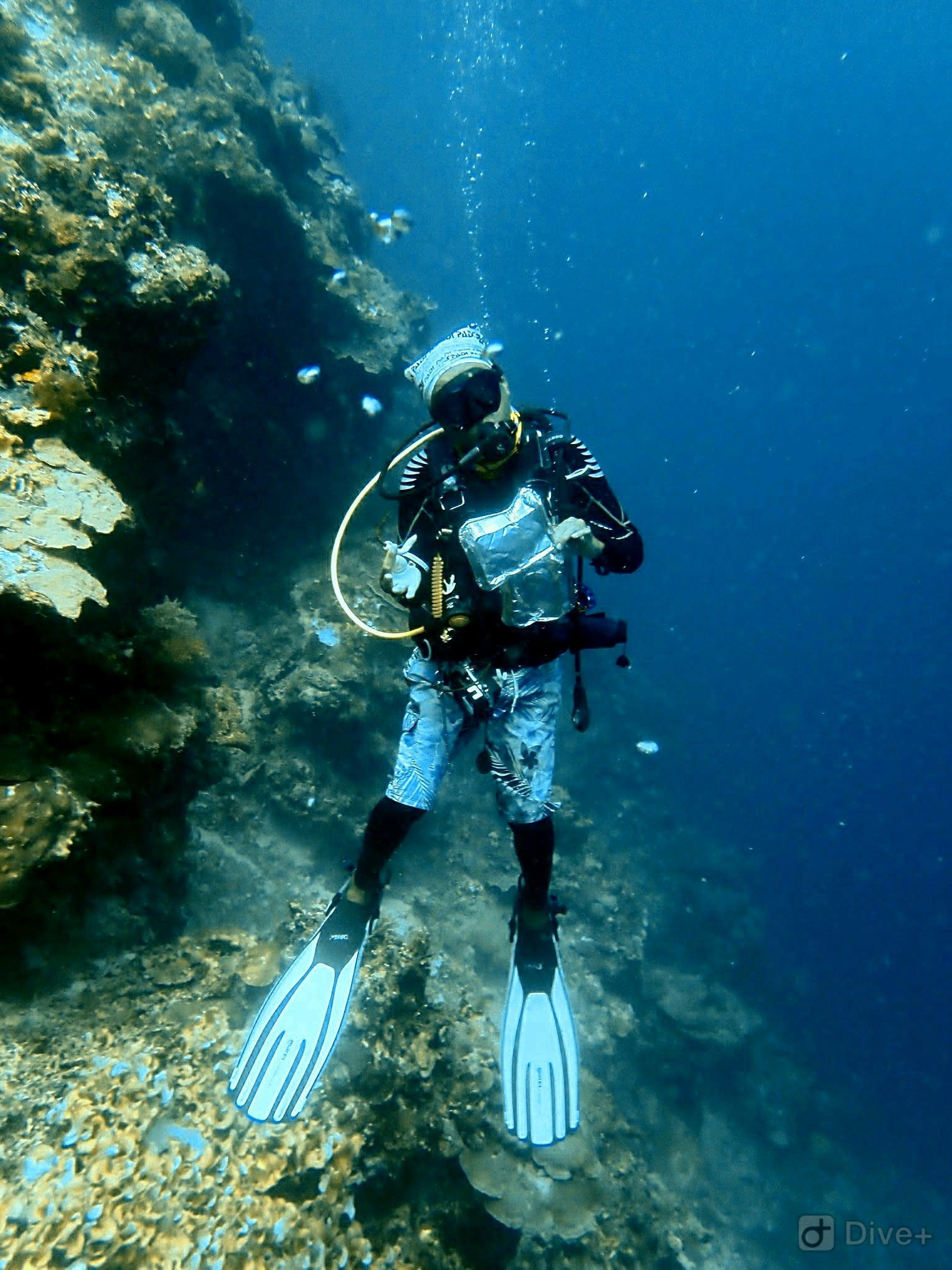
This was our first debris dive here, and we were a bit shocked at how much we collected. Although the items weren't heavy, we found a lot of smaller plastic fragments.
We surveyed by the plane, the Cessna, and the training platforms. We found most of the debris by the plane in the deeper part of the quarry.
During the 5 meter safety stop I found three broken bottles of glass, (which resulted in a deep cut on my finger - lesson learnt - always wear gloves on a debris dive). I'm glad the broken glass has been removed from the site, as students shouldn't have broken glass as a hazard when learning buoyancy skills on a dive.
Most of the debris we found was clearly trash from diving, broken dive equipment, pieces of tape from cylinders, cable ties - but also debris from the surface such as glass bottles, plastic bags, food wrappers.
The debris collected showed the journey of the trash from the diving car park to the the bottom of Capernwray, and a good indication that the debris may well have made its way into other bodies of water.
Definitely a worthwhile Debris dive and I'm sure we will be back to clean up one of our favorite Quarry dives!
Fin insert from buying new fins - this should be removed before a dive, not pleasant to be seeing plastic used in a scuba store ending up in the water
Sunny
3
1
1
Cable Ties
Hair Bobble
Fin insert
Scuba Leeds
Susannah Noble
1
2
1
0.30
45
15.00
3.00
measured
1317.00
Parts of broken scuba diving equipment - fin inserts, cable ties and broken fin buckle
Plastic tape from dive cylinders
Plastic food wrappers
1
On
kilograms
I have debris data to report
Calm (glassy to rippled) for waves 0 – 0.1 meter high
2
m2


meters
other
3
Map Help
Dive Location
If you know your survey site coordinates, enter them manually in decimal degrees using WGS84 Map Datum. Use the minus sign for latitudes south of the equator and longitudes west of the Prime Meridian to 180 degrees.
If you do not know your survey site coordinates, click the “Map Location” tab to use the map to zoom into your survey site and drop the pin on the map to fall within your survey dive site in the water (not on land or the beach). Ensure you zoom in as much as possible to ensure data accuracy.
Entangled Help
Use the vertical tabs below to record any entangled animals you found of each type.
Ecosystem Other
Quarry