San Niklaw Bay
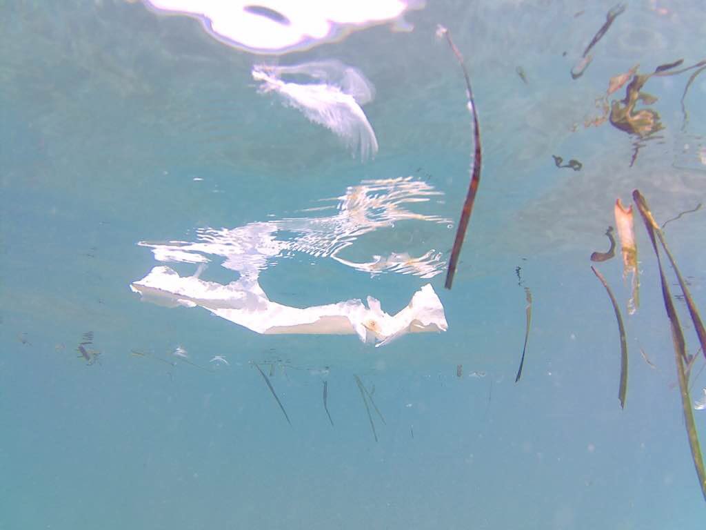
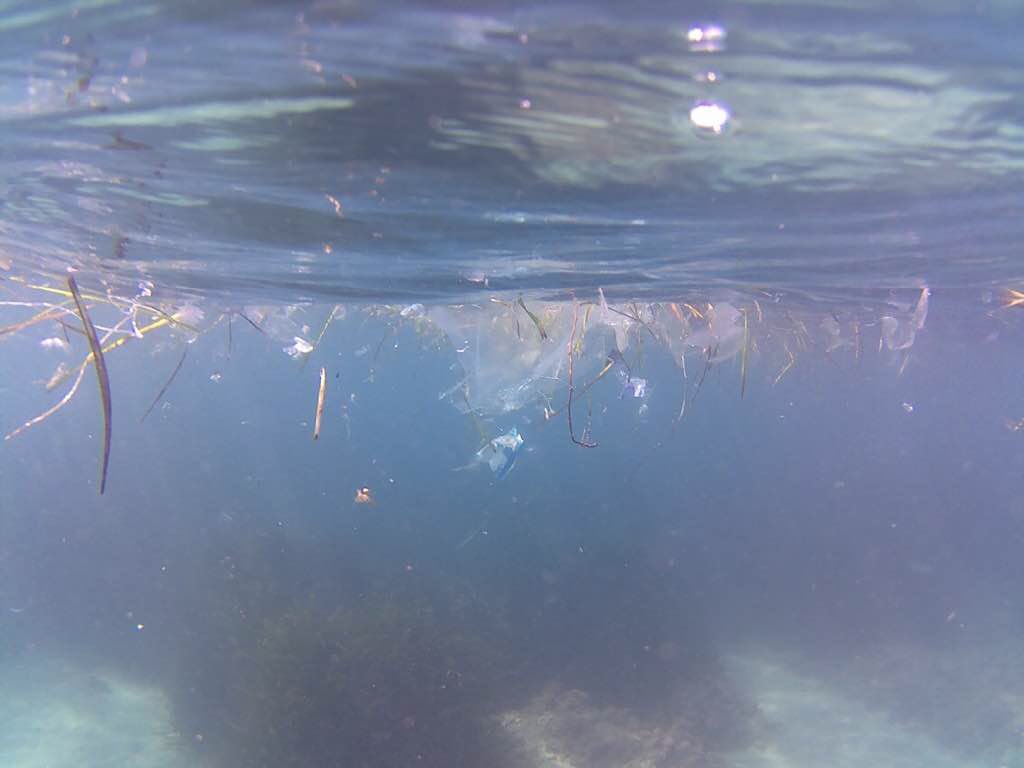
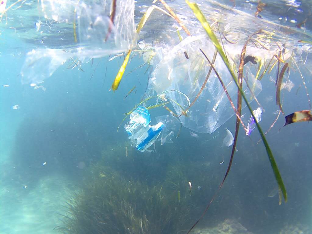
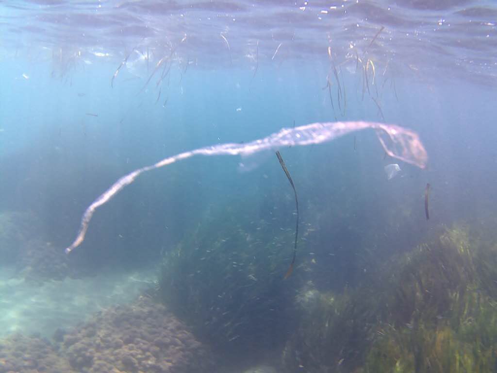
seagrass
 Malta
Malta
2
2
2
36.016728084768, 14.329003536242
Storm during the winter season
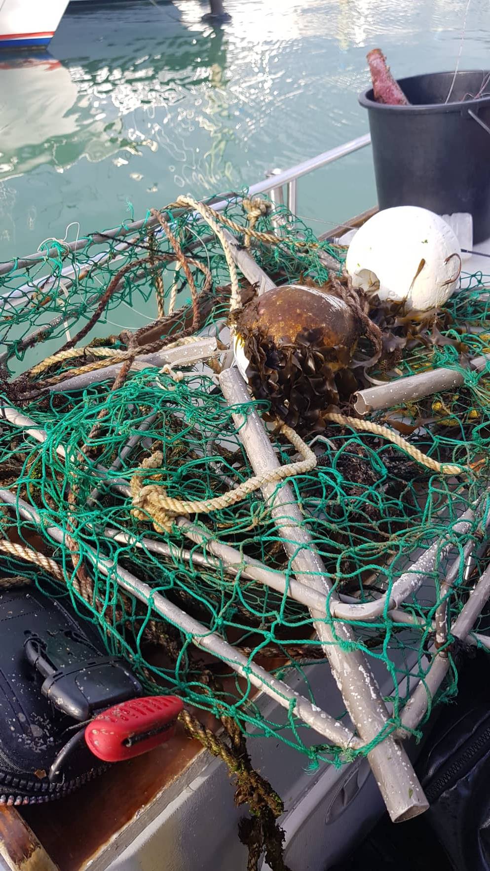
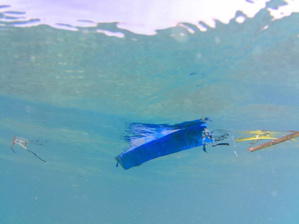
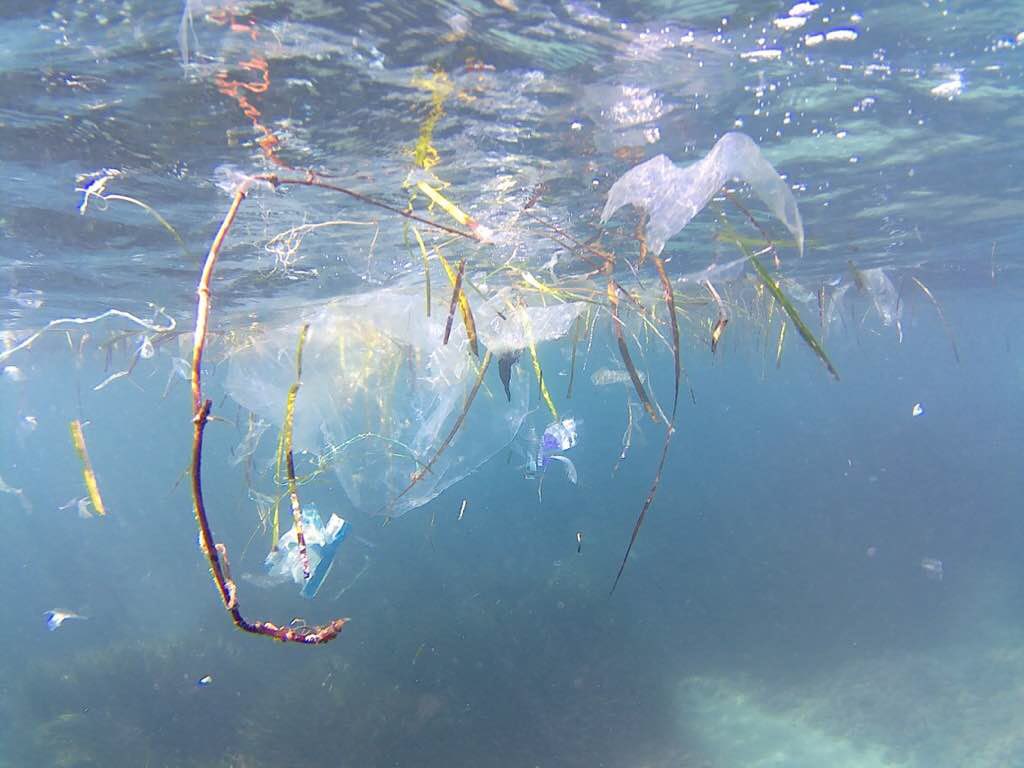
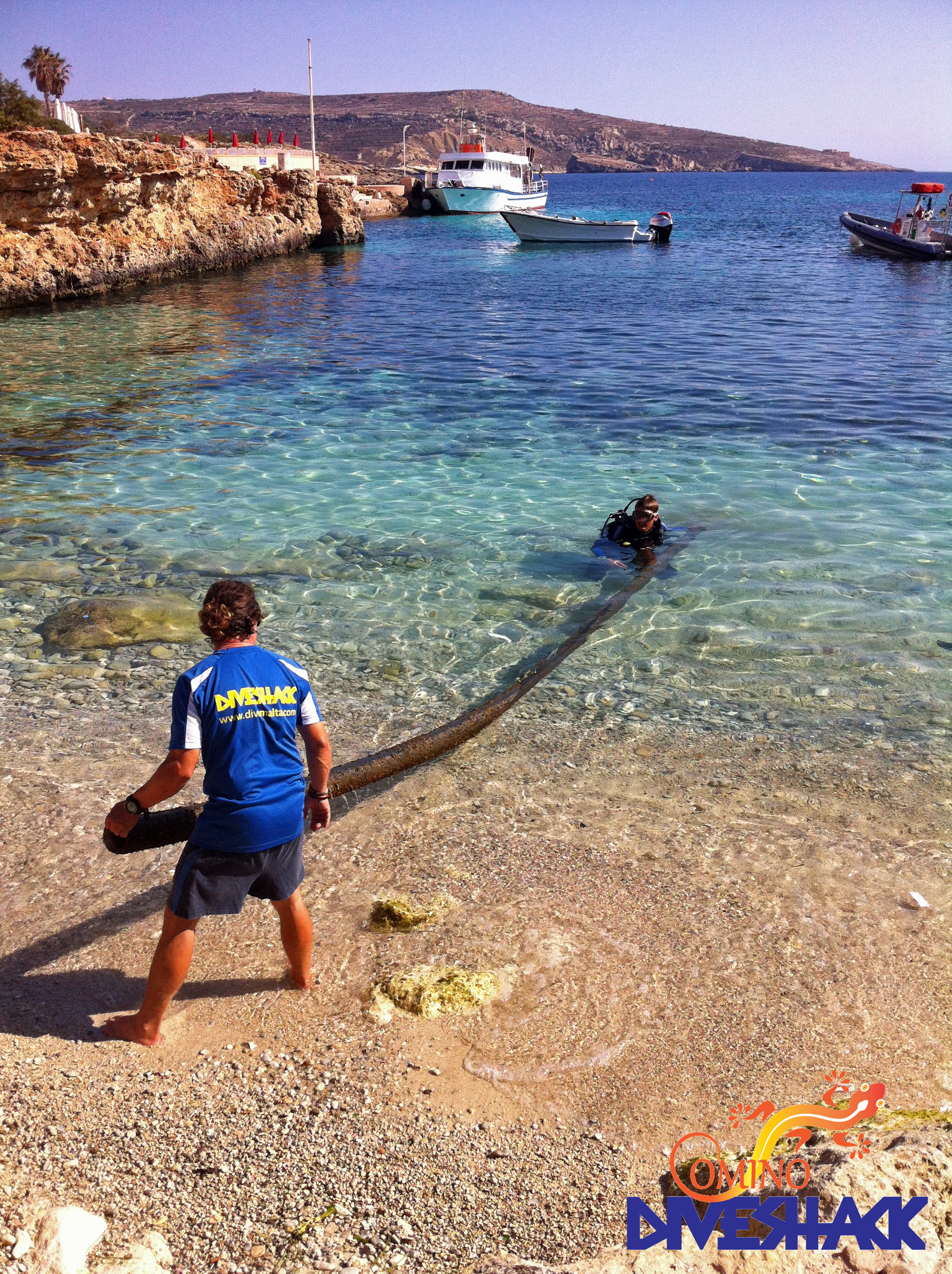
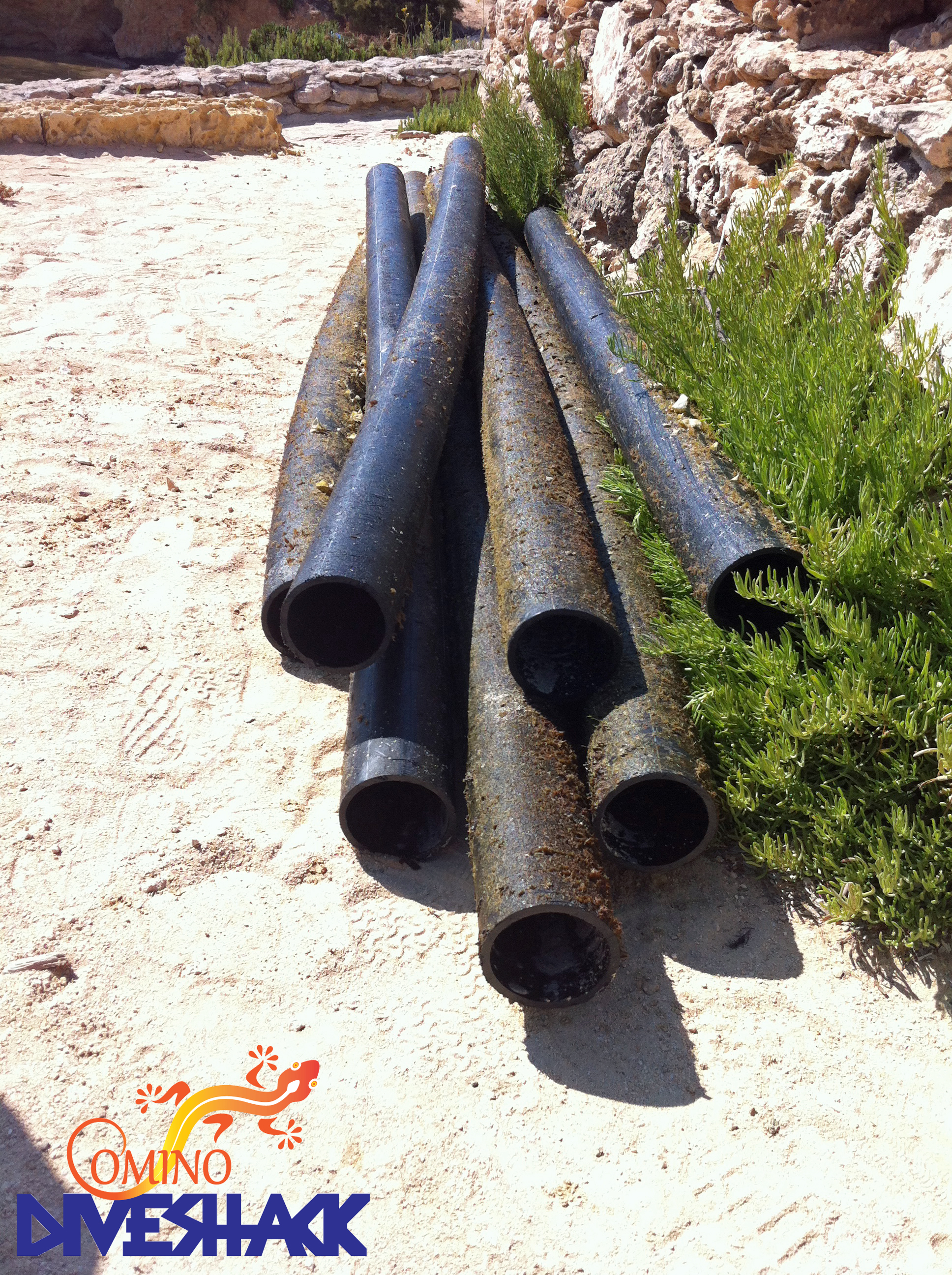
over 30m long plastic pipe
stormy
Comino Diveshack
Comino Diveshack
1
2
1
3
2
2
35.00
30
3.00
1.00
estimated
100.00
over 30m long plastic pipe
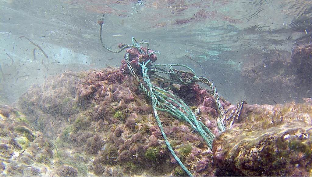
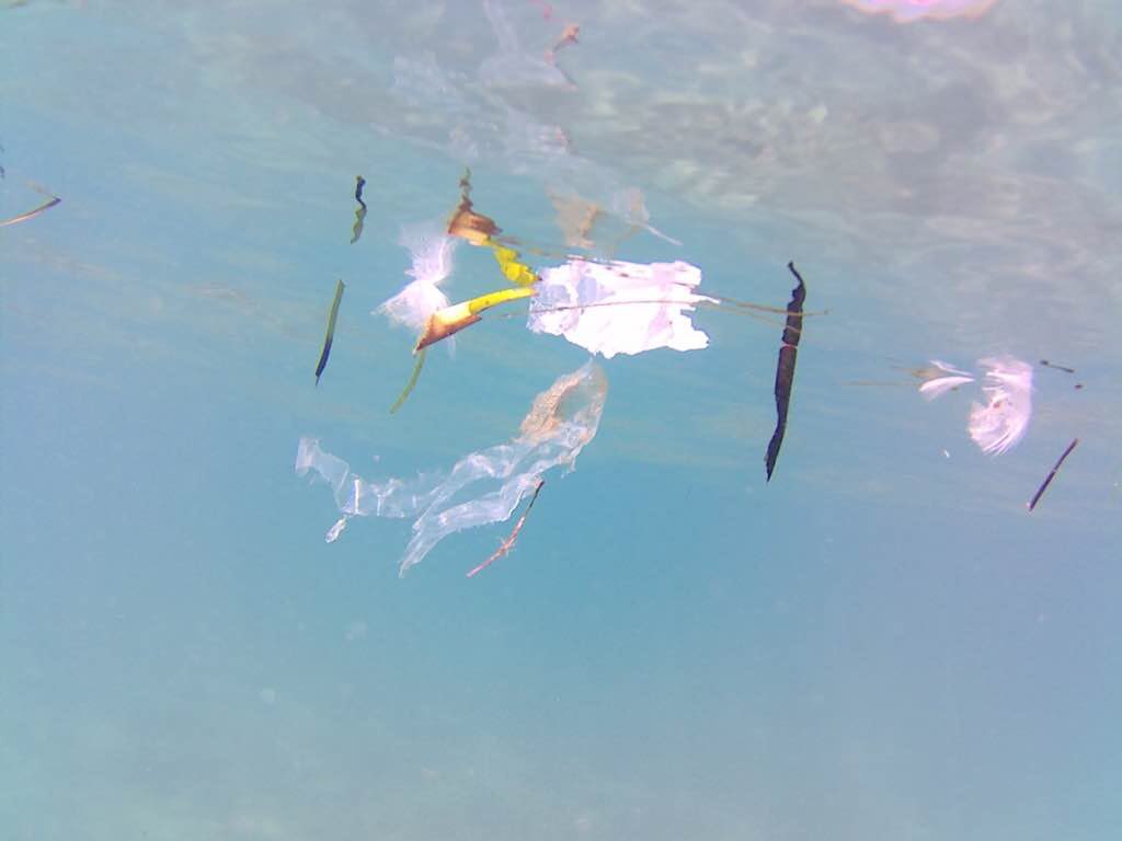
fishing line
glass
On
kilograms
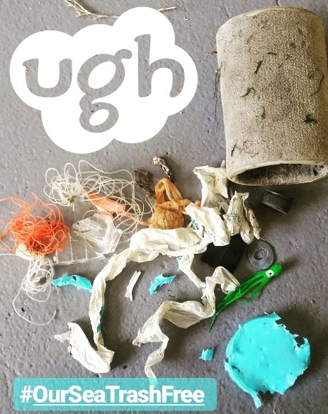
I have debris data to report
Calm (glassy to rippled) for waves 0 – 0.1 meter high
3
m2
meters
seagrass
1
45
City
Comino
Map Help
Dive Location
If you know your survey site coordinates, enter them manually in decimal degrees using WGS84 Map Datum. Use the minus sign for latitudes south of the equator and longitudes west of the Prime Meridian to 180 degrees.
If you do not know your survey site coordinates, click the “Map Location” tab to use the map to zoom into your survey site and drop the pin on the map to fall within your survey dive site in the water (not on land or the beach). Ensure you zoom in as much as possible to ensure data accuracy.
Entangled Help