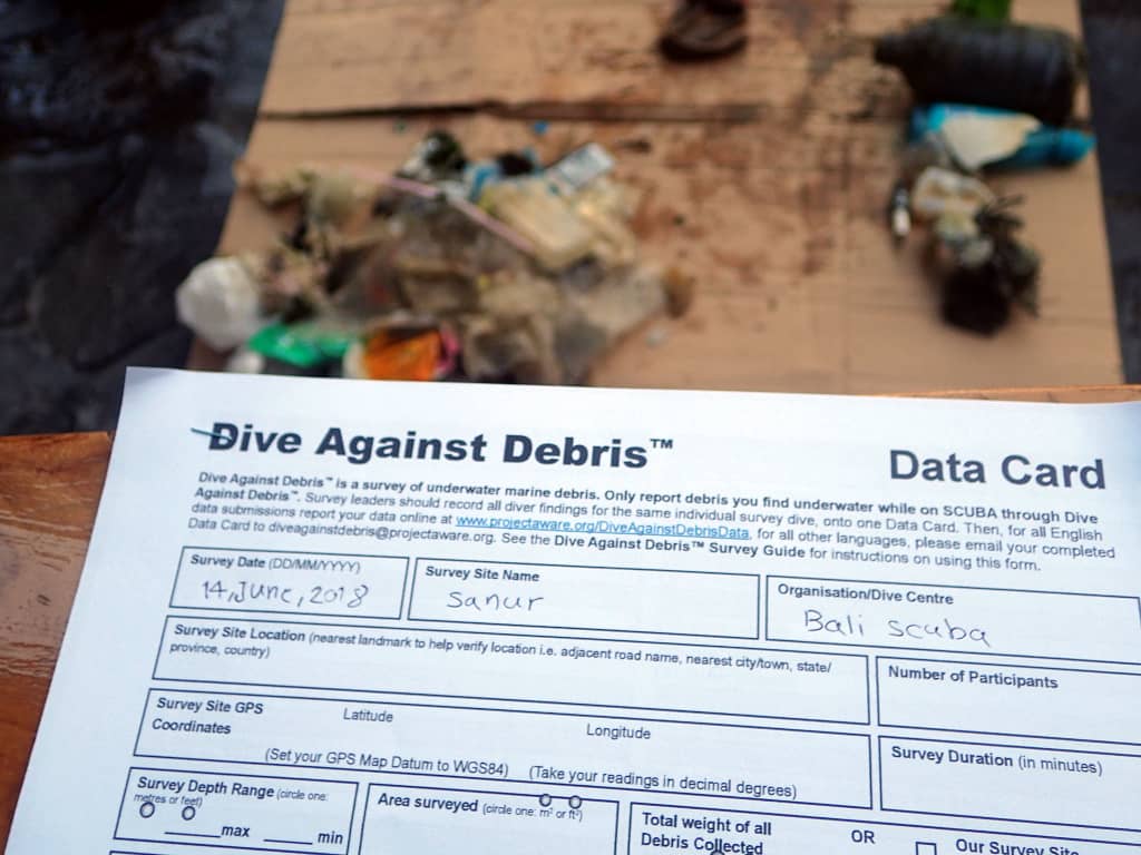
Ras Katy & Middle Garden
5
2
coral
7
7
27.847455444033, 34.301044097375
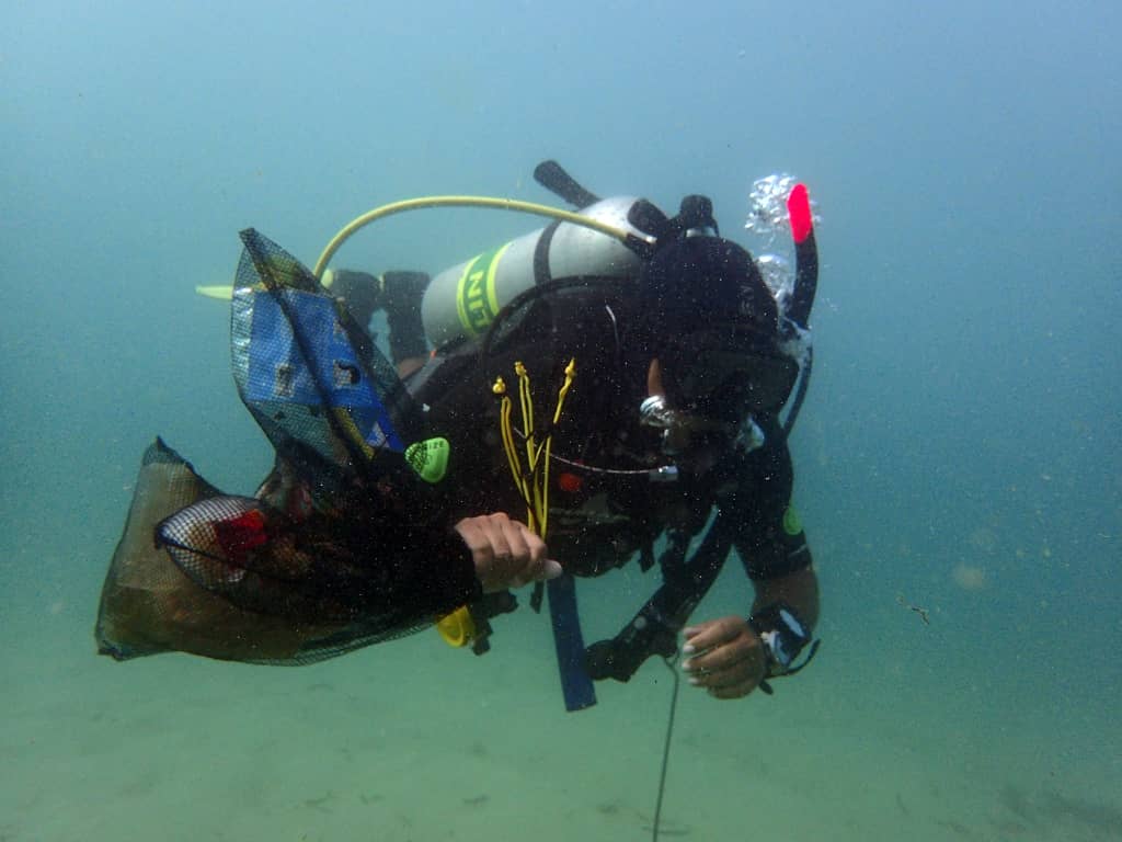
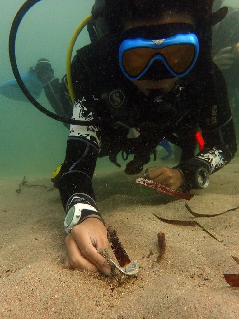
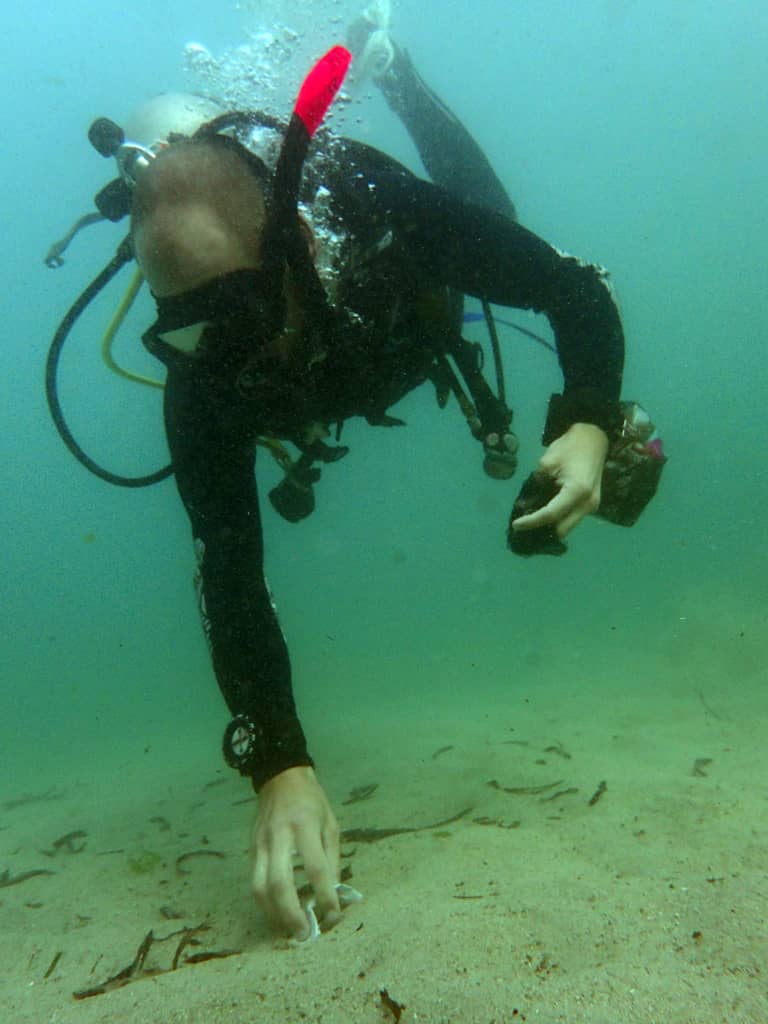
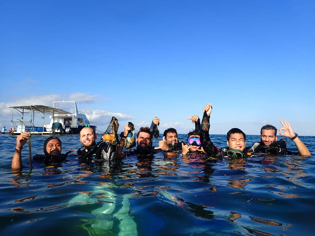
Thank you to Mohamed Abd el Rasik, Thomas Hartwell and Richard Kempton for the underwater shots.
Calm and Sunny.
5
Fiber Glass fragments
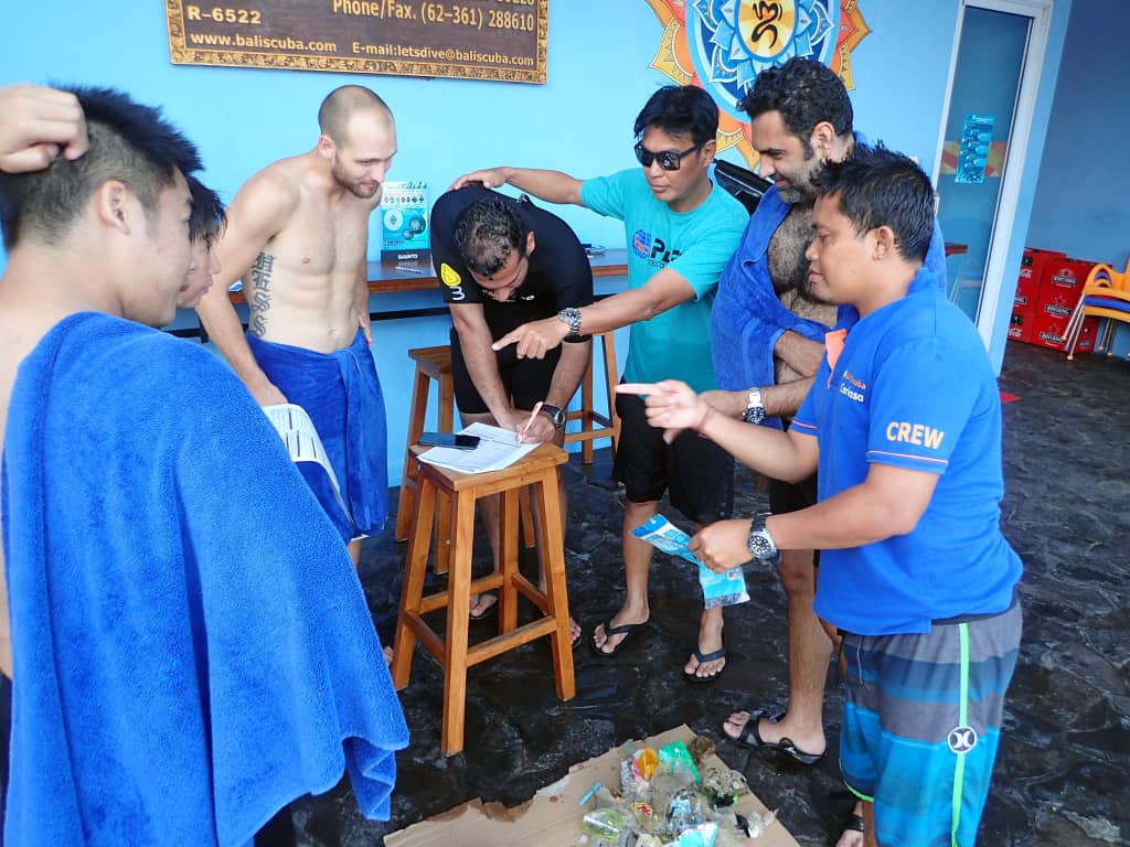
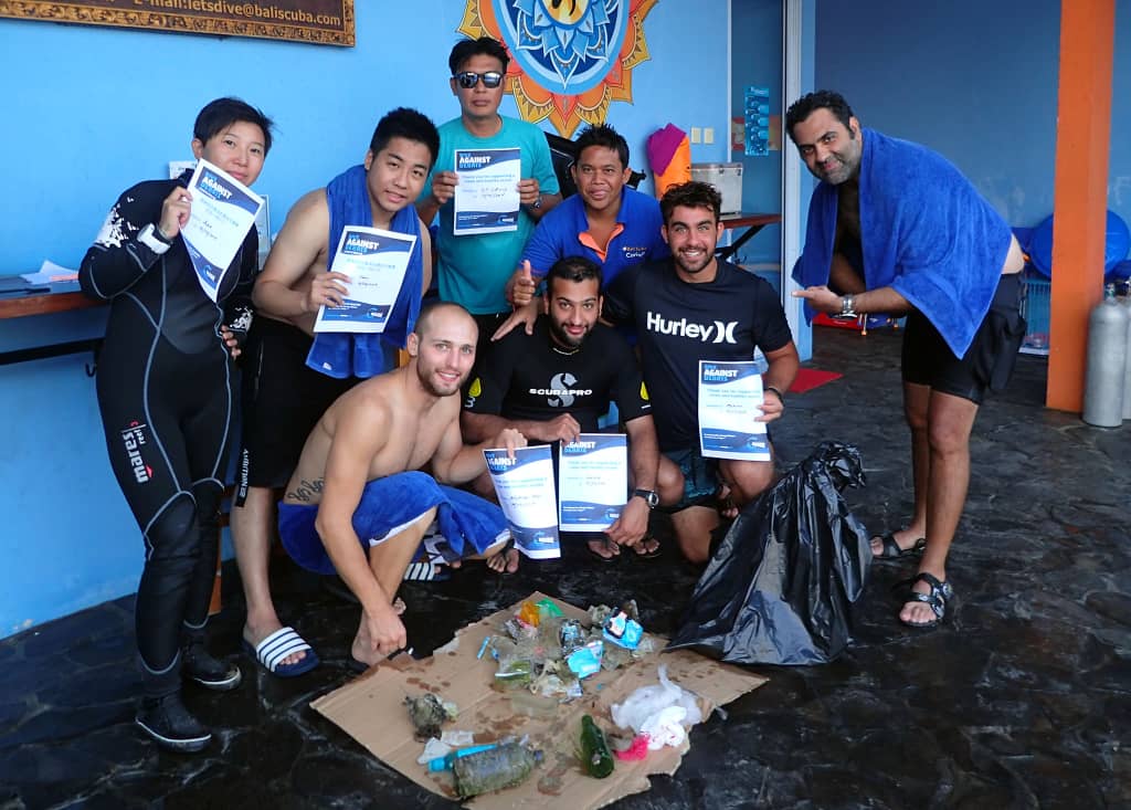
Camel Dive Club
Beth Sanders
4
1
3
25
1
20
22.00
60
20.00
1.00
measured
200.00
Aluminium drinks cans
Plastic bags
On
kilograms
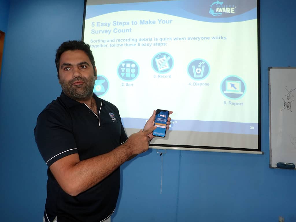
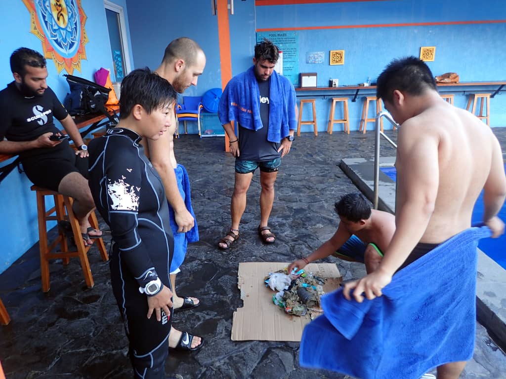
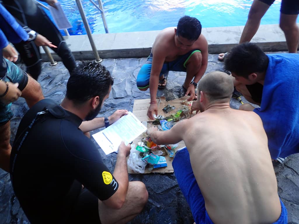
I have debris data to report
5
Calm (glassy to rippled) for waves 0 – 0.1 meter high
1
2
2
m2


meters
coral reef
1
1
13
State\Province
Sinai
City
Sharm el Sheikh
Map Help
Dive Location
If you know your survey site coordinates, enter them manually in decimal degrees using WGS84 Map Datum. Use the minus sign for latitudes south of the equator and longitudes west of the Prime Meridian to 180 degrees.
If you do not know your survey site coordinates, click the “Map Location” tab to use the map to zoom into your survey site and drop the pin on the map to fall within your survey dive site in the water (not on land or the beach). Ensure you zoom in as much as possible to ensure data accuracy.
Entangled Help