ADS416 - Sanur Dog Point
-8.7091355406937, 115.26753113444
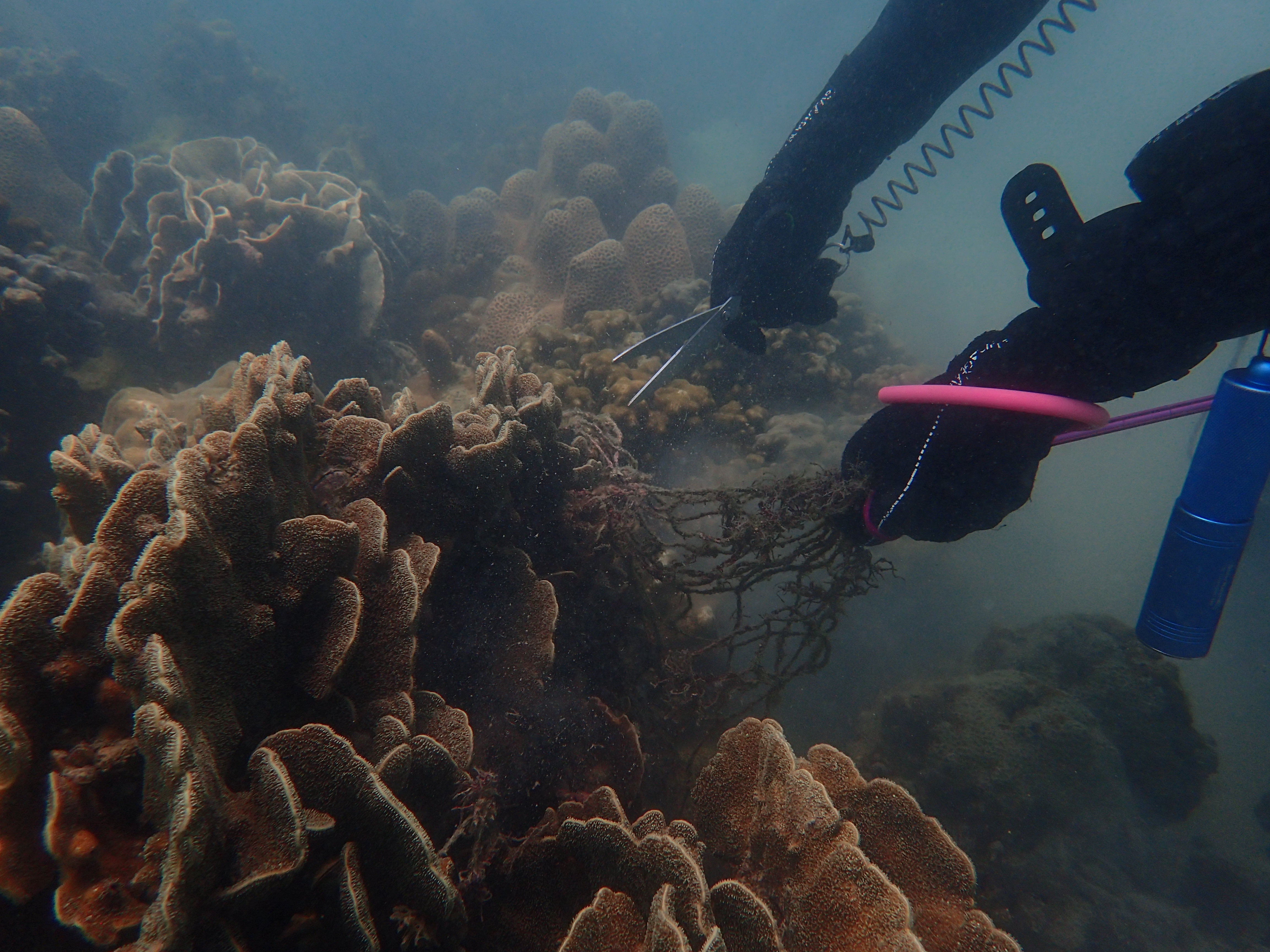
The dive we organized was with a group of experienced divers, however due to the bad weather ( strong wind, big waves ) and the water condition ( bad visibility due to weather, and strong current ) we were able to do an only short dive on a small area where we didn't find any debris.
Strong wind and big tides.
Dune Atlantis
Karl Singery
7
0.00
20
9.00
4.00
measured
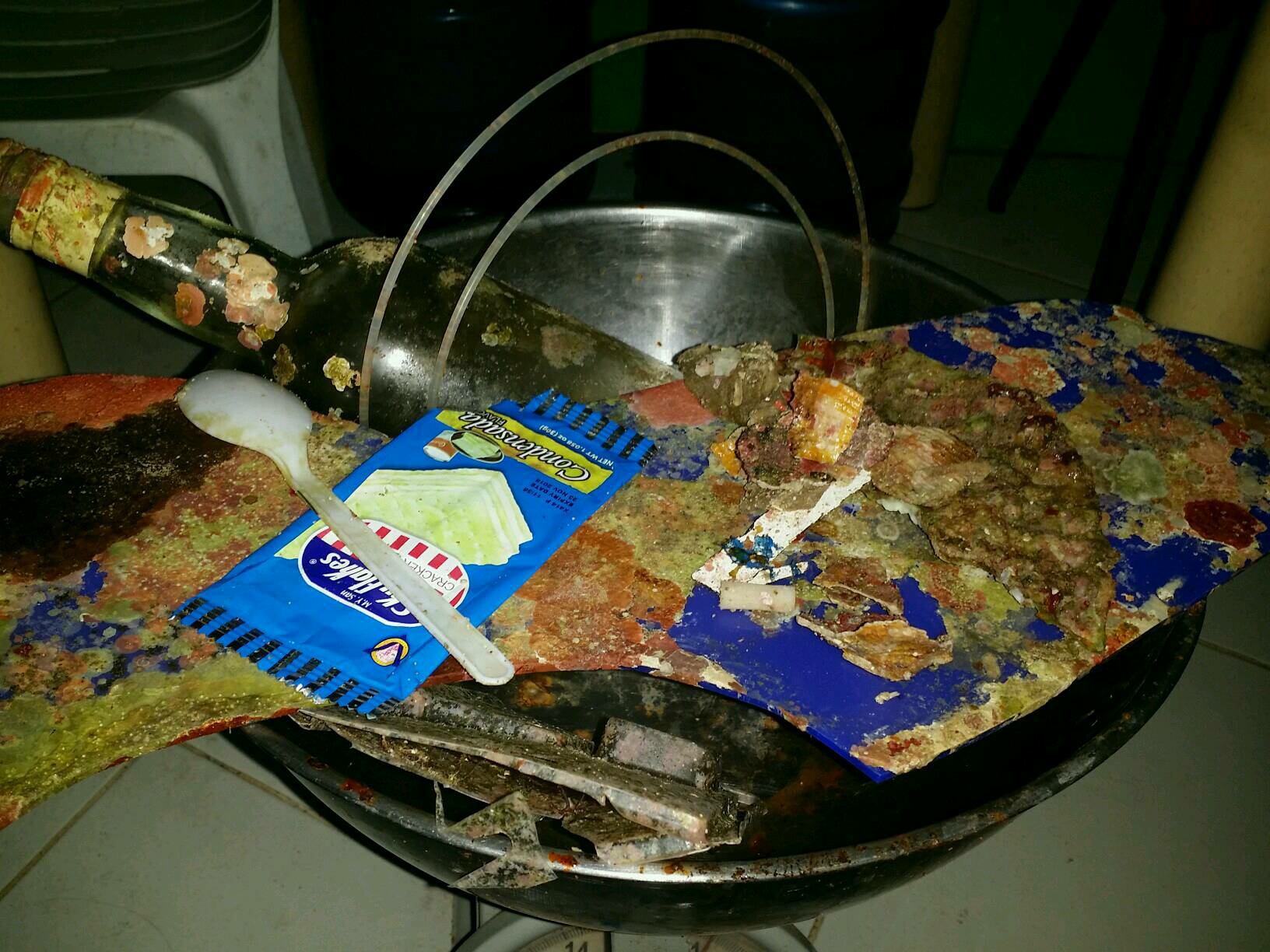
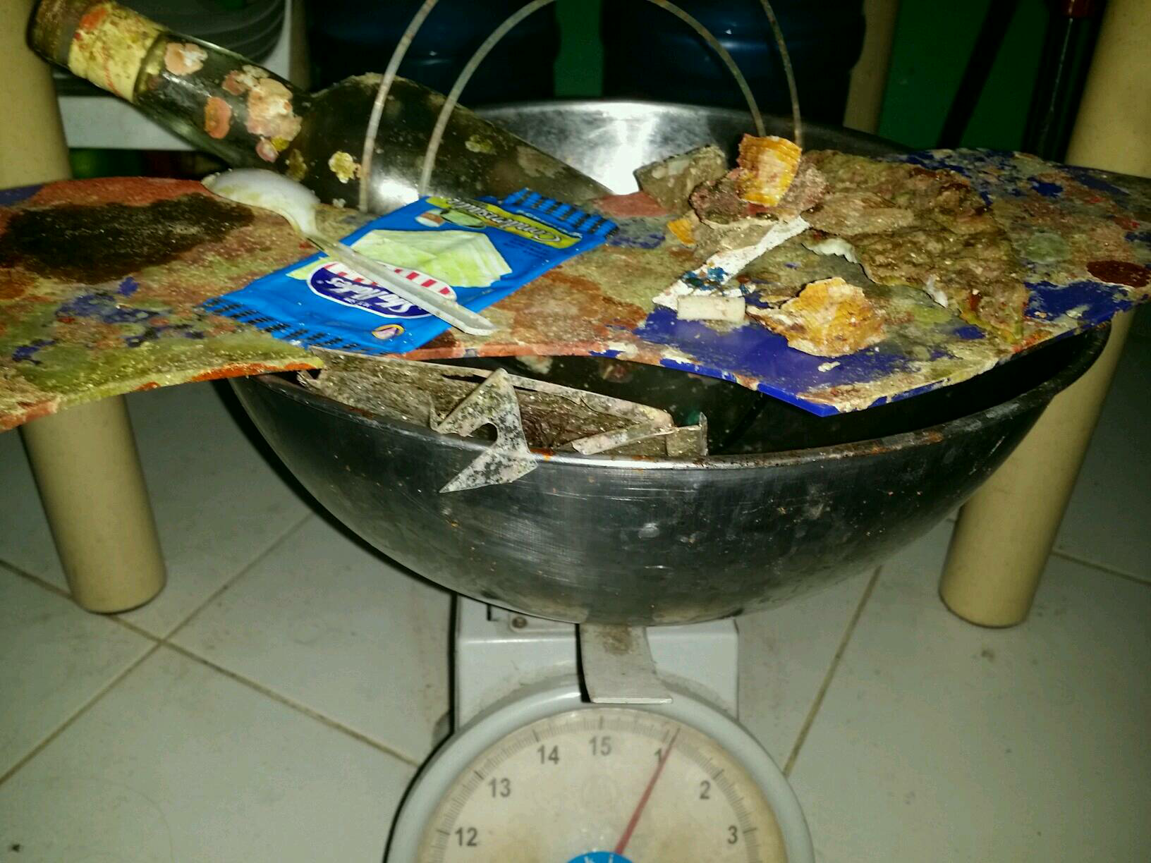
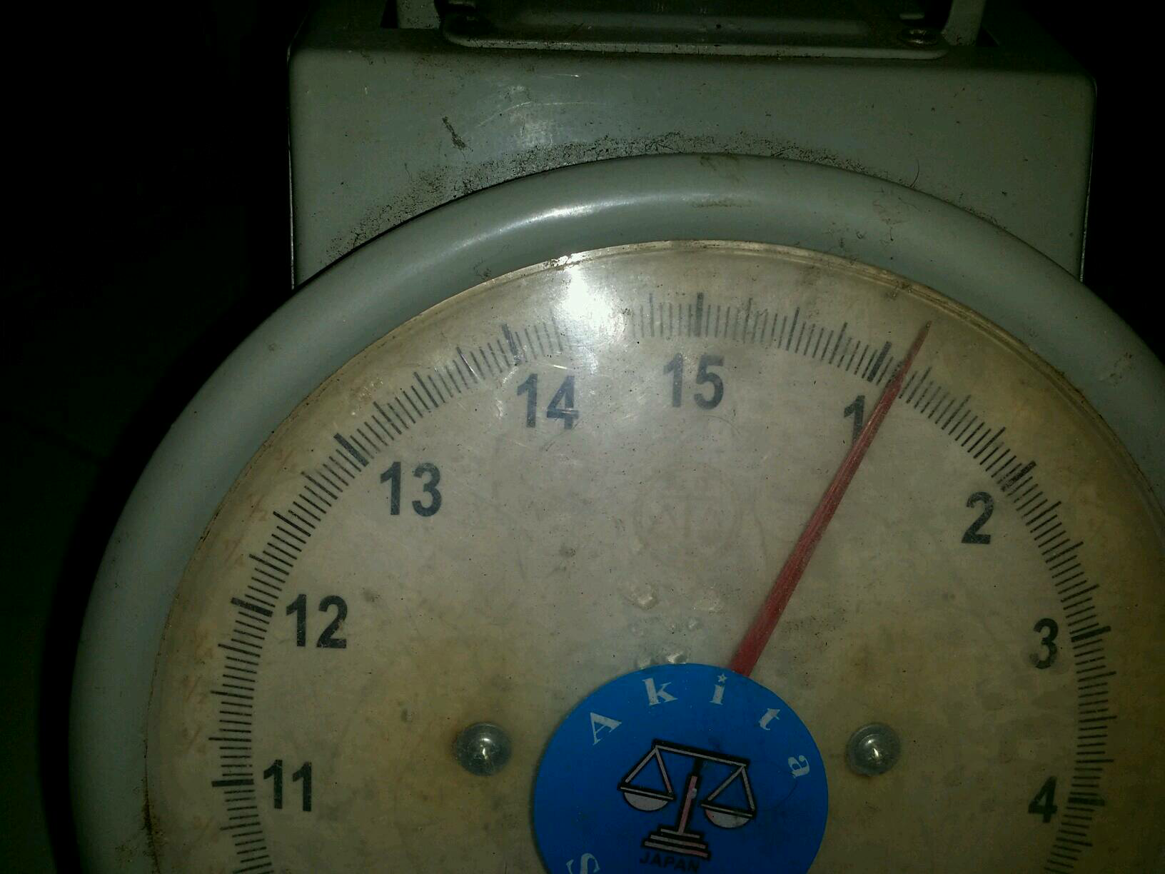
50.00
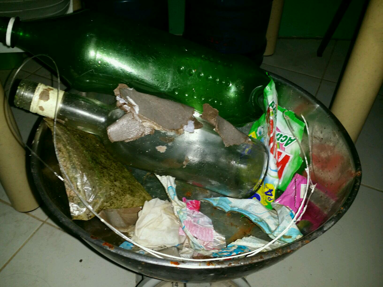
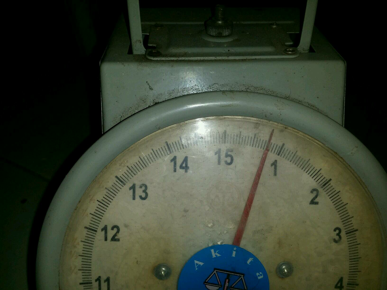
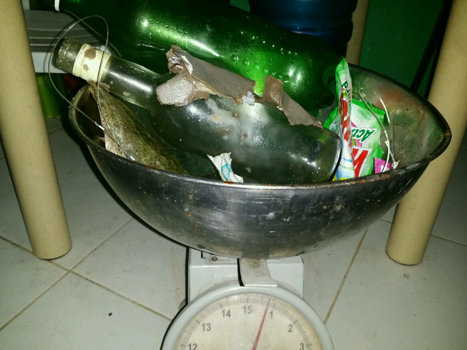
On
kilograms
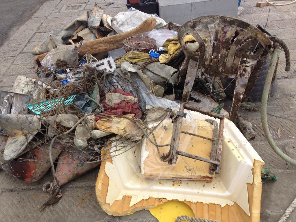
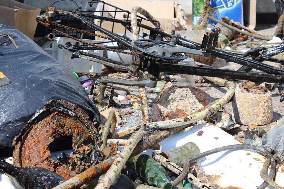
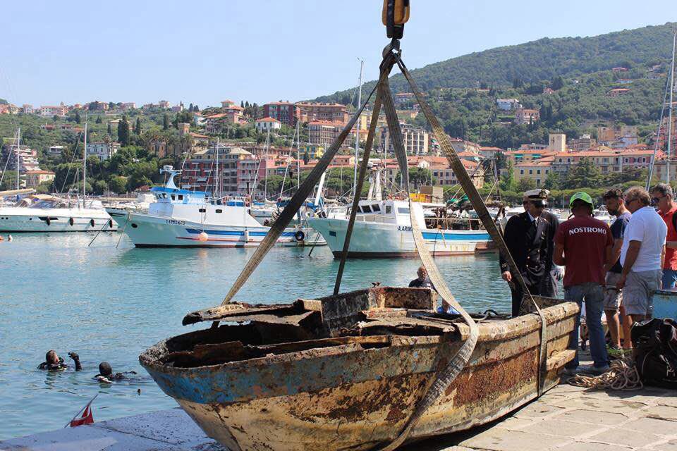
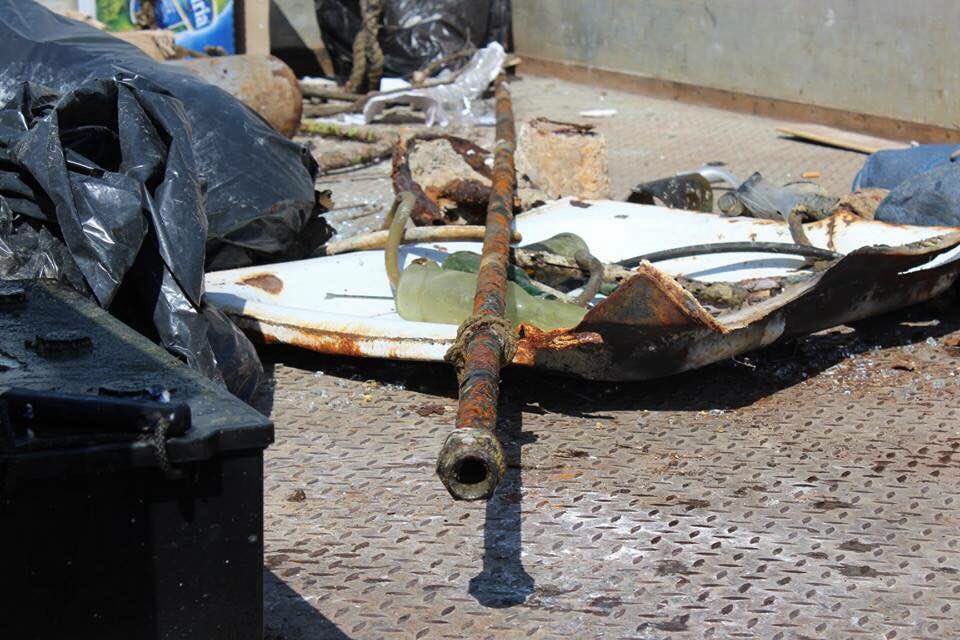
Our Survey Site was free of debris
Moderate to rough for waves greater than 1.25 meters
m2

meters
coral reef
State\Province
Bali
City
Sanur
Map Help
Dive Location
If you know your survey site coordinates, enter them manually in decimal degrees using WGS84 Map Datum. Use the minus sign for latitudes south of the equator and longitudes west of the Prime Meridian to 180 degrees.
If you do not know your survey site coordinates, click the “Map Location” tab to use the map to zoom into your survey site and drop the pin on the map to fall within your survey dive site in the water (not on land or the beach). Ensure you zoom in as much as possible to ensure data accuracy.
Entangled Help