
ADS184 - Gold Coast Seaway
12
7
4
1
-27.93664, 153.426301
22
1
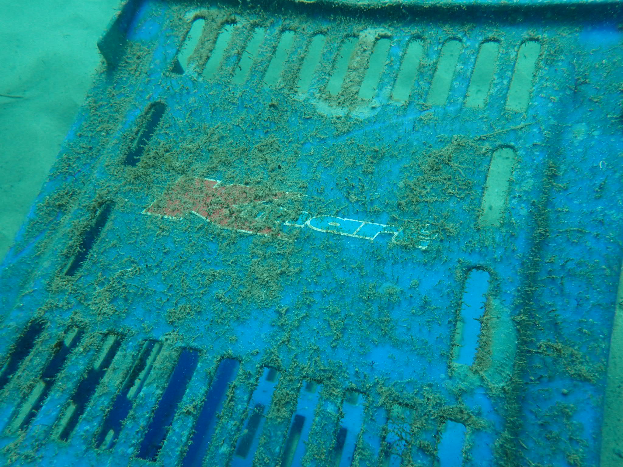
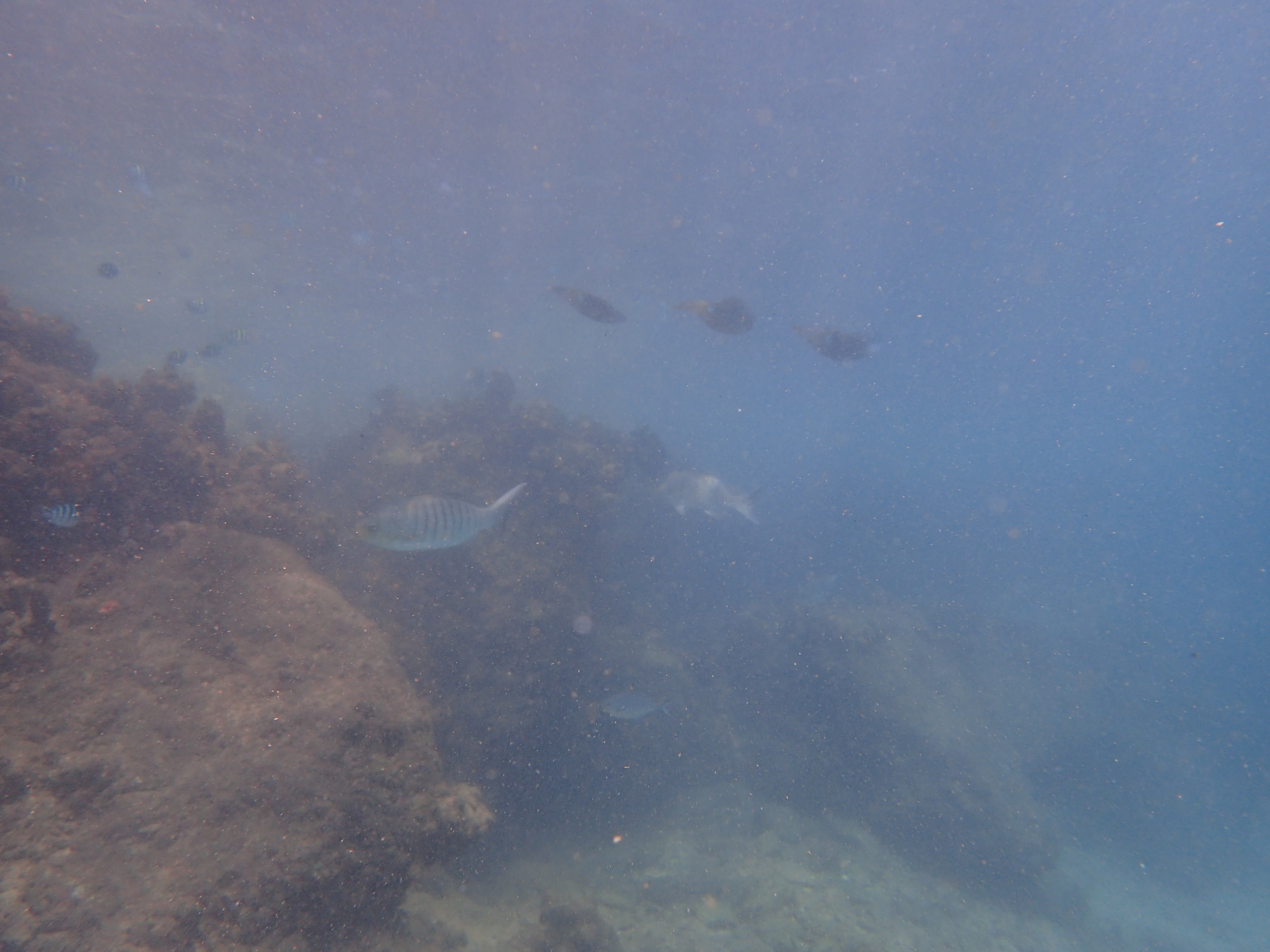
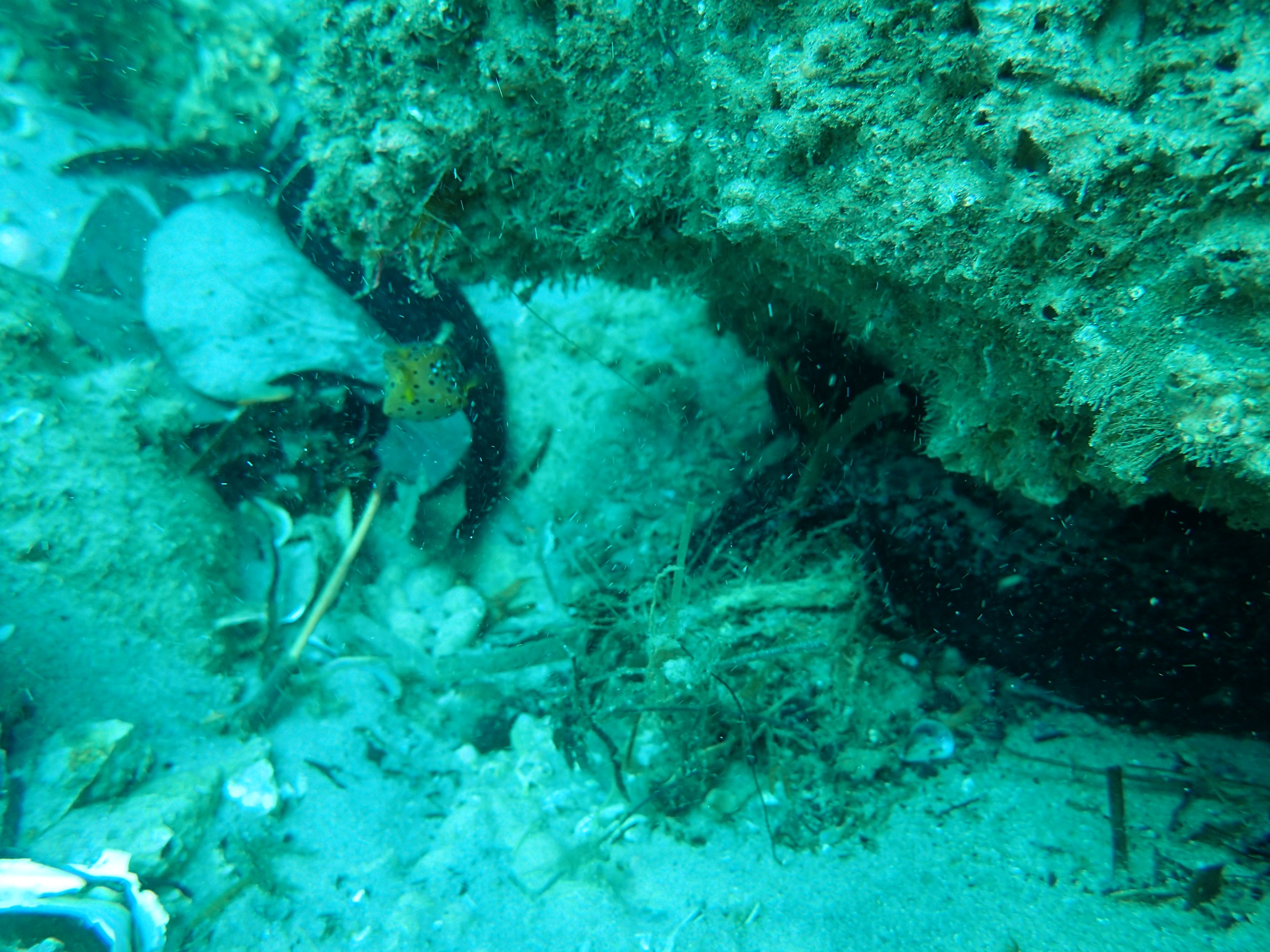
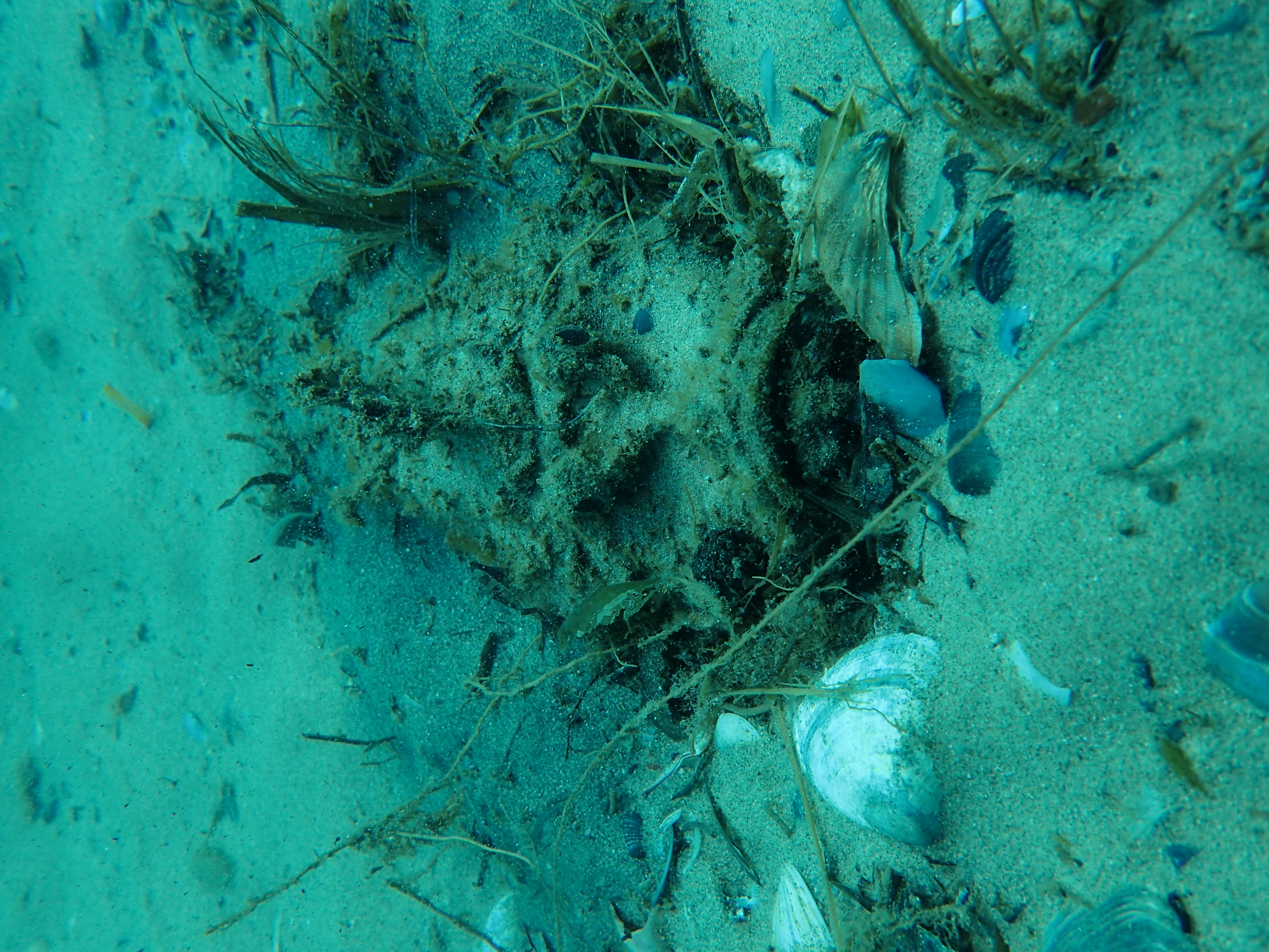
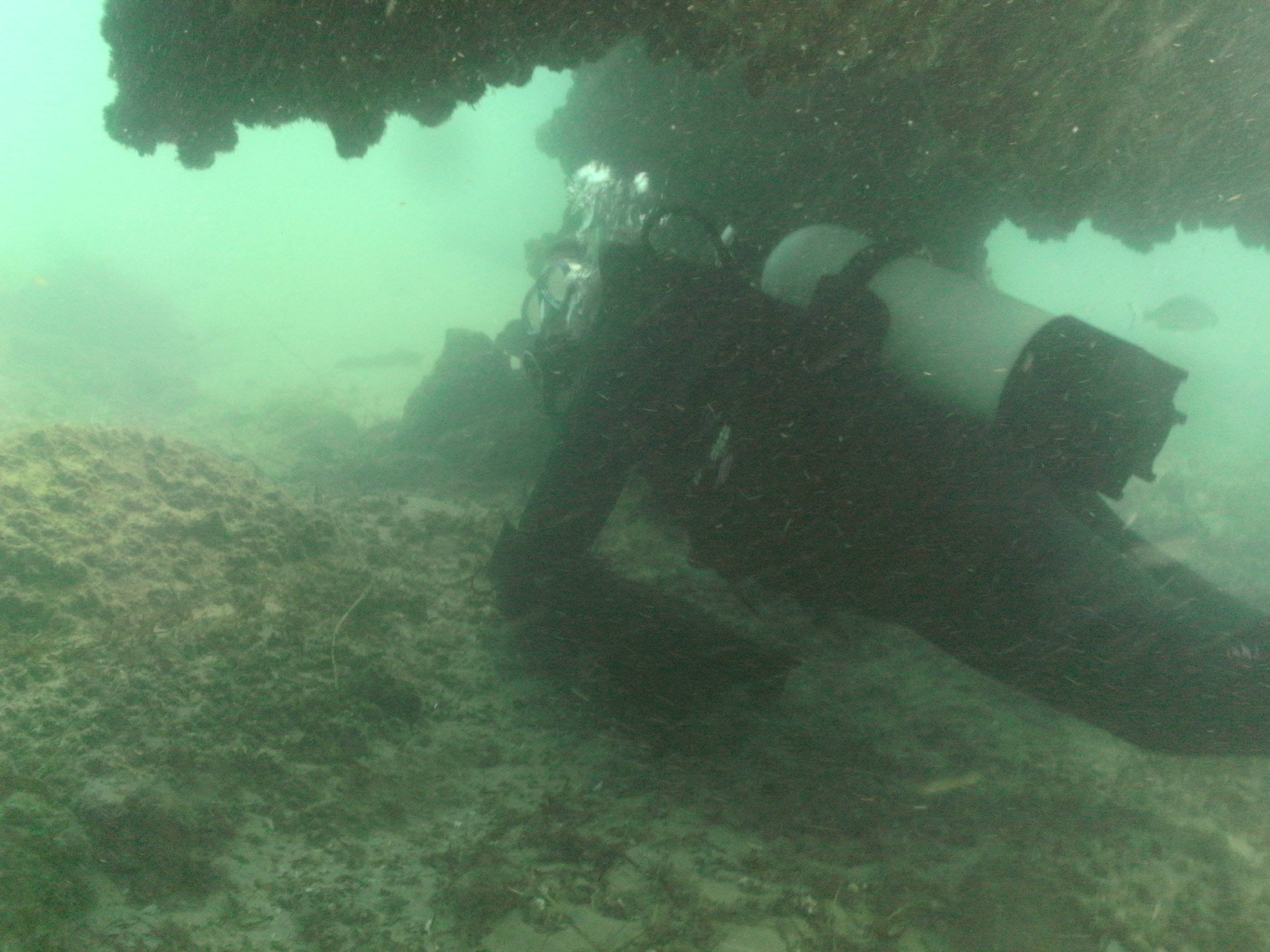
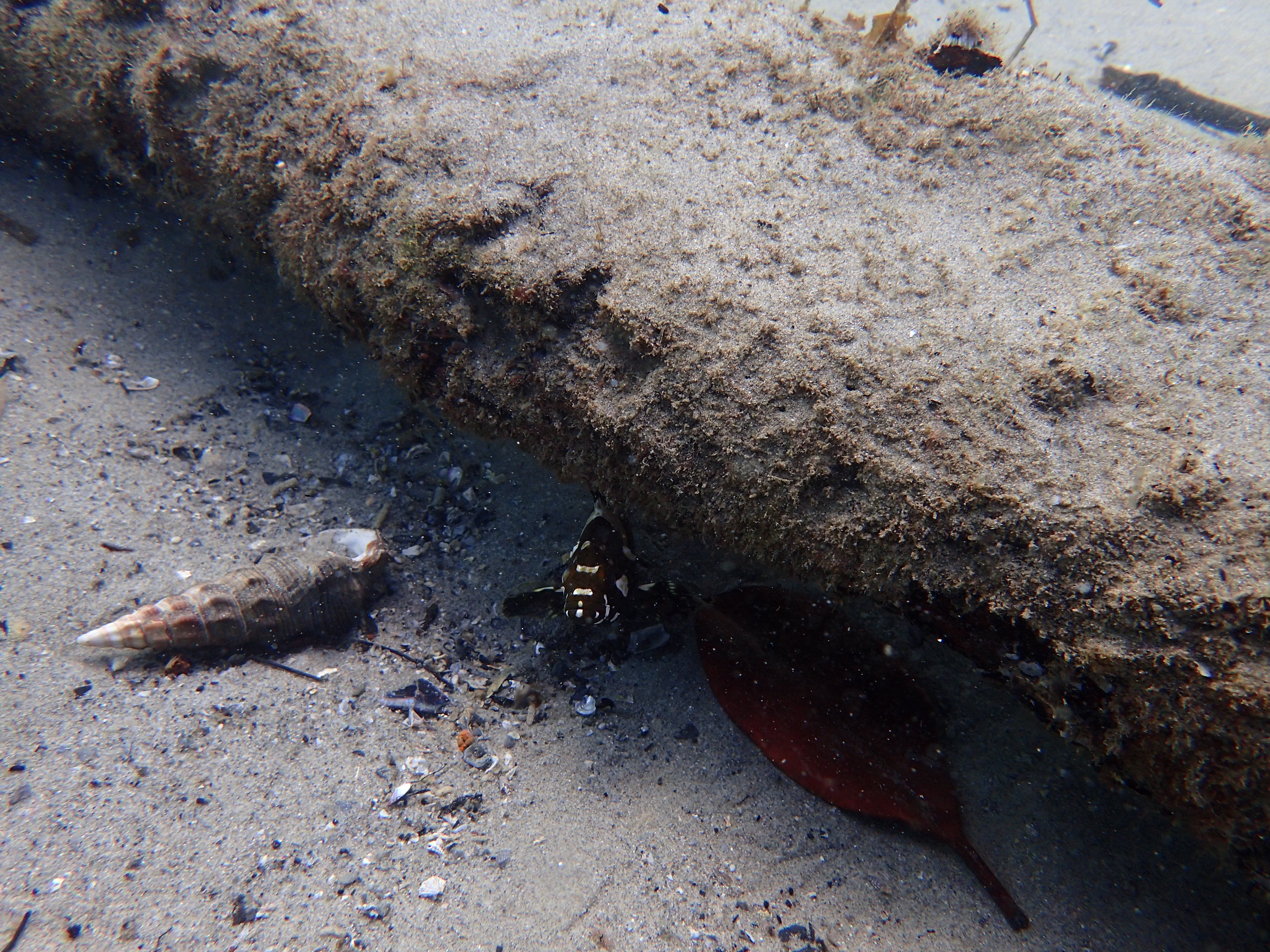
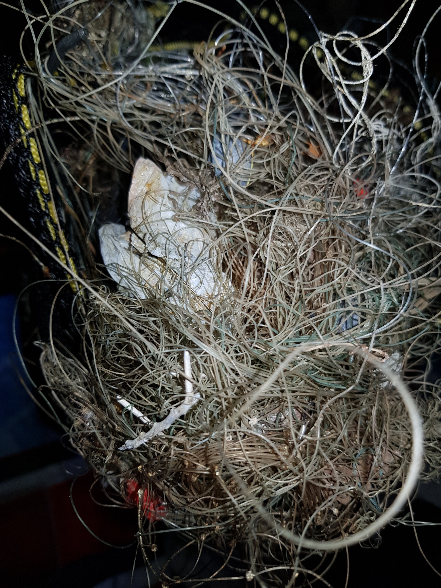
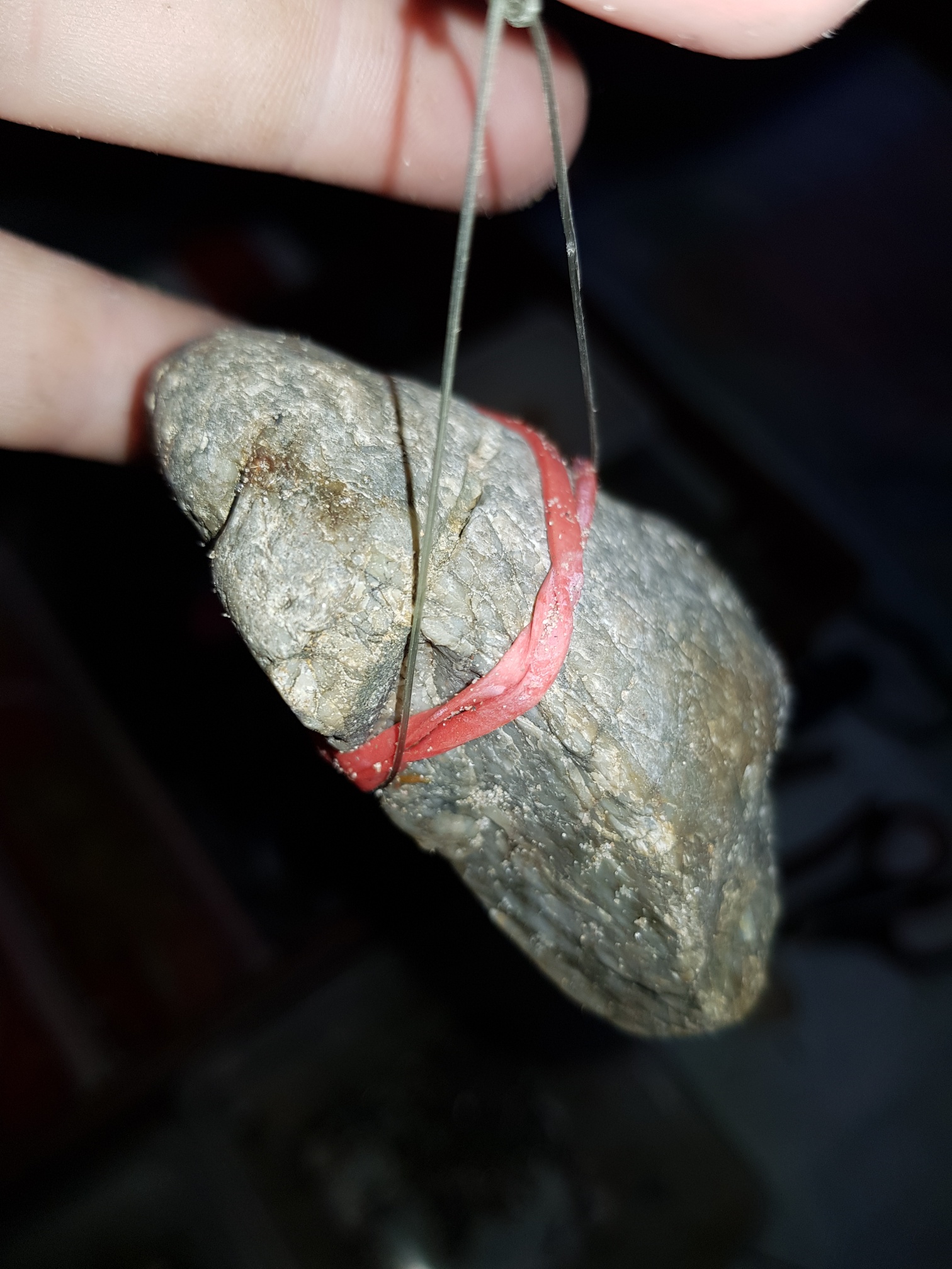
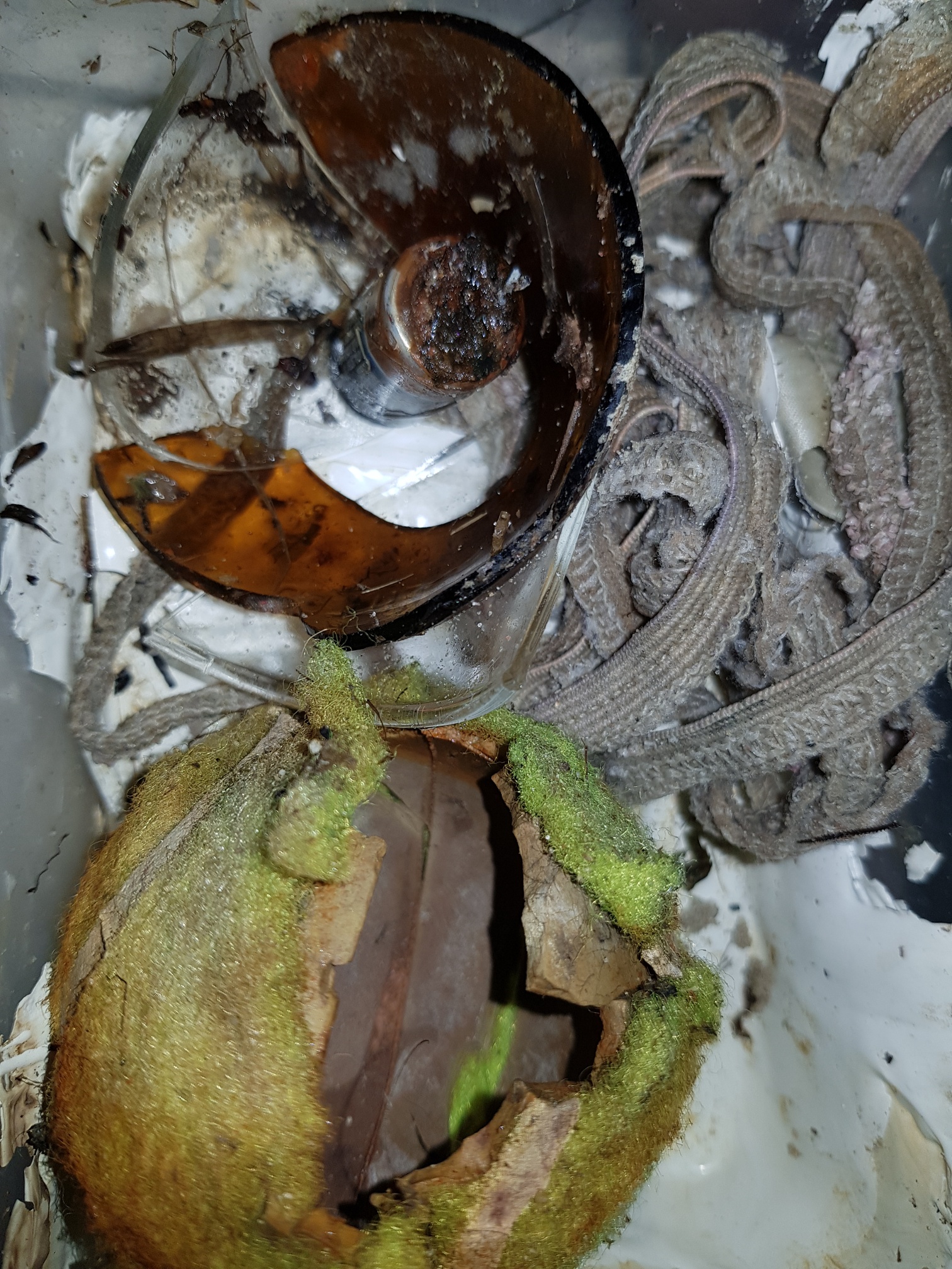
rock
2
12
405
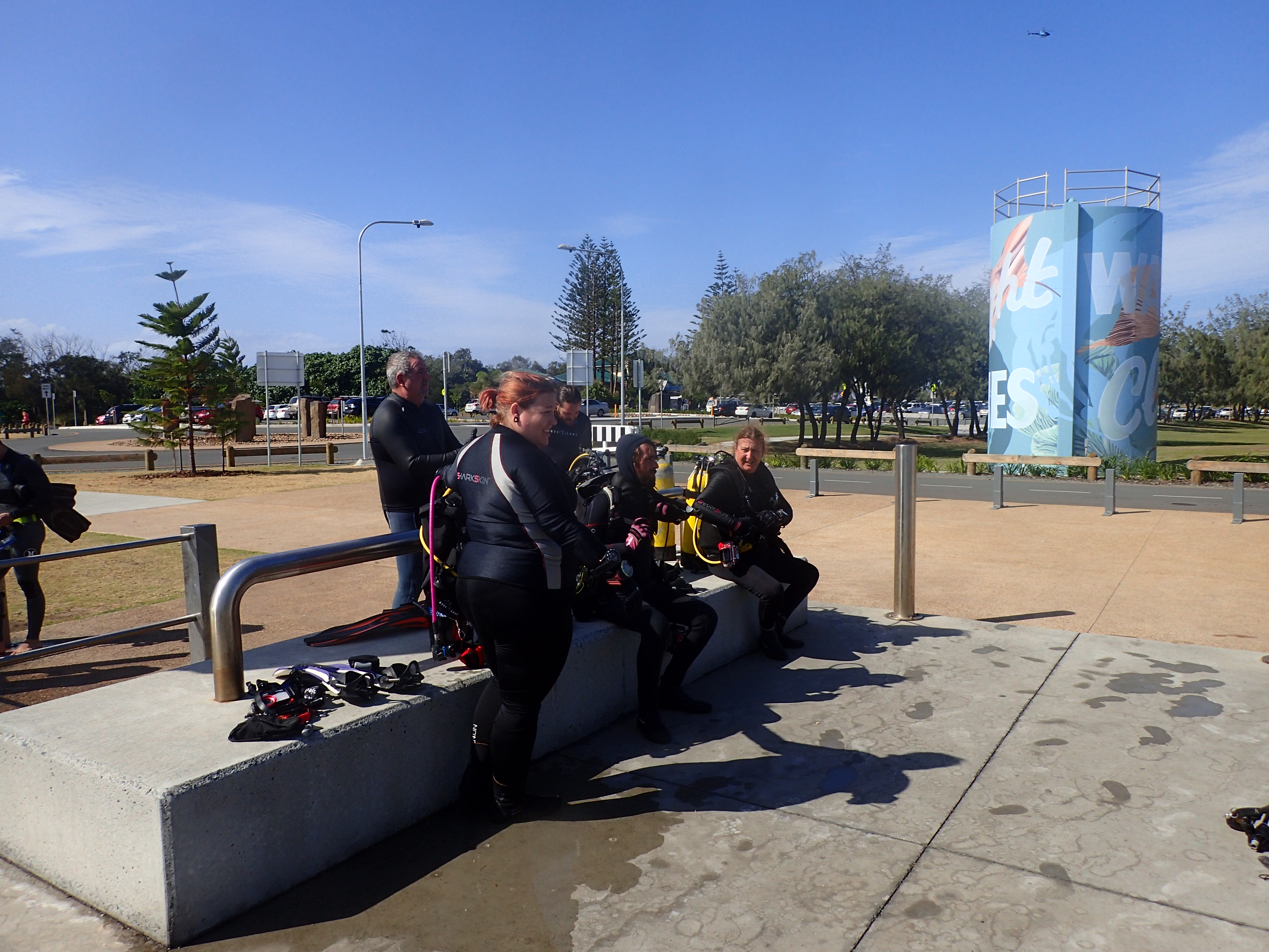
Gold Coast Commonwealth Games 2018
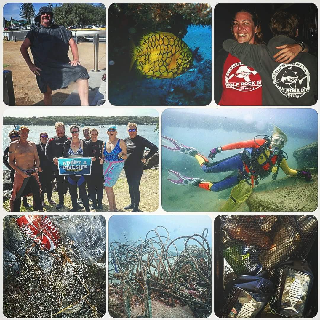
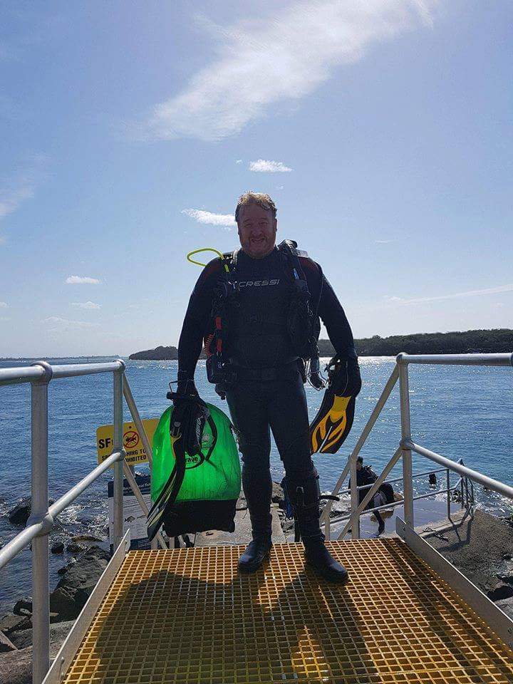
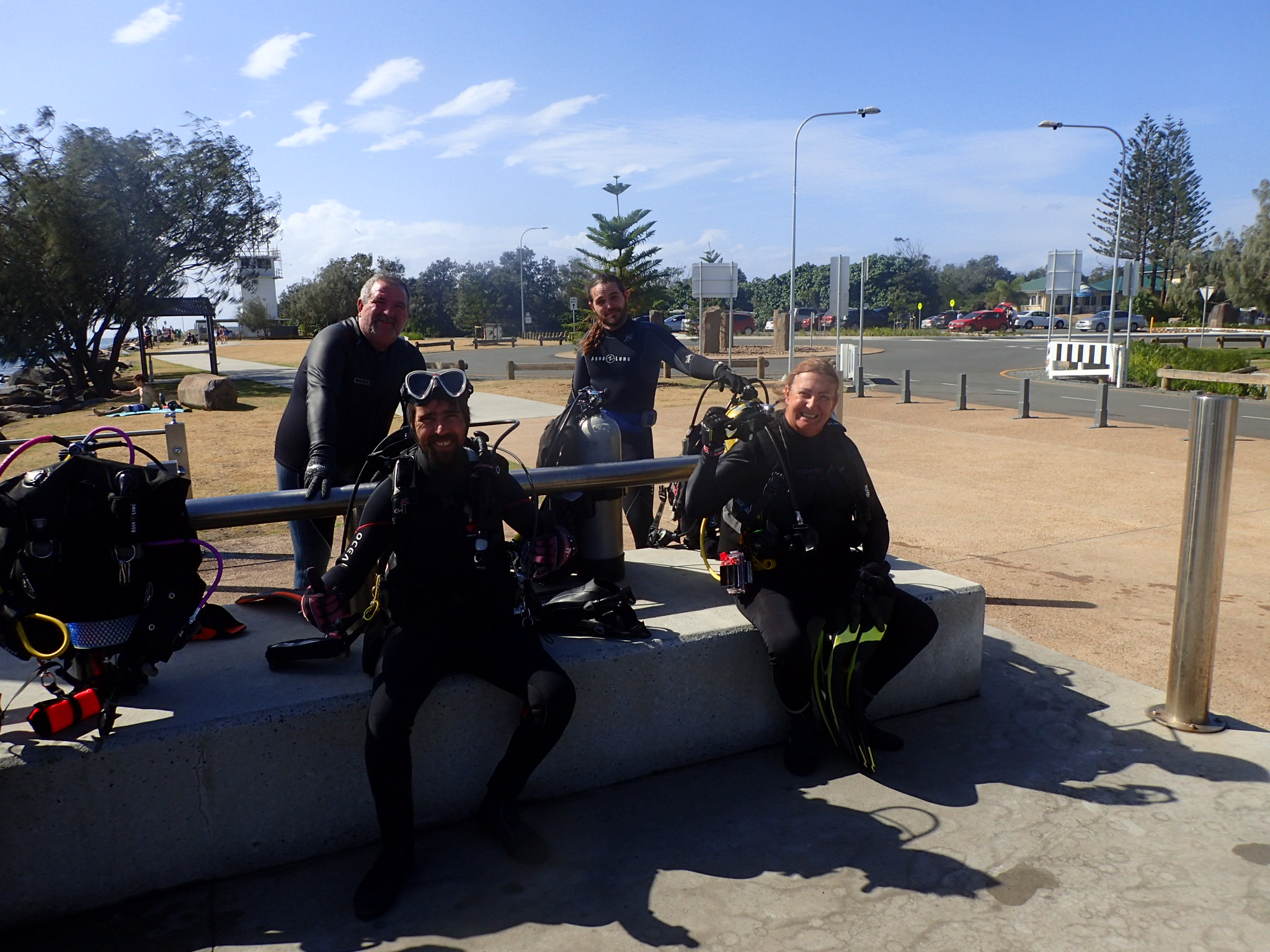
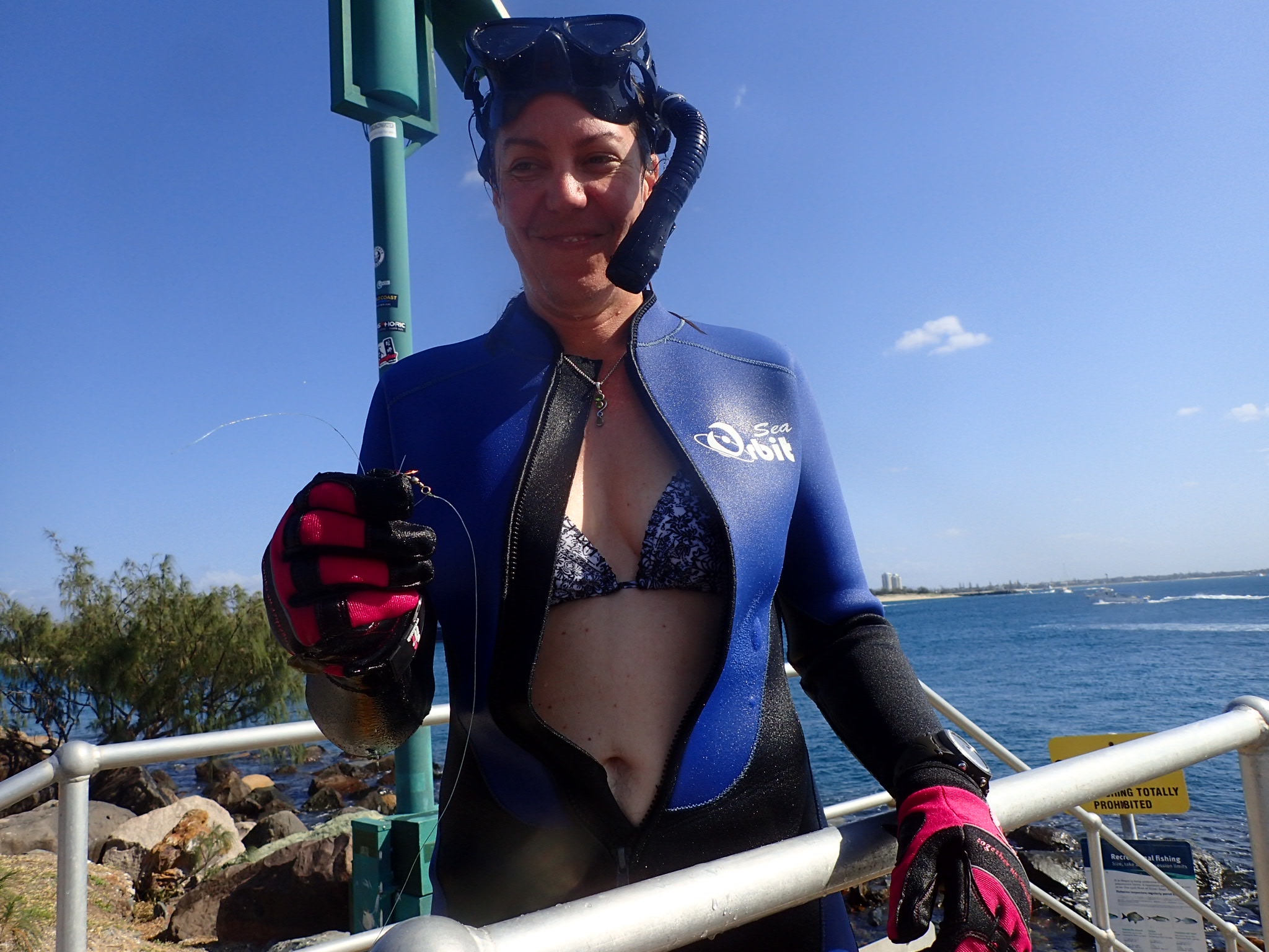
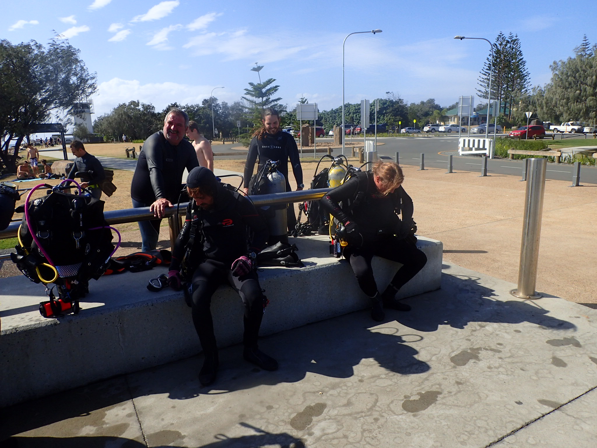
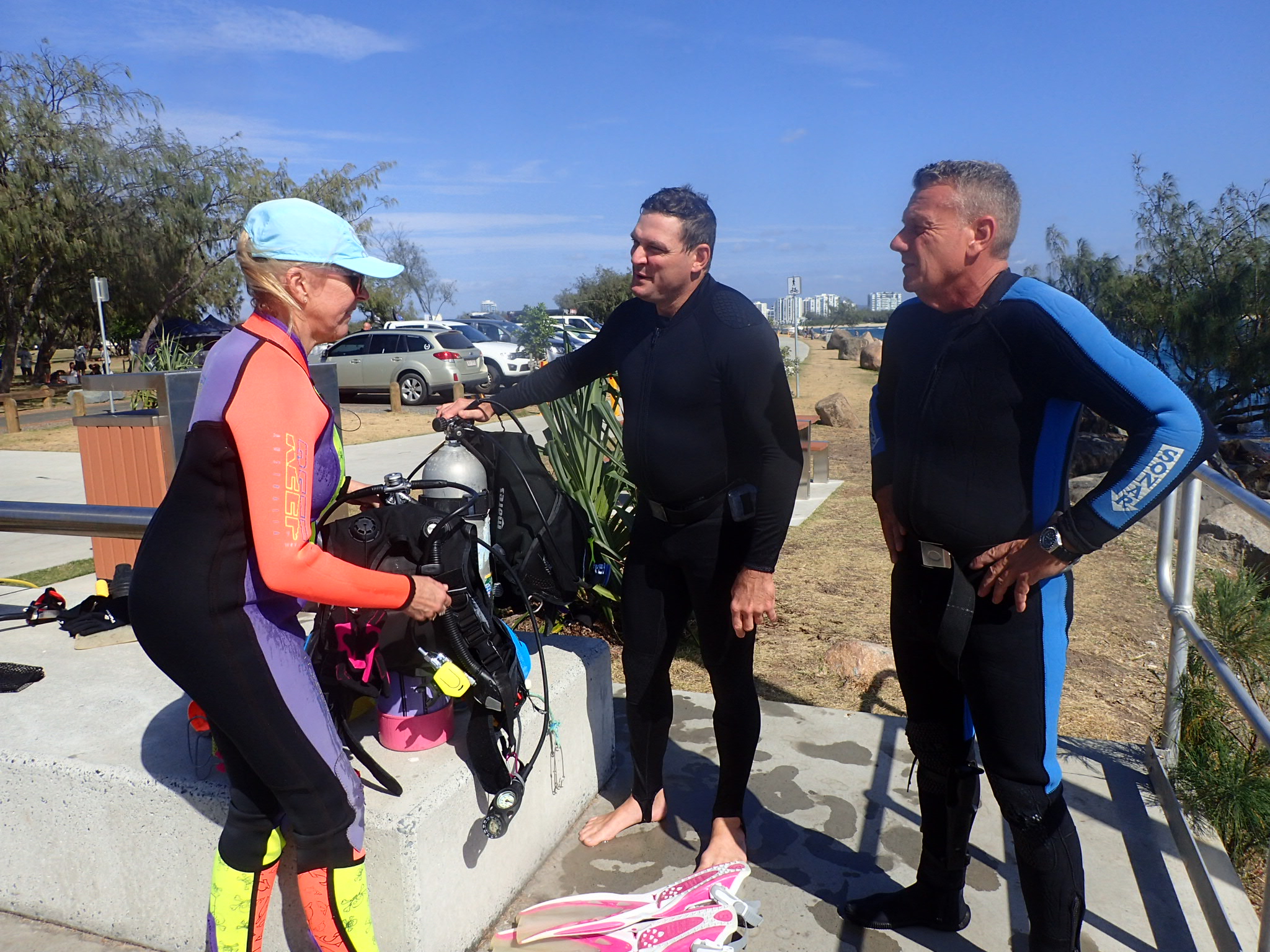
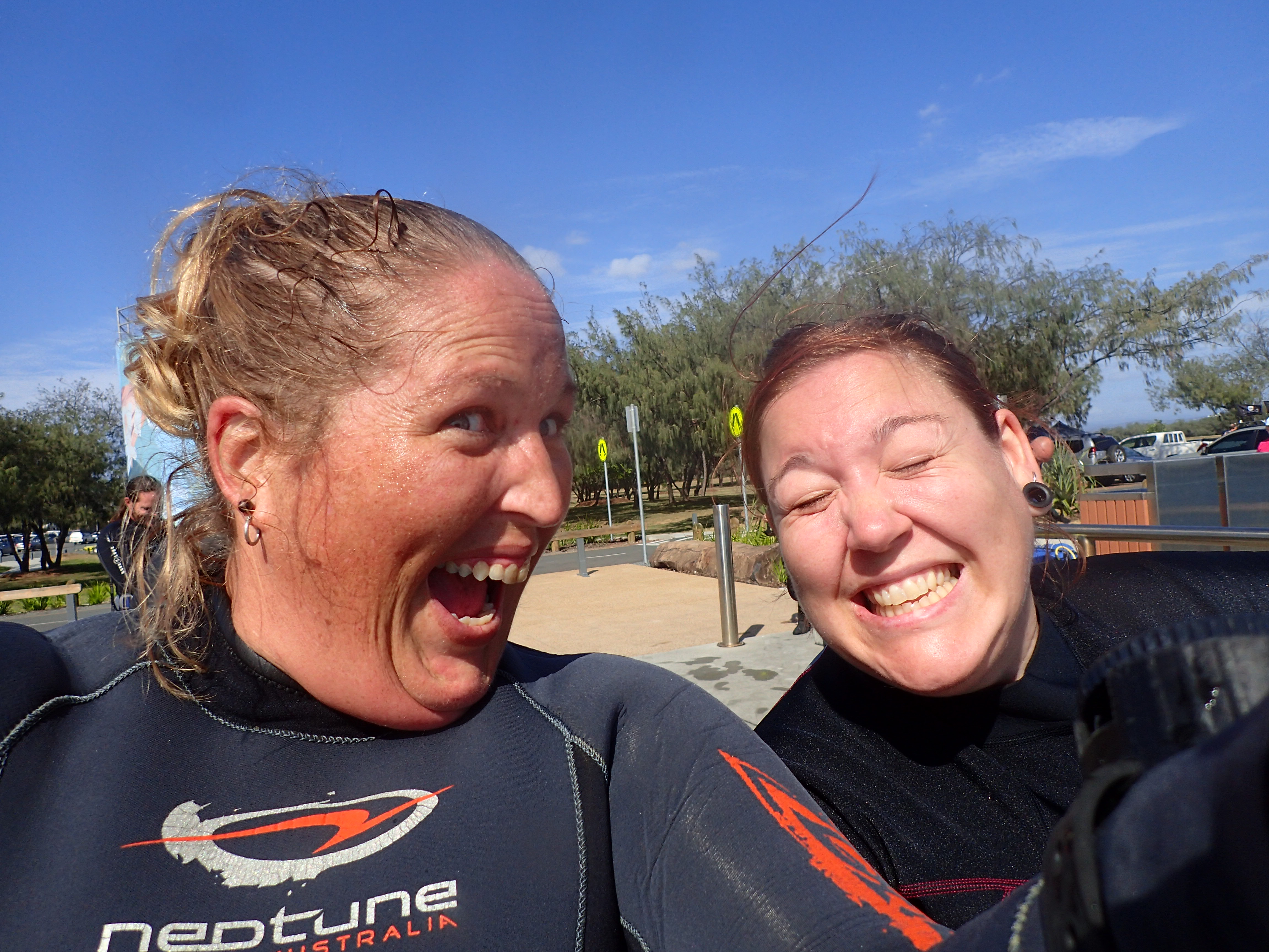
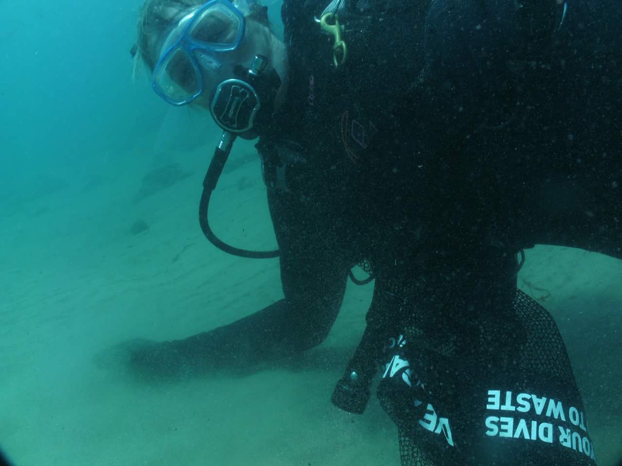
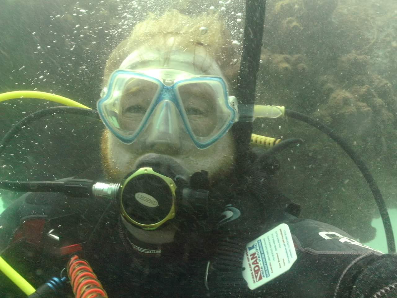
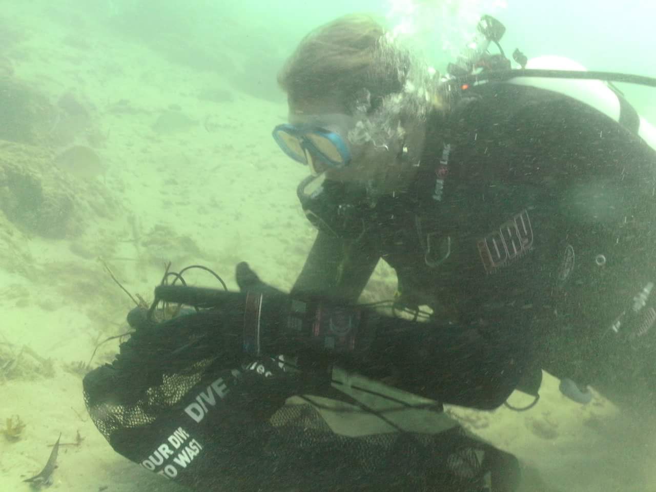
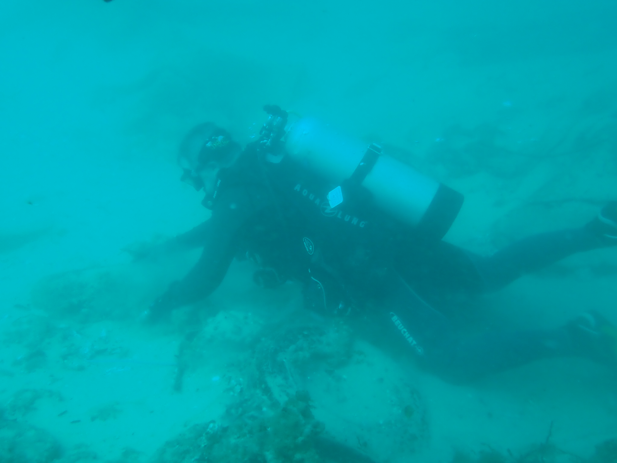
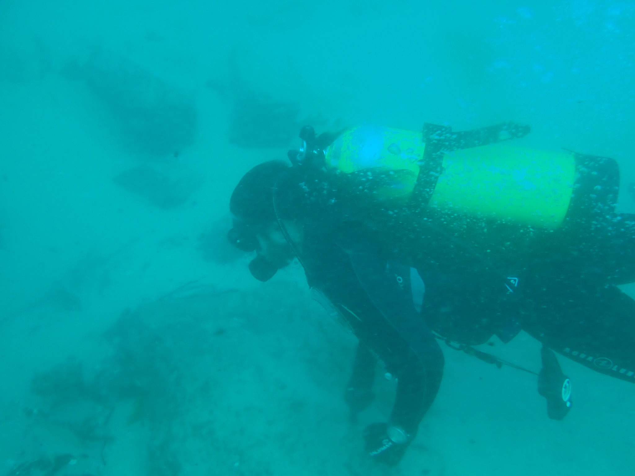
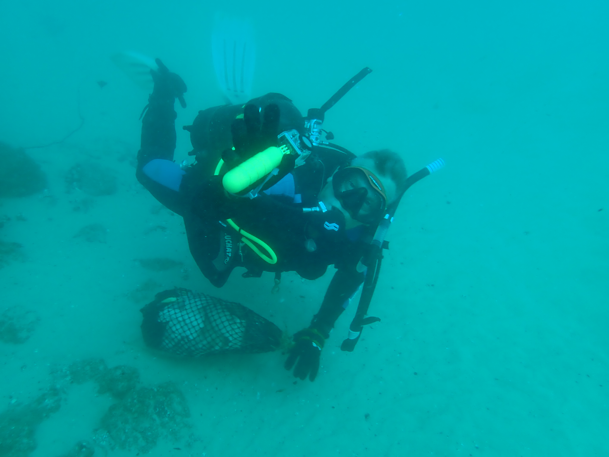
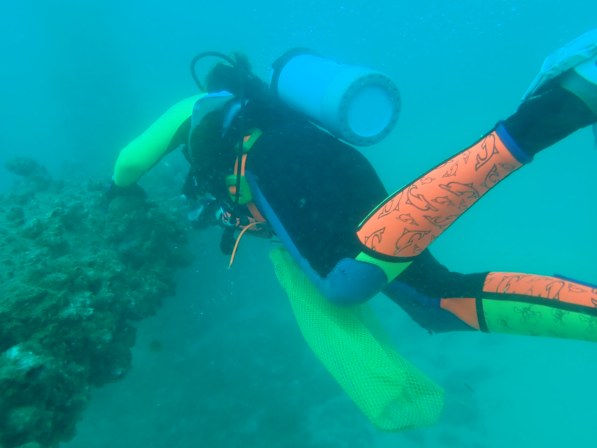
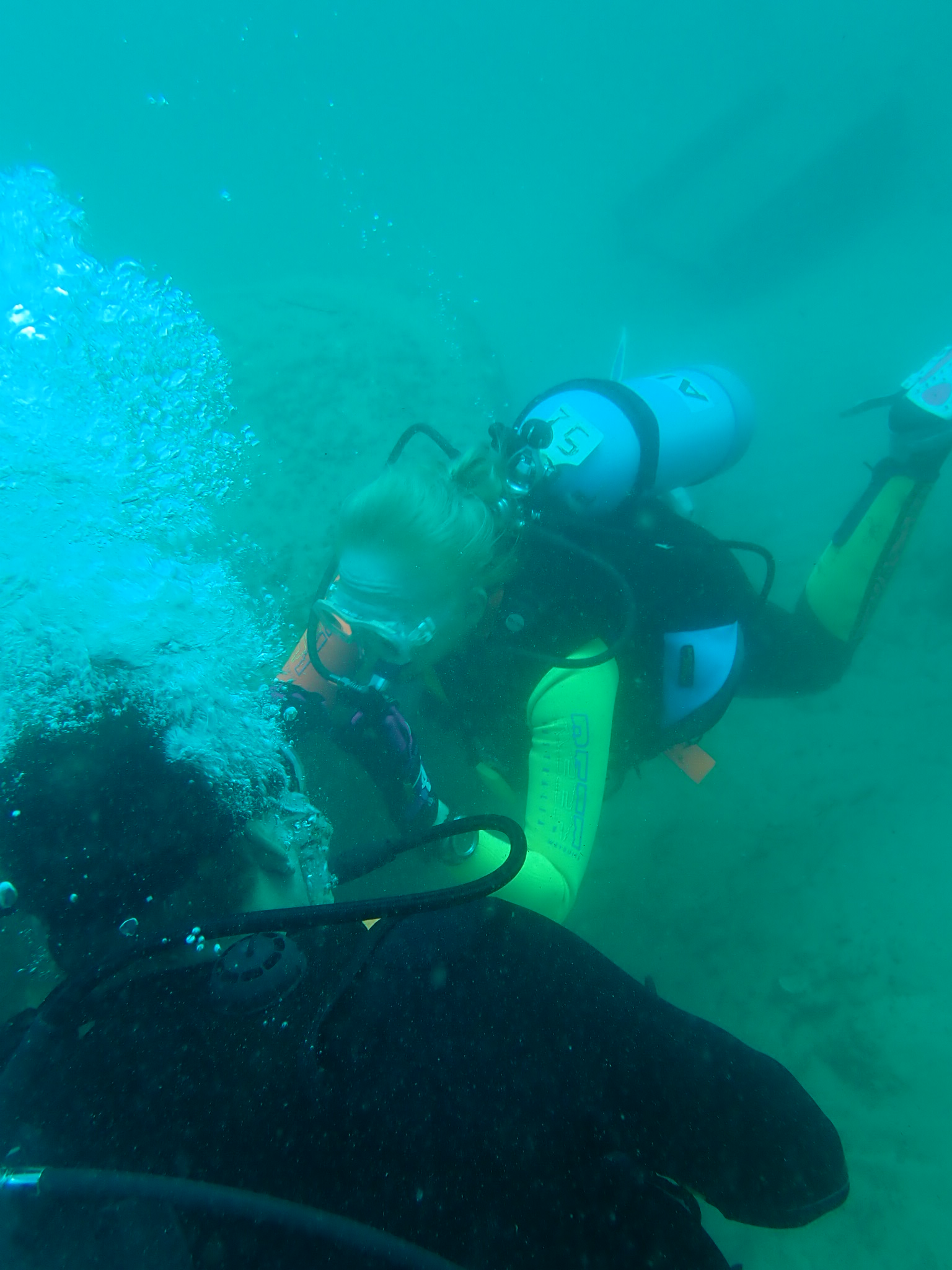
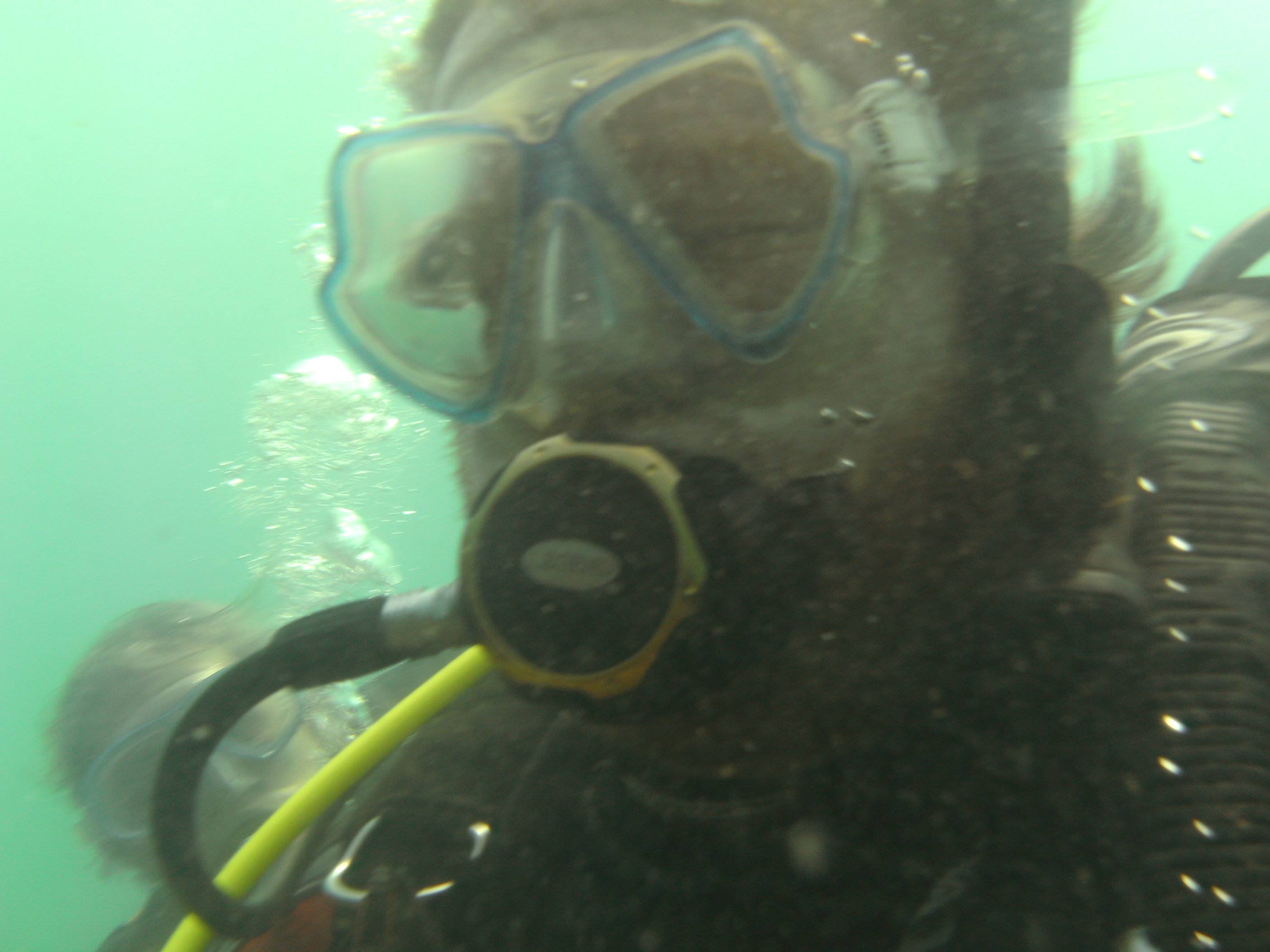
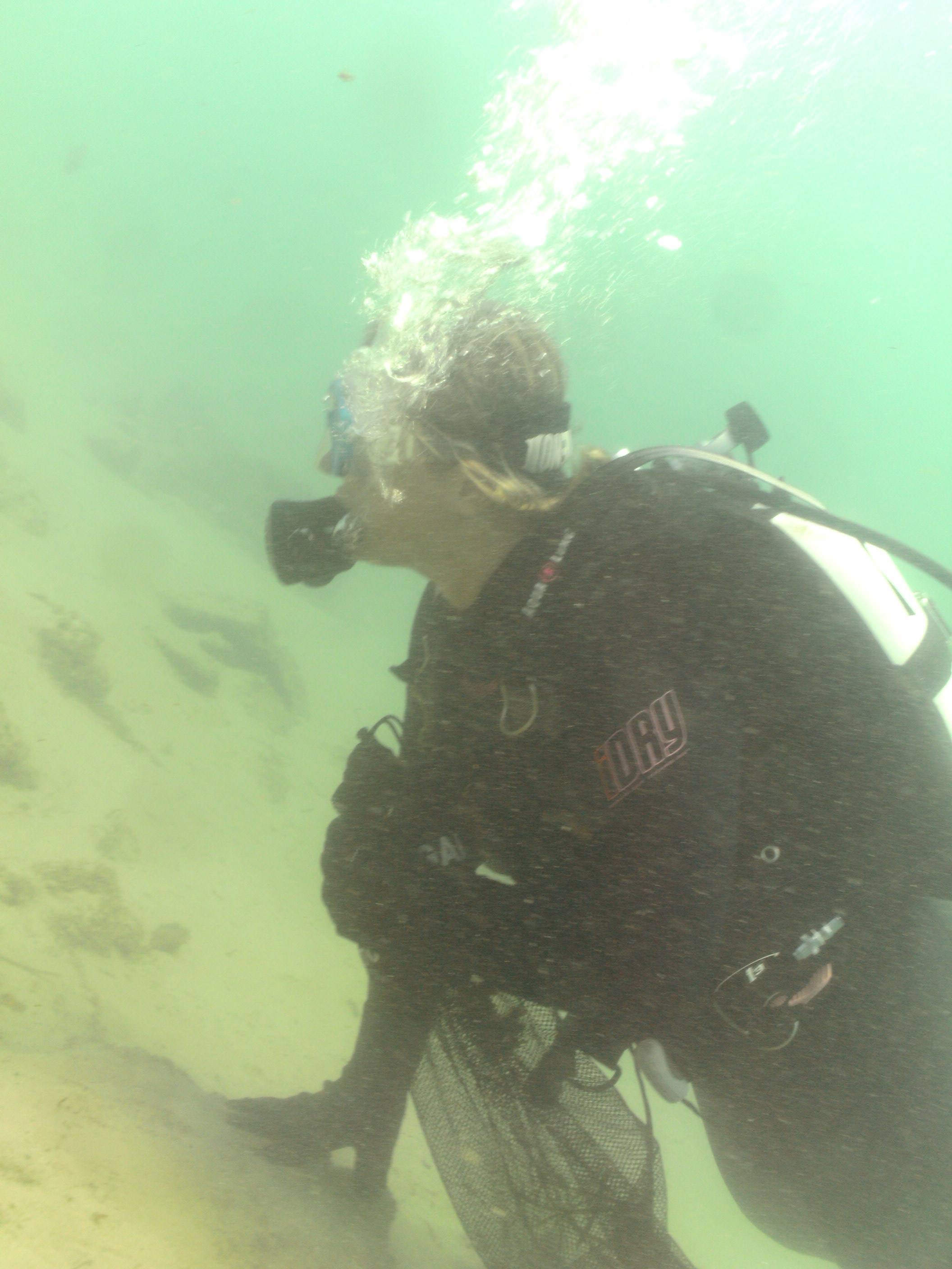
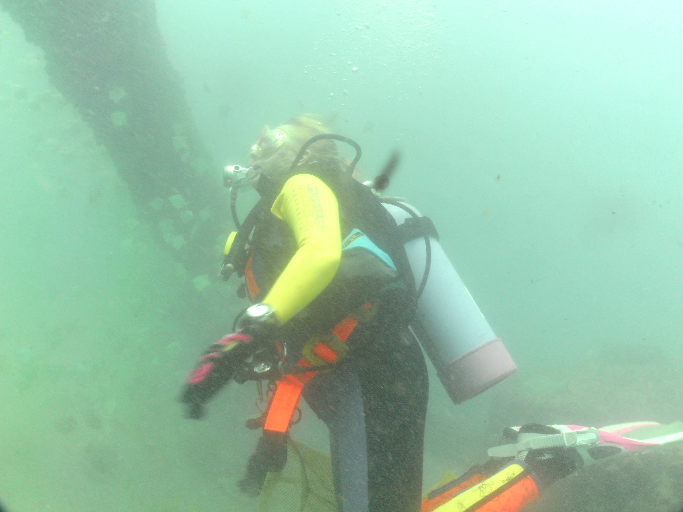
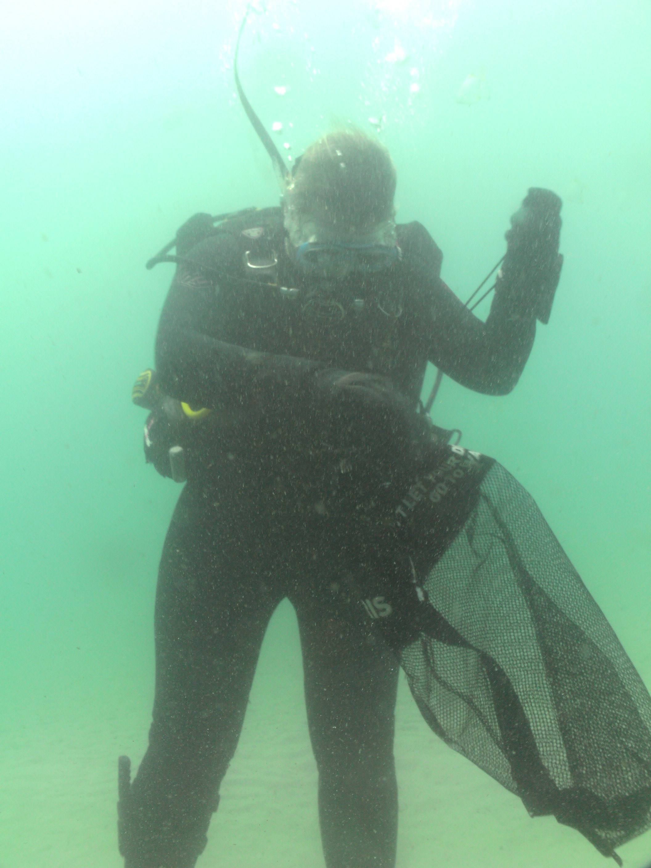
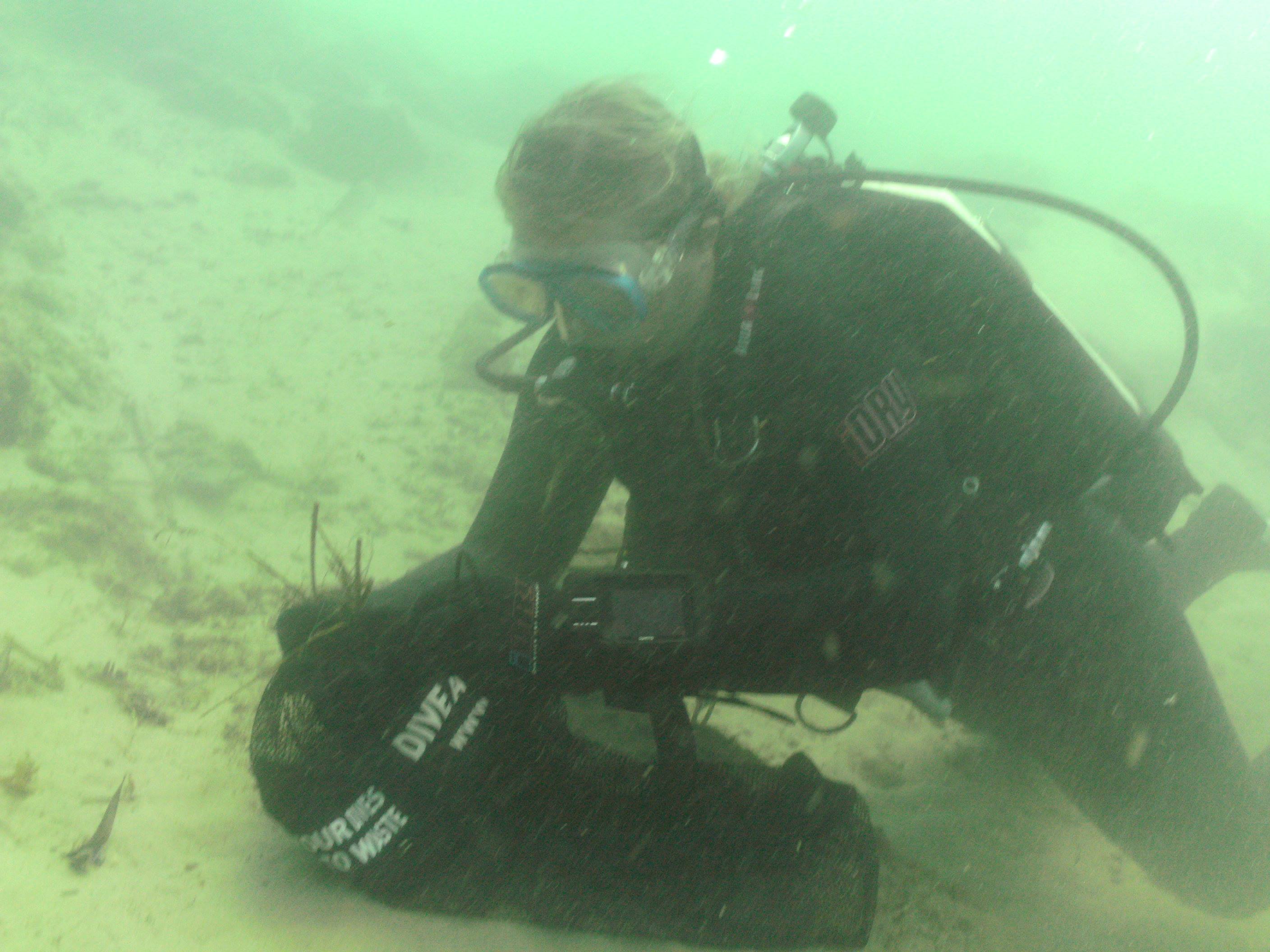
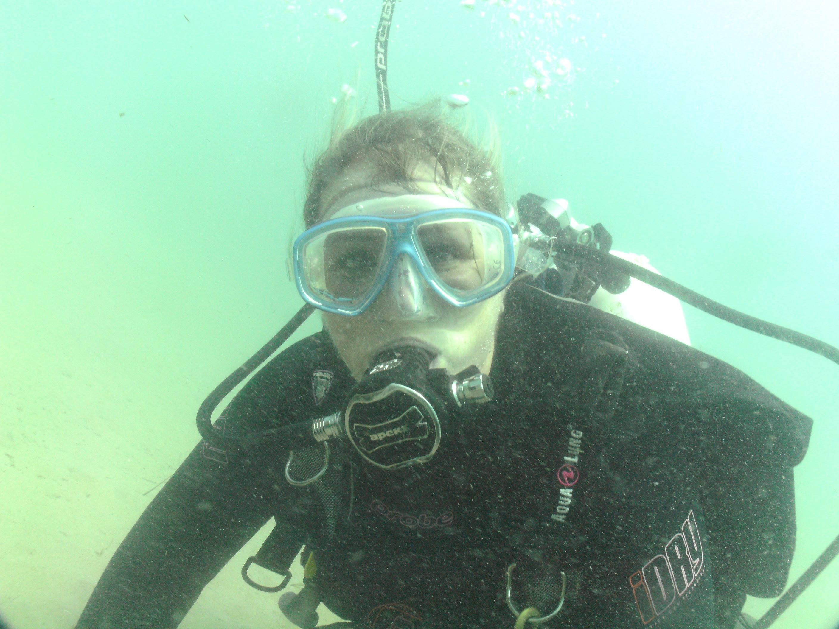
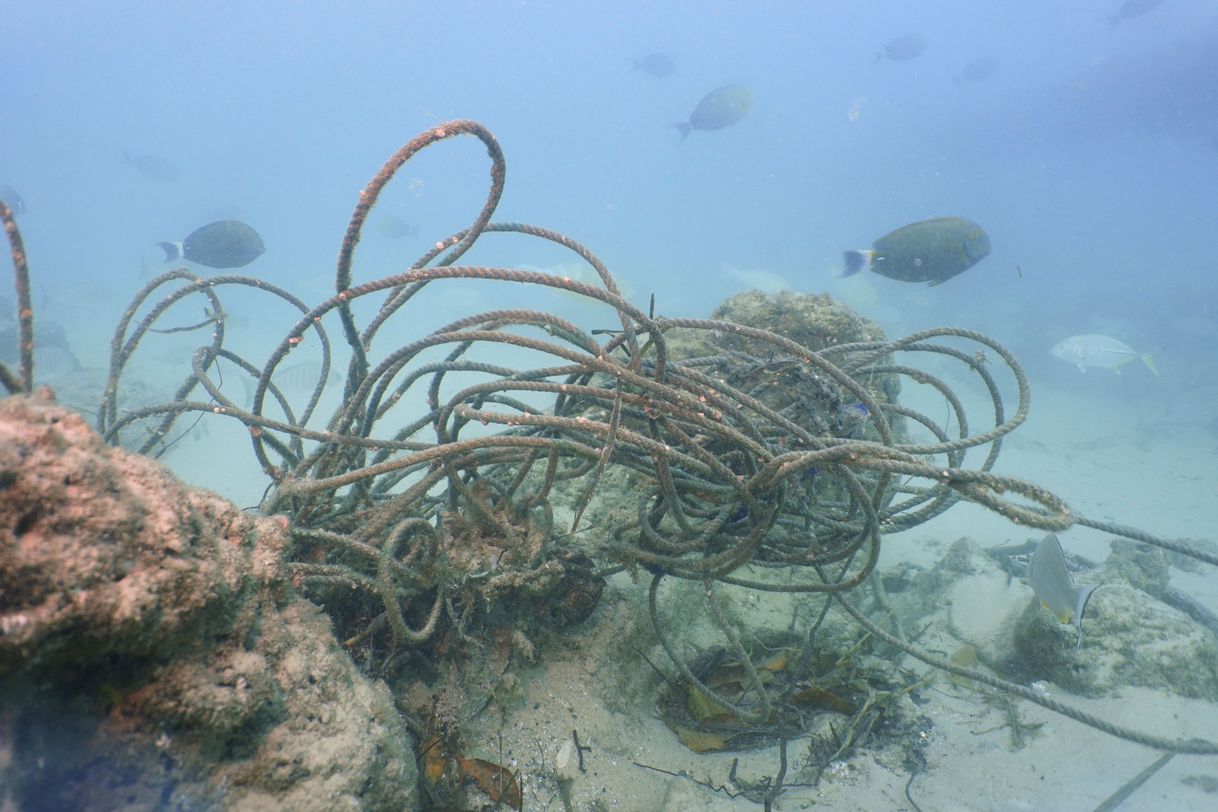
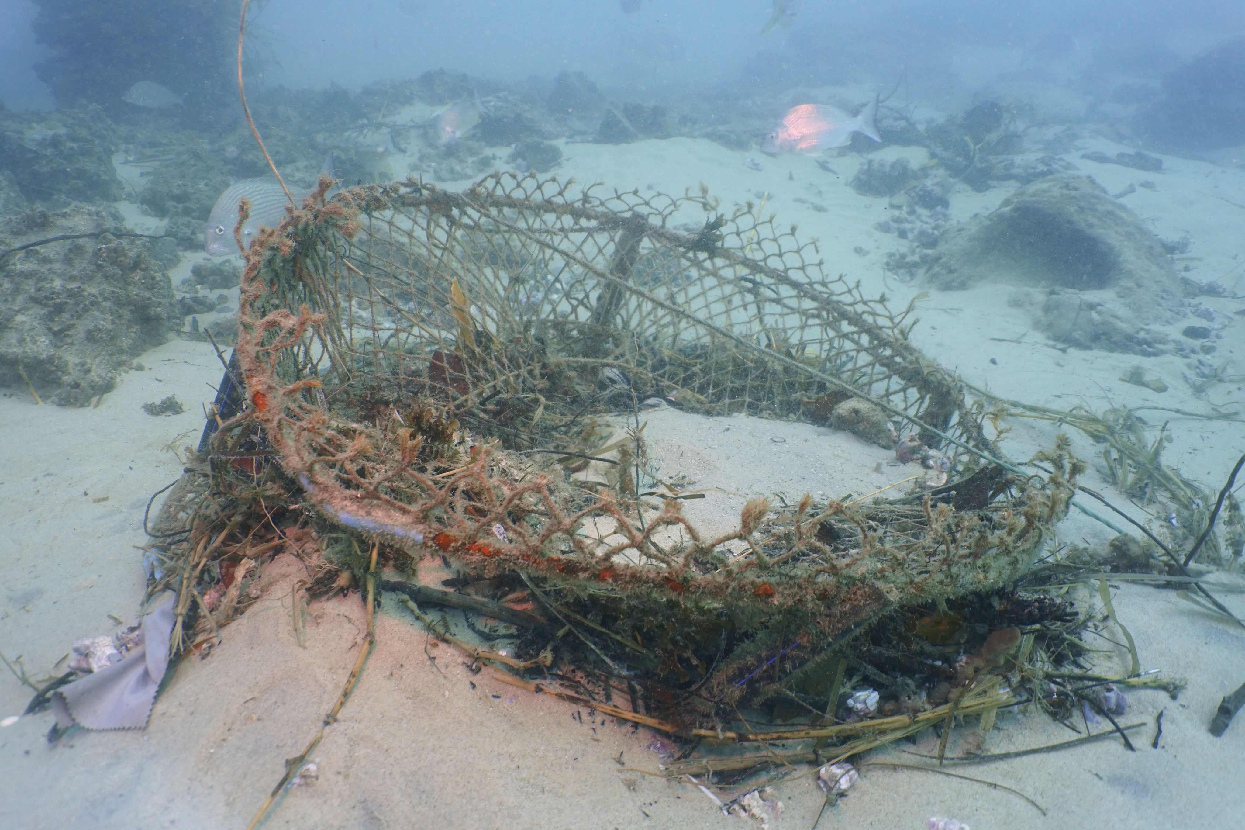
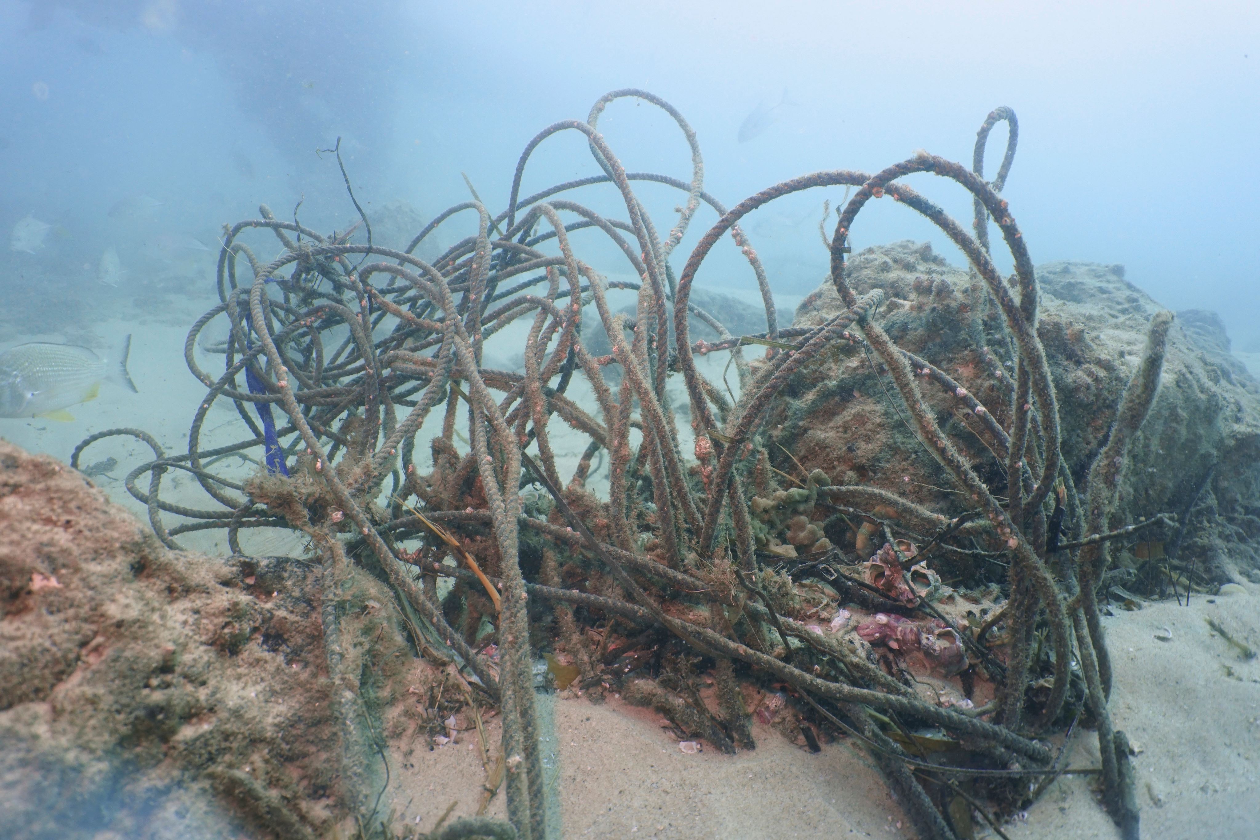
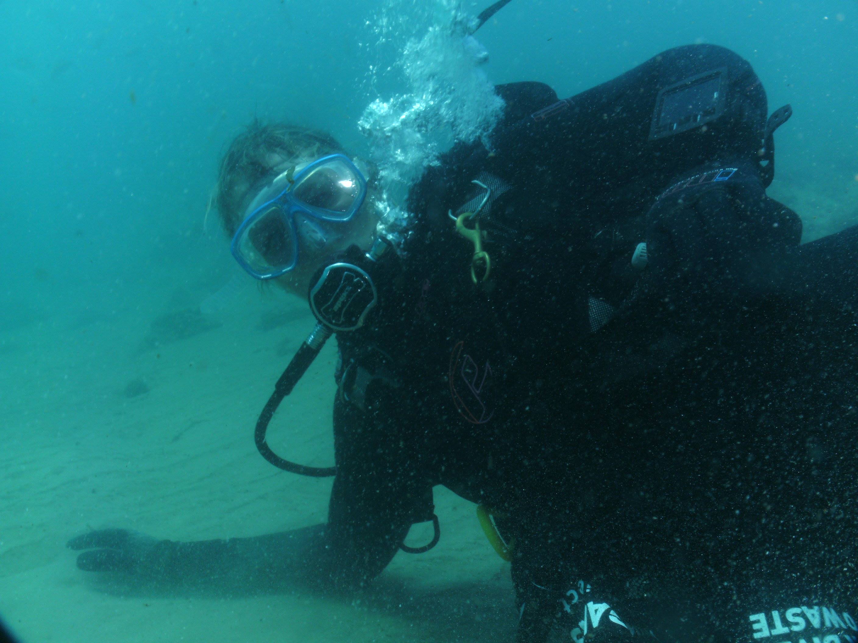
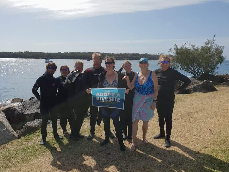
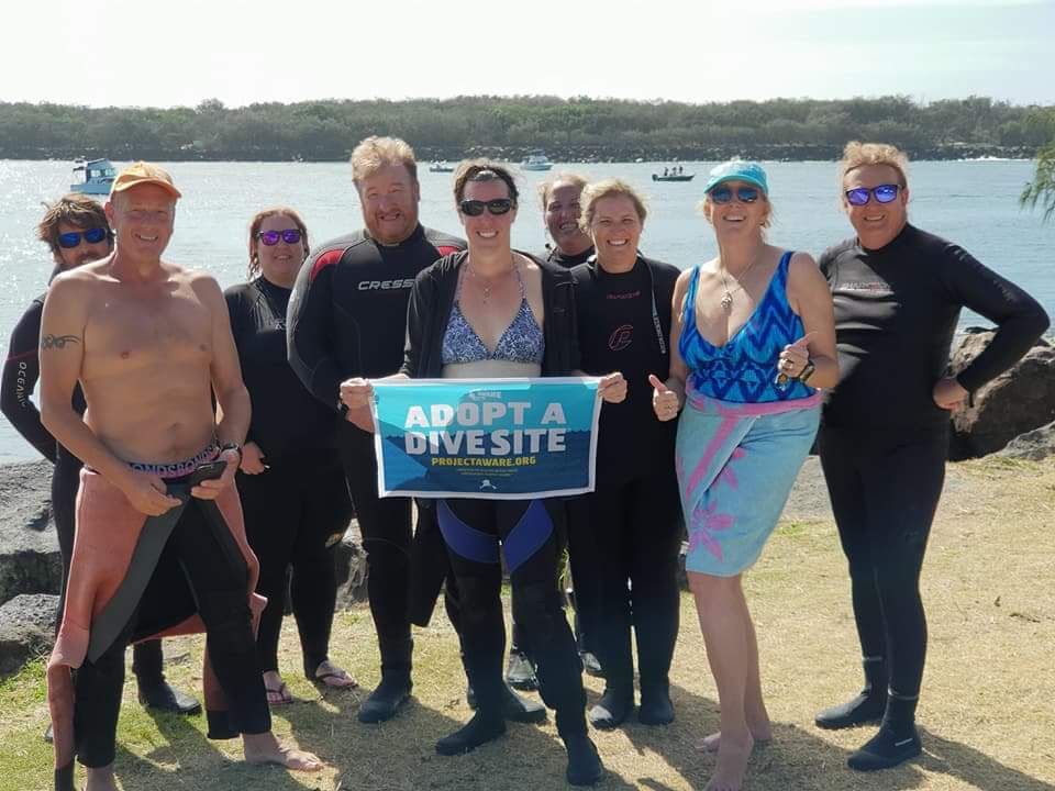
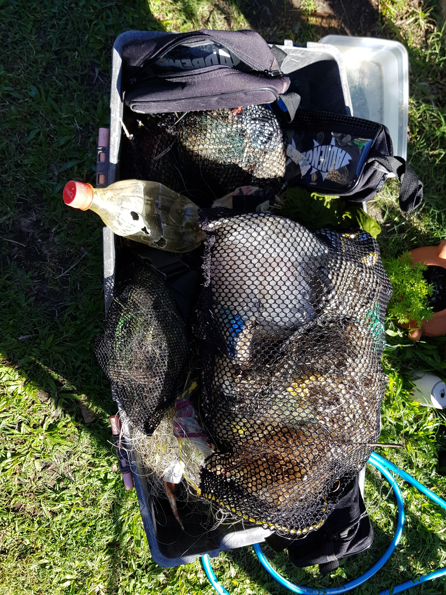
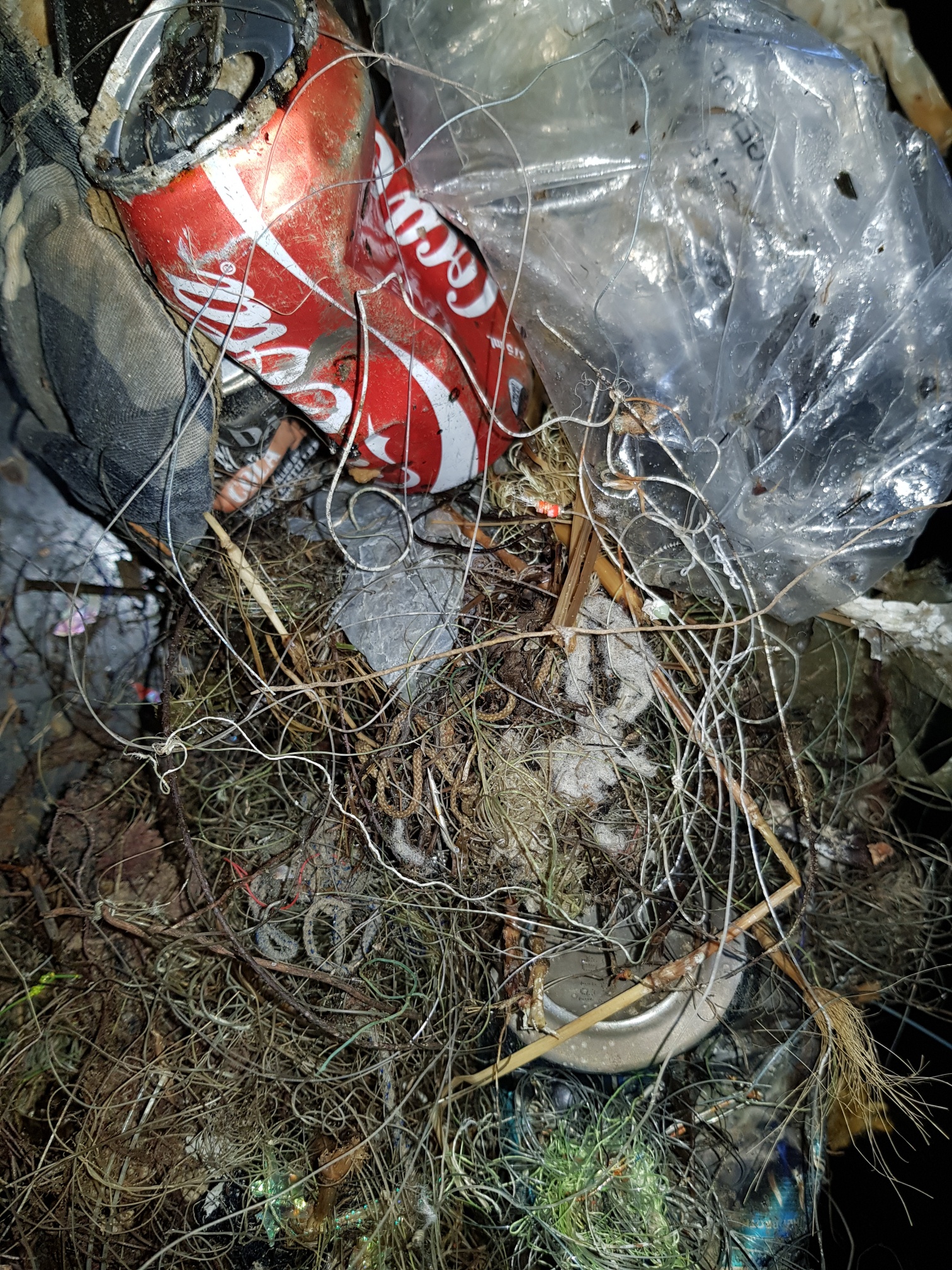
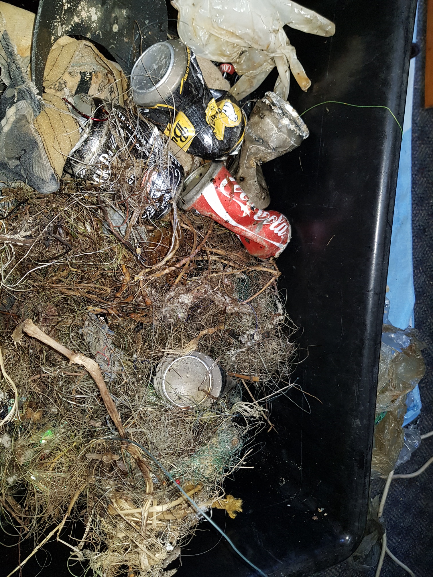
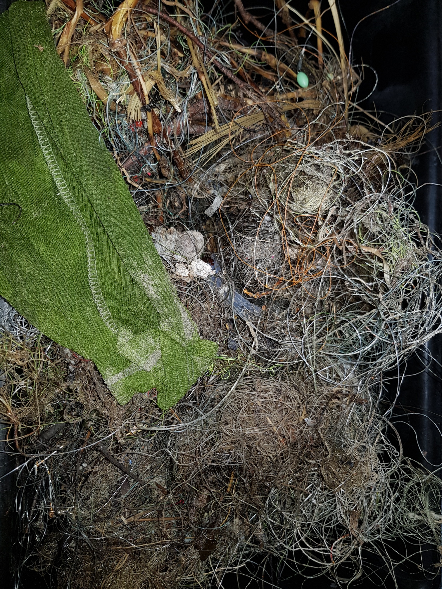
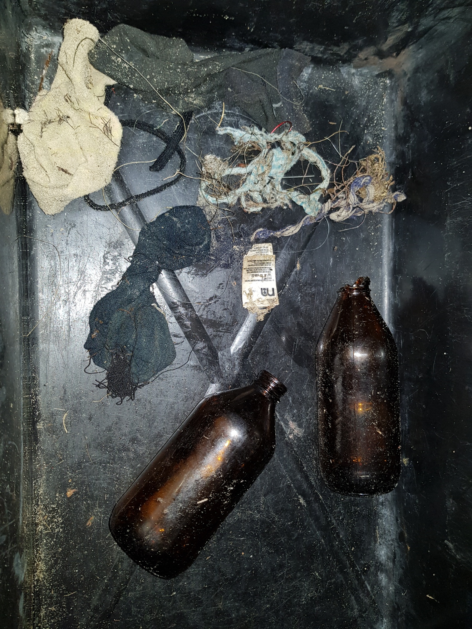
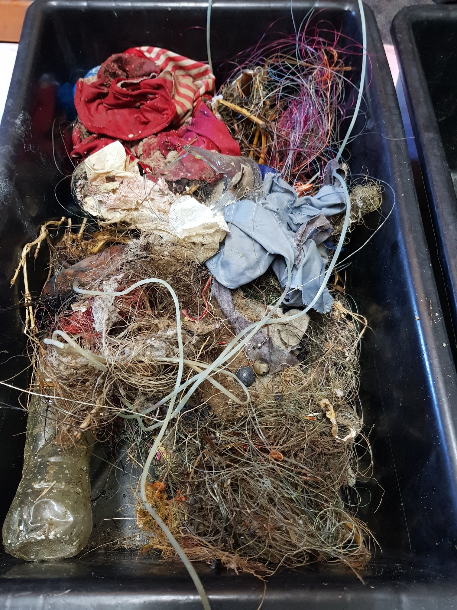
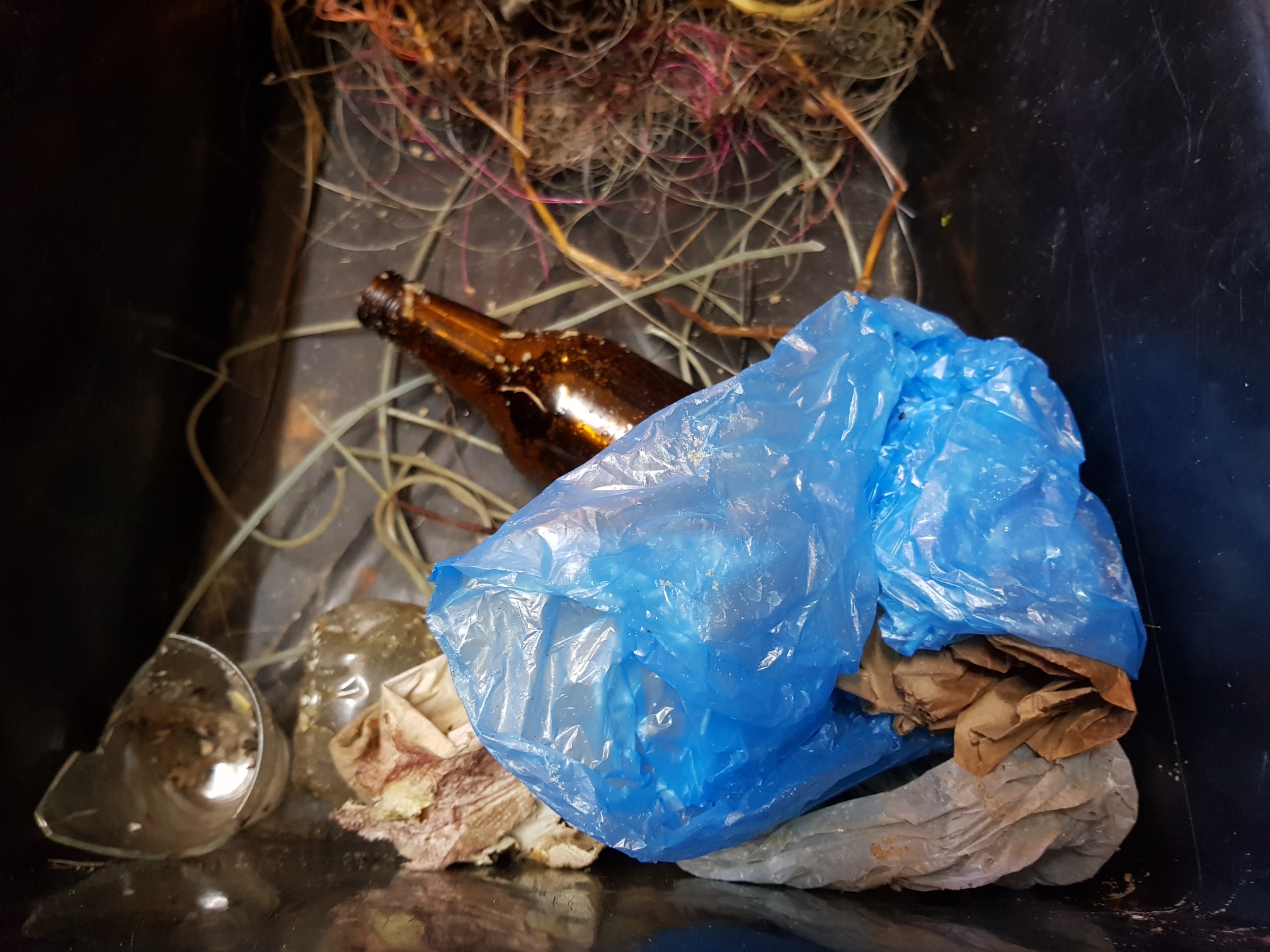
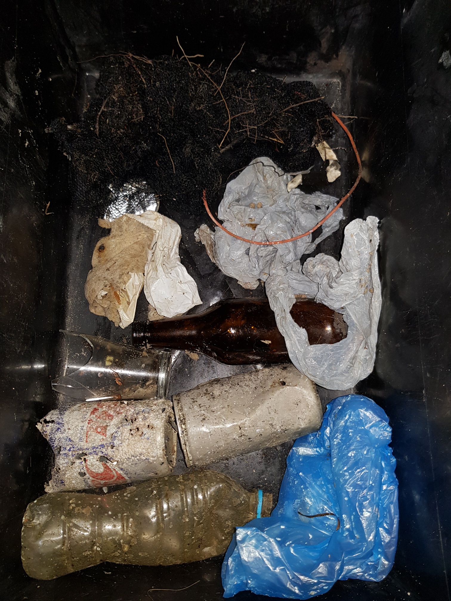
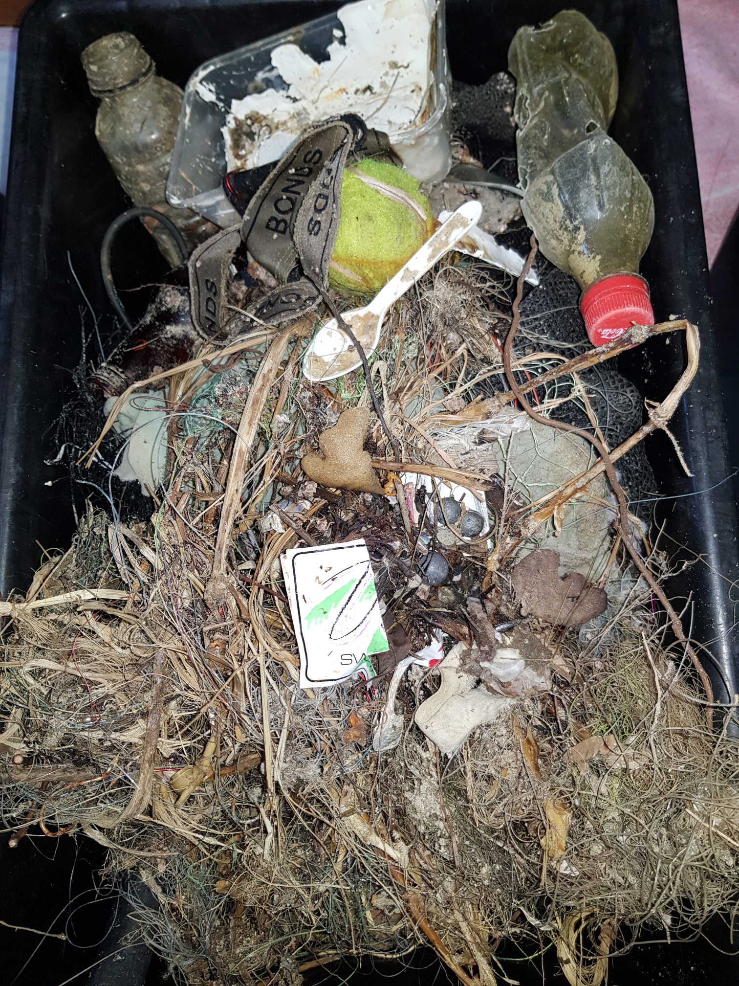
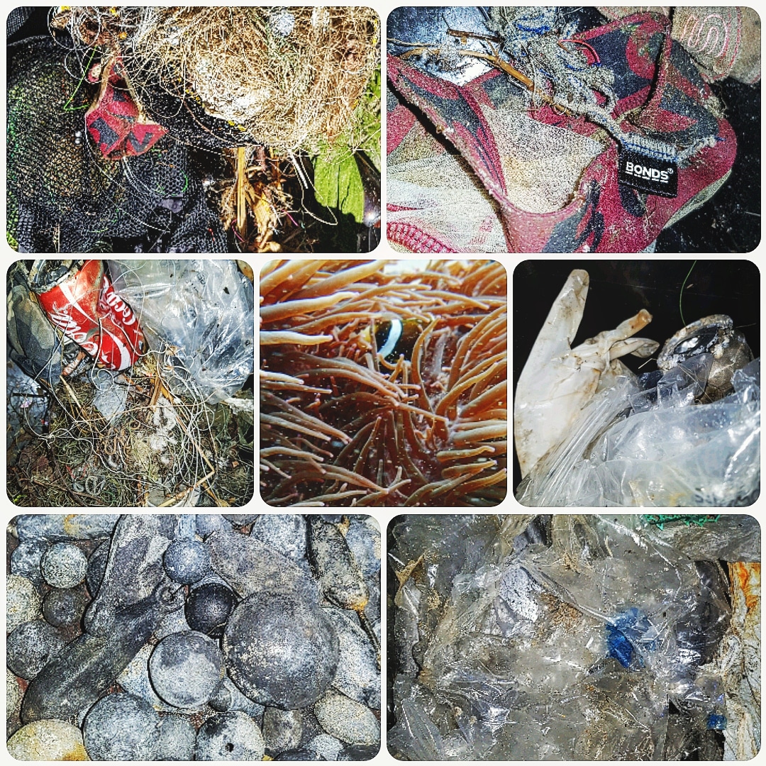
Many thanks to all of those amazing divers who joined us for a spectacular day beneath the surface taking out the trash, we look forward to seeing you all again soon for another good old trash splash looking after the local.
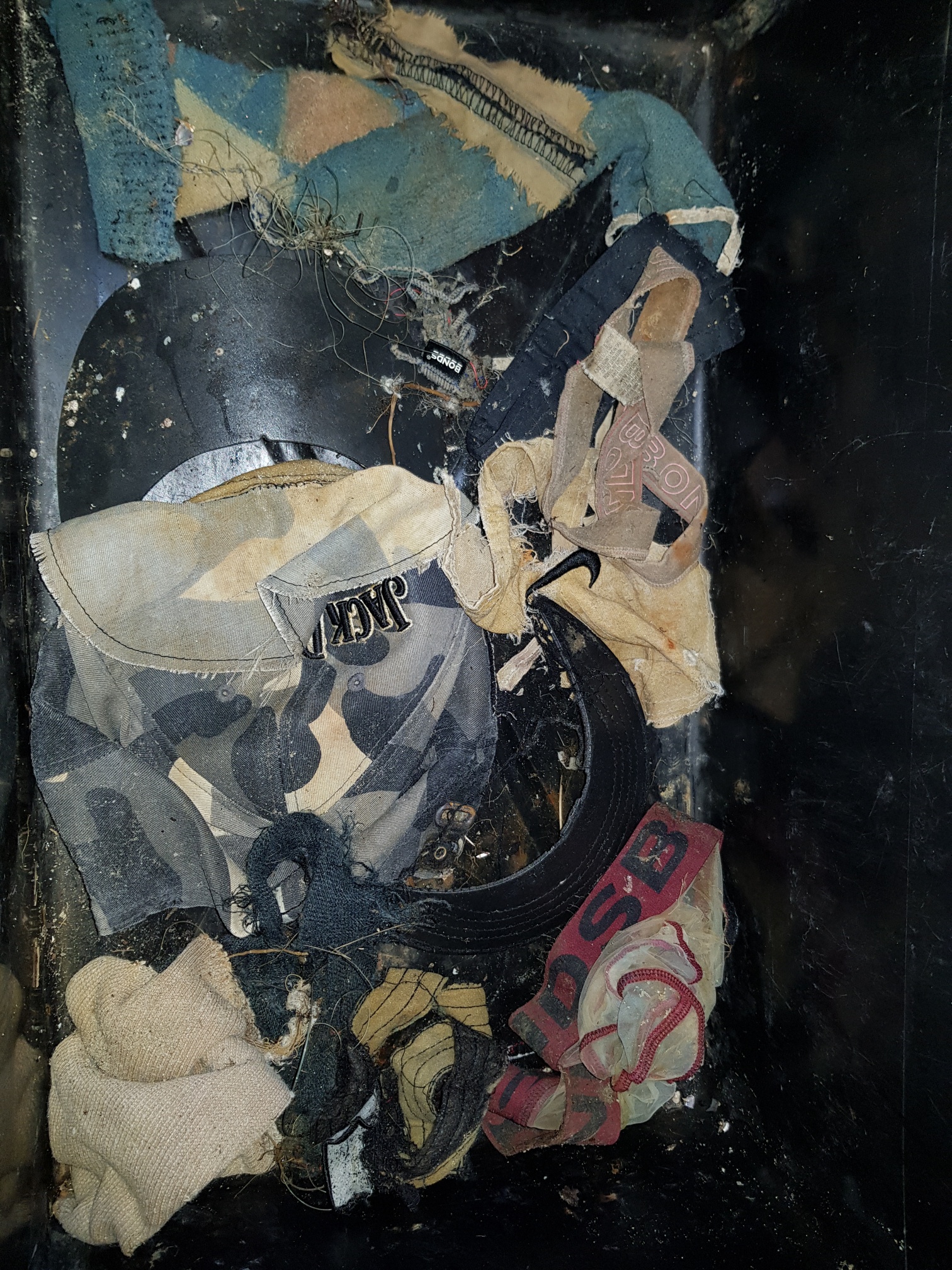
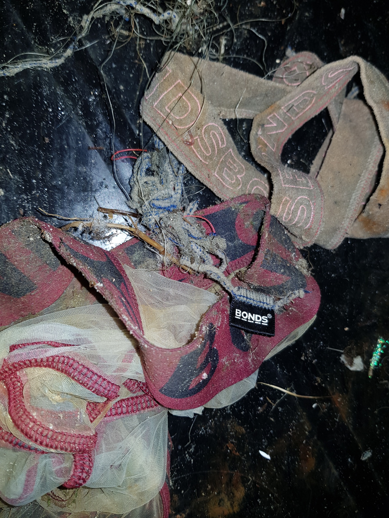
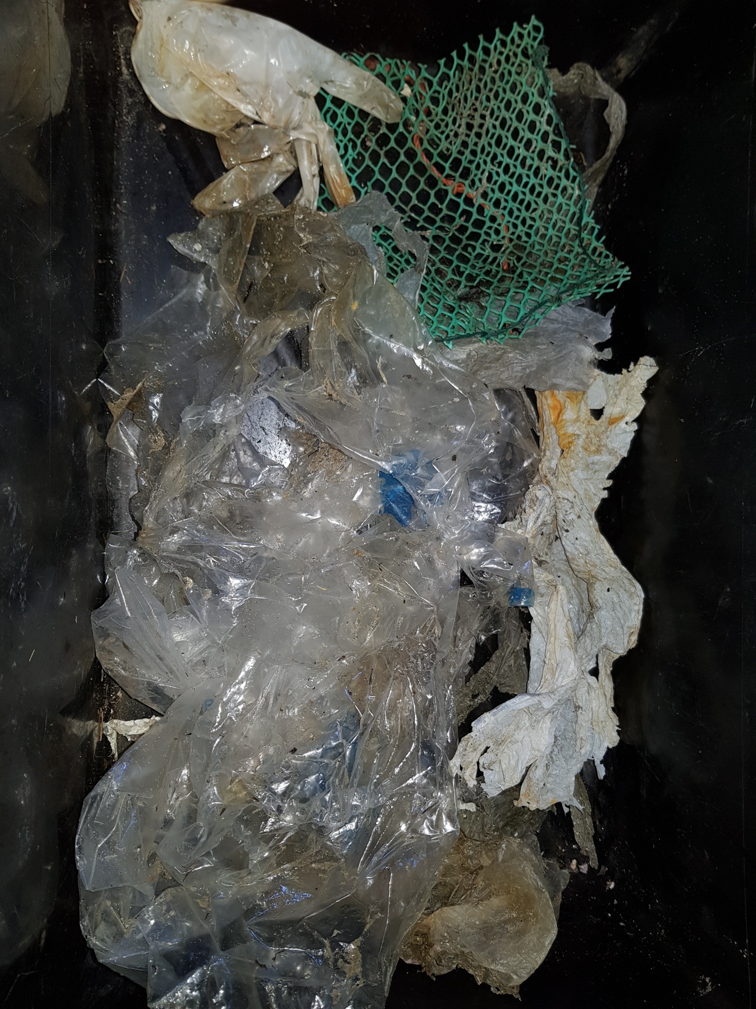
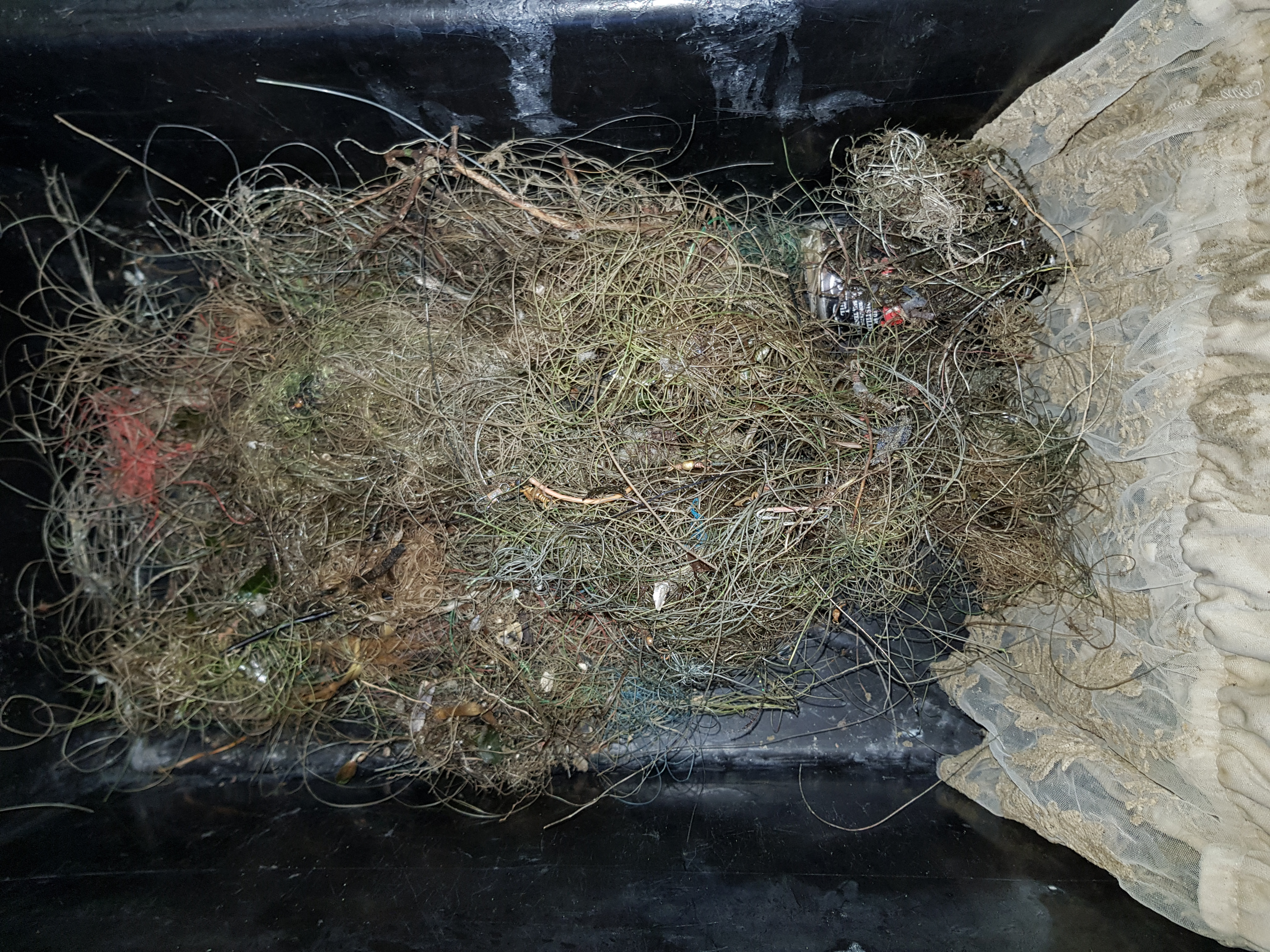
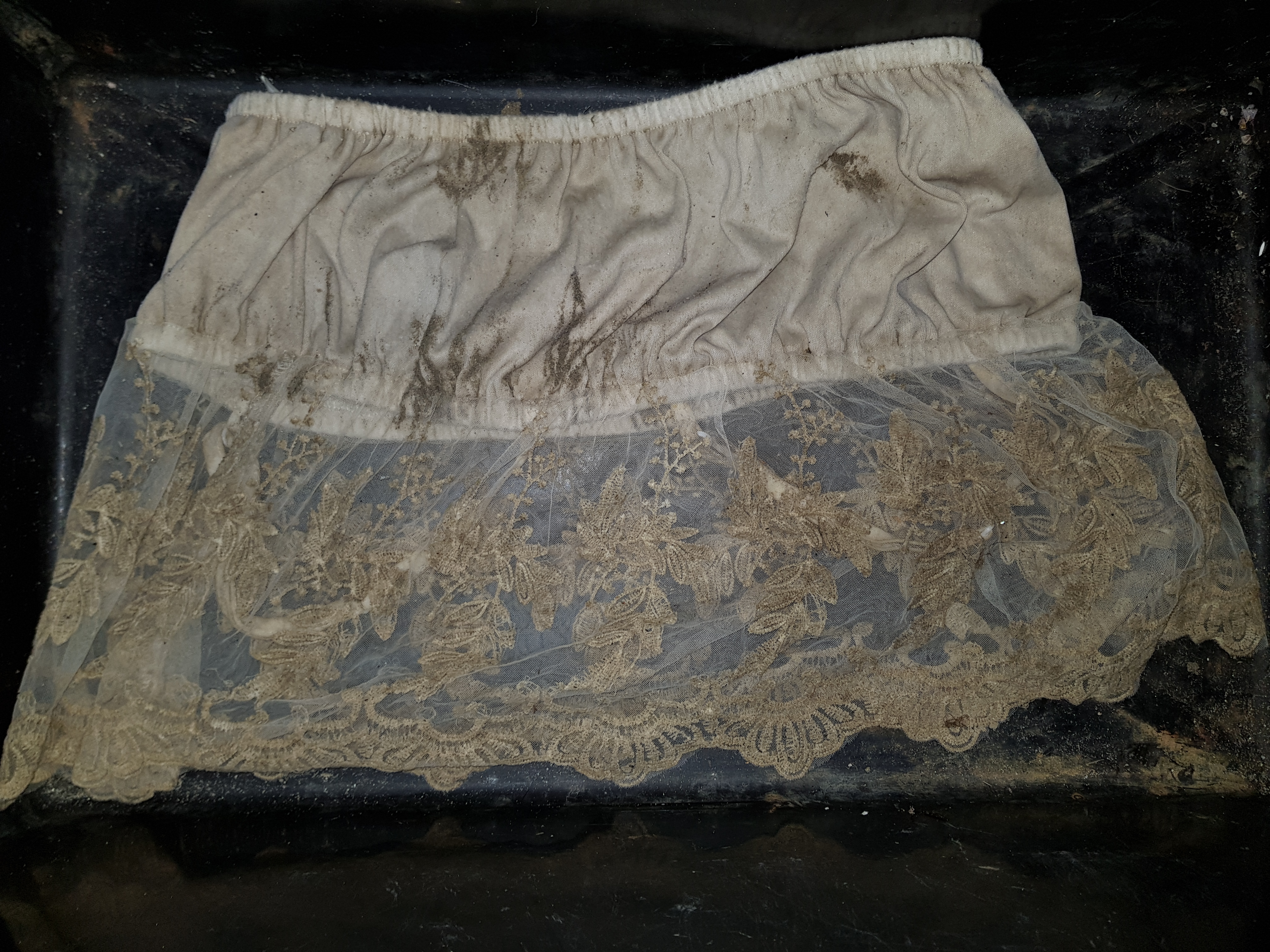
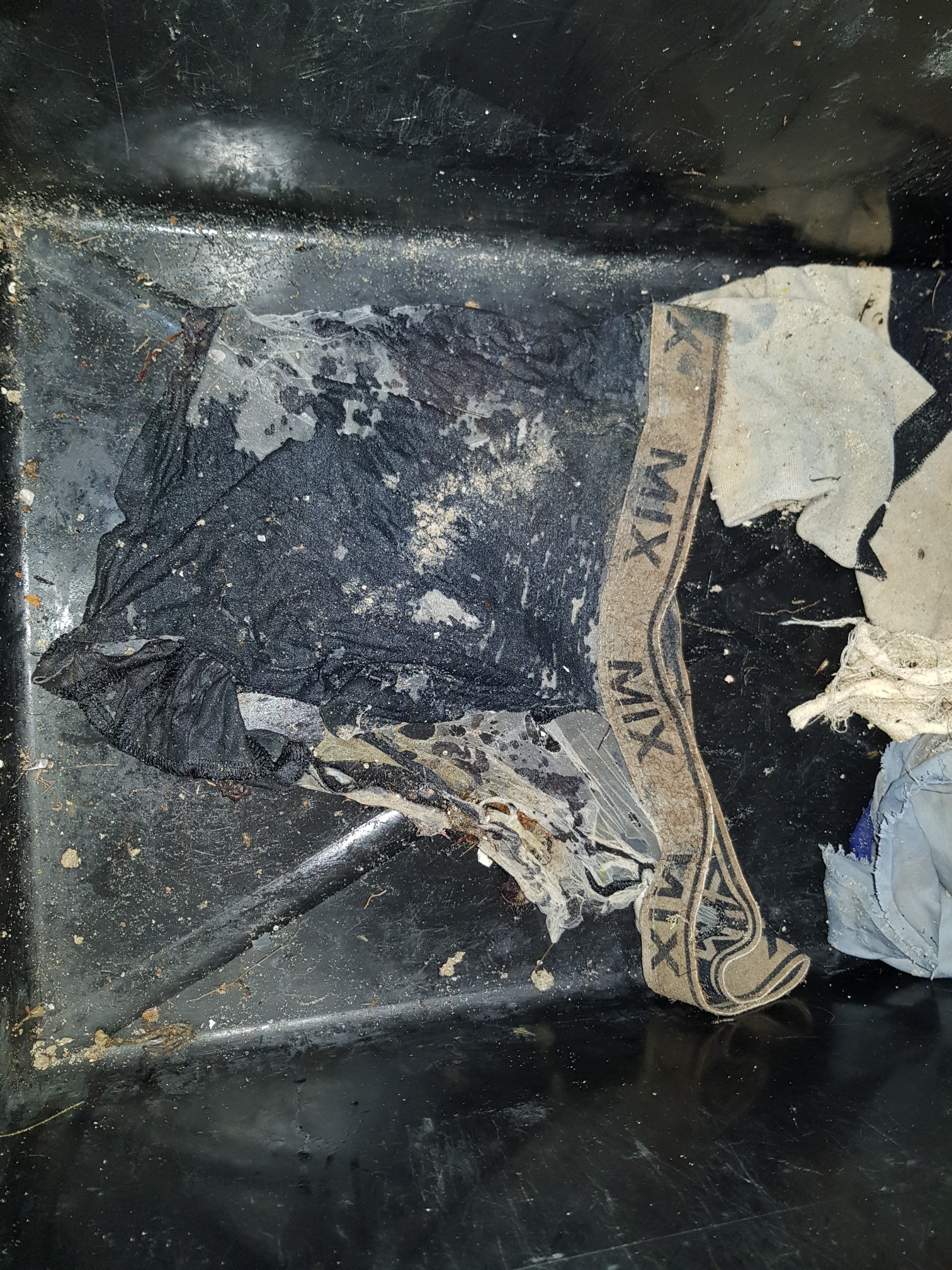
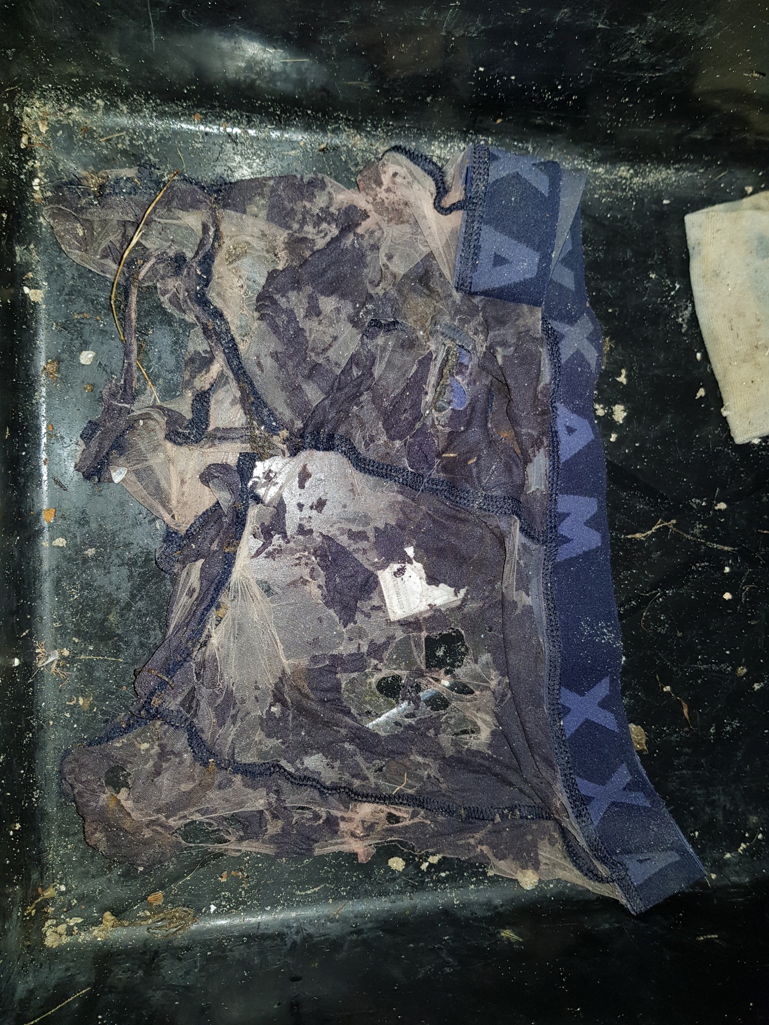
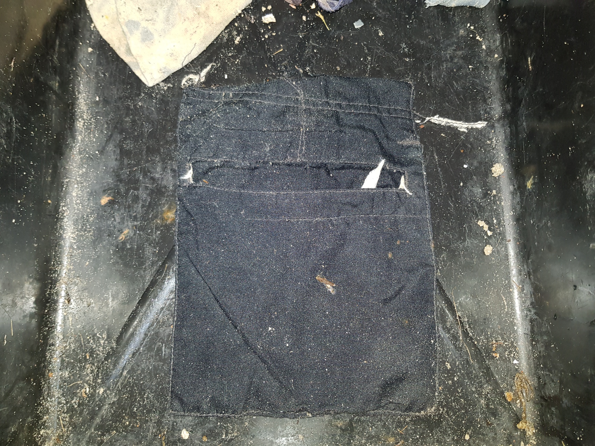
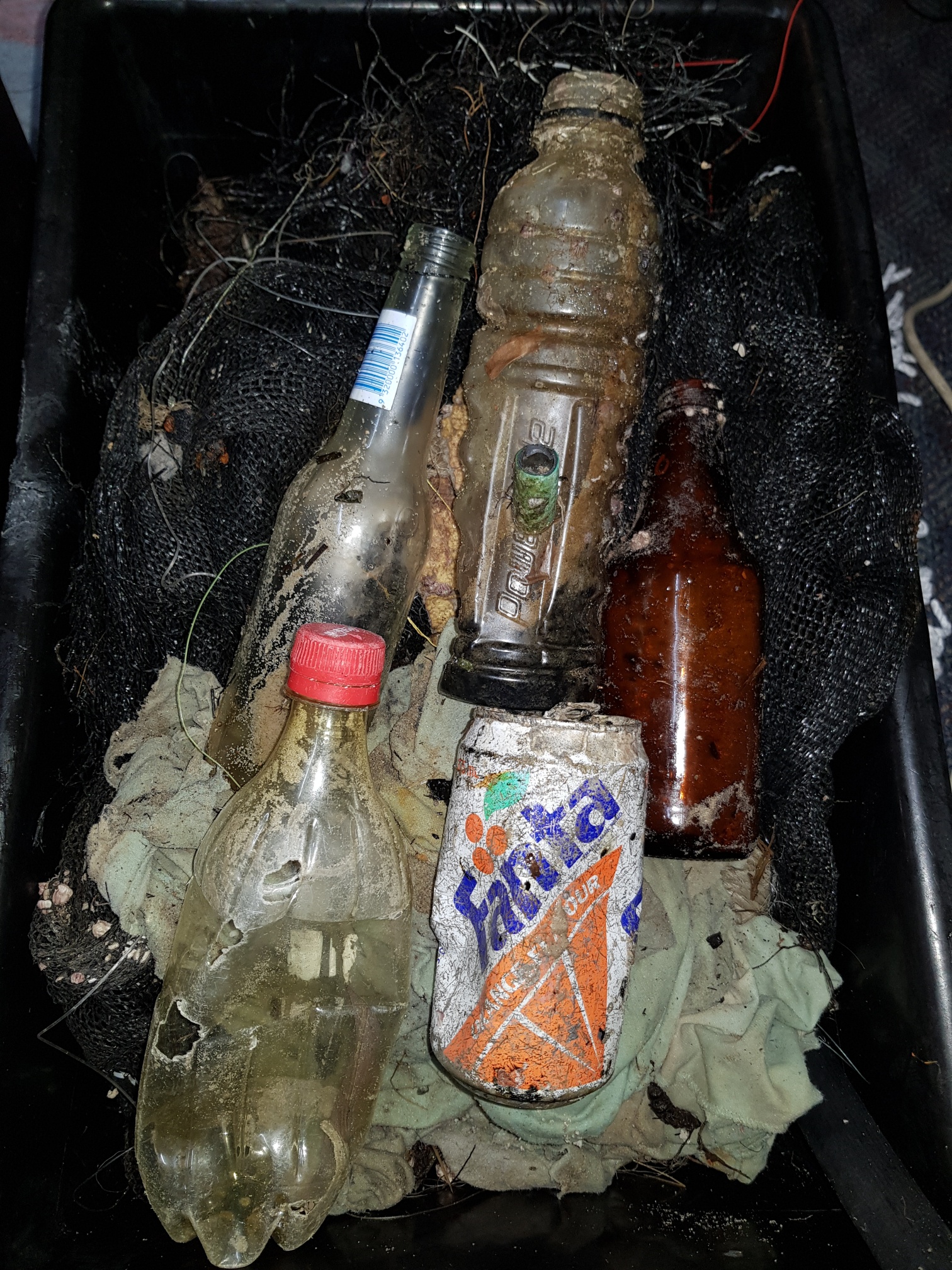
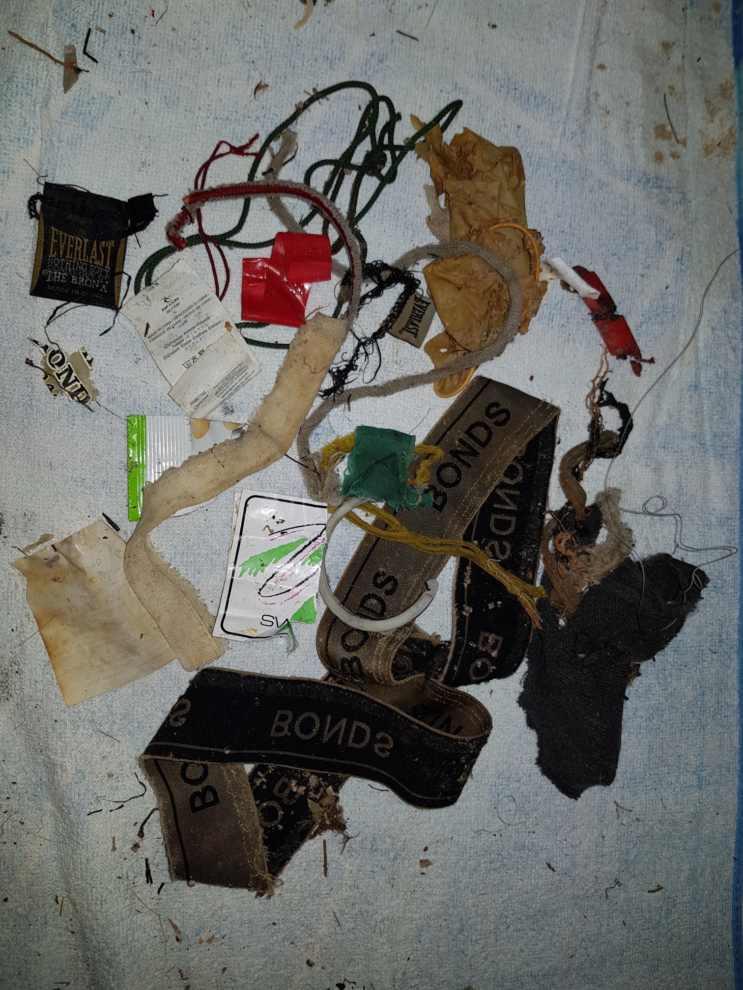
A petticoat and a ridiculously high amount of underwear and socks.
Fair
1
1
1
1
Bong
Pocket
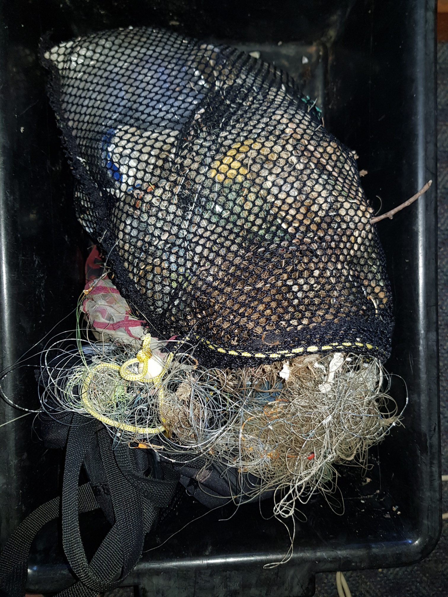
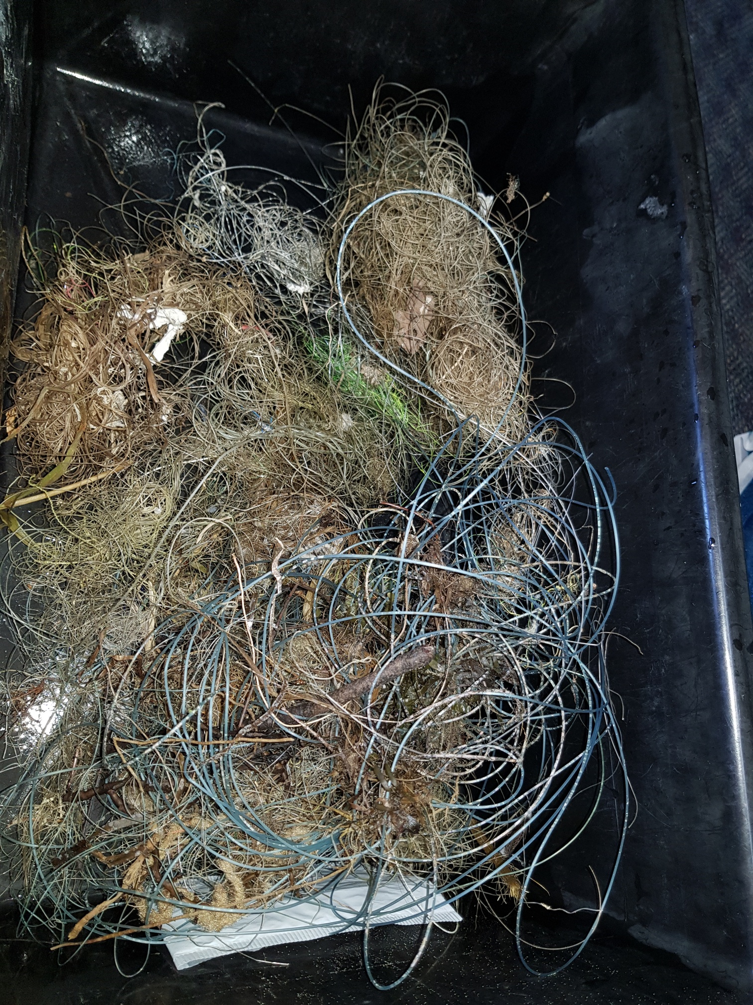
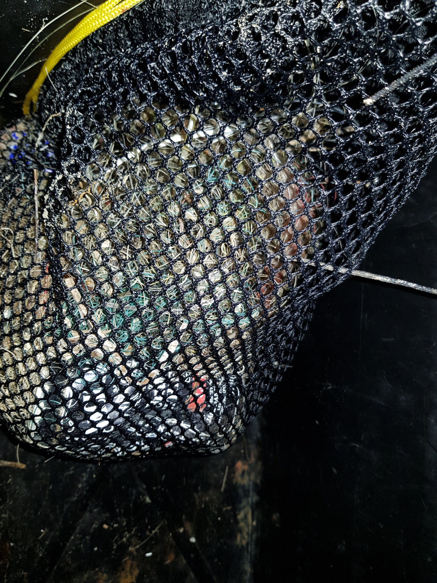
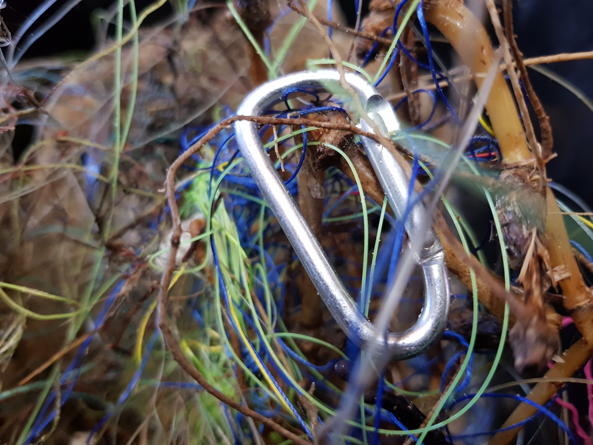
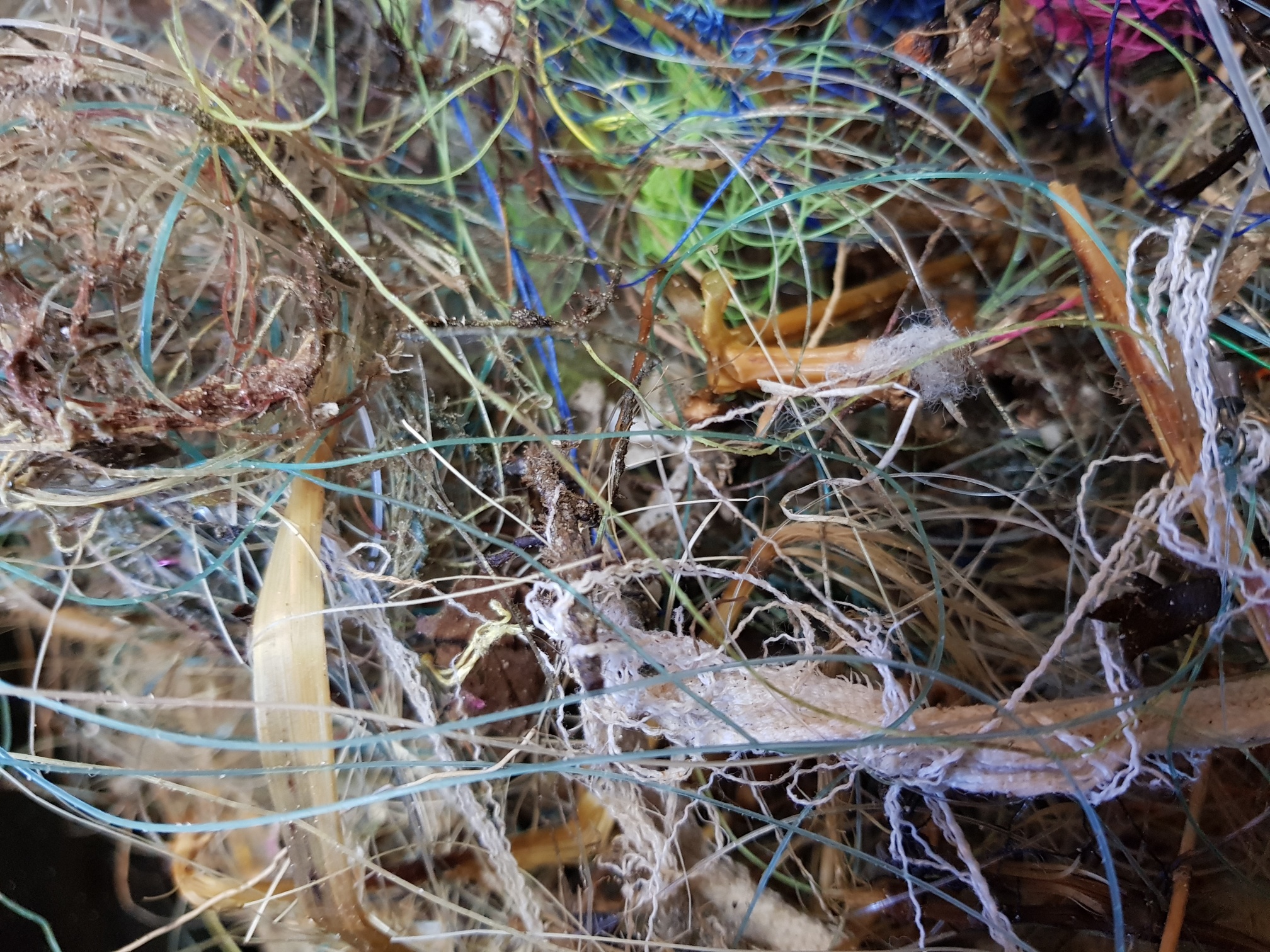
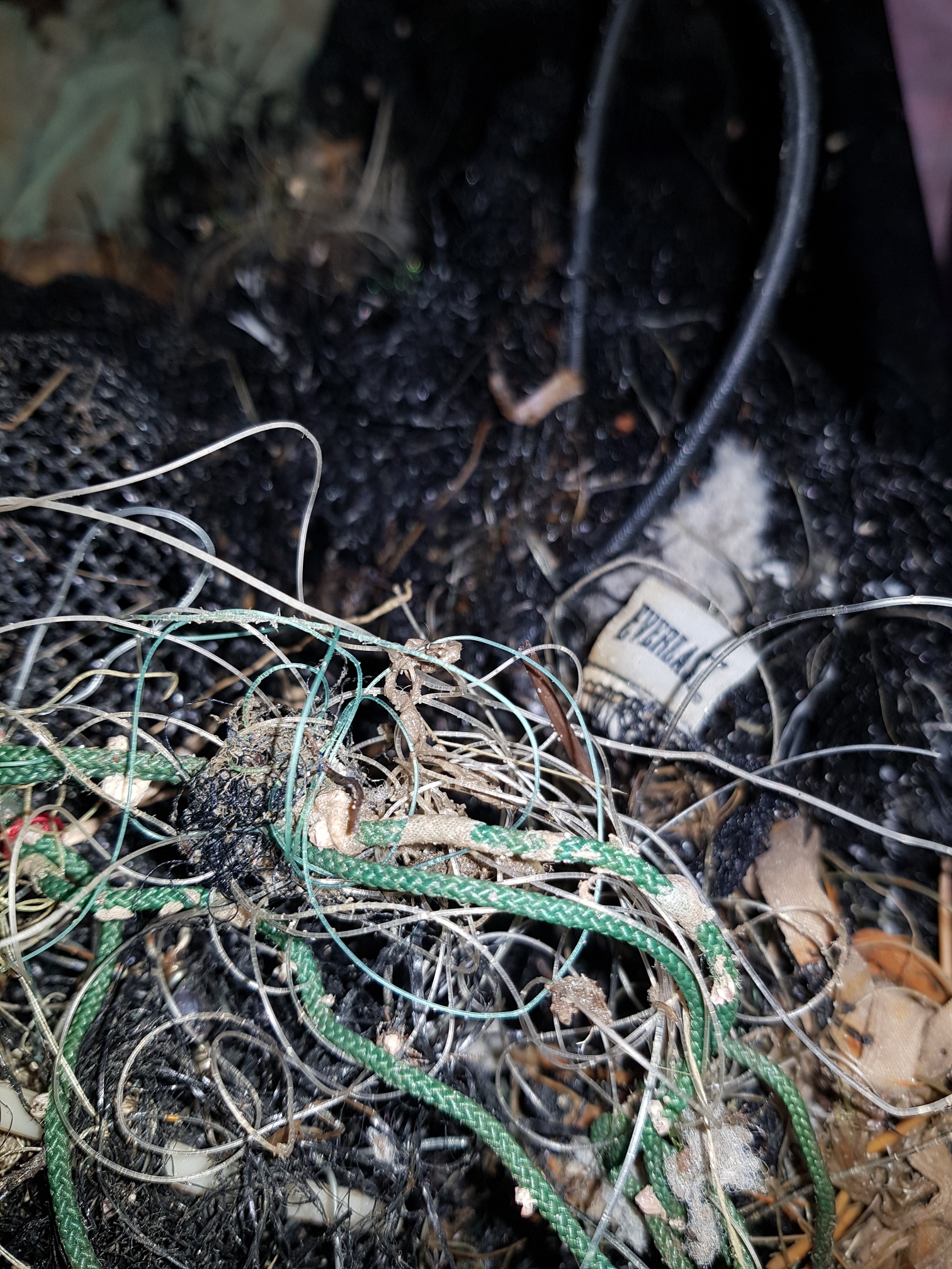
Mesh Fencing - 10m
Carabena
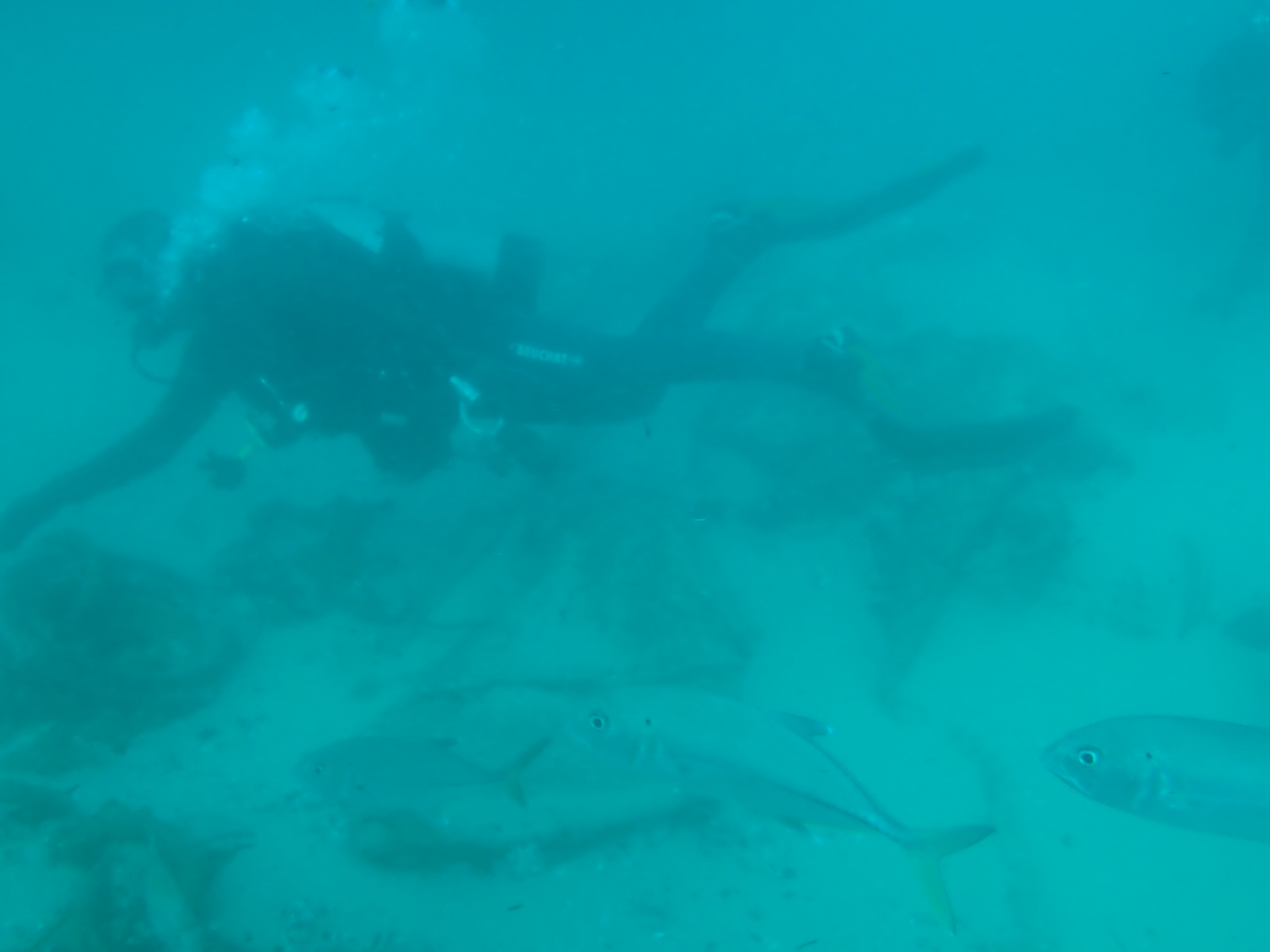
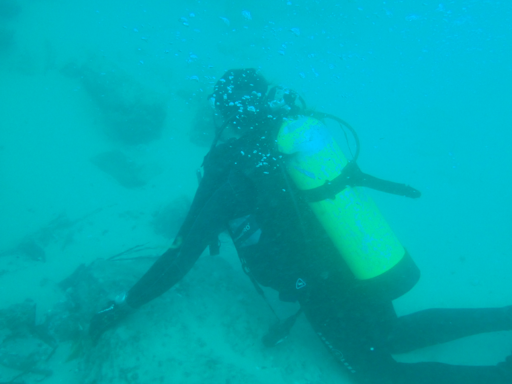
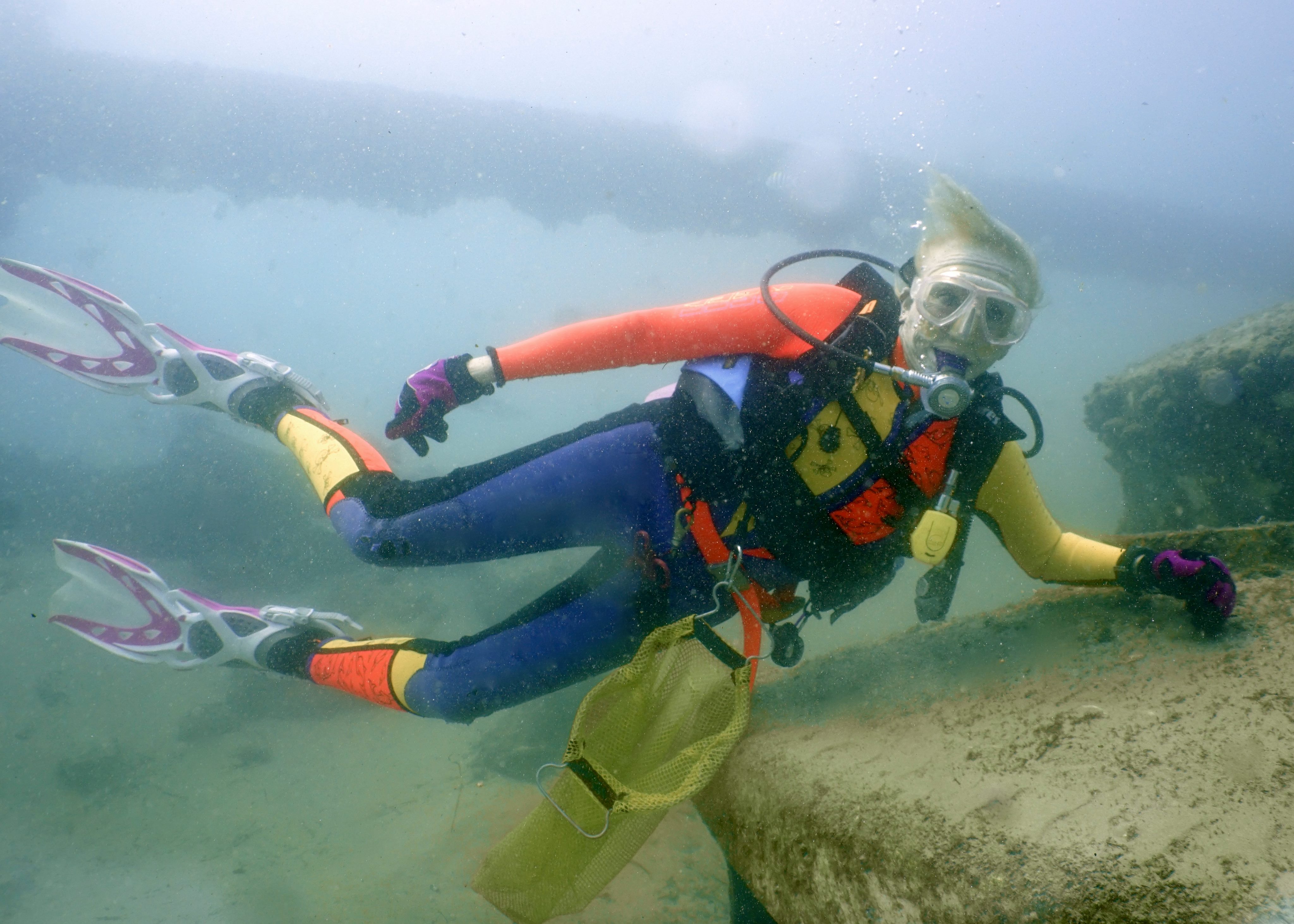
Environmental Divers
Kelly Fletcher
2
4
3
2
1
7
12
2
1
3
24.20
84
16.00
1.00
5
measured
2
527
120.00
1
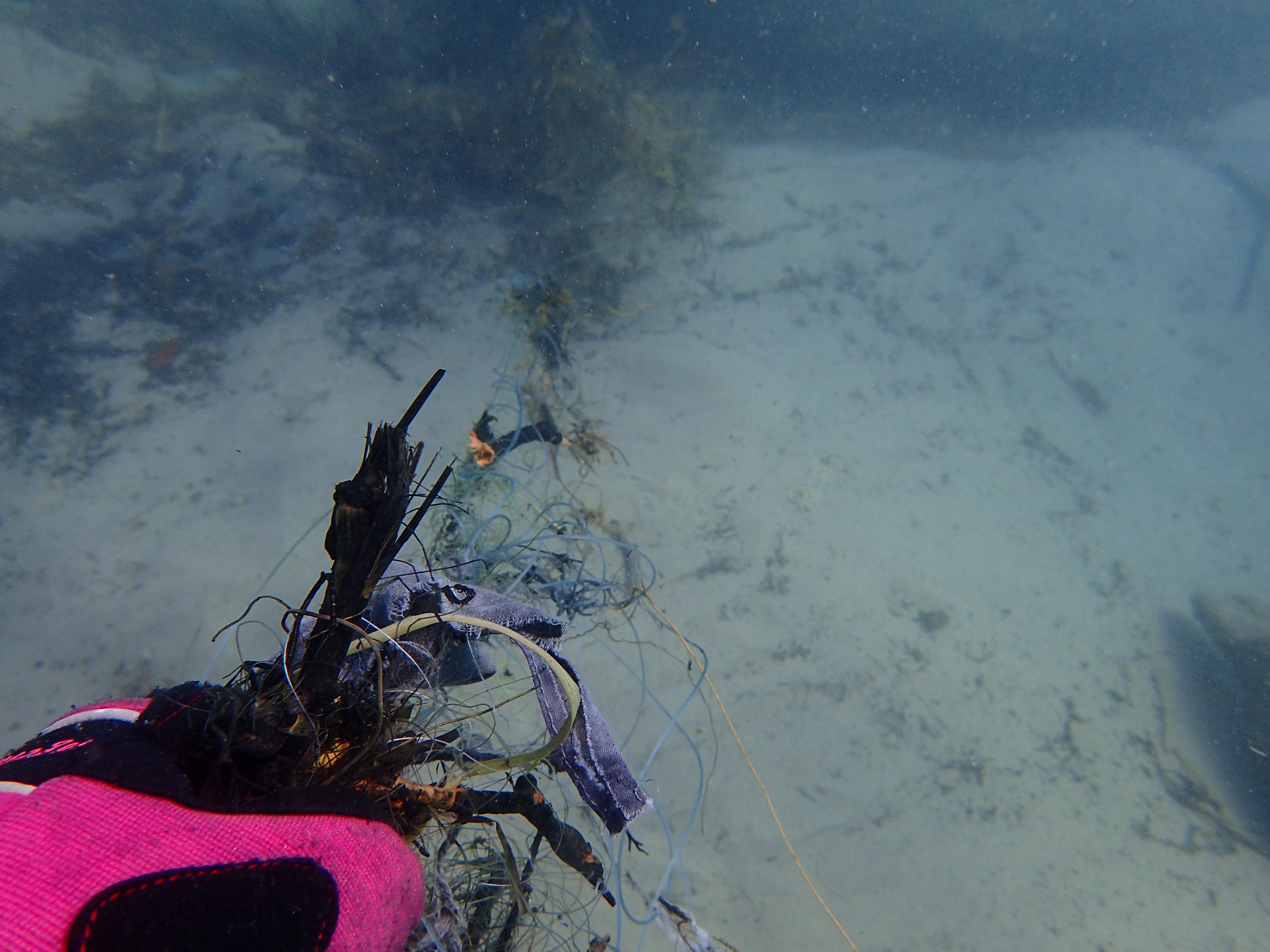
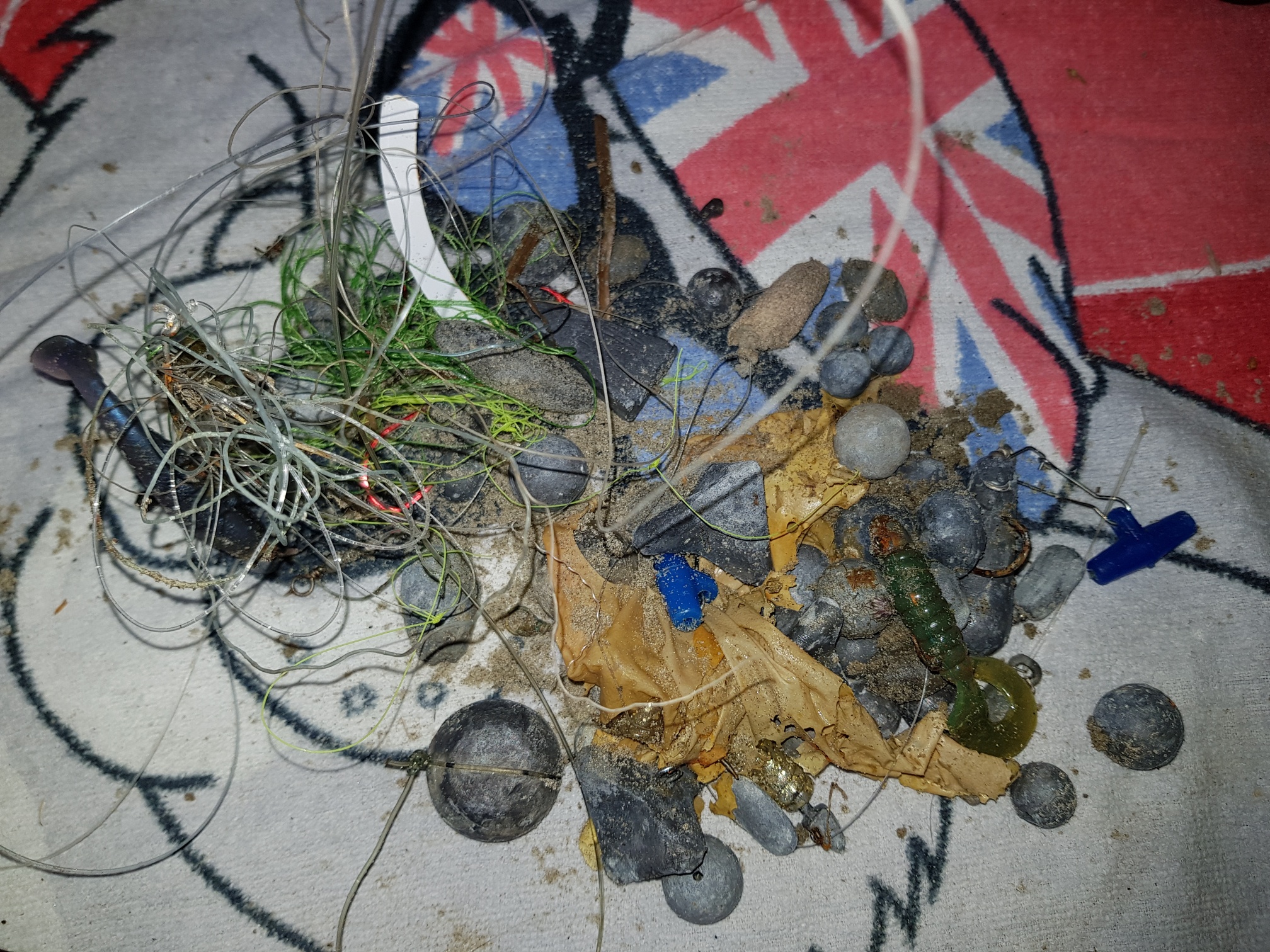
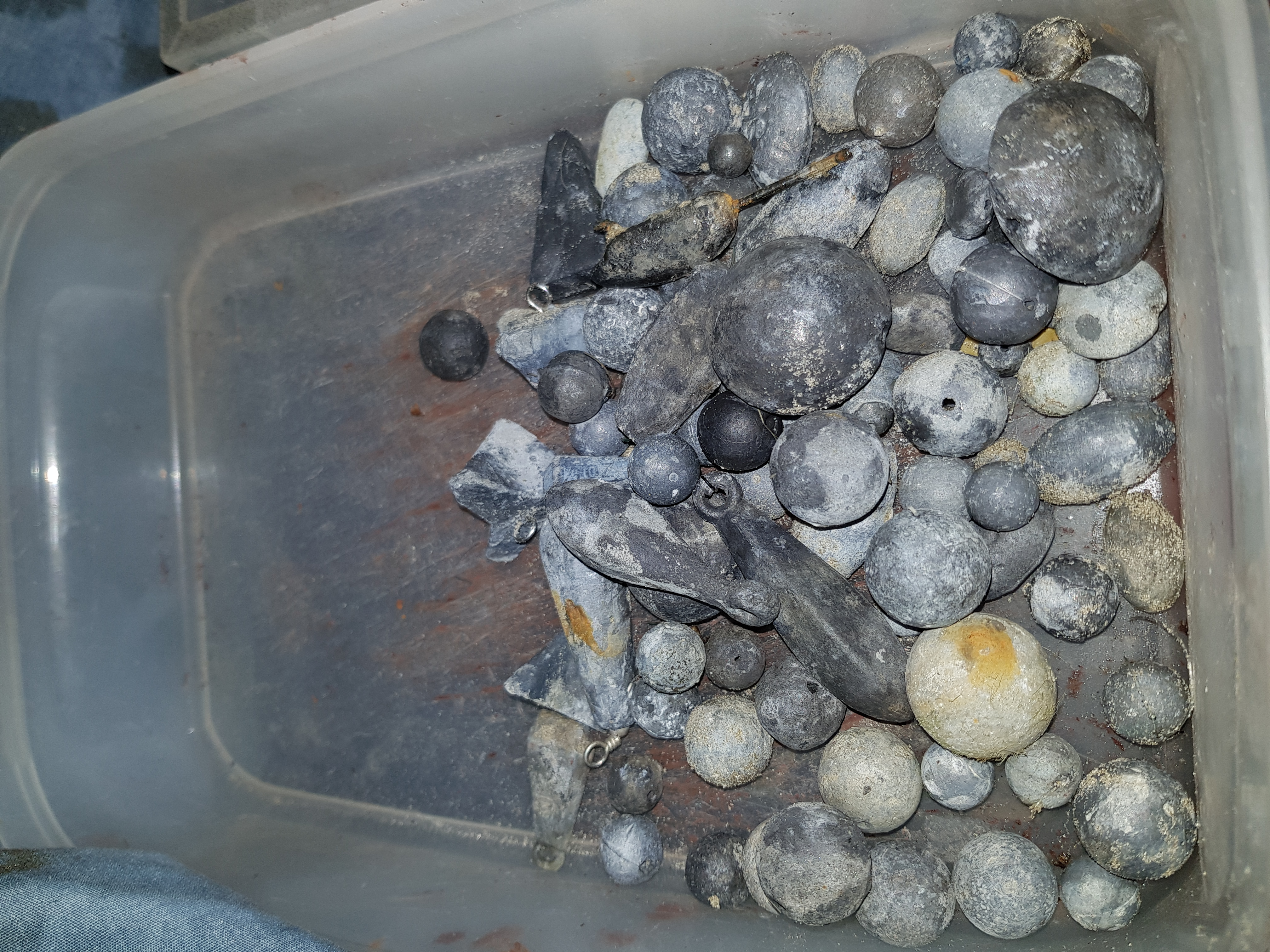
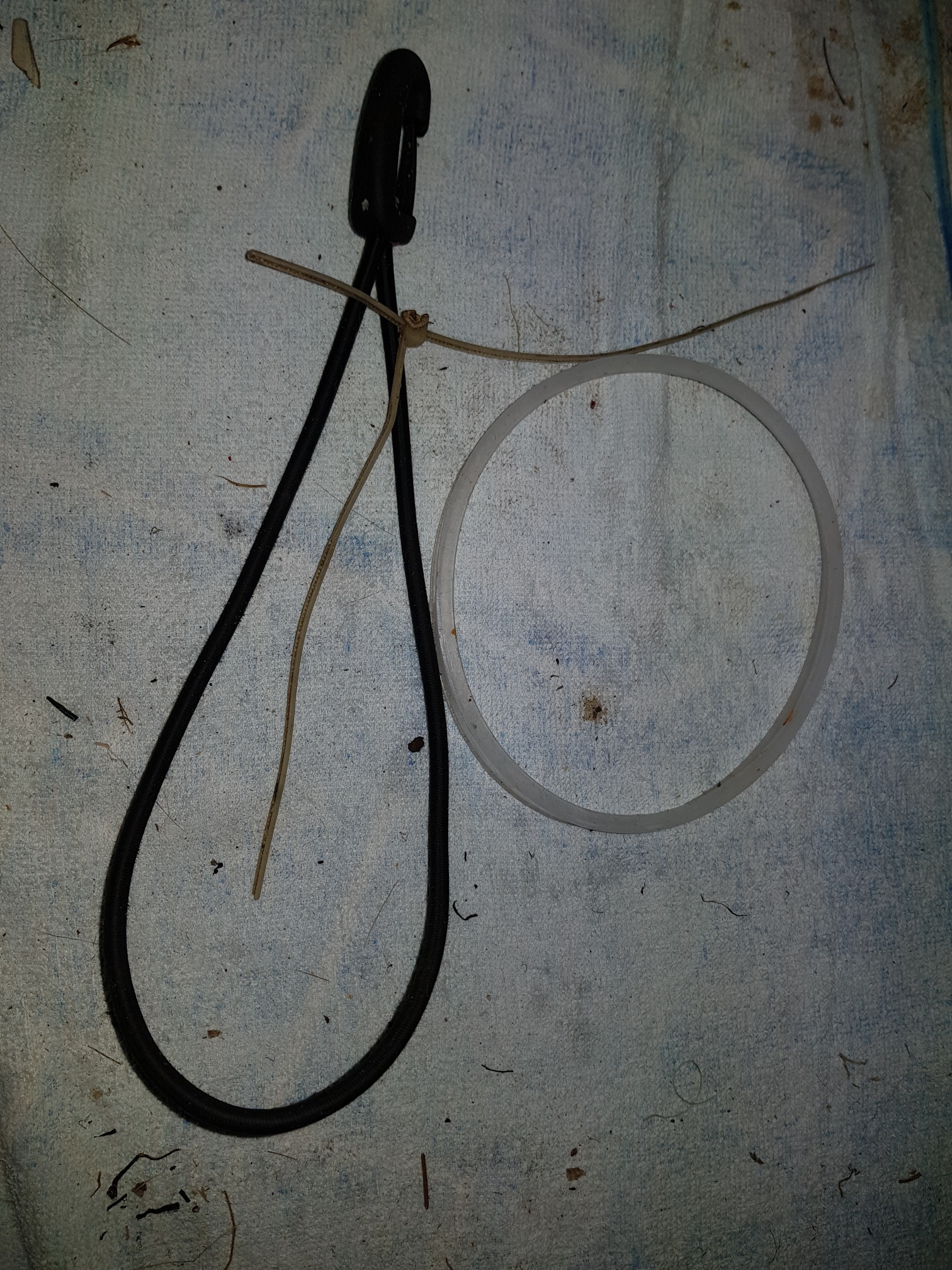
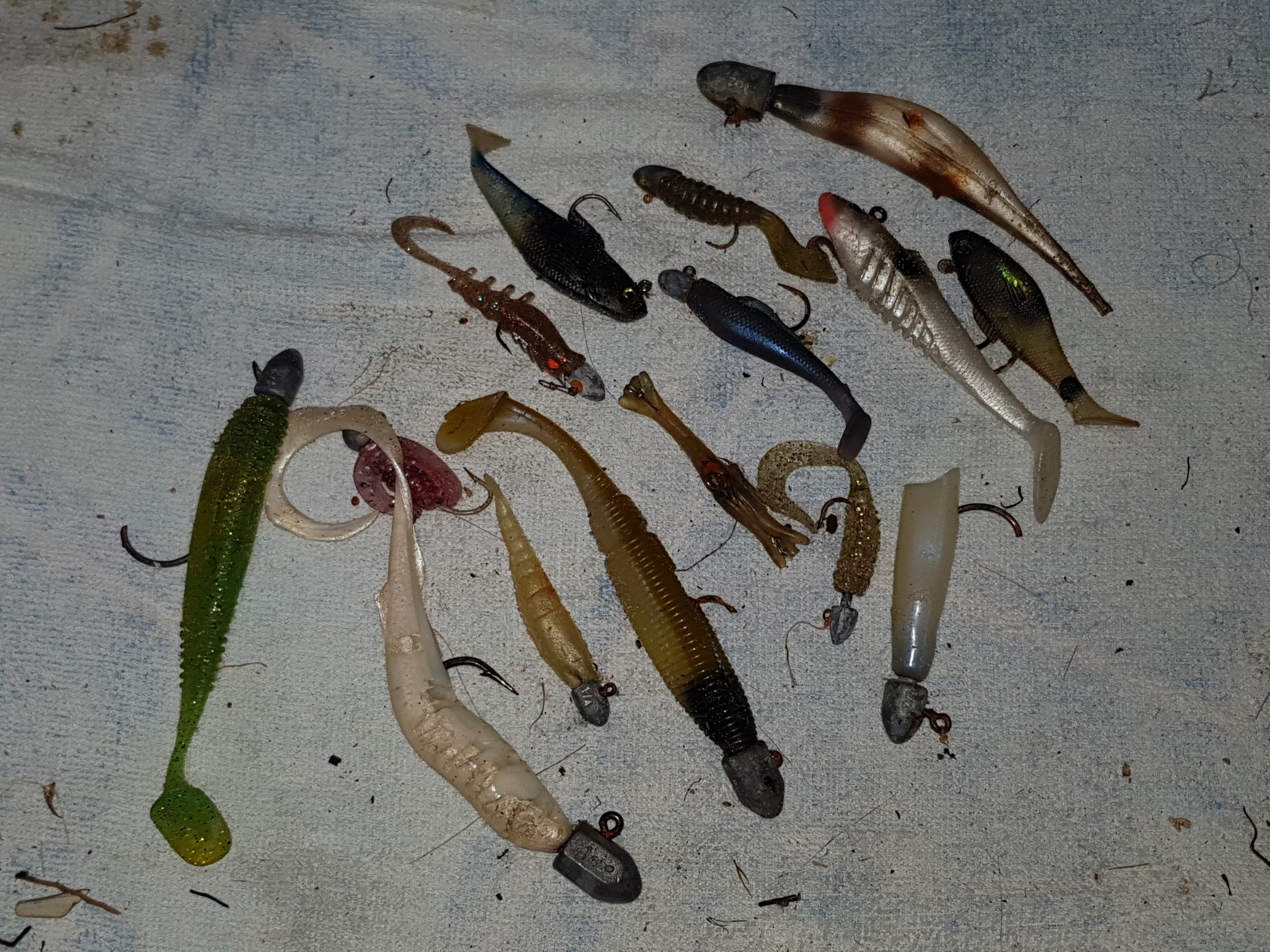
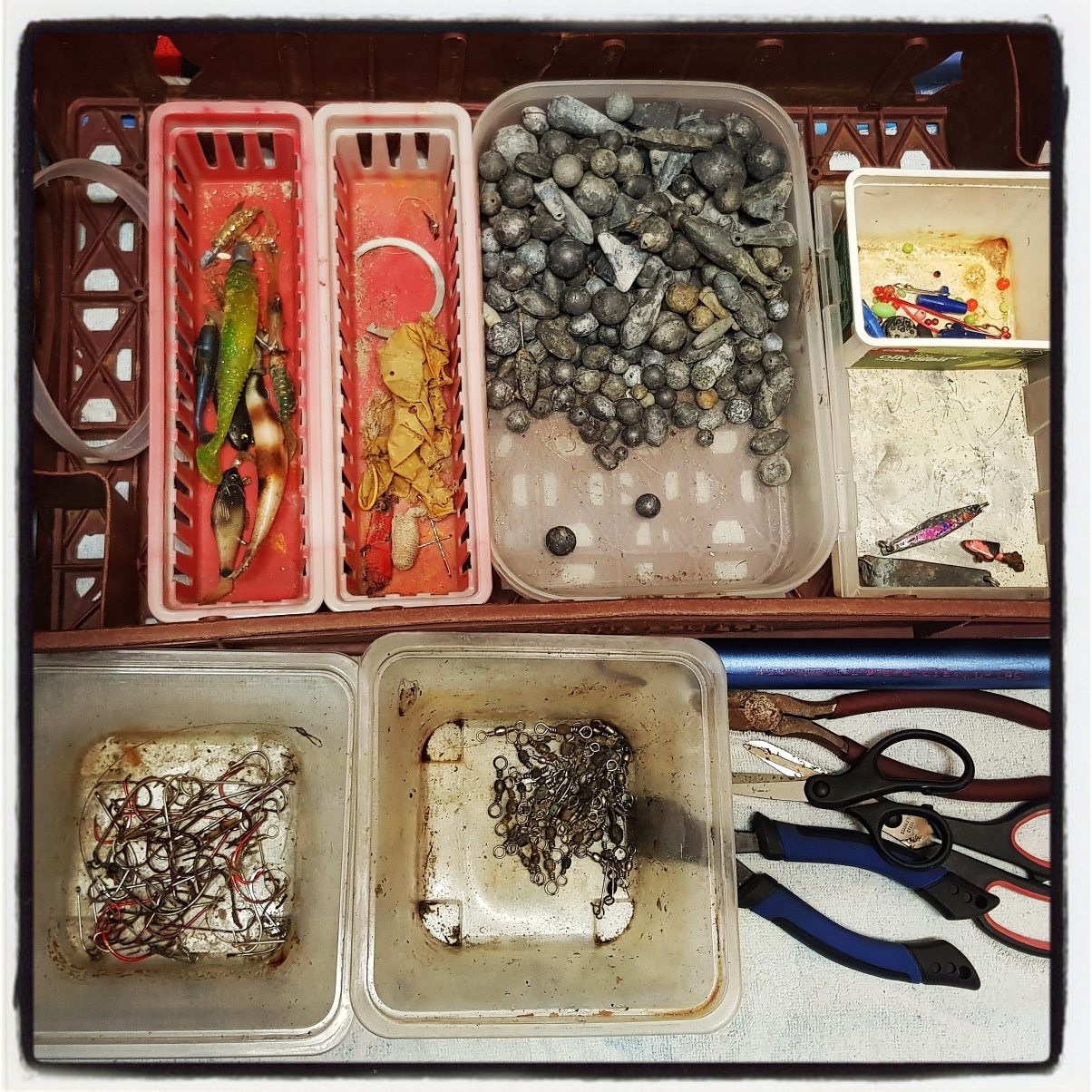
Line
Hooks
Sinkers
2
On
kilograms
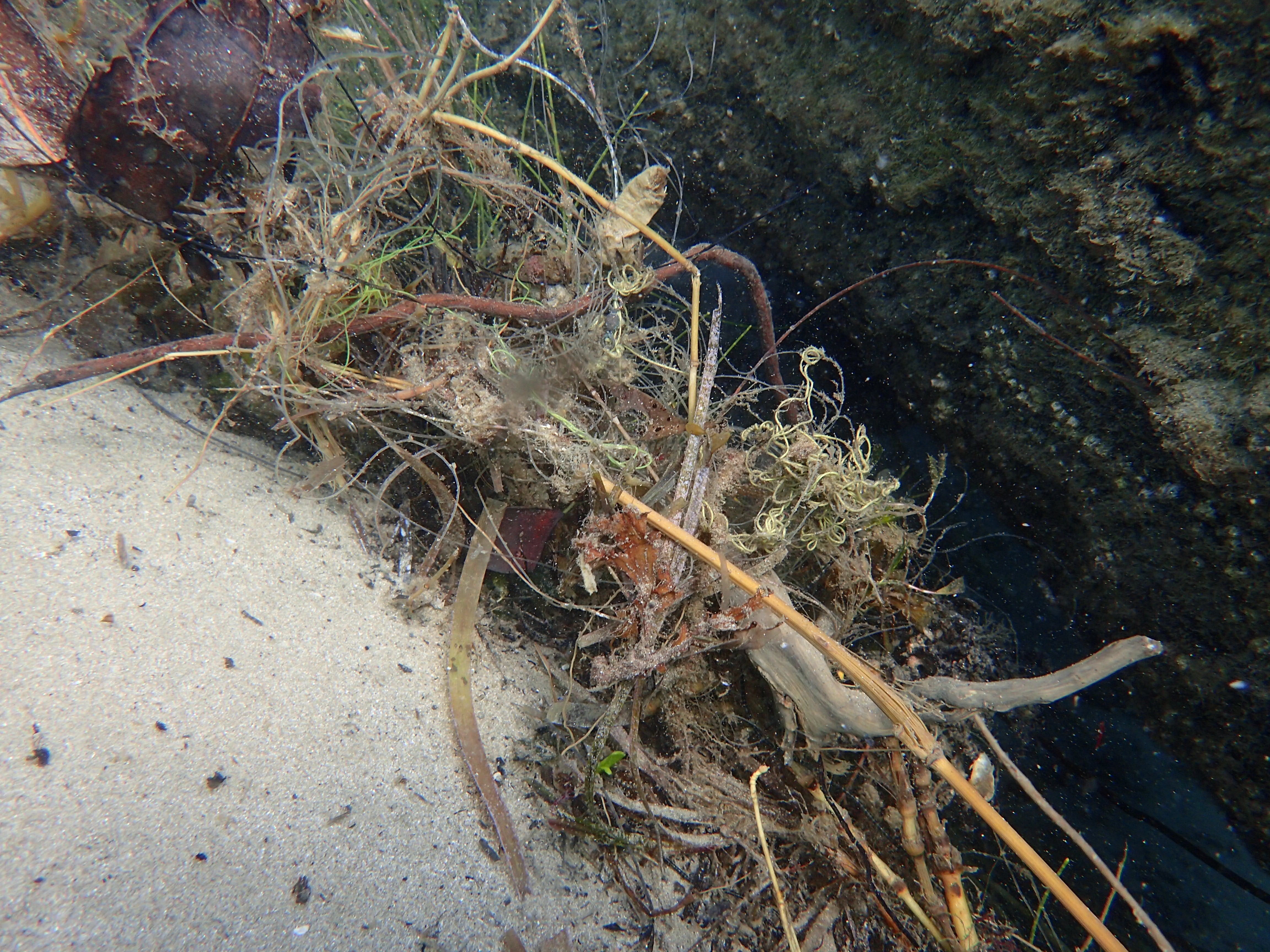
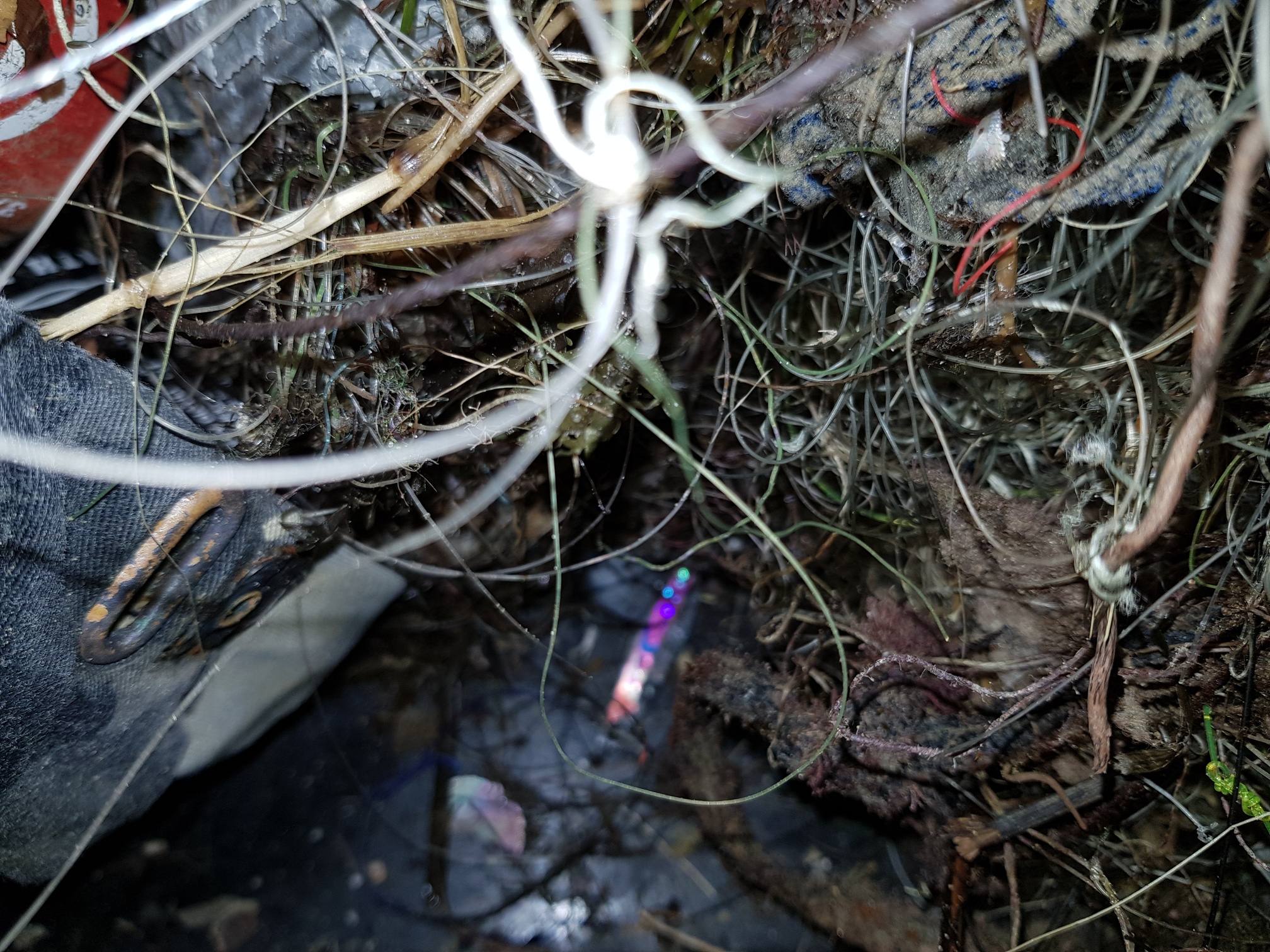
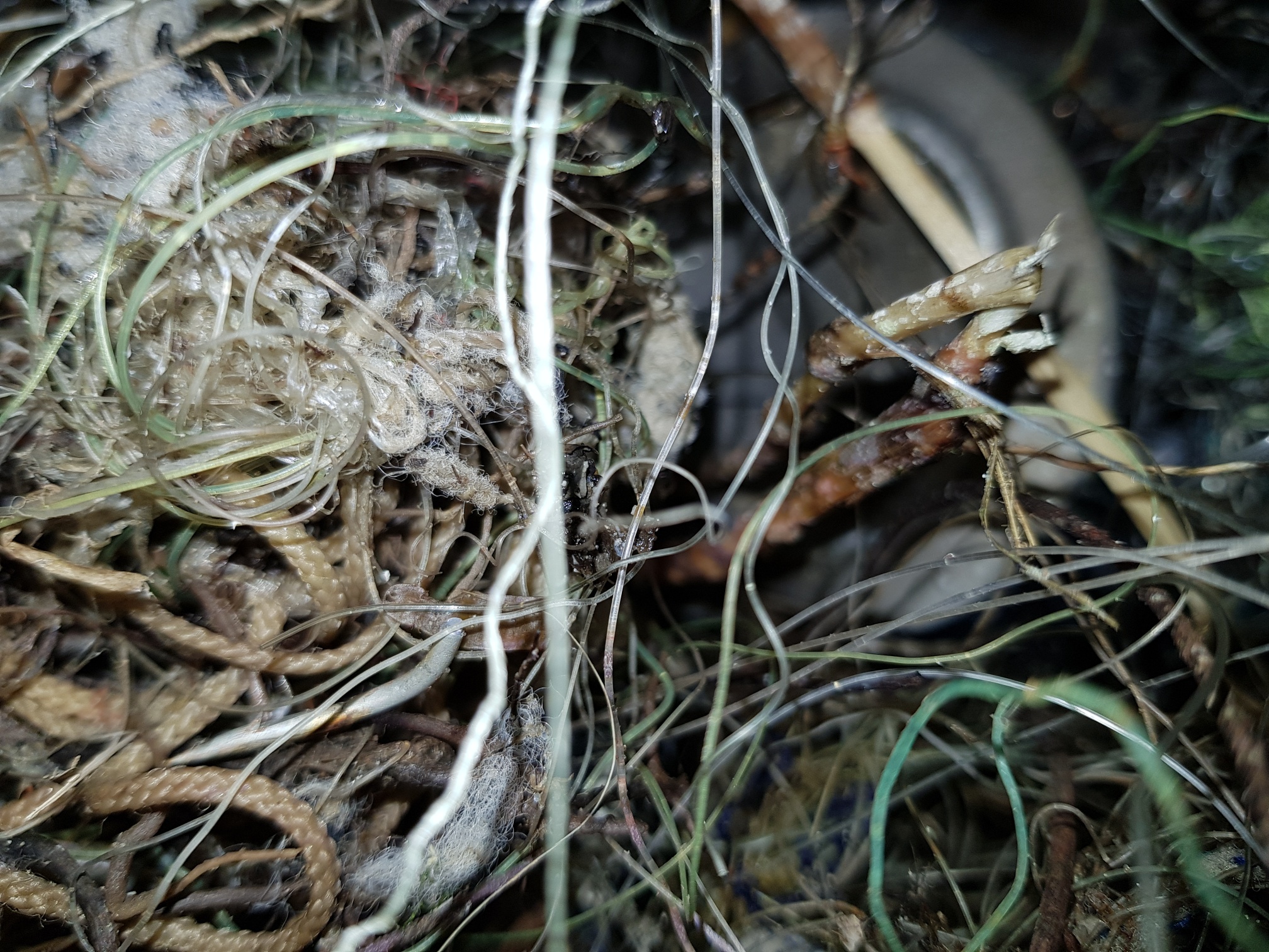
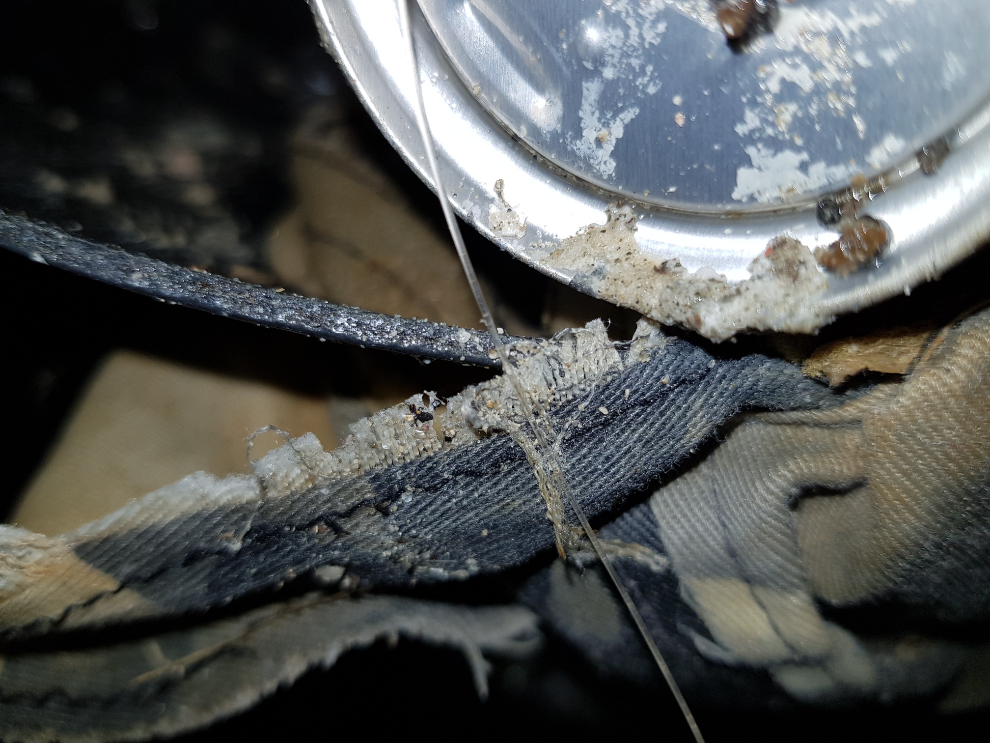
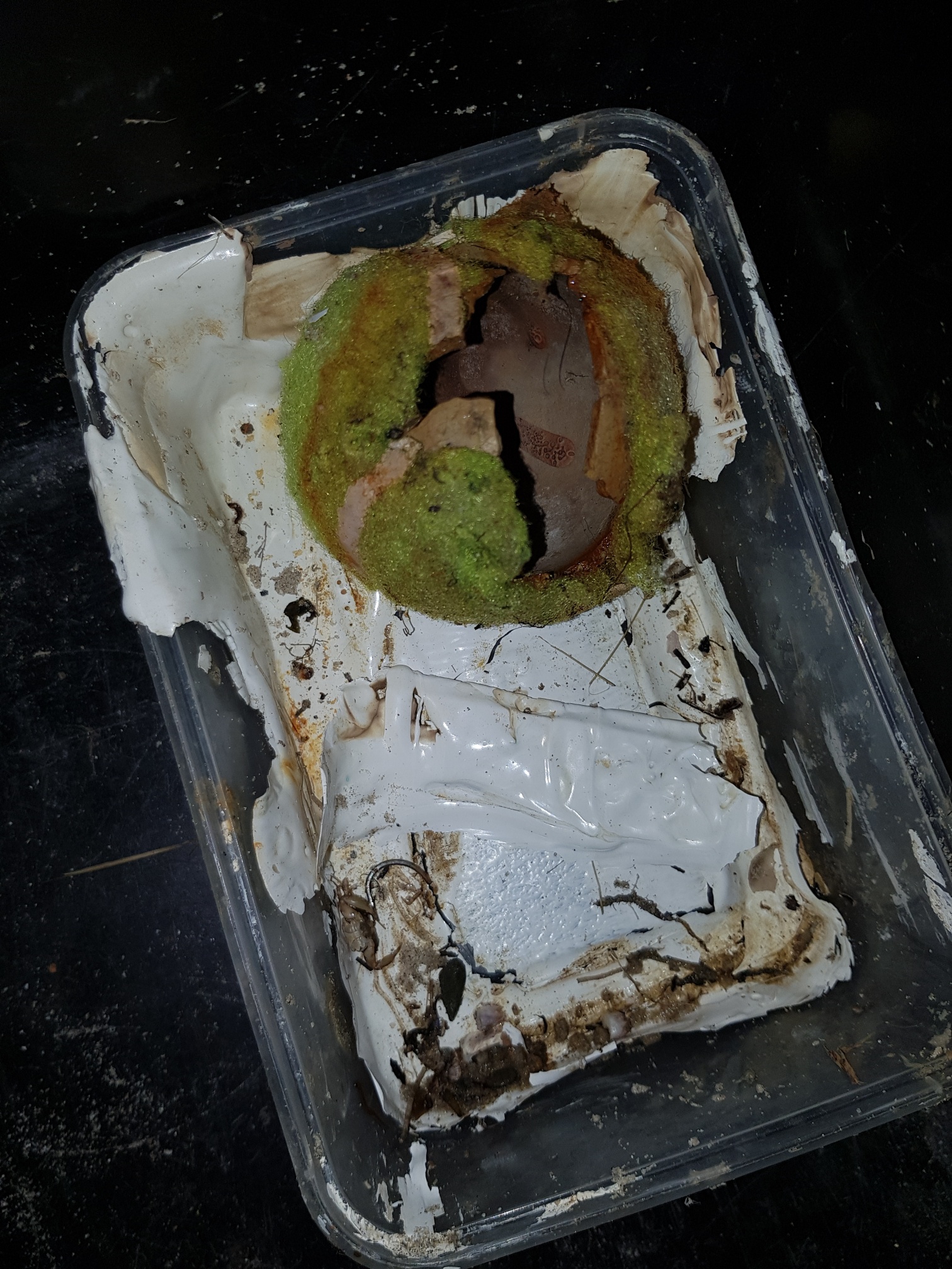
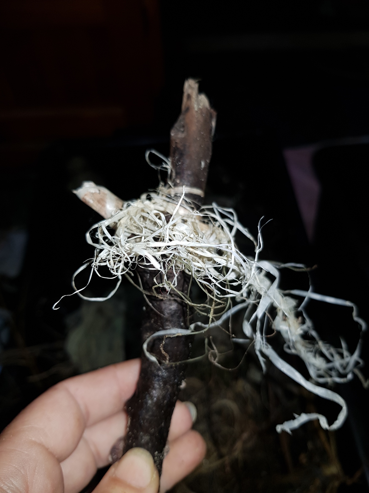
I have debris data to report
7
Calm (glassy to rippled) for waves 0 – 0.1 meter high
7
m2


5
4
meters
other
3
25
3
11
1
5
1
State\Province
Queensland
City
Gold Coast
Map Help
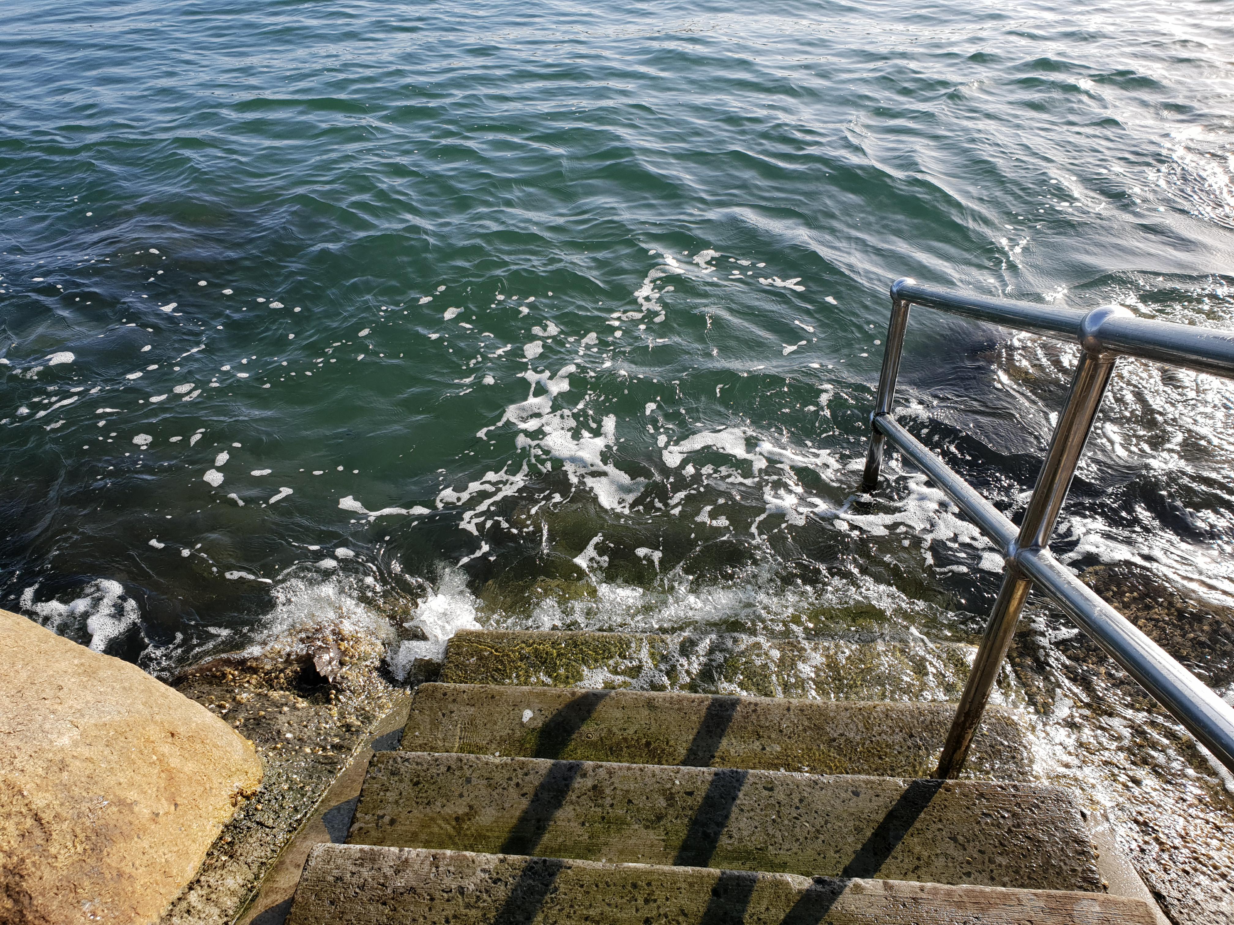
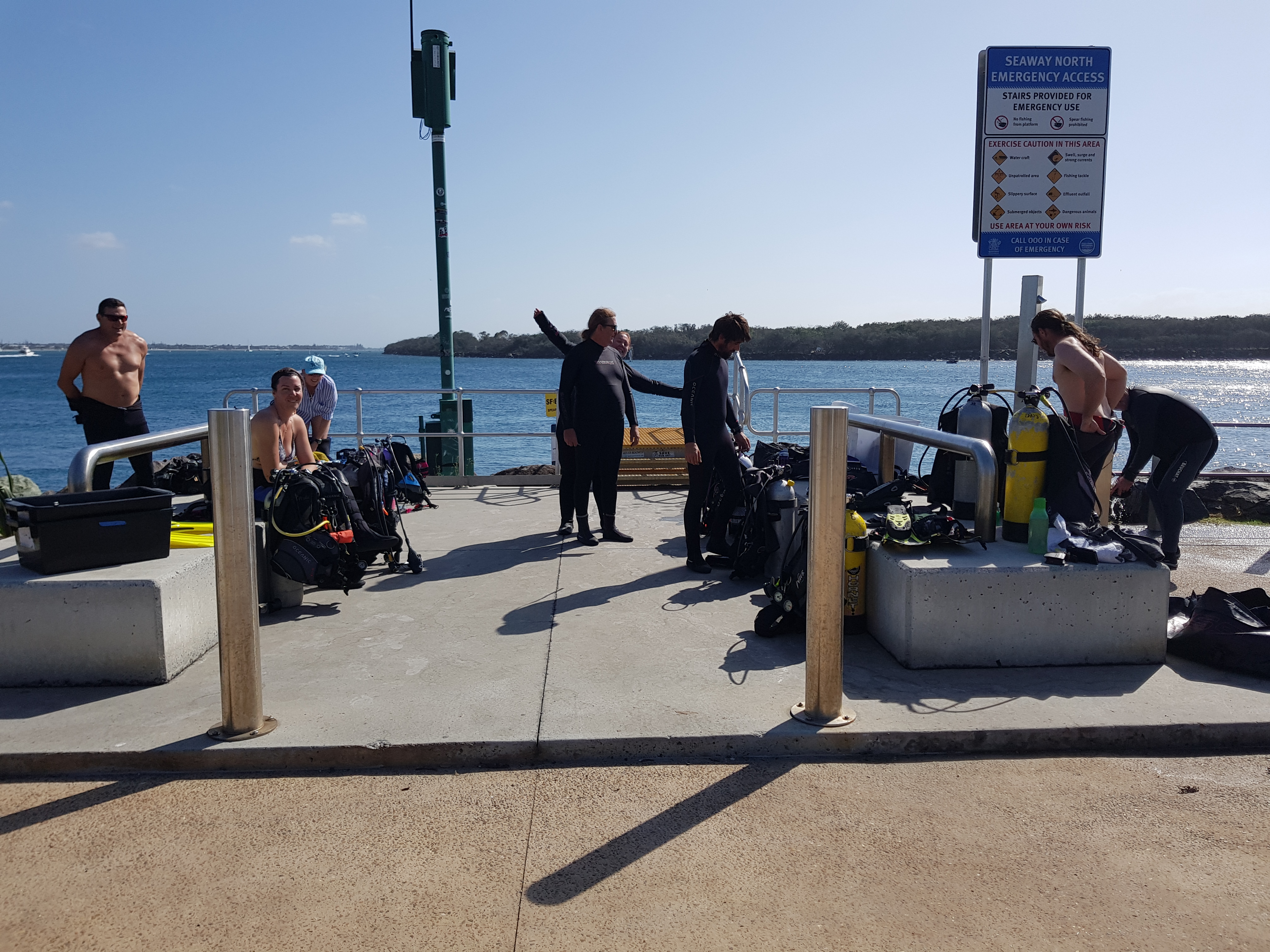
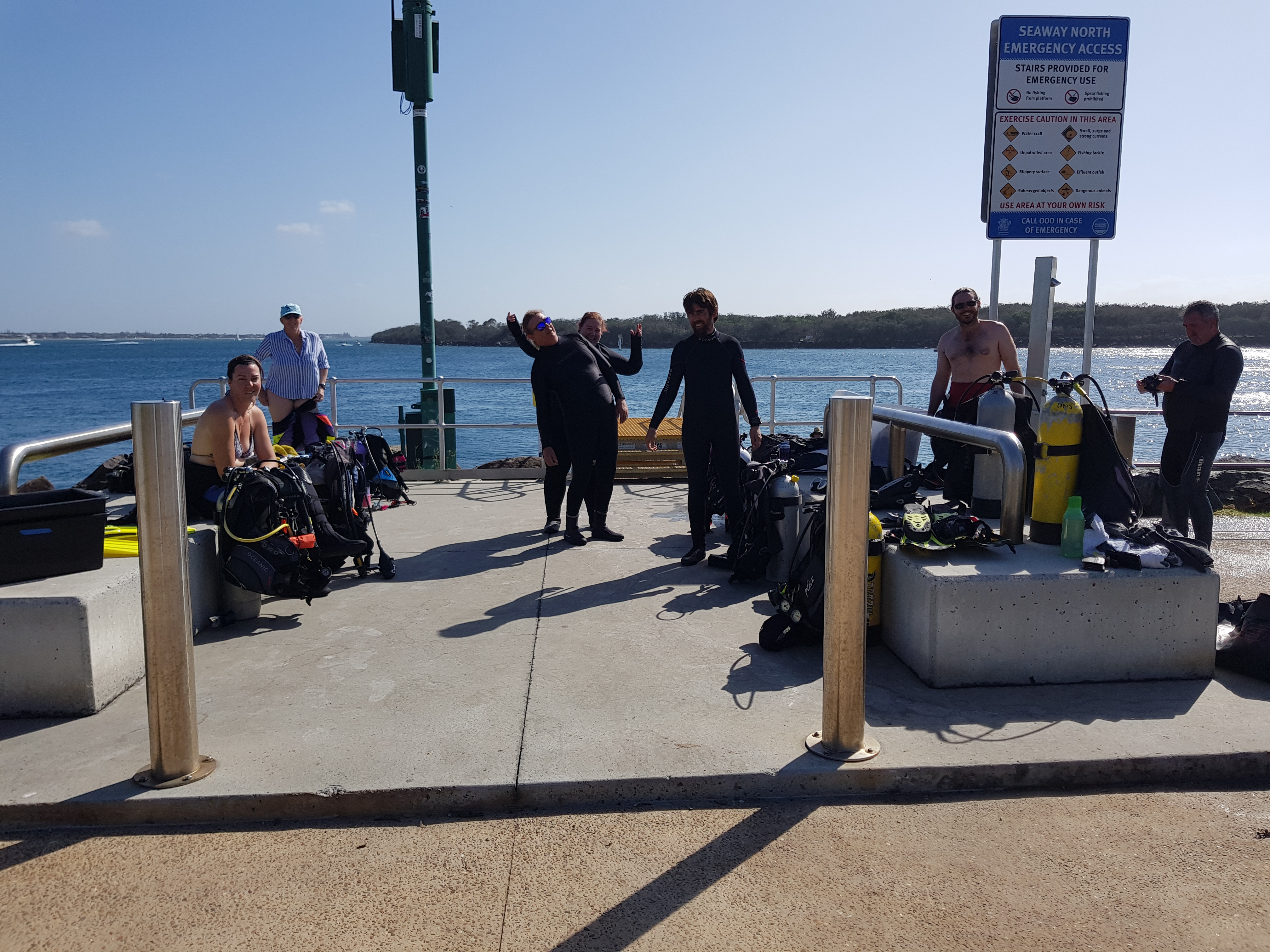
Dive Location
If you know your survey site coordinates, enter them manually in decimal degrees using WGS84 Map Datum. Use the minus sign for latitudes south of the equator and longitudes west of the Prime Meridian to 180 degrees.
If you do not know your survey site coordinates, click the “Map Location” tab to use the map to zoom into your survey site and drop the pin on the map to fall within your survey dive site in the water (not on land or the beach). Ensure you zoom in as much as possible to ensure data accuracy.
Entangled Help
Use the vertical tabs below to record any entangled animals you found of each type.
Ecosystem Other
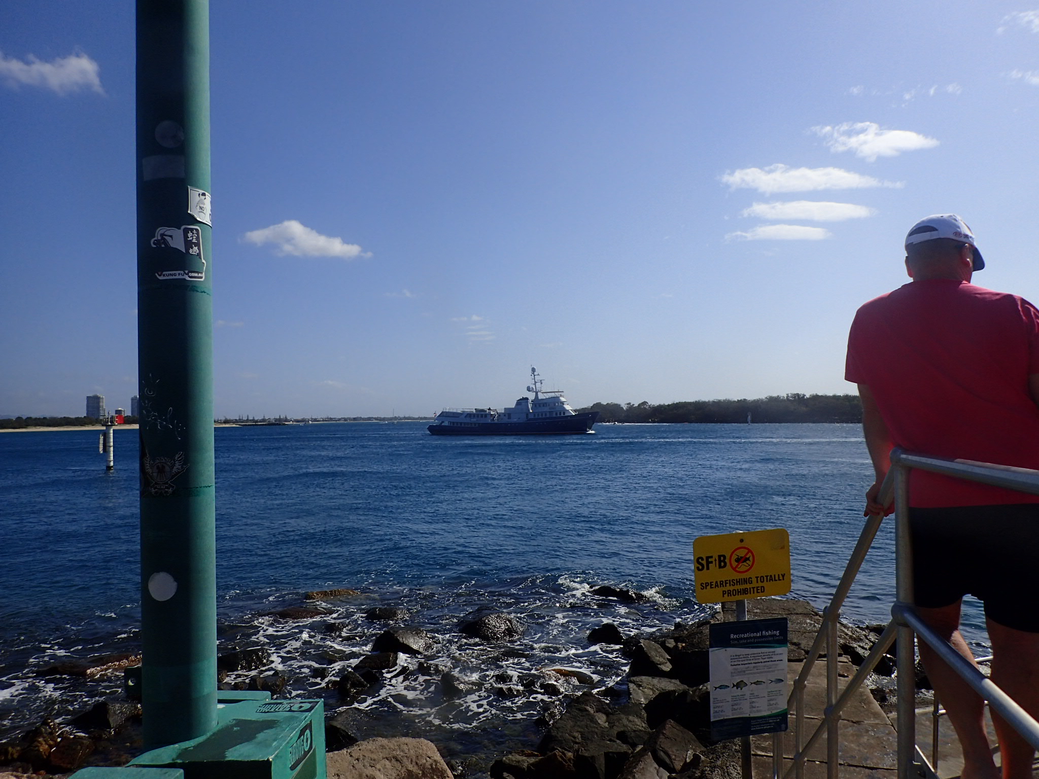
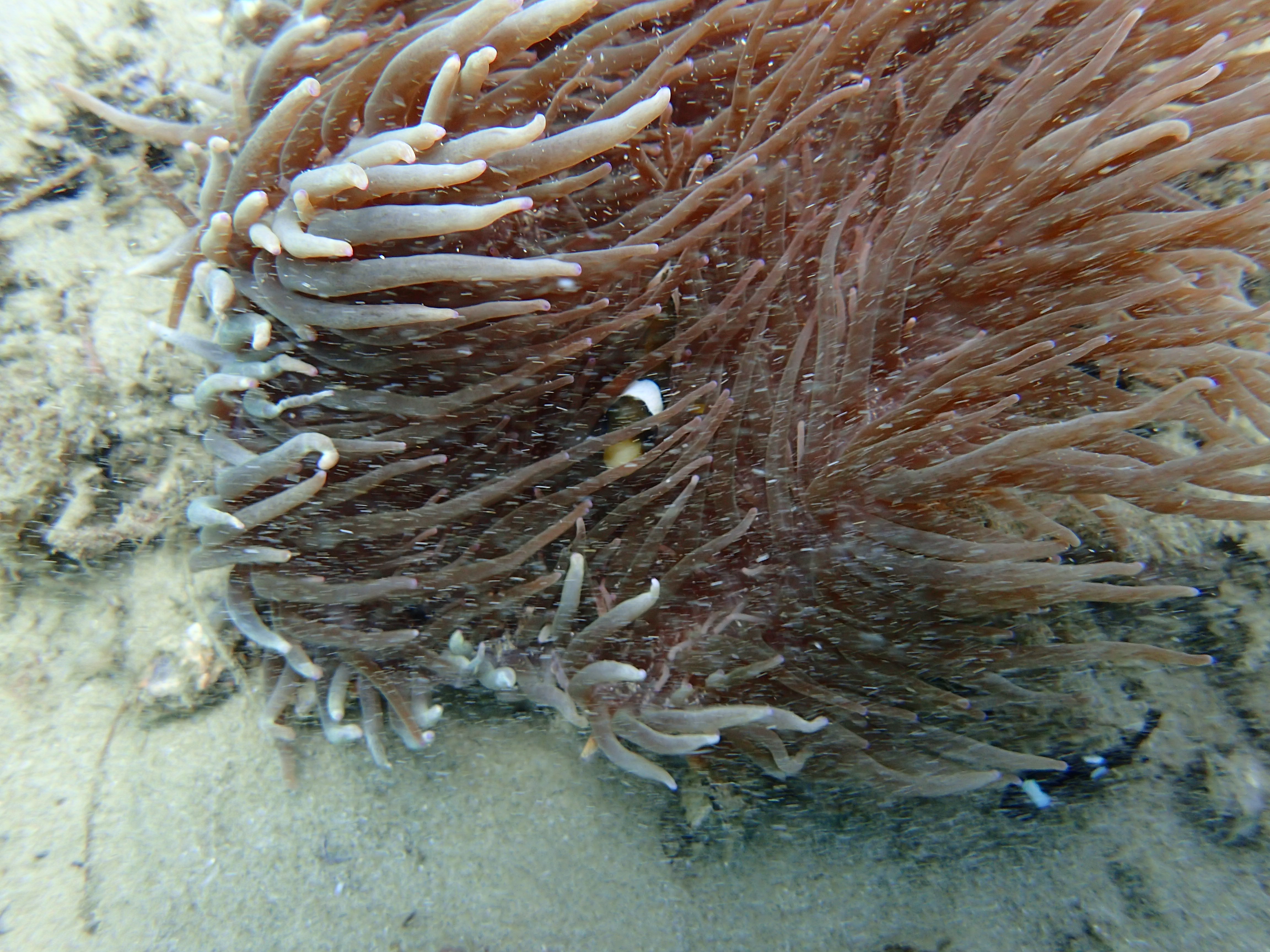
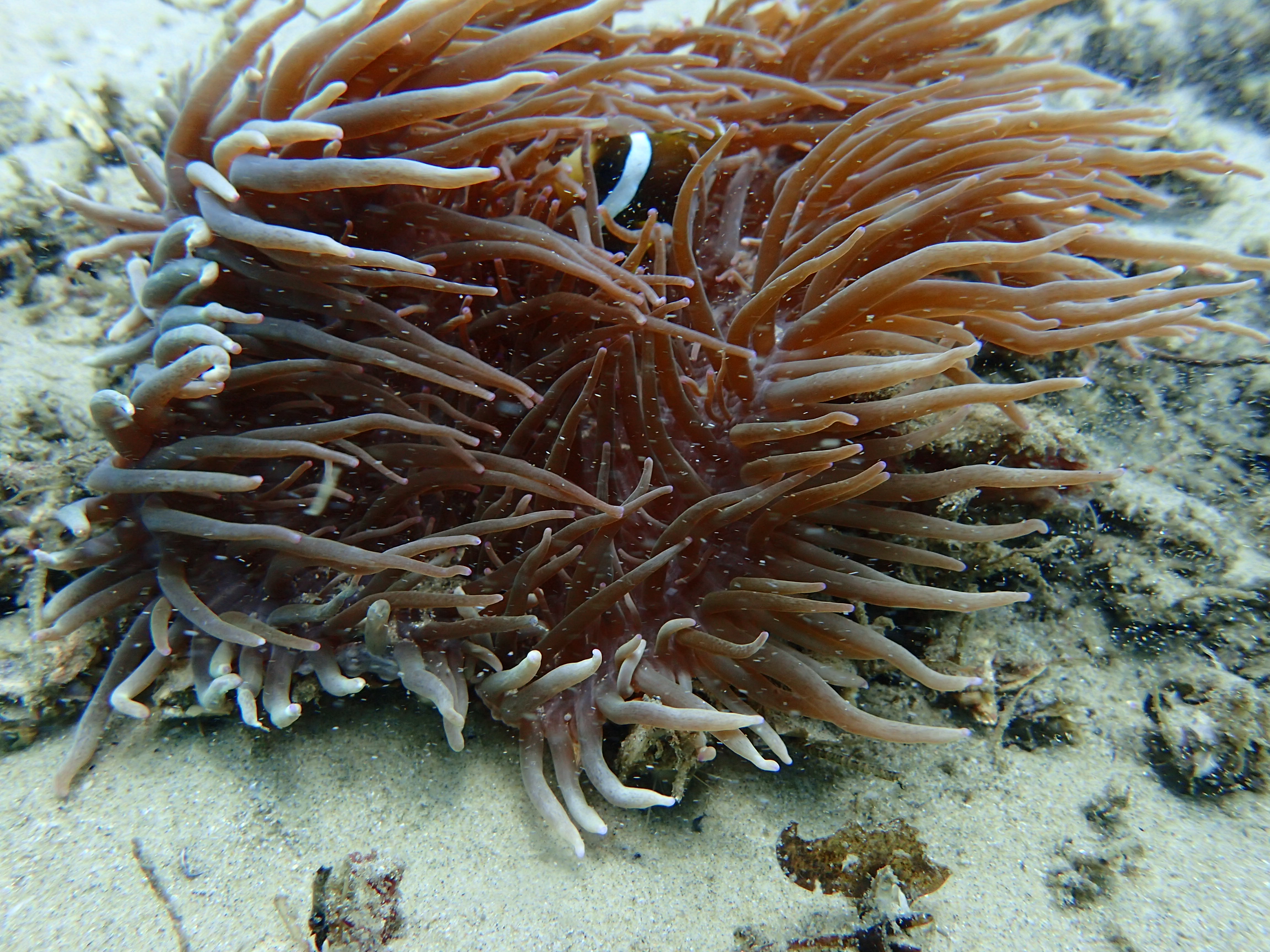
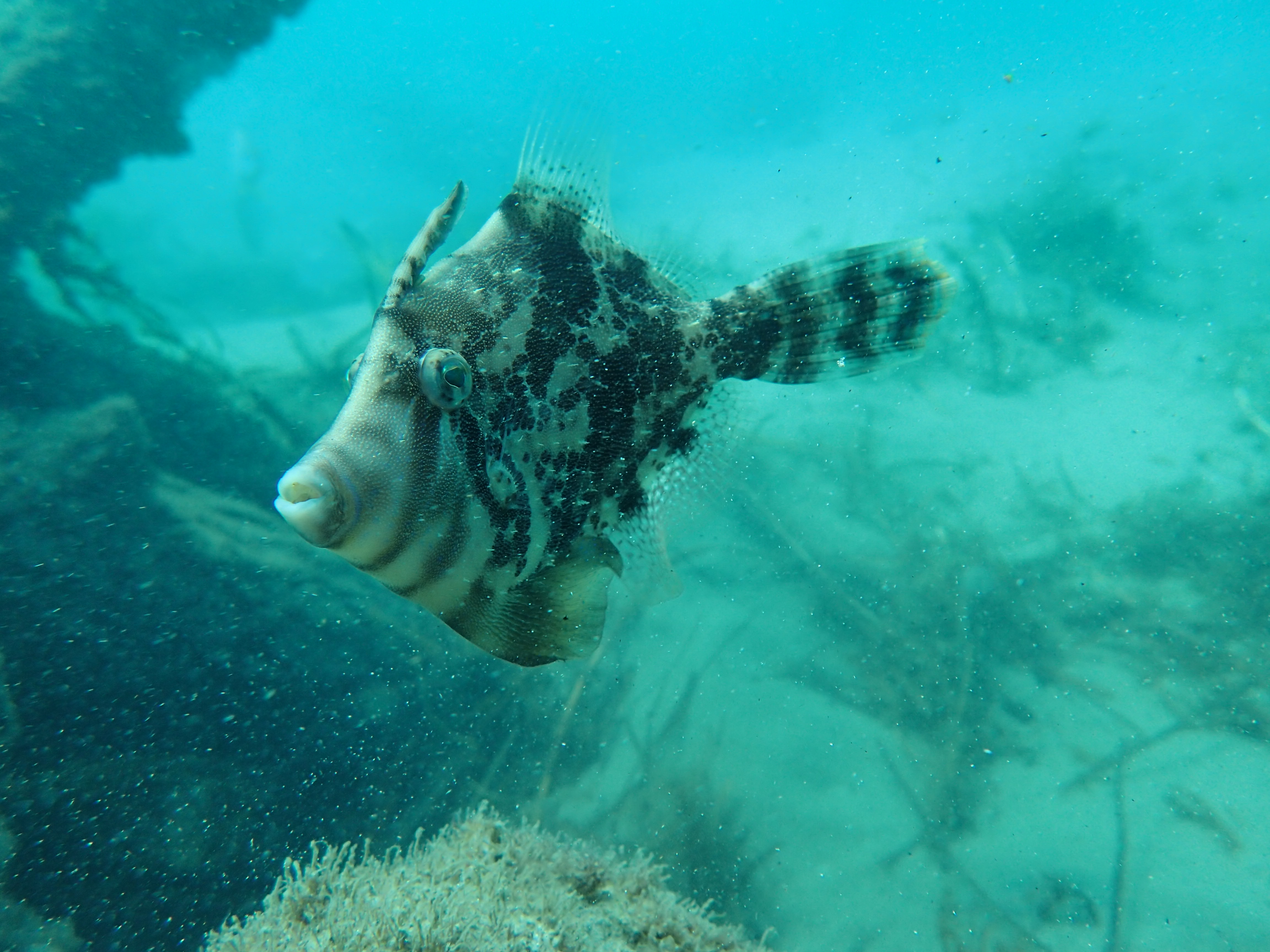
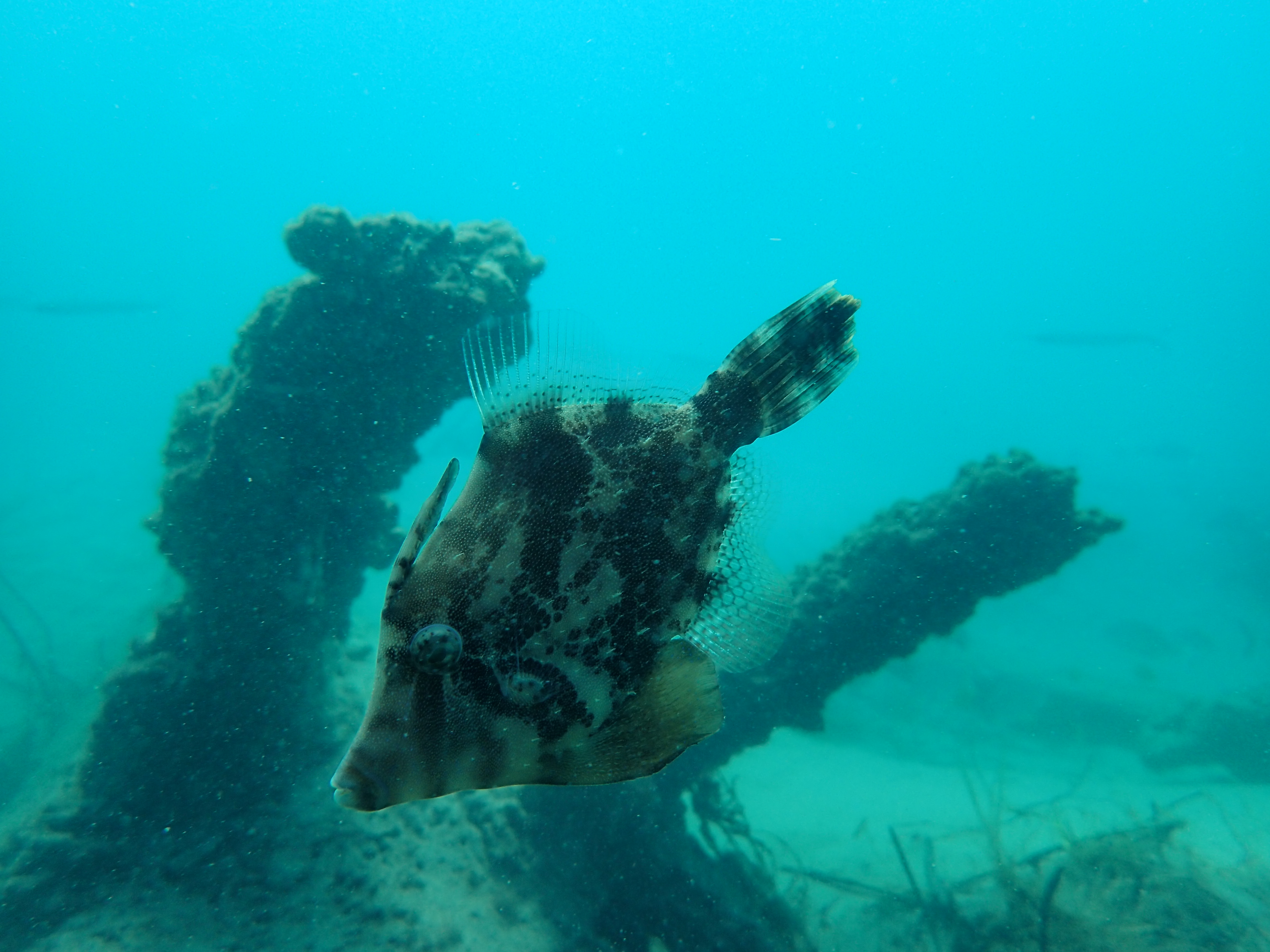
Man made seaway entrance


