West Hawk Lake, Manitoba, Canada - Cat's Ass
6
15
2
6
silt
12
4
49.74470330398, -95.208989465609
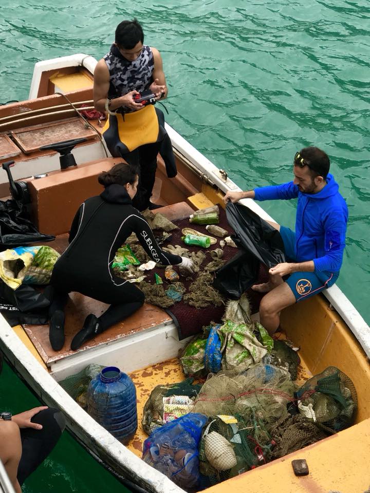
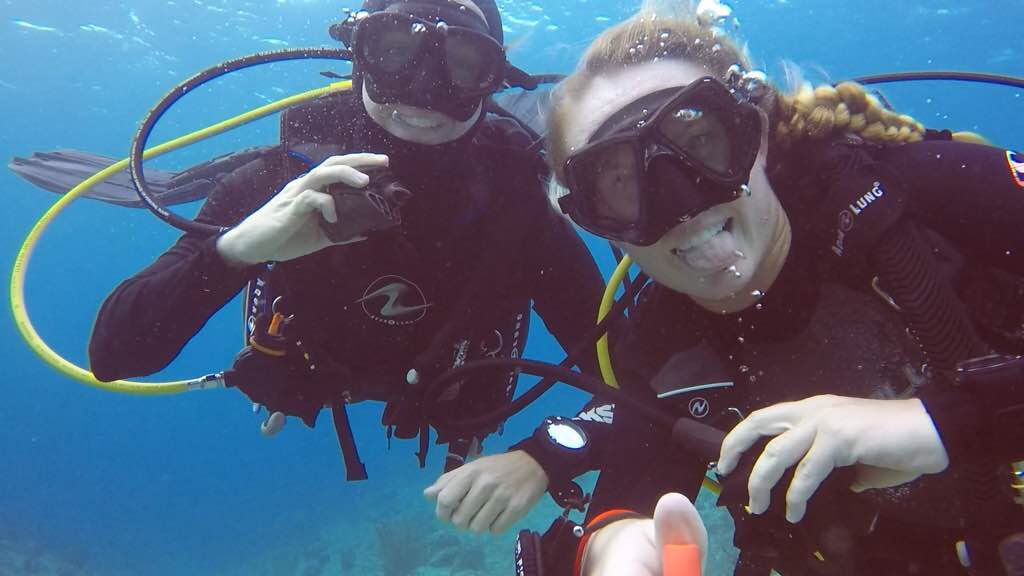
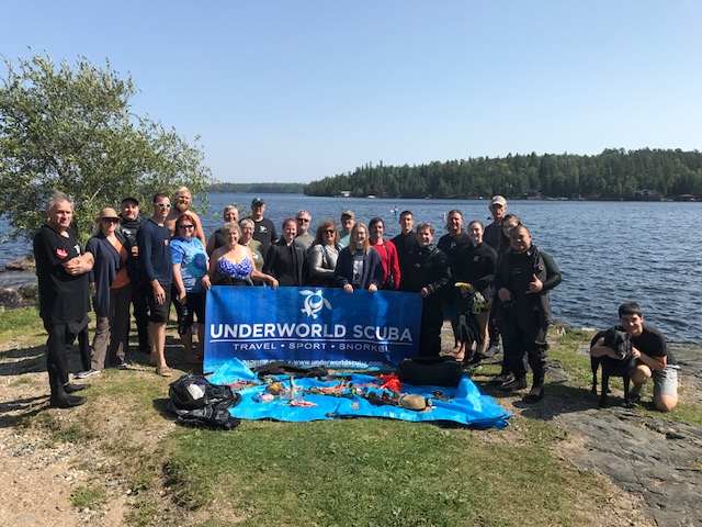
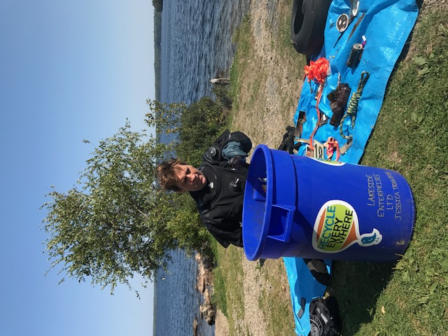
This was our first Dive Against Debris Dive in a long time for Underworld Scuba. There are also other dive groups doing clean up dives and the debris is getting less and less.
No
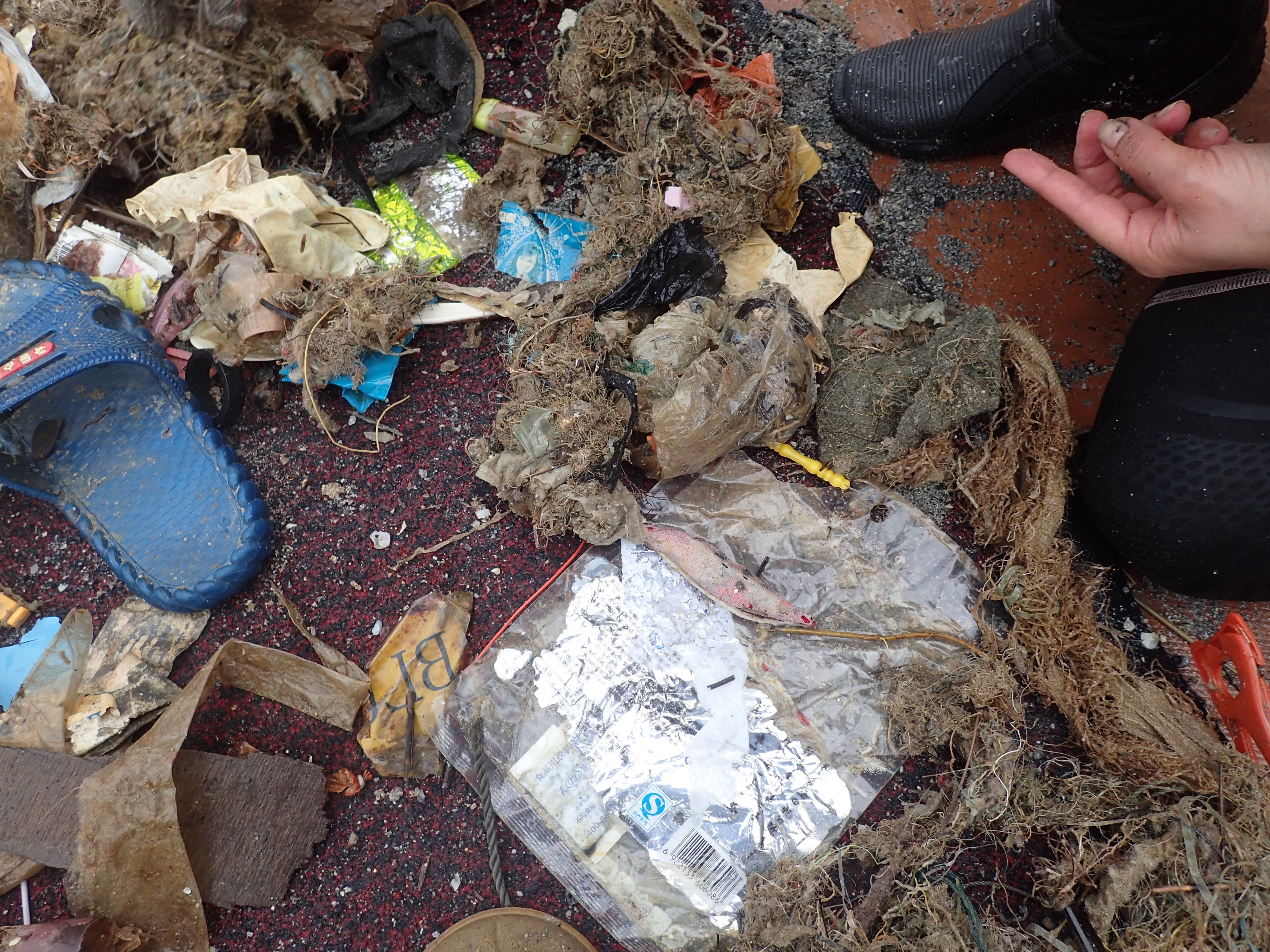
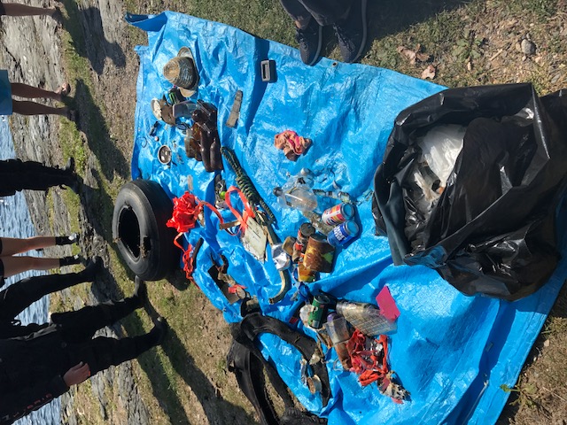
Antique Coke Bottles.
Wind, rain, sunny periods - a mix of weather.
Underworld Scuba
Tim Ness
1
3
20
1
4
1
35.00
37
40.00
0.00
2
estimated
3
1
5000.00
2
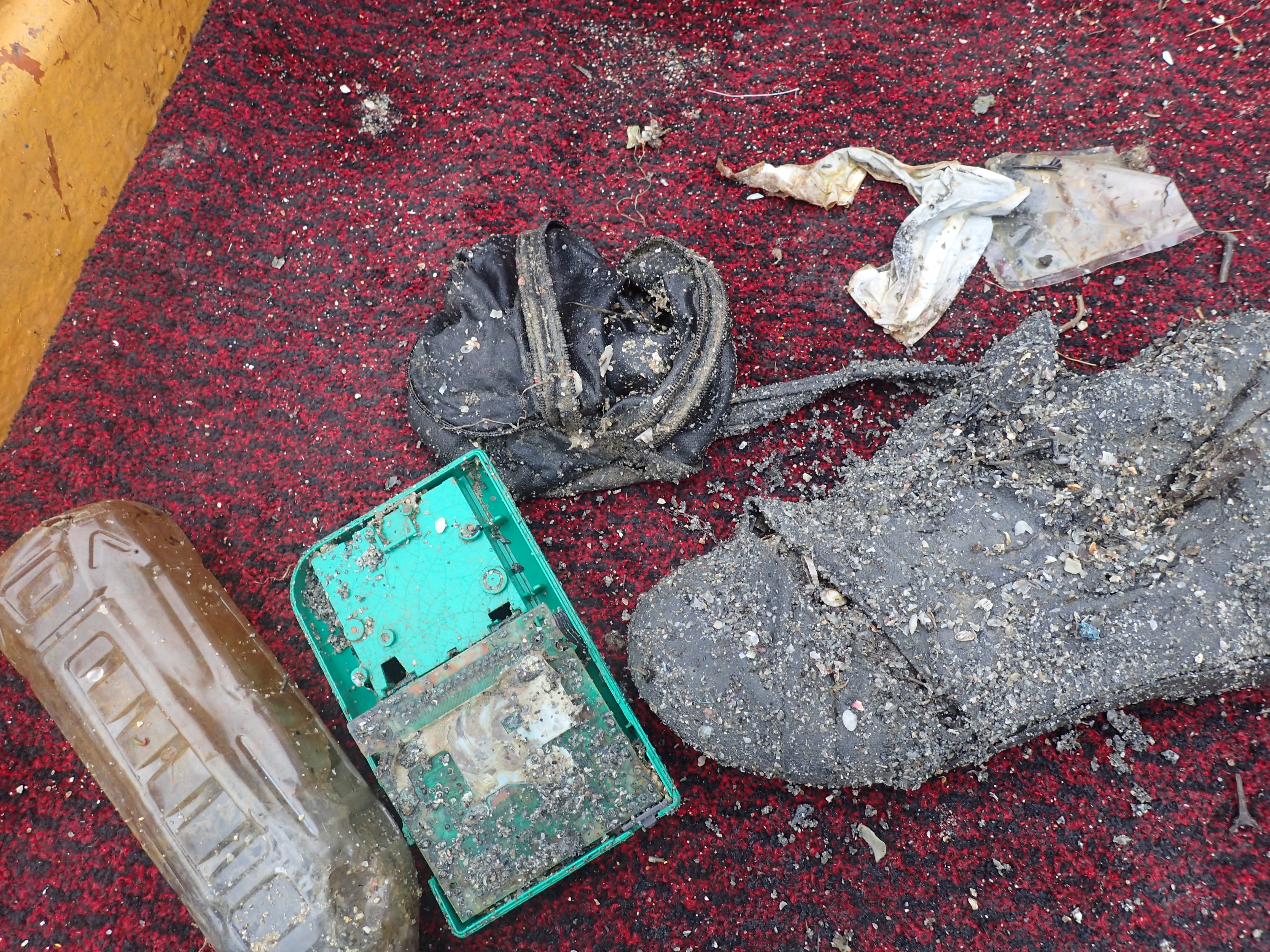
Beverage Cans
Grocery Bags
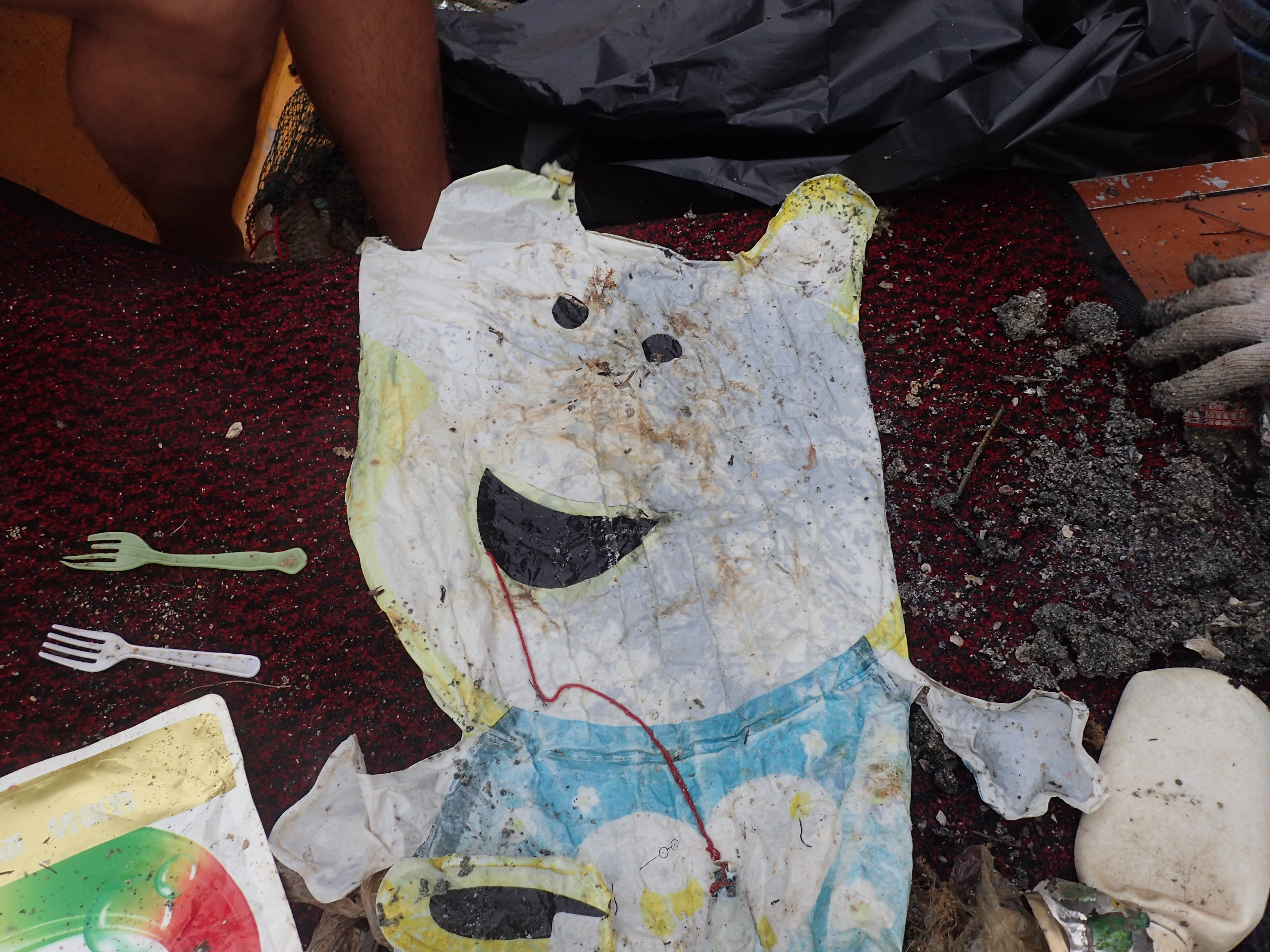
Plastics
On
pounds
I have debris data to report
8
Calm (glassy to rippled) for waves 0 – 0.1 meter high
1
1
ft2
feet
other
6
1
5
1
10
1
State\Province
Manitoba
City
Winnipeg
Map Help
Dive Location
If you know your survey site coordinates, enter them manually in decimal degrees using WGS84 Map Datum. Use the minus sign for latitudes south of the equator and longitudes west of the Prime Meridian to 180 degrees.
If you do not know your survey site coordinates, click the “Map Location” tab to use the map to zoom into your survey site and drop the pin on the map to fall within your survey dive site in the water (not on land or the beach). Ensure you zoom in as much as possible to ensure data accuracy.
Entangled Help
Use the vertical tabs below to record any entangled animals you found of each type.
Ecosystem Other
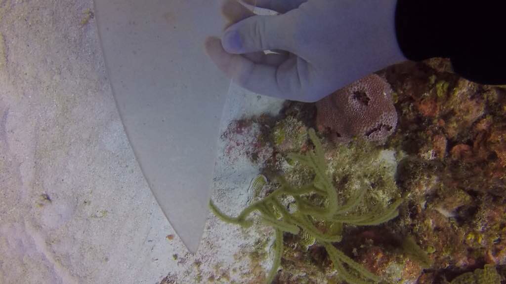
Fresh Water Lake