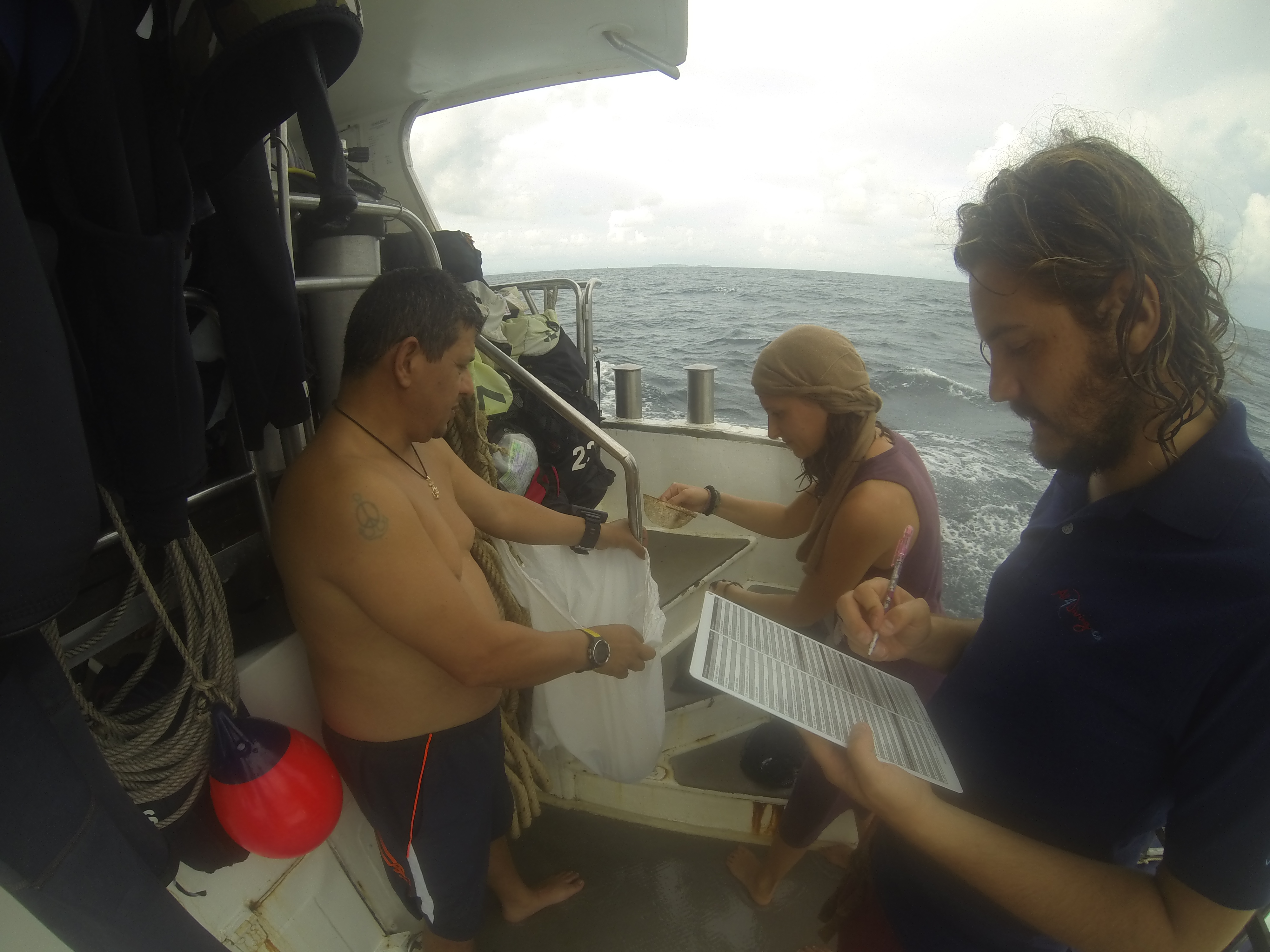
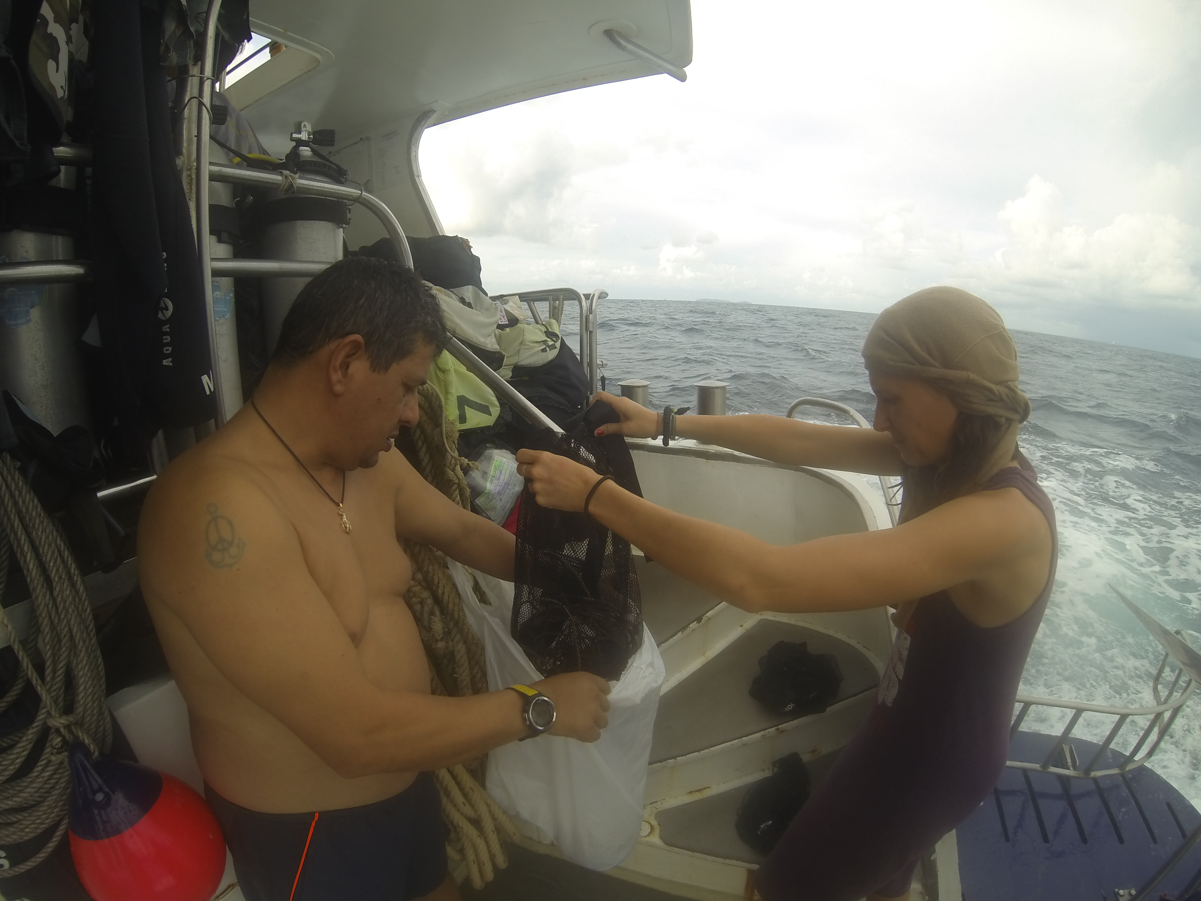
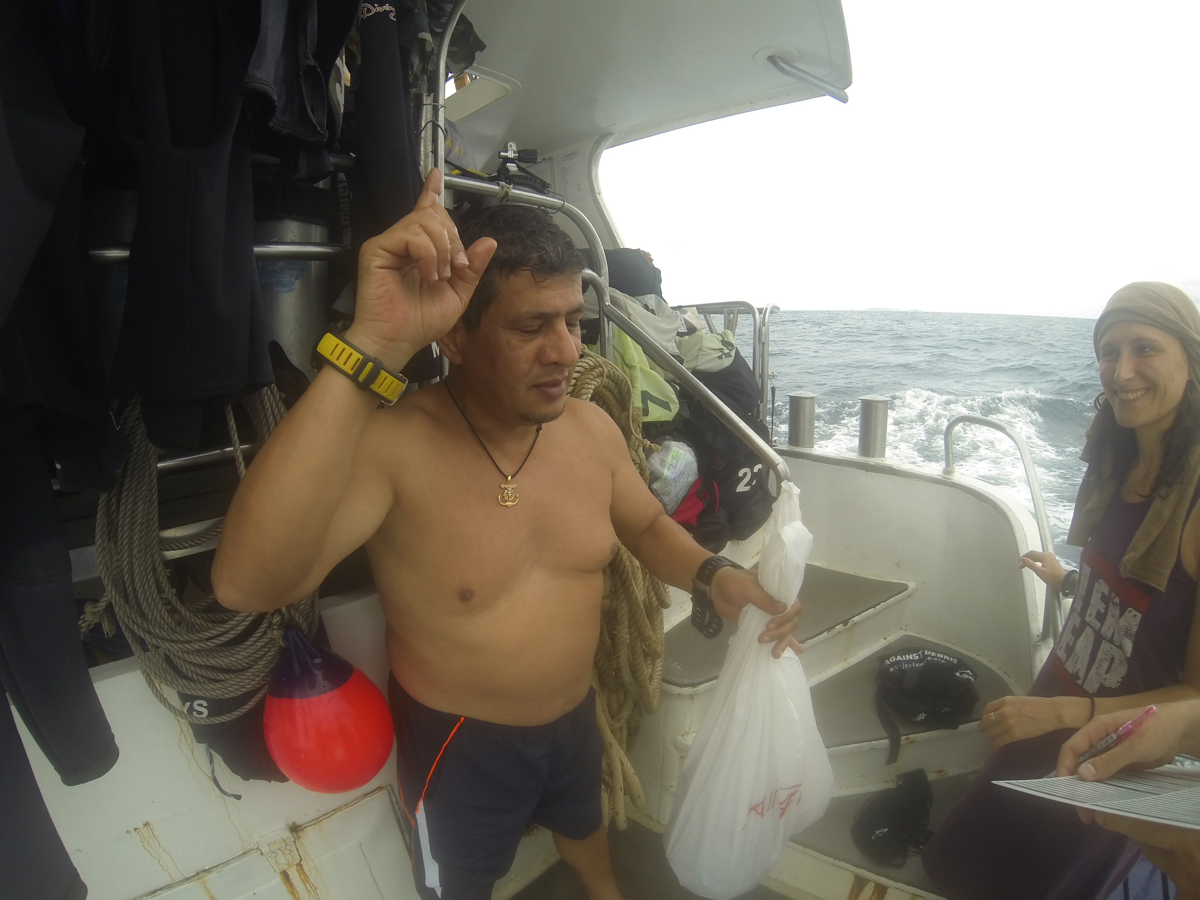
ADS127 - Muka Kampung Bunaken Island
1
1.593708, 124.777075
11
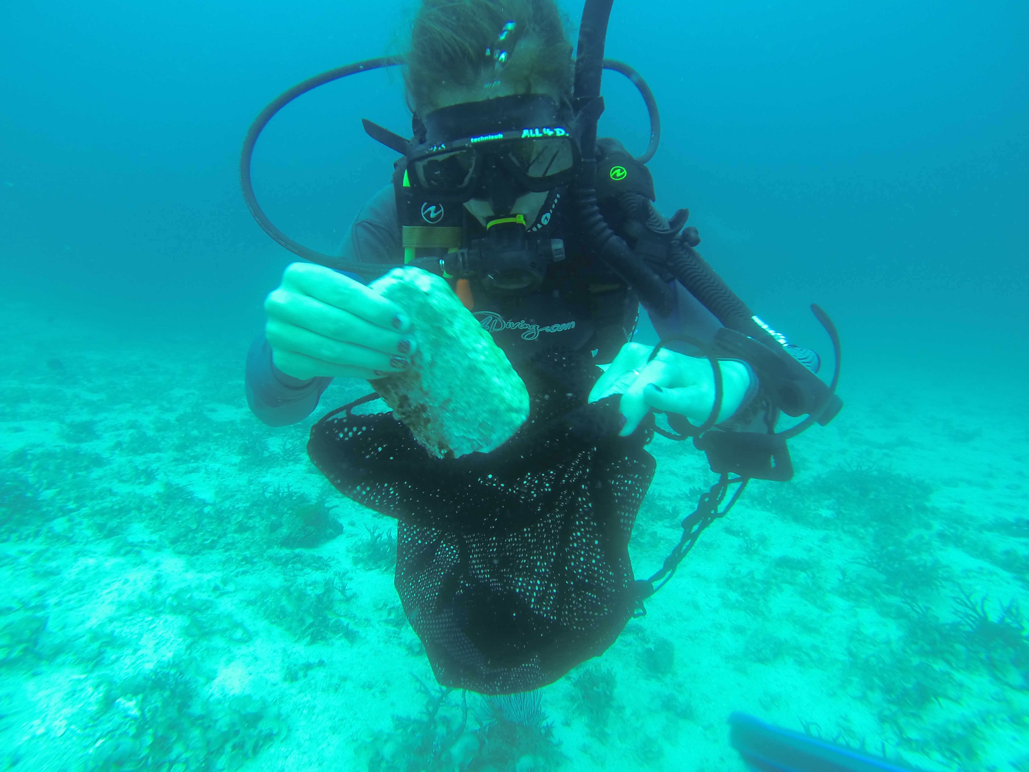
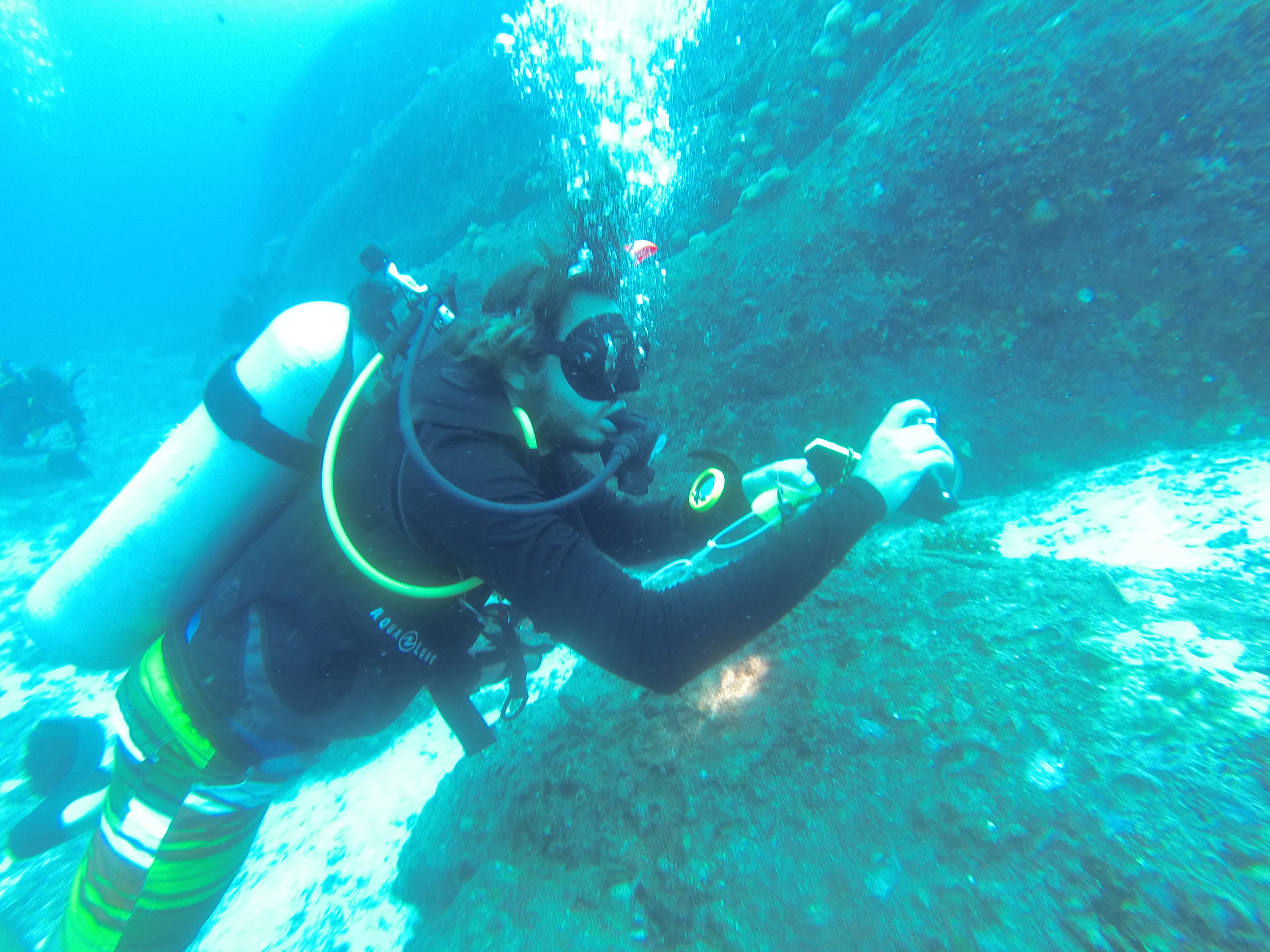
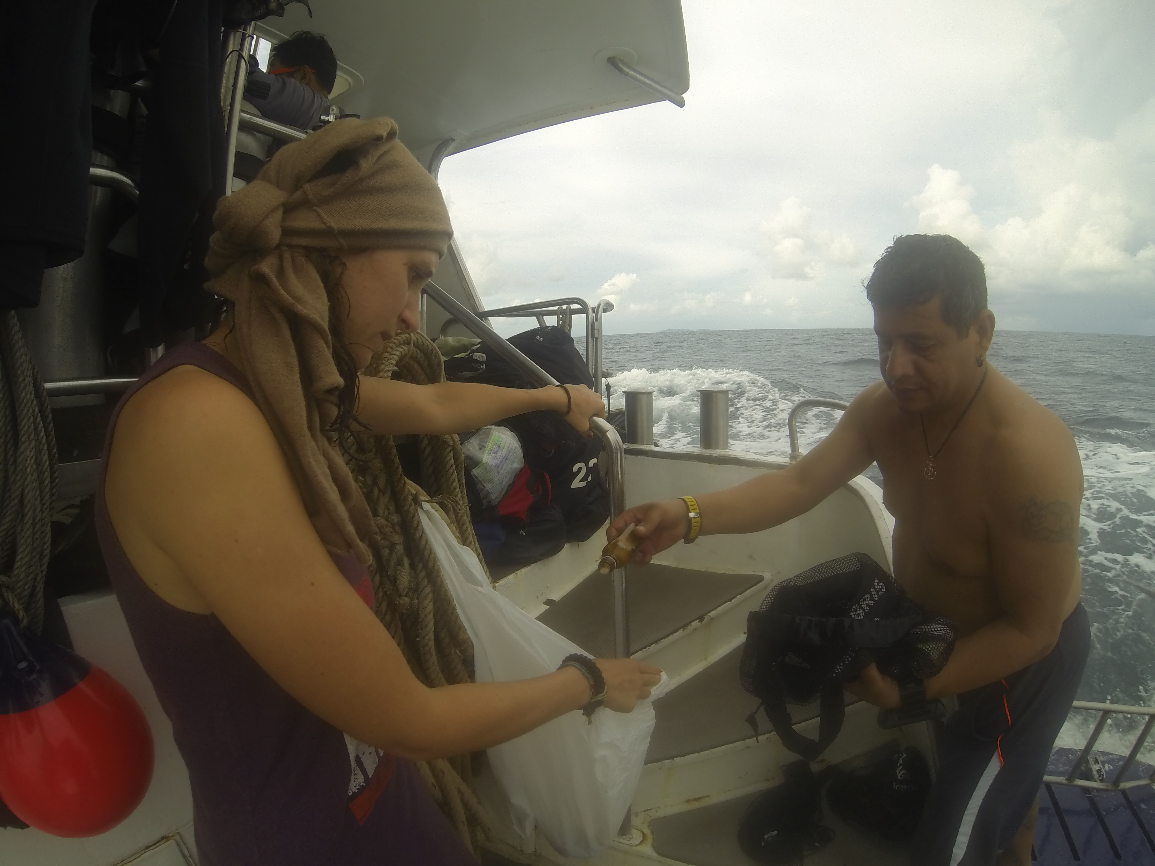
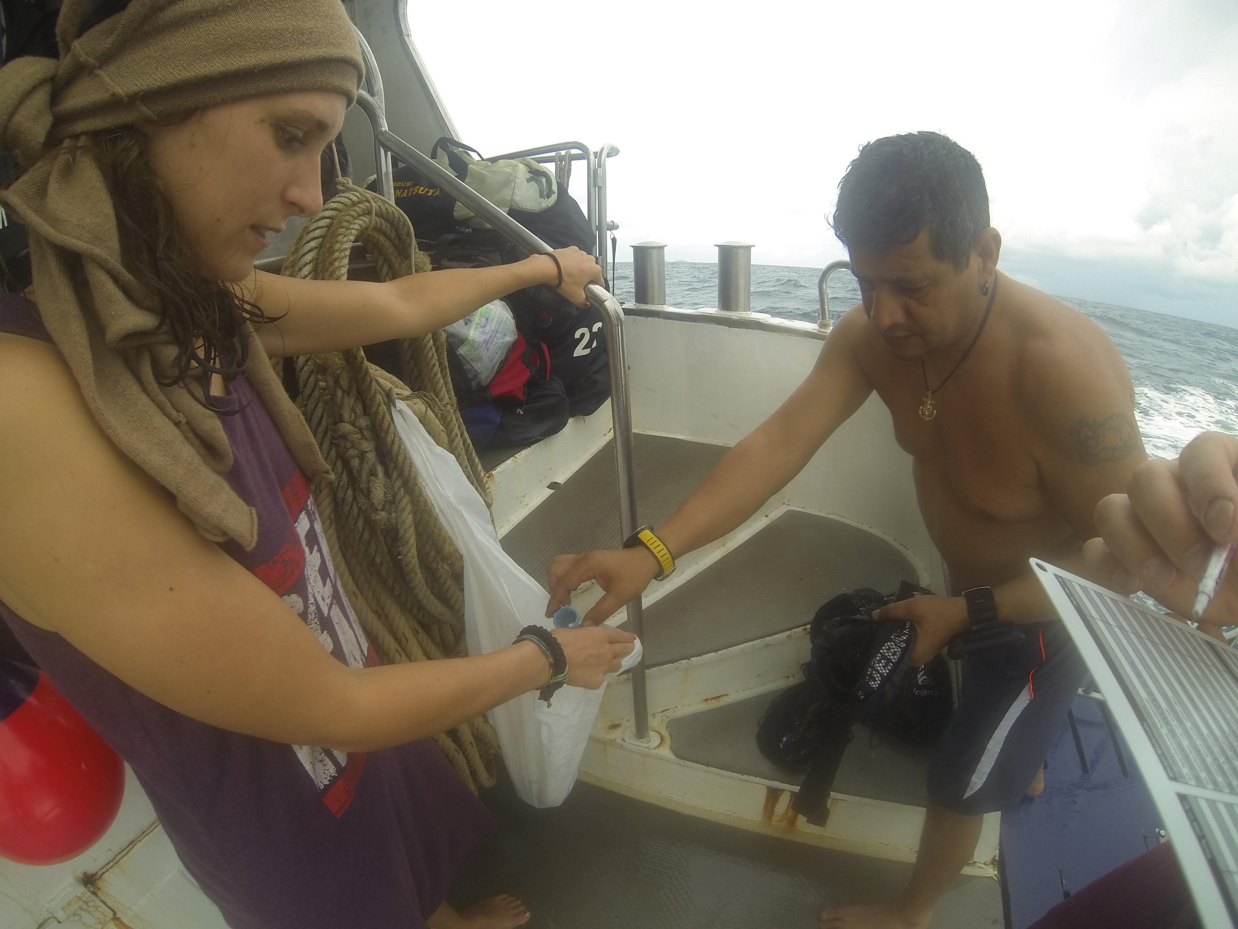
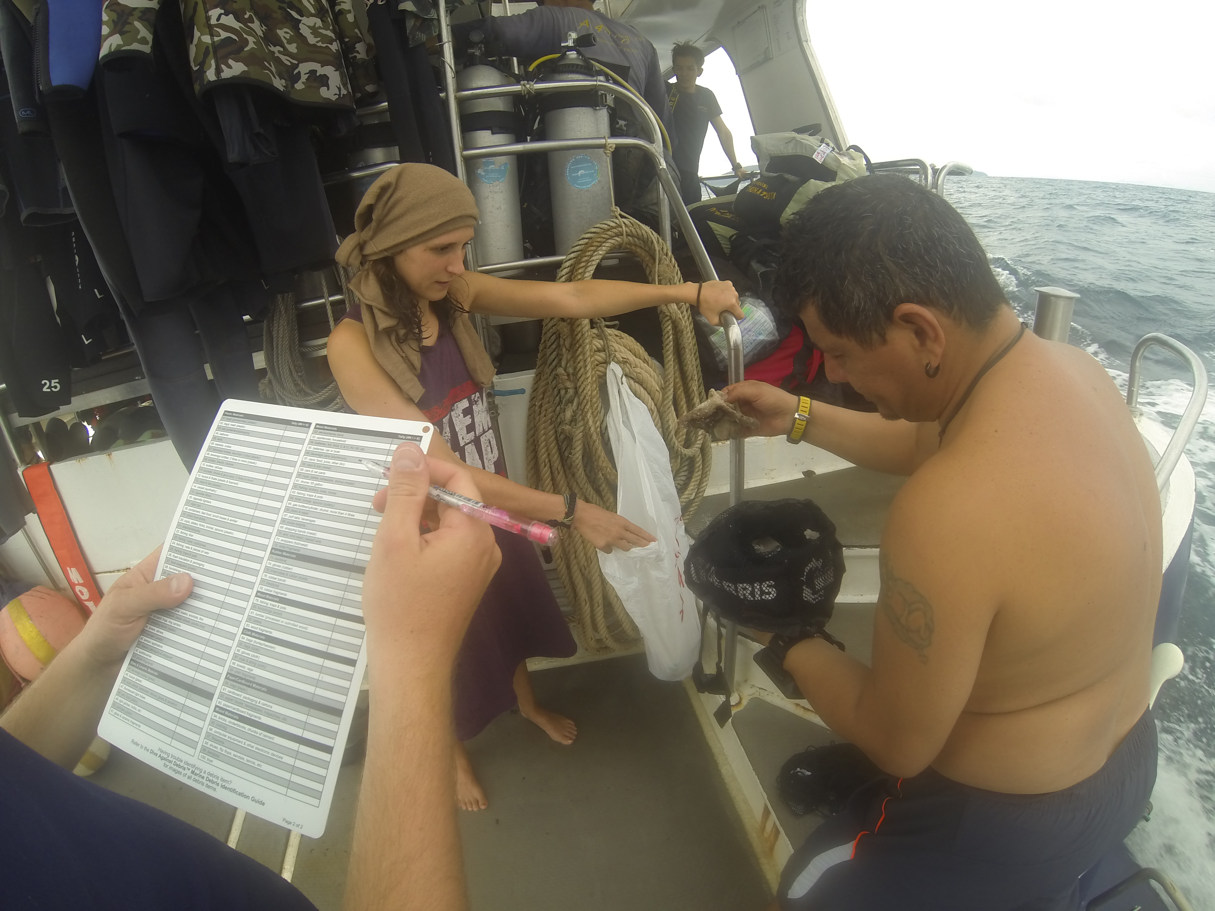
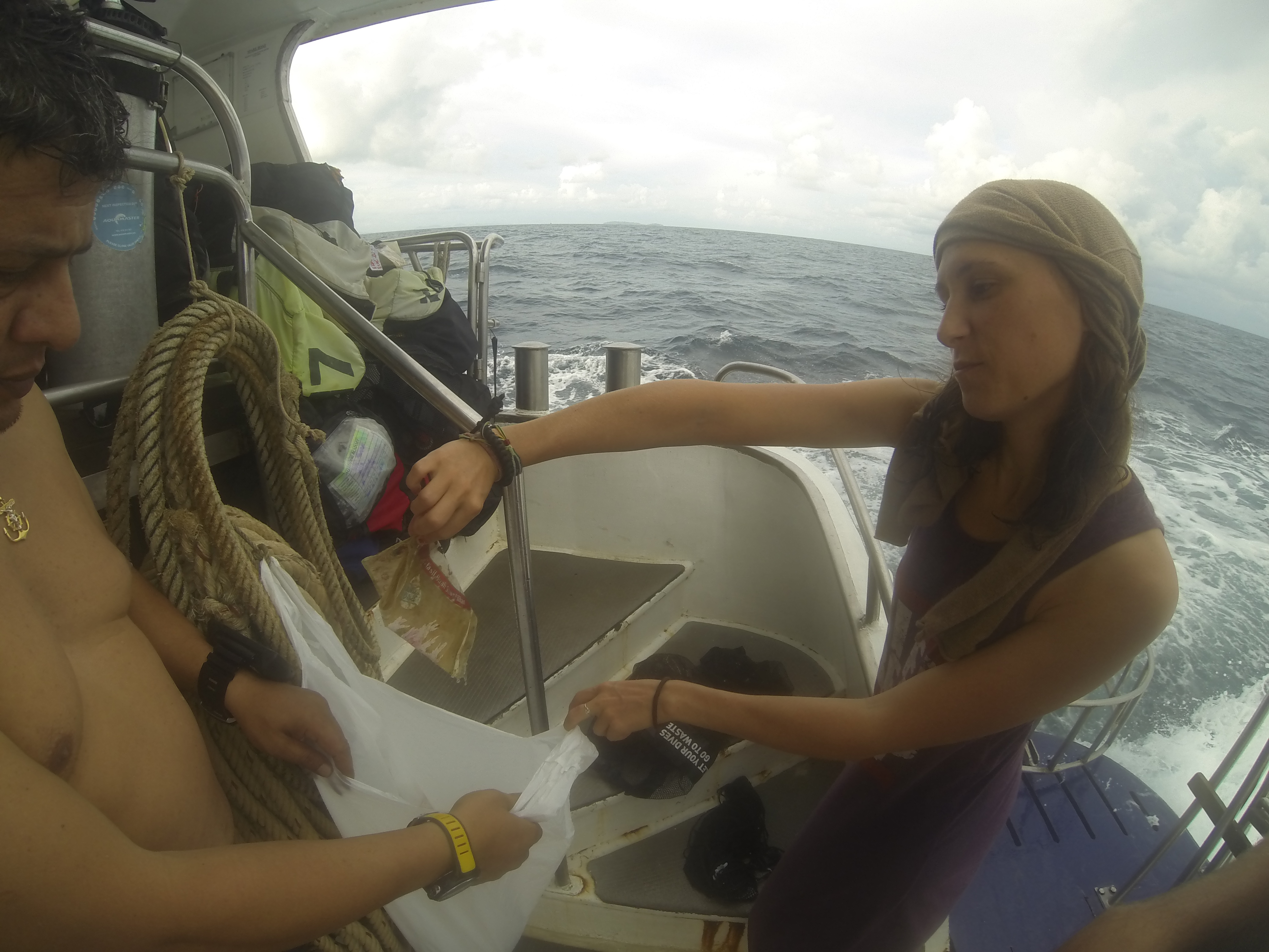
the divesite is still in good condition the currents just always sweep in new debris
the current which pushed the debris towards the island. wind which pushed debris off the island
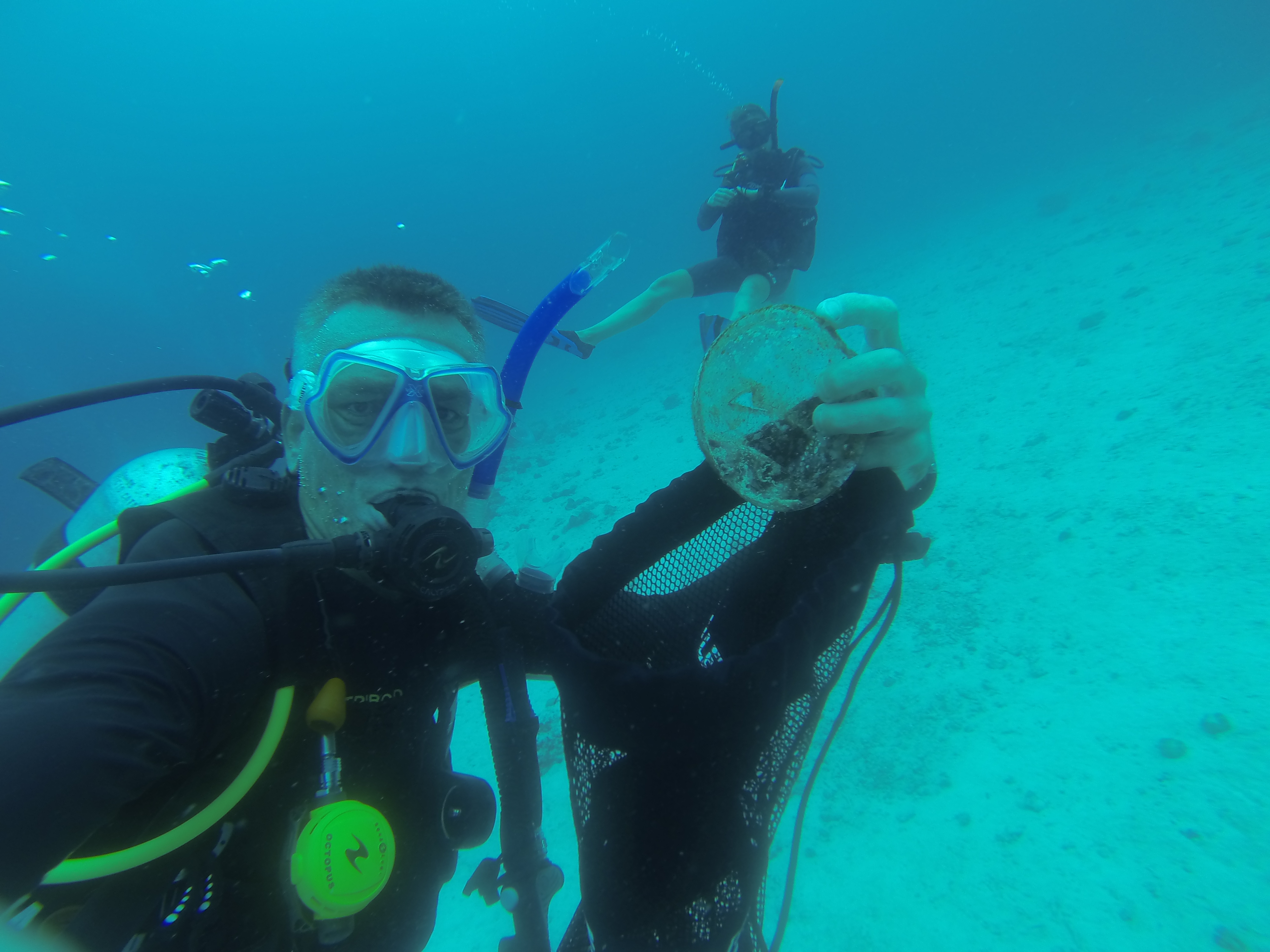
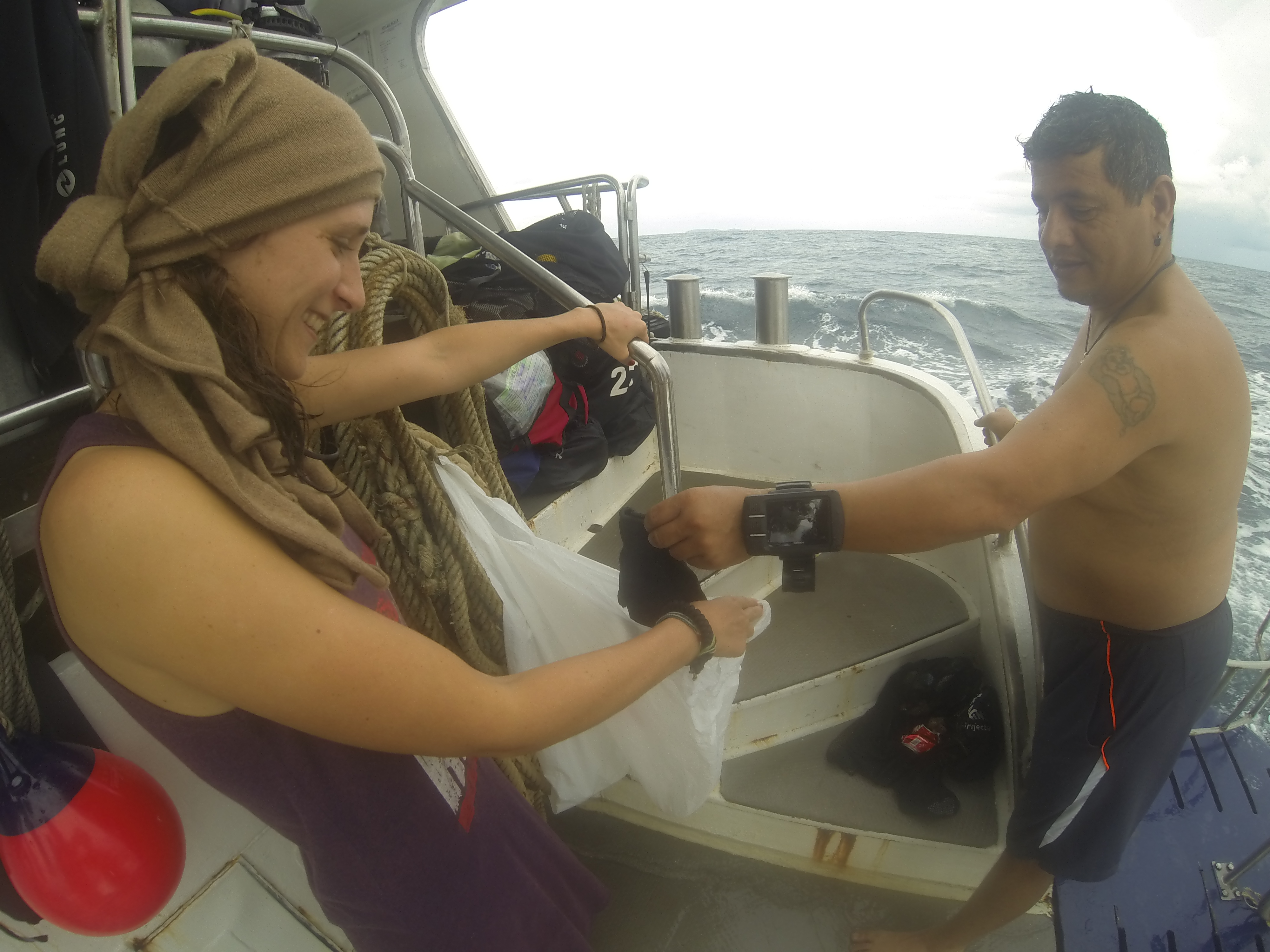
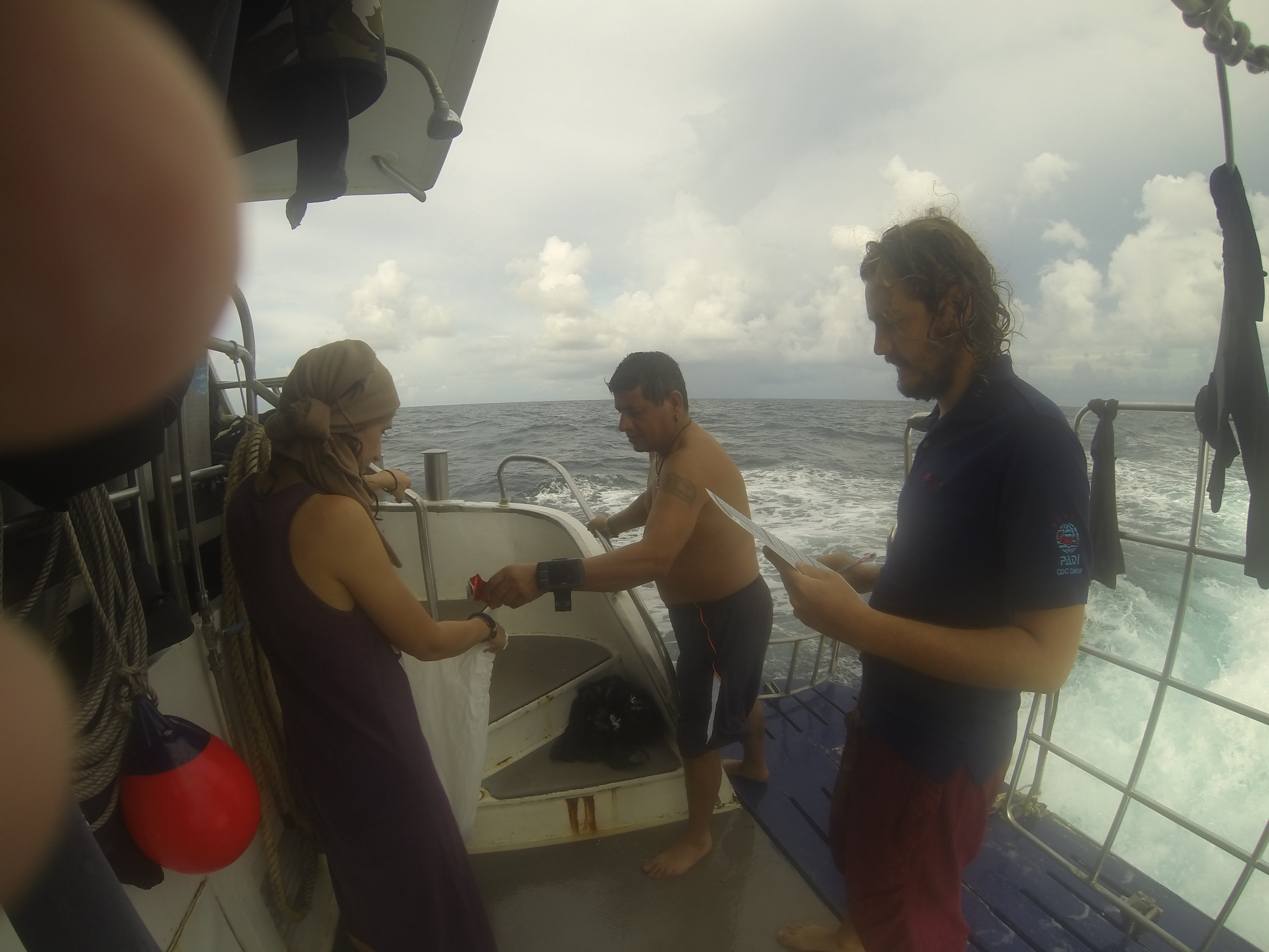
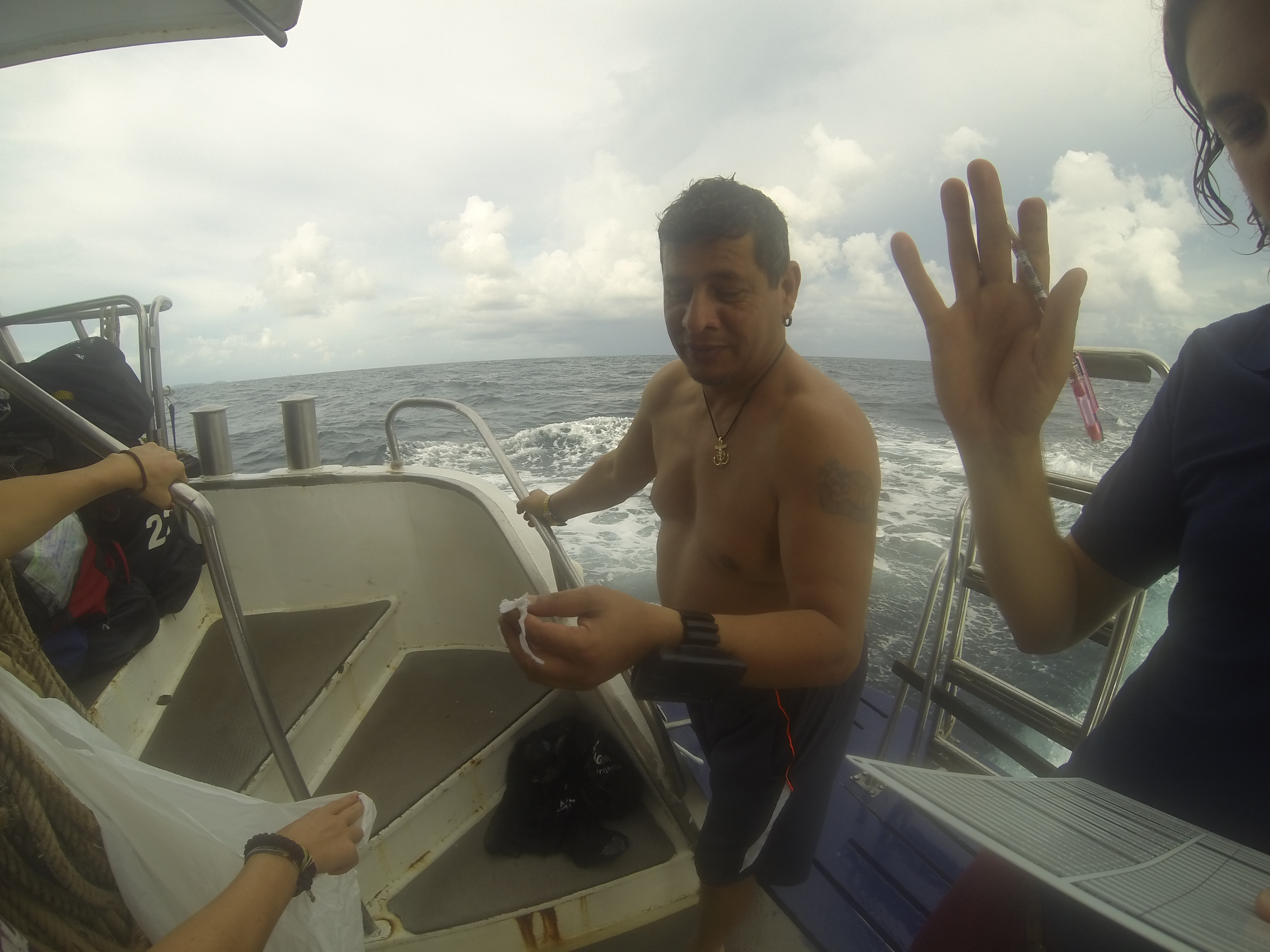
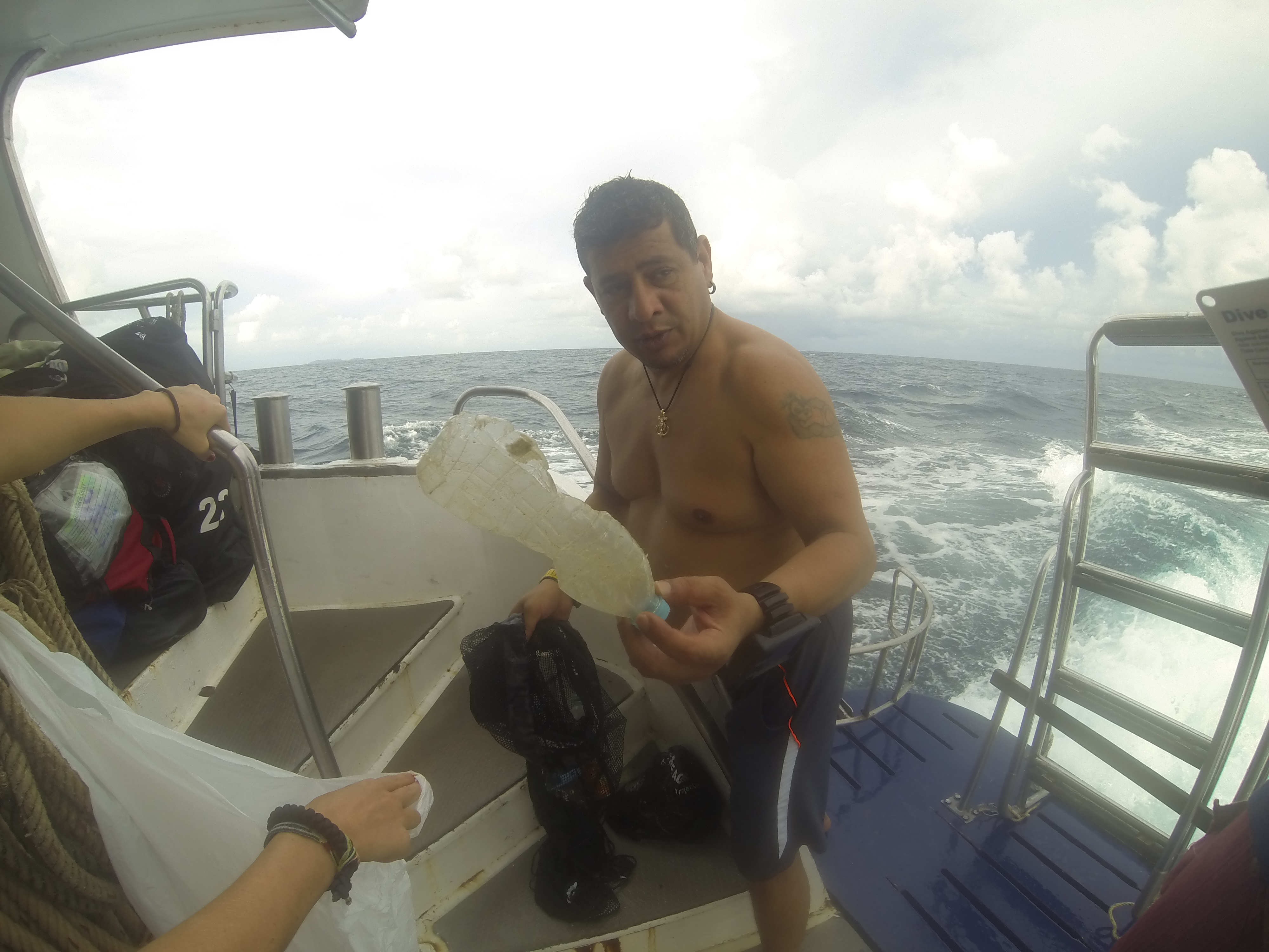
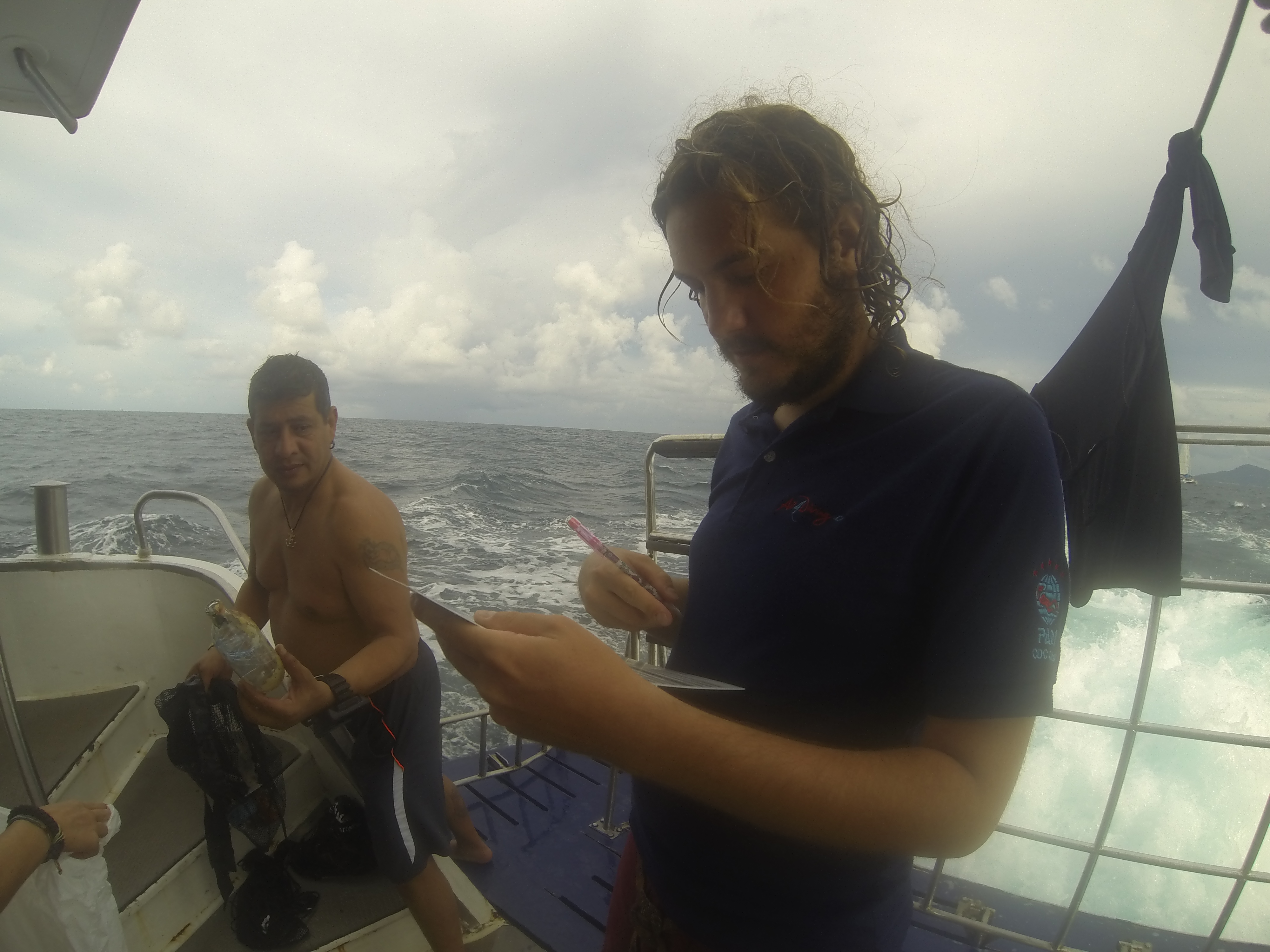
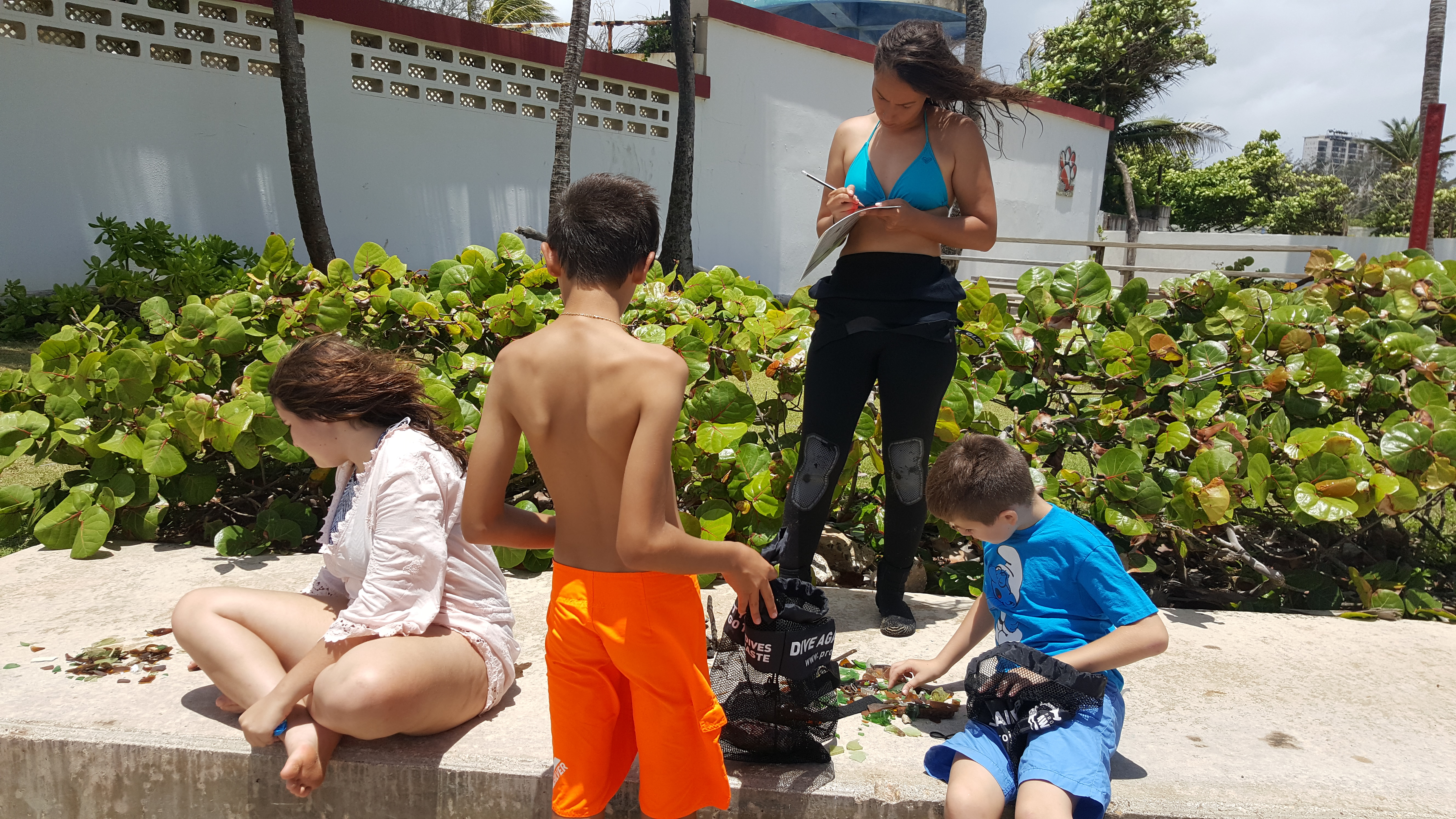
All our guests enjoyed to give something back to nature
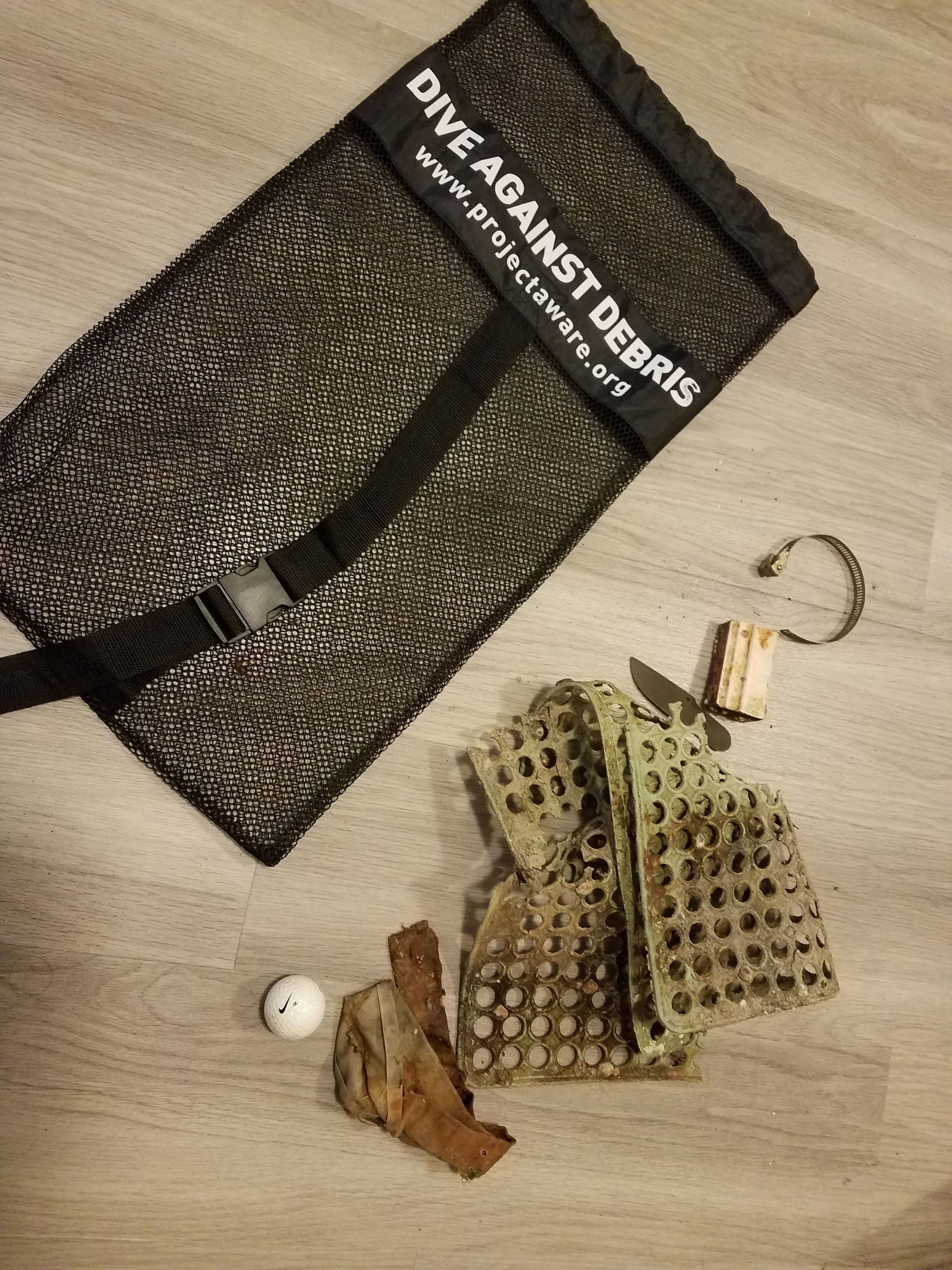
handbag
for dry season it was raining quite a lot. normal calm sea conditions
Two Fish Divers, Bunaken
Eka Yayan
73
4
6
10
110
57
20.00
35
20.00
3.00
4
measured
900.00
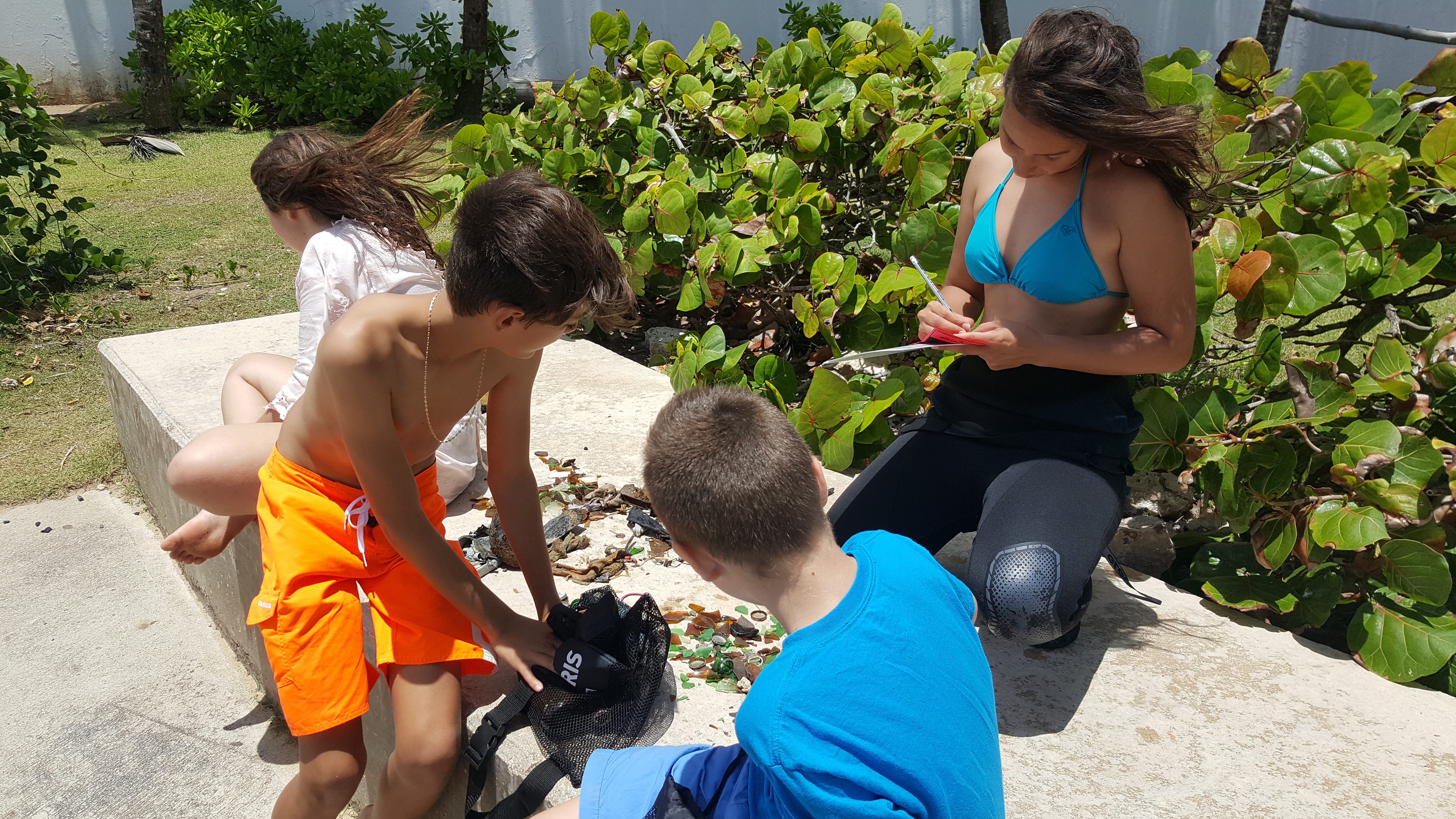
plastic bags
ropes
diapers
On
kilograms
I have debris data to report
Calm (glassy to rippled) for waves 0 – 0.1 meter high
0
0
1
2
m2

meters
coral reef
State\Province
North Sulawesi
City
Bunaken Island
Map Help
Dive Location
If you know your survey site coordinates, enter them manually in decimal degrees using WGS84 Map Datum. Use the minus sign for latitudes south of the equator and longitudes west of the Prime Meridian to 180 degrees.
If you do not know your survey site coordinates, click the “Map Location” tab to use the map to zoom into your survey site and drop the pin on the map to fall within your survey dive site in the water (not on land or the beach). Ensure you zoom in as much as possible to ensure data accuracy.
Entangled Help