ADS313 - Turtle Rock
-19.98941, 57.57147
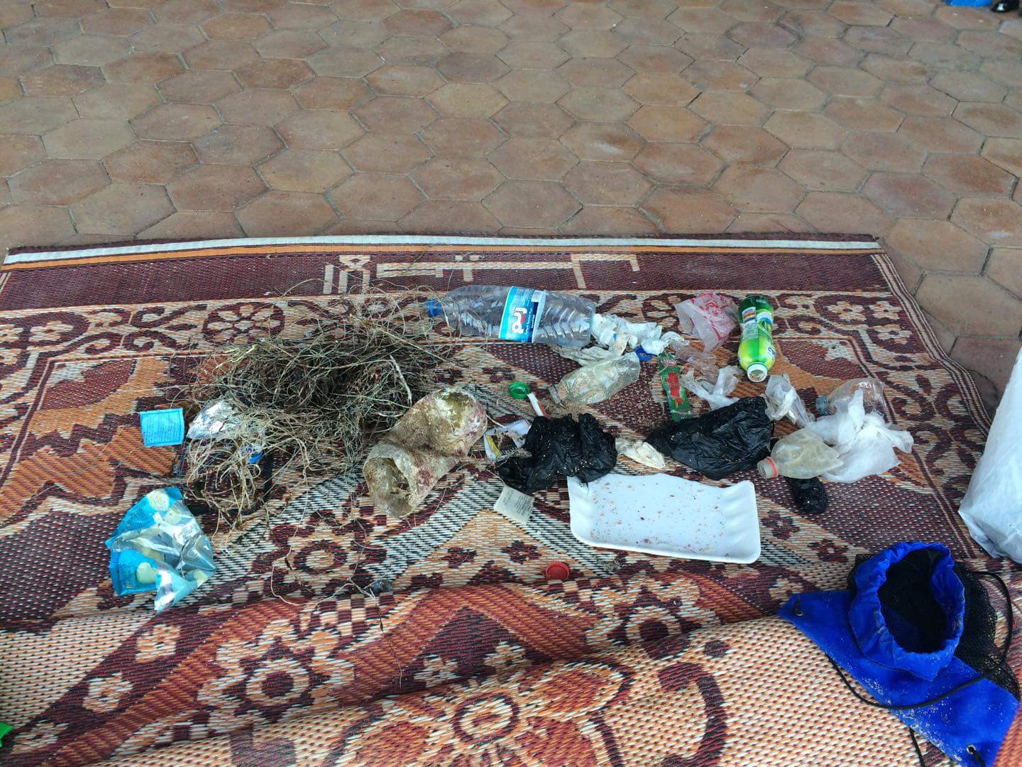
We collected a sample of an unknown fungus to be tested by the laboratory
Waves between 1.5m and 3m
Ocean Spirit
Menon Moorghen
6
0.00
60
17.00
10.00
measured
50.00
On
kilograms
Our Survey Site was free of debris
Moderate to rough for waves greater than 1.25 meters
m2


meters
rocky reef
State\Province
Riviere du Rempart
City
Pereybere
Map Help
Dive Location
If you know your survey site coordinates, enter them manually in decimal degrees using WGS84 Map Datum. Use the minus sign for latitudes south of the equator and longitudes west of the Prime Meridian to 180 degrees.
If you do not know your survey site coordinates, click the “Map Location” tab to use the map to zoom into your survey site and drop the pin on the map to fall within your survey dive site in the water (not on land or the beach). Ensure you zoom in as much as possible to ensure data accuracy.
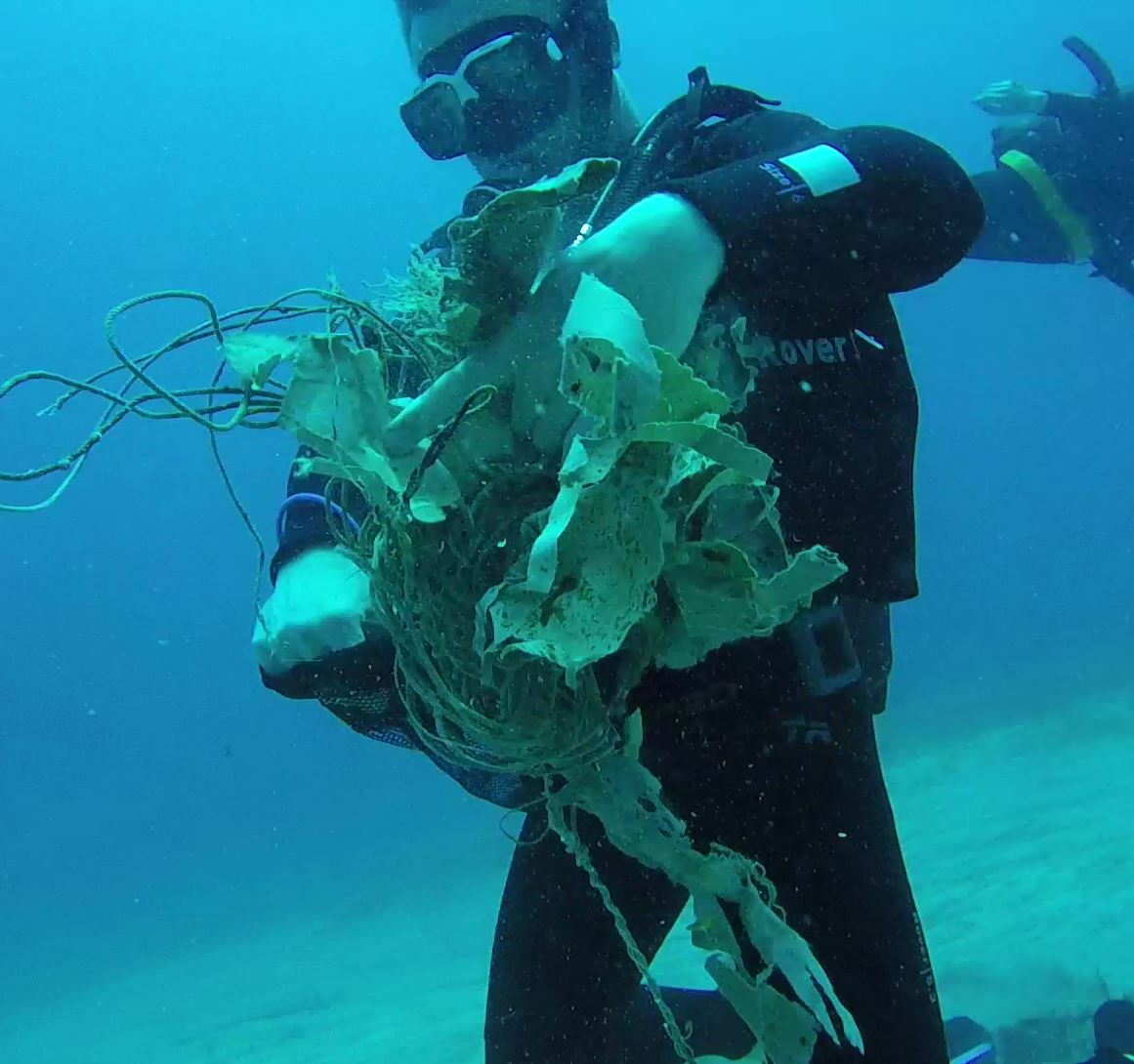
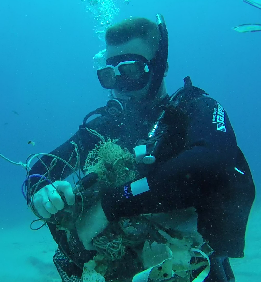
Entangled Help