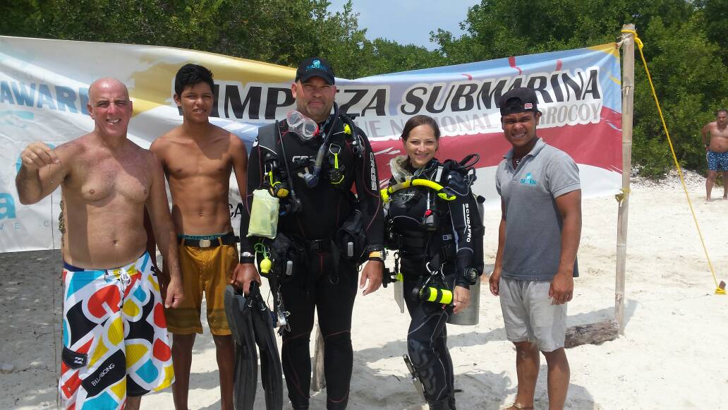
Cayo Pescadores
10.8711111, -68.2127778

Dive Location
If you know your survey site coordinates, enter them manually in decimal degrees using WGS84 Map Datum. Use the minus sign for latitudes south of the equator and longitudes west of the Prime Meridian to 180 degrees.
If you do not know your survey site coordinates, click the “Map Location” tab to use the map to zoom into your survey site and drop the pin on the map to fall within your survey dive site in the water (not on land or the beach). Ensure you zoom in as much as possible to ensure data accuracy.
Use the vertical tabs below to record any entangled animals you found of each type.
Perch Lake WI
45.053408, -92.697686
Dive Location
If you know your survey site coordinates, enter them manually in decimal degrees using WGS84 Map Datum. Use the minus sign for latitudes south of the equator and longitudes west of the Prime Meridian to 180 degrees.
If you do not know your survey site coordinates, click the “Map Location” tab to use the map to zoom into your survey site and drop the pin on the map to fall within your survey dive site in the water (not on land or the beach). Ensure you zoom in as much as possible to ensure data accuracy.
Use the vertical tabs below to record any entangled animals you found of each type.
The Next Wave Submission 1496003687
Anonymous
Disclaimer: The views, actions and activities posted by participants on My Ocean are their own and do not necessarily reflect those of PADI AWARE Foundation.
-
My Ocean Community
The Next Wave Submission 1496001158
Anonymous
Disclaimer: The views, actions and activities posted by participants on My Ocean are their own and do not necessarily reflect those of PADI AWARE Foundation.
-
My Ocean Community
ADS43 - House Reef of Kontiki Mactan
10.282194, 123.999167
27.6648274, -81.5157535


Dive Location
If you know your survey site coordinates, enter them manually in decimal degrees using WGS84 Map Datum. Use the minus sign for latitudes south of the equator and longitudes west of the Prime Meridian to 180 degrees.
If you do not know your survey site coordinates, click the “Map Location” tab to use the map to zoom into your survey site and drop the pin on the map to fall within your survey dive site in the water (not on land or the beach). Ensure you zoom in as much as possible to ensure data accuracy.
Use the vertical tabs below to record any entangled animals you found of each type.
ADS272 - Skår Gullmarn
58.297812, 11.531132
Dive Location
If you know your survey site coordinates, enter them manually in decimal degrees using WGS84 Map Datum. Use the minus sign for latitudes south of the equator and longitudes west of the Prime Meridian to 180 degrees.
If you do not know your survey site coordinates, click the “Map Location” tab to use the map to zoom into your survey site and drop the pin on the map to fall within your survey dive site in the water (not on land or the beach). Ensure you zoom in as much as possible to ensure data accuracy.
Use the vertical tabs below to record any entangled animals you found of each type.
The Next Wave Submission 1495988169
Anonymous
Disclaimer: The views, actions and activities posted by participants on My Ocean are their own and do not necessarily reflect those of PADI AWARE Foundation.
-
My Ocean Community
The Next Wave Submission 1495986706
Anonymous
Disclaimer: The views, actions and activities posted by participants on My Ocean are their own and do not necessarily reflect those of PADI AWARE Foundation.
-
My Ocean Community
The Next Wave Submission 1495983771
Anonymous
Disclaimer: The views, actions and activities posted by participants on My Ocean are their own and do not necessarily reflect those of PADI AWARE Foundation.
-
My Ocean Community

