Bad conditions, we did not take the camera underwater. Thank for your support.
Strong courrence, Big Waves
Latitud Scuba / Dive Center #22637
Miguel Blanco
1
4
2
1.00
65
17.00
4.00
measured
200.00
On
kilograms
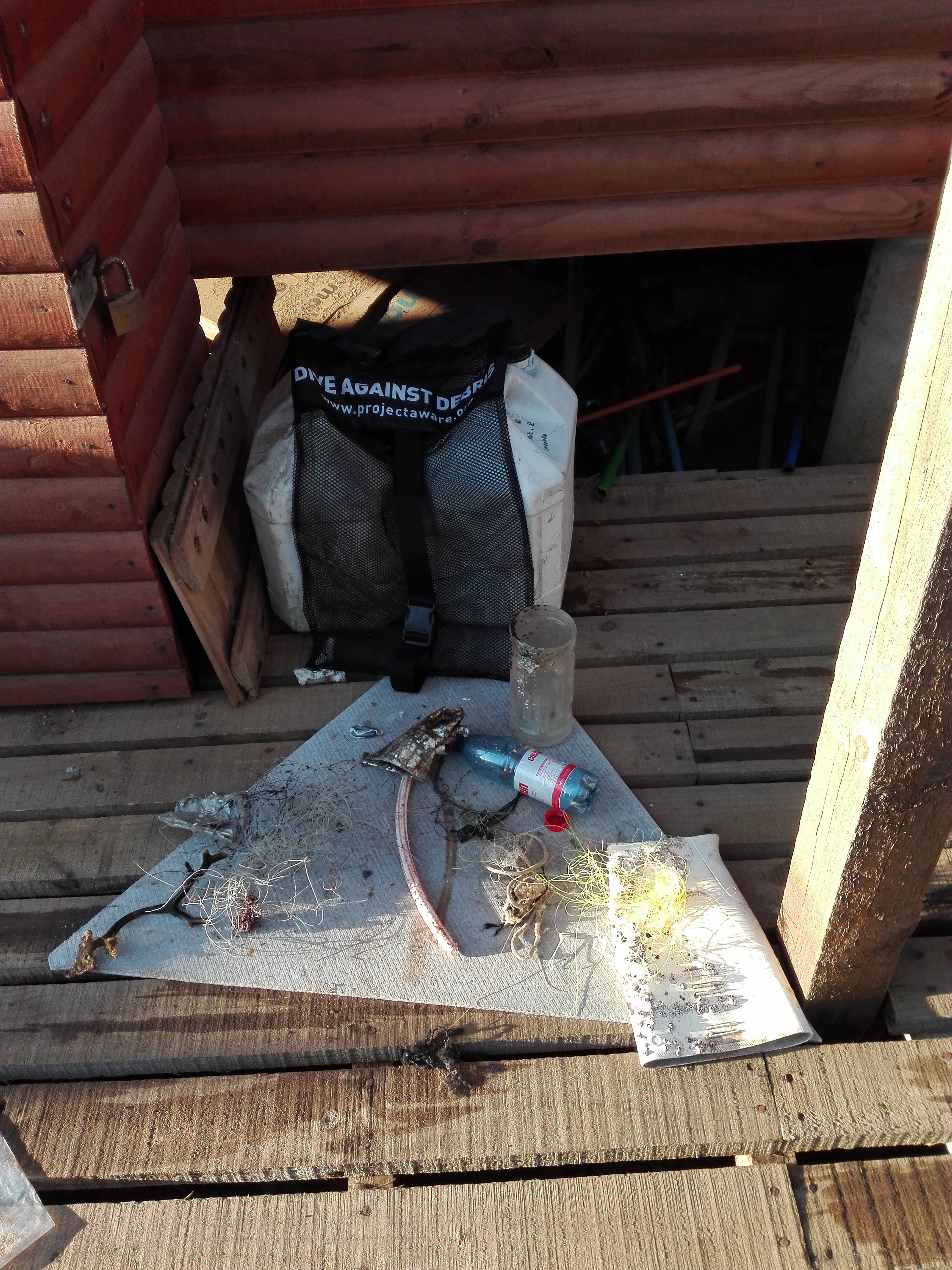
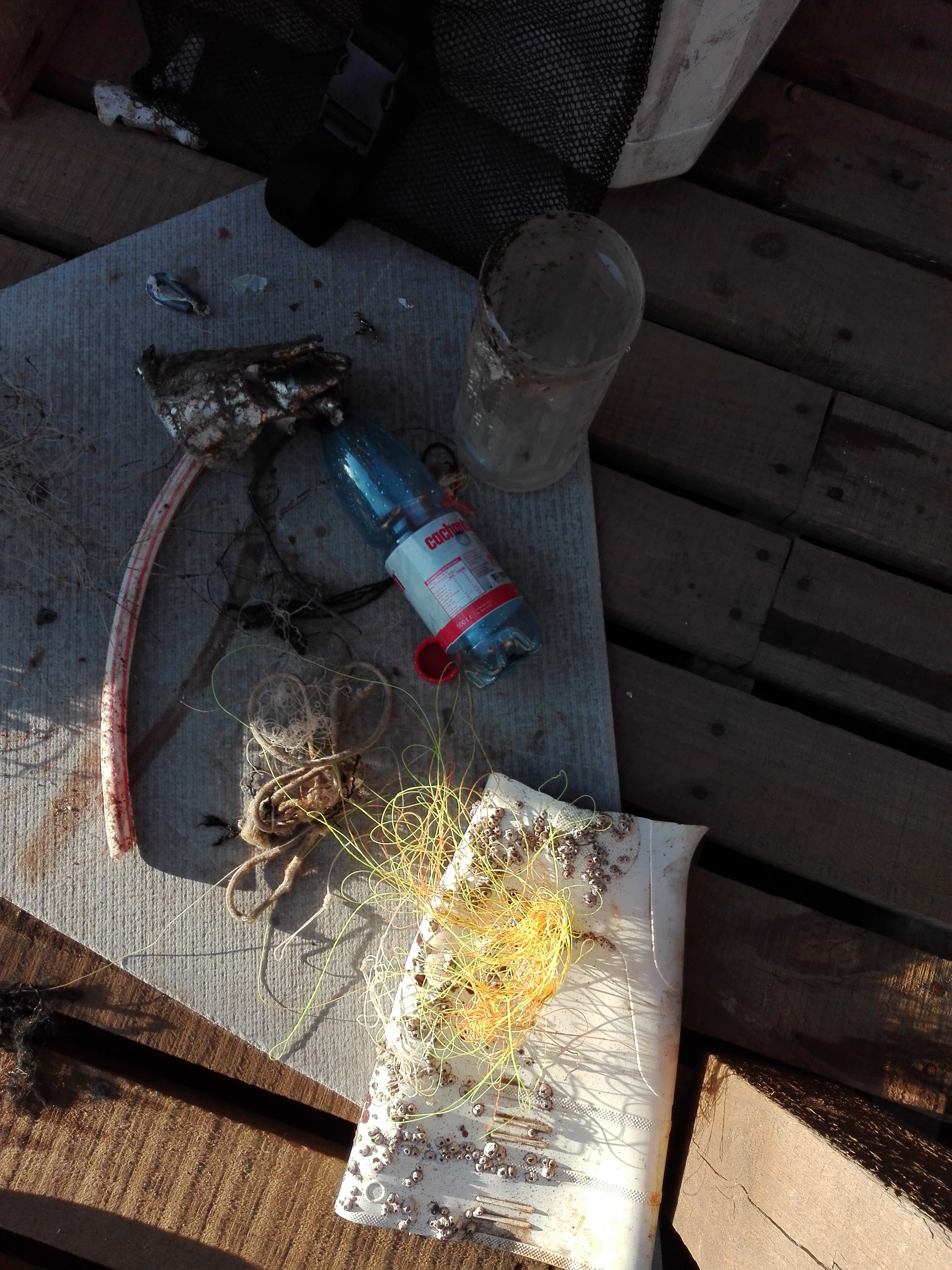
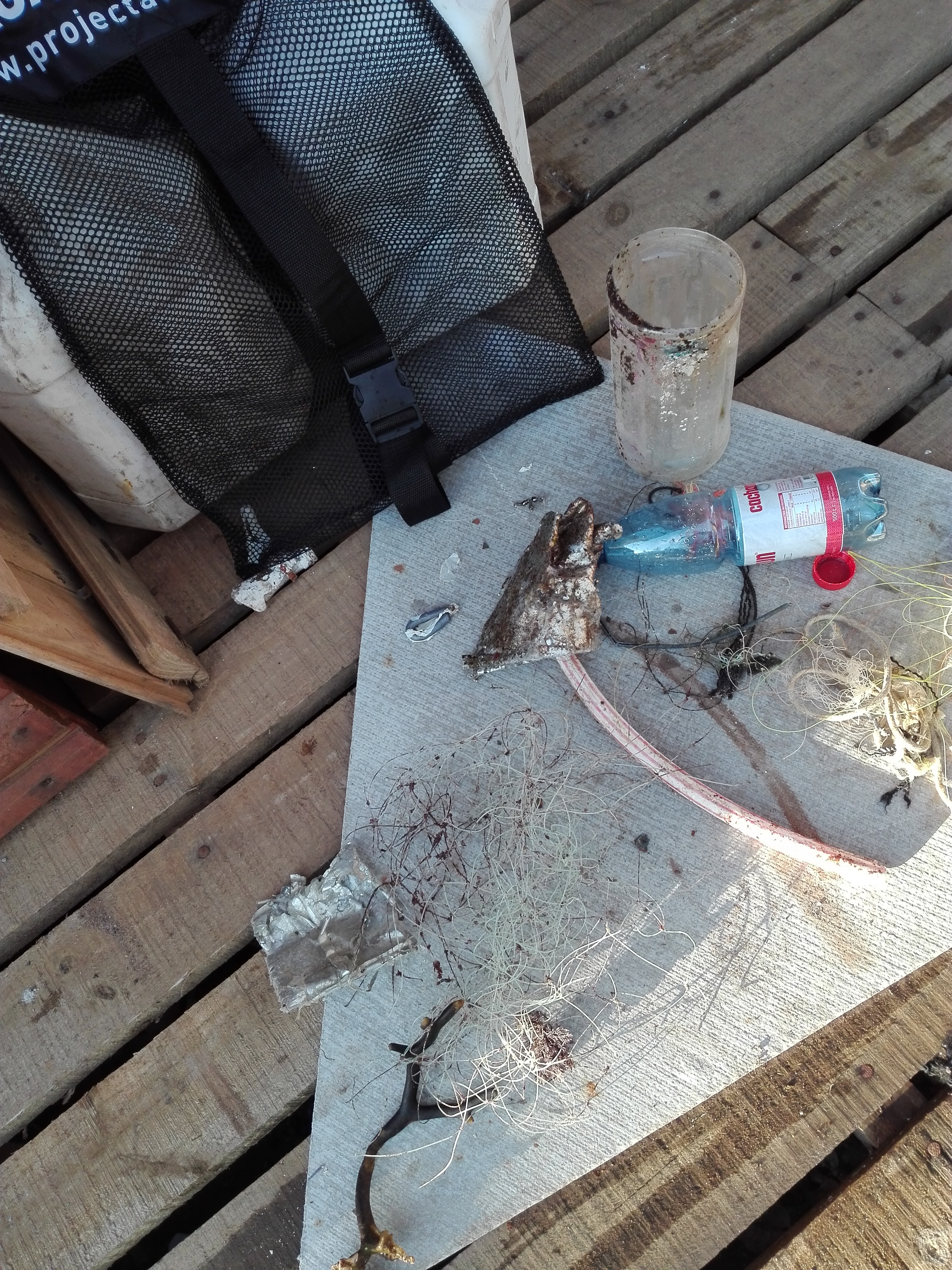
I have debris data to report
Moderate to rough for waves greater than 1.25 meters
m2
meters
rocky reef
2
Chile
State\Province
Region Metropolitana
City
Santiago
Map Help
Dive Location
If you know your survey site coordinates, enter them manually in decimal degrees using WGS84 Map Datum. Use the minus sign for latitudes south of the equator and longitudes west of the Prime Meridian to 180 degrees.
If you do not know your survey site coordinates, click the “Map Location” tab to use the map to zoom into your survey site and drop the pin on the map to fall within your survey dive site in the water (not on land or the beach). Ensure you zoom in as much as possible to ensure data accuracy.
Entangled Help
Use the vertical tabs below to record any entangled animals you found of each type.
Moderate to rough for waves greater than 1.25 meters
ft2
feet
coral reef
United States
State\Province
fl
City
key largo
Map Help
Dive Location
If you know your survey site coordinates, enter them manually in decimal degrees using WGS84 Map Datum. Use the minus sign for latitudes south of the equator and longitudes west of the Prime Meridian to 180 degrees.
If you do not know your survey site coordinates, click the “Map Location” tab to use the map to zoom into your survey site and drop the pin on the map to fall within your survey dive site in the water (not on land or the beach). Ensure you zoom in as much as possible to ensure data accuracy.
Entangled Help
Use the vertical tabs below to record any entangled animals you found of each type.