ADS281 - Little Bight
3
sand
1
3
12
16.079662067050474, -86.93008576054126
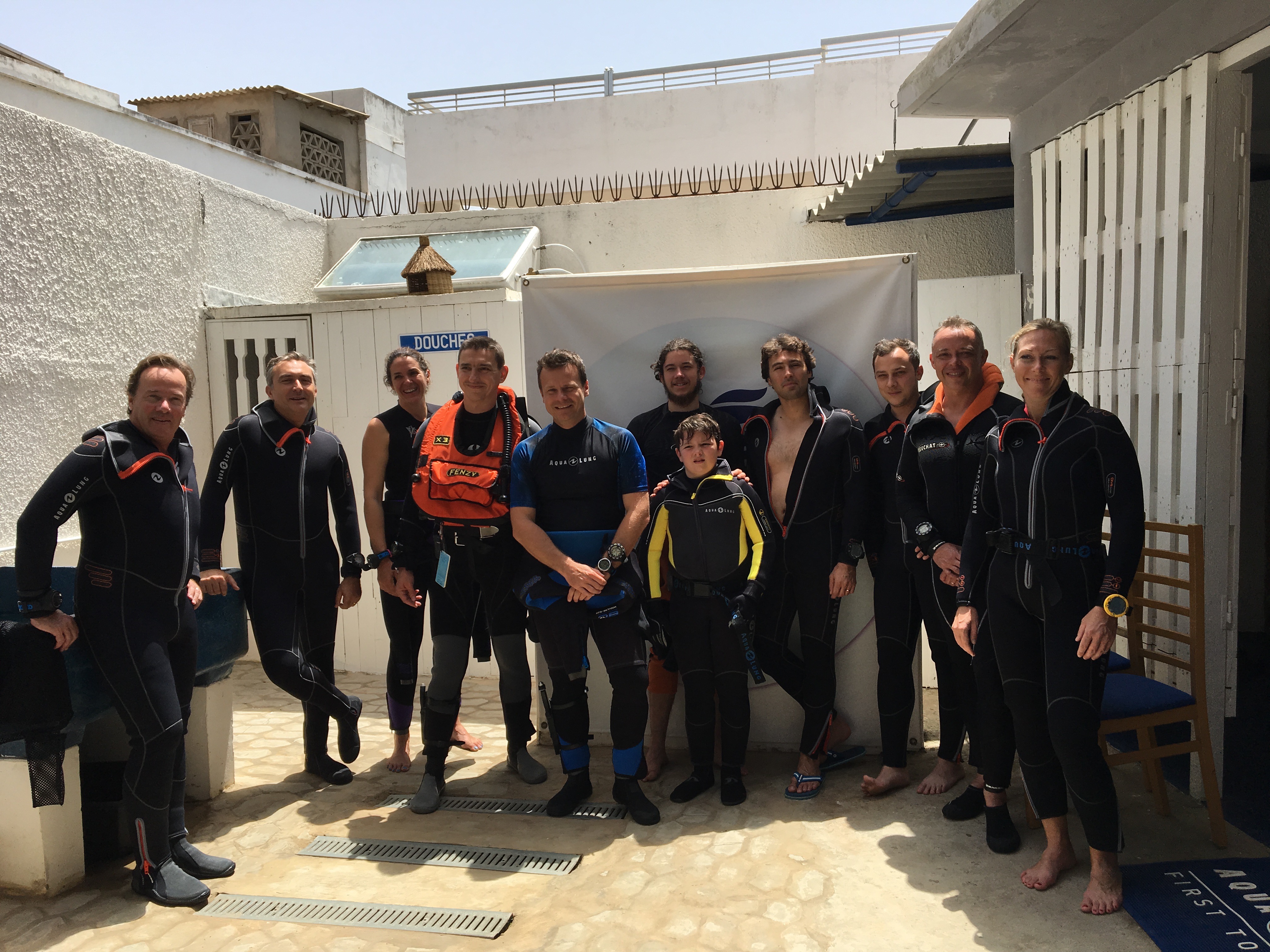
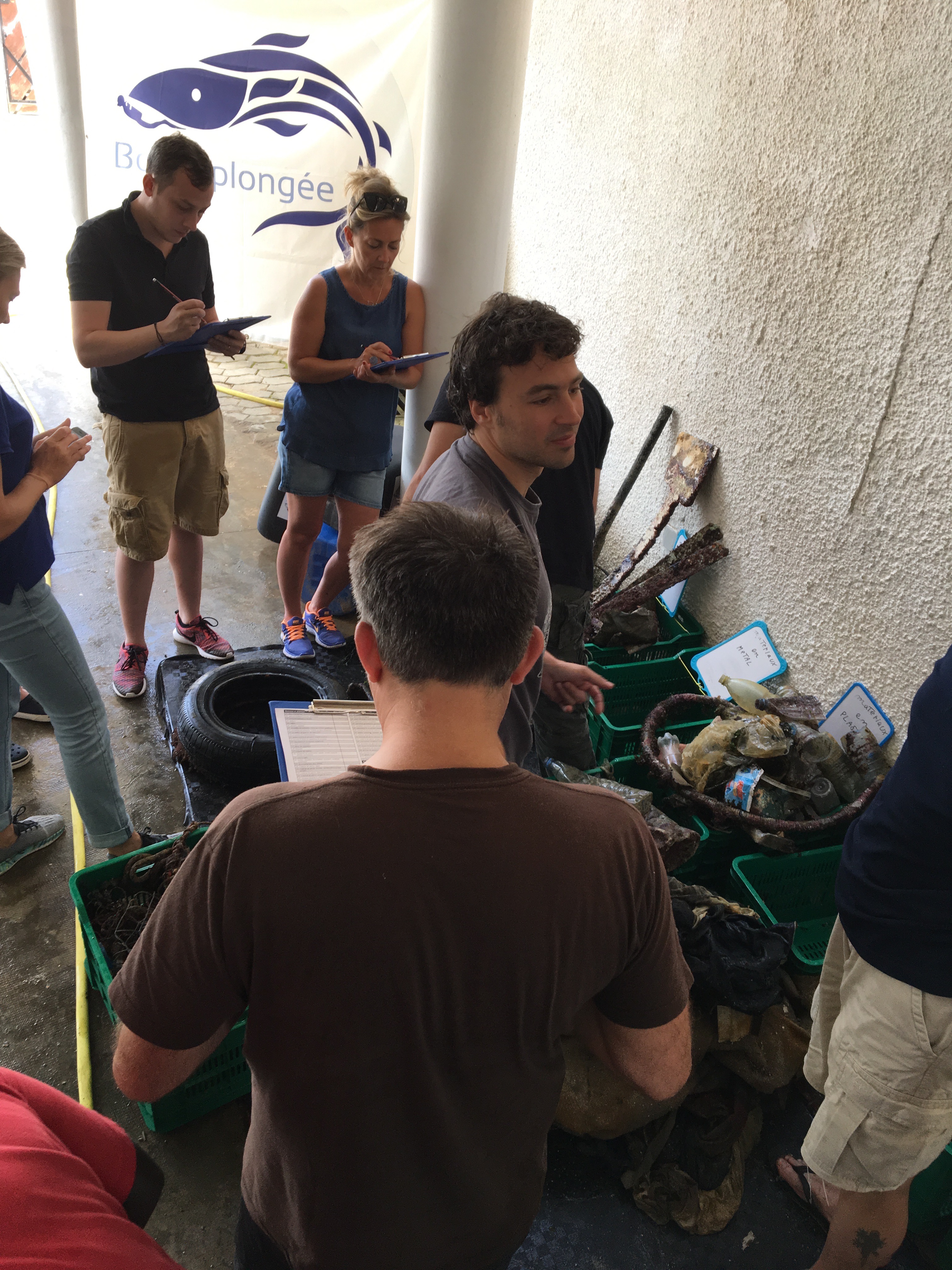
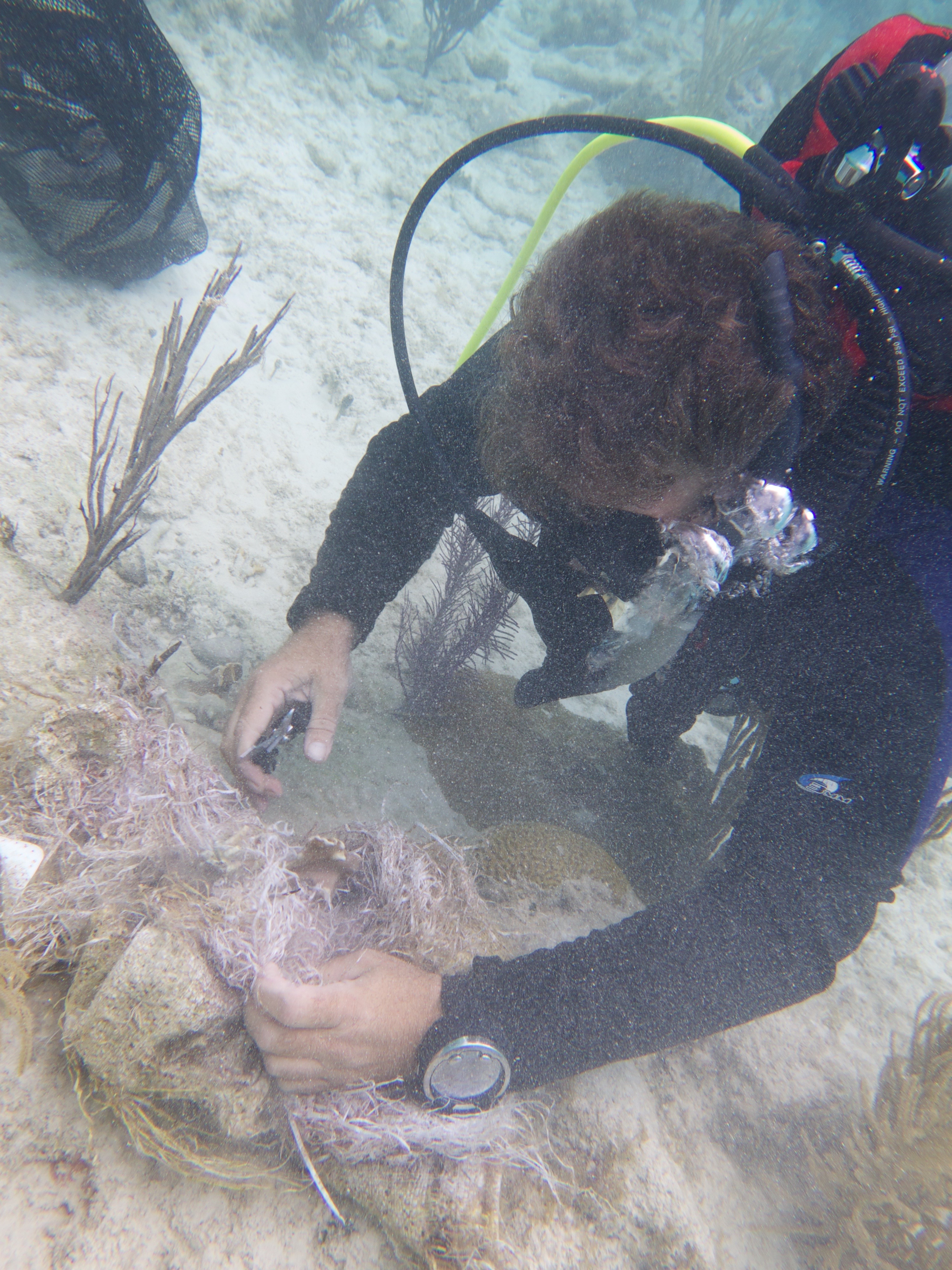
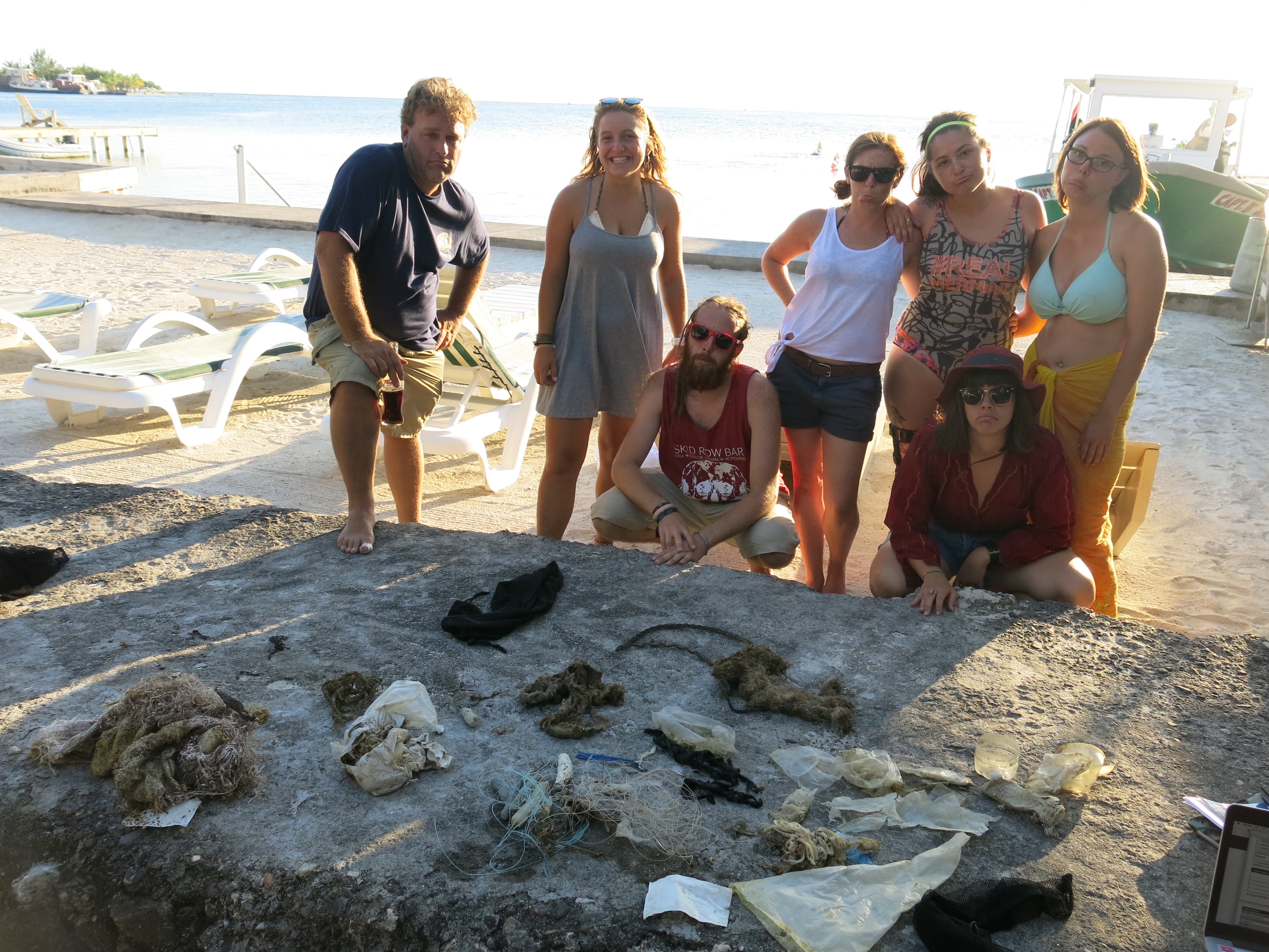
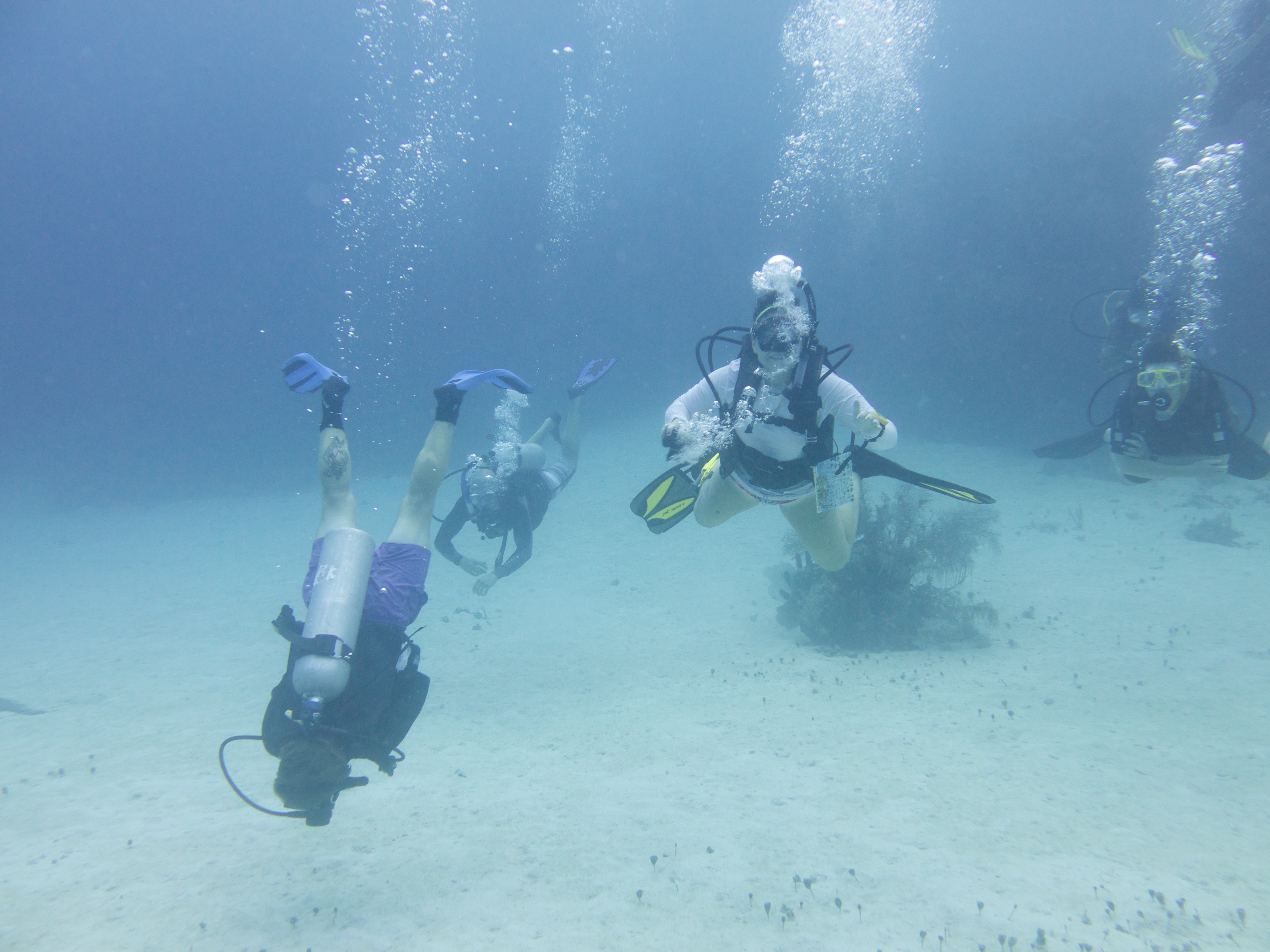
Little Bight is a beautiful dive site often used for training dives due to its large sloping sand patch. I would like to say a big thank you to Erik, Sofie, Paul, Sean, Sara, Valentine, Andi, Adam, Cyrill, Dayle and our Captain Ford for participating!
Diapers
Weather conditions for the last week have been normal for this time of year.
Underwater Vision
Grace Williams
2
1
2
1
11
2
2
5.00
225
10.00
2.00
2
estimated
3
100.00
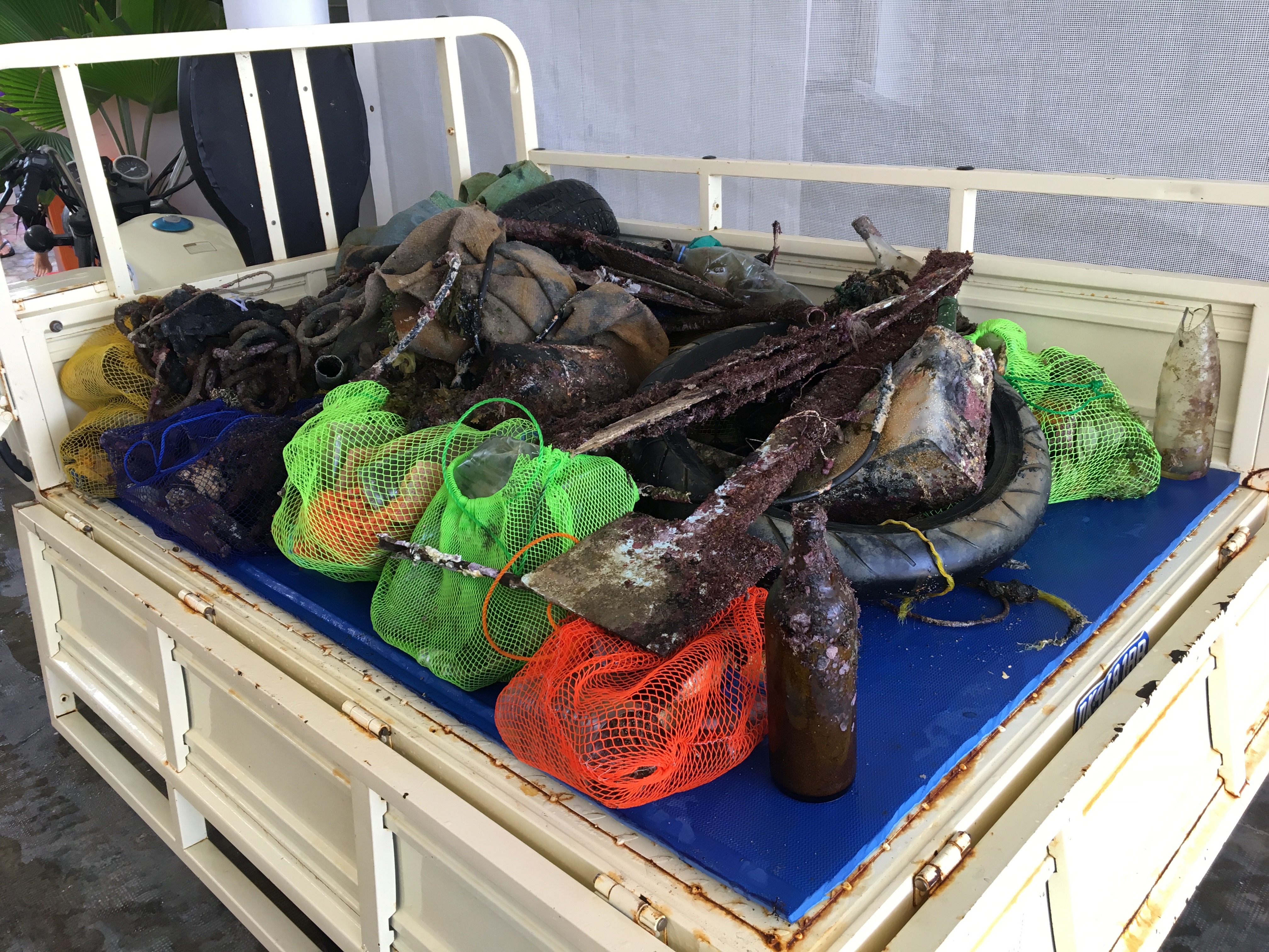
fishing line
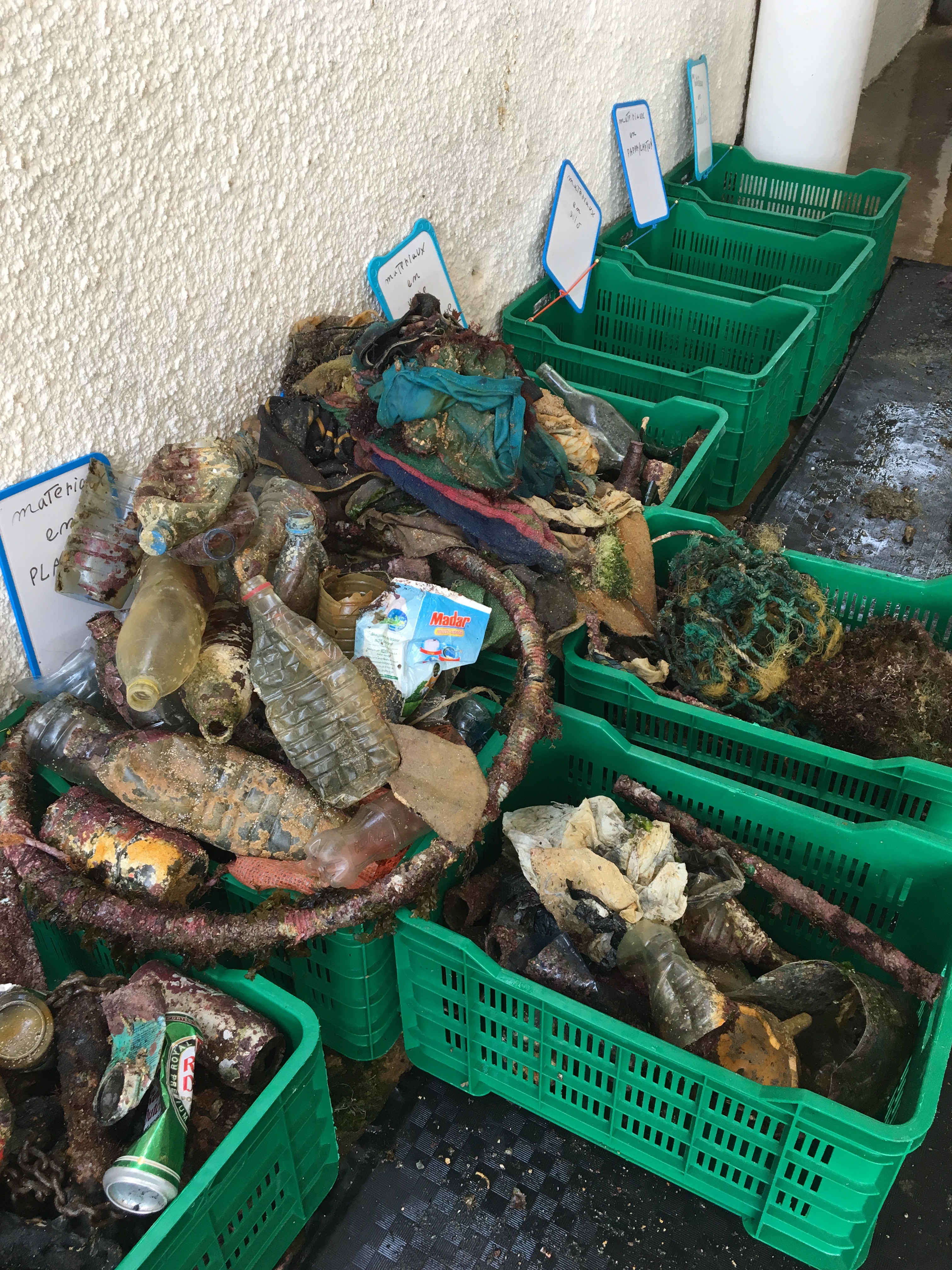
plastic bags
plastic bottles
On
pounds
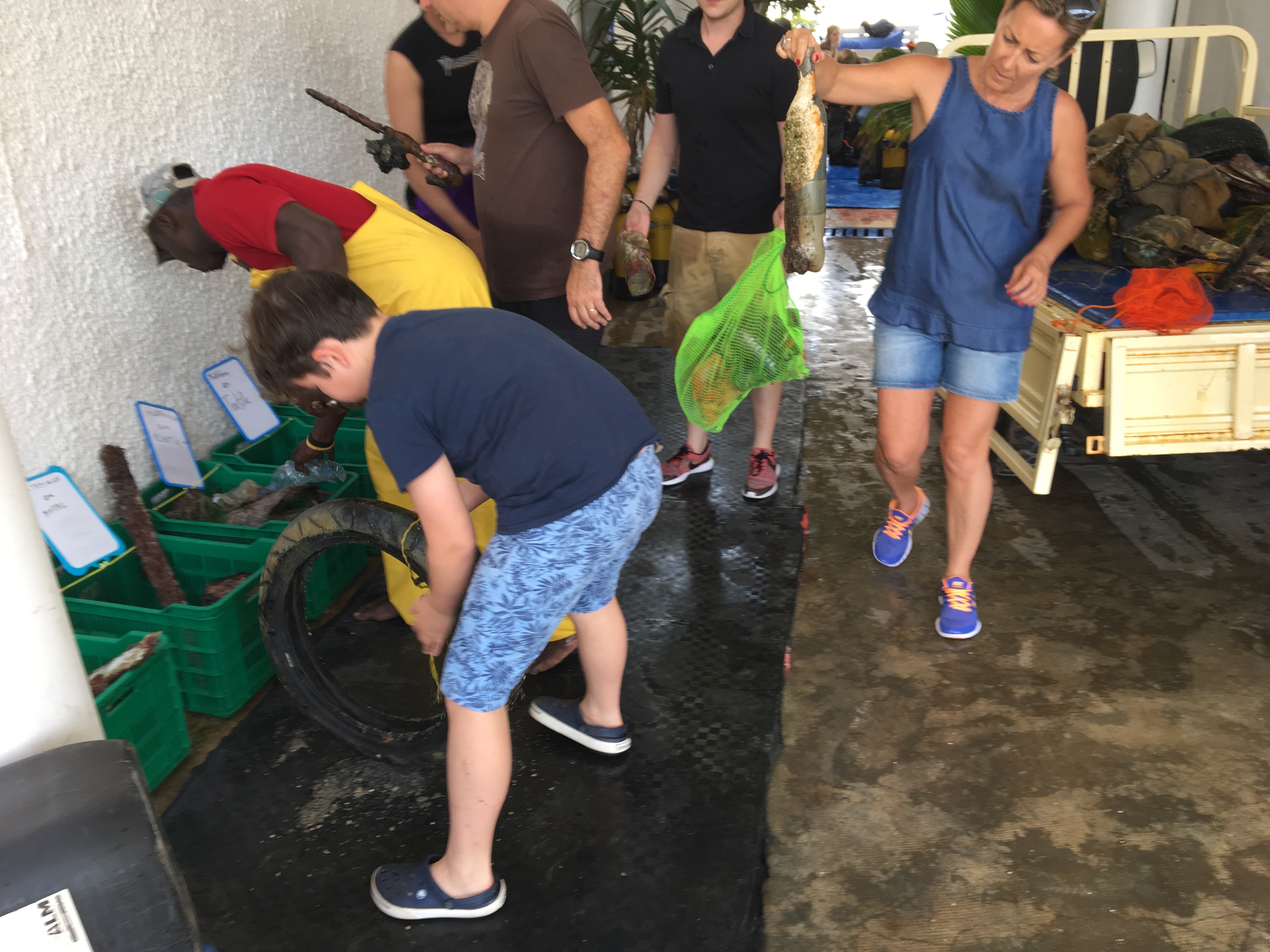
I have debris data to report
Smooth (wavelets) for waves 0.1 - 0.5 meter high
m2


meters
coral reef
1
State\Province
Bay Islands
City
Utila
Map Help
Dive Location
If you know your survey site coordinates, enter them manually in decimal degrees using WGS84 Map Datum. Use the minus sign for latitudes south of the equator and longitudes west of the Prime Meridian to 180 degrees.
If you do not know your survey site coordinates, click the “Map Location” tab to use the map to zoom into your survey site and drop the pin on the map to fall within your survey dive site in the water (not on land or the beach). Ensure you zoom in as much as possible to ensure data accuracy.
Entangled Help