ADS259 - Sarah's Secret Garden
-18.37945, 177.98671
High level of tourism - day fisherman, tourist boats, surf camps, local community with poor waste disposal.
Volunteer MPA but know that spear fisherman fish there.
Volunteer MPA but know that spear fisherman fish there.
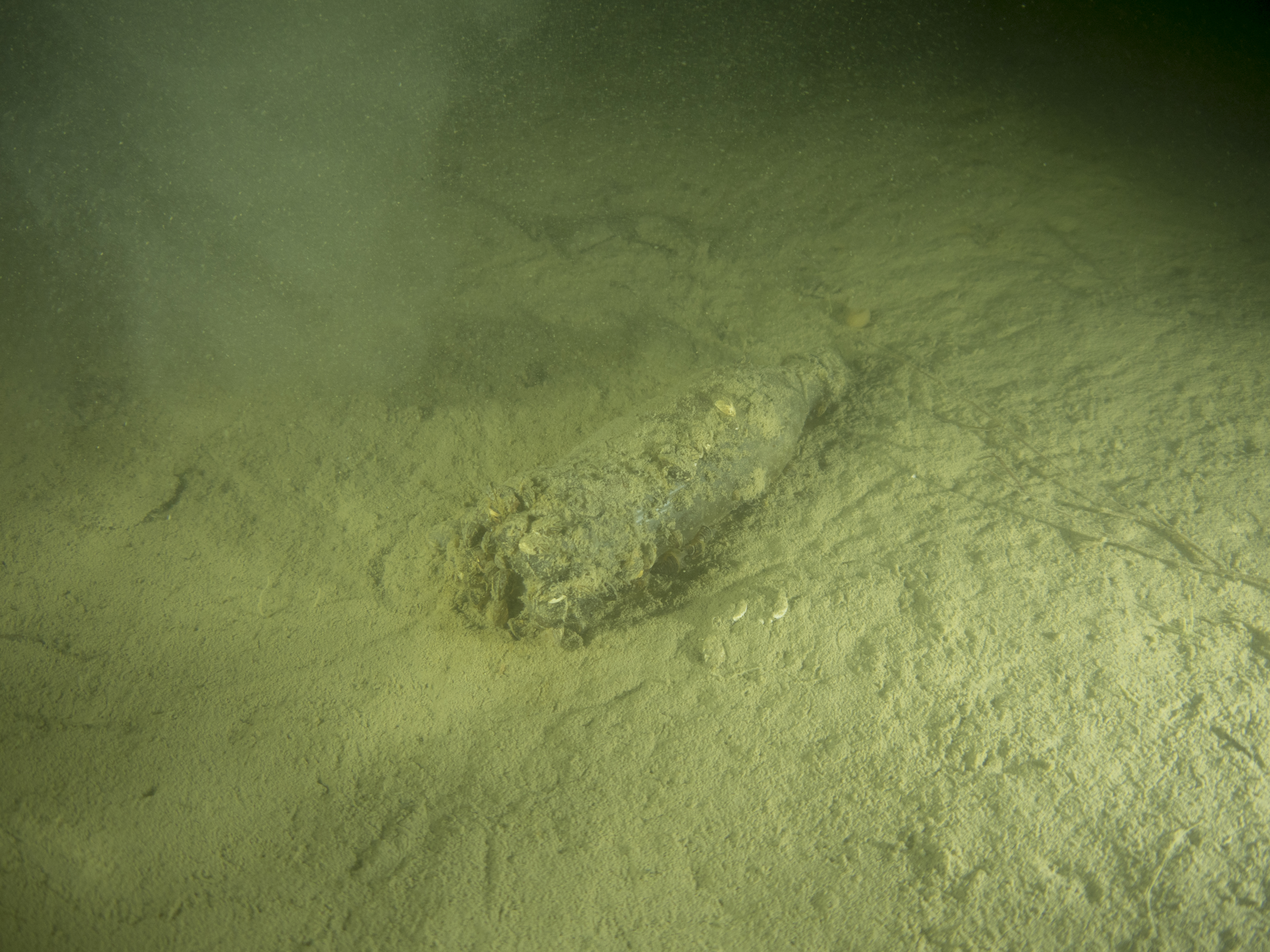
Bilge Pump
Rain showers, some torrential
Bilge pump
1
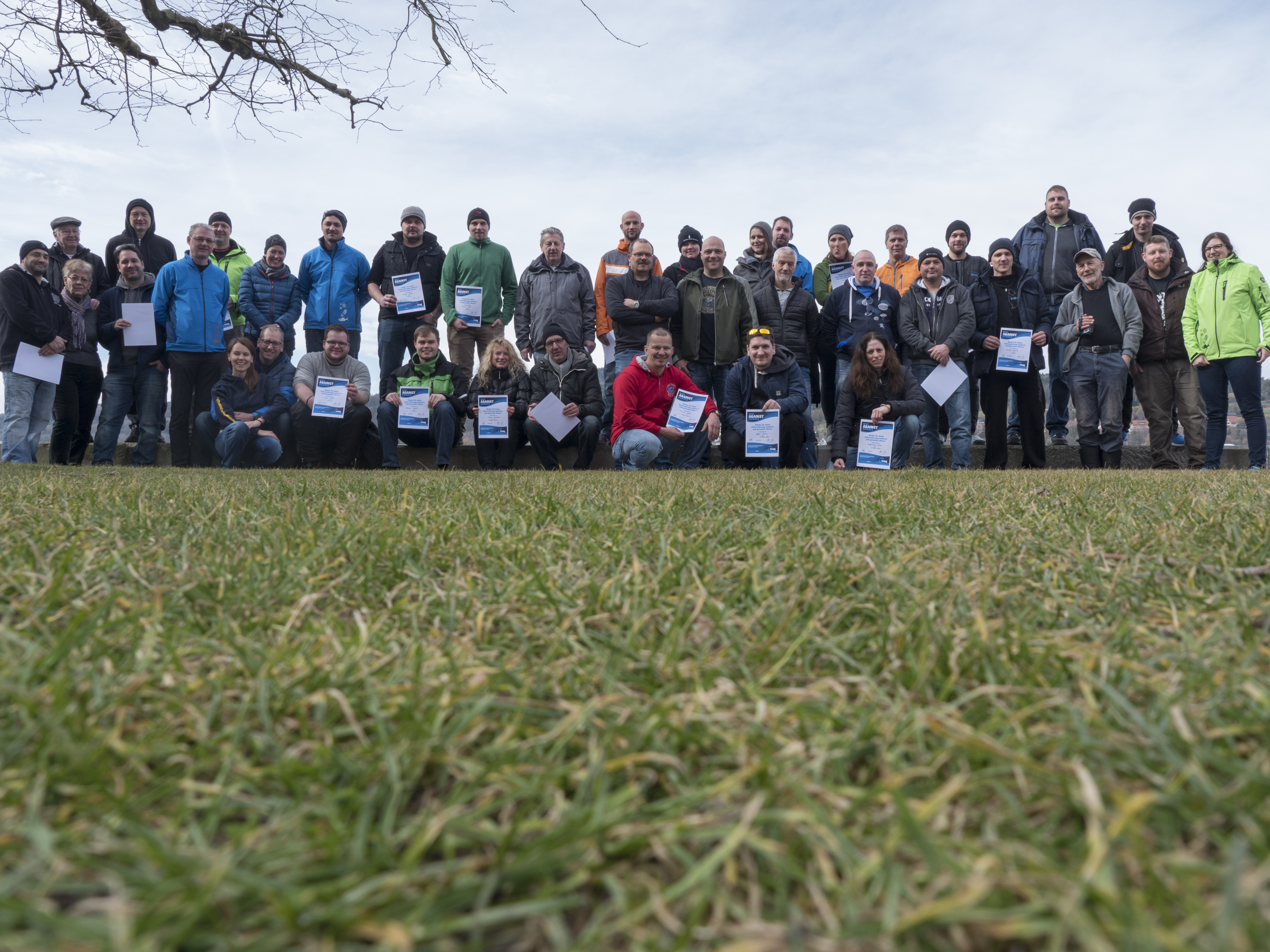
Projects Abroad Fiji Shark Conservation
Lisa Mclernon & Sydney Shier
8
1
1
9.00
35
10.00
17.00
measured
200.00
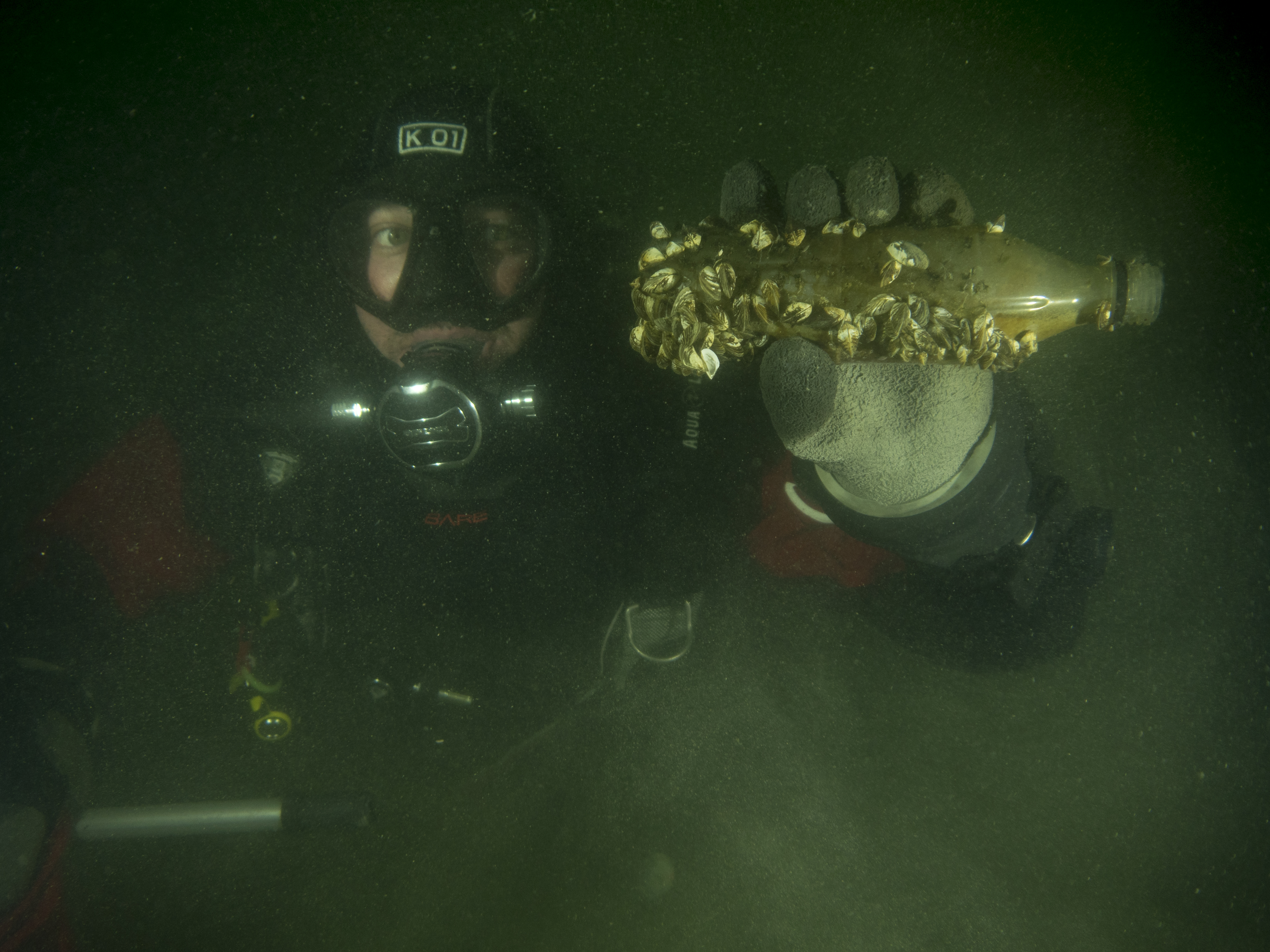
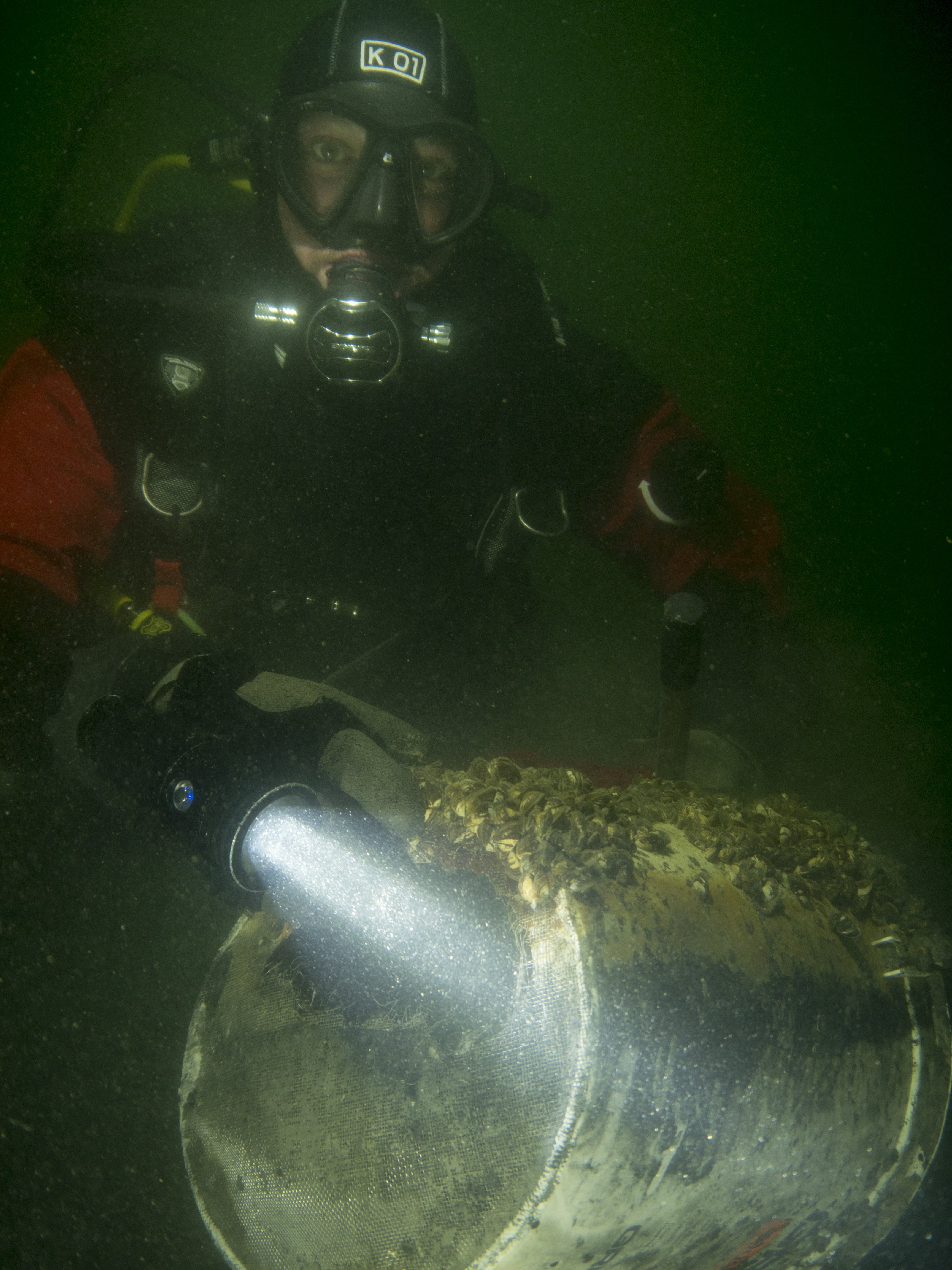
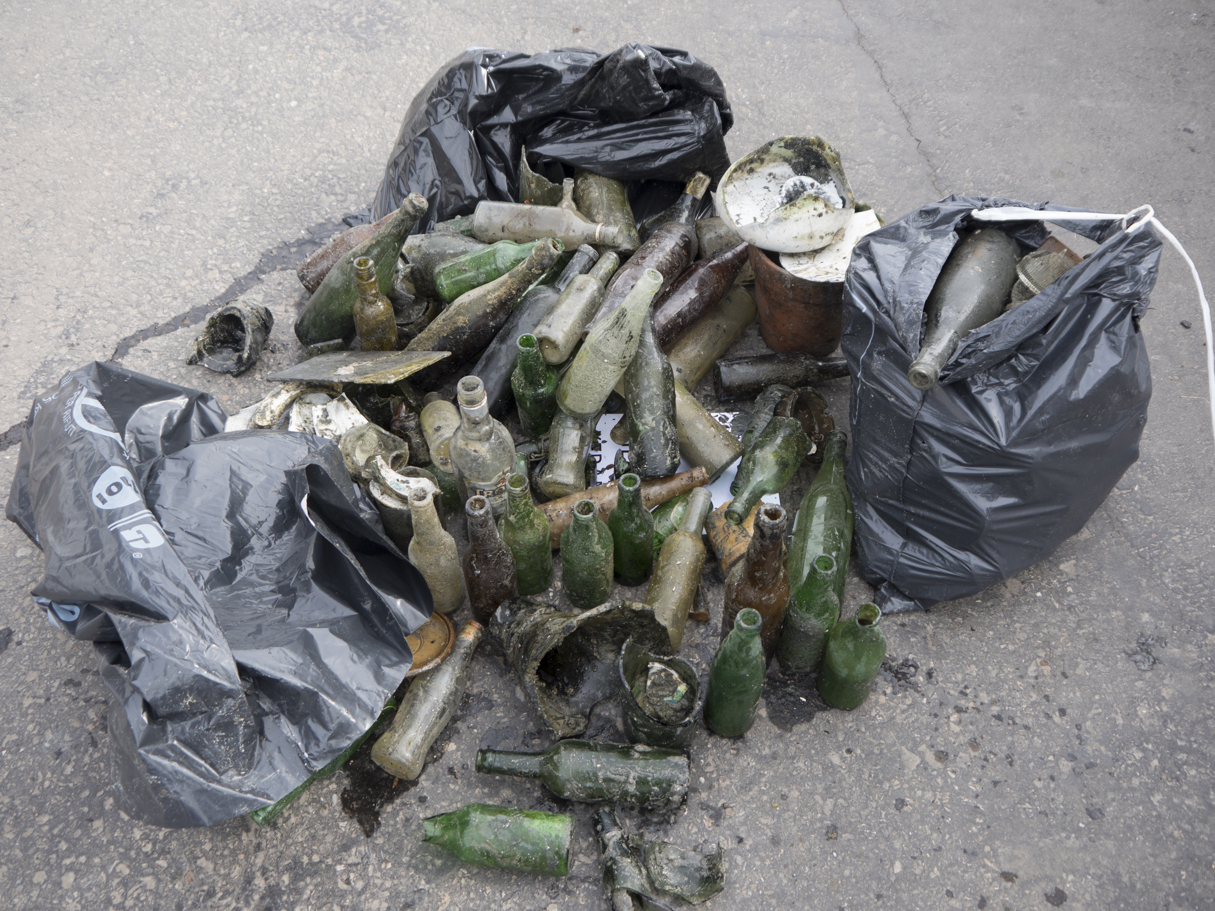
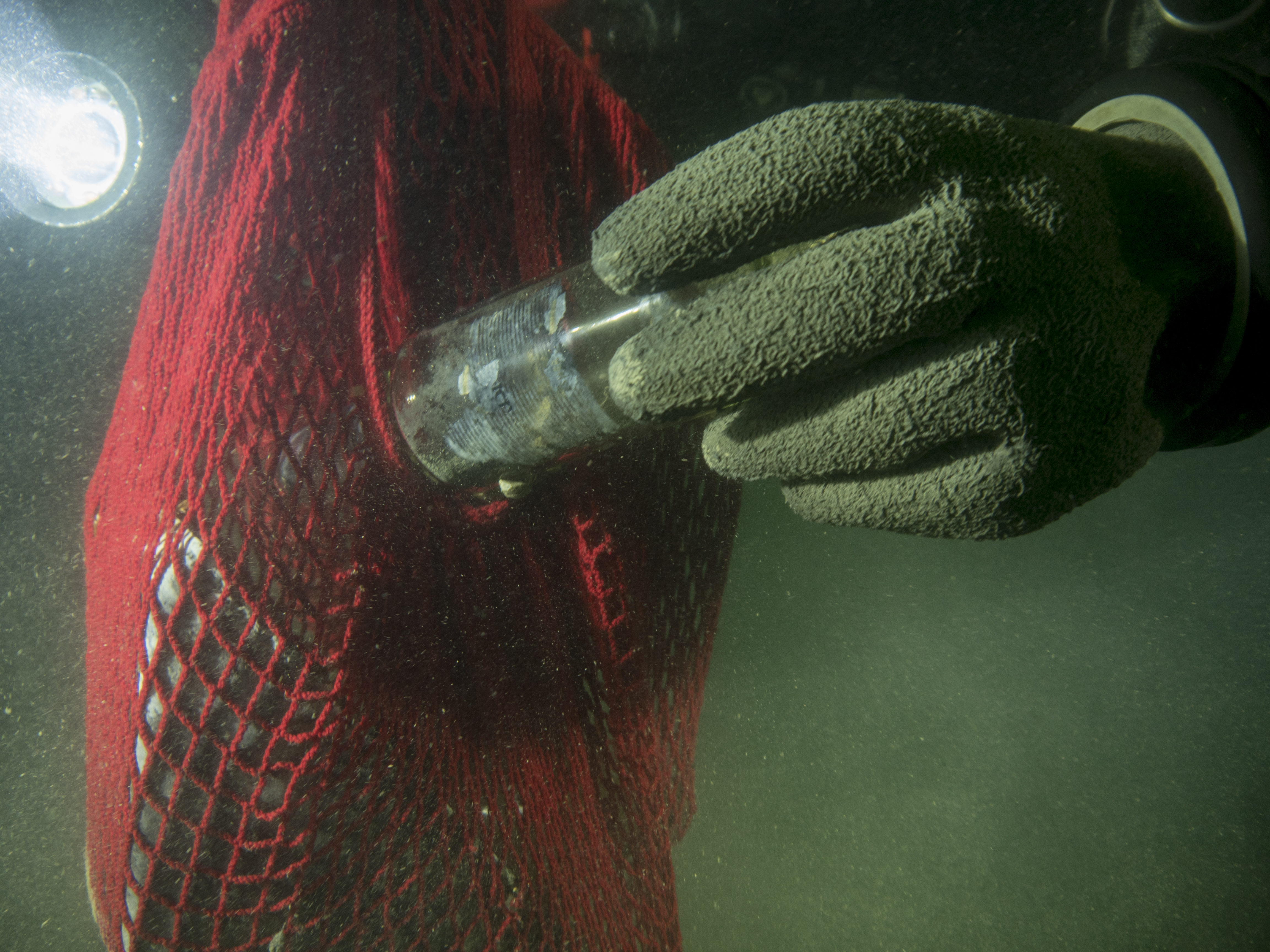
Glass bottles - thrown overboard by fisherman and tourists
Beverage Cans - thrown overboard by fisherman and toourists
Plastic bottles - thrown over board by fisherman and tourists.
On
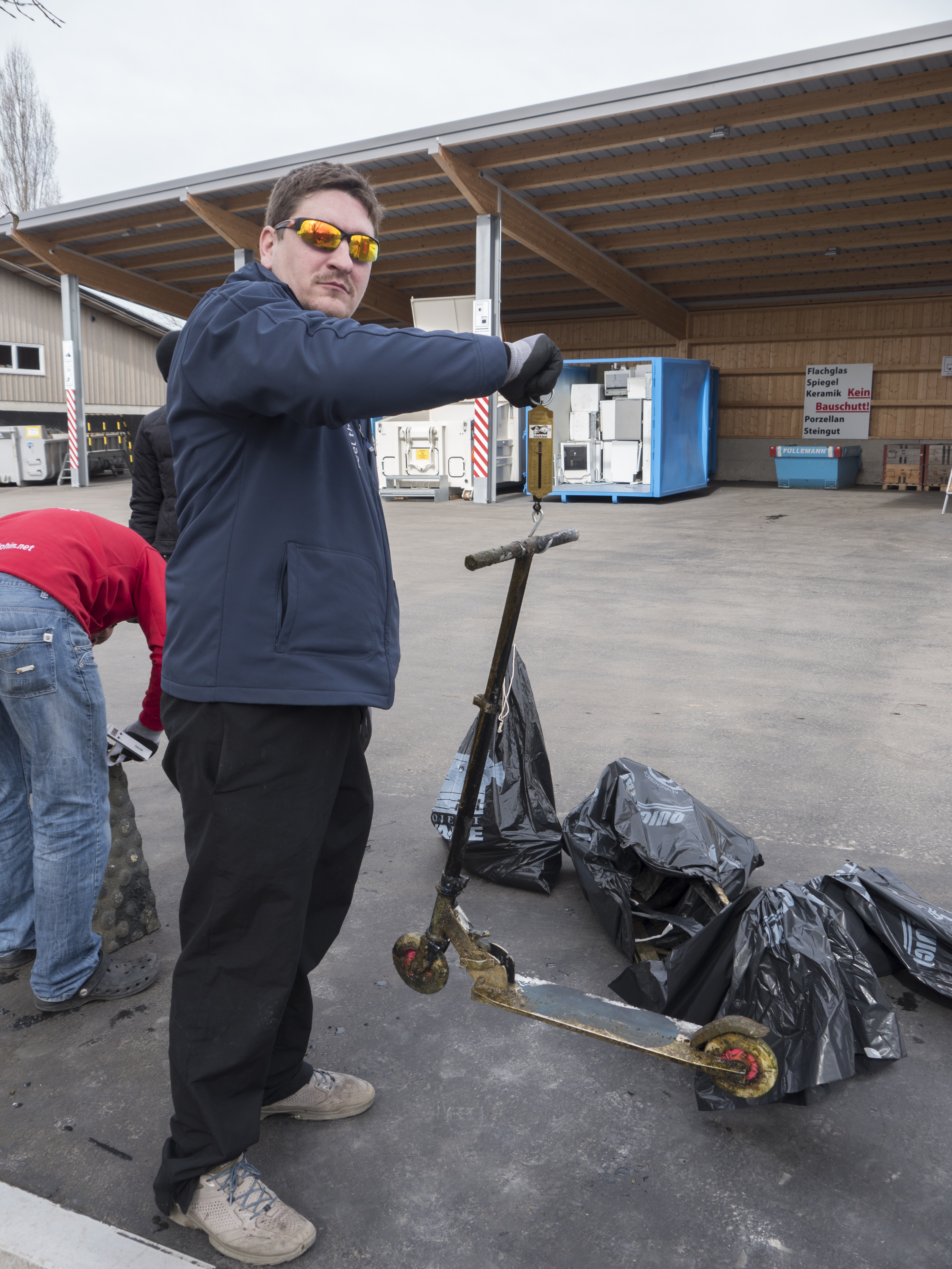
kilograms
I have debris data to report
20
Smooth (wavelets) for waves 0.1 - 0.5 meter high
m2
meters
coral reef
1
4
1
1
City
Pacific Harbour
Map Help
Dive Location
If you know your survey site coordinates, enter them manually in decimal degrees using WGS84 Map Datum. Use the minus sign for latitudes south of the equator and longitudes west of the Prime Meridian to 180 degrees.
If you do not know your survey site coordinates, click the “Map Location” tab to use the map to zoom into your survey site and drop the pin on the map to fall within your survey dive site in the water (not on land or the beach). Ensure you zoom in as much as possible to ensure data accuracy.
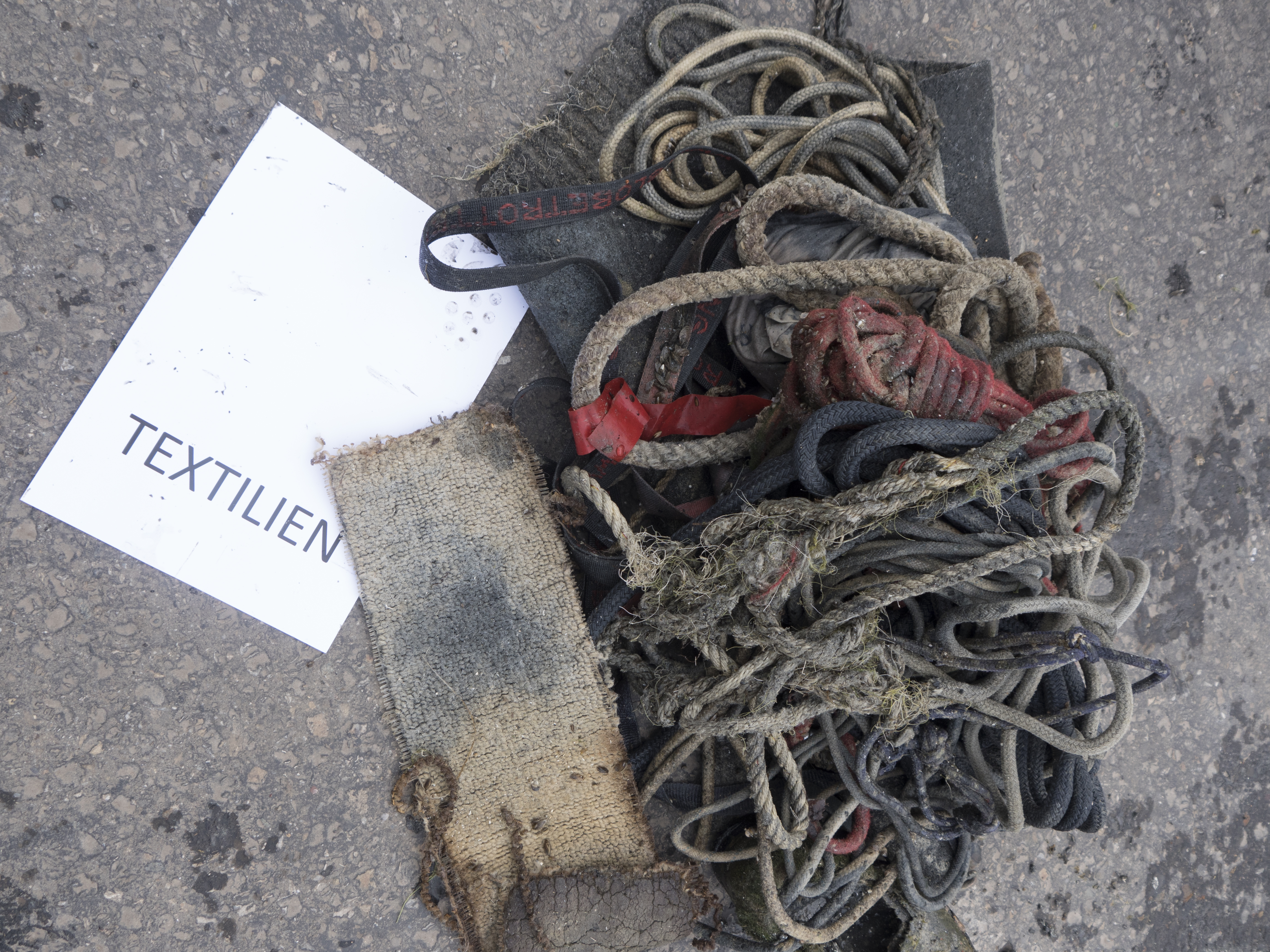
Entangled Help