Lobster pot dive spot grand cayman island
5
19.303472073648376, -81.38307111337781
1
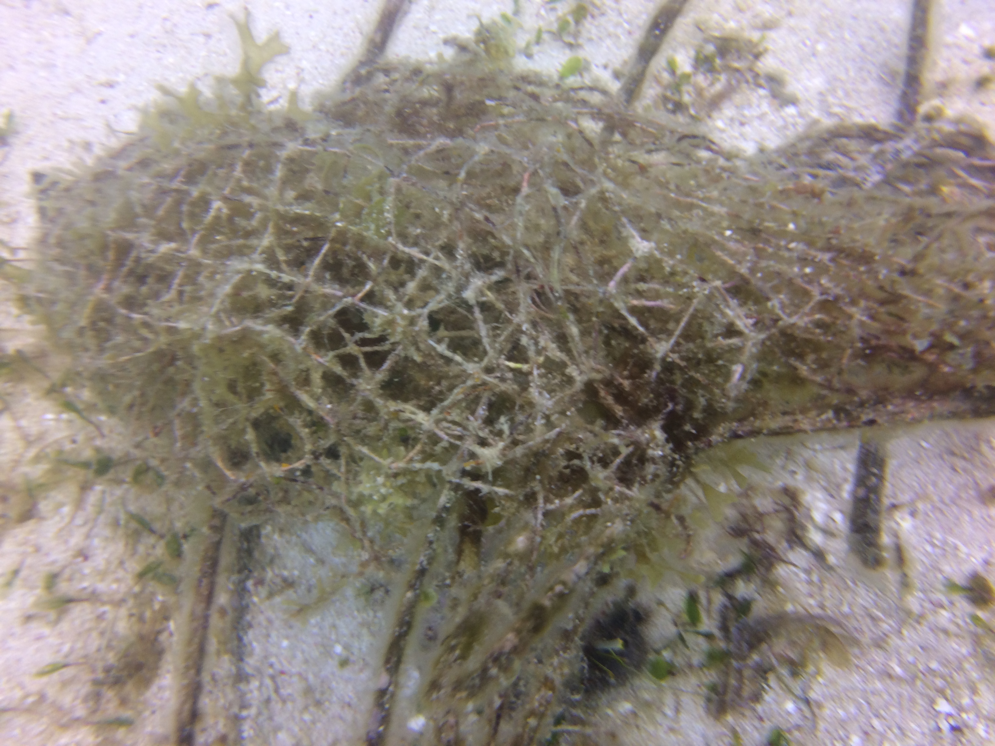
sand
3
1
19.303472073648376, -81.38307111337781
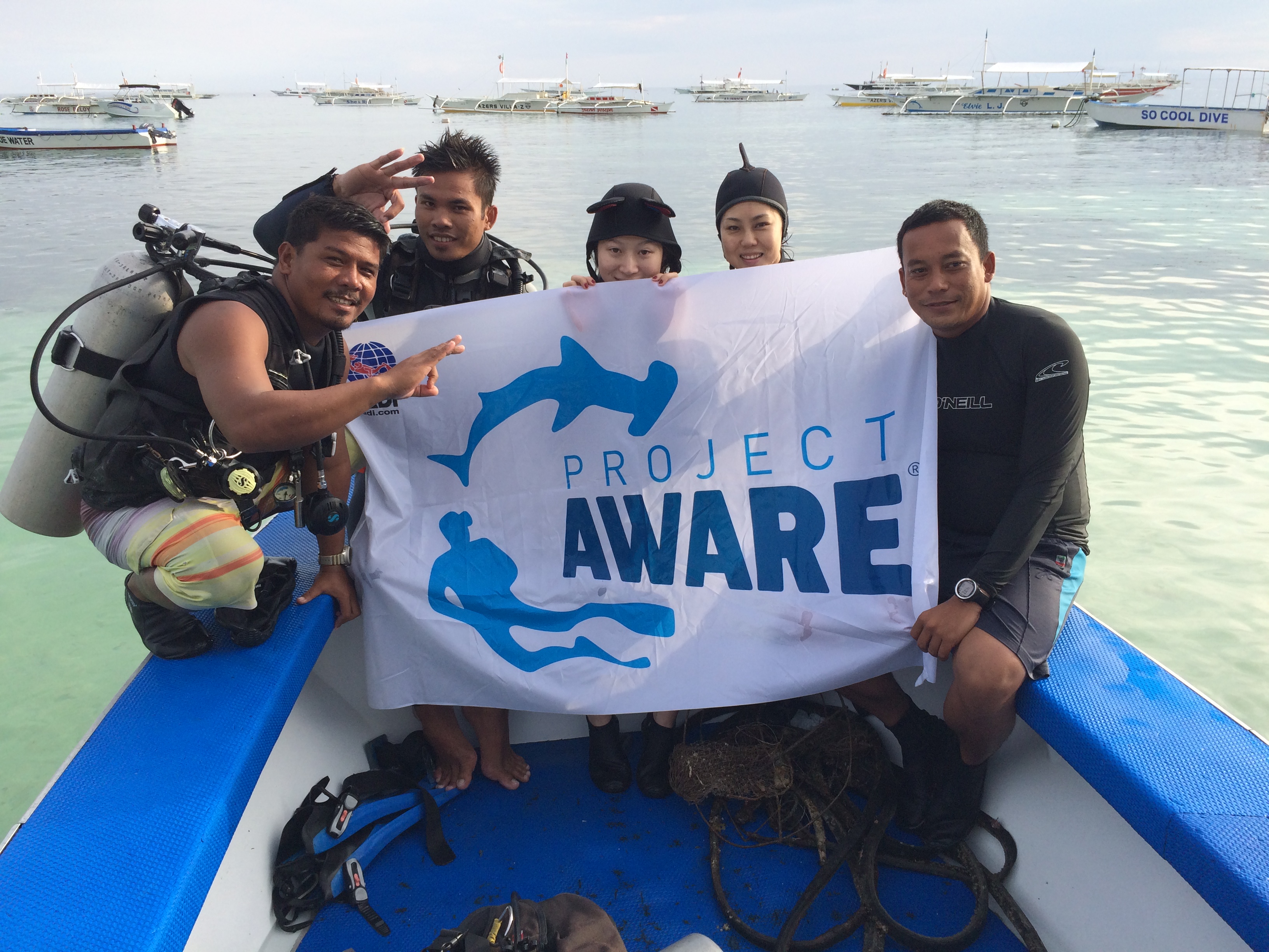
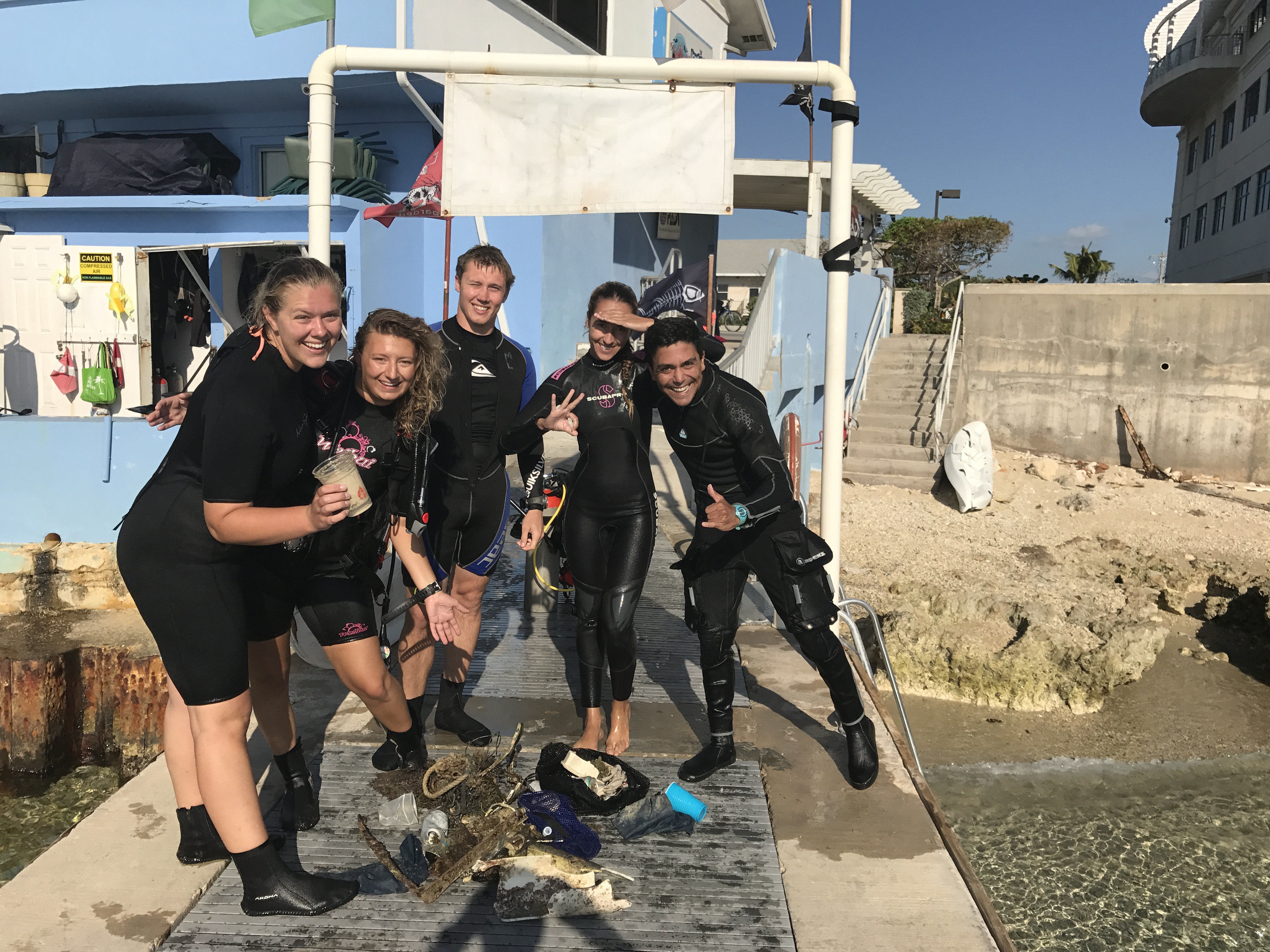
'LETS CLEAN OUR OFFICE' - así es como hemos llamado a nuestro evento, con la ayuda de los candidatos a instructores padi
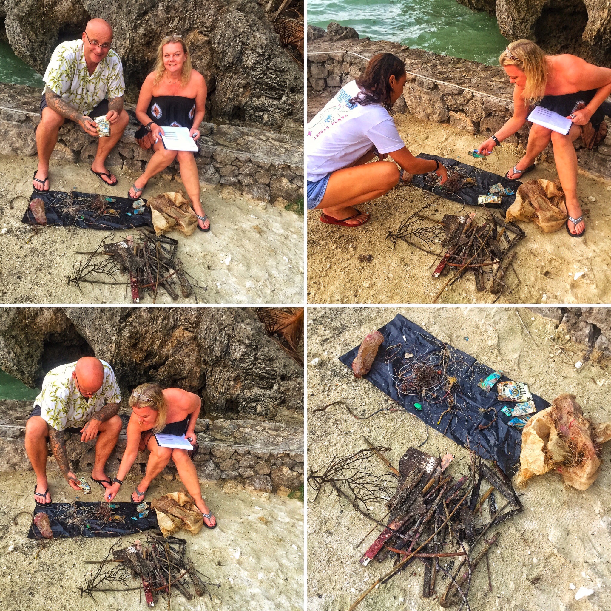
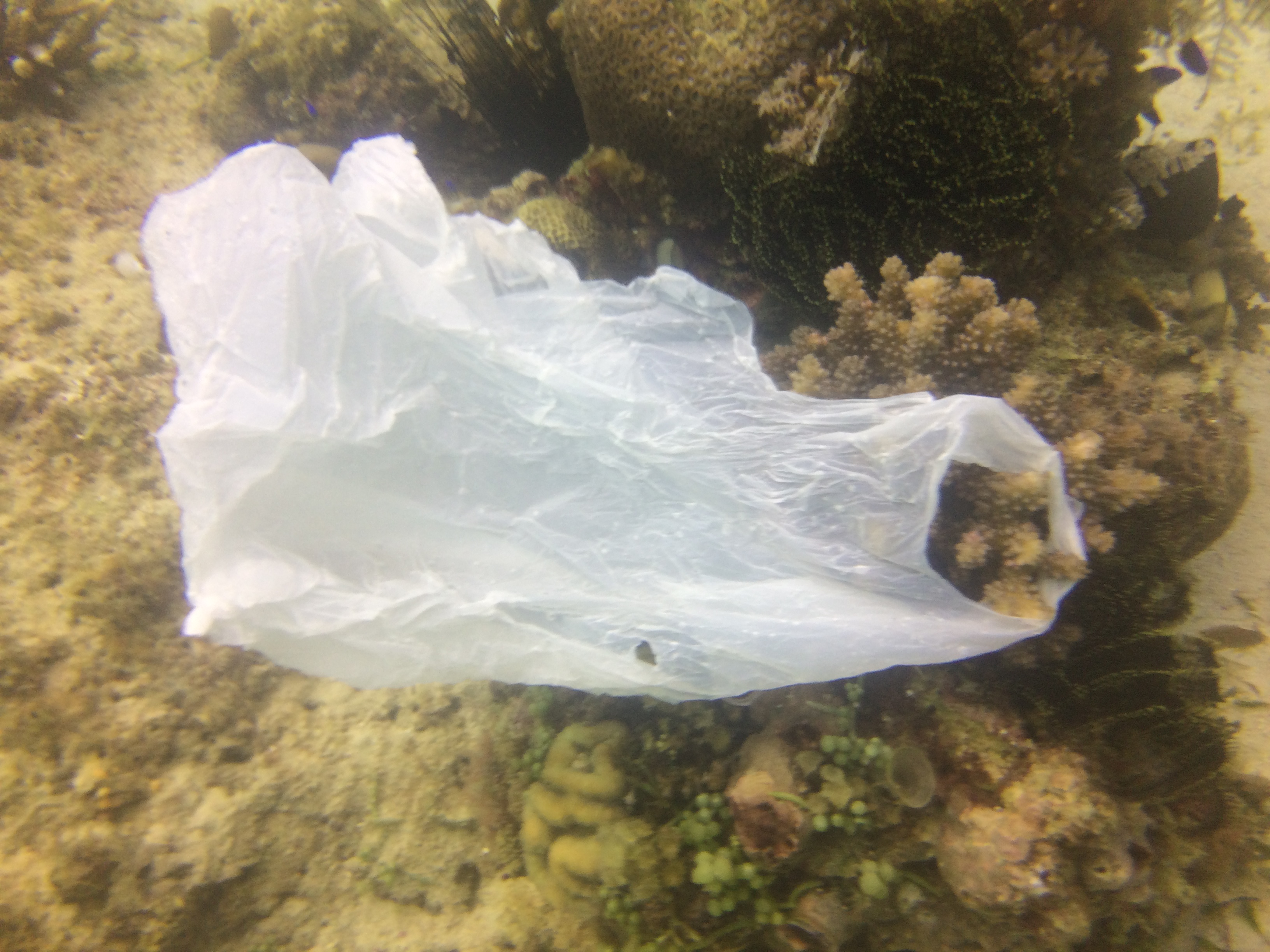
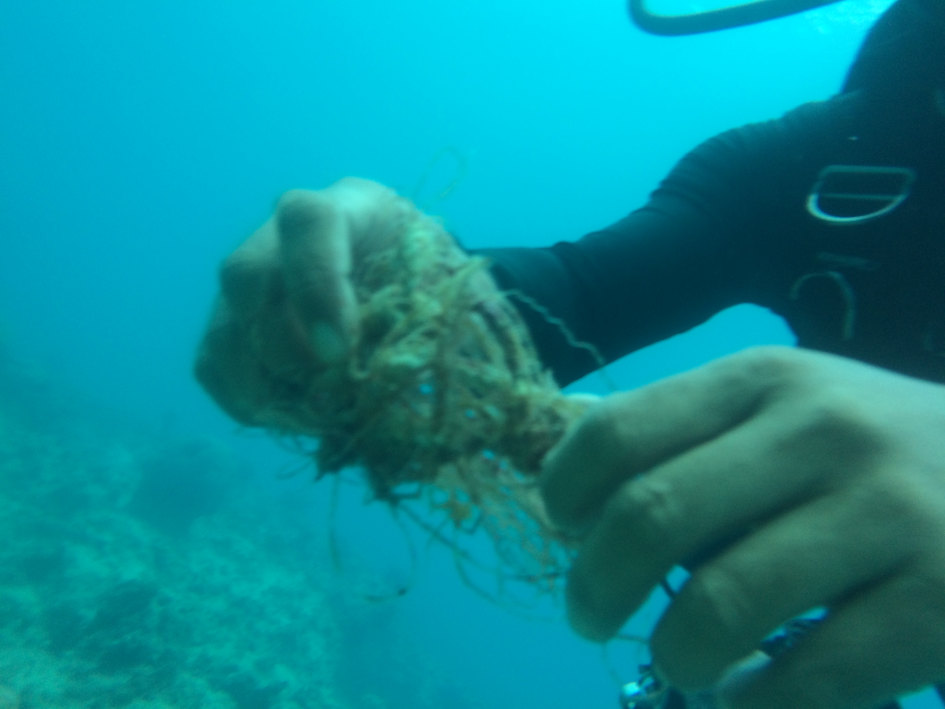
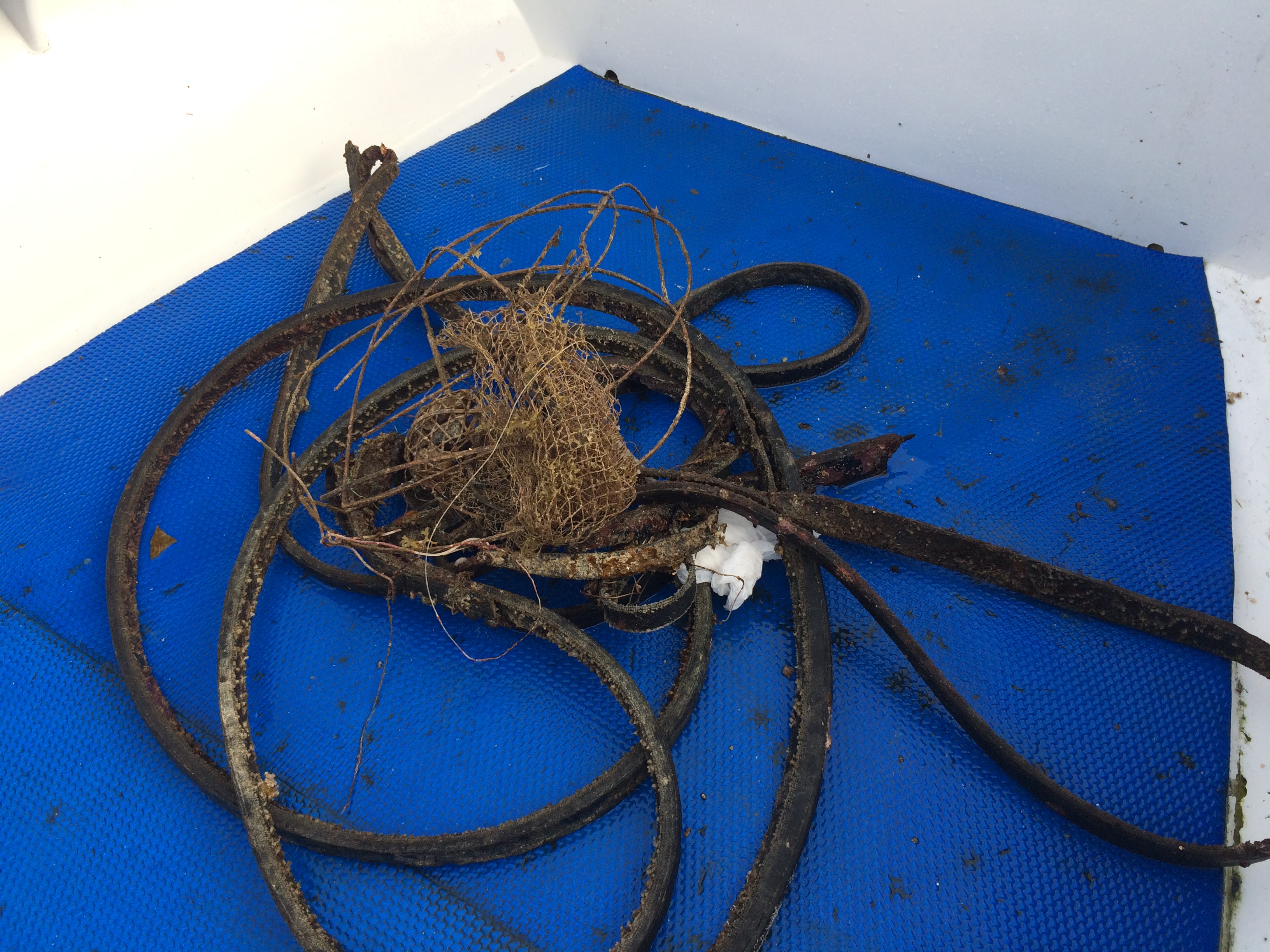
any type of plastic
nice weather conditions, calm water
go pro dive center grand cayman
Gonzalo Berrios
5
4
6
2
4
1
3
4.00
80
9.00
1.00
7
estimated
1
200.00
1
On
kilograms
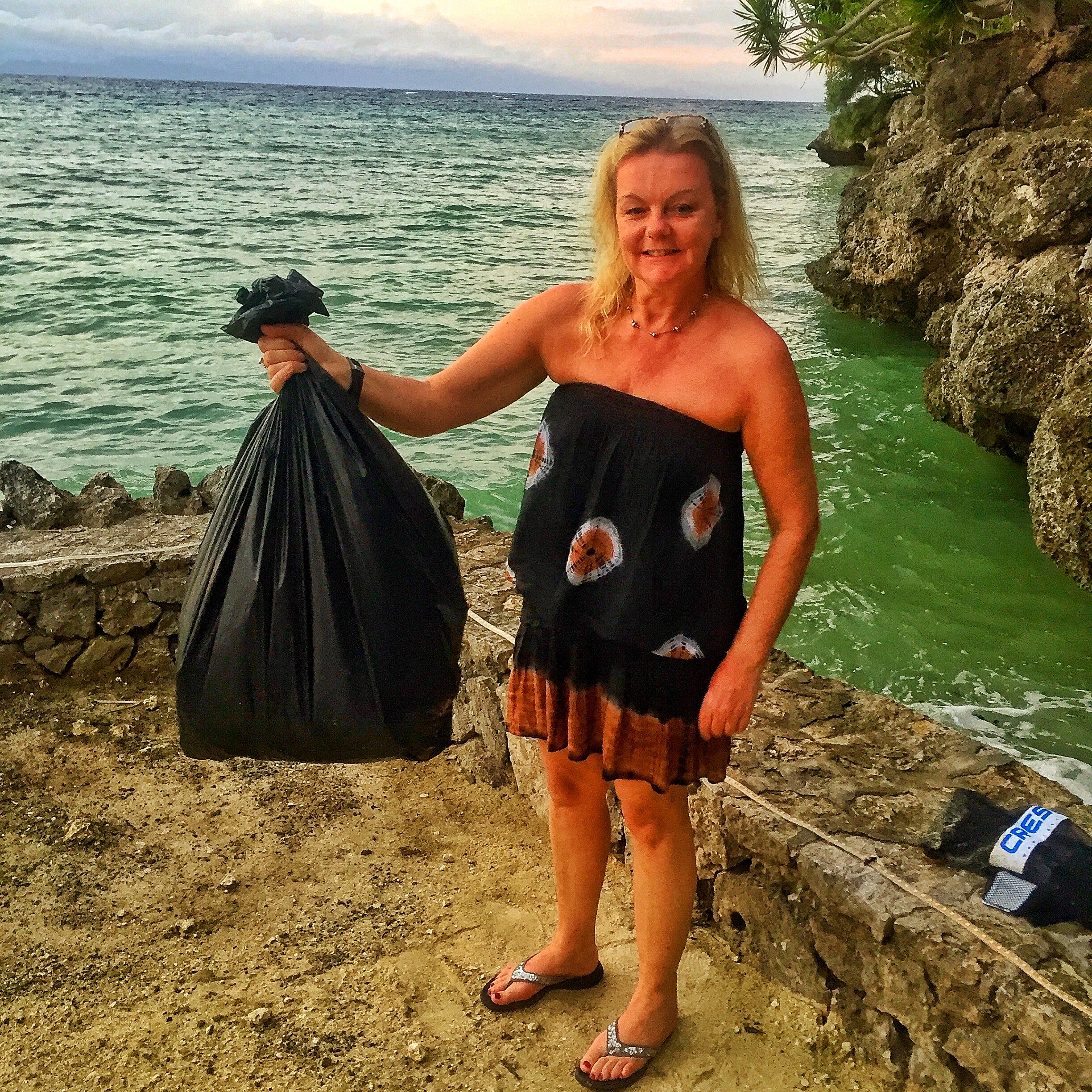
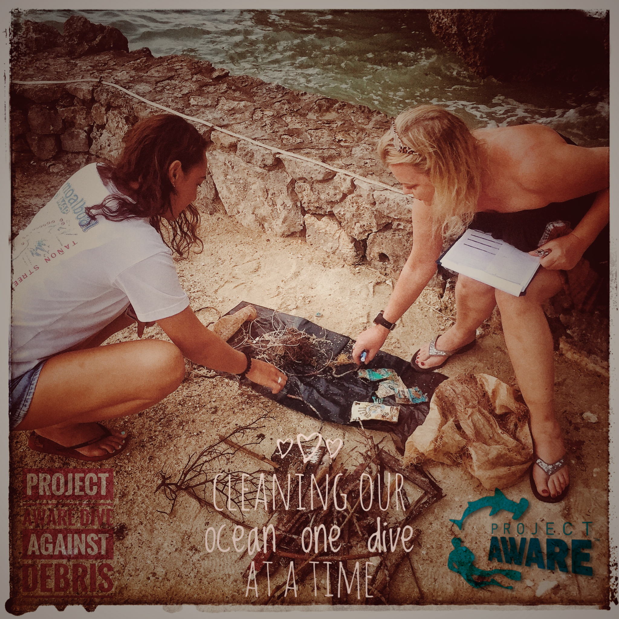
I have debris data to report
2
Calm (glassy to rippled) for waves 0 – 0.1 meter high
1
1
1
m2
2
meters
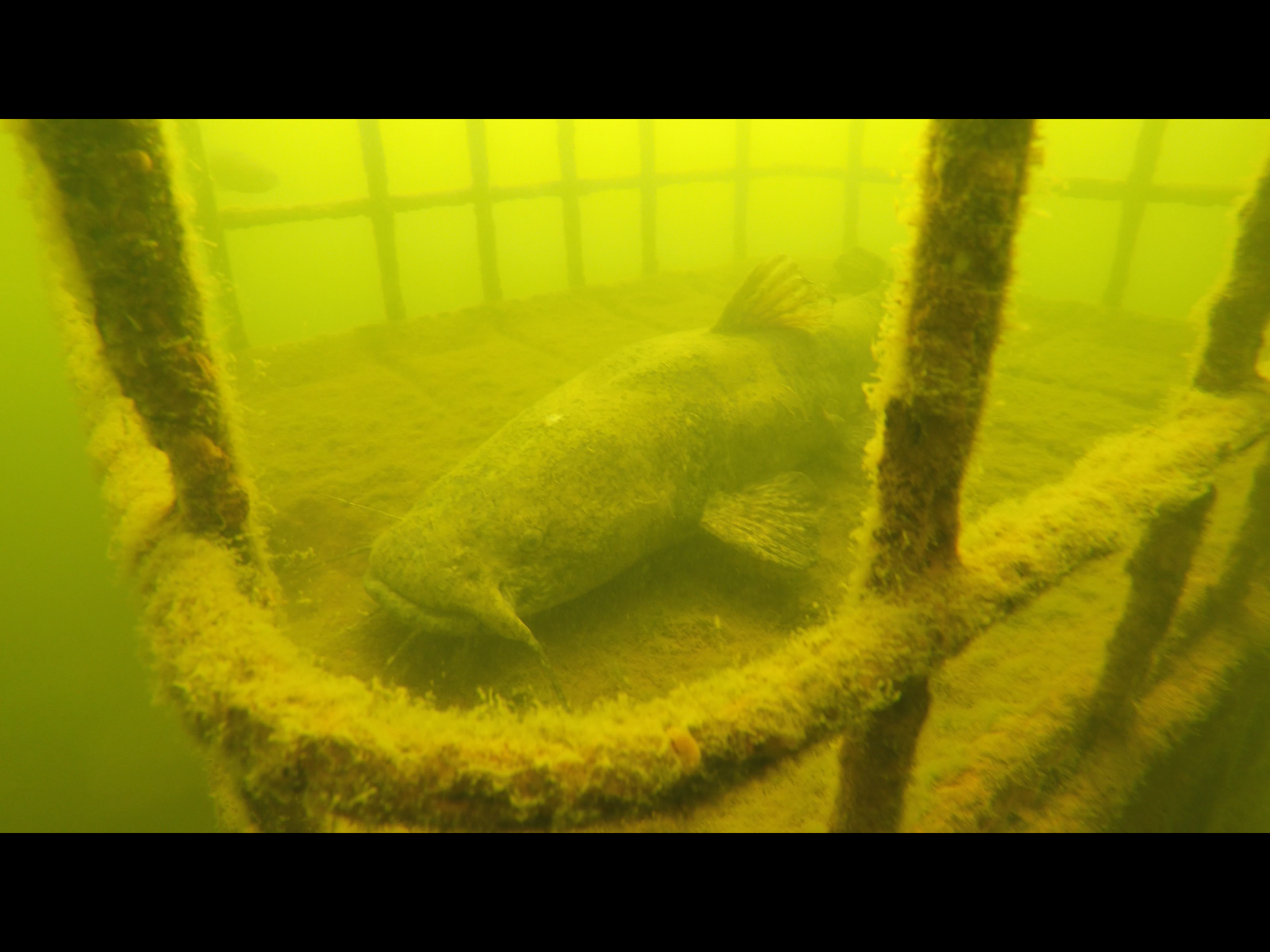
coral reef
3
1
5
3
State\Province
grand cayman
City
george town
Map Help
Dive Location
If you know your survey site coordinates, enter them manually in decimal degrees using WGS84 Map Datum. Use the minus sign for latitudes south of the equator and longitudes west of the Prime Meridian to 180 degrees.
If you do not know your survey site coordinates, click the “Map Location” tab to use the map to zoom into your survey site and drop the pin on the map to fall within your survey dive site in the water (not on land or the beach). Ensure you zoom in as much as possible to ensure data accuracy.
Entangled Help