
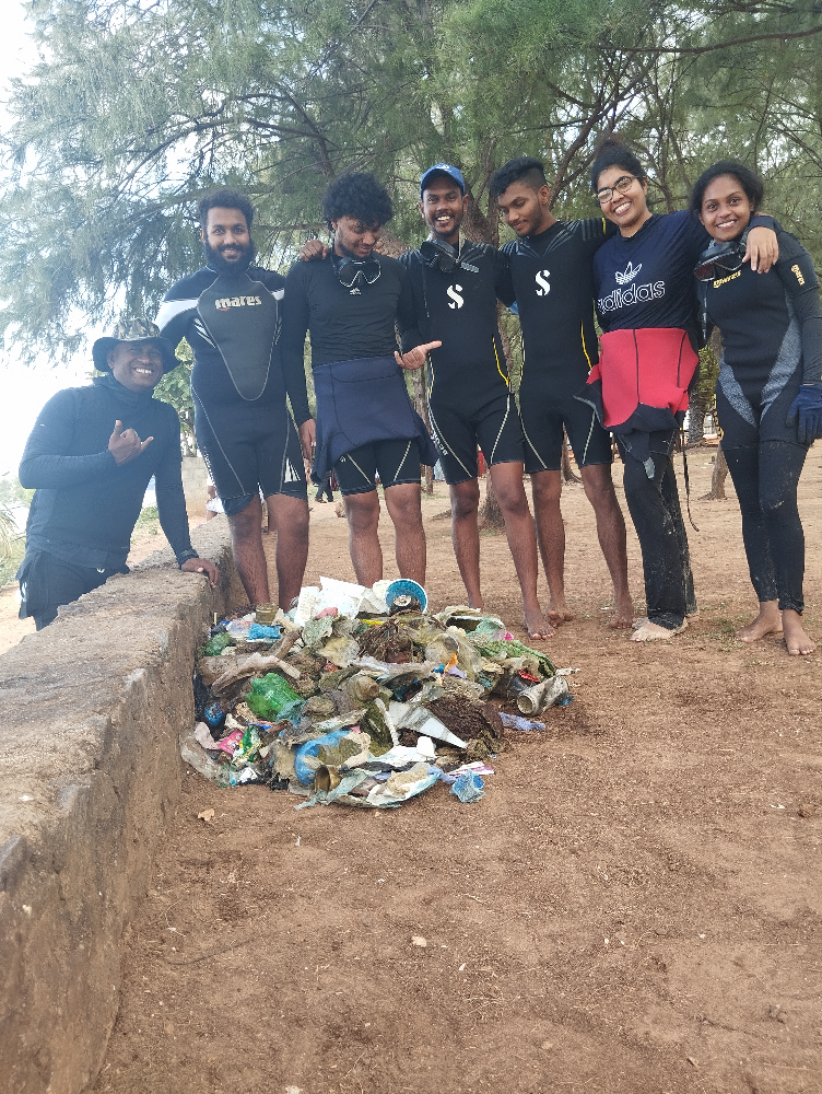
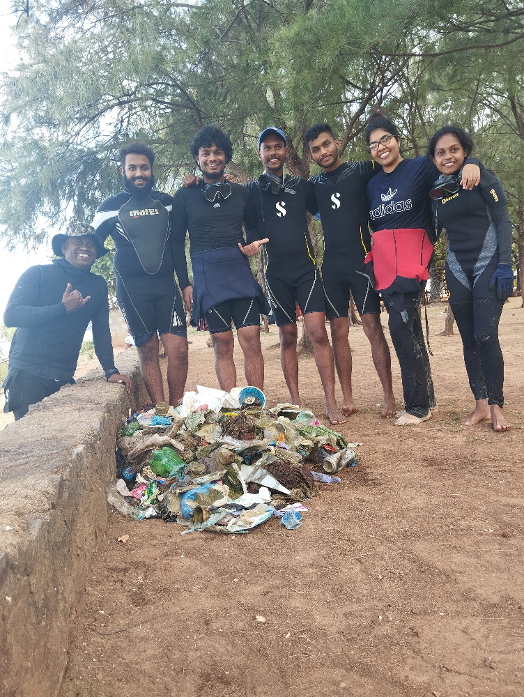
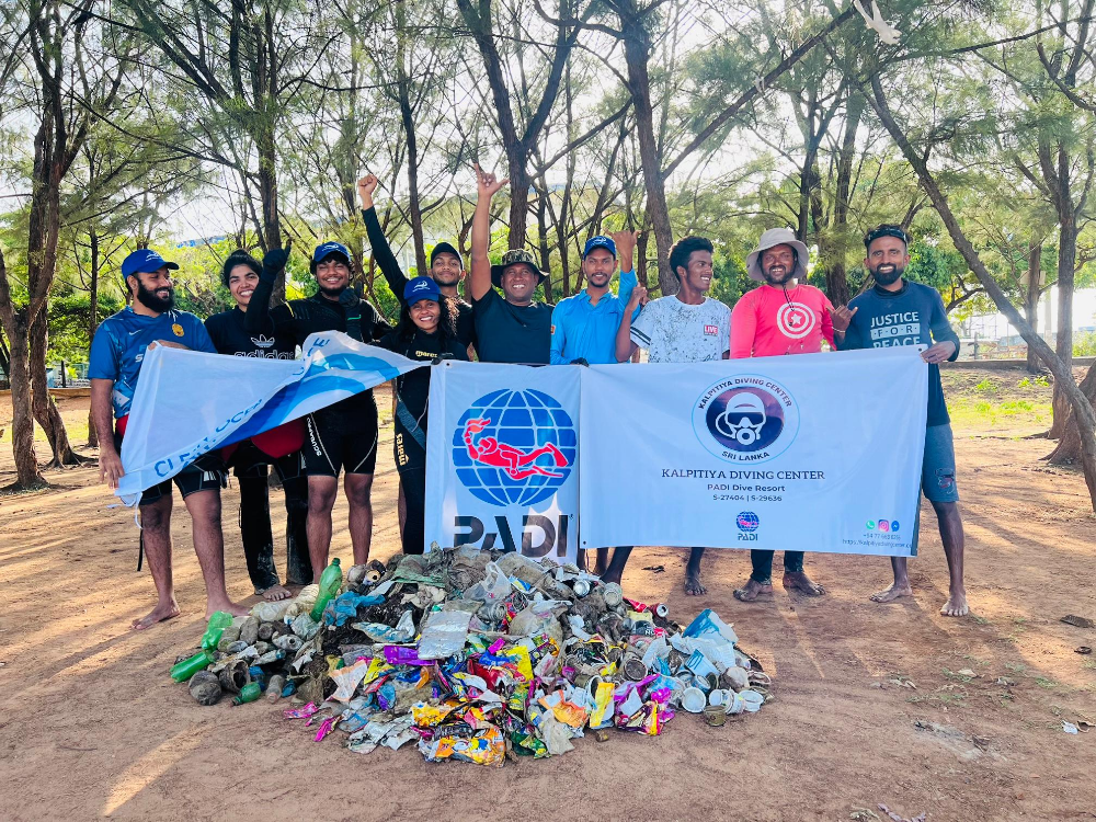
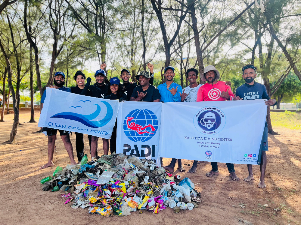
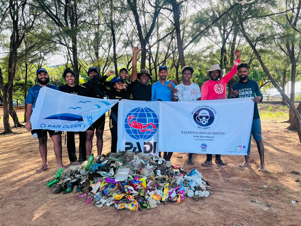
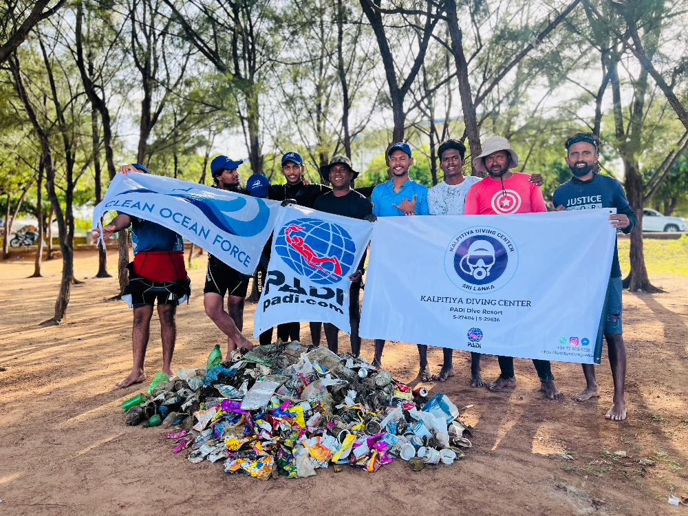
Life Saving Reef Trincomalee
0
0
29
21
8.571582, 81.24033
0
0
0
rock
0
1635
0
12
0
Need to save our environment.
Yes
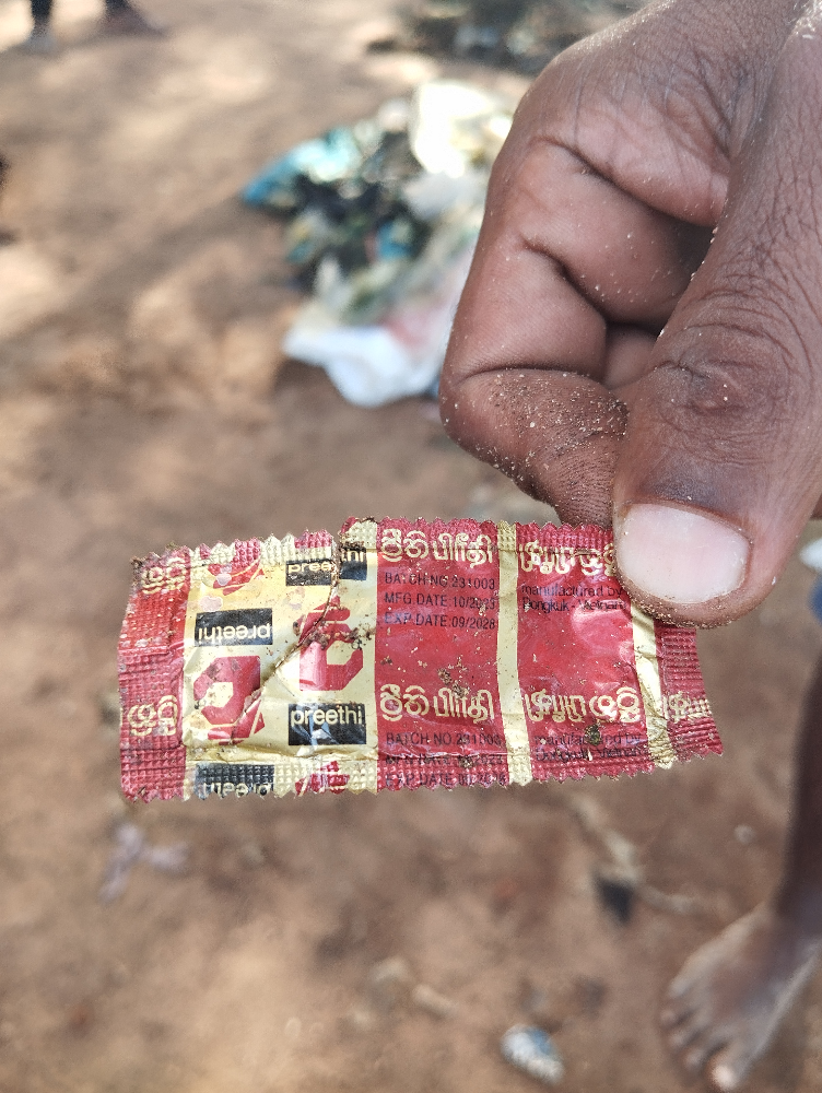
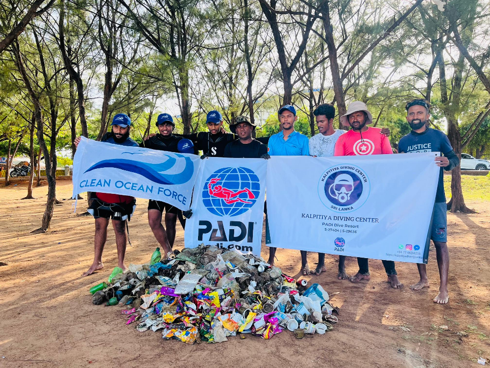
This area we did reef cleaning program last month world Ocean Day.but we did again.lots of debris again.
Dead crabs
Plastic bag
Dead Puffer fish
Sunny
Kalpitiya Diving Center
Samith Fernando
0
1
0
29
0
0
0
0
0
0
0
0
0
0
1
0
7
2
0
8
0
0
0
0
1098
48
89
0
0
1
1
0
0
2
0
0
211.00
120
8.00
3.00
0
measured
0
0
0
0
1195.73
0
0
0
0
1
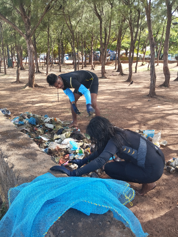
Plastic bag
Plastic bottles
Nets
0
On
kilograms
0
I have debris data to report
1
0
0
Calm (glassy to rippled) for waves 0 – 0.1 meter high
0
0
0
Nets
Dead
Puffer Fish
Crabs
Dead
3
1
Net
18
3
0
13
m2

0
1
meters
coral reef
0
0
0
0
0
1
0
0
0
0
0
0
0
0
0
0
0
32
1
0
0
0
0
0
0
0
0
0
0
State\Province
East Province
City
Trincomalee
Map Help
Dive Location
If you know your survey site coordinates, enter them manually in decimal degrees using WGS84 Map Datum. Use the minus sign for latitudes south of the equator and longitudes west of the Prime Meridian to 180 degrees.
If you do not know your survey site coordinates, click the “Map Location” tab to use the map to zoom into your survey site and drop the pin on the map to fall within your survey dive site in the water (not on land or the beach). Ensure you zoom in as much as possible to ensure data accuracy.
Entangled Help


