
竹富南イソバナの根
24.2993336, 124.0874481
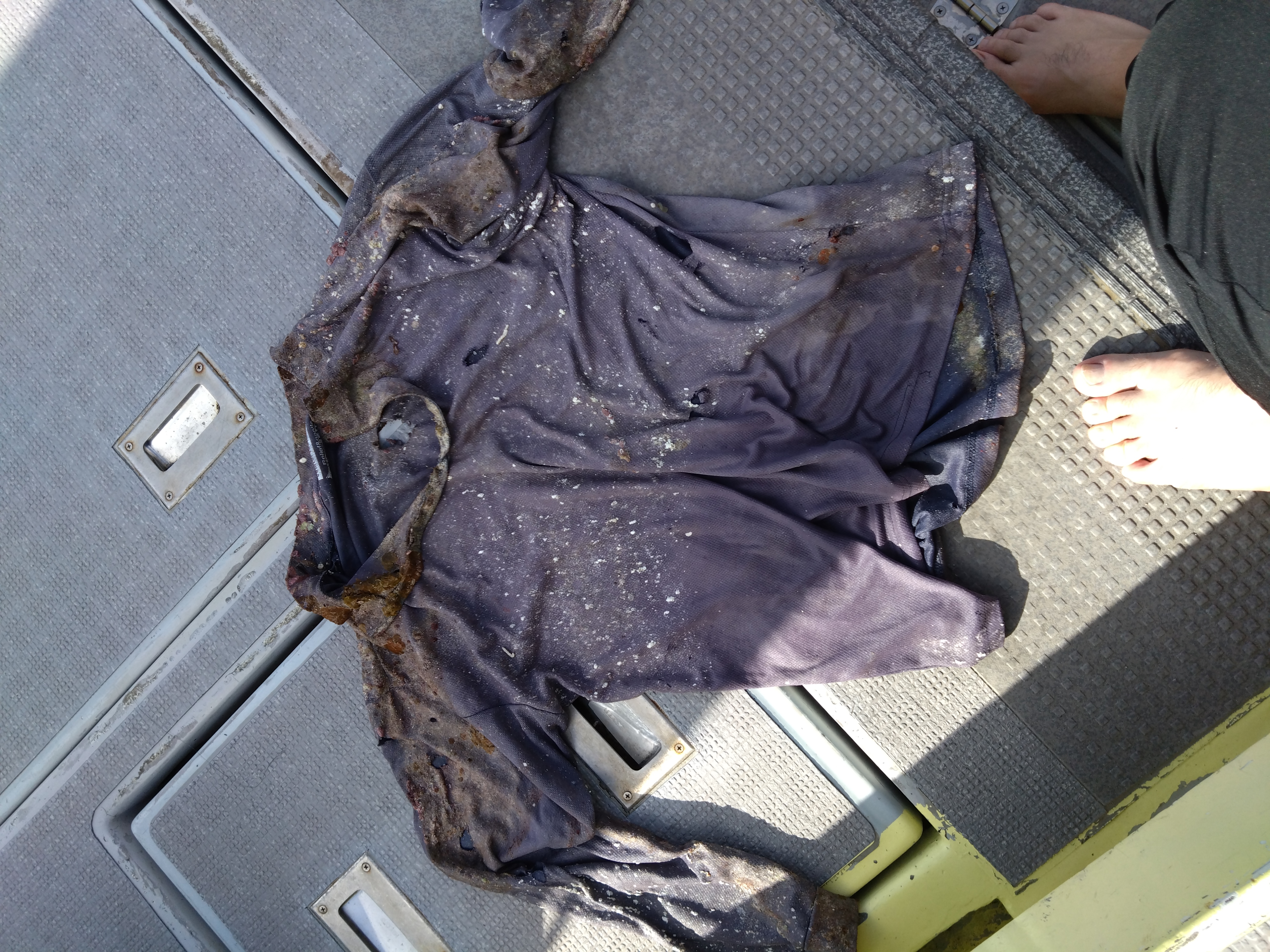
衣服(綿)
雨~曇り
MOANAダイビングカレッジ石垣島
高見友裕
2
1.00
43
14.00
8.00
estimated
29.00
ペットボトル ・・・ポイ捨て
釣り糸 ・・・岩にひっかっけて切れる
缶・ビン ・・・ポイ捨て
On
kilograms
I have debris data to report
Smooth (wavelets) for waves 0.1 - 0.5 meter high
m2
meters
coral reef
1
State\Province
沖縄県
City
竹富島
Map Help
Dive Location
If you know your survey site coordinates, enter them manually in decimal degrees using WGS84 Map Datum. Use the minus sign for latitudes south of the equator and longitudes west of the Prime Meridian to 180 degrees.
If you do not know your survey site coordinates, click the “Map Location” tab to use the map to zoom into your survey site and drop the pin on the map to fall within your survey dive site in the water (not on land or the beach). Ensure you zoom in as much as possible to ensure data accuracy.
Entangled Help


