Menu

Green Pier in Avalon's Harbor

25
sand
50

33.3439423, -118.3247574

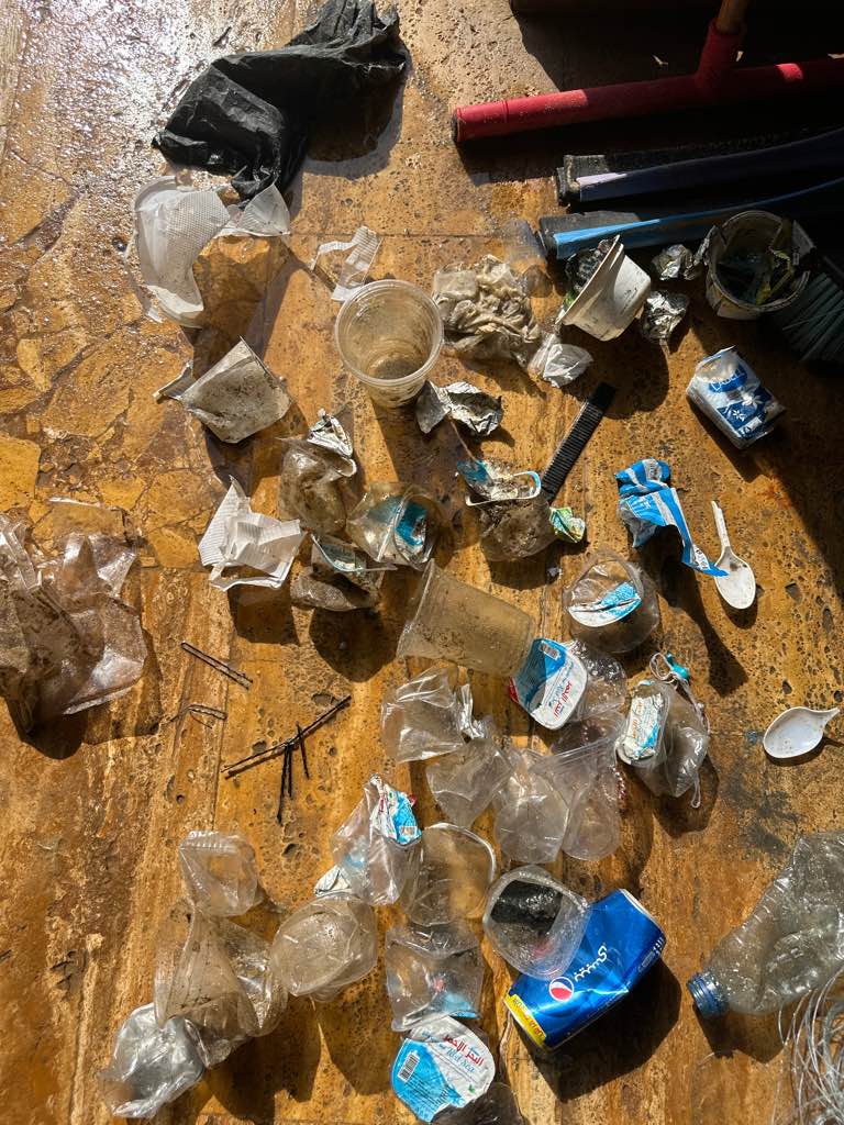
2022 Avalon Harbor Underwater Cleanup
Kayla Feairheller
2
10.00
46
25.00
5.00
estimated
8600.00
On
pounds
I have debris data to report
2
Calm (glassy to rippled) for waves 0 – 0.1 meter high ft2
feet
other
1
United States
State\Province
CA
City
Avalon
Map Help


Dive Location

If you know your survey site coordinates, enter them manually in decimal degrees using WGS84 Map Datum. Use the minus sign for latitudes south of the equator and longitudes west of the Prime Meridian to 180 degrees.

If you do not know your survey site coordinates, click the “Map Location” tab to use the map to zoom into your survey site and drop the pin on the map to fall within your survey dive site in the water (not on land or the beach). Ensure you zoom in as much as possible to ensure data accuracy.

Entangled Help


Use the vertical tabs below to record any entangled animals you found of each type.

Ecosystem Other
sandy bottom

Casino Point Dive Park

rock

33.349205729857, -118.32527909682

Kayla Feairheller
5
2
0.50
44
81.00
5.00
estimated
8500.00
On
pounds
I have debris data to report
Calm (glassy to rippled) for waves 0 – 0.1 meter high ft2
feet
kelp
1
1
United States
Map Help


Dive Location

If you know your survey site coordinates, enter them manually in decimal degrees using WGS84 Map Datum. Use the minus sign for latitudes south of the equator and longitudes west of the Prime Meridian to 180 degrees.

If you do not know your survey site coordinates, click the “Map Location” tab to use the map to zoom into your survey site and drop the pin on the map to fall within your survey dive site in the water (not on land or the beach). Ensure you zoom in as much as possible to ensure data accuracy.

Entangled Help


Use the vertical tabs below to record any entangled animals you found of each type.

Woods Cove

7
rock

33.526533967274, -117.77069668896

Beach Cities Scuba PADI AWARE Week 2021
Swim trunks - did this person leave the beach naked?!
Beach Cities Scuba
Kayla Feairheller
10
10
3
30.00
31
32.00
5.00
estimated
2000.00
On
pounds
I have debris data to report
Slight for waves 0.5 -1.25 meter high
1
ft2
feet
kelp
1
United States
State\Province
CA
City
Laguna Beach
Map Help


Dive Location

If you know your survey site coordinates, enter them manually in decimal degrees using WGS84 Map Datum. Use the minus sign for latitudes south of the equator and longitudes west of the Prime Meridian to 180 degrees.

If you do not know your survey site coordinates, click the “Map Location” tab to use the map to zoom into your survey site and drop the pin on the map to fall within your survey dive site in the water (not on land or the beach). Ensure you zoom in as much as possible to ensure data accuracy.

Entangled Help


Use the vertical tabs below to record any entangled animals you found of each type.

Brooks Street Beach

seagrass

33.532756972486, -117.77769167547

Beach Cities Scuba PADI AWARE Week 2021
Beach Cities Scuba
Kayla Feairheller
3
0.00
25
20.00
5.00
measured
1700.00
On
kilograms
Our Survey Site was free of debris
Moderate to rough for waves greater than 1.25 meters ft2
feet
seagrass
United States
State\Province
CA
City
Laguna Beach
Map Help


Dive Location

If you know your survey site coordinates, enter them manually in decimal degrees using WGS84 Map Datum. Use the minus sign for latitudes south of the equator and longitudes west of the Prime Meridian to 180 degrees.

If you do not know your survey site coordinates, click the “Map Location” tab to use the map to zoom into your survey site and drop the pin on the map to fall within your survey dive site in the water (not on land or the beach). Ensure you zoom in as much as possible to ensure data accuracy.

Entangled Help


Use the vertical tabs below to record any entangled animals you found of each type.

Neptune nest

sand

-18.364779926869, 177.99443479781

Heavy rainfall, river runoff.
Take away food container
Raining
Coral coast divers
Axcel mannoury
1
6
0.20
50
25.00
14.00
estimated
30.00
On
pounds
I have debris data to report
Smooth (wavelets) for waves 0.1 - 0.5 meter high m2
meters
rocky reef
Fiji
City
Pacific Harbour
Map Help


Dive Location

If you know your survey site coordinates, enter them manually in decimal degrees using WGS84 Map Datum. Use the minus sign for latitudes south of the equator and longitudes west of the Prime Meridian to 180 degrees.

If you do not know your survey site coordinates, click the “Map Location” tab to use the map to zoom into your survey site and drop the pin on the map to fall within your survey dive site in the water (not on land or the beach). Ensure you zoom in as much as possible to ensure data accuracy.

Entangled Help


Use the vertical tabs below to record any entangled animals you found of each type.

Red Slave

2

12.02636, -68.251795

coral
Back on a Clean Up with former colleague Fenna
smooth and calm
AB-Dive
Dewi
1
2
1
21
9
2.00
60
20.00
10.00
measured
550.00
plastic
On
kilograms
I have debris data to report
Smooth (wavelets) for waves 0.1 - 0.5 meter high
plastic bottle
crabs
Released Unharmed
5
m2
meters
coral reef
1
Netherlands Antilles
State\Province
Bonaire
City
Kralendijk
Map Help


Dive Location

If you know your survey site coordinates, enter them manually in decimal degrees using WGS84 Map Datum. Use the minus sign for latitudes south of the equator and longitudes west of the Prime Meridian to 180 degrees.

If you do not know your survey site coordinates, click the “Map Location” tab to use the map to zoom into your survey site and drop the pin on the map to fall within your survey dive site in the water (not on land or the beach). Ensure you zoom in as much as possible to ensure data accuracy.

Entangled Help


Use the vertical tabs below to record any entangled animals you found of each type.

Yellowstone Reef S25202

4
11
2
0

29.410279024404, 34.977447650128

0
0
0
seagrass
0
1
0
3
0
Windy
6
1
1
Hair pins
Hair wrap
Kleenex pack
Deep Blue Dive Center
Catherine
0
0
0
30
0
0
0
0
0
0
0
0
0
0
0
0
0
0
0
2
0
0
0
0
0
0
2
0
0
0
0
0
0
0
0
0
1.00
60
20.00
3.00
1
estimated
0
1
5595.51
0
0
0
0
0
0
On
kilograms
0
I have debris data to report
0
0
0
Calm (glassy to rippled) for waves 0 – 0.1 meter high
0
0
0
0
0
0
0
m2
1
0
meters
coral reef
0
0
0
0
0
0
0
0
0
0
0
0
0
0
0
0
0
1
0
0
0
0
0
0
0
0
0
0
0
Jordan
City
Aqaba
Map Help


Dive Location

If you know your survey site coordinates, enter them manually in decimal degrees using WGS84 Map Datum. Use the minus sign for latitudes south of the equator and longitudes west of the Prime Meridian to 180 degrees.

If you do not know your survey site coordinates, click the “Map Location” tab to use the map to zoom into your survey site and drop the pin on the map to fall within your survey dive site in the water (not on land or the beach). Ensure you zoom in as much as possible to ensure data accuracy.

Entangled Help


Use the vertical tabs below to record any entangled animals you found of each type.

Reethi Faru Reaort

9
0
0
0

5.490604684542, 72.938159290561

0
0
0
coral
0
0
0
5
0
The trash boat attach at the jetty
Workers that bring the trash out of island are not very careful about throwing stuff on the boat and often fall in the sea
Printer
1
1
Printer
Umbrella
Stephanie Skermer
0
0
0
0
0
0
0
0
0
0
0
0
0
0
2
0
0
0
0
3
0
0
0
0
3
0
4
0
0
0
0
0
0
0
0
0
5.00
60
28.00
5.00
7
estimated
0
0
3851.84
0
0
0
0
0
Long ropes
0
On
kilograms
0
I have debris data to report
0
0
0
Smooth (wavelets) for waves 0.1 - 0.5 meter high
0
0
0
0
0
0
0
m2
0
0
meters
coral reef
0
0
0
0
0
0
0
0
0
0
0
0
0
0
0
0
0
0
0
0
0
0
0
0
0
0
0
0
0
Maldives
City
Reethi Faru
Map Help


Dive Location

If you know your survey site coordinates, enter them manually in decimal degrees using WGS84 Map Datum. Use the minus sign for latitudes south of the equator and longitudes west of the Prime Meridian to 180 degrees.

If you do not know your survey site coordinates, click the “Map Location” tab to use the map to zoom into your survey site and drop the pin on the map to fall within your survey dive site in the water (not on land or the beach). Ensure you zoom in as much as possible to ensure data accuracy.

Entangled Help


Use the vertical tabs below to record any entangled animals you found of each type.

La Balsa River

12
silt
1
30
2

-26.684933730375, 153.13532856727

This cleanup was filmed and posted to youtube with the link: https://www.youtube.com/watch?v=23dR_SMh6ok
There is a very high number of fishermen in the area. It is also recreationally used for BBQs and events
Cardboard packaging
Calm waters, no more then 15 knots of wind, Sunny above water, small swells
Blue Horizon Diving
Holly Wakely
5
1
1
1
3.00
62
6.00
2.00
3
estimated
6591.00
Fishing line
Fishing Lures
Rope Fragments
On
kilograms
I have debris data to report
Calm (glassy to rippled) for waves 0 – 0.1 meter high m2
1
meters
rocky reef
Australia
State\Province
Queensland
City
mooloolaba
Map Help


Dive Location

If you know your survey site coordinates, enter them manually in decimal degrees using WGS84 Map Datum. Use the minus sign for latitudes south of the equator and longitudes west of the Prime Meridian to 180 degrees.

If you do not know your survey site coordinates, click the “Map Location” tab to use the map to zoom into your survey site and drop the pin on the map to fall within your survey dive site in the water (not on land or the beach). Ensure you zoom in as much as possible to ensure data accuracy.

Entangled Help


Use the vertical tabs below to record any entangled animals you found of each type.

Round Valley Reservoir

0
0
0
0

40.616849, -74.845044

0
0
0
gravel
0
0
0
0
0
Some rain
Blue Water Divers
Tom Bicknell
0
0
0
0
0
0
0
0
0
0
0
0
0
0
0
0
0
0
0
2
0
0
0
0
0
0
0
0
0
0
0
0
0
0
0
0
2.00
30
45.00
35.00
0
estimated
0
0
3435.63
0
0
0
0
0
0
On
pounds
0
I have debris data to report
1
0
0
Calm (glassy to rippled) for waves 0 – 0.1 meter high
0
0
0
0
0
0
0
m2
0
0
feet
other
0
0
0
0
0
0
0
0
0
0
0
0
0
0
0
0
0
1
0
0
0
0
0
0
0
0
0
0
0
United States
State\Province
NJ
City
Lebanon
Map Help


Dive Location

If you know your survey site coordinates, enter them manually in decimal degrees using WGS84 Map Datum. Use the minus sign for latitudes south of the equator and longitudes west of the Prime Meridian to 180 degrees.

If you do not know your survey site coordinates, click the “Map Location” tab to use the map to zoom into your survey site and drop the pin on the map to fall within your survey dive site in the water (not on land or the beach). Ensure you zoom in as much as possible to ensure data accuracy.

Entangled Help


Use the vertical tabs below to record any entangled animals you found of each type.

Ecosystem Other
Silt and gravel
Subscribe to