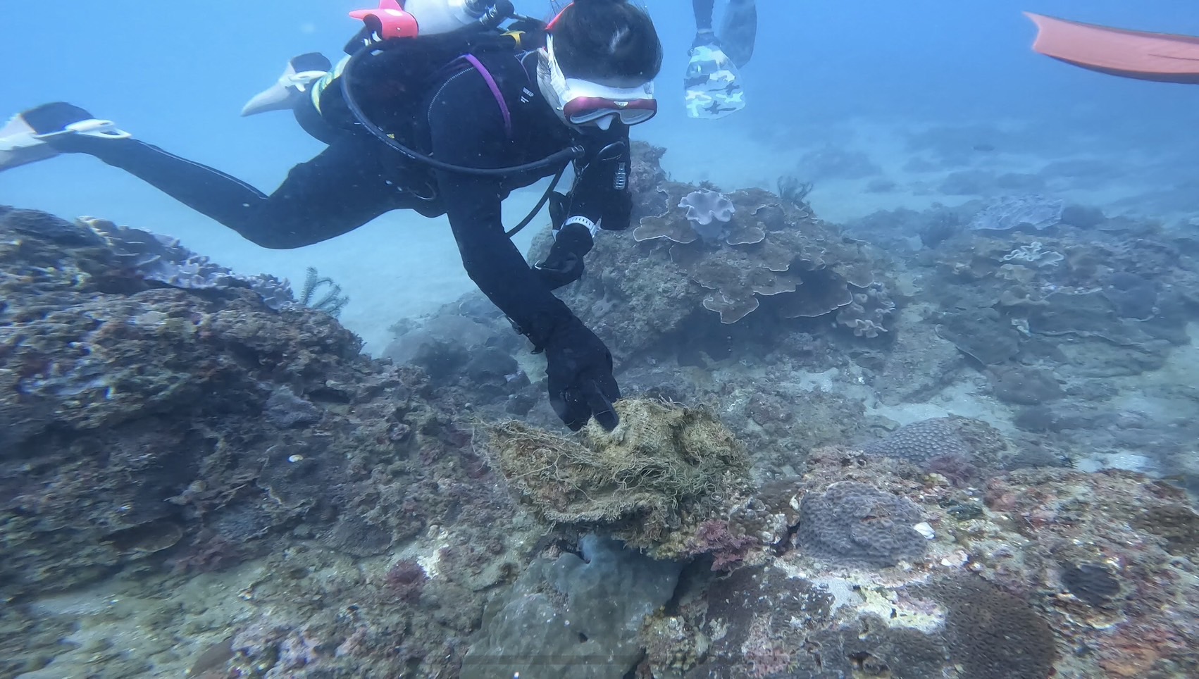
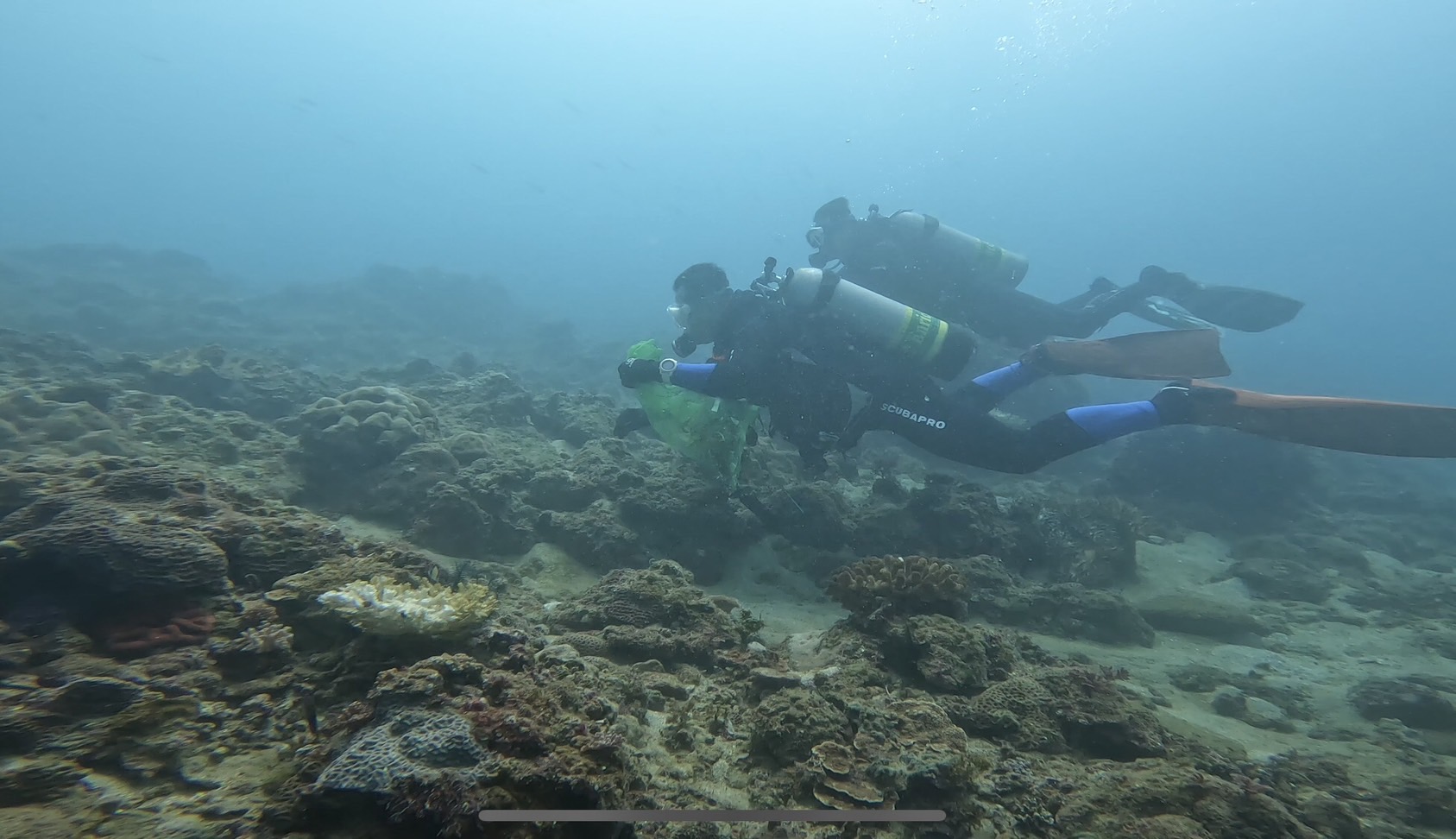
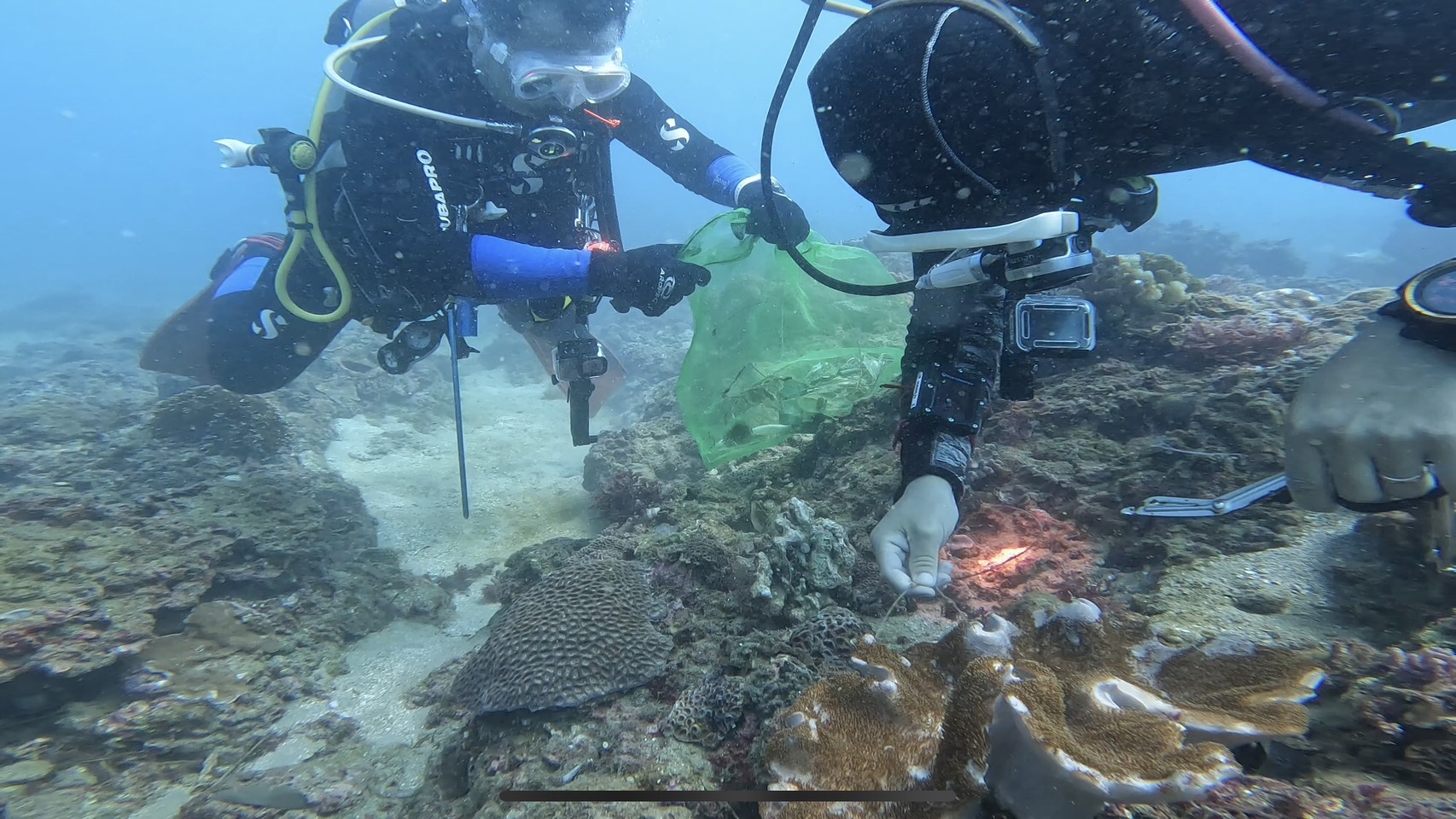
Long Kei Wan
20
20
5
sand
10
20
22.376110961436, 114.38200950623
Fine
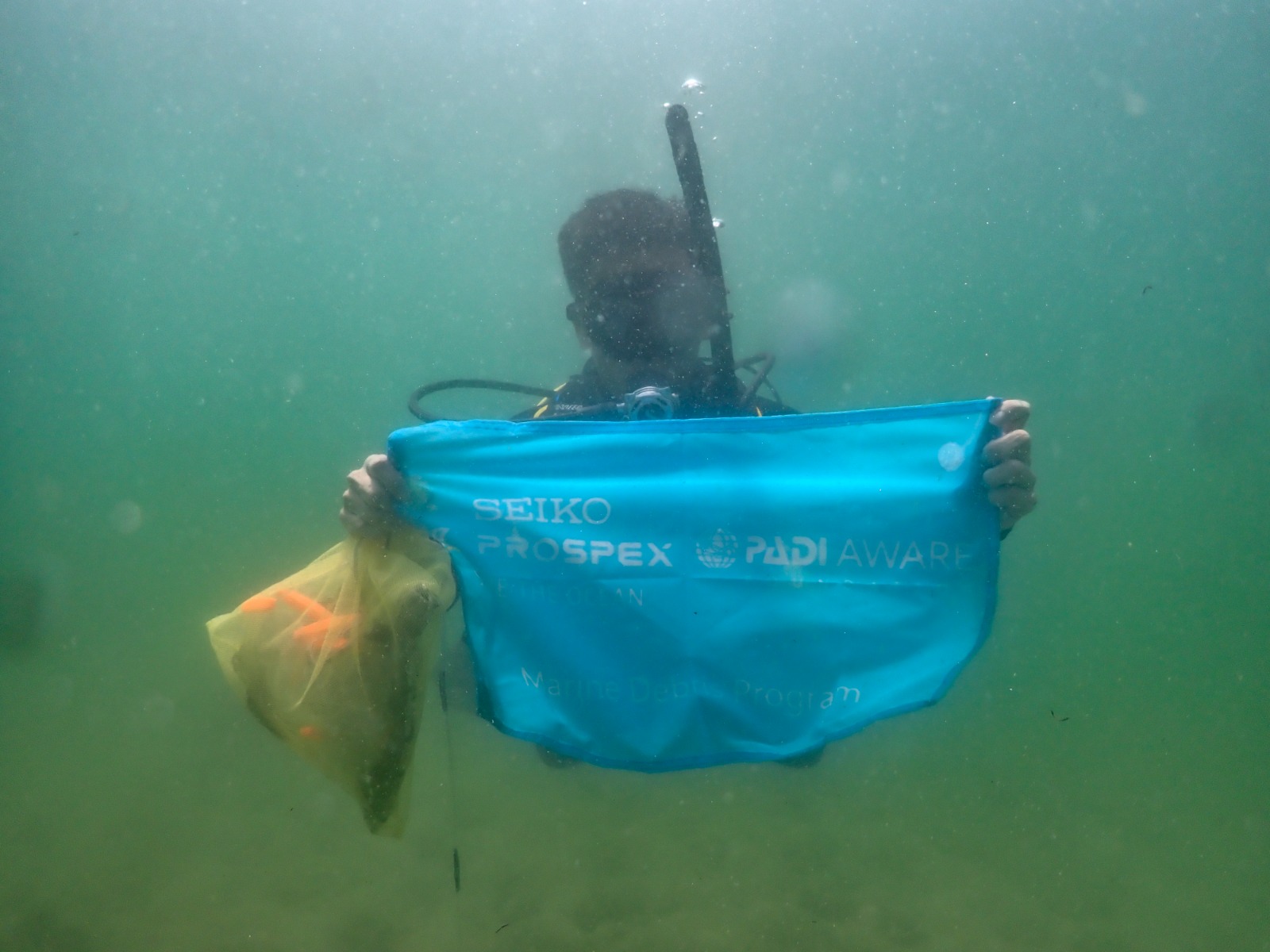
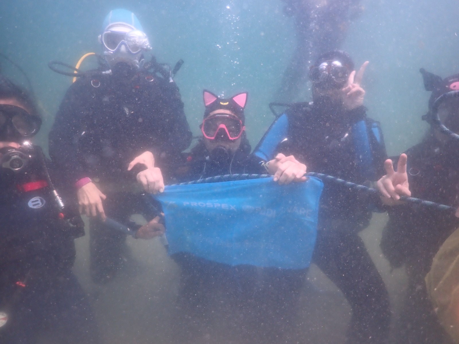
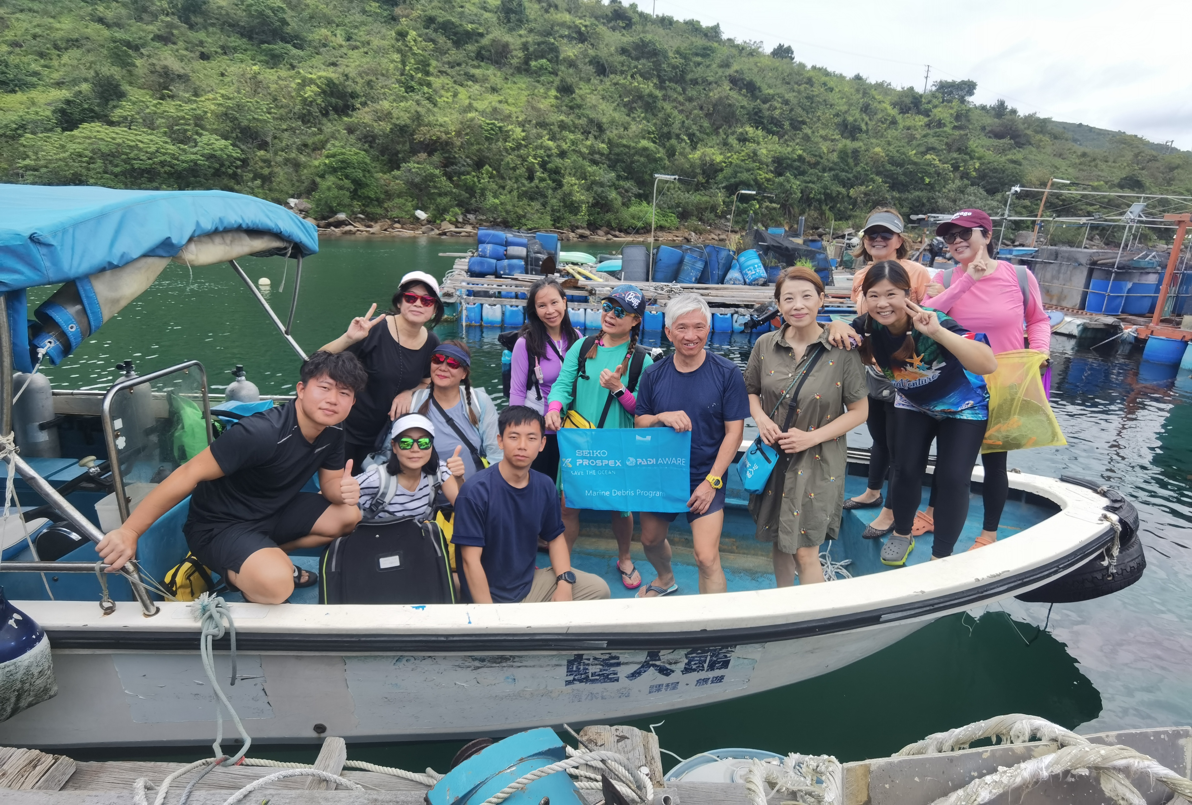
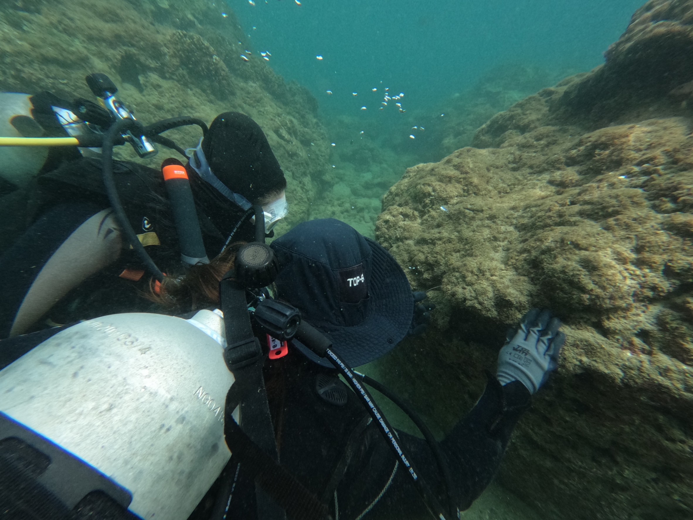
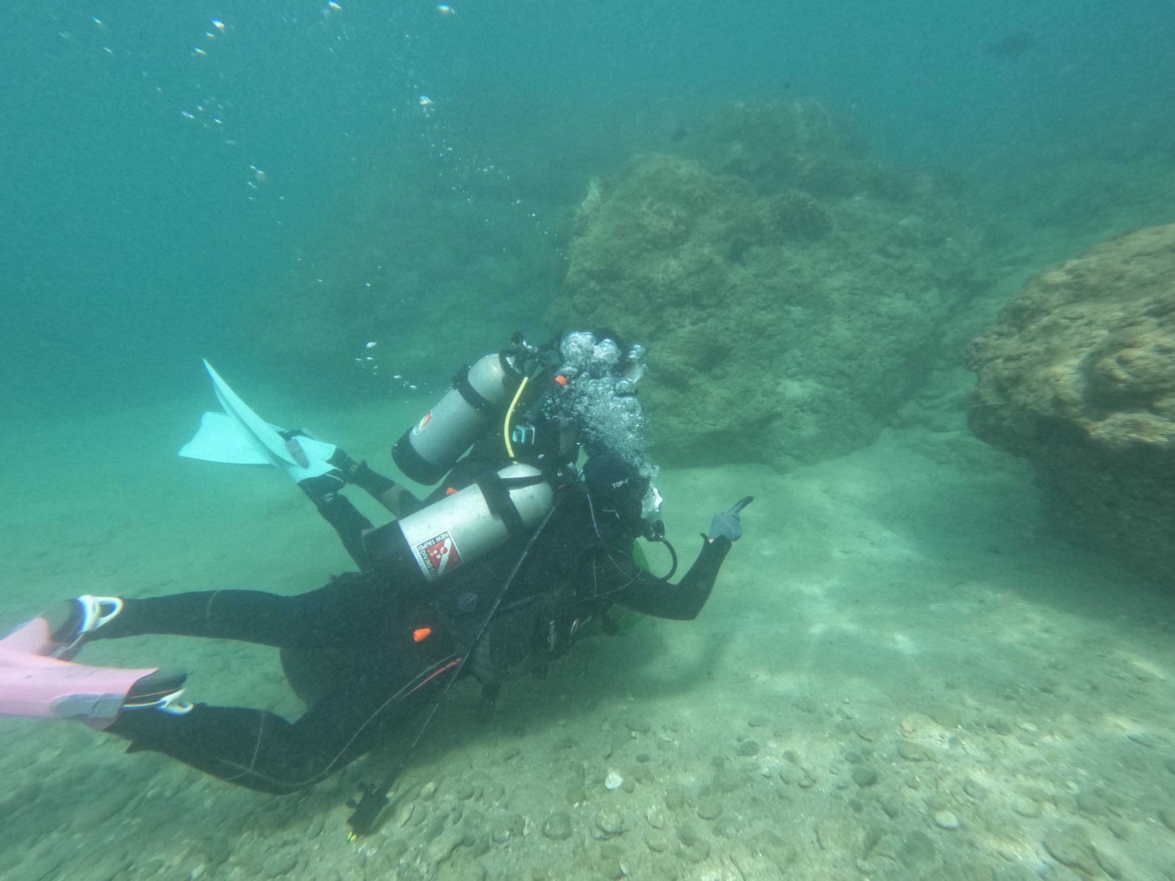
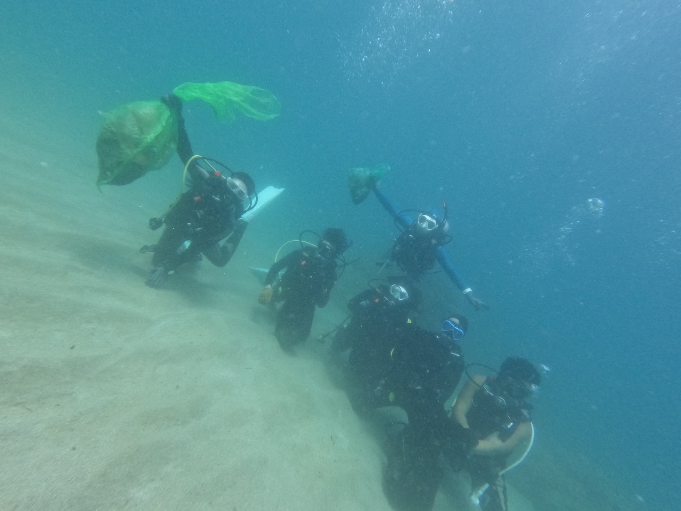
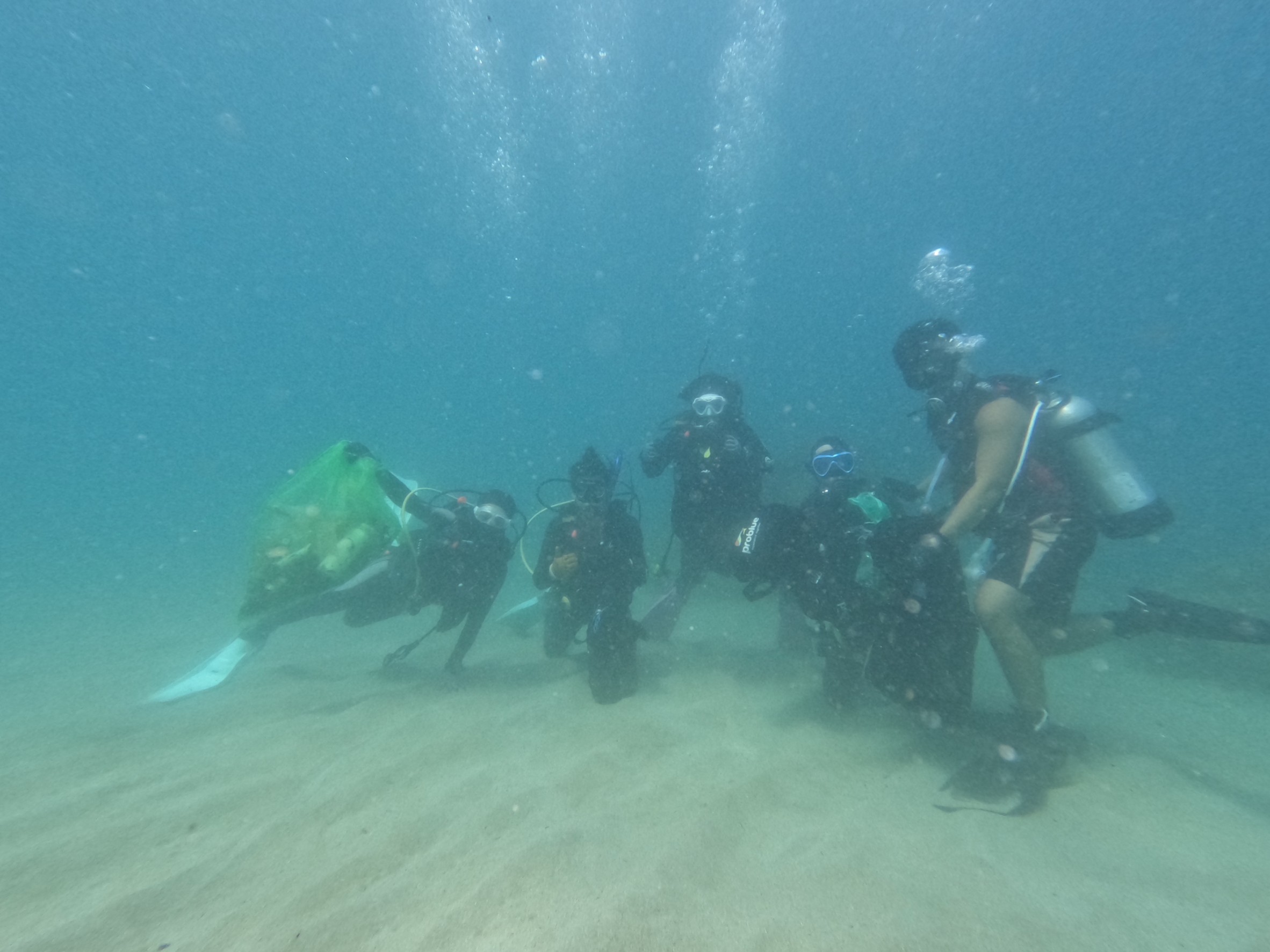
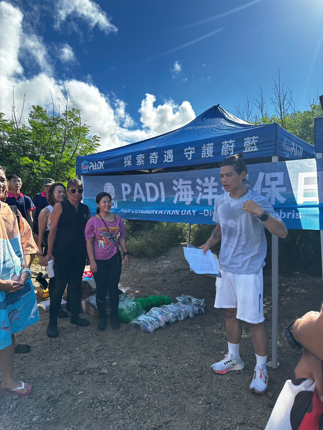
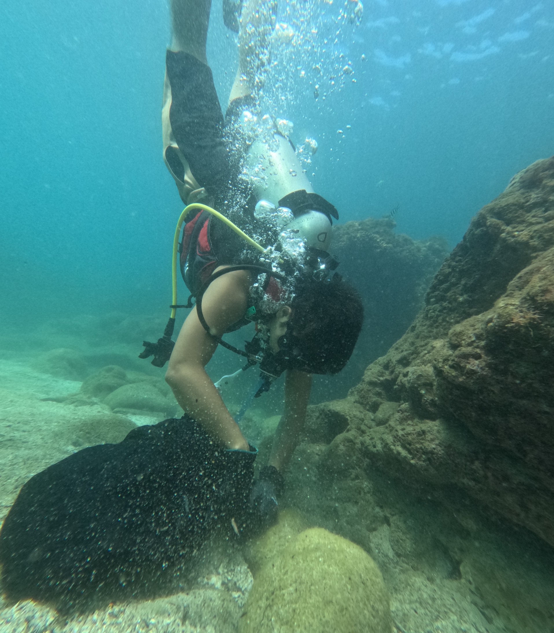
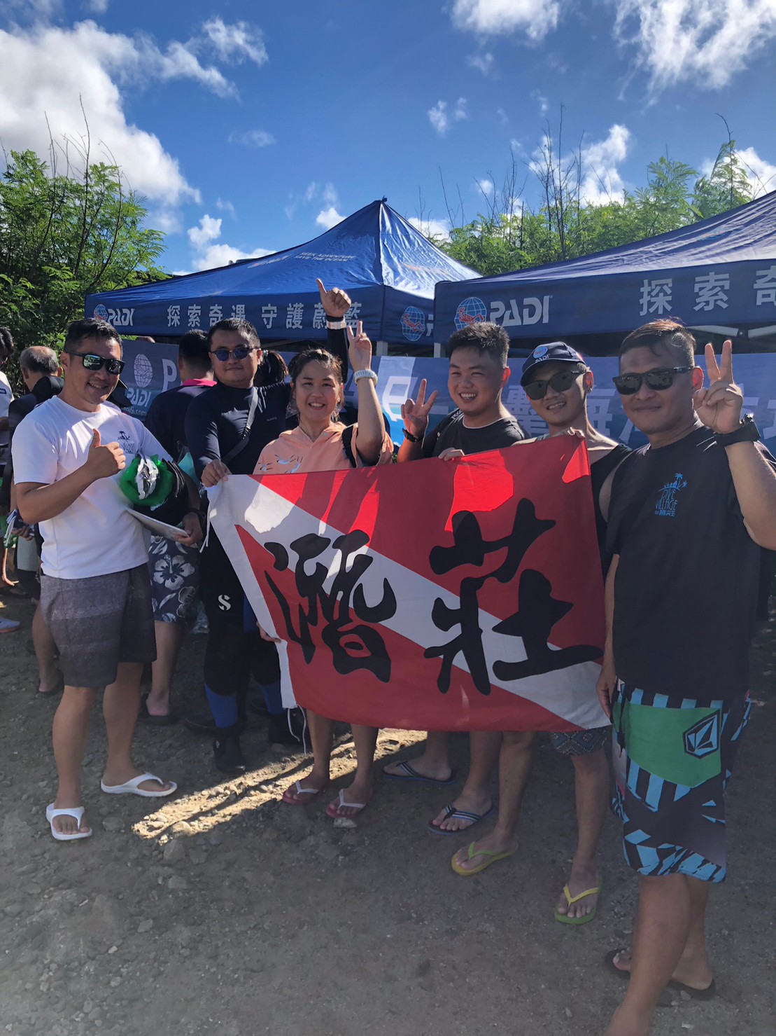
Diving Adventure
Eddie Poon
20
50
20
35
10
20
100
20
10
50.00
45
5.00
1.00
20
estimated
5
10
400.00
On
kilograms
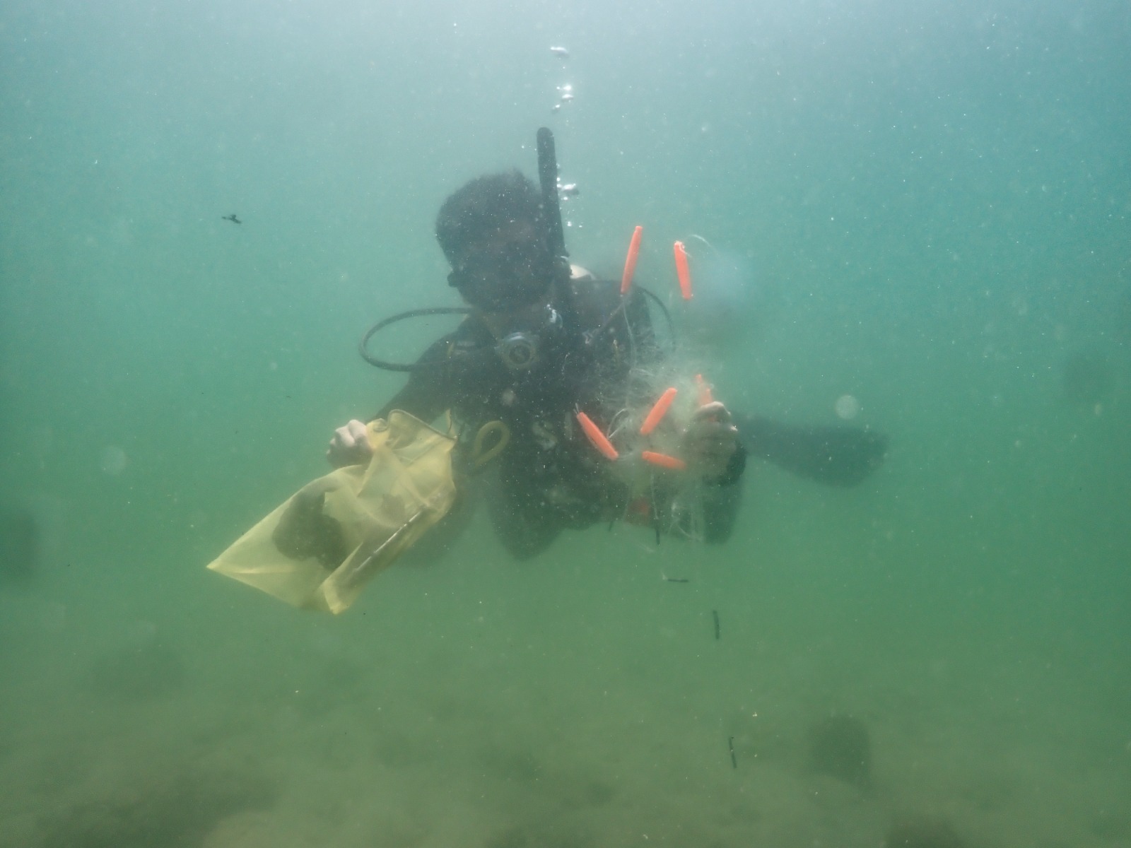
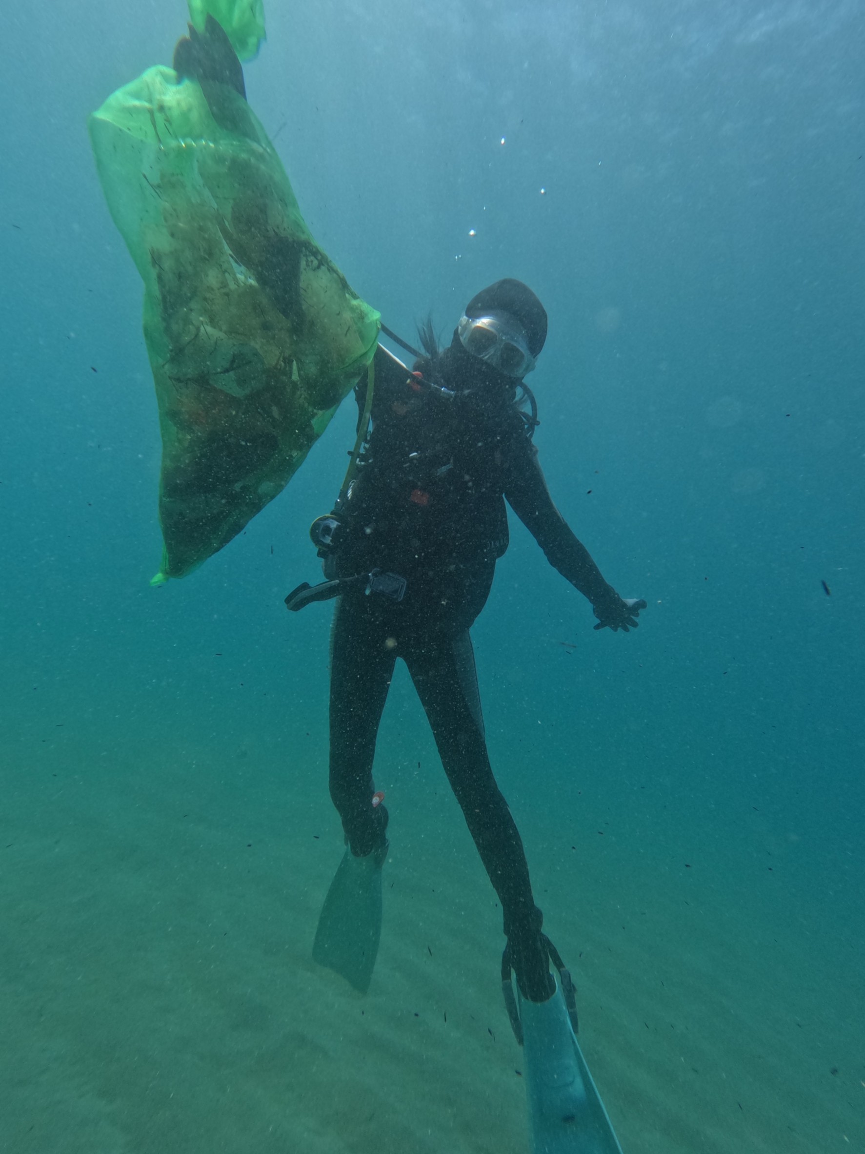
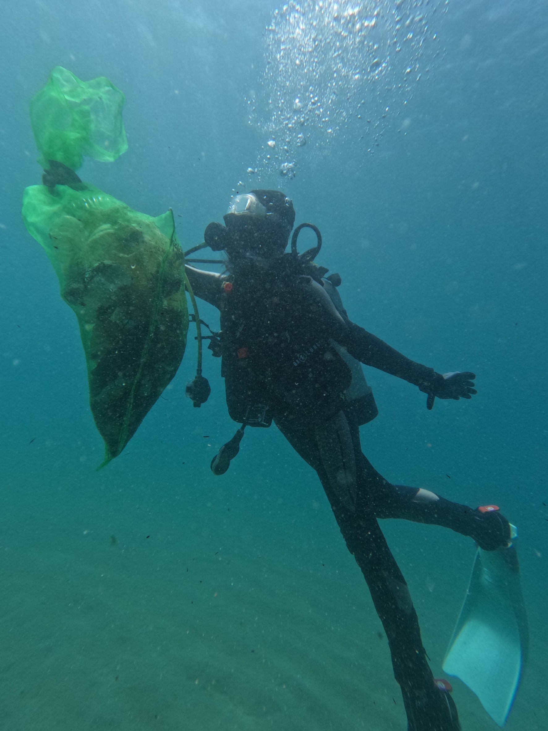
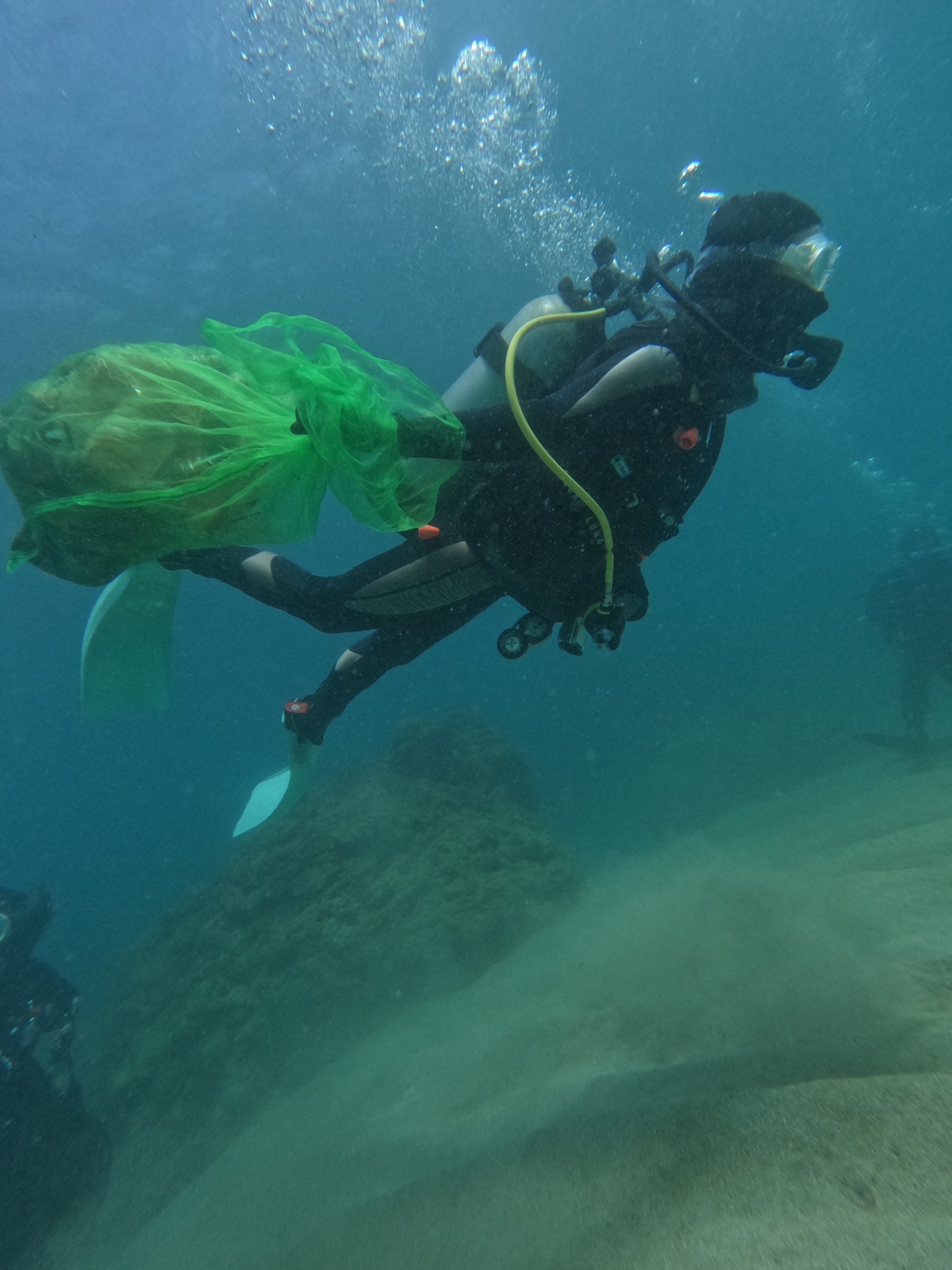
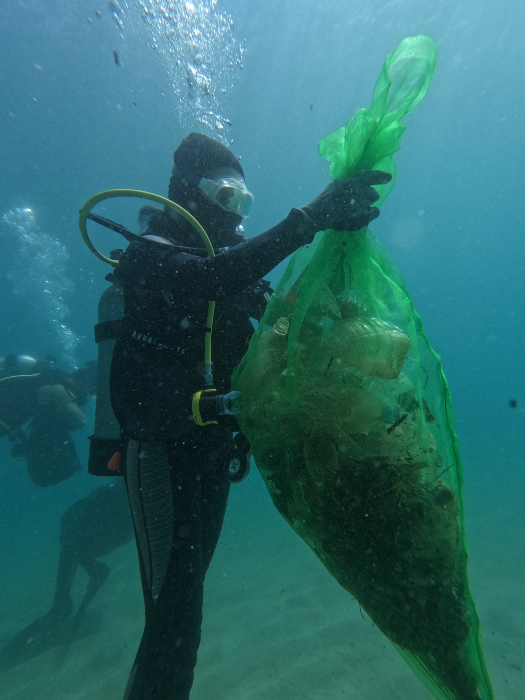
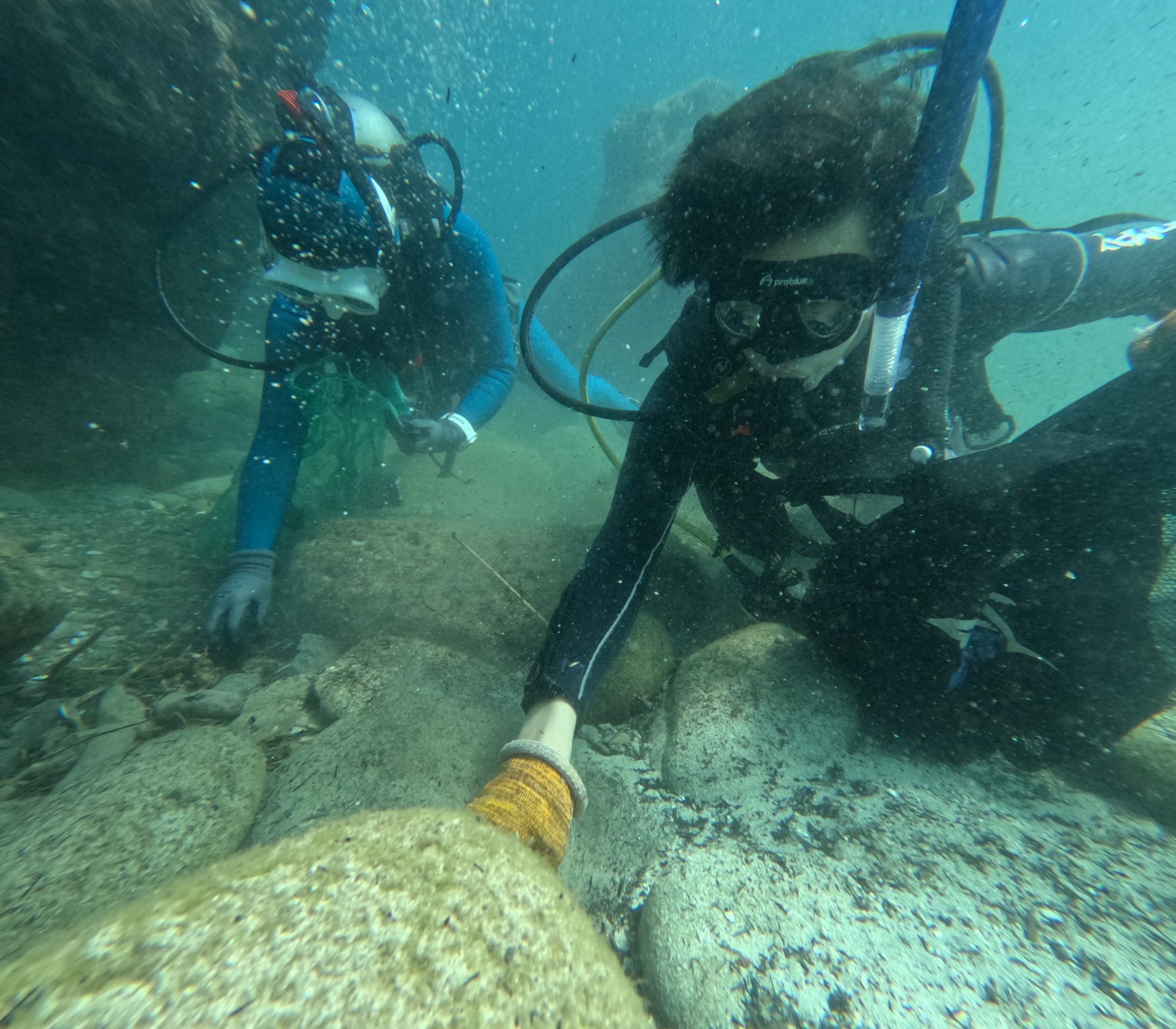
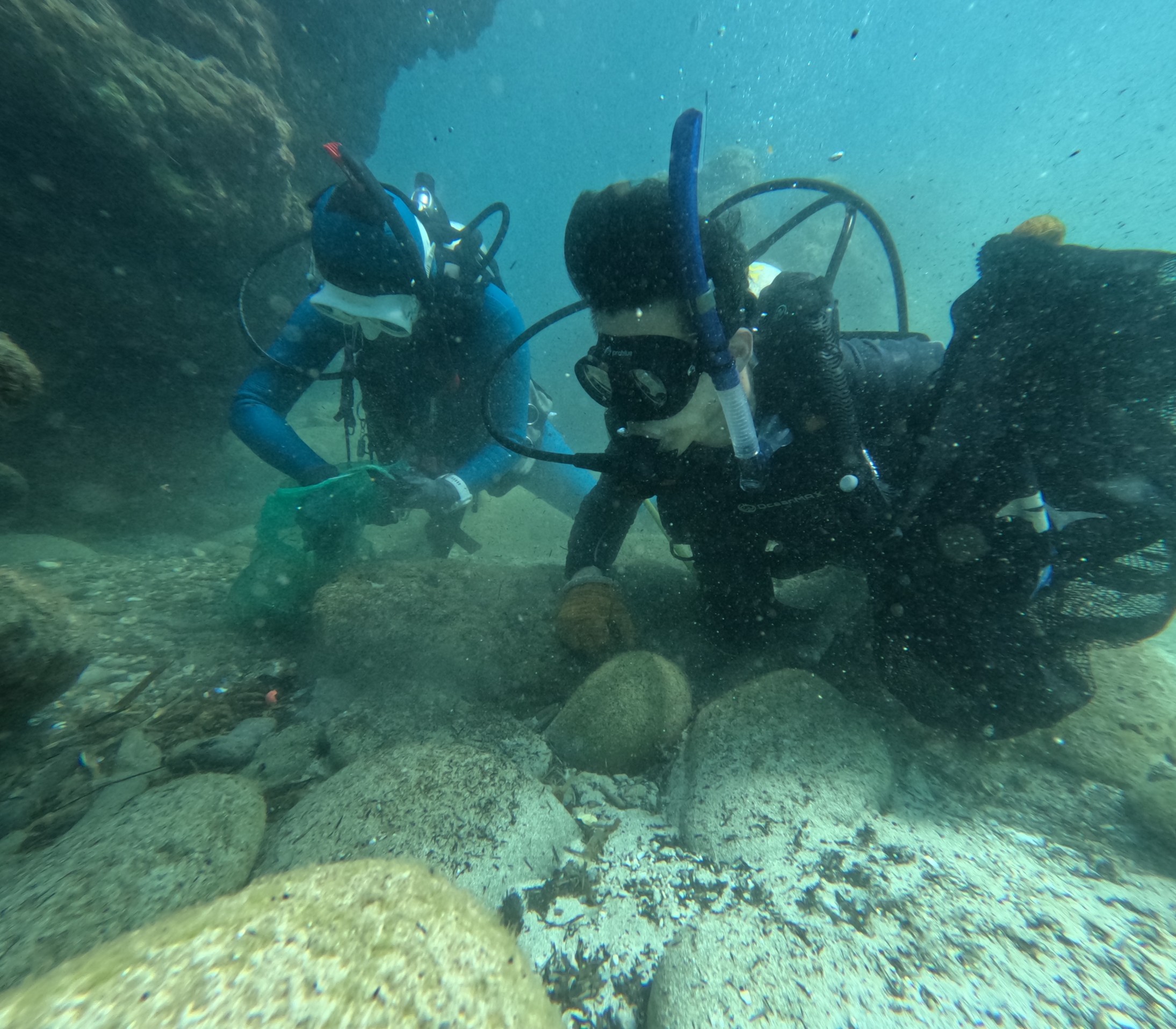
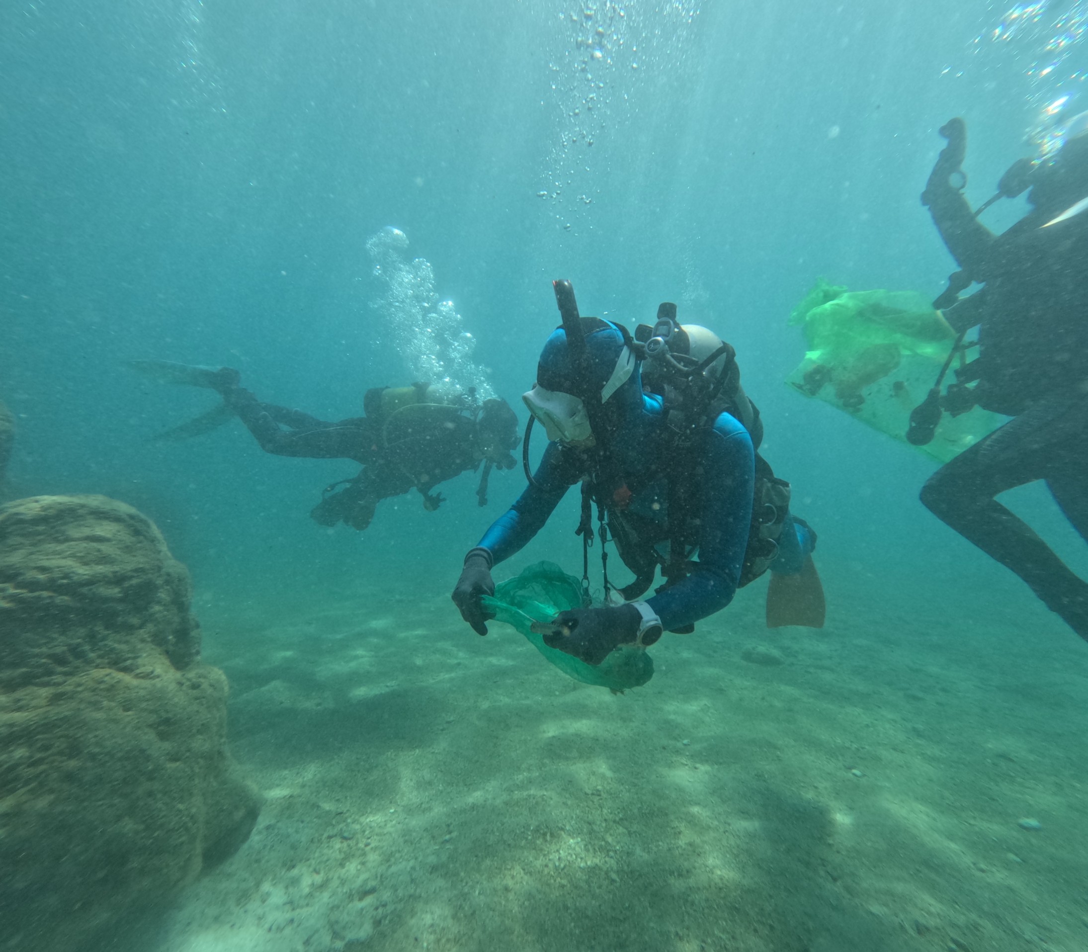
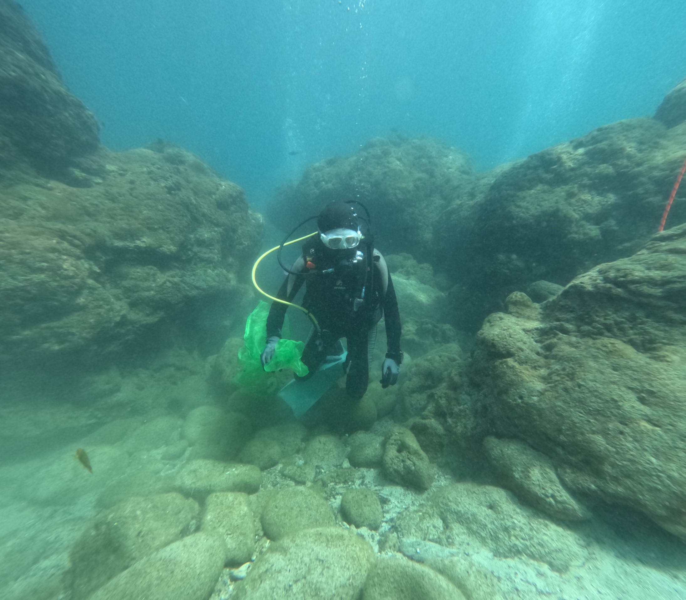
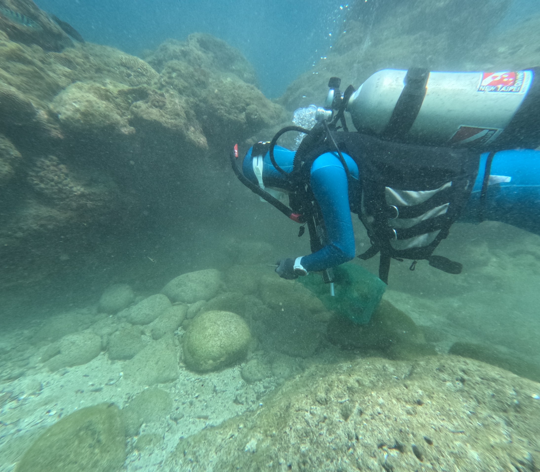
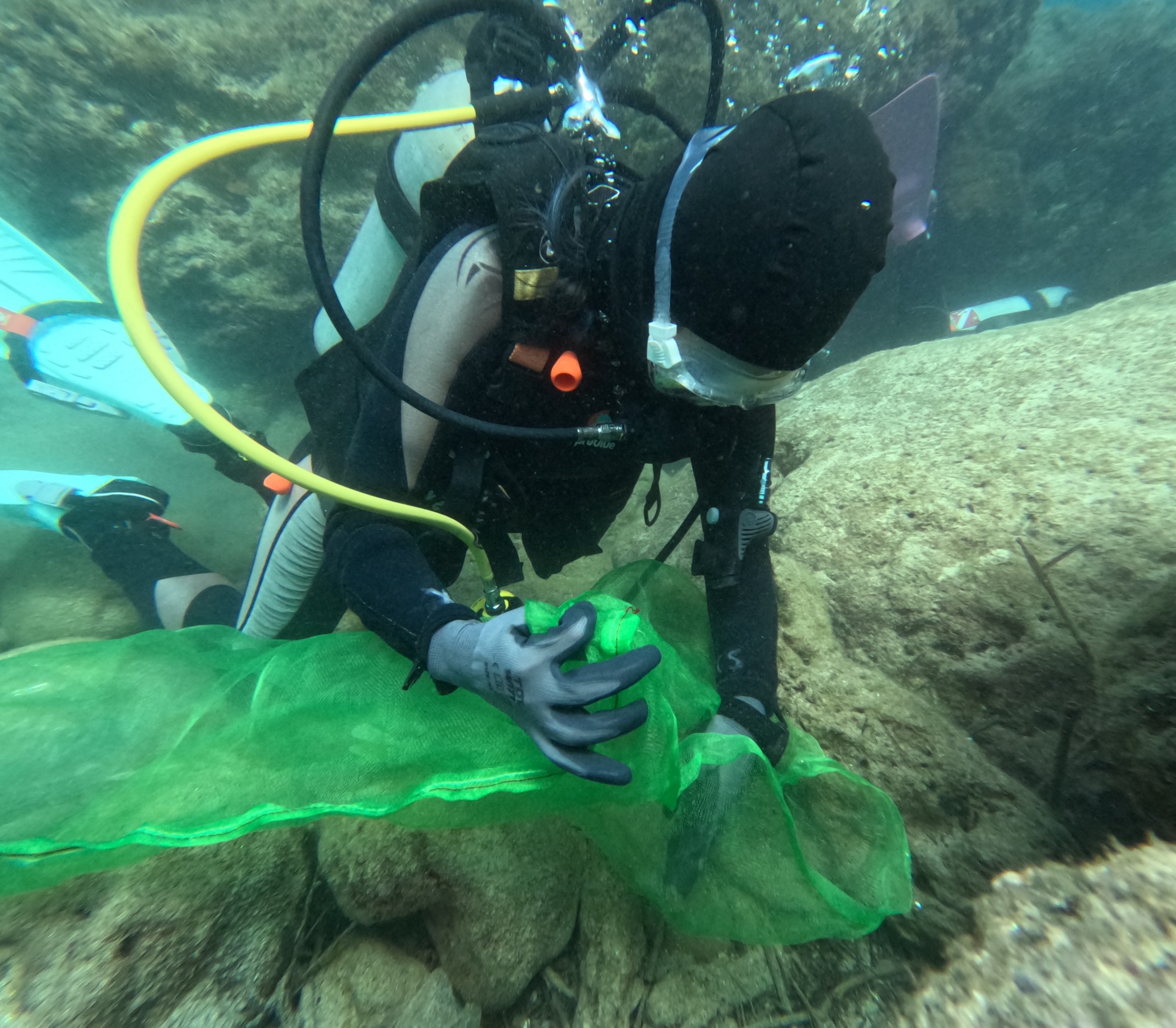
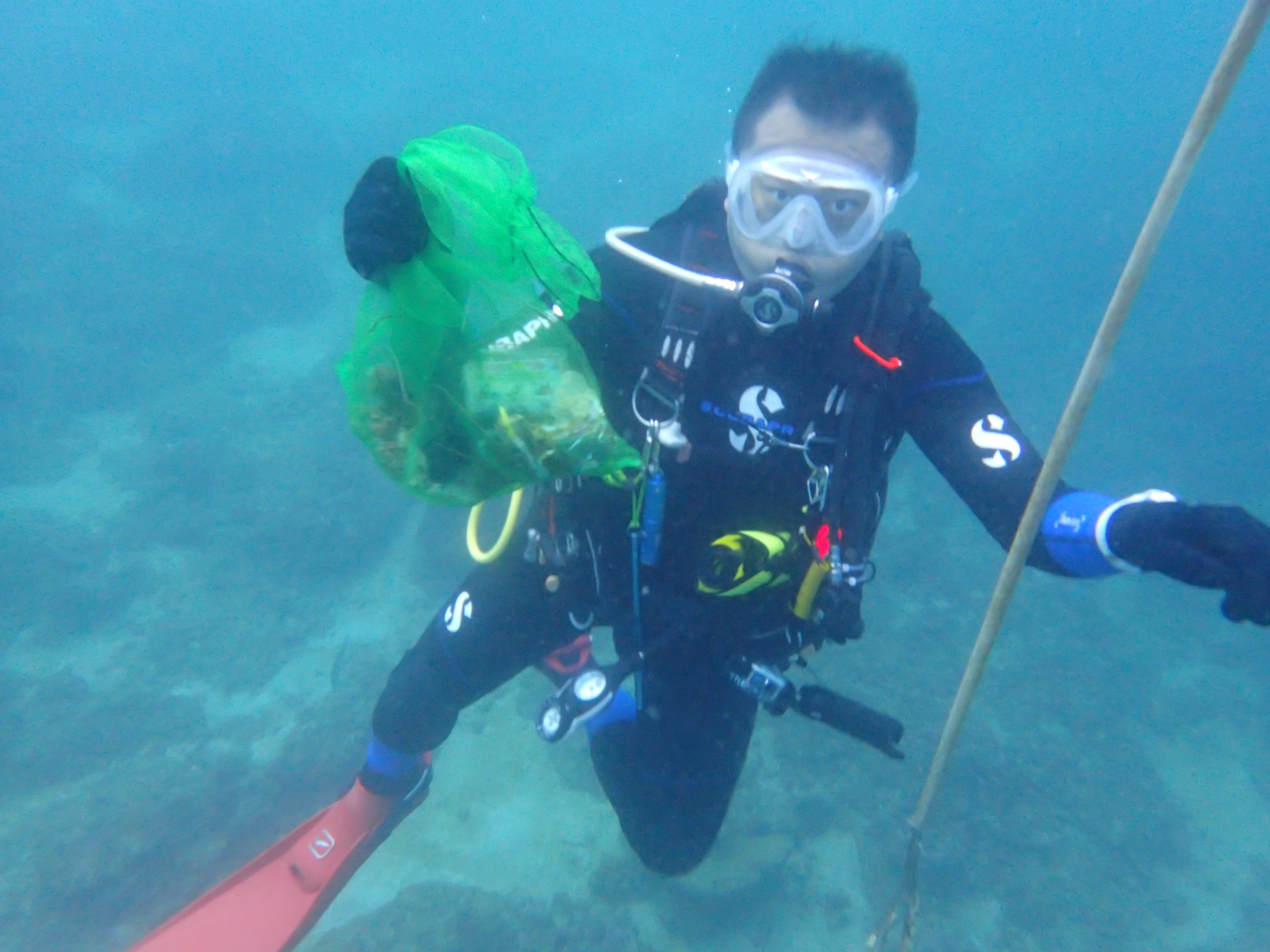
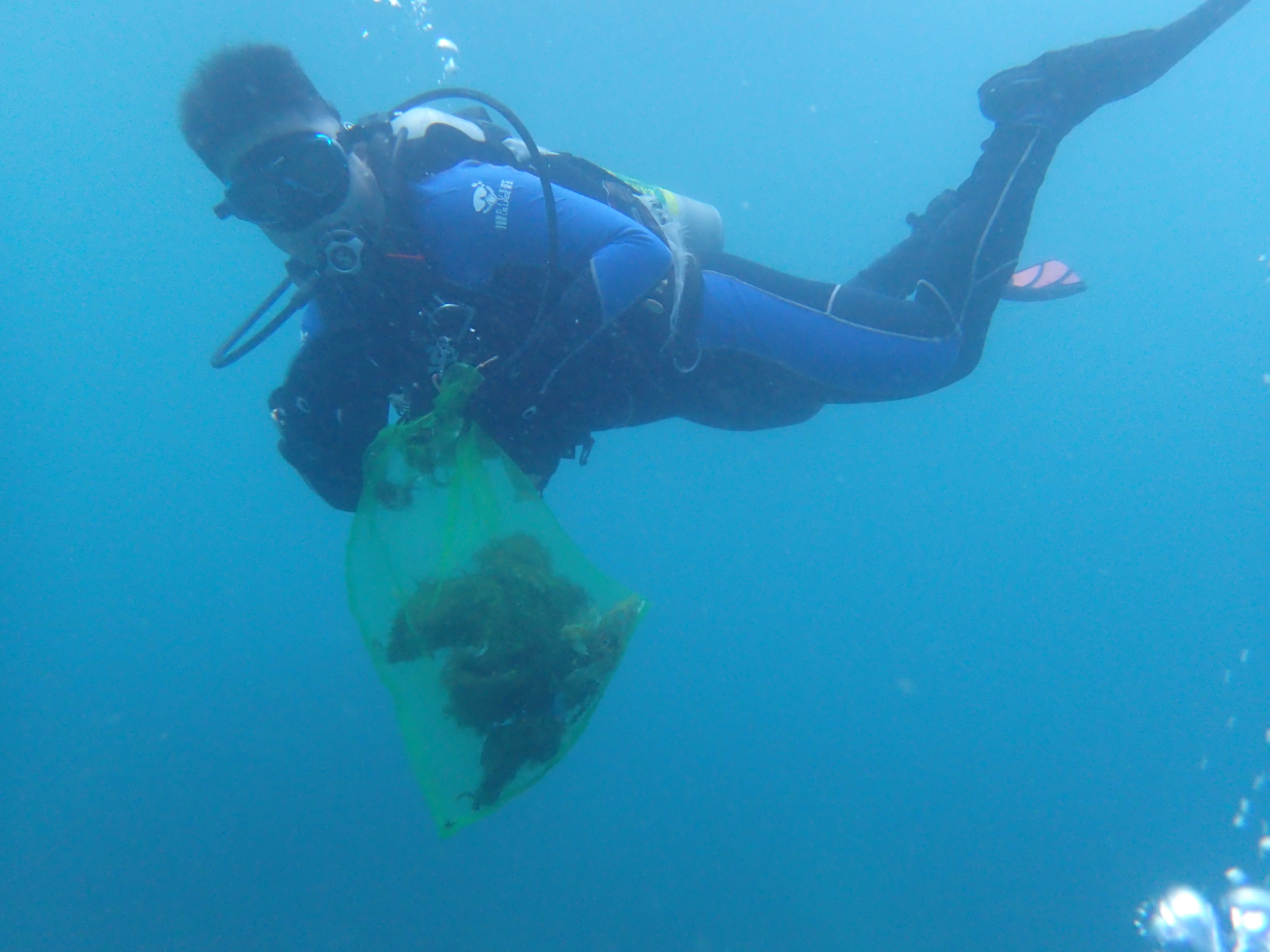
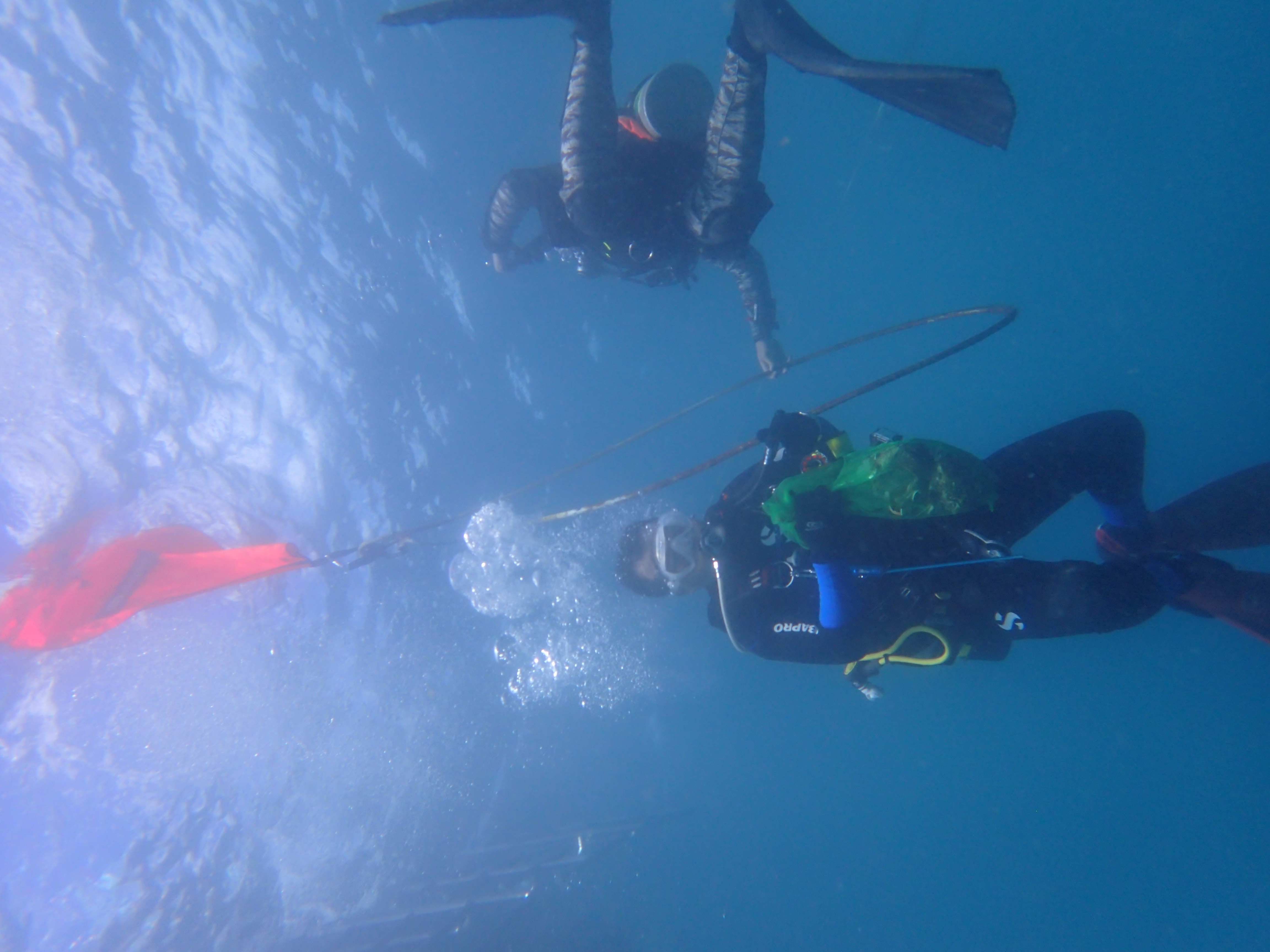
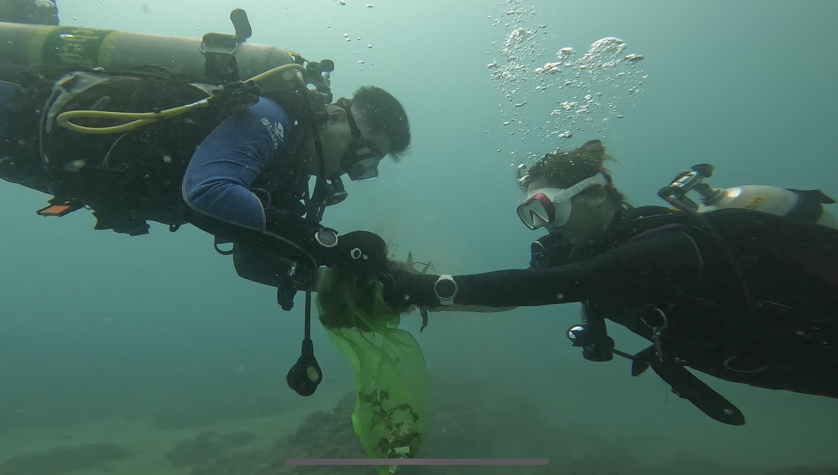
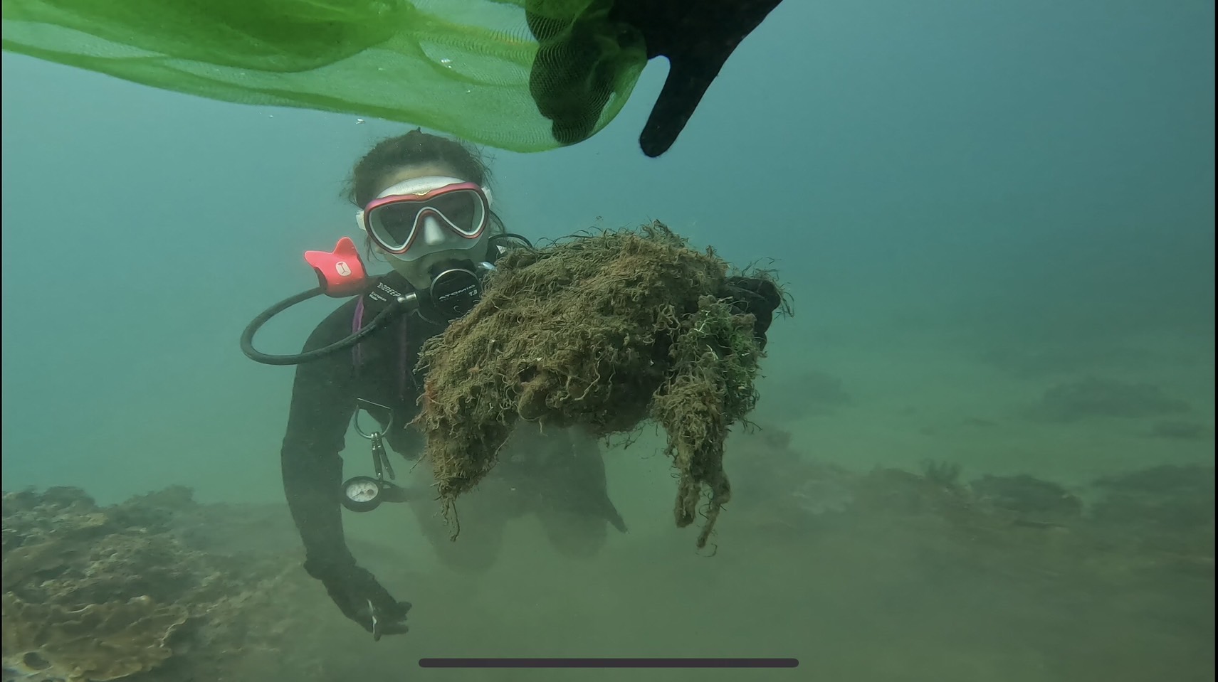
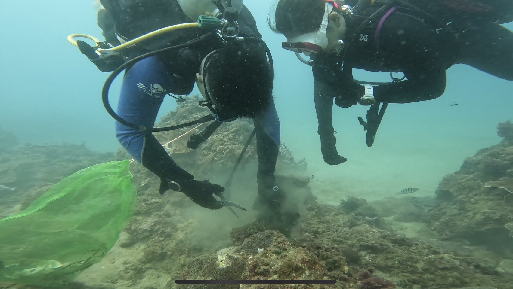
I have debris data to report
20
2
Calm (glassy to rippled) for waves 0 – 0.1 meter high
20
m2


meters
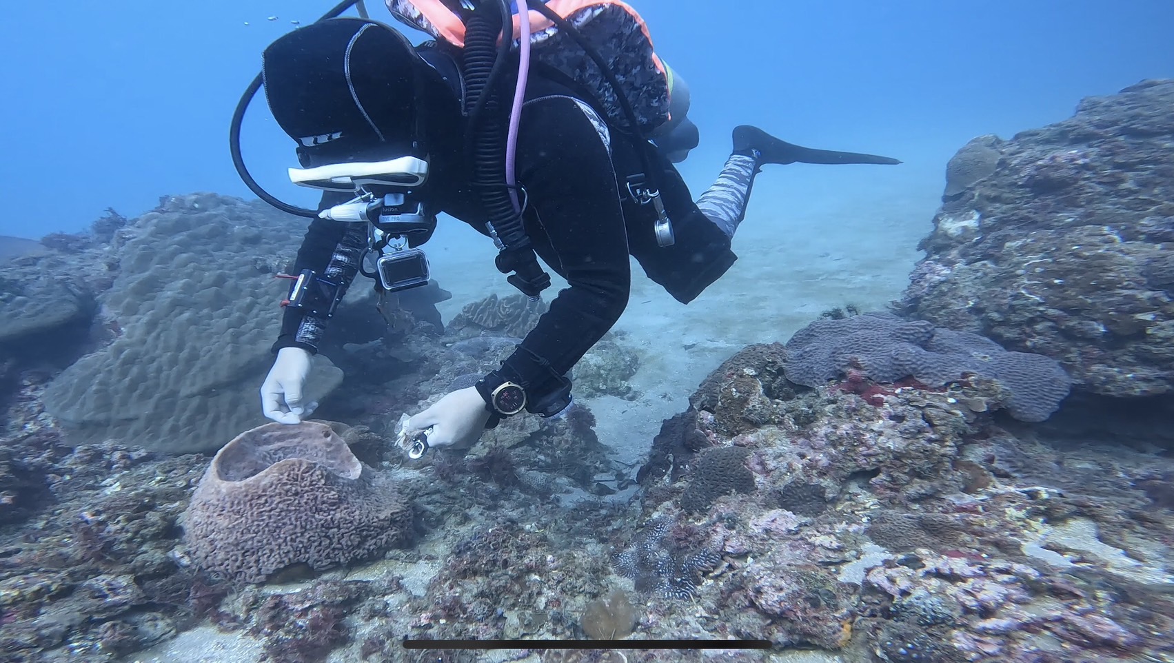
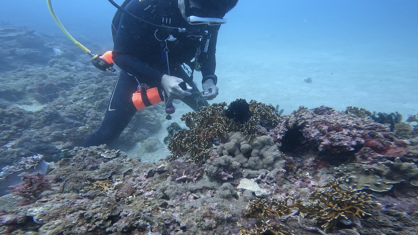
coral reef
City
Hong Kong
Map Help
Dive Location
If you know your survey site coordinates, enter them manually in decimal degrees using WGS84 Map Datum. Use the minus sign for latitudes south of the equator and longitudes west of the Prime Meridian to 180 degrees.
If you do not know your survey site coordinates, click the “Map Location” tab to use the map to zoom into your survey site and drop the pin on the map to fall within your survey dive site in the water (not on land or the beach). Ensure you zoom in as much as possible to ensure data accuracy.
Entangled Help