屏東縣後壁湖出水口右側
21.932305555556, 120.74522222222
36
23.3665101, 120.3550808
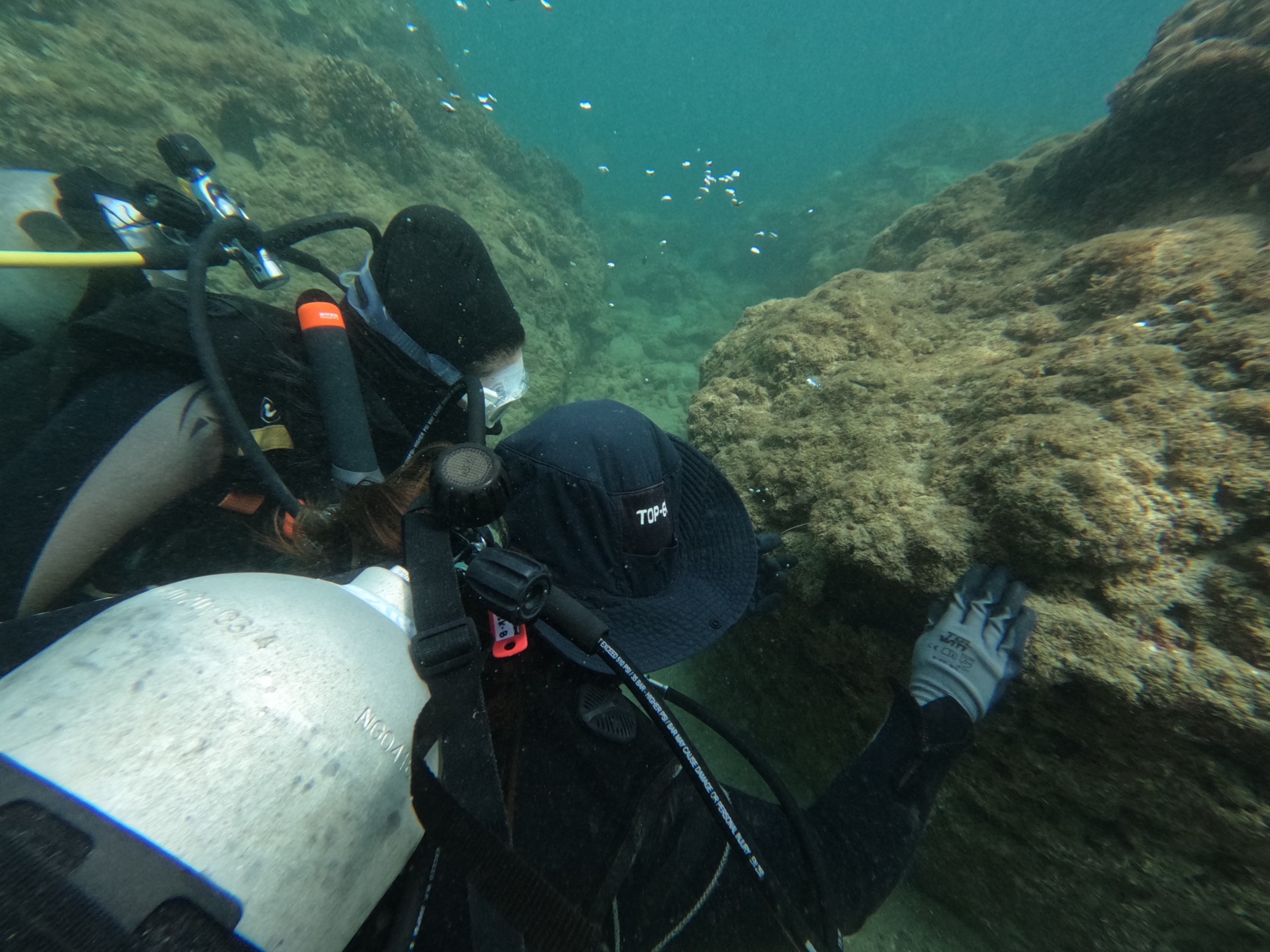
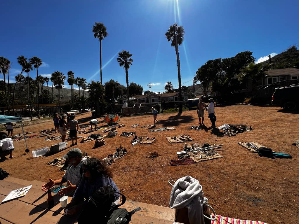
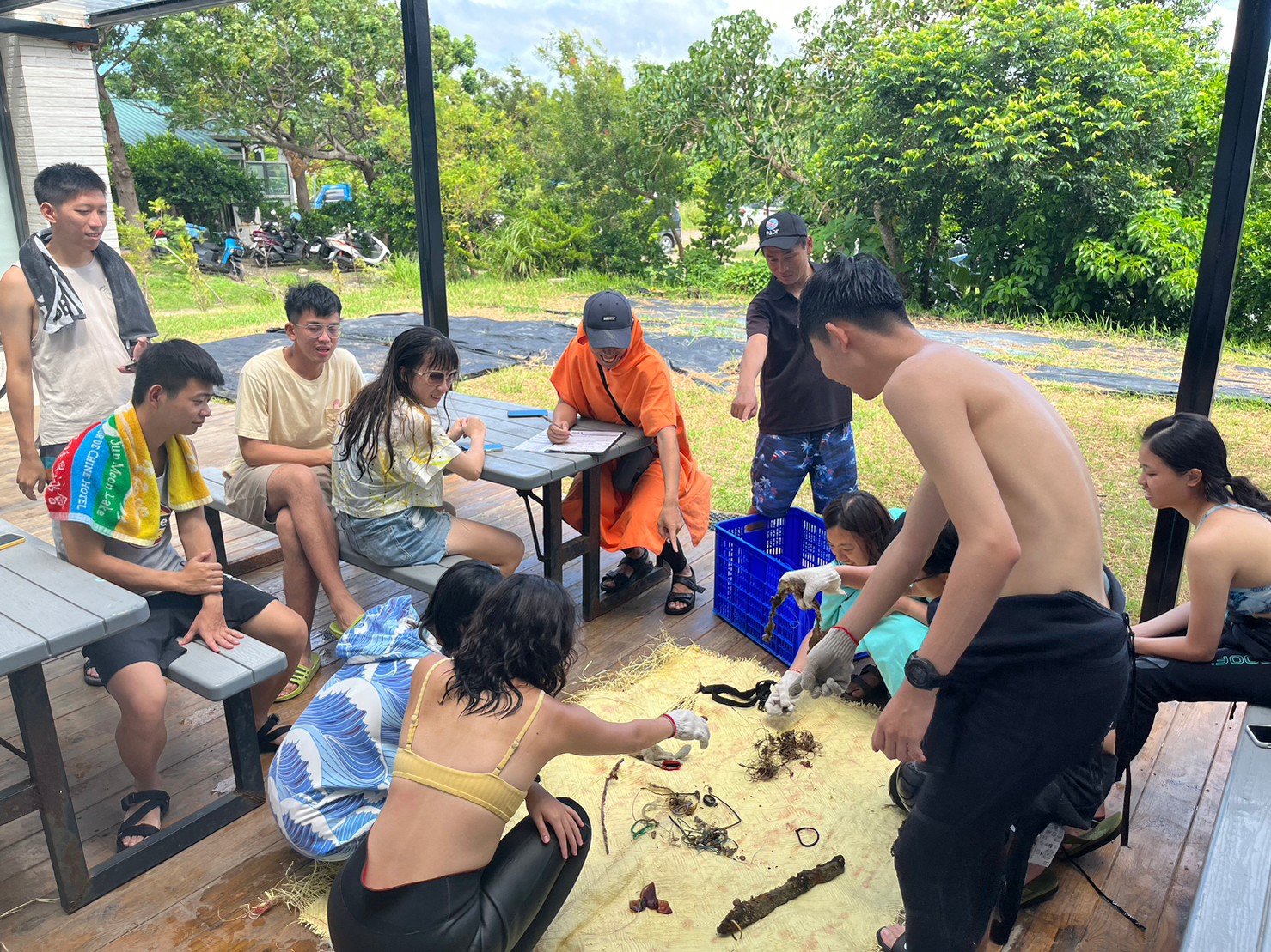
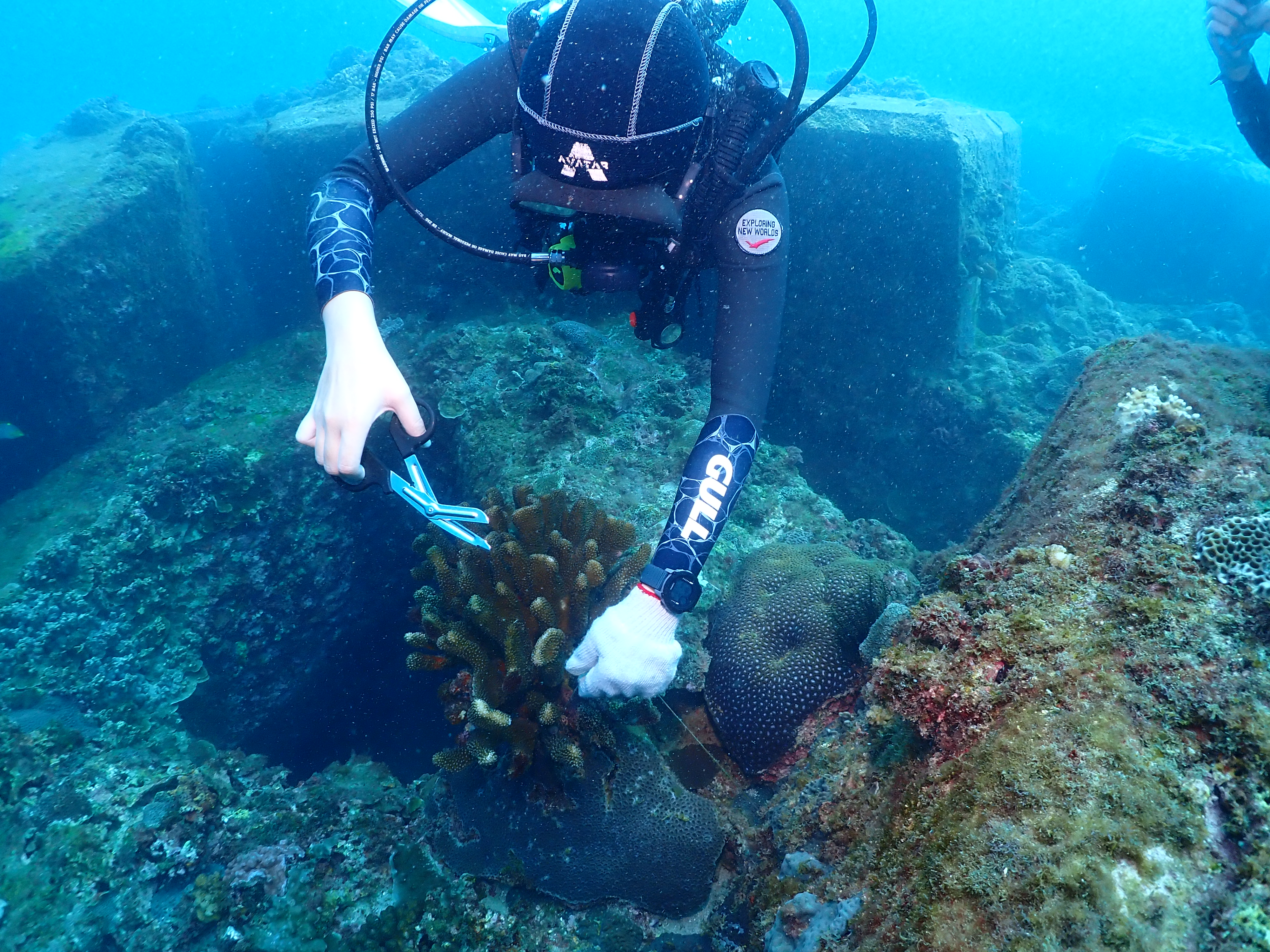
鋼筋:可能是建築廢棄物亂丟,或珊瑚的培育相關物件
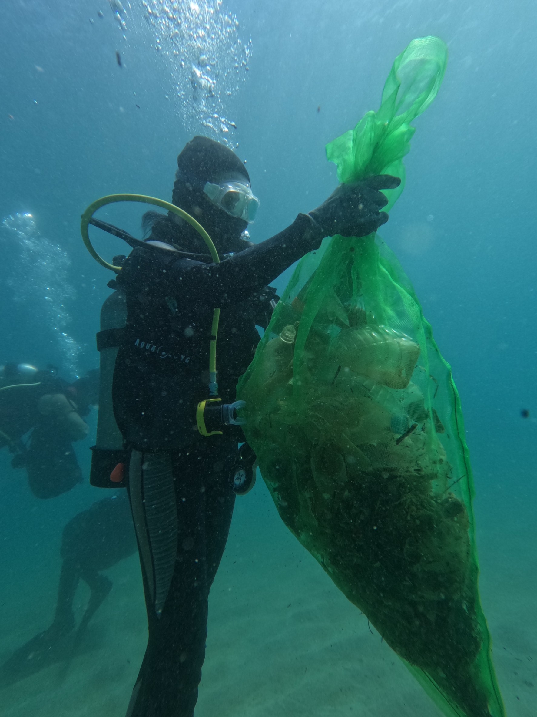
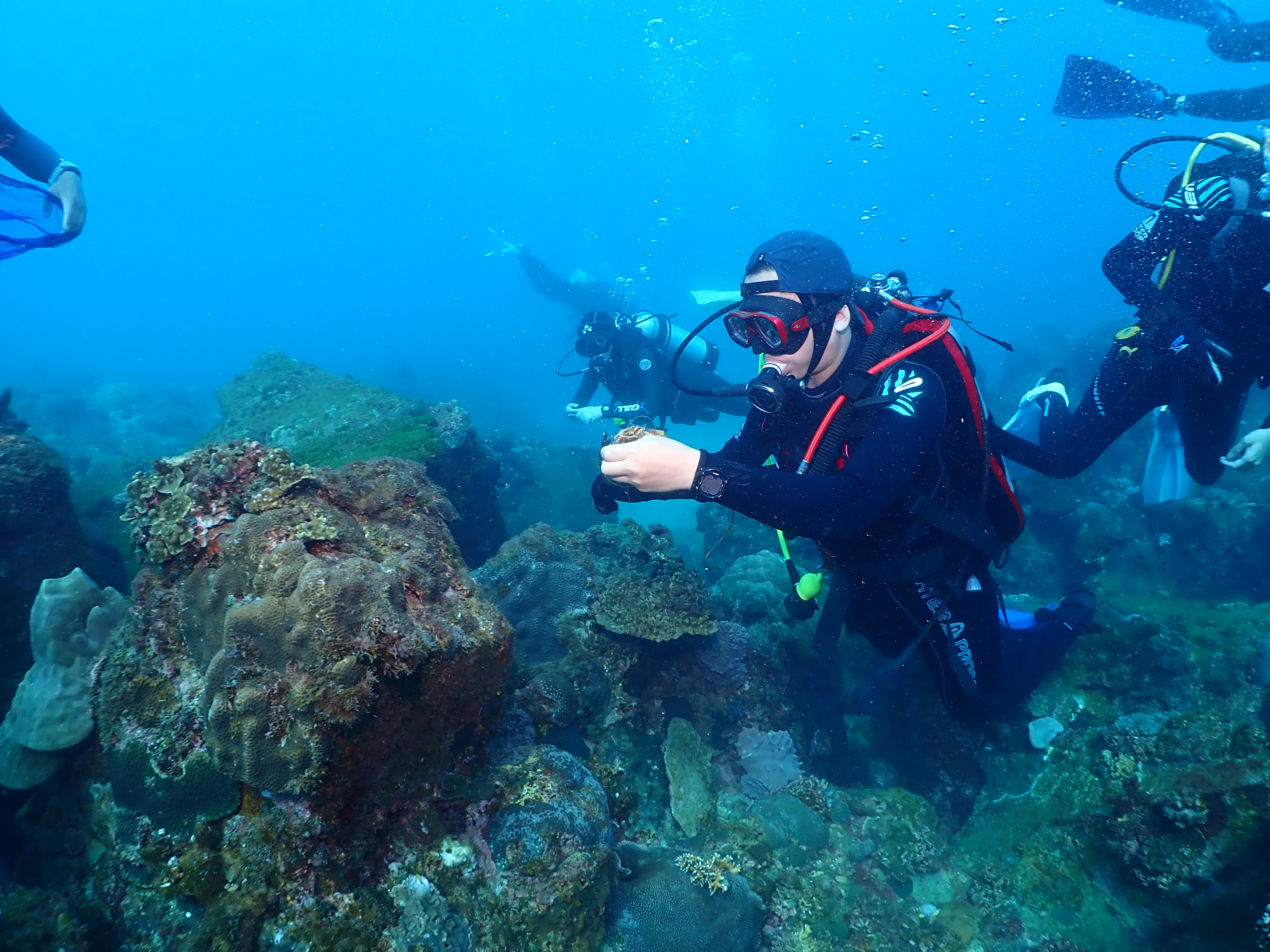
魚線為釣魚行為廢棄物
潛水扣為潛水客廢棄物
魚線為釣魚行為廢棄物
潛水扣為潛水客廢棄物
鋼筋、潛水扣
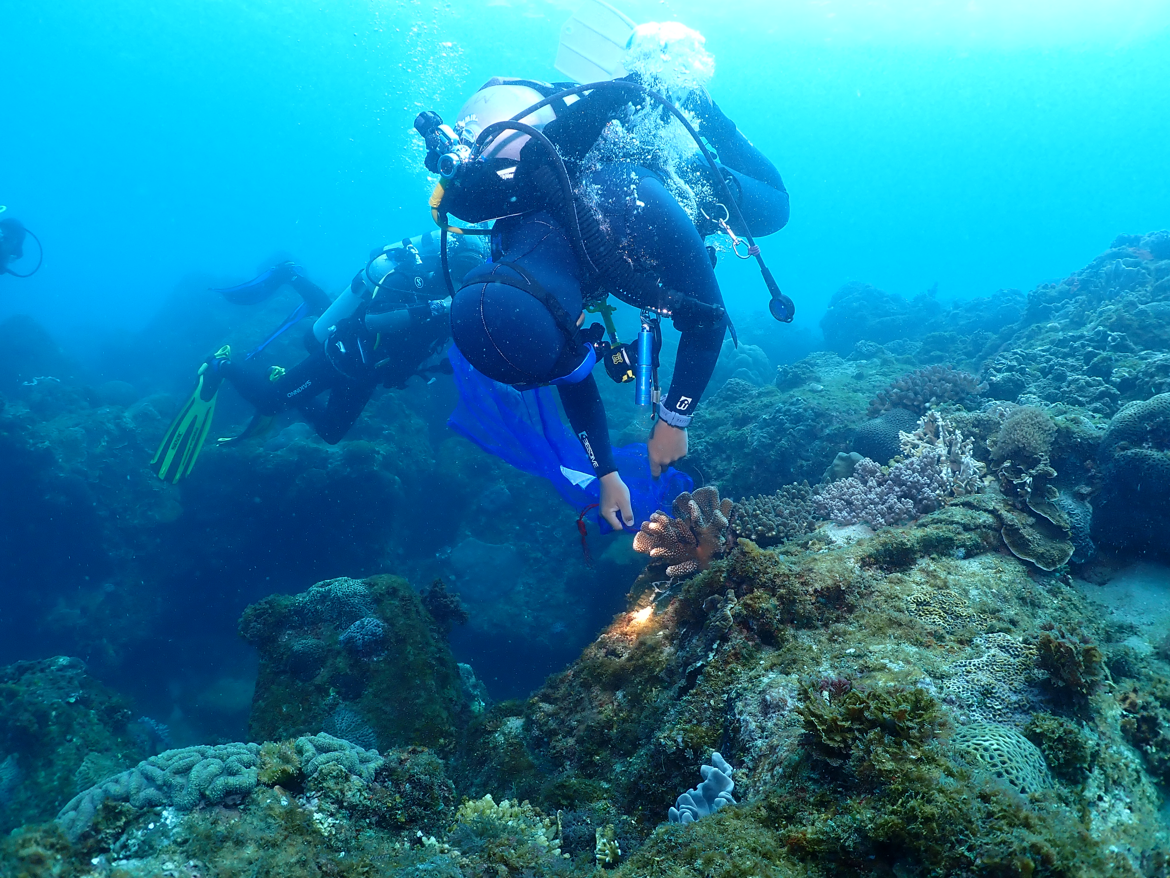
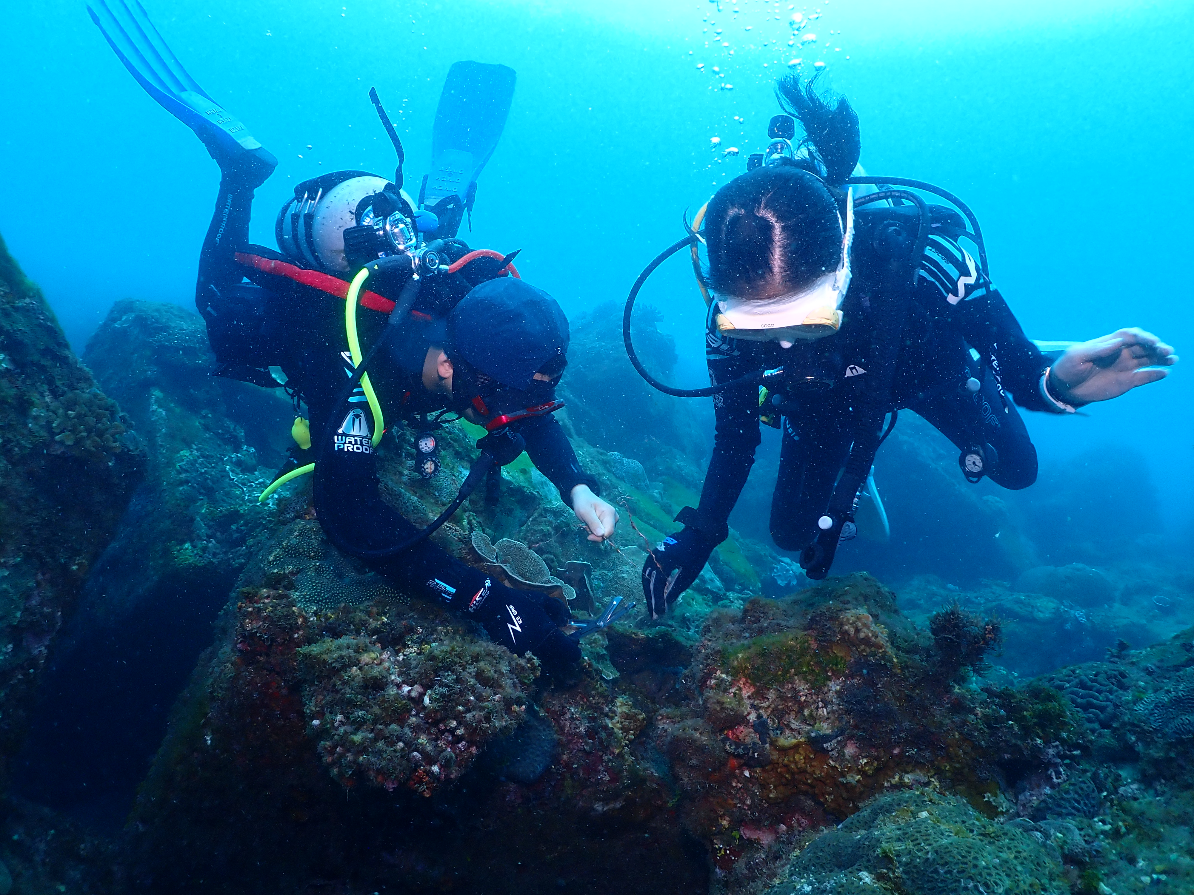
被钓鱼线缠住
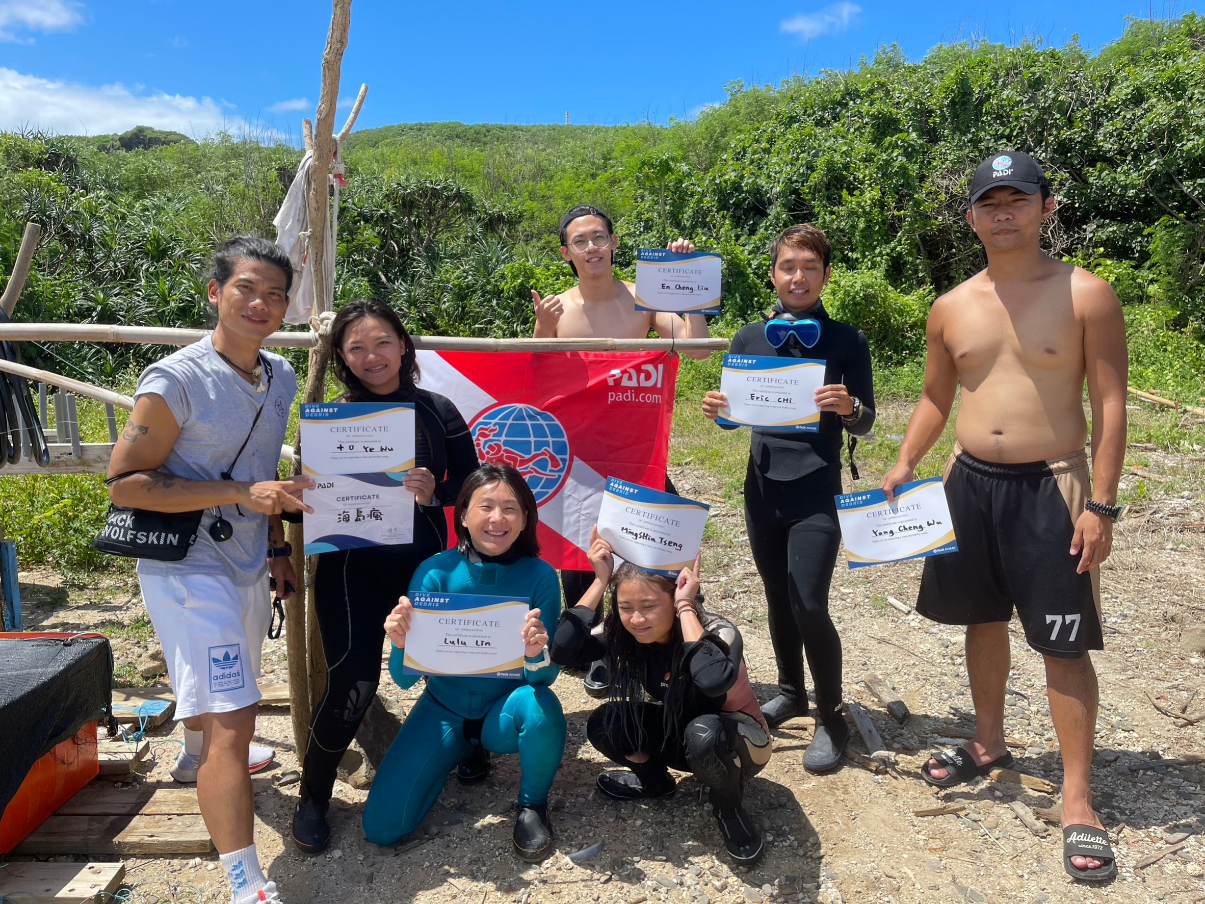
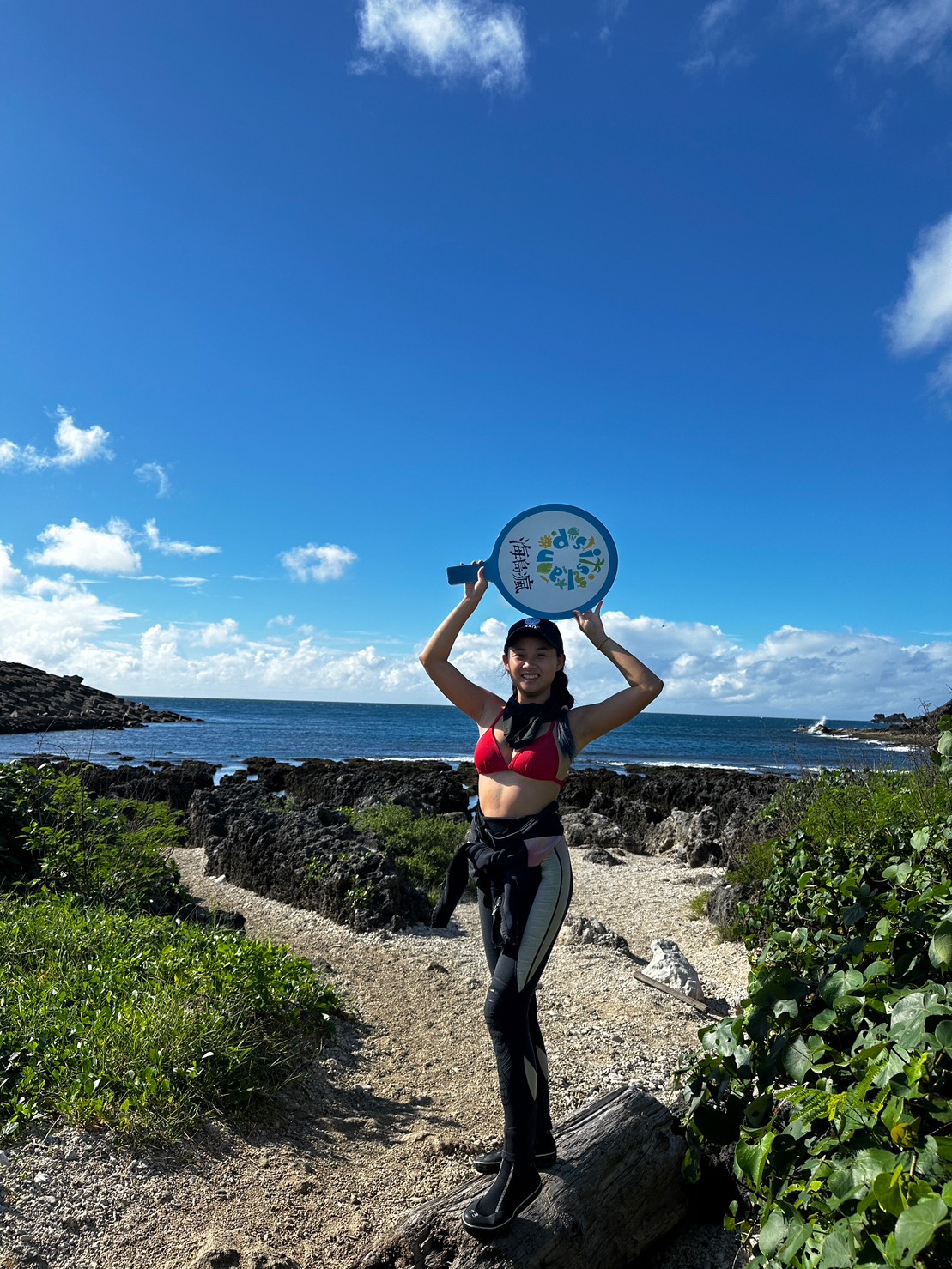
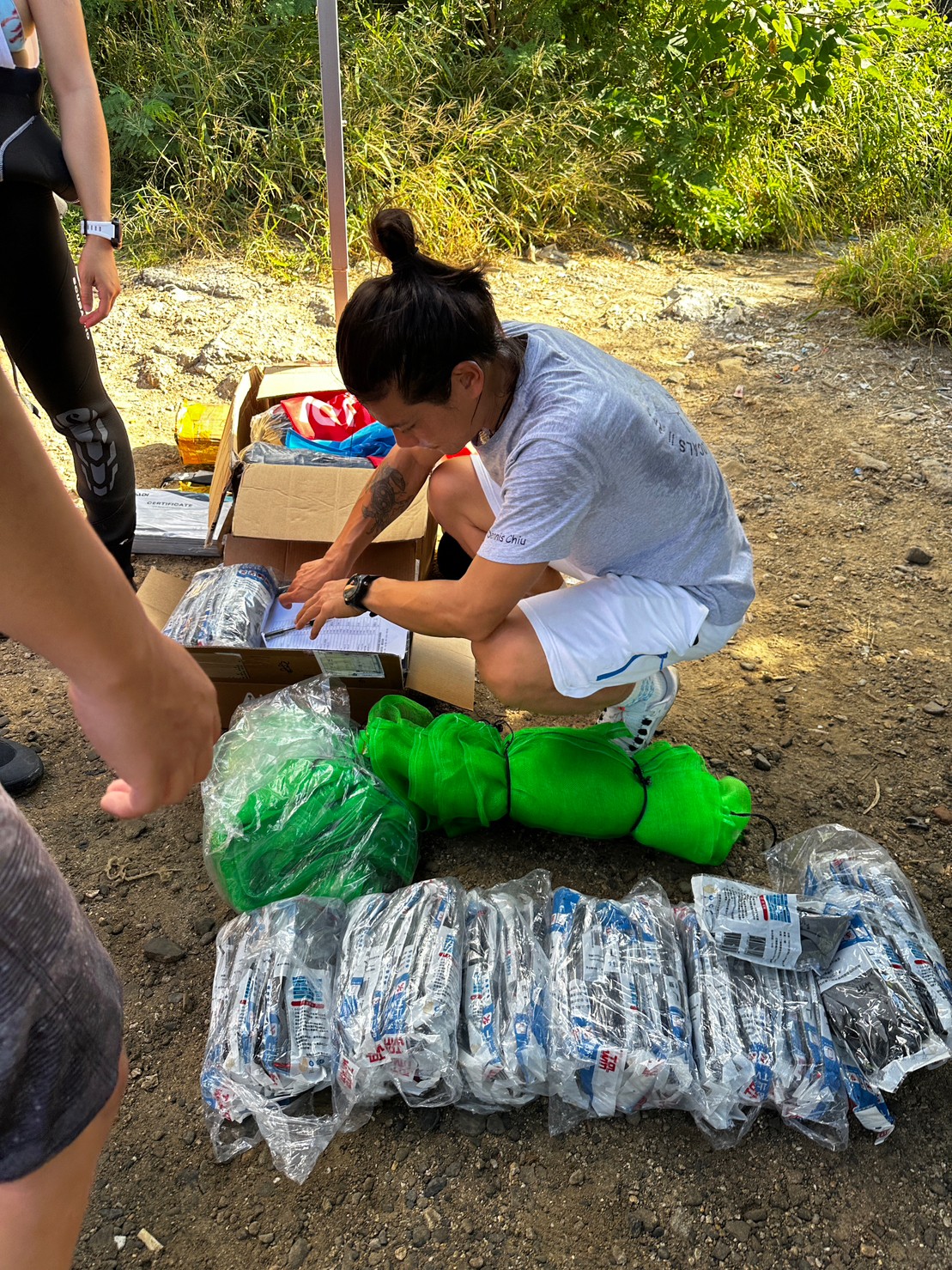
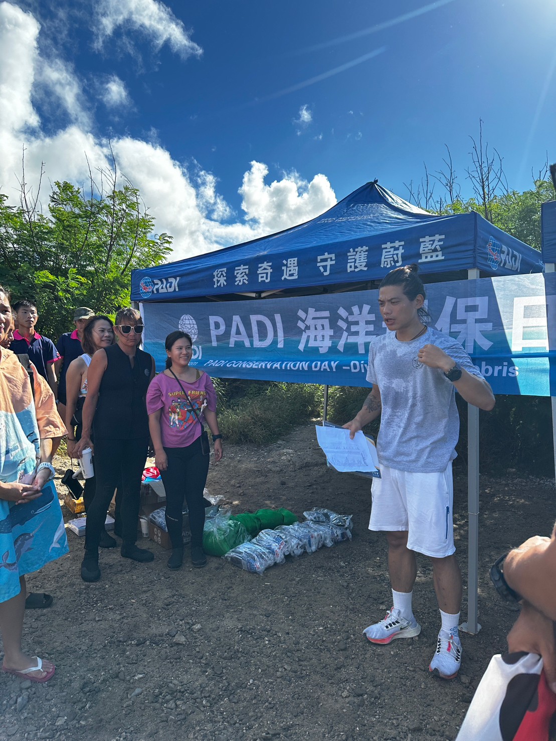
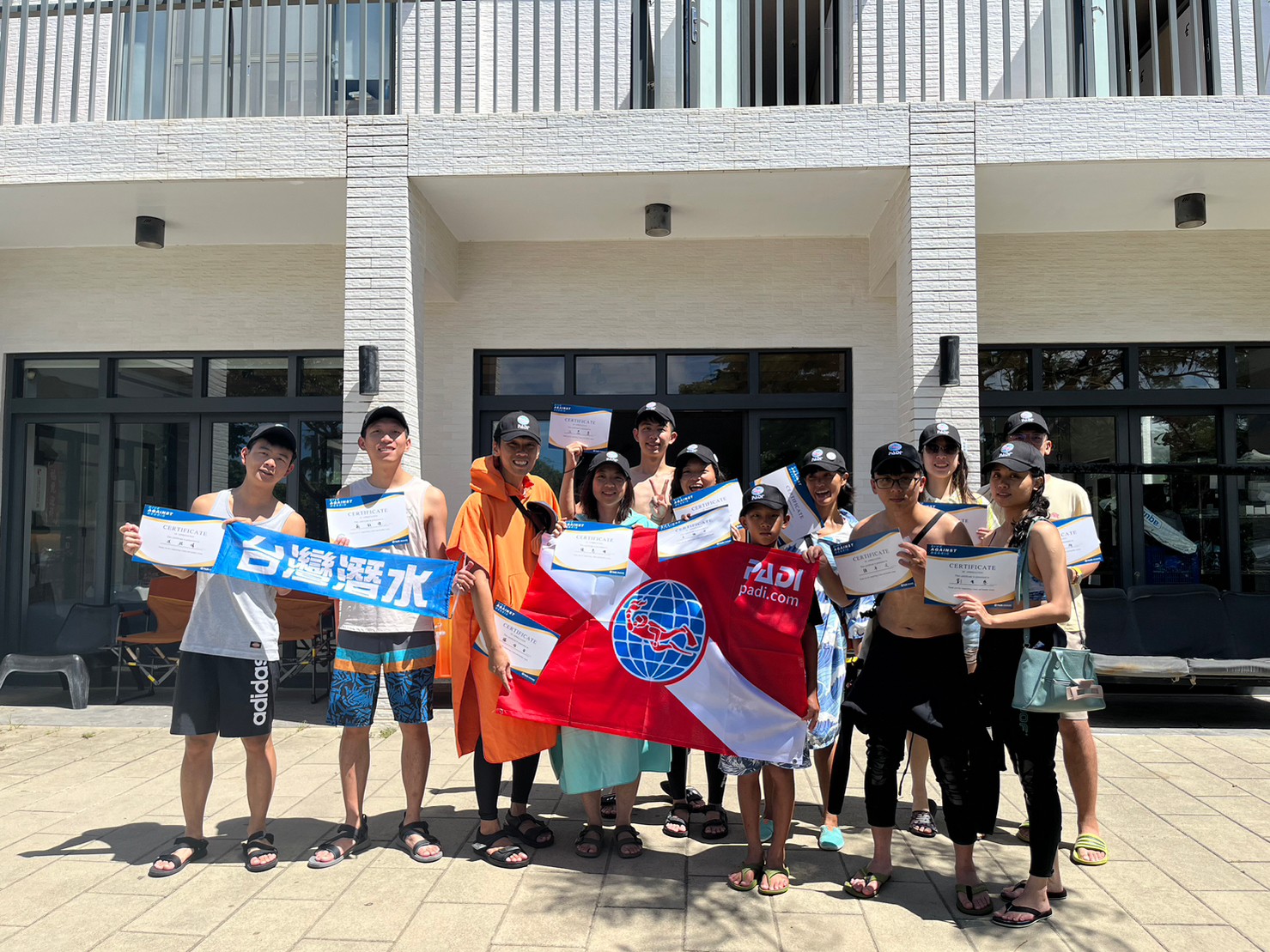
台灣潛水中心
陳琦恩
1
0
16
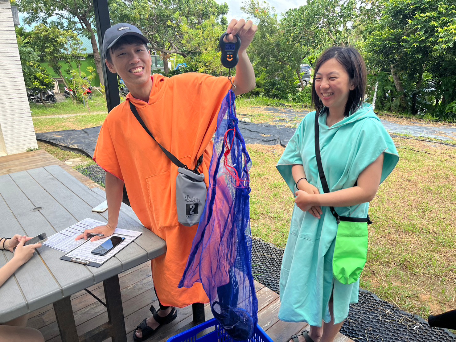
1.58
46
10.80
0.00
measured
1
99.00
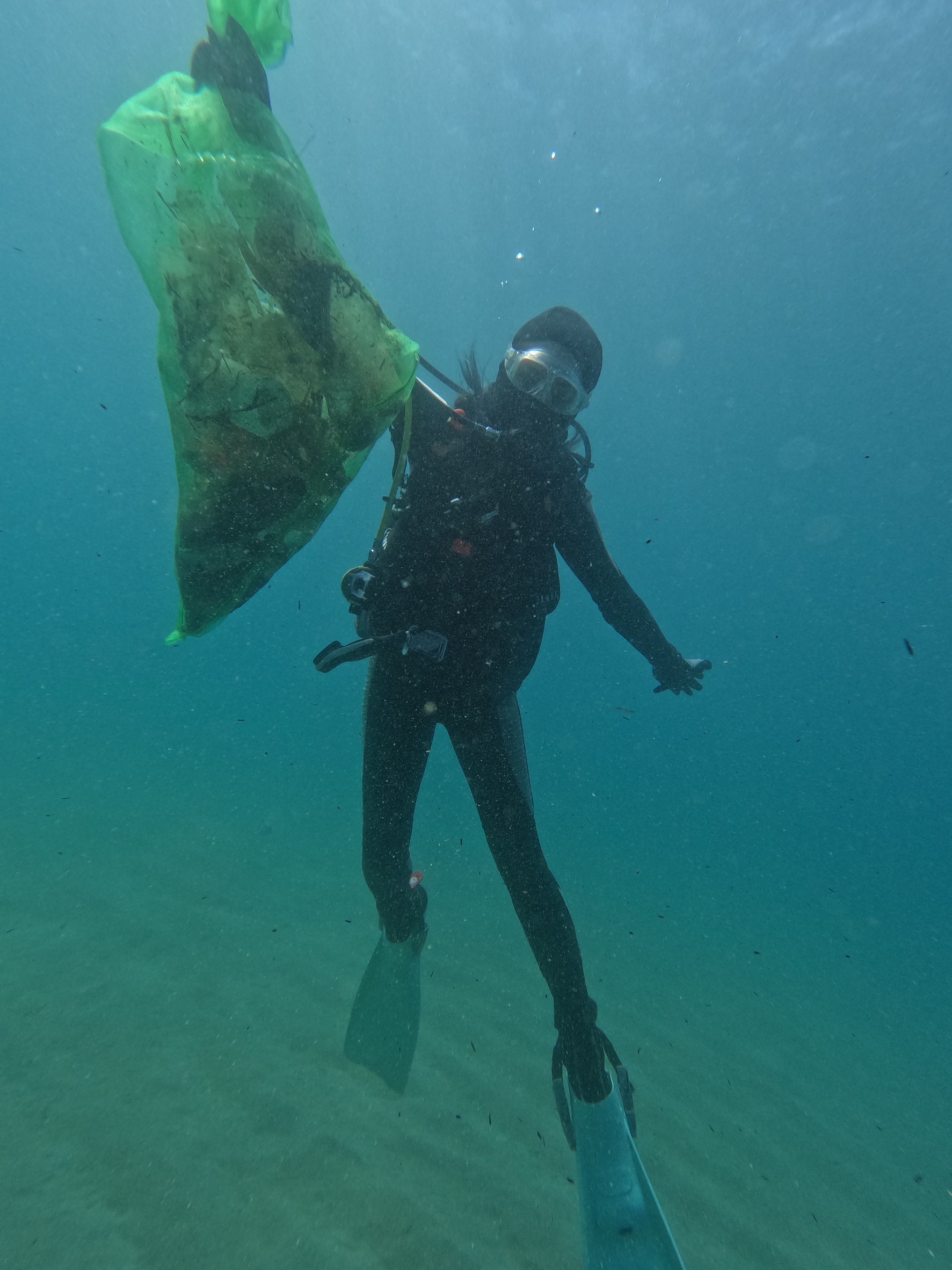
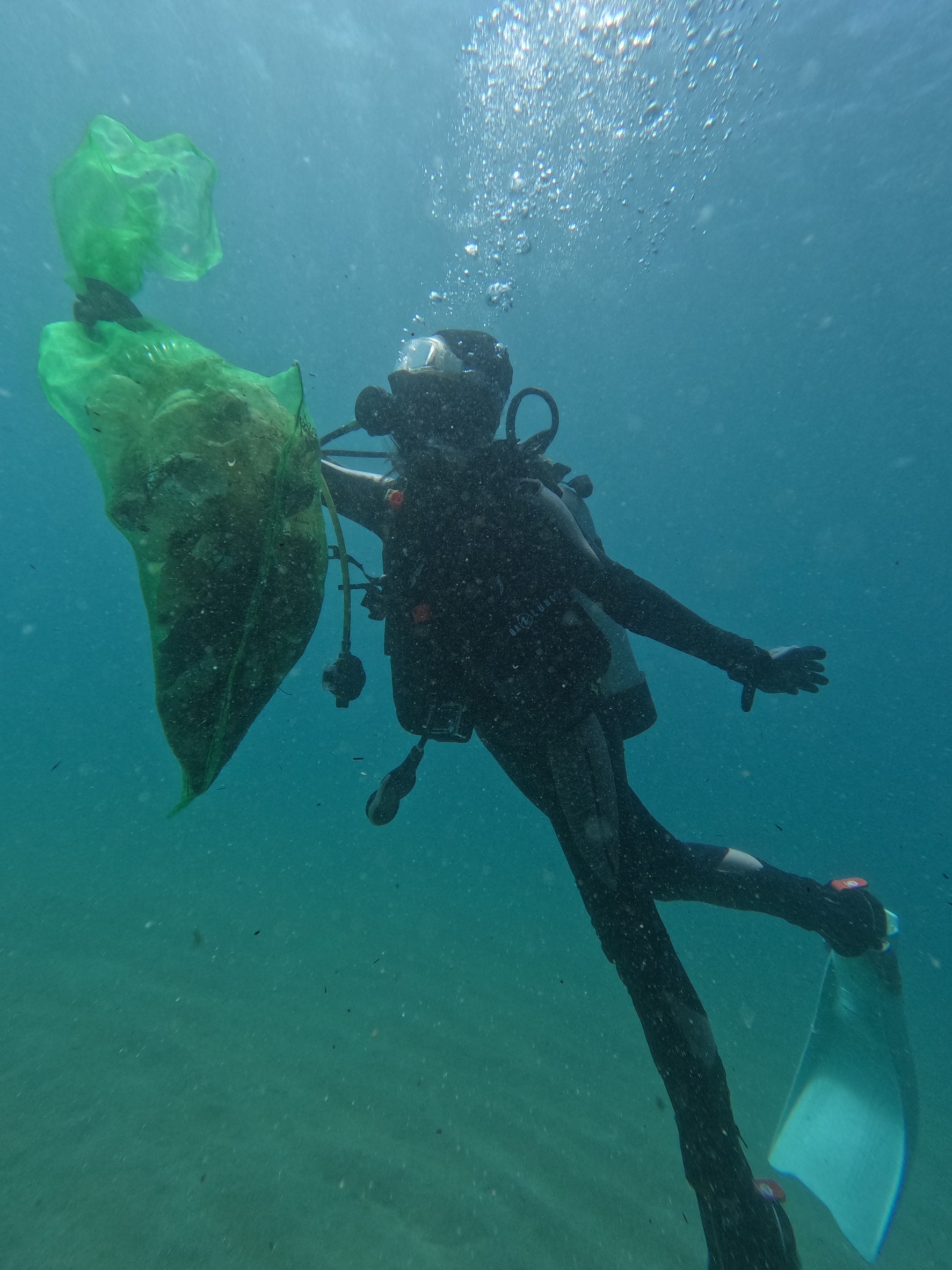
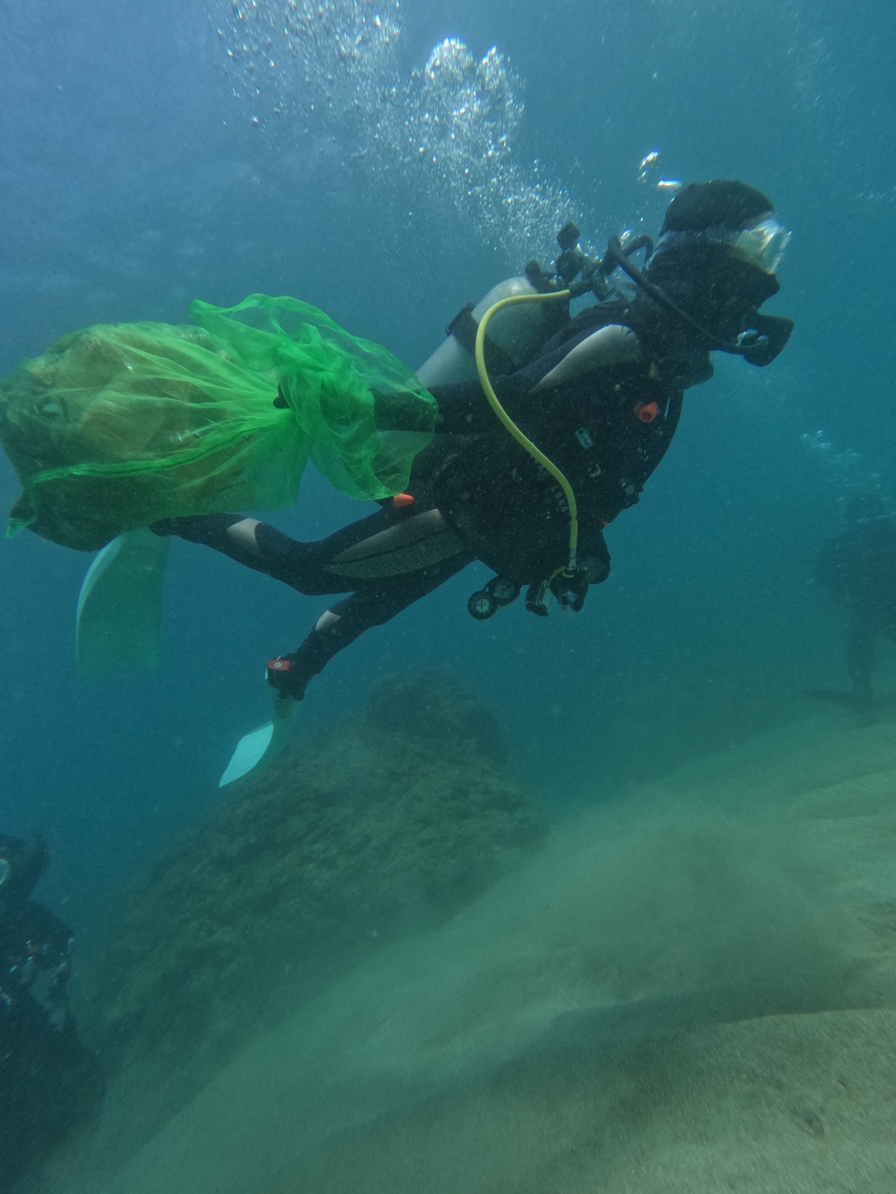
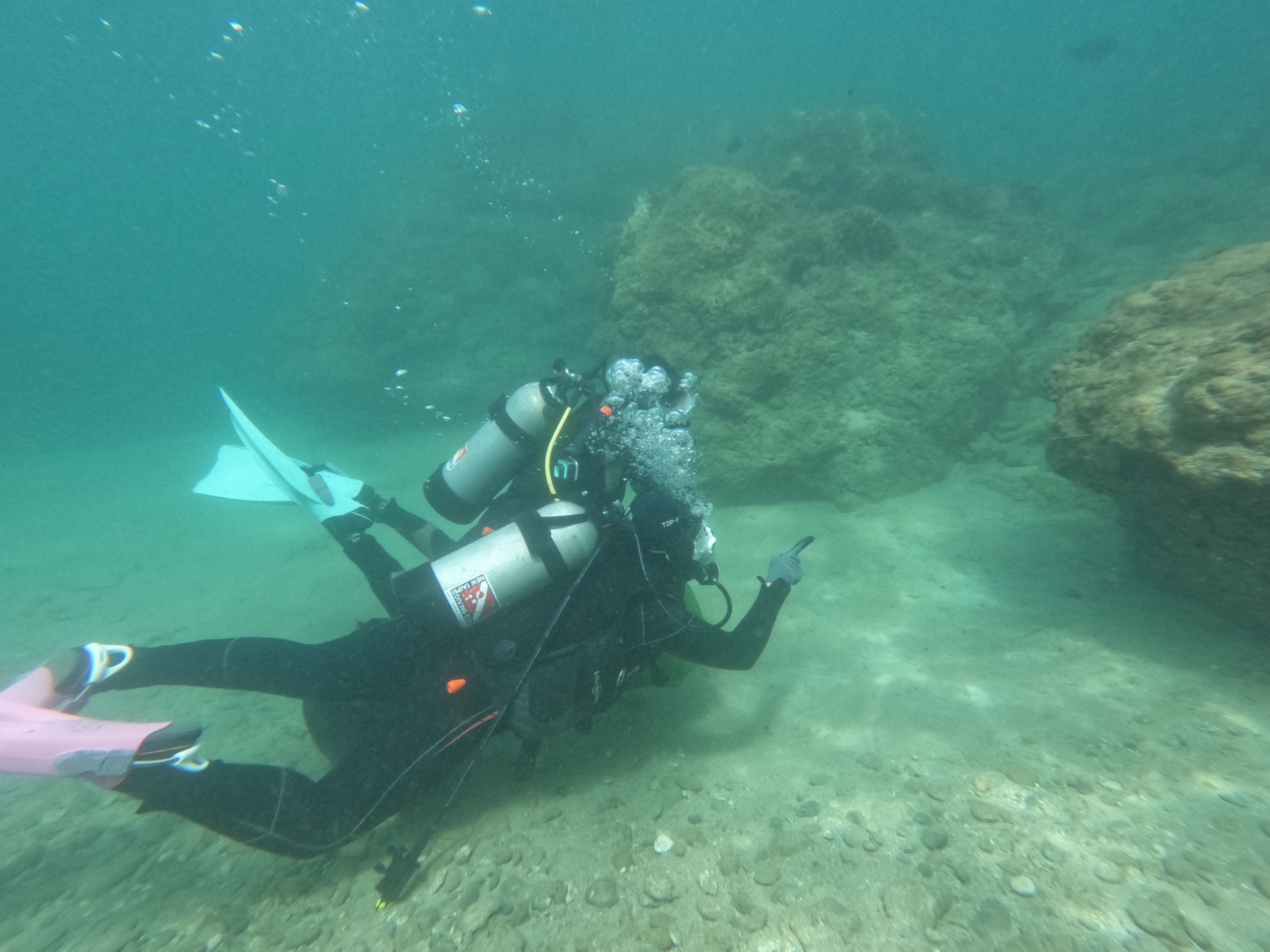
釣魚線
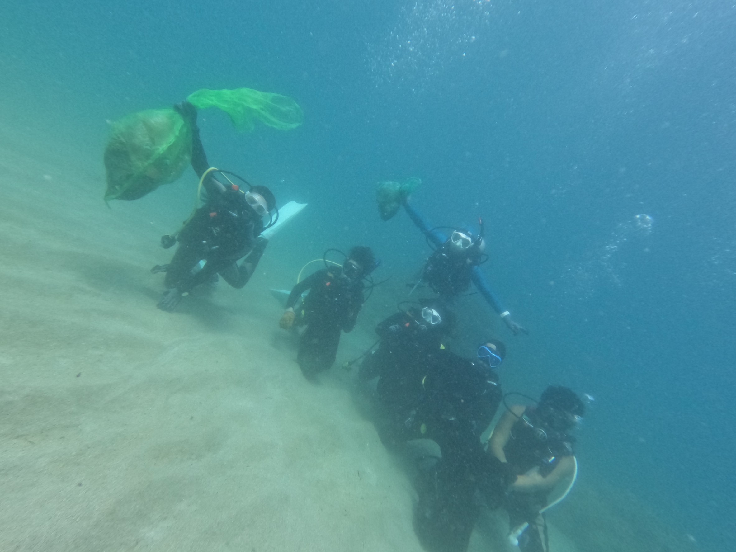
玻璃碎片
碎布
On
kilograms
I have debris data to report
Calm (glassy to rippled) for waves 0 – 0.1 meter high
1
1
m2

36
钓鱼线
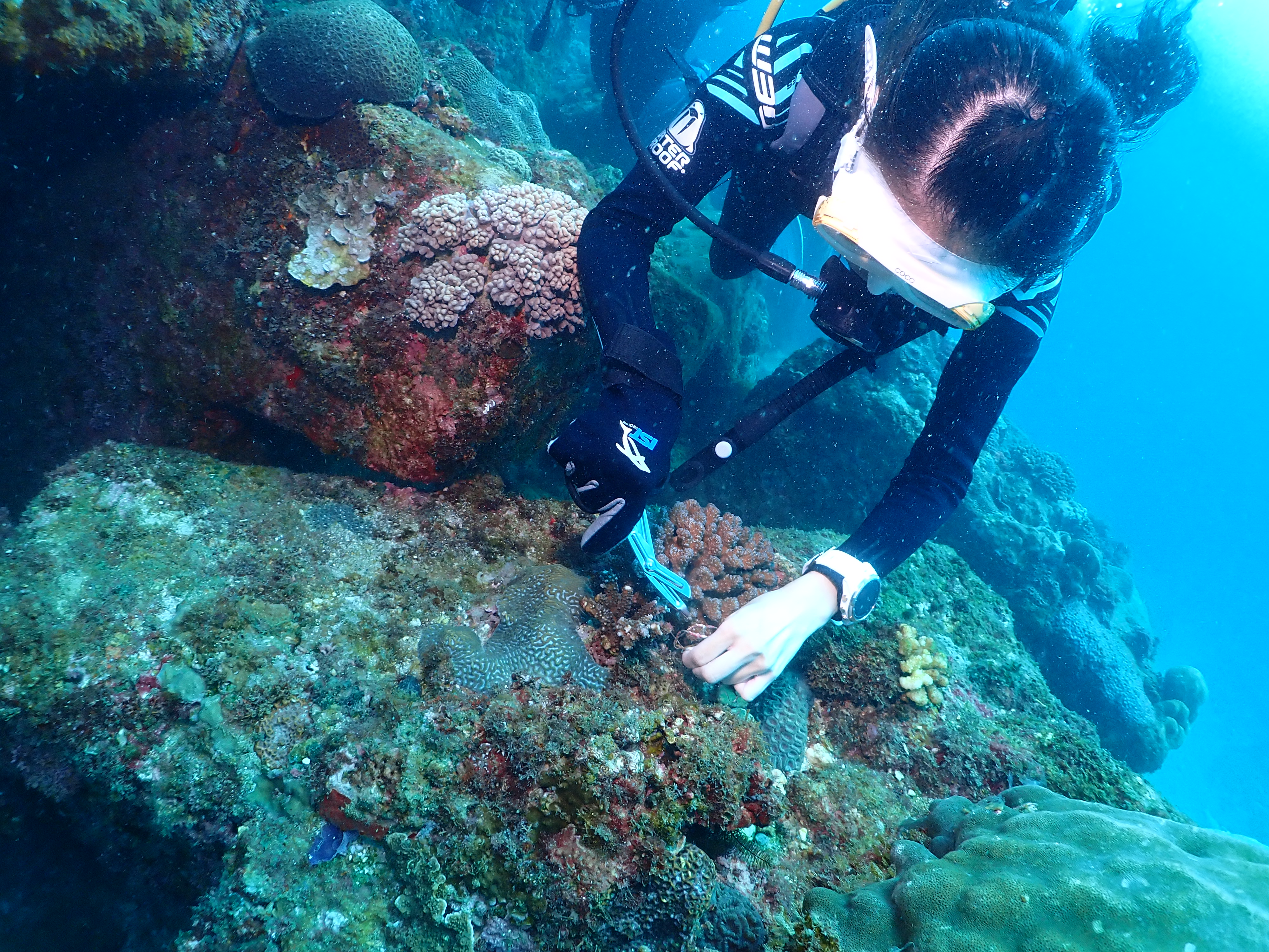
珊瑚
Injured
meters
coral reef
1
1
6
City
屏東縣
Map Help
Dive Location
If you know your survey site coordinates, enter them manually in decimal degrees using WGS84 Map Datum. Use the minus sign for latitudes south of the equator and longitudes west of the Prime Meridian to 180 degrees.
If you do not know your survey site coordinates, click the “Map Location” tab to use the map to zoom into your survey site and drop the pin on the map to fall within your survey dive site in the water (not on land or the beach). Ensure you zoom in as much as possible to ensure data accuracy.
Entangled Help
Use the vertical tabs below to record any entangled animals you found of each type.
Dominant Substrate Other
人造消波塊