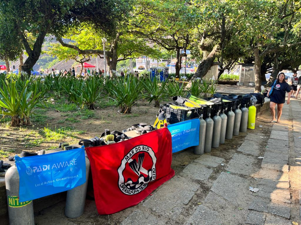
RJ Ledge 1
25.72252, -80.09901
3
7
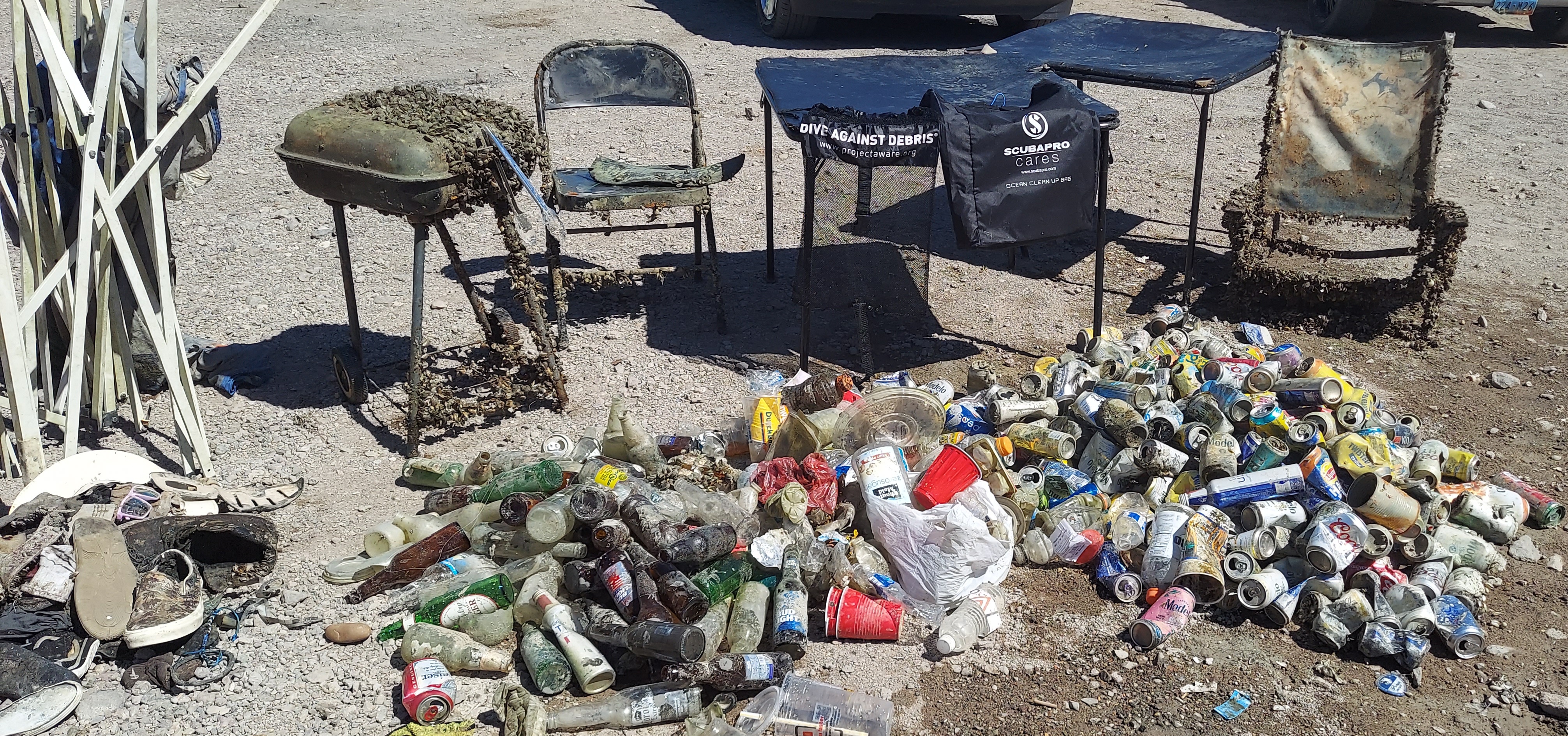
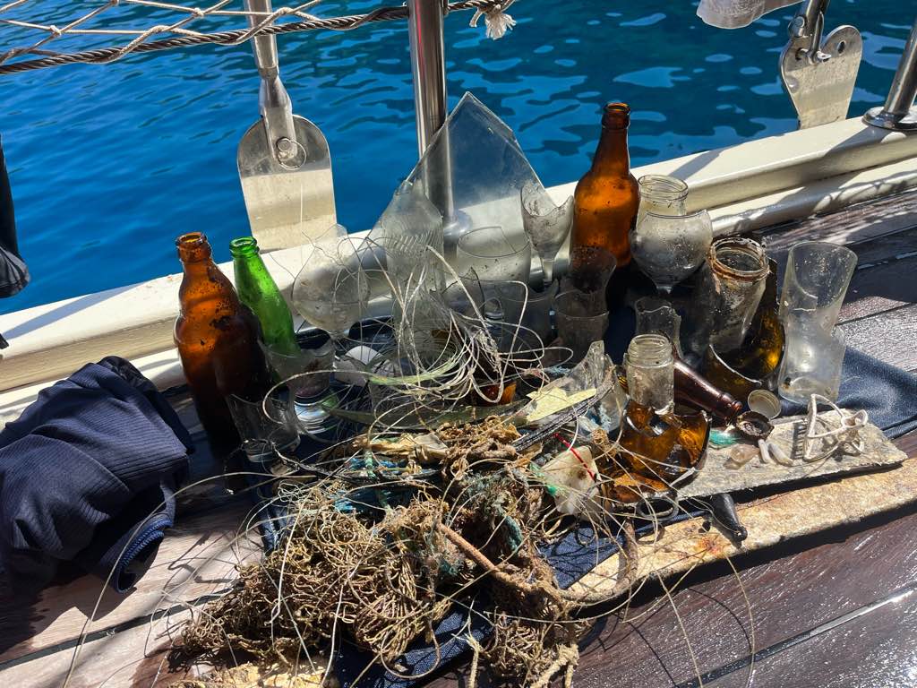
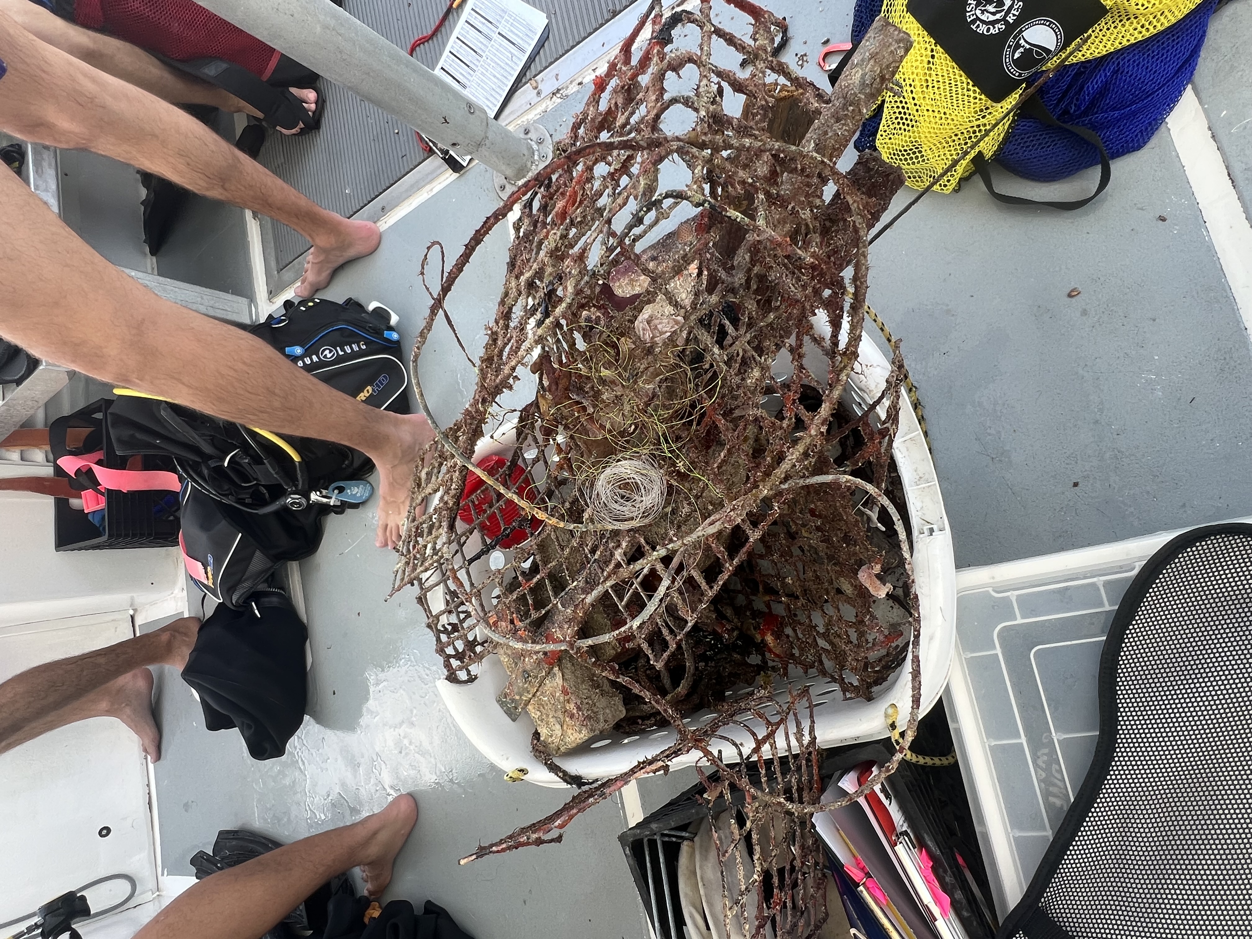
plastic bags and a red solo cup found on the reef-- our actions matter!
calm, clear skies and waters with scattered showers and thunderstorms in the late afternoon/evening
Diver's Paradise Key Biscayne
Bonnie Waxman
1
24
83.00
45
8.00
22.00
measured
100.00
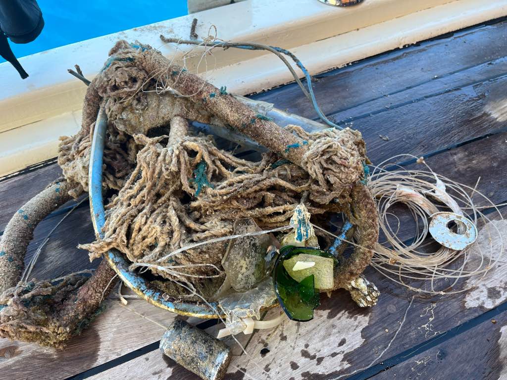
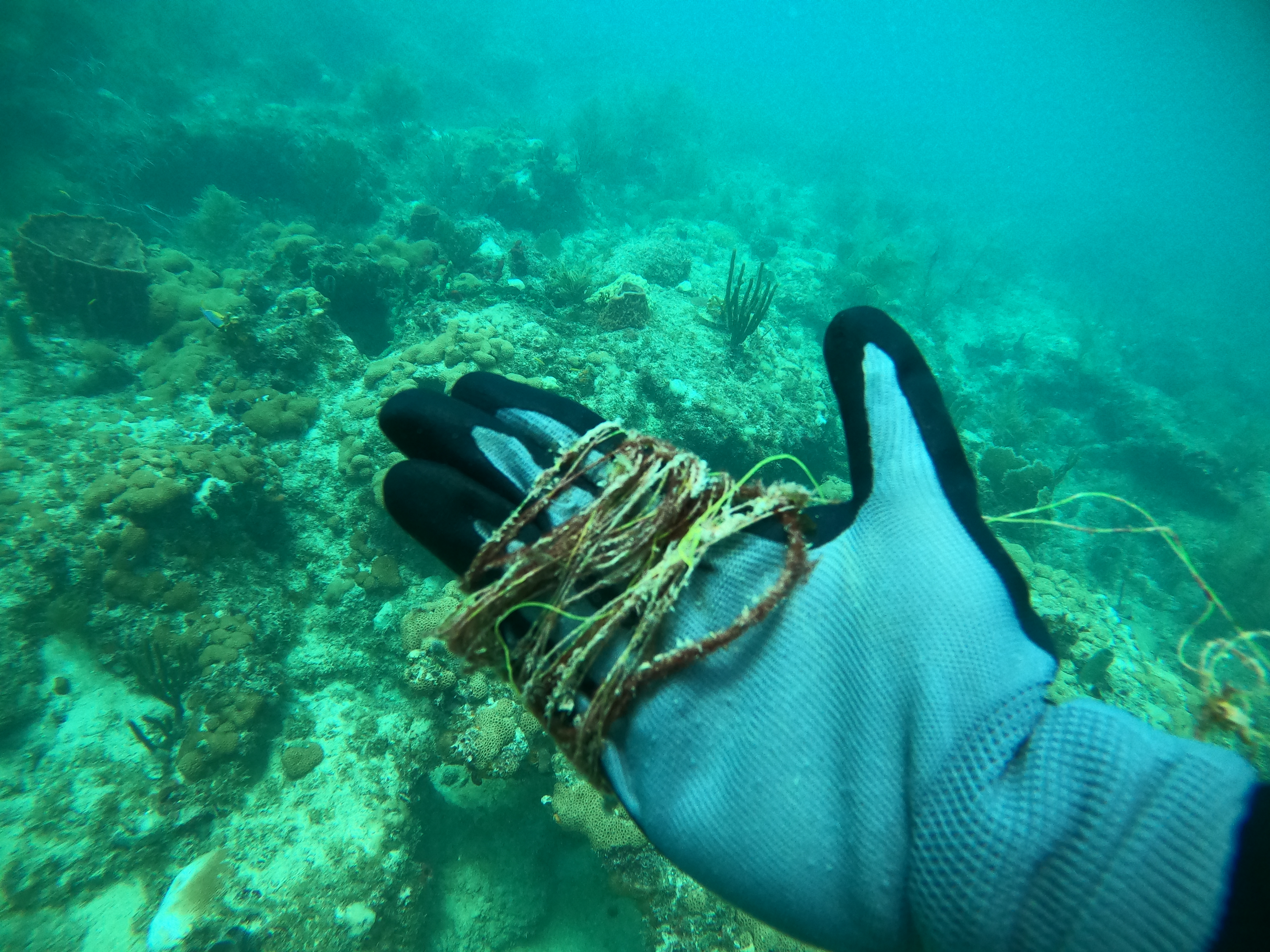
rope and fishing line
plastic bags :(
On
pounds
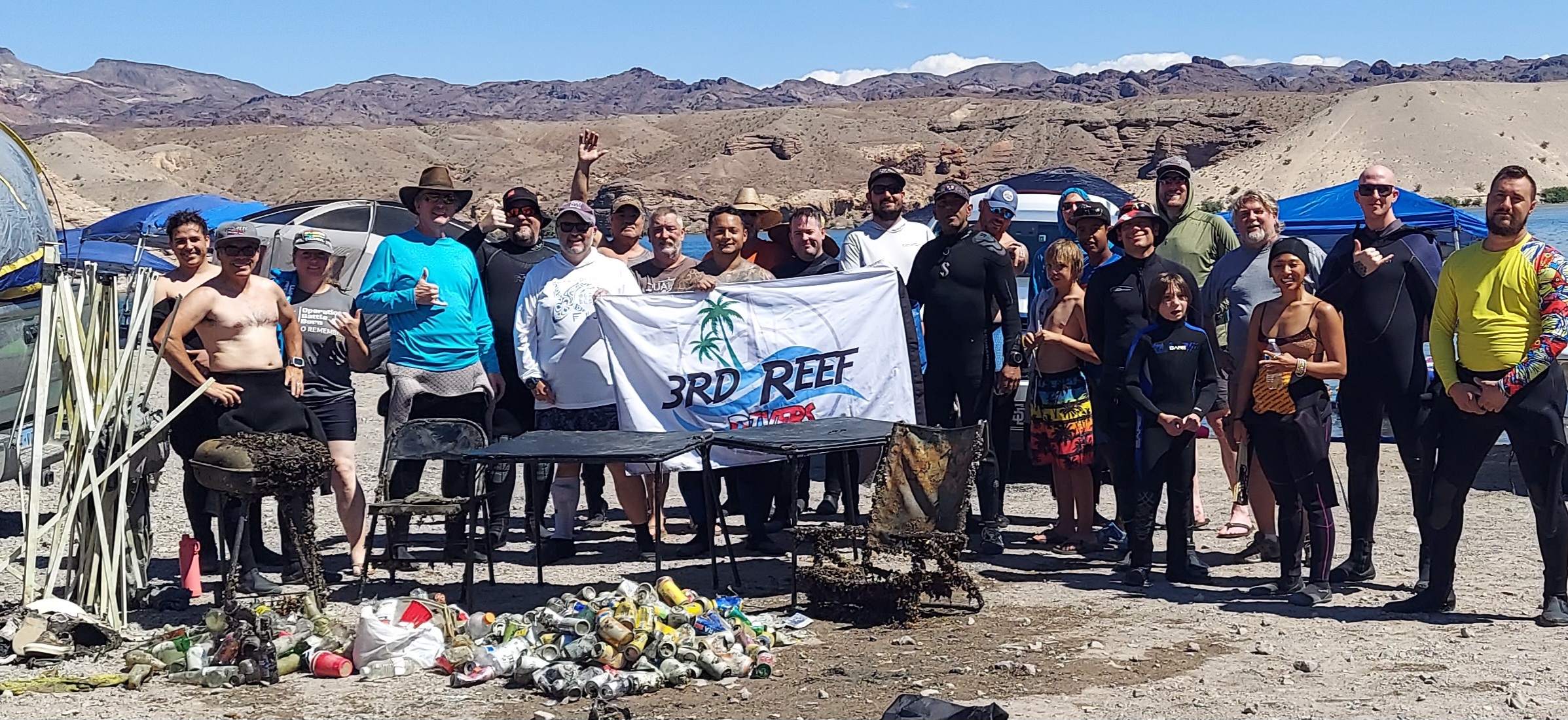
I have debris data to report
2
Smooth (wavelets) for waves 0.1 - 0.5 meter high
ft2
feet
coral reef
10
6
1
State\Province
Florida
City
Miami
Map Help
Dive Location
If you know your survey site coordinates, enter them manually in decimal degrees using WGS84 Map Datum. Use the minus sign for latitudes south of the equator and longitudes west of the Prime Meridian to 180 degrees.
If you do not know your survey site coordinates, click the “Map Location” tab to use the map to zoom into your survey site and drop the pin on the map to fall within your survey dive site in the water (not on land or the beach). Ensure you zoom in as much as possible to ensure data accuracy.
Entangled Help