Mononaftis
15
1
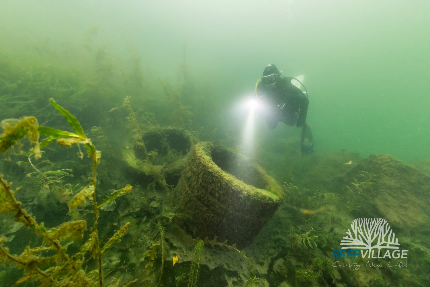
rock
3
1
35.416467957156, 25.018763244152
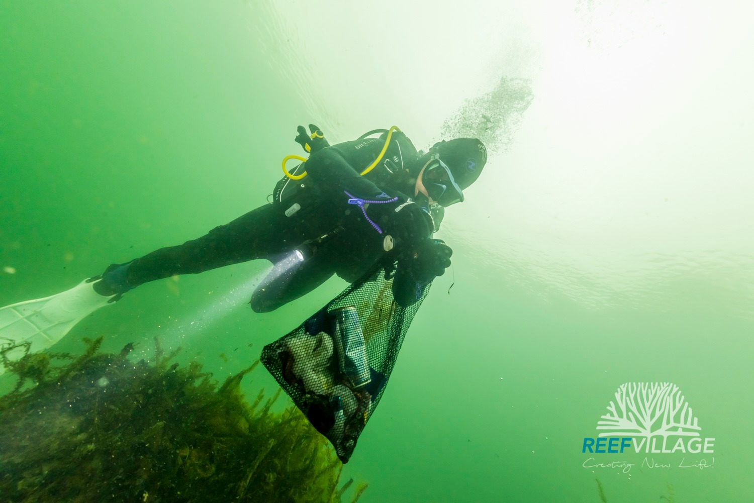
No
Calm
Stay Wet Diving Center
Yoan Gavira
9
1
4
3
2.00
30
-5.00
-2.00
estimated
500.00
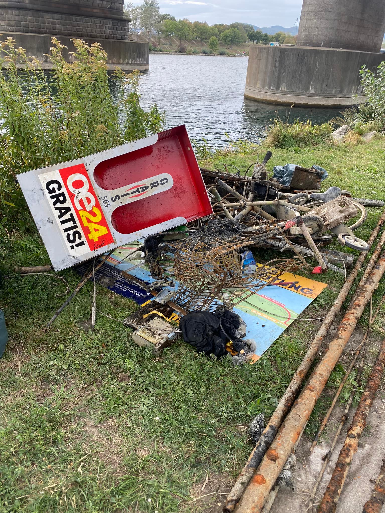
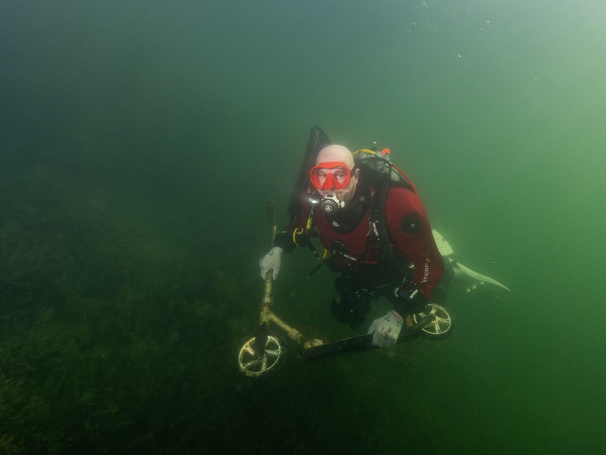
plastic bags
platic fragments
0
On
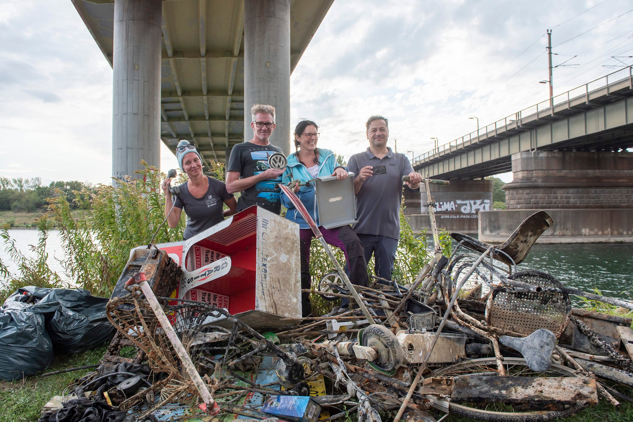
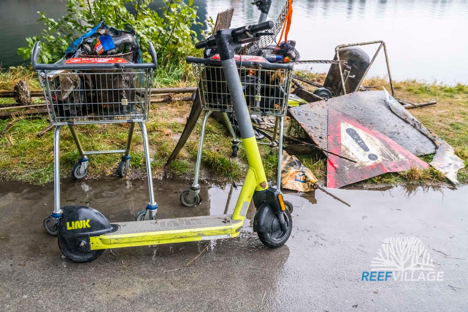
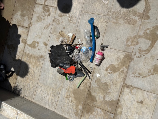
kilograms
I have debris data to report
Calm (glassy to rippled) for waves 0 – 0.1 meter high
m2
1
meters
rocky reef
3
1
4
State\Province
Crete
City
Agia Pelagia
Map Help
Dive Location
If you know your survey site coordinates, enter them manually in decimal degrees using WGS84 Map Datum. Use the minus sign for latitudes south of the equator and longitudes west of the Prime Meridian to 180 degrees.
If you do not know your survey site coordinates, click the “Map Location” tab to use the map to zoom into your survey site and drop the pin on the map to fall within your survey dive site in the water (not on land or the beach). Ensure you zoom in as much as possible to ensure data accuracy.
Entangled Help