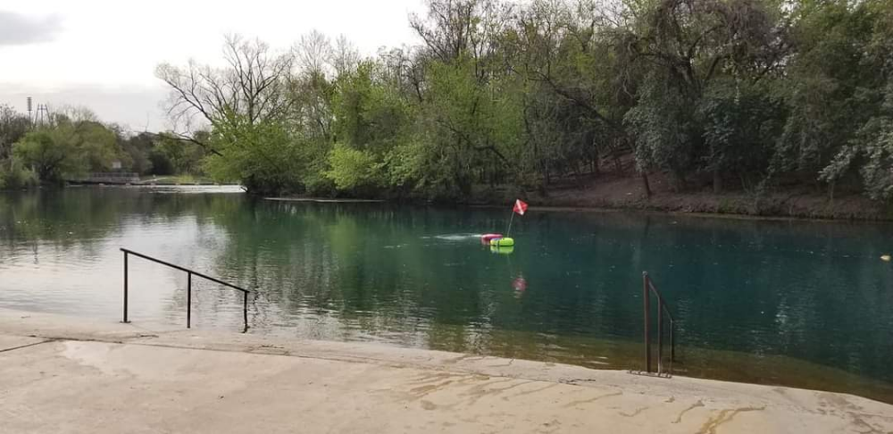
Willow Beach
2
sand
35.873338411828, -114.66294404514
no
golf balls
sunny temp 100
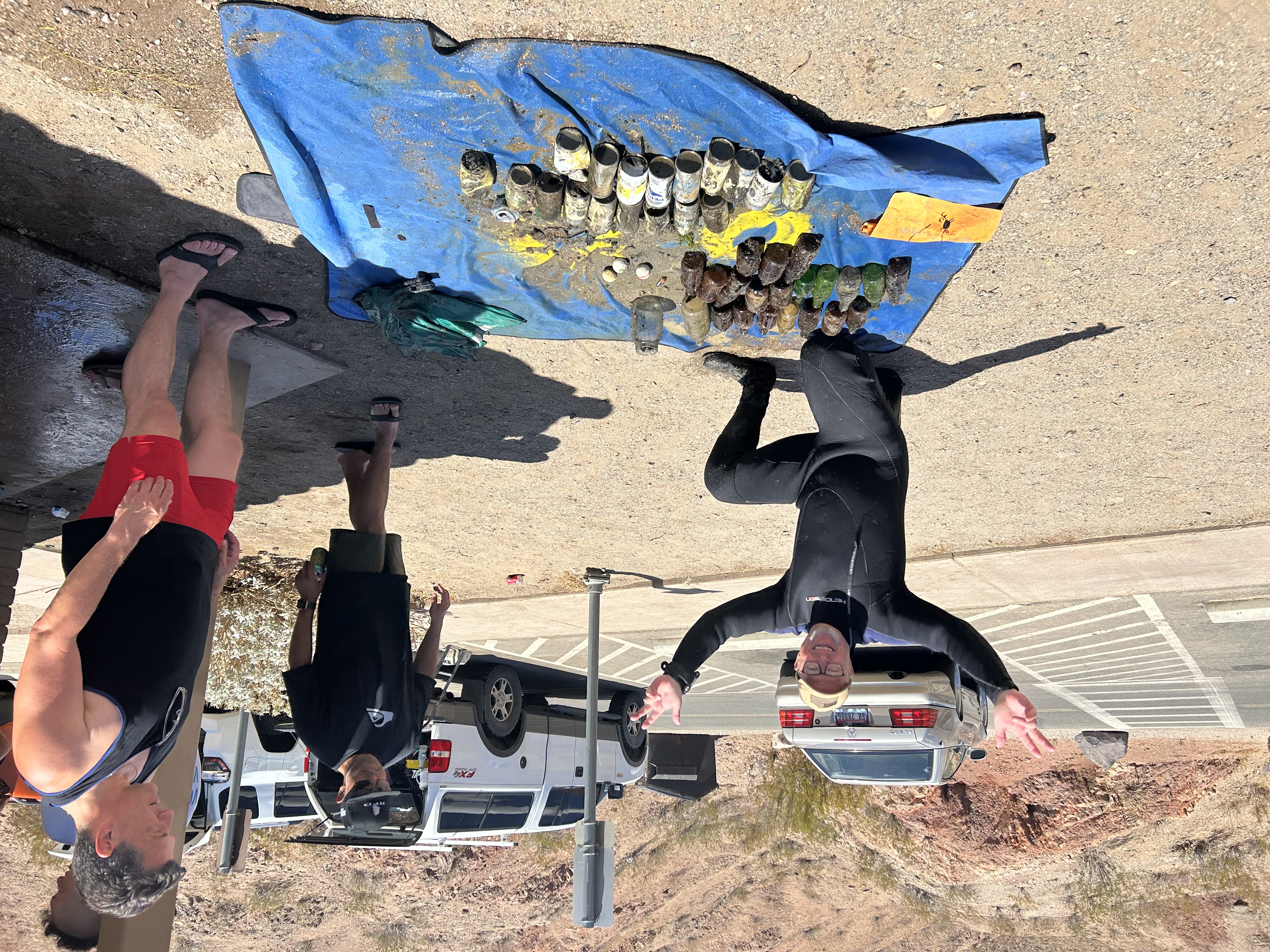
Mana Scuba
Ken Wige
1
45.00
45
30.00
15.00
estimated
600.00
3
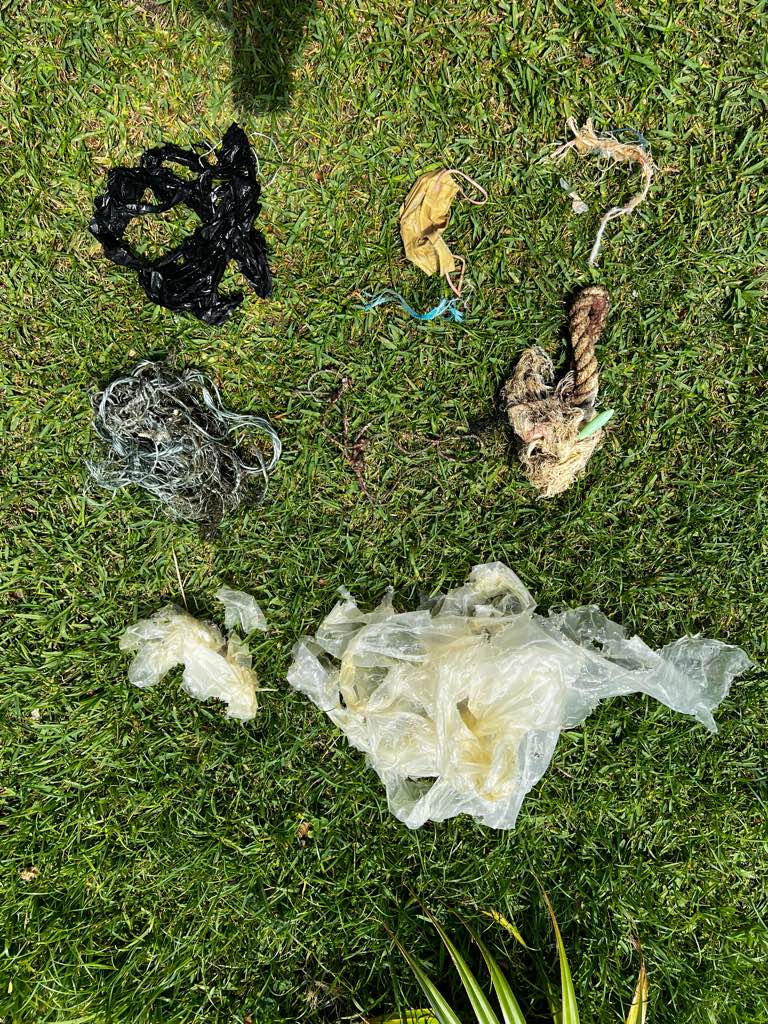
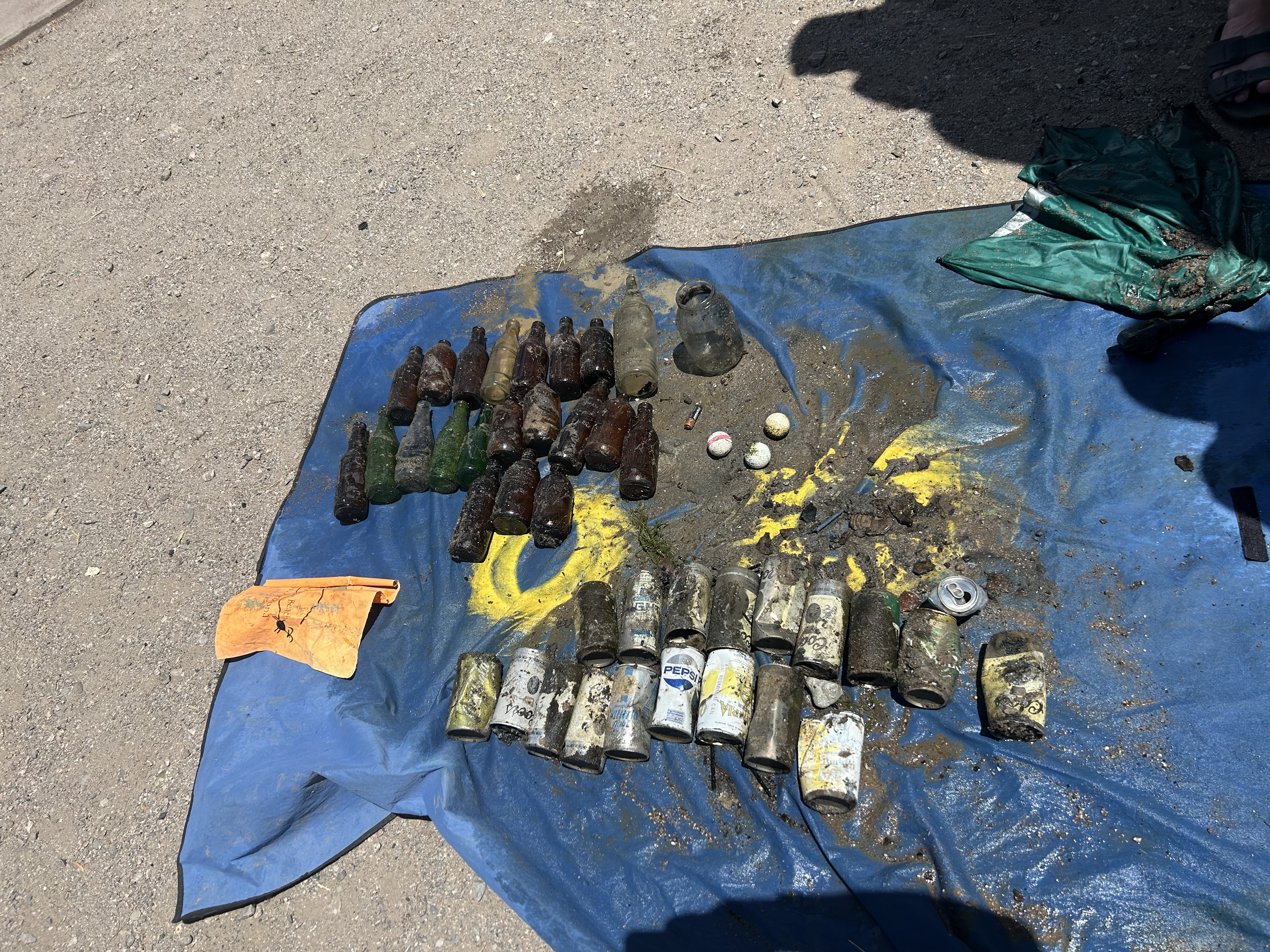
bottles and cands
On
pounds
I have debris data to report
22
Smooth (wavelets) for waves 0.1 - 0.5 meter high
ft2
feet
other
19
1
1
State\Province
NV
City
Las vegas
Map Help
Dive Location
If you know your survey site coordinates, enter them manually in decimal degrees using WGS84 Map Datum. Use the minus sign for latitudes south of the equator and longitudes west of the Prime Meridian to 180 degrees.
If you do not know your survey site coordinates, click the “Map Location” tab to use the map to zoom into your survey site and drop the pin on the map to fall within your survey dive site in the water (not on land or the beach). Ensure you zoom in as much as possible to ensure data accuracy.
Entangled Help
Use the vertical tabs below to record any entangled animals you found of each type.
Ecosystem Other
sand