
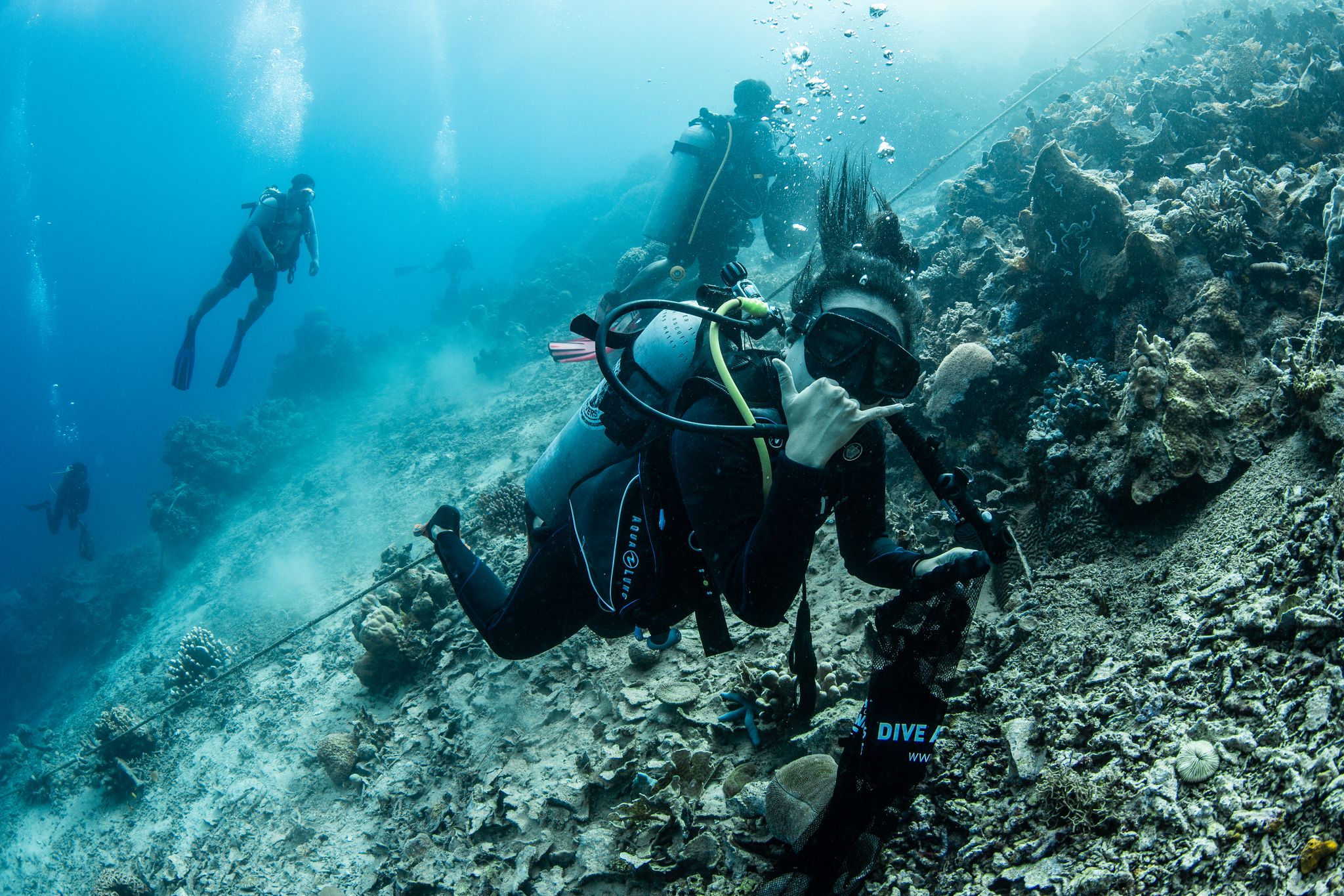
Alban Jetty
3
5
1
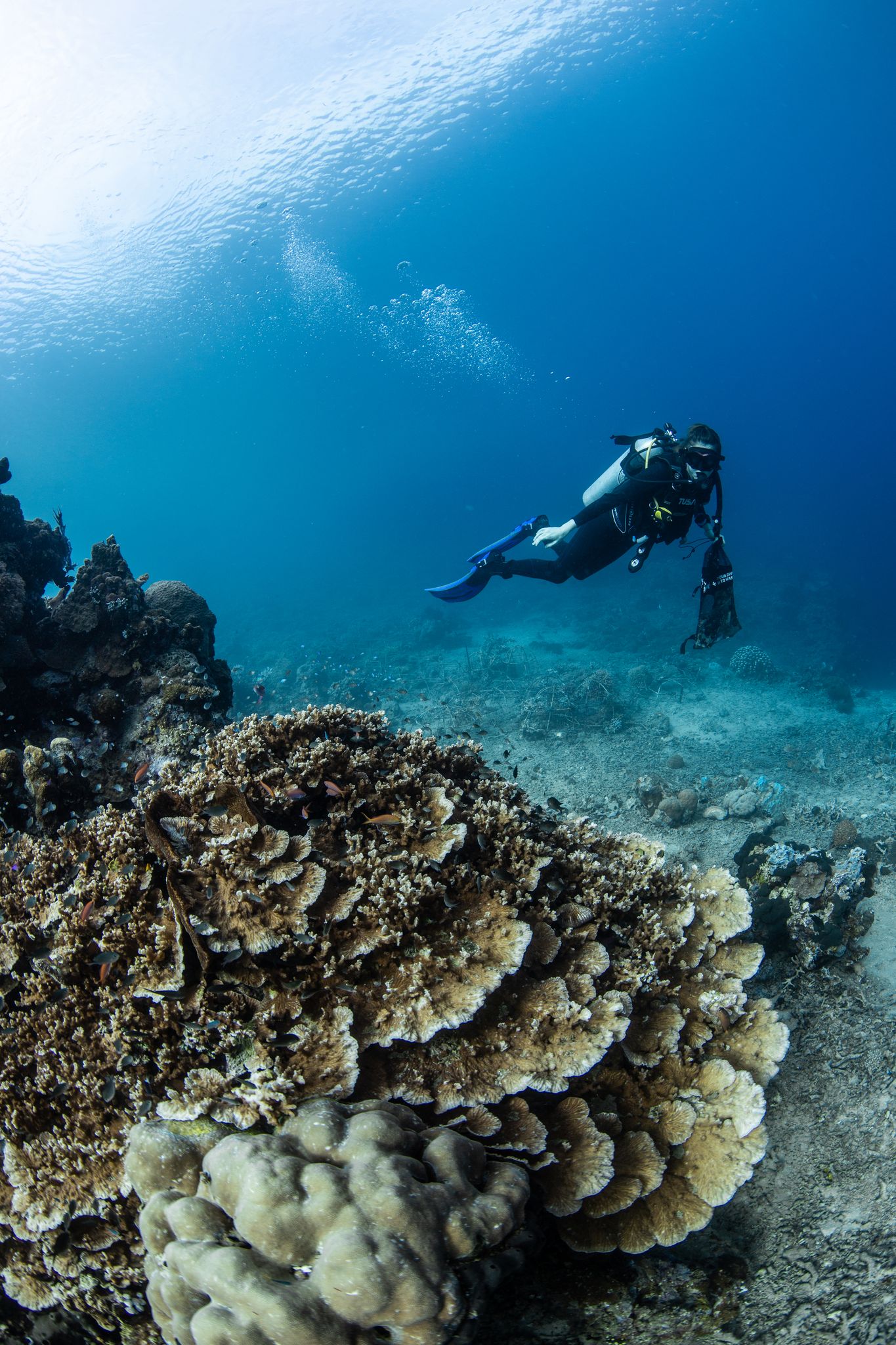
coral
3
1.6180100569967, 124.7479797518
This is a jetty close to one of the main villages on Bunaken Island
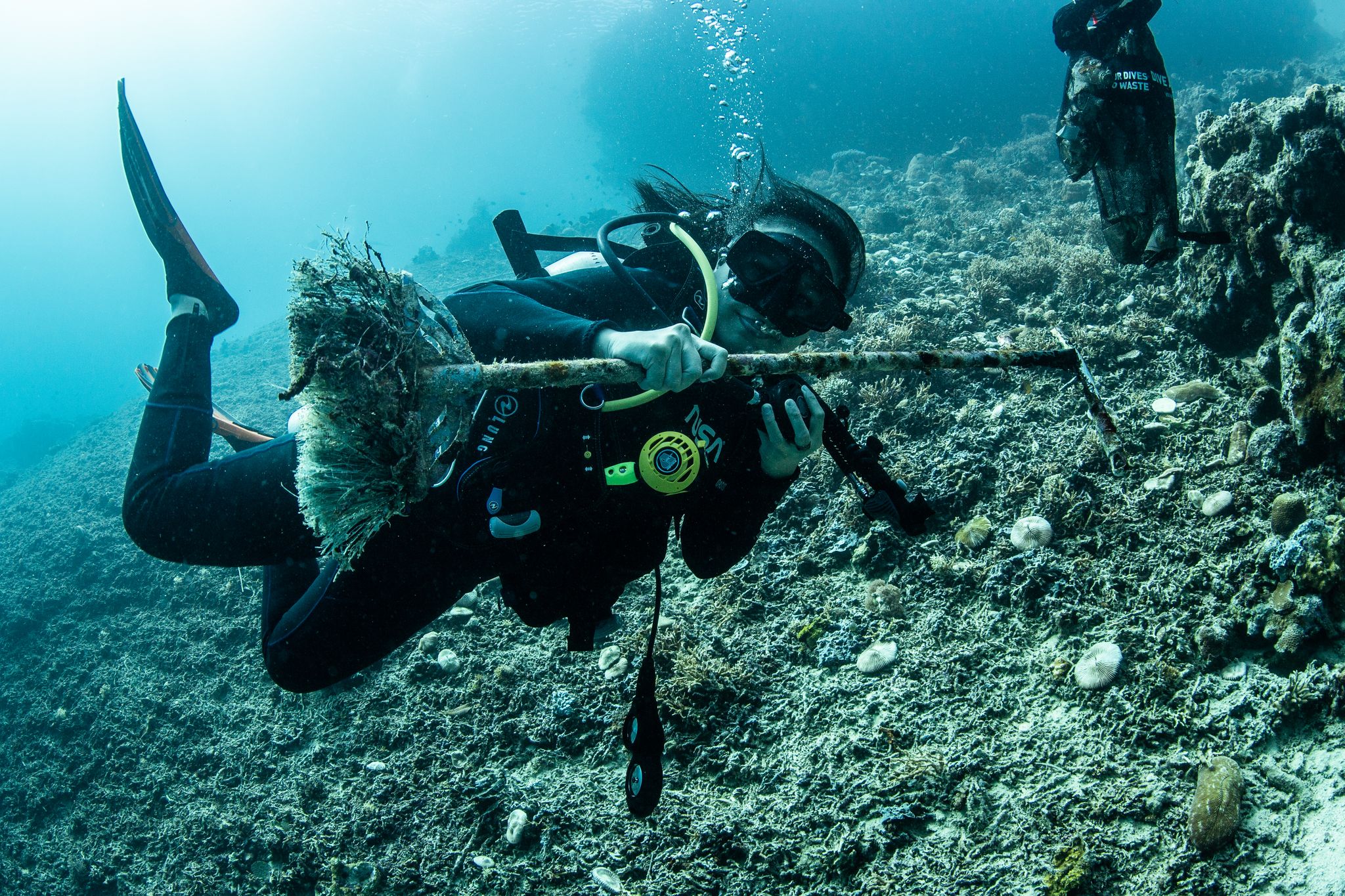
Broom
Calm seas, little to no wind
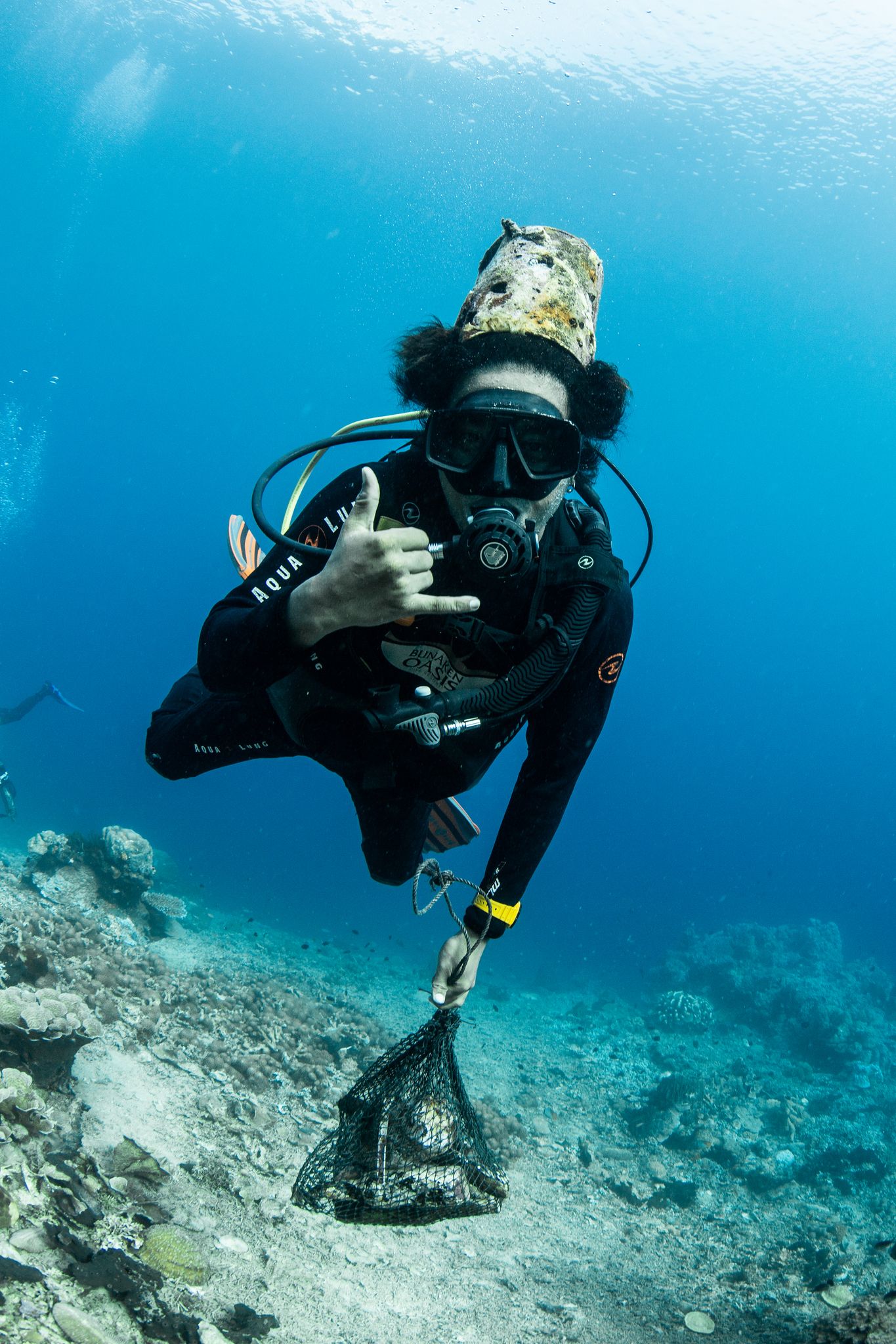
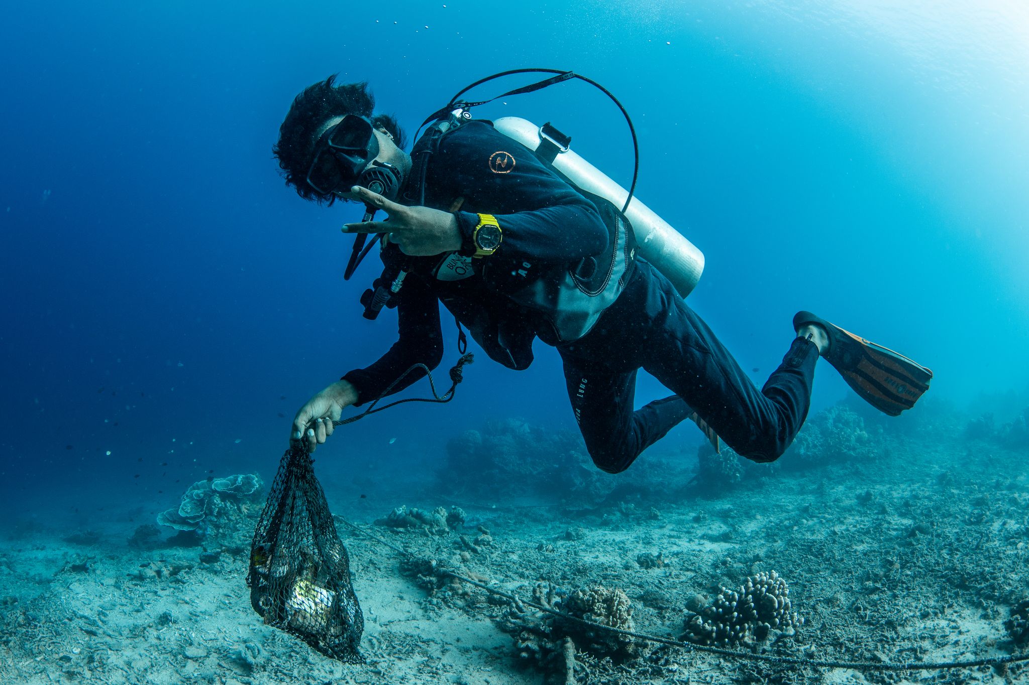
Bunaken Oasis Dive Resort and Spa
Kelly Moore
1
2
1
1
8
2
1
1
1
10.00
40
12.00
5.00
estimated
0.00
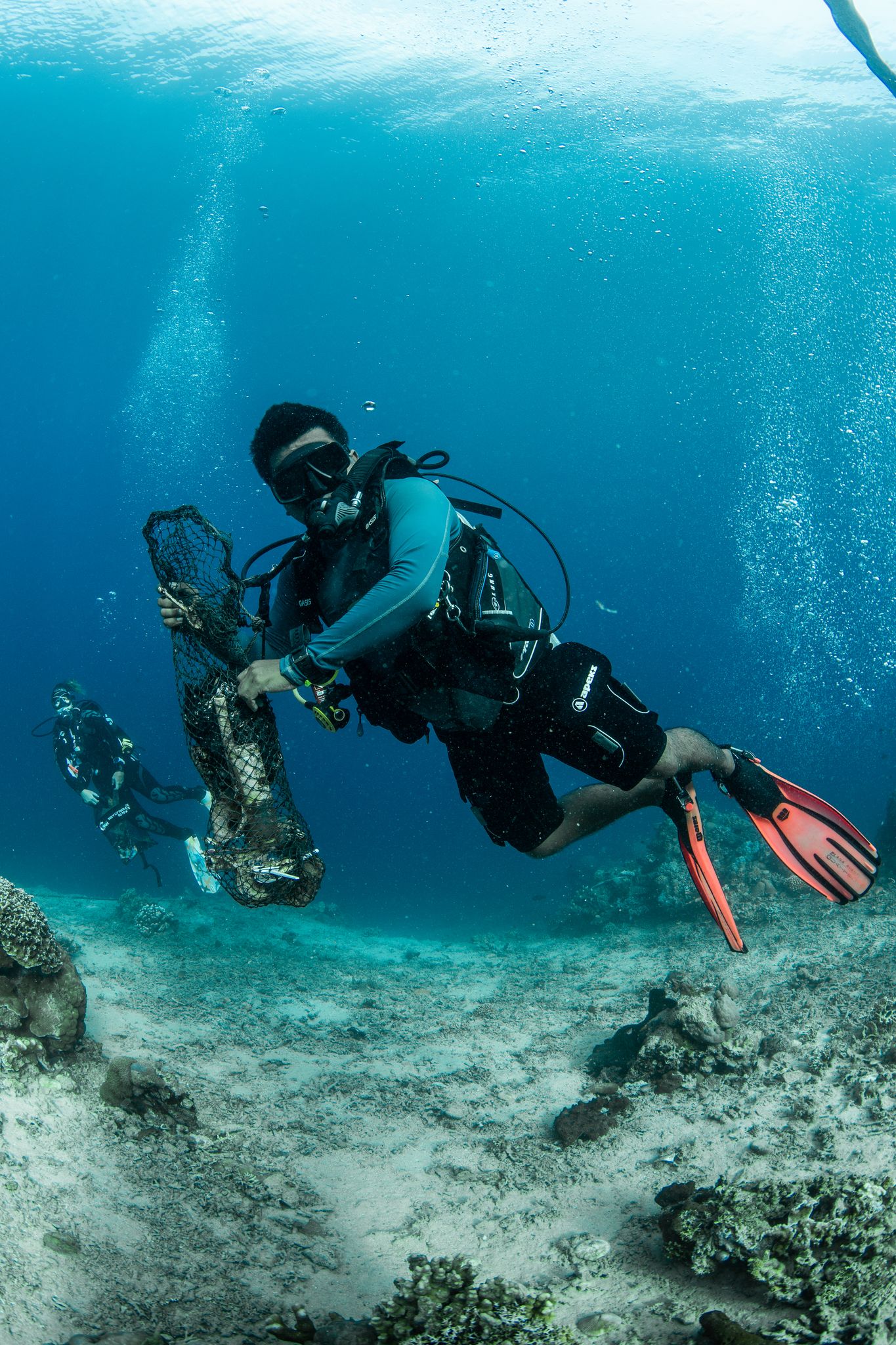
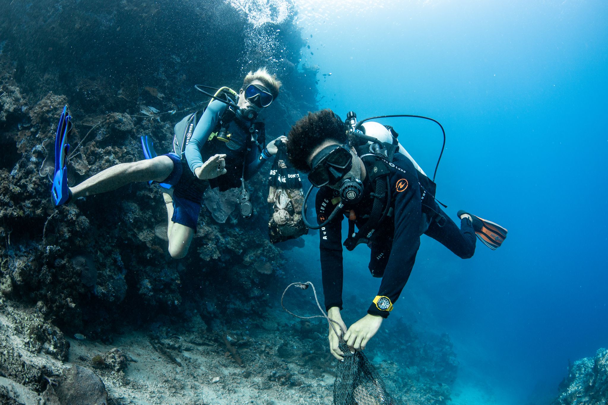
Plastic
Building materials
Wood debris
On
kilograms
I have debris data to report
3
Smooth (wavelets) for waves 0.1 - 0.5 meter high
m2
meters
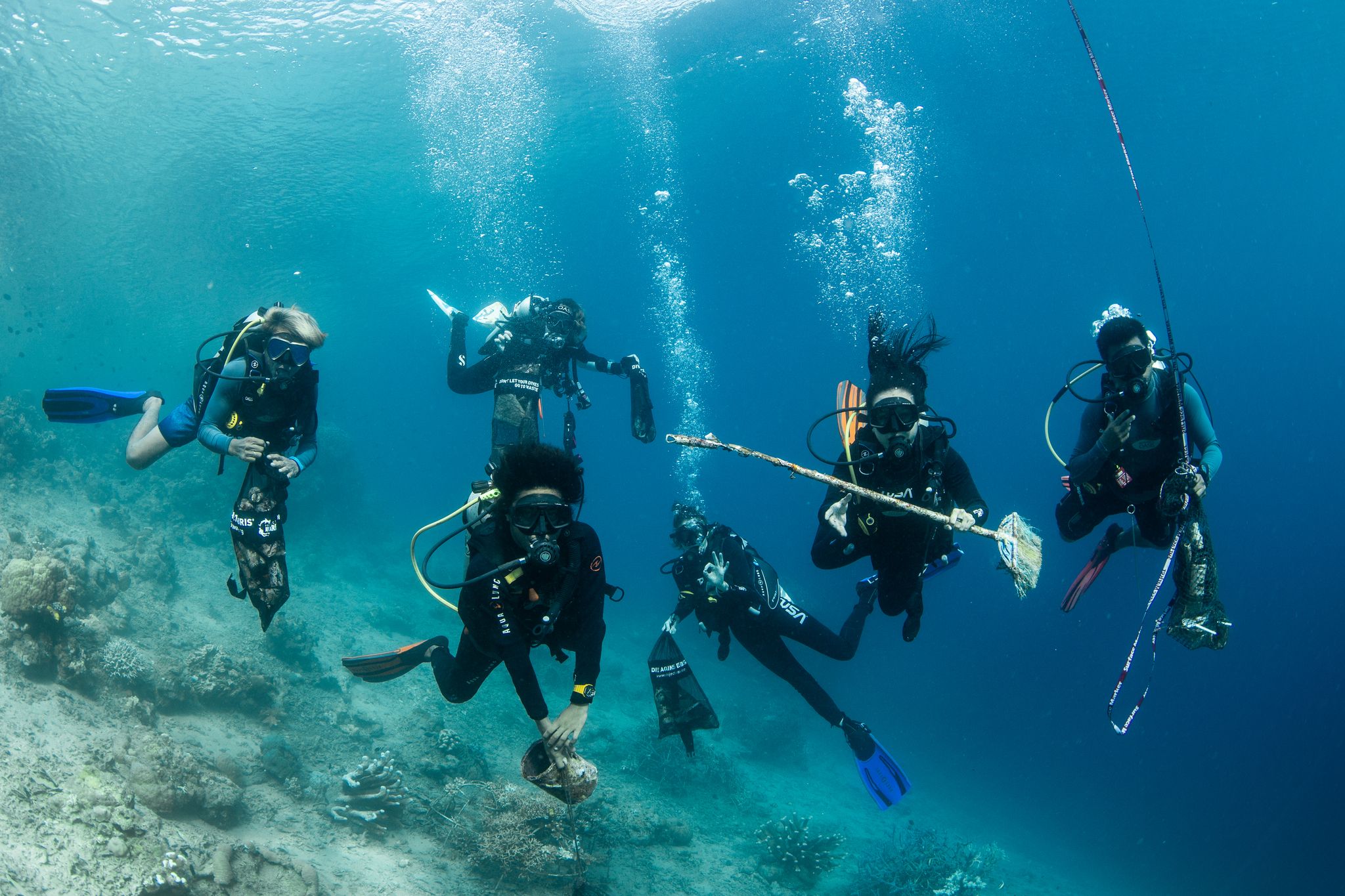
coral reef
1
1
3
State\Province
Sulawesi Utara
City
Bunaken Island
Map Help
Dive Location
If you know your survey site coordinates, enter them manually in decimal degrees using WGS84 Map Datum. Use the minus sign for latitudes south of the equator and longitudes west of the Prime Meridian to 180 degrees.
If you do not know your survey site coordinates, click the “Map Location” tab to use the map to zoom into your survey site and drop the pin on the map to fall within your survey dive site in the water (not on land or the beach). Ensure you zoom in as much as possible to ensure data accuracy.
Entangled Help