Menu

Turtle cove

0
12
0
0

0.83559, 73.406714

0
4
0
coral
2
2
0
27
0
No
Hooks
Windy
Pullman Suvadiva
Sara de Nicole
0
0
0
0
0
0
0
0
0
0
0
0
0
0
0
0
0
0
0
2
0
0
0
0
1
0
2
1
0
0
0
0
0
0
0
0
6.00
50
14.00
5.00
4
measured
0
0
0
23
636.89
0
0
0
0
0
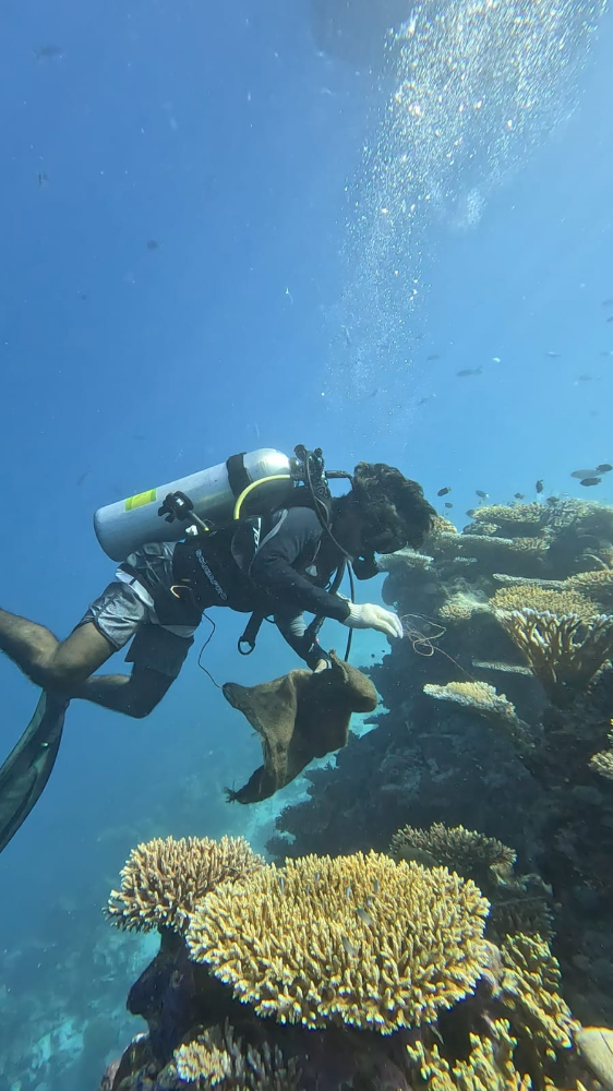
Plastic bags
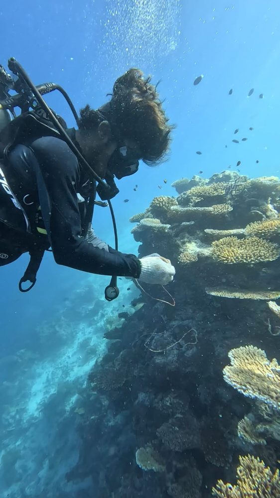
Fishing lines
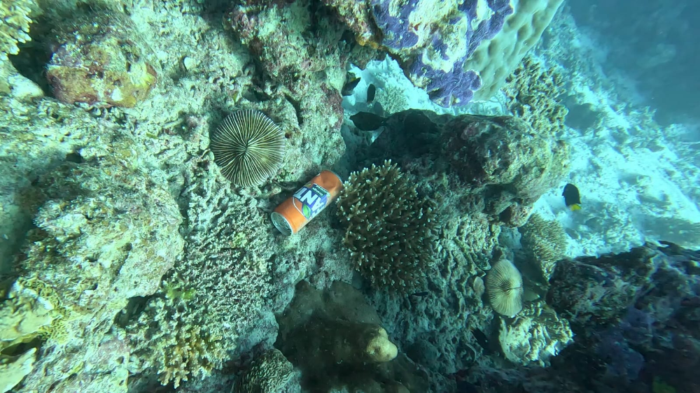
Cans
0
On
kilograms
0
I have debris data to report
0
0
0
Smooth (wavelets) for waves 0.1 - 0.5 meter high
0
0
0
0
0
0
0
m2
0
0
meters
coral reef
0
0
0
0
0
0
0
0
0
0
0
0
0
0
0
0
2
3
0
0
0
0
0
0
0
0
0
0
0
Maldives
State\Province
Gaafu Atoll
City
Maamutaa
Map Help


Dive Location

If you know your survey site coordinates, enter them manually in decimal degrees using WGS84 Map Datum. Use the minus sign for latitudes south of the equator and longitudes west of the Prime Meridian to 180 degrees.

If you do not know your survey site coordinates, click the “Map Location” tab to use the map to zoom into your survey site and drop the pin on the map to fall within your survey dive site in the water (not on land or the beach). Ensure you zoom in as much as possible to ensure data accuracy.

Entangled Help


Use the vertical tabs below to record any entangled animals you found of each type.

inatori port

34.772075782121, 139.04302340917

17
silt

34.772075782121, 139.04302340917

Calm climate
Inatori marin sport centre
kazuhiro kuki
17
4
3
3.00
40
12.00
6.00
estimated
1000.00
On
kilograms
I have debris data to report
Calm (glassy to rippled) for waves 0 – 0.1 meter high m2
meters
other
Japan
State\Province
shizuoka
City
higasi-izu
Map Help


Dive Location

If you know your survey site coordinates, enter them manually in decimal degrees using WGS84 Map Datum. Use the minus sign for latitudes south of the equator and longitudes west of the Prime Meridian to 180 degrees.

If you do not know your survey site coordinates, click the “Map Location” tab to use the map to zoom into your survey site and drop the pin on the map to fall within your survey dive site in the water (not on land or the beach). Ensure you zoom in as much as possible to ensure data accuracy.
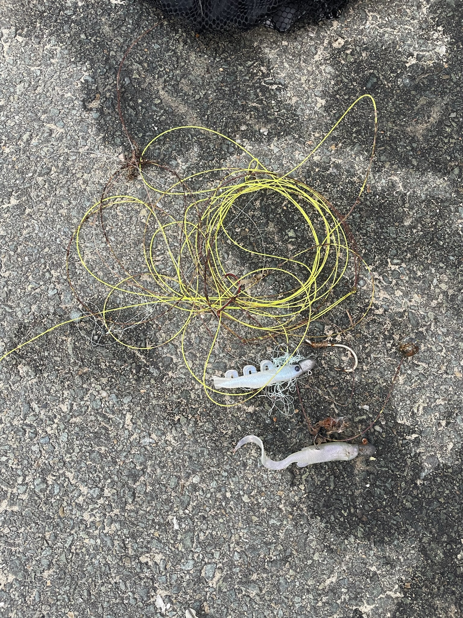
Entangled Help


Use the vertical tabs below to record any entangled animals you found of each type.

batu bolong

-8.53608, 119.613991

coral

-8.5330232813317, 119.62760499065

Good, Sunny, no rain, Medium winds previous 2 days, calm winds before that.
Azul Komodo
Simon Kidner
3
0.00
48
25.00
5.00
measured
200.00
On
kilograms
Our Survey Site was free of debris
Smooth (wavelets) for waves 0.1 - 0.5 meter high m2
meters
coral reef
Indonesia
State\Province
Flores
City
Labuan Bajo
Map Help


Dive Location

If you know your survey site coordinates, enter them manually in decimal degrees using WGS84 Map Datum. Use the minus sign for latitudes south of the equator and longitudes west of the Prime Meridian to 180 degrees.

If you do not know your survey site coordinates, click the “Map Location” tab to use the map to zoom into your survey site and drop the pin on the map to fall within your survey dive site in the water (not on land or the beach). Ensure you zoom in as much as possible to ensure data accuracy.
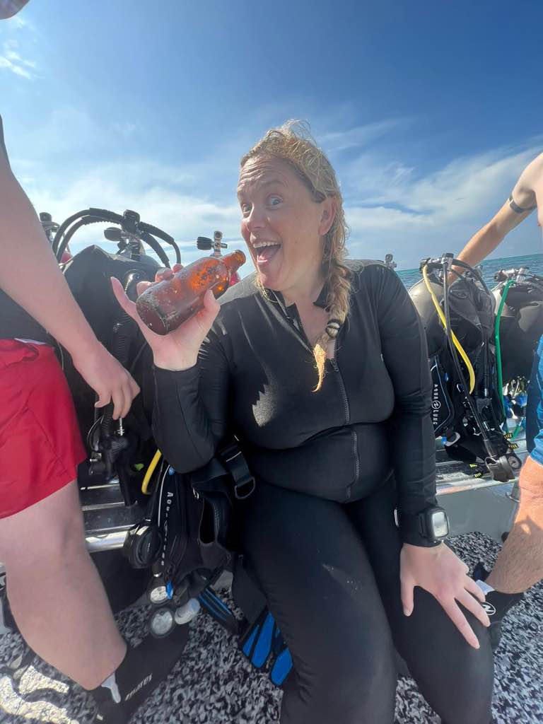
Entangled Help


Use the vertical tabs below to record any entangled animals you found of each type.

Mooloolaba Spit

sand
3

-26.680644060647, 153.1327231891

Fishing debris - popular fishing spot.
Indigo Sussmilch
3
0.20
60
5.00
1.00
estimated
7
3336.75
On
kilograms
I have debris data to report
Calm (glassy to rippled) for waves 0 – 0.1 meter high m2
meters
rocky reef
Australia
State\Province
QLD
City
Mooloolaba
Map Help


Dive Location

If you know your survey site coordinates, enter them manually in decimal degrees using WGS84 Map Datum. Use the minus sign for latitudes south of the equator and longitudes west of the Prime Meridian to 180 degrees.

If you do not know your survey site coordinates, click the “Map Location” tab to use the map to zoom into your survey site and drop the pin on the map to fall within your survey dive site in the water (not on land or the beach). Ensure you zoom in as much as possible to ensure data accuracy.
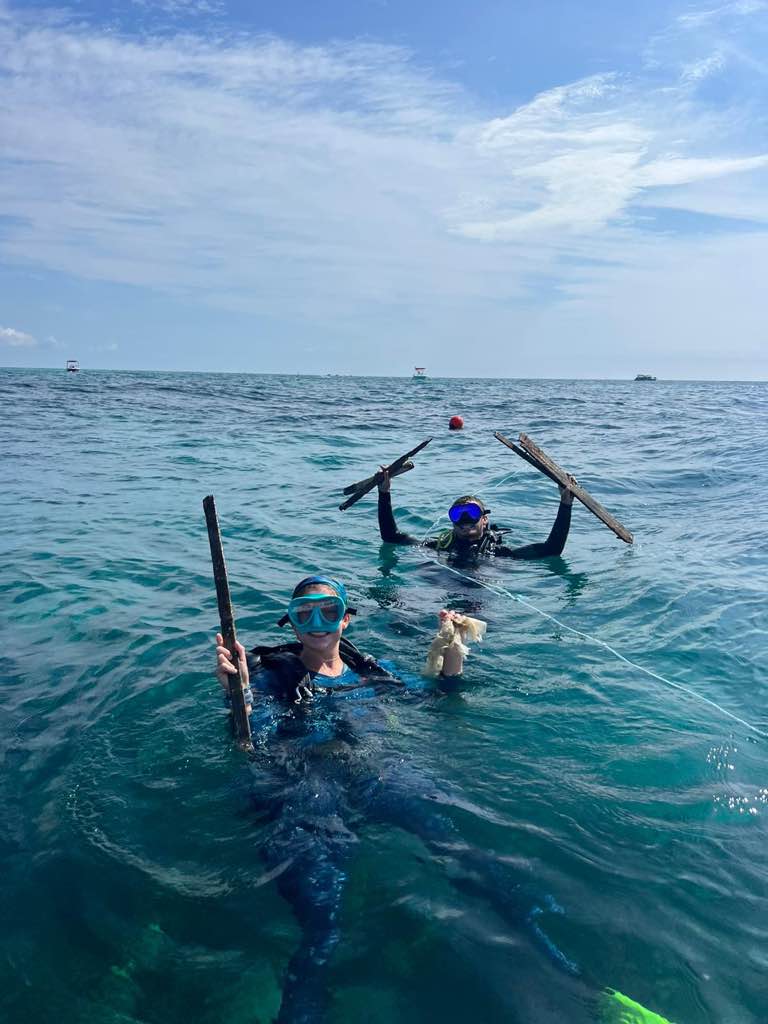
Entangled Help


Use the vertical tabs below to record any entangled animals you found of each type.

The Dive Bus Office S20854

0
0
0
0

12.090301, -68.905262

0
0
0
coral
0
0
0
50
0
No
Baby doll head
Average wind
The Dive Bus
Mark
0
0
0
5
0
0
0
0
0
0
1
0
1
0
0
0
0
2
1
13
0
0
1
0
0
0
2
0
0
0
0
0
0
0
0
0
5.20
58
10.00
1.00
0
measured
0
0
0
16
1107.00
0
0
0
0
0
Fishing line
Plastic fragments
1
On
pounds
0
I have debris data to report
3
0
0
Slight for waves 0.5 -1.25 meter high
3
0
0
0
2
0
0
ft2
1
0
meters
coral reef
1
0
0
0
0
1
0
0
0
0
0
0
0
0
0
1
1
0
0
0
0
0
14
0
1
0
0
0
0
Netherlands Antilles
City
Willemstad
Map Help


Dive Location

If you know your survey site coordinates, enter them manually in decimal degrees using WGS84 Map Datum. Use the minus sign for latitudes south of the equator and longitudes west of the Prime Meridian to 180 degrees.

If you do not know your survey site coordinates, click the “Map Location” tab to use the map to zoom into your survey site and drop the pin on the map to fall within your survey dive site in the water (not on land or the beach). Ensure you zoom in as much as possible to ensure data accuracy.
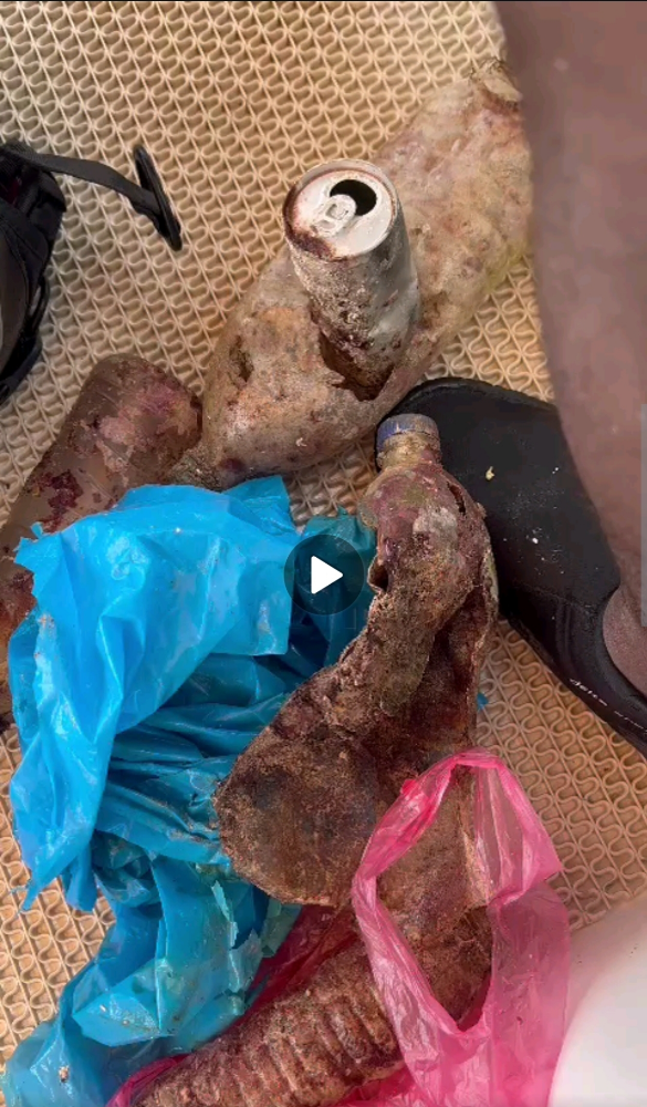
Entangled Help


Use the vertical tabs below to record any entangled animals you found of each type.

SS Benwood Wreck S2061

0
0
0
0

25.0523, -80.332

0
0
0
coral
0
0
0
0
0
Silent World Dive Center
Killian
0
0
0
0
0
0
0
0
0
0
0
0
0
0
0
0
0
0
0
6
0
0
0
0
0
0
0
0
0
0
0
0
0
0
0
0
0.00
45
35.00
10.00
0
measured
0
0
10000.00
0
0
0
0
0
0
On
kilograms
0
Our Survey Site was free of debris
0
0
0
Smooth (wavelets) for waves 0.1 - 0.5 meter high
0
0
0
0
0
0
0
ft2
0
0
feet
coral reef
0
0
0
0
0
0
0
0
0
0
0
0
0
0
0
0
0
0
0
0
0
0
0
0
0
0
0
0
0
United States
Map Help


Dive Location

If you know your survey site coordinates, enter them manually in decimal degrees using WGS84 Map Datum. Use the minus sign for latitudes south of the equator and longitudes west of the Prime Meridian to 180 degrees.

If you do not know your survey site coordinates, click the “Map Location” tab to use the map to zoom into your survey site and drop the pin on the map to fall within your survey dive site in the water (not on land or the beach). Ensure you zoom in as much as possible to ensure data accuracy.
Entangled Help


Use the vertical tabs below to record any entangled animals you found of each type.

Key Largo Dry Rocks: Christ of the Abyss S2061

0
0
0
0

25.12, -80.3

0
0
0
coral
0
0
0
0
0
Silent World Dive Center
Ashlyn
0
0
0
0
0
0
0
0
0
0
0
0
0
0
0
0
0
0
0
2
0
0
0
0
0
0
1
0
0
0
0
0
0
0
0
0
0.10
45
25.00
5.00
0
estimated
0
0
12000.00
0
0
0
0
0
0
On
pounds
0
I have debris data to report
0
0
0
Smooth (wavelets) for waves 0.1 - 0.5 meter high
0
0
0
0
0
0
0
ft2
0
0
feet
coral reef
0
0
0
0
0
0
0
0
0
0
0
0
0
0
0
0
0
0
0
0
0
0
0
0
0
0
0
0
0
United States
Map Help


Dive Location

If you know your survey site coordinates, enter them manually in decimal degrees using WGS84 Map Datum. Use the minus sign for latitudes south of the equator and longitudes west of the Prime Meridian to 180 degrees.

If you do not know your survey site coordinates, click the “Map Location” tab to use the map to zoom into your survey site and drop the pin on the map to fall within your survey dive site in the water (not on land or the beach). Ensure you zoom in as much as possible to ensure data accuracy.
Entangled Help


Use the vertical tabs below to record any entangled animals you found of each type.

Banana Patch S2061

0
0
0
0

25.1118, -80.3052

0
0
0
coral
0
0
0
0
0
Silent World Dive Center
Ashlyn
0
0
0
0
0
0
0
0
0
0
0
0
0
0
0
0
0
0
0
2
0
0
0
0
0
0
0
0
0
0
0
0
0
0
0
0
20.00
45
25.00
10.00
0
estimated
0
0
10000.00
0
0
0
0
0
0
On
pounds
0
I have debris data to report
0
5
0
Smooth (wavelets) for waves 0.1 - 0.5 meter high
0
0
0
0
0
0
0
m2
0
0
feet
coral reef
0
0
0
0
0
0
0
0
0
0
0
0
0
0
0
0
0
0
0
0
0
0
0
0
0
0
0
0
0
United States
Map Help


Dive Location

If you know your survey site coordinates, enter them manually in decimal degrees using WGS84 Map Datum. Use the minus sign for latitudes south of the equator and longitudes west of the Prime Meridian to 180 degrees.

If you do not know your survey site coordinates, click the “Map Location” tab to use the map to zoom into your survey site and drop the pin on the map to fall within your survey dive site in the water (not on land or the beach). Ensure you zoom in as much as possible to ensure data accuracy.
Entangled Help


Use the vertical tabs below to record any entangled animals you found of each type.

alqunfoda #534215

0
2
0
0

19.113214, 40.993868

0
0
0
sand
0
4
0
0
0
Plastic bags
Hamzah
1
0
0
1
0
0
0
0
0
0
0
0
3
0
0
0
0
6
0
6
0
0
0
4
5
0
6
2
0
4
0
0
0
0
0
0
20.00
45
15.00
6.00
0
measured
0
0
0
0
200.00
0
0
0
0
0
Broken bottles
Plastics
0
On
kilograms
0
I have debris data to report
2
0
0
Smooth (wavelets) for waves 0.1 - 0.5 meter high
0
0
0
0
0
0
0
m2
0
0
meters
coral reef
0
0
0
0
0
0
0
0
0
0
0
0
0
0
0
0
0
0
0
0
0
0
0
0
0
0
0
0
0
Saudi Arabia
State\Province
Mekka
City
Alkonfodah
Map Help


Dive Location

If you know your survey site coordinates, enter them manually in decimal degrees using WGS84 Map Datum. Use the minus sign for latitudes south of the equator and longitudes west of the Prime Meridian to 180 degrees.

If you do not know your survey site coordinates, click the “Map Location” tab to use the map to zoom into your survey site and drop the pin on the map to fall within your survey dive site in the water (not on land or the beach). Ensure you zoom in as much as possible to ensure data accuracy.
Entangled Help


Use the vertical tabs below to record any entangled animals you found of each type.

ナベカ団地

0
6
5
0

33.850249567625, 132.07711865806

3
0
2
sand
0
12
0
2
0
分からない
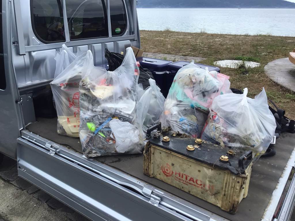
バッテリー
くもり 雨
Love&Blue
小川智之
0
0
0
4
0
0
0
0
0
0
0
0
1
0
0
0
0
0
0
11
0
0
0
0
2
3
20
1
0
0
1
0
0
0
1
0
37.00
60
10.00
1.00
0
estimated
0
2
16201.50
1
0
0
0
0
釣りの餌袋
漁具
ルアー
0
On
kilograms
0
I have debris data to report
23
0
0
Calm (glassy to rippled) for waves 0 – 0.1 meter high
0
0
0
0
3
0
0
m2
0
0
meters
kelp
0
0
0
0
0
5
0
0
0
0
0
0
0
0
0
0
0
26
0
0
3
0
0
0
0
0
1
0
0
Japan
State\Province
山口県
City
熊毛郡上関町
Map Help


Dive Location

If you know your survey site coordinates, enter them manually in decimal degrees using WGS84 Map Datum. Use the minus sign for latitudes south of the equator and longitudes west of the Prime Meridian to 180 degrees.

If you do not know your survey site coordinates, click the “Map Location” tab to use the map to zoom into your survey site and drop the pin on the map to fall within your survey dive site in the water (not on land or the beach). Ensure you zoom in as much as possible to ensure data accuracy.

Entangled Help


Use the vertical tabs below to record any entangled animals you found of each type.

Subscribe to