Mashraba
27
61
10
28.495925595172, 34.517132544093
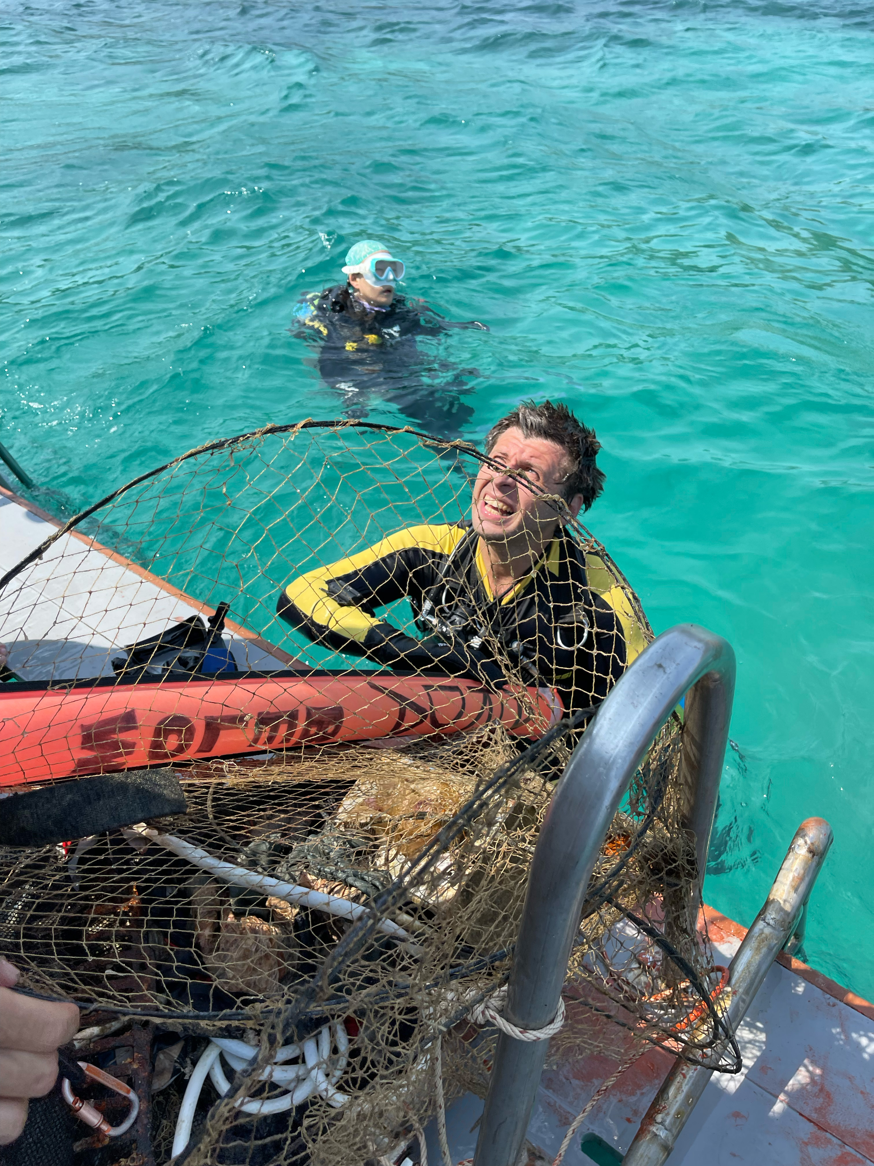
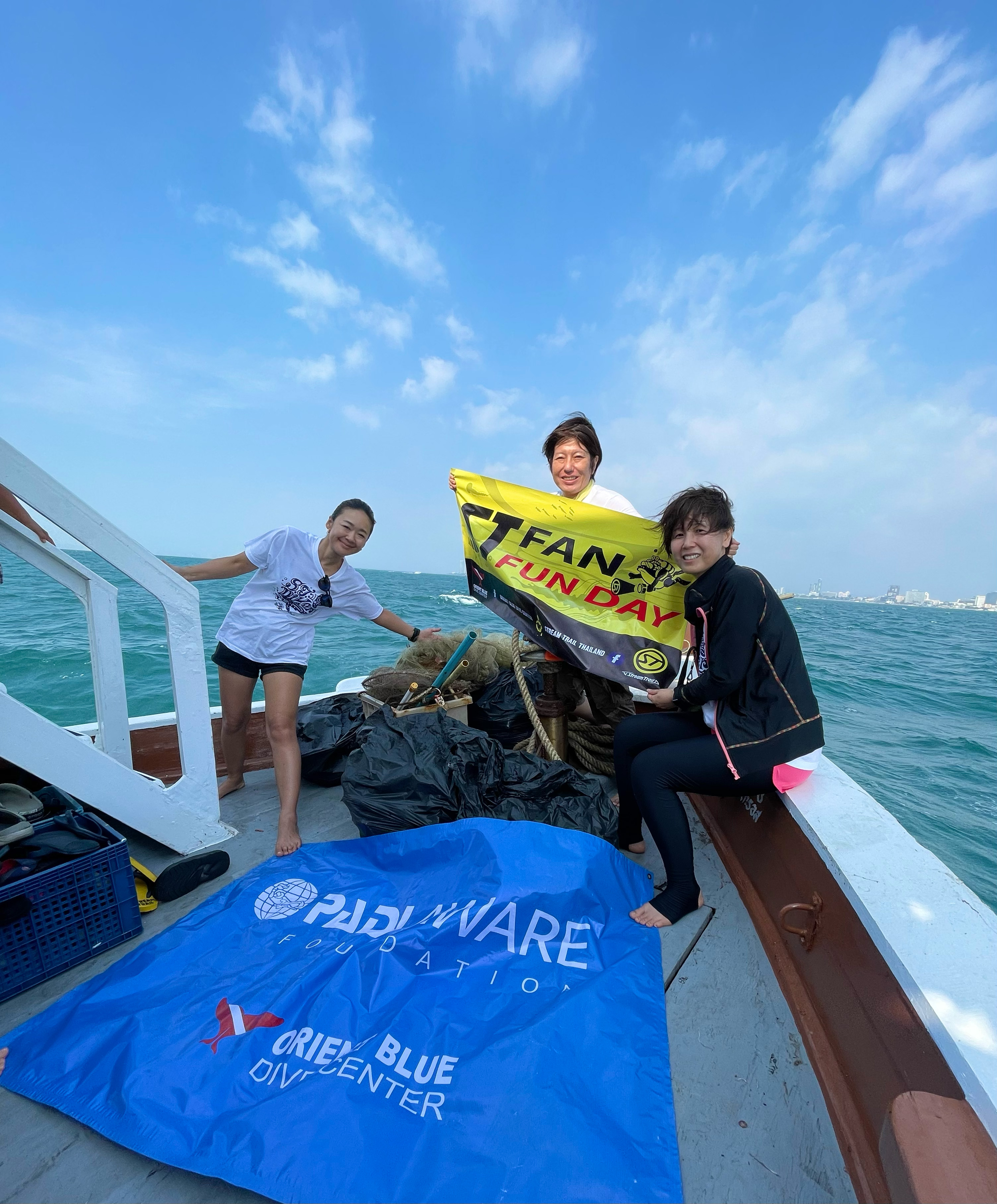
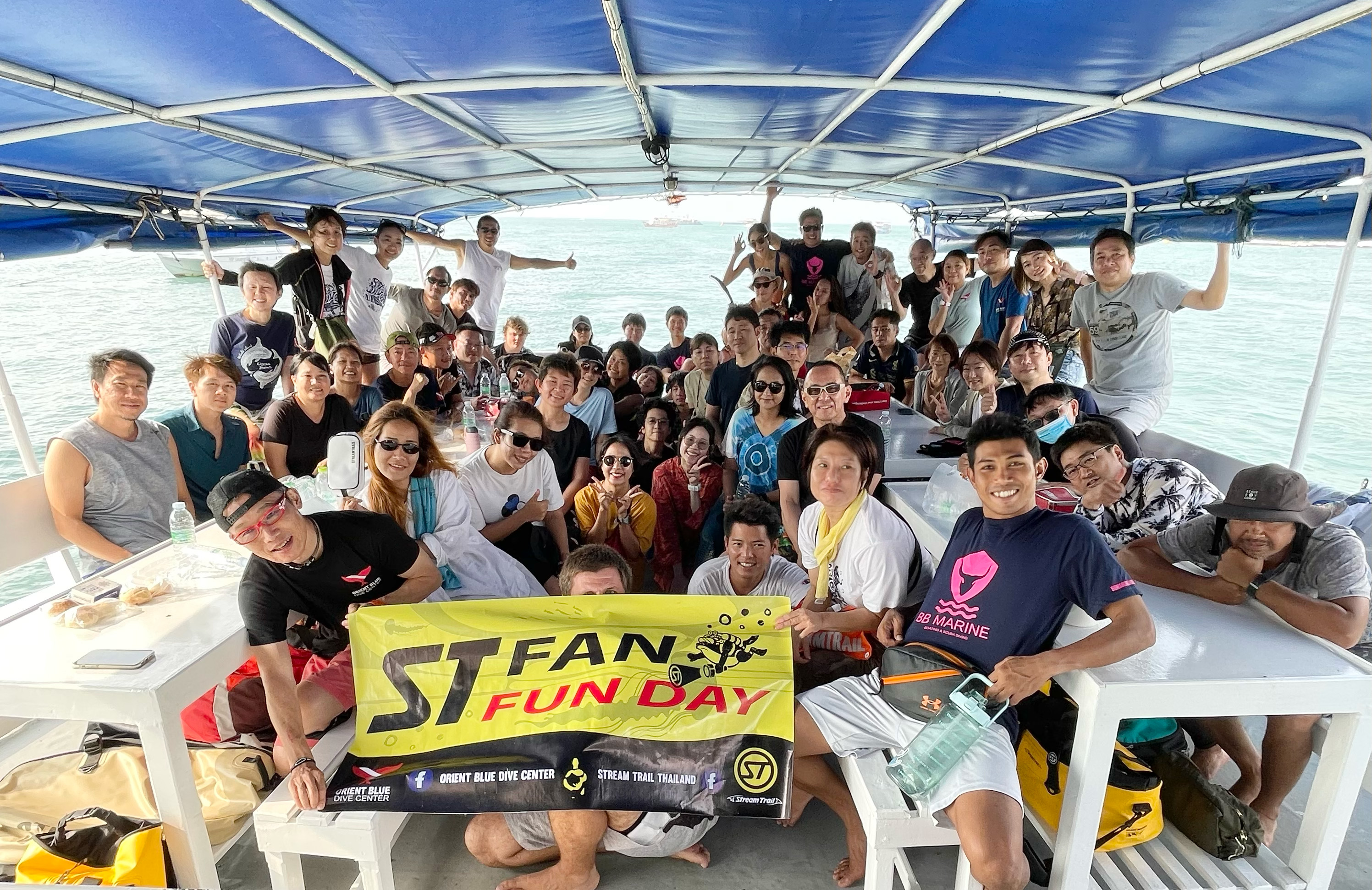
Scuba Seekers
Christina Ewerhardy
20
3
2
30
2
8
10.00
63
20.00
5.00
estimated
300.00
2
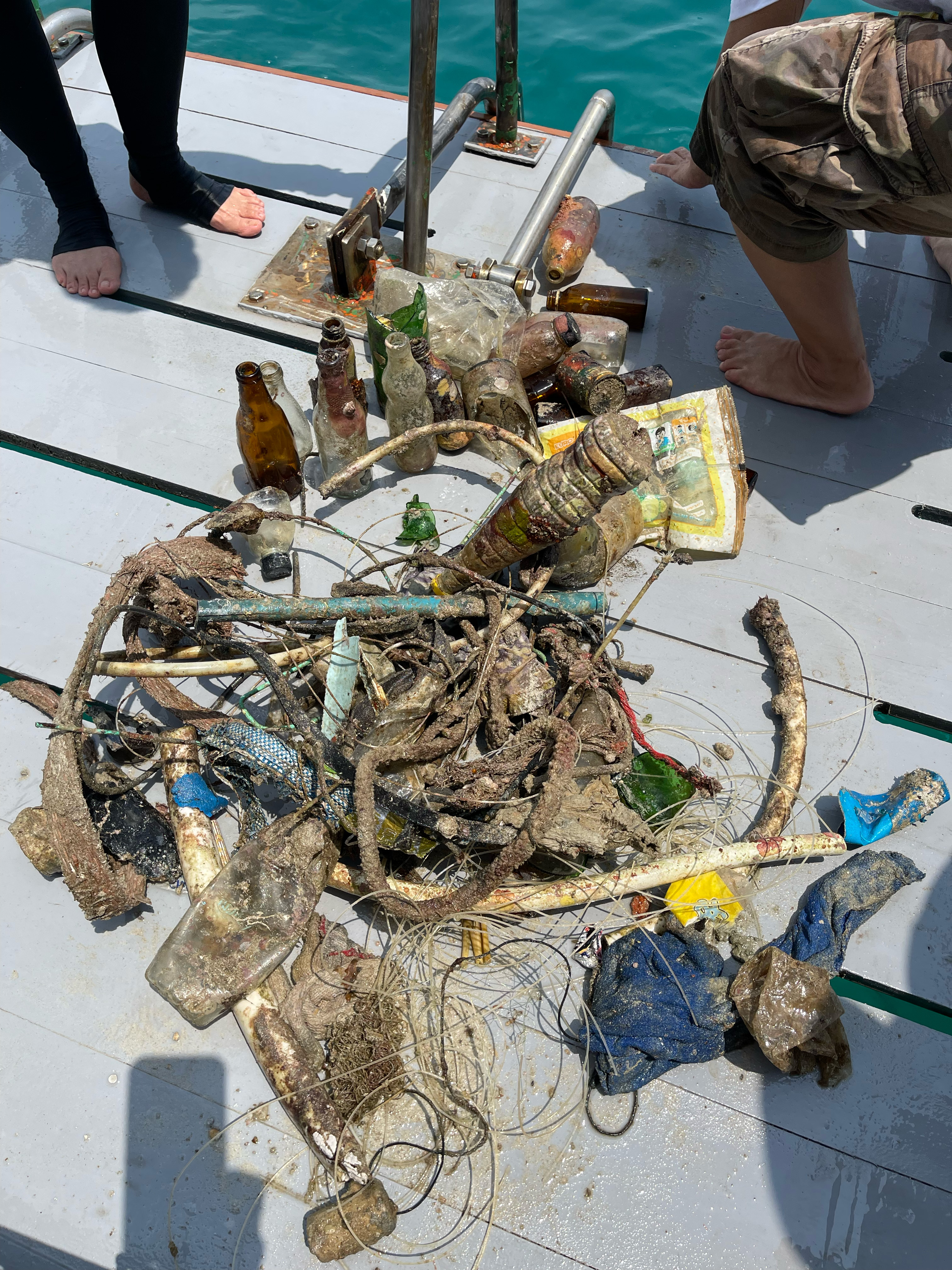
Beverage cans
Plastic fragments
Food wrappers
On
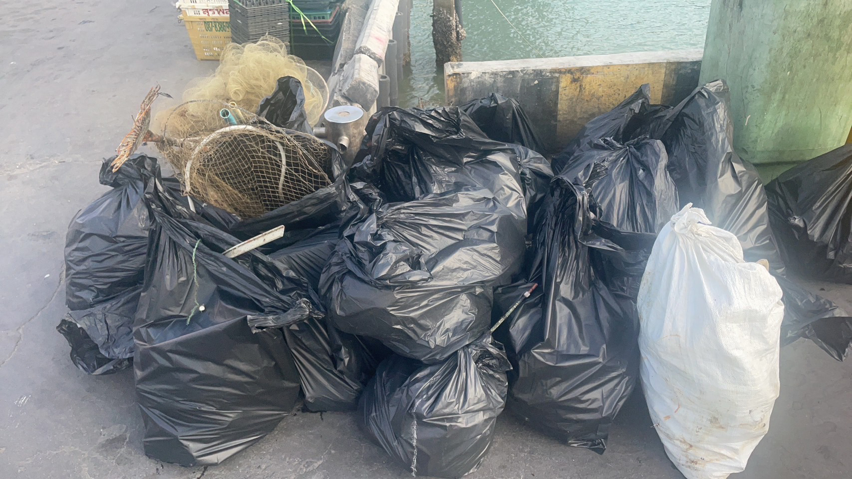
kilograms
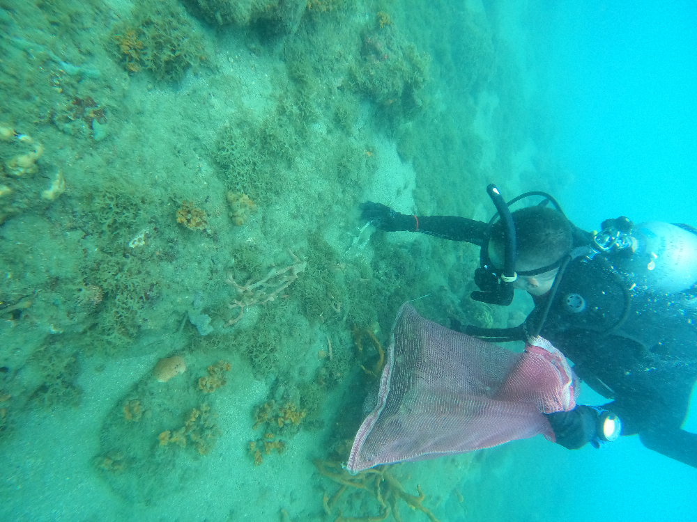
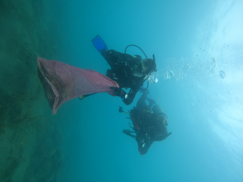
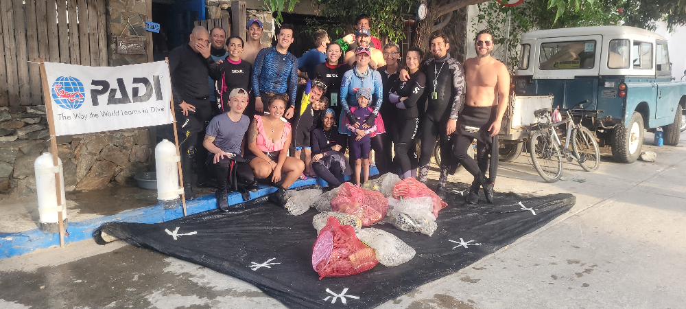
I have debris data to report
8
Smooth (wavelets) for waves 0.1 - 0.5 meter high
28
m2
meters
seagrass
5
12
14
15
State\Province
South Sinai
City
Dahab
Map Help
Dive Location
If you know your survey site coordinates, enter them manually in decimal degrees using WGS84 Map Datum. Use the minus sign for latitudes south of the equator and longitudes west of the Prime Meridian to 180 degrees.
If you do not know your survey site coordinates, click the “Map Location” tab to use the map to zoom into your survey site and drop the pin on the map to fall within your survey dive site in the water (not on land or the beach). Ensure you zoom in as much as possible to ensure data accuracy.
Entangled Help