Buzzard Point S27846
0
0
0
0
0
0
0
silt
0
0
0
0
0
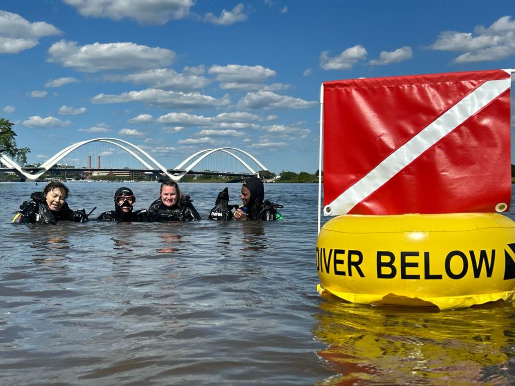
38.86388578226, -77.011395211928
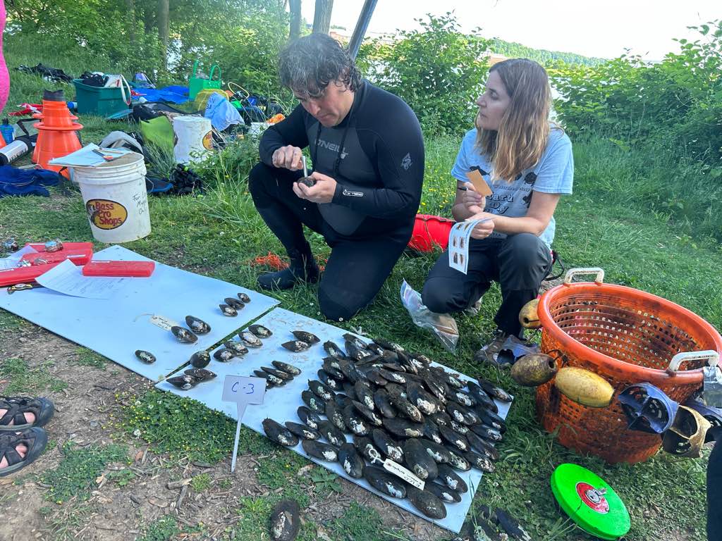
Collected six species of mussels to measure and replant for the Anacostia Watershed Society
No
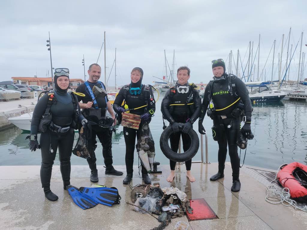
Very clean dive site
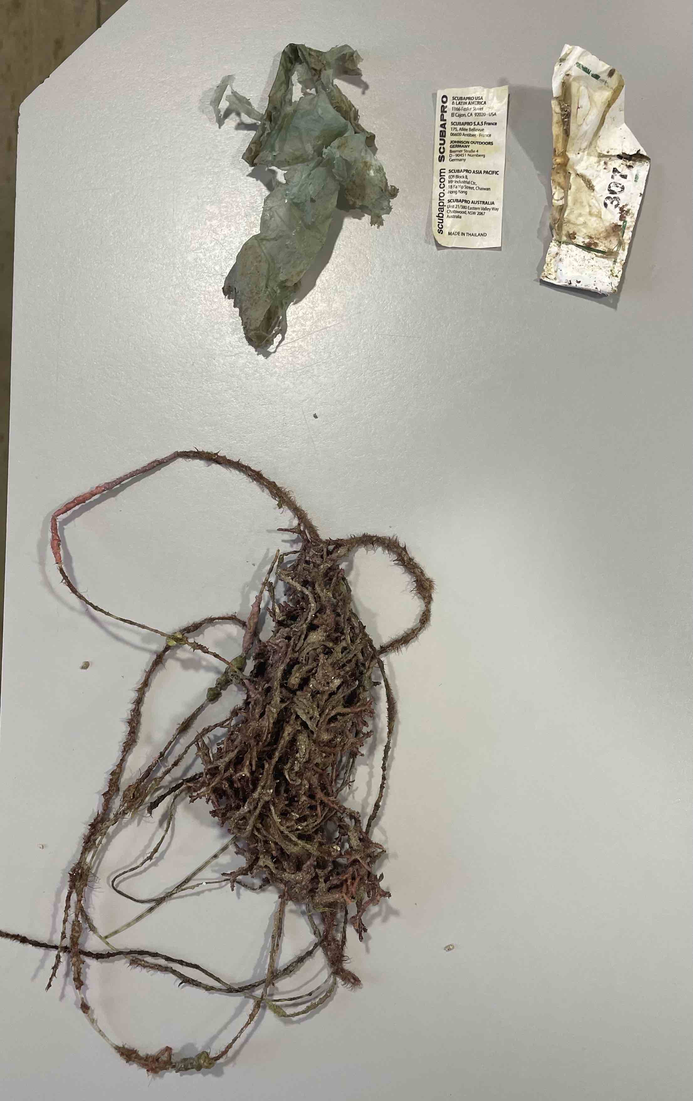
None
Sunny
One Ocean Scuba
Cindy Rosselle
0
0
0
0
0
0
0
0
0
0
0
0
0
0
0
0
0
0
0
6
0
0
0
0
0
0
0
0
0
0
0
0
0
0
0
0
0.00
60
15.00
4.00
0
measured
0
0
234.60
0
0
0
0
0
None
None
None
0
On
kilograms
0
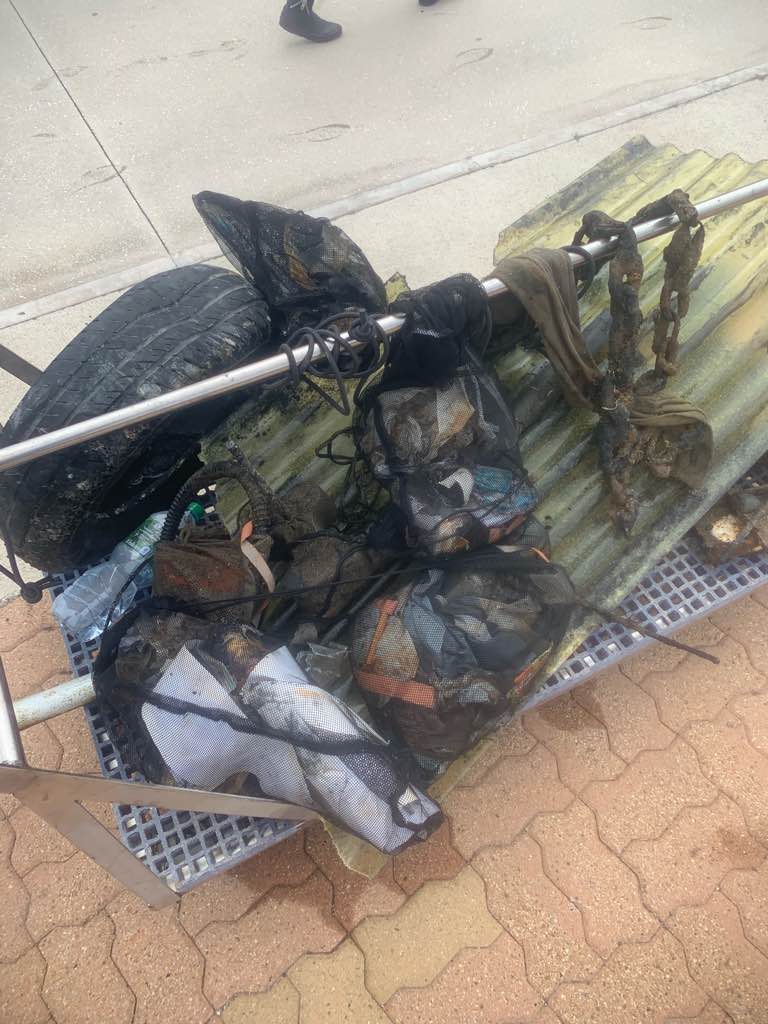
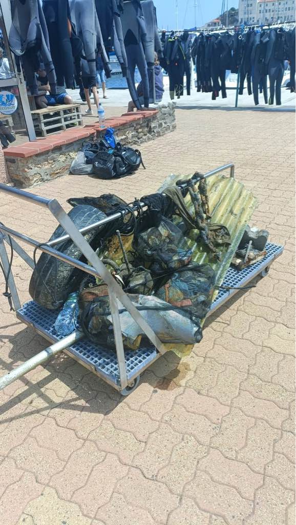
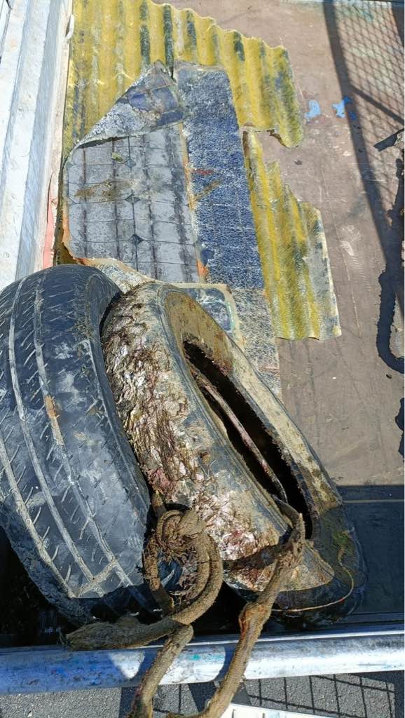
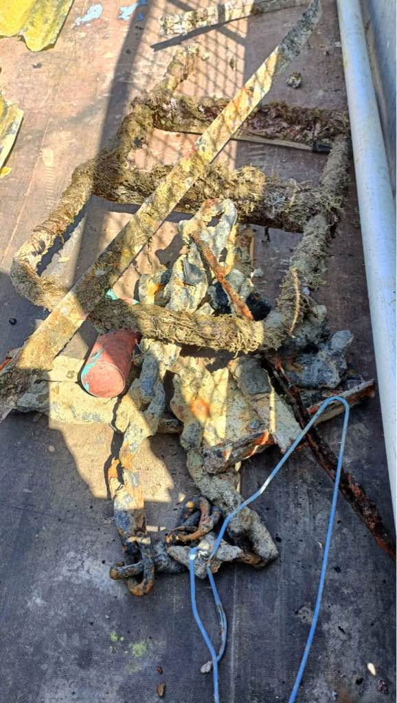
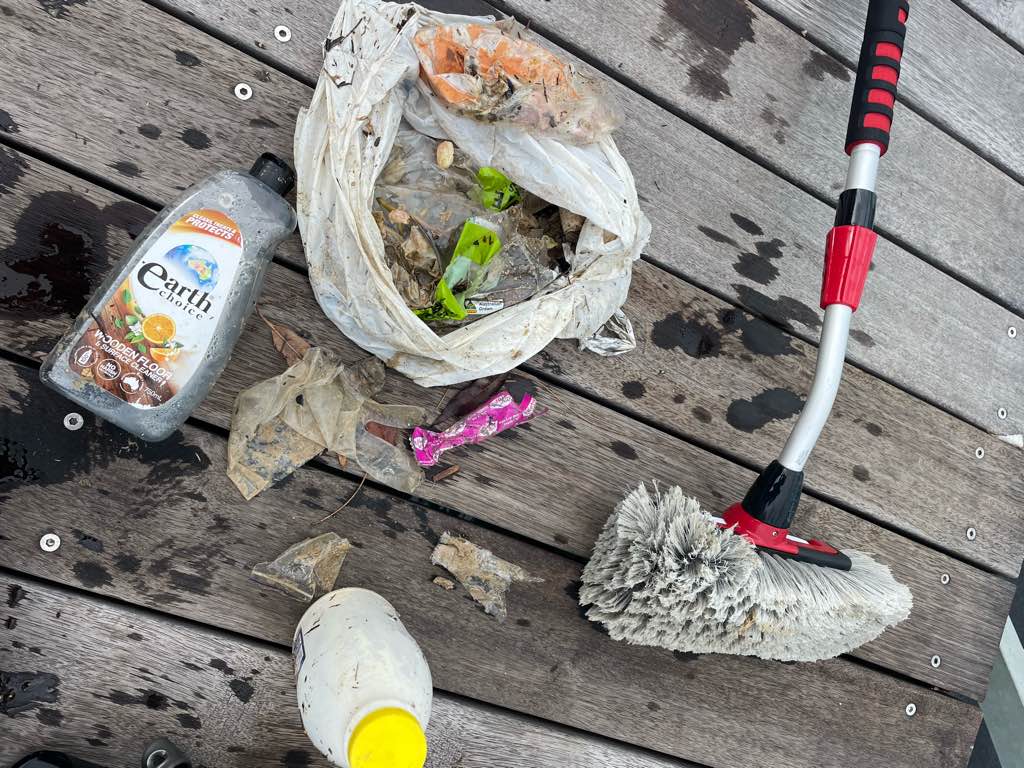
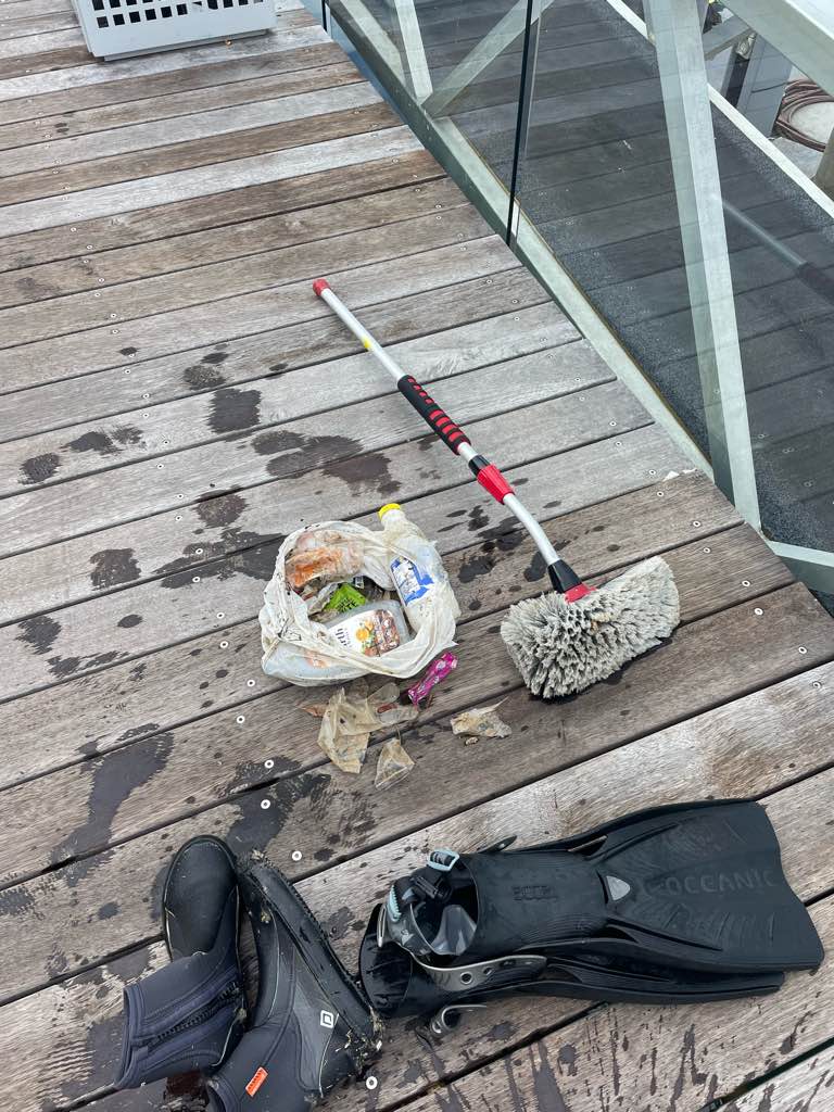
Our Survey Site was free of debris
0
0
0
Calm (glassy to rippled) for waves 0 – 0.1 meter high
0
0
0
0
0
0
0
ft2

0
0
feet
other
0
0
0
0
0
0
0
0
0
0
0
0
0
0
0
0
0
0
0
0
0
0
0
0
0
0
0
0
0
State\Province
DC
City
Washington
Map Help
Dive Location
If you know your survey site coordinates, enter them manually in decimal degrees using WGS84 Map Datum. Use the minus sign for latitudes south of the equator and longitudes west of the Prime Meridian to 180 degrees.
If you do not know your survey site coordinates, click the “Map Location” tab to use the map to zoom into your survey site and drop the pin on the map to fall within your survey dive site in the water (not on land or the beach). Ensure you zoom in as much as possible to ensure data accuracy.
Entangled Help
Use the vertical tabs below to record any entangled animals you found of each type.
Ecosystem Other
River bed