Menu

Lighthouse / Bannerfish Bay

2
95
1
0

28.498747, 34.51991

0
0
0
sand
0
0
2
10
0
No
Species unknown
Very windy
28
Chewing gum
Red Sea Tribe
Rachel Shelley
0
0
0
4
389
0
0
0
0
0
0
0
0
0
0
0
0
0
43
4
0
0
0
0
0
0
2
0
0
0
0
1
0
0
0
0
1.50
30
25.00
1.00
0
estimated
0
0
0
7
1040.96
0
0
0
0
0
Cigarette butts
Plastic fragments
Clothing fragments
0
On
kilograms
0
I have debris data to report
0
0
0
Smooth (wavelets) for waves 0.1 - 0.5 meter high
5
0
0
Unknown
Small Shrimps
Released Unharmed
15
0
0
0
0
m2
0
0
meters
coral reef
1
0
0
0
0
13
0
12
0
99
0
0
0
7
0
0
0
0
0
0
0
0
40
0
0
0
0
0
0
Egypt
State\Province
South Sinai
City
Dahab
Map Help


Dive Location

If you know your survey site coordinates, enter them manually in decimal degrees using WGS84 Map Datum. Use the minus sign for latitudes south of the equator and longitudes west of the Prime Meridian to 180 degrees.

If you do not know your survey site coordinates, click the “Map Location” tab to use the map to zoom into your survey site and drop the pin on the map to fall within your survey dive site in the water (not on land or the beach). Ensure you zoom in as much as possible to ensure data accuracy.

Entangled Help


Use the vertical tabs below to record any entangled animals you found of each type.

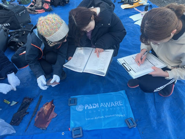
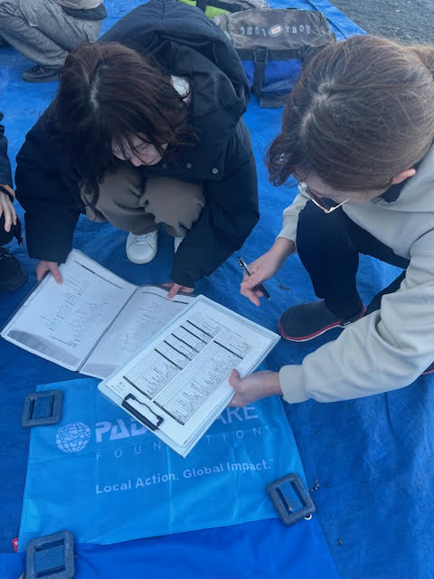
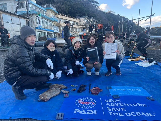
Osezaki, Shizuoka, Japan

2
3

35.02720799529, 138.78910744875

sand
1
Sunny with rainy intervals
1
Foldable umbrella case
Marine House Lei Aloha
Iris Law
2
6
1
1.00
65
8.70
1.00
1
estimated
4627.00
Plastic sheets
Plastic fragments
2
On
kilograms
I have debris data to report
Smooth (wavelets) for waves 0.1 - 0.5 meter high
1
m2
meters
rocky reef
1
Japan
State\Province
Shizuoka
City
Numazu
Map Help


Dive Location

If you know your survey site coordinates, enter them manually in decimal degrees using WGS84 Map Datum. Use the minus sign for latitudes south of the equator and longitudes west of the Prime Meridian to 180 degrees.

If you do not know your survey site coordinates, click the “Map Location” tab to use the map to zoom into your survey site and drop the pin on the map to fall within your survey dive site in the water (not on land or the beach). Ensure you zoom in as much as possible to ensure data accuracy.
Entangled Help


Use the vertical tabs below to record any entangled animals you found of each type.

Bare Island

1
2
1
rock
1

-33.991304058642, 151.23220431914

1
PEN
Dan Byrnes
1
1
3
1.00
50
9.00
1.00
estimated
1400.00
On
kilograms
I have debris data to report
Calm (glassy to rippled) for waves 0 – 0.1 meter high m2
meters
rocky reef
1
Australia
Map Help


Dive Location

If you know your survey site coordinates, enter them manually in decimal degrees using WGS84 Map Datum. Use the minus sign for latitudes south of the equator and longitudes west of the Prime Meridian to 180 degrees.

If you do not know your survey site coordinates, click the “Map Location” tab to use the map to zoom into your survey site and drop the pin on the map to fall within your survey dive site in the water (not on land or the beach). Ensure you zoom in as much as possible to ensure data accuracy.
Entangled Help


Use the vertical tabs below to record any entangled animals you found of each type.

Ayios Yeoryios Island

0
0
0
0

35.074589, 32.33336

2
0
0
seagrass
0
0
0
0
0
No
Removed rest of site fairly clean
Car Battery
Rough seas
Latchi Dive Centre
David Stangroom
0
0
0
0
0
0
0
0
0
0
0
0
0
0
0
0
0
0
0
2
0
0
0
0
0
0
2
3
0
0
0
0
0
0
1
0
15.00
45
12.00
5.00
0
estimated
0
0
0
0
100.00
0
0
0
0
0
Car Battery
Coffee cans
0
On
kilograms
0
I have debris data to report
0
0
0
Slight for waves 0.5 -1.25 meter high
0
0
0
0
0
0
0
m2
0
0
meters
seagrass
0
0
0
0
0
0
0
0
0
0
0
0
0
0
0
0
0
4
0
0
0
0
0
0
0
0
0
0
0
Cyprus
State\Province
Paphos
City
Latchi
Map Help


Dive Location

If you know your survey site coordinates, enter them manually in decimal degrees using WGS84 Map Datum. Use the minus sign for latitudes south of the equator and longitudes west of the Prime Meridian to 180 degrees.

If you do not know your survey site coordinates, click the “Map Location” tab to use the map to zoom into your survey site and drop the pin on the map to fall within your survey dive site in the water (not on land or the beach). Ensure you zoom in as much as possible to ensure data accuracy.
Entangled Help


Use the vertical tabs below to record any entangled animals you found of each type.

Port Noarlunga jetty

1
1
0
0

-35.146526814021, 138.46552186306

2
0
0
sand
0
0
0
20
0
Hayden
0
0
0
0
1
0
0
0
1
0
0
0
0
0
0
0
0
0
0
4
0
0
0
0
0
0
0
0
0
0
0
0
0
0
0
0
0.35
69
8.10
5.80
0
measured
0
18
1997.98
0
0
0
0
0
1
On
kilograms
0
I have debris data to report
0
0
0
Slight for waves 0.5 -1.25 meter high
0
0
0
0
0
0
0
m2
0
0
meters
seagrass
1
0
0
0
0
0
0
0
0
0
0
0
0
0
0
0
0
0
0
0
0
0
3
0
0
0
0
0
0
Australia
State\Province
Sa
City
Adelaide
Map Help


Dive Location

If you know your survey site coordinates, enter them manually in decimal degrees using WGS84 Map Datum. Use the minus sign for latitudes south of the equator and longitudes west of the Prime Meridian to 180 degrees.

If you do not know your survey site coordinates, click the “Map Location” tab to use the map to zoom into your survey site and drop the pin on the map to fall within your survey dive site in the water (not on land or the beach). Ensure you zoom in as much as possible to ensure data accuracy.

Entangled Help


Use the vertical tabs below to record any entangled animals you found of each type.

Port Noarlunga jetty

0
2
0
0

-35.147043474859, 138.46588825181

3
0
0
sand
0
0
0
15
0
1
Hair tie
Hayden
0
1
0
0
0
0
0
0
0
0
0
0
0
0
0
0
0
0
0
1
0
0
0
0
0
0
0
0
0
0
0
0
0
0
0
0
0.78
81
6.80
2.40
0
measured
0
34
4379.44
0
0
0
1
0
0
On
kilograms
0
I have debris data to report
0
0
0
Smooth (wavelets) for waves 0.1 - 0.5 meter high
0
0
0
0
0
0
0
m2
0
0
meters
seagrass
4
0
0
0
1
1
0
0
0
0
0
0
0
0
0
1
0
1
0
0
0
0
3
0
0
0
0
0
0
Australia
State\Province
South Australia
City
Adelaide
Map Help


Dive Location

If you know your survey site coordinates, enter them manually in decimal degrees using WGS84 Map Datum. Use the minus sign for latitudes south of the equator and longitudes west of the Prime Meridian to 180 degrees.

If you do not know your survey site coordinates, click the “Map Location” tab to use the map to zoom into your survey site and drop the pin on the map to fall within your survey dive site in the water (not on land or the beach). Ensure you zoom in as much as possible to ensure data accuracy.
Entangled Help


Use the vertical tabs below to record any entangled animals you found of each type.

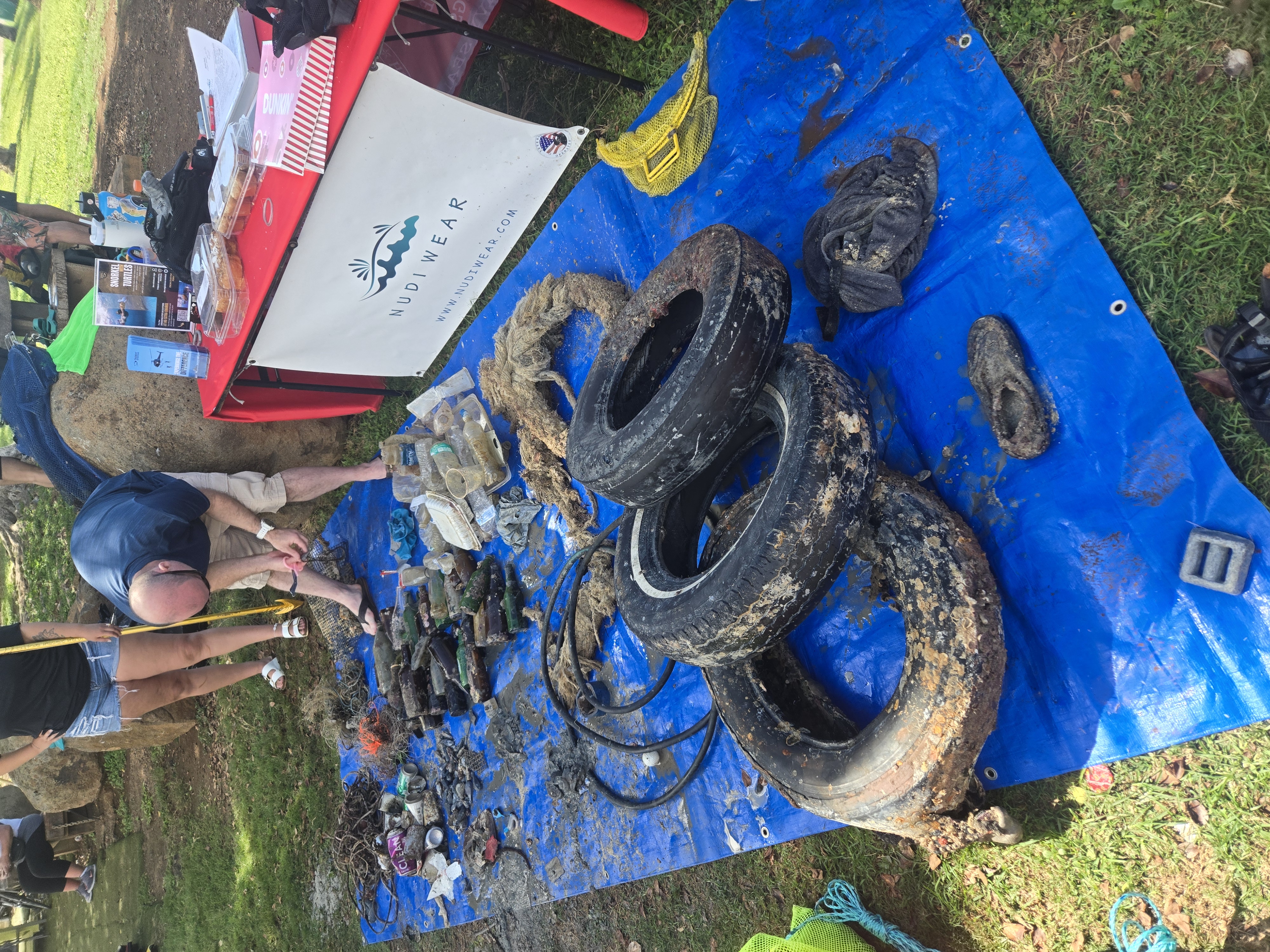
370761 Point Panic

4
56
3
1
11
rock
2
40

21.290744874368, -157.86028698267

Heavy rains
1
1
7
Blue Painters tape roll
water hose
Spark Plugs (Stolen by Jack Fishman)
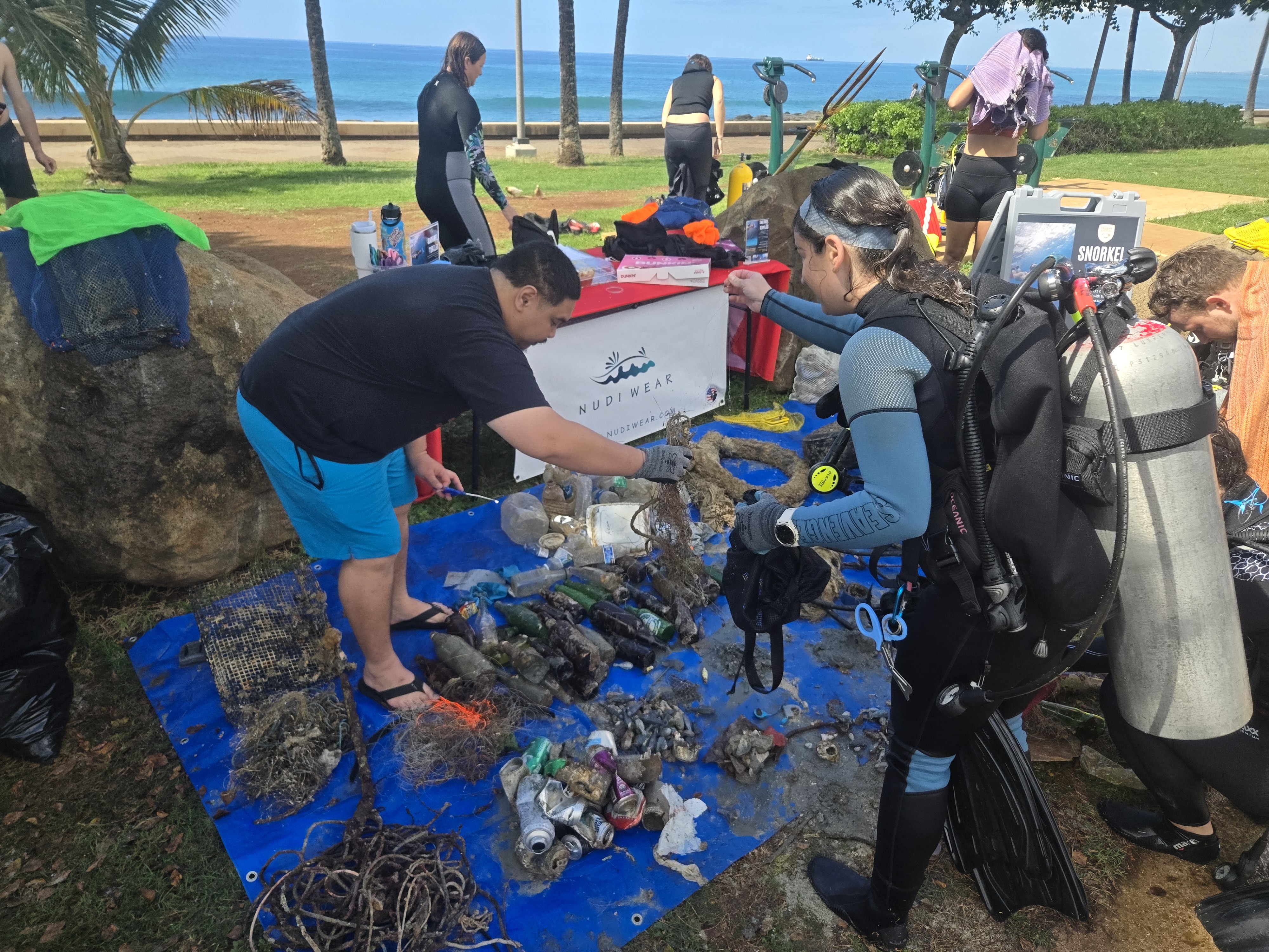
Nudi Wear
Ryan Scalf
1
2
1
3
14
21
1
2
1
1
253.00
50
25.00
4.00
1
measured
1
181
500.00
3
1
On
pounds
I have debris data to report
34
Smooth (wavelets) for waves 0.1 - 0.5 meter high
1
2
m2
1
feet
rocky reef
14
1
1
1
14
1
1
United States
State\Province
HI
City
Honolulu
Map Help


Dive Location

If you know your survey site coordinates, enter them manually in decimal degrees using WGS84 Map Datum. Use the minus sign for latitudes south of the equator and longitudes west of the Prime Meridian to 180 degrees.

If you do not know your survey site coordinates, click the “Map Location” tab to use the map to zoom into your survey site and drop the pin on the map to fall within your survey dive site in the water (not on land or the beach). Ensure you zoom in as much as possible to ensure data accuracy.
Entangled Help


Use the vertical tabs below to record any entangled animals you found of each type.

Blue Planet House Reed

coral
5

-5.6091416392807, 120.44893385742

Calm, some wind, mild to no current
Indo Ocean Project
Courtney Smyth
1
3
1
0.13
70
16.00
4.00
1
measured
400.00
On
kilograms
I have debris data to report
Calm (glassy to rippled) for waves 0 – 0.1 meter high
1
m2
meters
coral reef
Indonesia
State\Province
Bira
City
Bira
Map Help


Dive Location

If you know your survey site coordinates, enter them manually in decimal degrees using WGS84 Map Datum. Use the minus sign for latitudes south of the equator and longitudes west of the Prime Meridian to 180 degrees.

If you do not know your survey site coordinates, click the “Map Location” tab to use the map to zoom into your survey site and drop the pin on the map to fall within your survey dive site in the water (not on land or the beach). Ensure you zoom in as much as possible to ensure data accuracy.

Entangled Help


Use the vertical tabs below to record any entangled animals you found of each type.

Scuba Republic

42

-0.44350884742634, 130.75421187414

sand
Paint can, shoe
Sunny
3
lighter
Indo Ocean Project
Lois
2
23
3
17
5
27
4
2
1
1
3.23
60
20.00
1.00
measured
10000.00
On
kilograms
I have debris data to report
Calm (glassy to rippled) for waves 0 – 0.1 meter high
2
m2
meters
coral reef
1
Indonesia
State\Province
West Papua
City
Waisai
Map Help


Dive Location

If you know your survey site coordinates, enter them manually in decimal degrees using WGS84 Map Datum. Use the minus sign for latitudes south of the equator and longitudes west of the Prime Meridian to 180 degrees.

If you do not know your survey site coordinates, click the “Map Location” tab to use the map to zoom into your survey site and drop the pin on the map to fall within your survey dive site in the water (not on land or the beach). Ensure you zoom in as much as possible to ensure data accuracy.
Entangled Help


Use the vertical tabs below to record any entangled animals you found of each type.

Ben Buckler

0
11
0
0

-33.893631696343, 151.28140387742

0
0
0
sand
0
0
0
0
0
None
Bit of rain
1
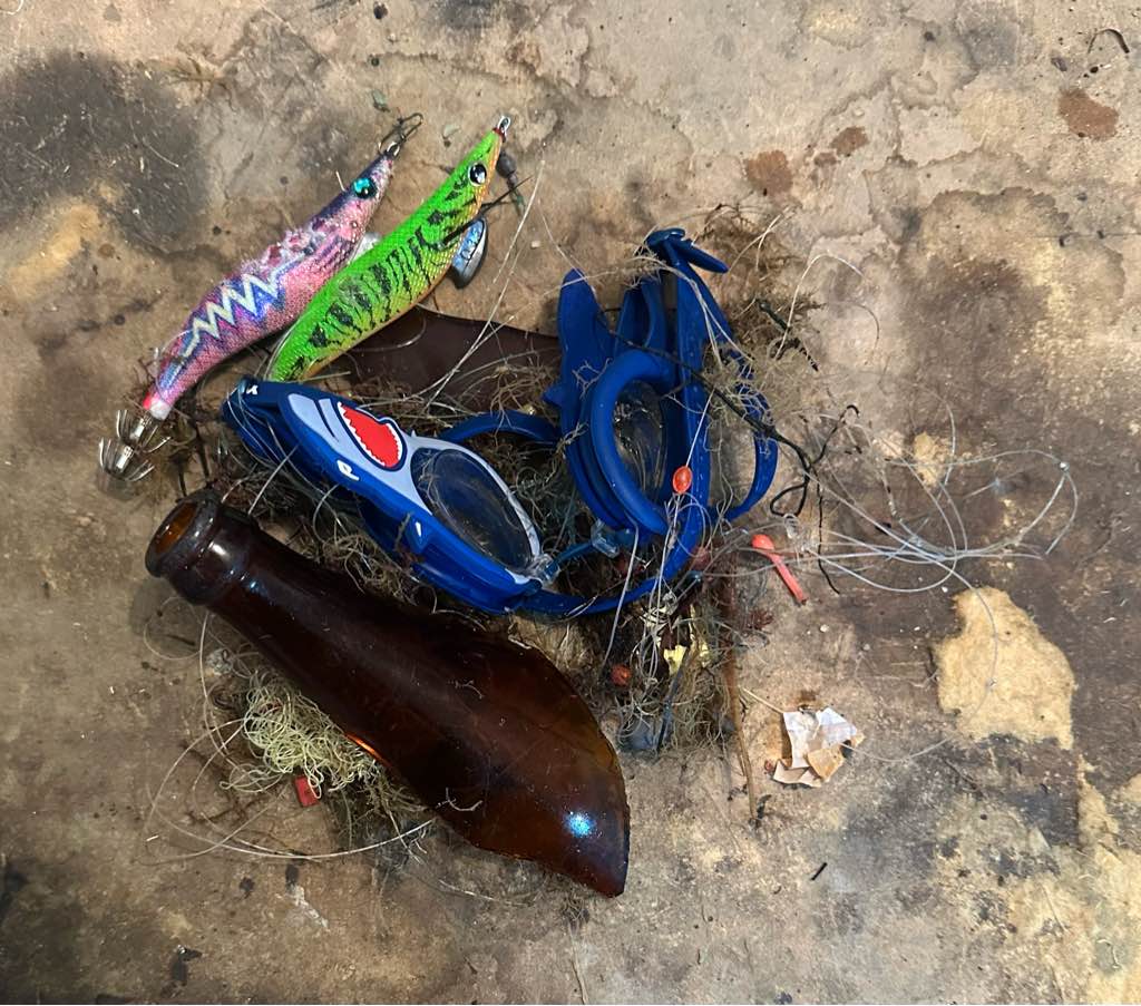
Swimming goggles
Immersia
0
0
0
0
0
0
0
0
0
0
0
0
0
0
0
0
0
0
0
3
0
0
0
0
0
0
0
0
0
0
1
1
0
0
0
0
1.00
35
9.00
2.00
0
estimated
0
0
1000.00
0
0
0
0
0
0
On
kilograms
0
I have debris data to report
0
0
0
Calm (glassy to rippled) for waves 0 – 0.1 meter high
0
0
0
0
1
0
0
m2
0
0
meters
rocky reef
0
0
0
0
0
0
0
0
0
0
0
0
0
0
0
0
0
1
0
0
0
0
0
0
0
0
0
0
0
Australia
State\Province
NSW
City
Sydney
Map Help


Dive Location

If you know your survey site coordinates, enter them manually in decimal degrees using WGS84 Map Datum. Use the minus sign for latitudes south of the equator and longitudes west of the Prime Meridian to 180 degrees.

If you do not know your survey site coordinates, click the “Map Location” tab to use the map to zoom into your survey site and drop the pin on the map to fall within your survey dive site in the water (not on land or the beach). Ensure you zoom in as much as possible to ensure data accuracy.
Entangled Help


Use the vertical tabs below to record any entangled animals you found of each type.

Subscribe to