Miyako island South coast area
rock
Japan
0
24.723333665703, 125.3642206385
Nouth wind and wave hight about 2m
Divind service HEKIKAI
Hiromi Ozaike
3
3.00
45
25.00
11.00
2
estimated
6
100.00
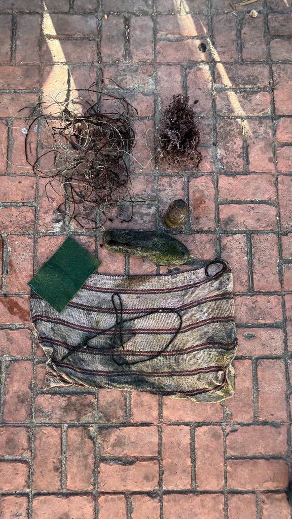
fising traps
On
kilograms
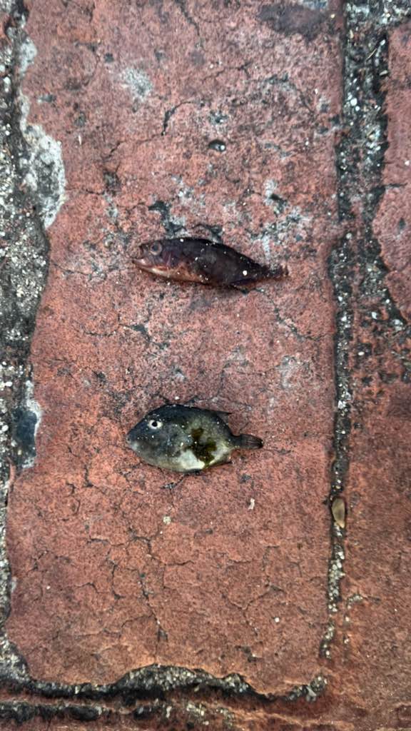
I have debris data to report
Slight for waves 0.5 -1.25 meter high
m2
meters
coral reef
State\Province
Okinawa
City
Miyakojima
Map Help
Dive Location
If you know your survey site coordinates, enter them manually in decimal degrees using WGS84 Map Datum. Use the minus sign for latitudes south of the equator and longitudes west of the Prime Meridian to 180 degrees.
If you do not know your survey site coordinates, click the “Map Location” tab to use the map to zoom into your survey site and drop the pin on the map to fall within your survey dive site in the water (not on land or the beach). Ensure you zoom in as much as possible to ensure data accuracy.
Entangled Help