Menu

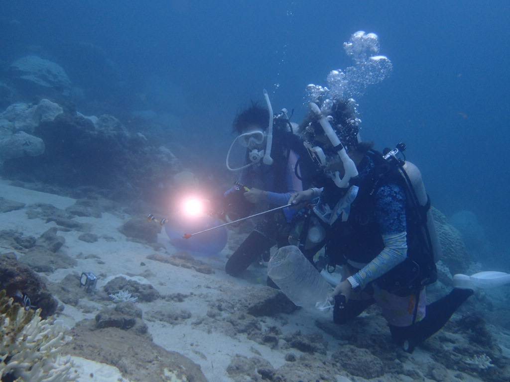
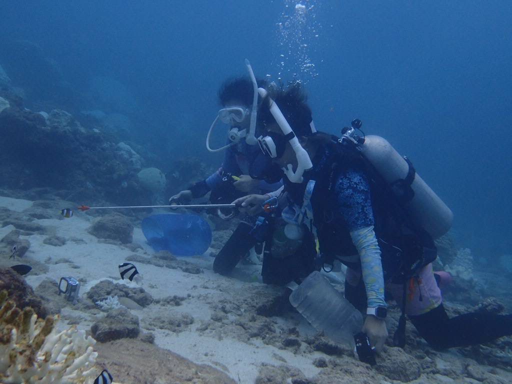
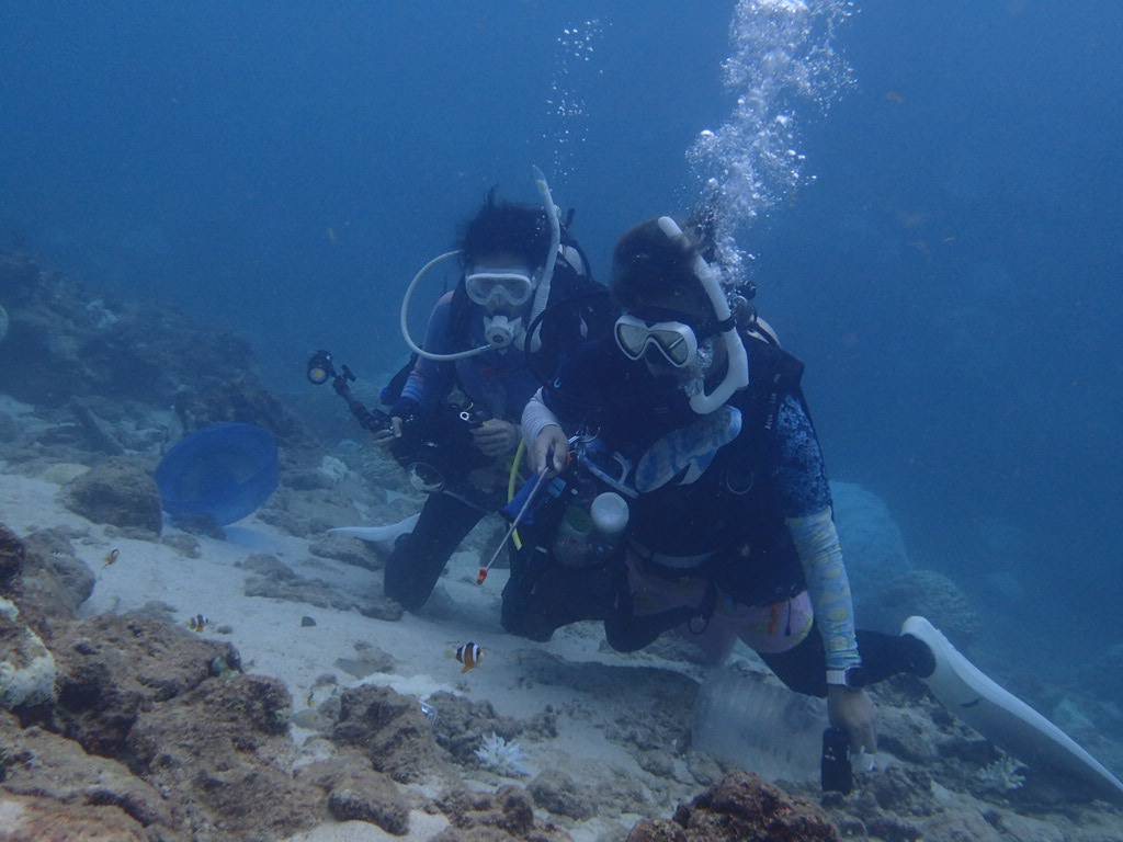
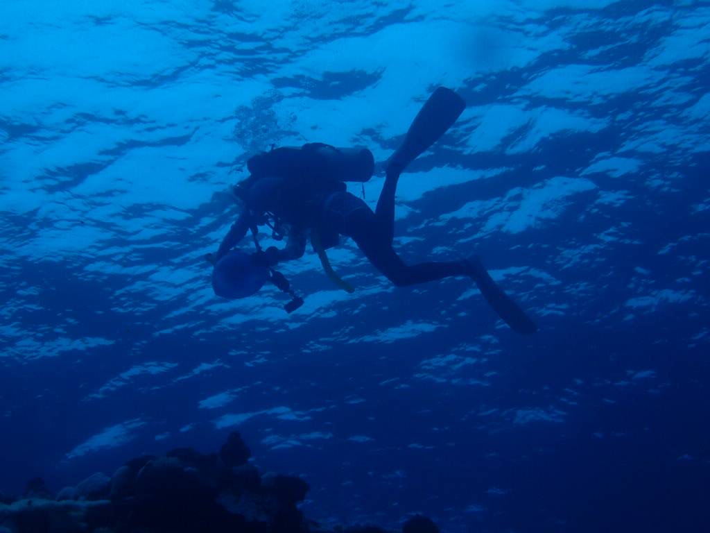
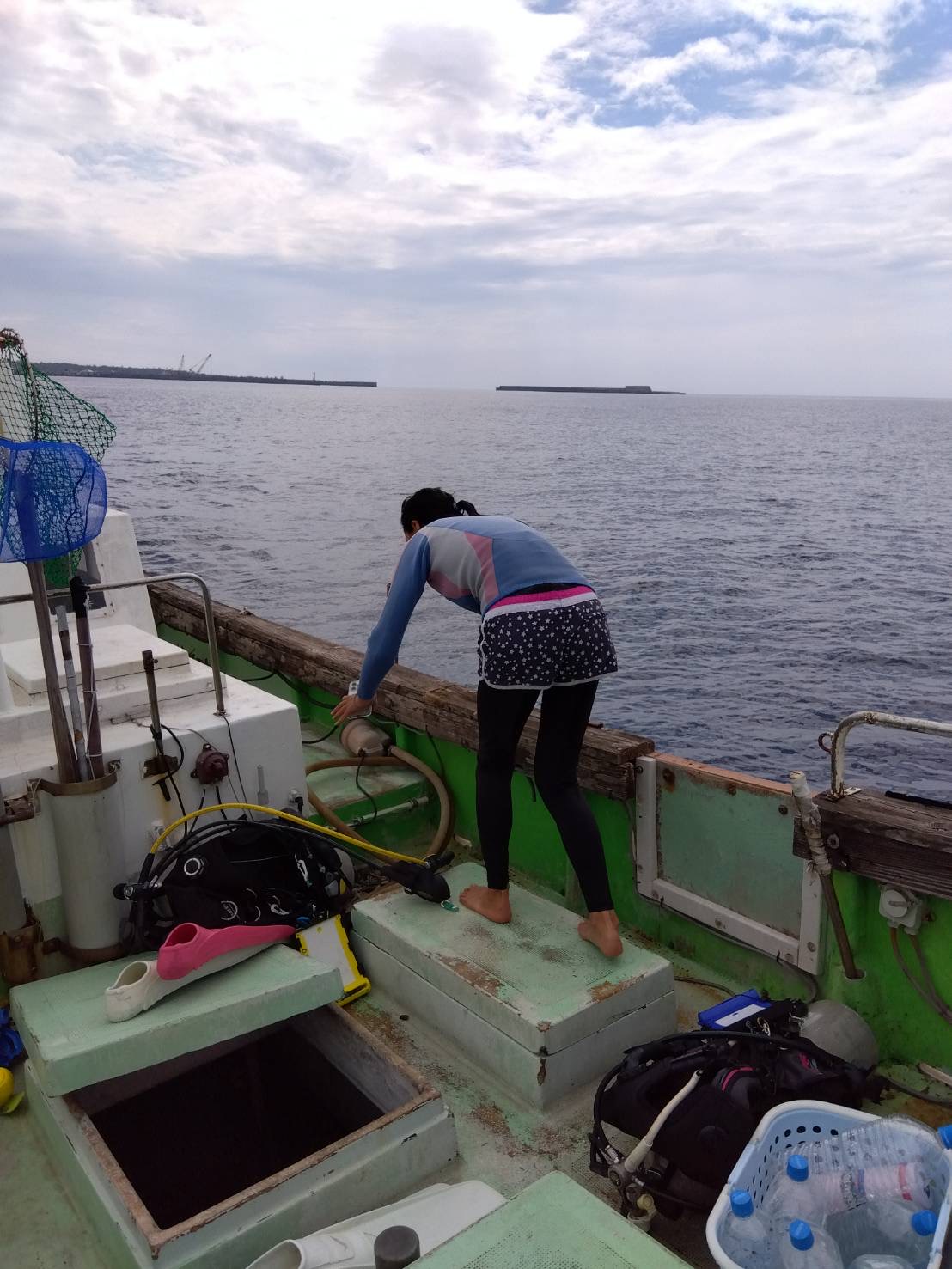
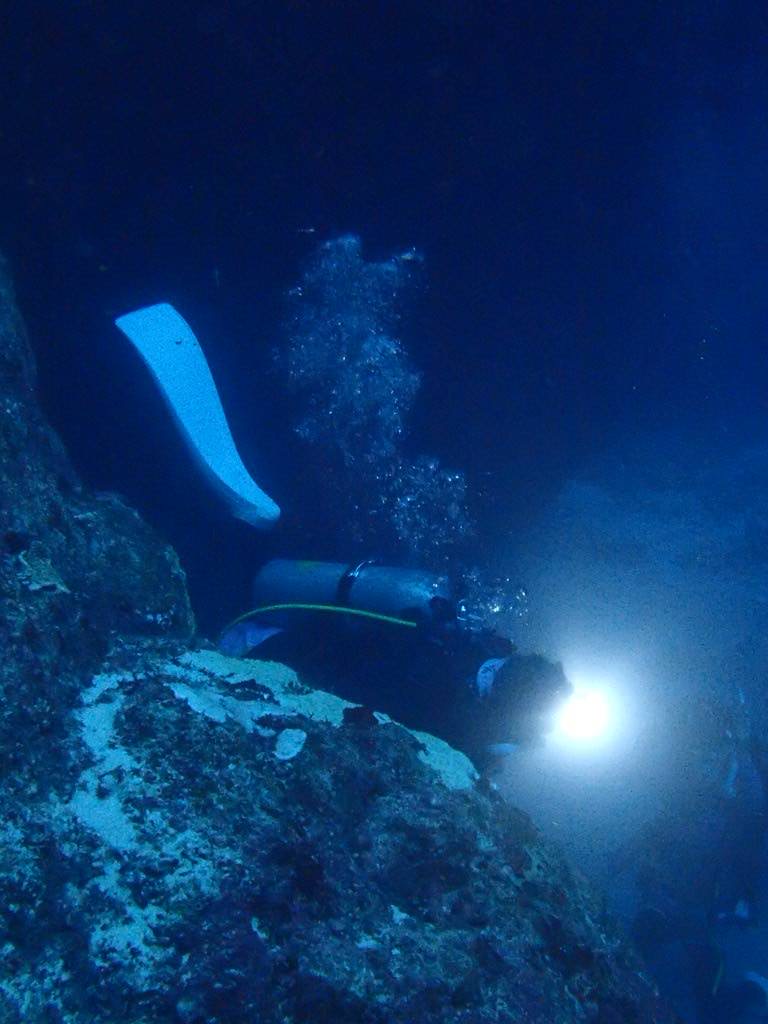
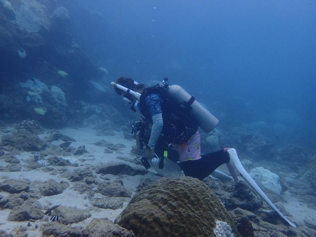
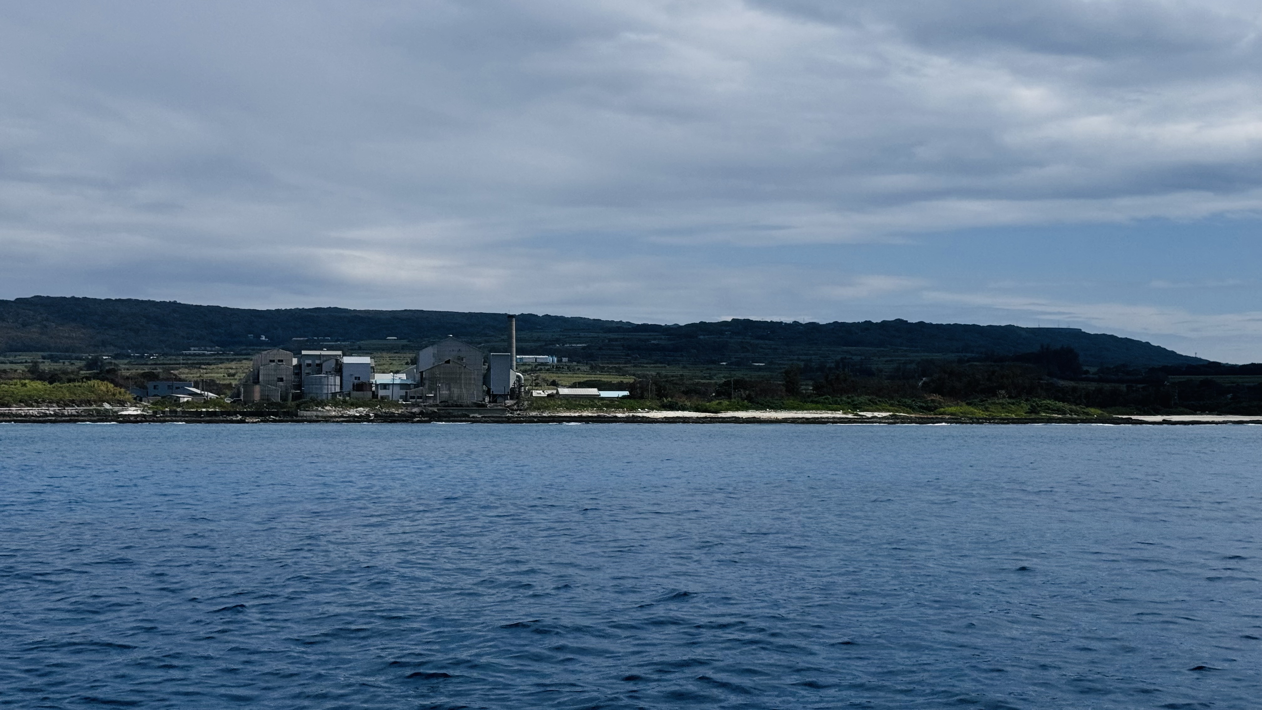
Kikaijima Island, Kagoshima, Japan

28.339799, 129.955039

sand
8

28.339799, 129.955039

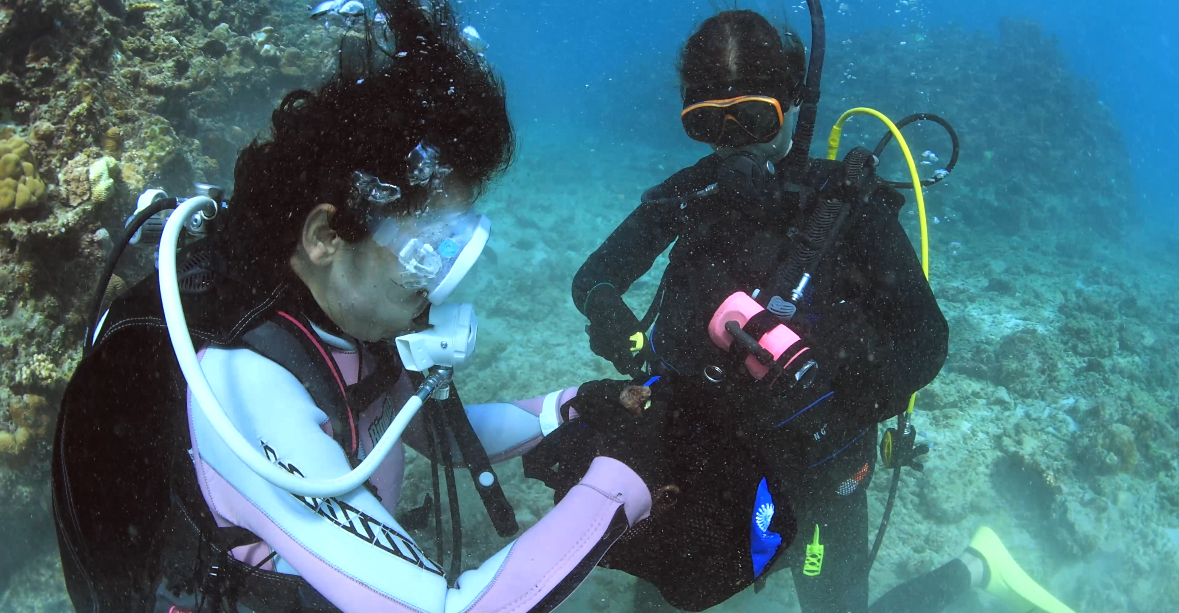
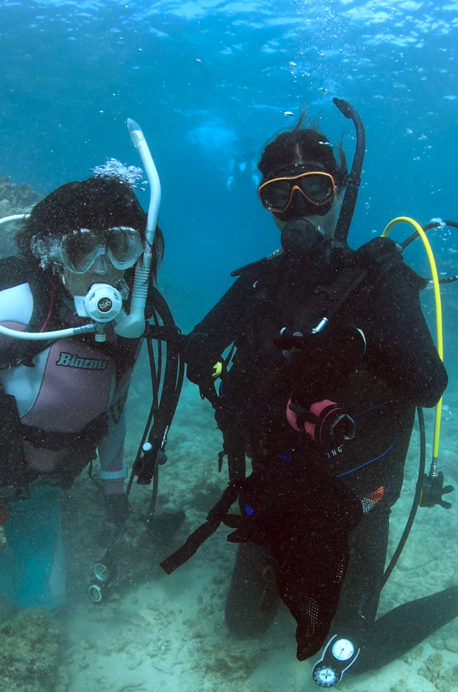
Since this was a minor point on Kikai Island, underwater trash was also left behind.
clear weather
71.132419045percent.INC
Kotaro Horiuchi
3
2
1
2.80
53
15.00
10.00
measured
50.00
On
kilograms
I have debris data to report
Calm (glassy to rippled) for waves 0 – 0.1 meter high m2
meters
coral reef
Japan
State\Province
Tokyo
City
Minatoku
Map Help


Dive Location

If you know your survey site coordinates, enter them manually in decimal degrees using WGS84 Map Datum. Use the minus sign for latitudes south of the equator and longitudes west of the Prime Meridian to 180 degrees.

If you do not know your survey site coordinates, click the “Map Location” tab to use the map to zoom into your survey site and drop the pin on the map to fall within your survey dive site in the water (not on land or the beach). Ensure you zoom in as much as possible to ensure data accuracy.

Entangled Help


Use the vertical tabs below to record any entangled animals you found of each type.

Osaki, Ishigaki Island, Okinawa, Japan

24.424537, 124.074698

coral

24.42601219192, 124.07740116119

There was little marine debris here. I thought divers were picking it up.
71.132419045%
Kotaro Horiushi
1
2
1
4.30
90
15.00
1.00
1
measured
120.00
On
kilograms
I have debris data to report
Calm (glassy to rippled) for waves 0 – 0.1 meter high m2
meters
coral reef
Japan
State\Province
Okinawa
City
Ishigaki
Map Help


Dive Location

If you know your survey site coordinates, enter them manually in decimal degrees using WGS84 Map Datum. Use the minus sign for latitudes south of the equator and longitudes west of the Prime Meridian to 180 degrees.

If you do not know your survey site coordinates, click the “Map Location” tab to use the map to zoom into your survey site and drop the pin on the map to fall within your survey dive site in the water (not on land or the beach). Ensure you zoom in as much as possible to ensure data accuracy.

Entangled Help


Use the vertical tabs below to record any entangled animals you found of each type.

Playa Centro

0
0
0
0

21.255591468794, -86.749655391548

0
0
0
seagrass
0
0
0
0
0
Close to a dock, passengers lose stuff
None
Variable
Pocna dive Center
Manlio Leggio
0
0
0
0
0
0
0
0
0
0
0
0
0
0
0
0
0
0
0
4
0
0
0
0
0
0
0
0
0
0
0
0
0
0
0
0
0.20
20
5.00
3.00
0
estimated
0
0
281.35
0
0
0
0
0
0
On
kilograms
0
I have debris data to report
0
0
0
Smooth (wavelets) for waves 0.1 - 0.5 meter high
0
0
0
0
1
0
0
m2
0
0
meters
seagrass
0
0
0
0
0
0
0
0
0
0
0
0
0
0
0
0
0
0
0
0
0
0
0
0
0
0
0
0
0
Mexico
State\Province
Quintana roo
City
Isla Mujeres
Map Help


Dive Location

If you know your survey site coordinates, enter them manually in decimal degrees using WGS84 Map Datum. Use the minus sign for latitudes south of the equator and longitudes west of the Prime Meridian to 180 degrees.

If you do not know your survey site coordinates, click the “Map Location” tab to use the map to zoom into your survey site and drop the pin on the map to fall within your survey dive site in the water (not on land or the beach). Ensure you zoom in as much as possible to ensure data accuracy.

Entangled Help


Use the vertical tabs below to record any entangled animals you found of each type.

Jardines Profundo

rock

15.716899463295, -96.162701327069

Normal
Huatulco Dive Center
David-Alexandre Gassin
2
0.00
41
19.00
12.00
estimated
486.00
On
kilograms
Our Survey Site was free of debris
Moderate to rough for waves greater than 1.25 meters m2
meters
rocky reef
Mexico
State\Province
Oaxaca
City
Bahias de Huatulco
Map Help


Dive Location

If you know your survey site coordinates, enter them manually in decimal degrees using WGS84 Map Datum. Use the minus sign for latitudes south of the equator and longitudes west of the Prime Meridian to 180 degrees.

If you do not know your survey site coordinates, click the “Map Location” tab to use the map to zoom into your survey site and drop the pin on the map to fall within your survey dive site in the water (not on land or the beach). Ensure you zoom in as much as possible to ensure data accuracy.

Entangled Help


Use the vertical tabs below to record any entangled animals you found of each type.

Naifaru House Reef

14
182
0
0

5.4394515472159, 73.364256894263

0
6
0
sand
0
26
0
7
0
VCR tape
Calm
25
52
1
Cement bags
Cement bag fragments
Massive netting
Aqua Dive
Elizabeth MacLeod
3
1
1
0
0
0
0
0
0
0
0
0
3
2
1
0
0
0
26
5
0
0
1
0
5
0
19
0
0
14
0
0
0
0
0
0
38.30
42
17.00
15.00
14
measured
0
2
529.66
0
0
0
0
0
Cement bags
Fishing line
Plastic fragments
0
On
kilograms
0
I have debris data to report
0
0
0
Calm (glassy to rippled) for waves 0 – 0.1 meter high
1
0
0
0
49
2
0
m2
2
8
meters
coral reef
0
0
0
0
0
0
0
0
0
6
1
0
0
23
0
0
0
12
0
0
0
0
0
0
0
0
0
0
0
Maldives
City
Naifaru
Map Help


Dive Location

If you know your survey site coordinates, enter them manually in decimal degrees using WGS84 Map Datum. Use the minus sign for latitudes south of the equator and longitudes west of the Prime Meridian to 180 degrees.

If you do not know your survey site coordinates, click the “Map Location” tab to use the map to zoom into your survey site and drop the pin on the map to fall within your survey dive site in the water (not on land or the beach). Ensure you zoom in as much as possible to ensure data accuracy.

Entangled Help


Use the vertical tabs below to record any entangled animals you found of each type.

Small Wall

gravel
5

-5.835976059747, 39.402769842229

Windy
Scubafish Dive Center
Ludovic
2
2.00
50
18.00
12.00
2
estimated
295.00
On
kilograms
I have debris data to report
Moderate to rough for waves greater than 1.25 meters m2
meters
rocky reef
Tanzania
State\Province
Zanzibar
City
Matemwe
Map Help


Dive Location

If you know your survey site coordinates, enter them manually in decimal degrees using WGS84 Map Datum. Use the minus sign for latitudes south of the equator and longitudes west of the Prime Meridian to 180 degrees.

If you do not know your survey site coordinates, click the “Map Location” tab to use the map to zoom into your survey site and drop the pin on the map to fall within your survey dive site in the water (not on land or the beach). Ensure you zoom in as much as possible to ensure data accuracy.

Entangled Help


Use the vertical tabs below to record any entangled animals you found of each type.

Tao Tong

1
2
coral
10

10.068034847953, 99.816239028181

Sunny, Occasional Rain
The Coral Tribe
Jenny Dowling
2
0.14
47
10.00
7.00
measured
200.00
Fishing Line
Hair Ties
3
On
kilograms
I have debris data to report
Calm (glassy to rippled) for waves 0 – 0.1 meter high m2
4
meters
coral reef
2
Thailand
State\Province
Surat Thani
City
Koh Tao
Map Help


Dive Location

If you know your survey site coordinates, enter them manually in decimal degrees using WGS84 Map Datum. Use the minus sign for latitudes south of the equator and longitudes west of the Prime Meridian to 180 degrees.

If you do not know your survey site coordinates, click the “Map Location” tab to use the map to zoom into your survey site and drop the pin on the map to fall within your survey dive site in the water (not on land or the beach). Ensure you zoom in as much as possible to ensure data accuracy.

Entangled Help


Use the vertical tabs below to record any entangled animals you found of each type.

Buddha Point

1
1
1
coral
11

10.061303102361, 99.825931708992

Battery
Sunny, occasional rain
The Coral Tribe
Jenny Dowling
1
1
1
7
4
0.86
54
11.00
6.00
6
measured
300.00
fishing line
strapping bands
rope
On
kilograms
I have debris data to report
Calm (glassy to rippled) for waves 0 – 0.1 meter high
1
m2
meters
coral reef
3
1
1
4
1
1
1
Thailand
State\Province
Surat Thani
City
Koa Tao
Map Help


Dive Location

If you know your survey site coordinates, enter them manually in decimal degrees using WGS84 Map Datum. Use the minus sign for latitudes south of the equator and longitudes west of the Prime Meridian to 180 degrees.

If you do not know your survey site coordinates, click the “Map Location” tab to use the map to zoom into your survey site and drop the pin on the map to fall within your survey dive site in the water (not on land or the beach). Ensure you zoom in as much as possible to ensure data accuracy.

Entangled Help


Use the vertical tabs below to record any entangled animals you found of each type.

Cala Port Adriano

18

39.4862357, 2.4762429

1
rock
1
14
Wac candle
Storm
1
wax candle
Norwaydive
Andre Foeleide
1
1
1
3
13
1
3
1
1
17.00
50
16.00
50.00
estimated
13
15000.00
3
Beeverage cans
Fishing equipment
On
kilograms
I have debris data to report
Calm (glassy to rippled) for waves 0 – 0.1 meter high
3
4
2
m2
1
meters
rocky reef
6
2
4
9
1
2
Spain
State\Province
Baleares
City
Palmanova
Map Help


Dive Location

If you know your survey site coordinates, enter them manually in decimal degrees using WGS84 Map Datum. Use the minus sign for latitudes south of the equator and longitudes west of the Prime Meridian to 180 degrees.

If you do not know your survey site coordinates, click the “Map Location” tab to use the map to zoom into your survey site and drop the pin on the map to fall within your survey dive site in the water (not on land or the beach). Ensure you zoom in as much as possible to ensure data accuracy.

Entangled Help


Use the vertical tabs below to record any entangled animals you found of each type.

Caletita

2
16
0
8

20.494888252786, -86.964184936554

1
0
0
sand
0
1
0
0
0
Change in winds
Spark plugs
Windy
4
Coins
Cozumel Dive School
Kaja
0
1
0
2
0
0
0
0
0
0
0
0
0
2
0
0
0
4
3
10
0
0
0
0
0
0
2
0
0
1
0
0
0
0
0
0
4.60
65
7.90
2.10
0
estimated
0
10
11198.90
0
0
0
4
0
Fishing line
Hooks
Fragments of boat
0
On
kilograms
0
I have debris data to report
2
0
0
Smooth (wavelets) for waves 0.1 - 0.5 meter high
0
0
0
0
1
1
0
m2
0
0
meters
seagrass
0
0
0
0
0
2
3
2
0
0
0
0
0
0
0
1
0
3
0
0
0
0
3
0
0
0
0
0
0
Mexico
City
Cozumel
Map Help


Dive Location

If you know your survey site coordinates, enter them manually in decimal degrees using WGS84 Map Datum. Use the minus sign for latitudes south of the equator and longitudes west of the Prime Meridian to 180 degrees.

If you do not know your survey site coordinates, click the “Map Location” tab to use the map to zoom into your survey site and drop the pin on the map to fall within your survey dive site in the water (not on land or the beach). Ensure you zoom in as much as possible to ensure data accuracy.

Entangled Help


Use the vertical tabs below to record any entangled animals you found of each type.

Subscribe to