
Dive Against Debris Data Submission
Chesil Cove
15 June, 2020
- Team Leader
- Pat Packer
- Number of Participants
- 3
- Total Debris Collected
- 0.1 kgs (estimated)
50.558499636692, -2.4485095119938
Survey Information
- Location Name
- Chesil Cove
- Organization/Dive Centre
- Personal
- City
- Portland
- Country
- United Kingdom
- Date
- 15 June, 2020
- Survey Duration
- 40 Minutes
- GPS Coordinates
- Latitude: 50.558499636692
Longitude: -2.4485095119938
- Weather Conditions
- Survey Depth Range
- 5–16 meters
- Area Surveyed
- 7373.29 m2
- Dominant Substrate
- rock
- Ecosystem
- other
- Wave Conditions
- Smooth (wavelets) for waves 0.1 - 0.5 meter high
Survey Photos
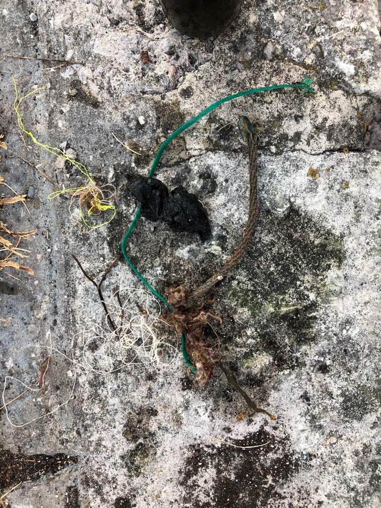
Debris Items Collected
| cloth materials collected | |
|---|---|
| Rope And String (cloth) | 4 |


