
Dive Against Debris Data Submission
Eel Canyon
22 December, 2020
- Team Leader
- Mohammed Leddawi
- Number of Participants
- 7
- Total Debris Collected
- 8 kgs (measured)
29.416504, 34.973784
Survey Information
- Location Name
- Eel Canyon
- Organization/Dive Centre
- Deep Blue Dive Center
- City
- Aqaba
- Country
- Jordan
- Date
- 22 December, 2020
- Survey Duration
- 45 Minutes
- GPS Coordinates
- Latitude: 29.416504
Longitude: 34.973784
- Weather Conditions
-
Winds about 7-8 mph, sunny
- Survey Depth Range
- 12–20 meters
- Area Surveyed
- 60 m2
- Dominant Substrate
- sand
- Ecosystem
- coral reef
- Wave Conditions
- Calm (glassy to rippled) for waves 0 – 0.1 meter high
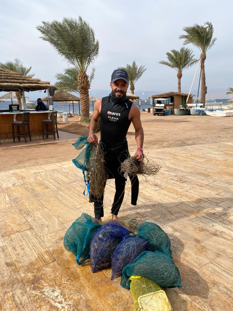
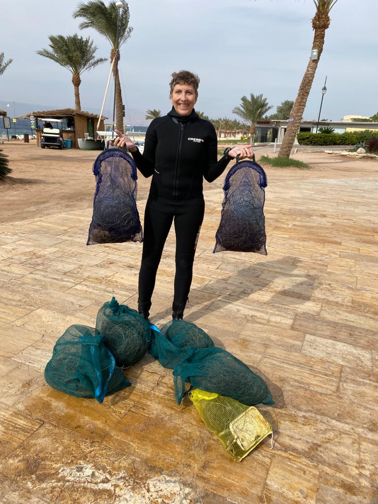
Survey Photos
Debris Items Collected
Additional Information
Illegal fishing done in this area for many years. We are just now focusing on removing the fishing lines.
fishing line
plastic bottles
aluminum cans
Comments and Feedback
How are we supposed to count the fishing line? You ask for pieces but the whole dive site we are focusing on is covered in line. There are thousands of lines hung up on coral and in the grass. Some line is very short as it is old and falling apart, some long pieces are tangled in many square meters of coral and we need to cut it up to remove carefully. For example, we collected a total of 8 kilos of fishing line but there were hundreds of pieces. We don't have the time to count every single piece. It would take hours and hours.


