
Dive Against Debris Data Submission
Qarouh island
16 August, 2019
- Team Leader
- yahya aljadi
- Number of Participants
- 4
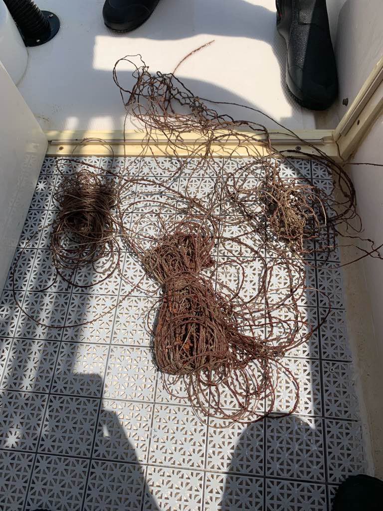
- Total Debris Collected
- 0 kgs (estimated)
28.816965, 48.77518
Survey Information
- Location Name
- Qarouh island
- Organization/Dive Centre
- nautilus diving kuwait
- City
- kuwait
- Country
- Kuwait
- Date
- 16 August, 2019
- Survey Duration
- 65 Minutes
- GPS Coordinates
- Latitude: 28.816965
Longitude: 48.77518
- Weather Conditions
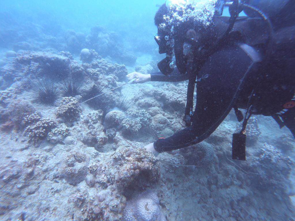
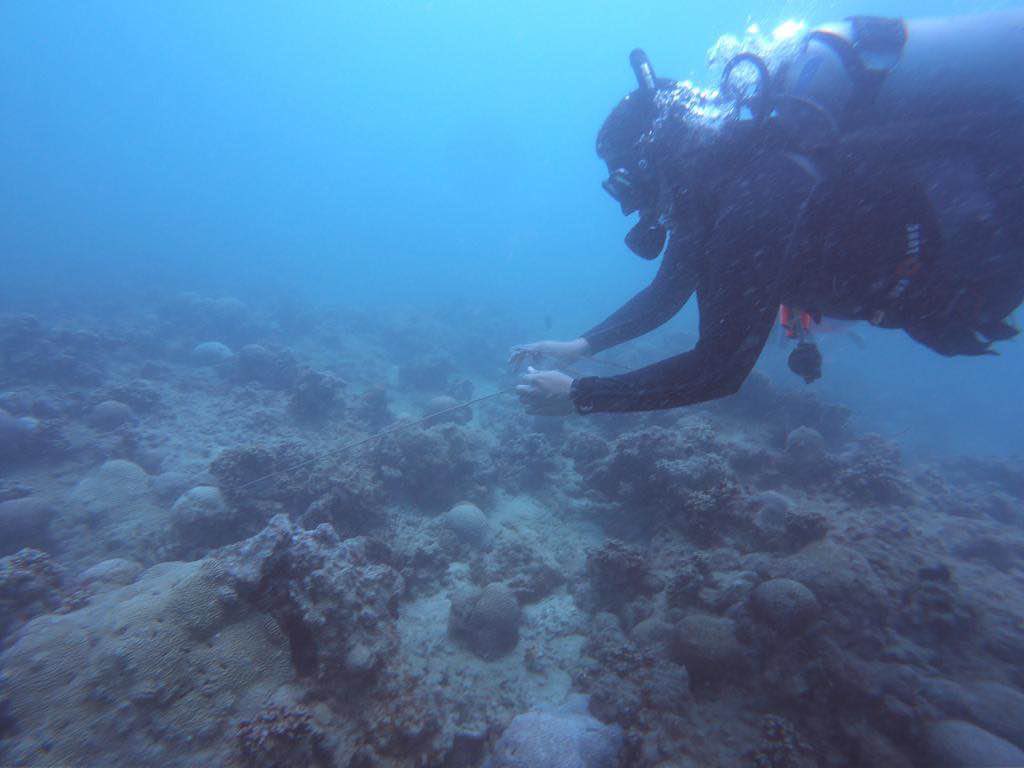
- Survey Depth Range
- 8–19.1 meters
- Area Surveyed
- 8837.68 m2
- Dominant Substrate
- coral
- Ecosystem
- coral reef
- Wave Conditions
- Moderate to rough for waves greater than 1.25 meters
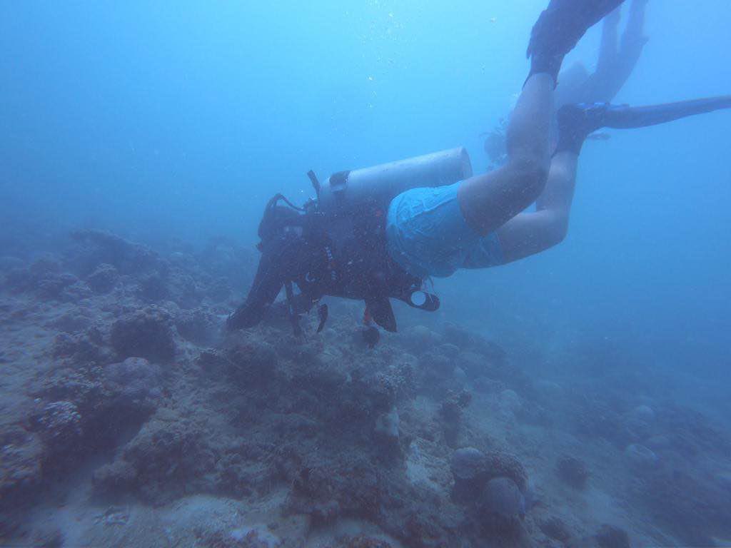
Survey Photos
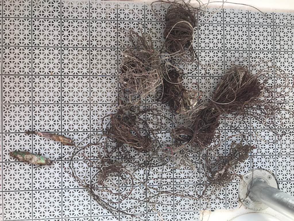
Debris Items Collected
Additional Information
i think the fisherman
rope and things for fishing


