Day.23 Jeju Island
33.227635, 126.565871
7
1
rock
14
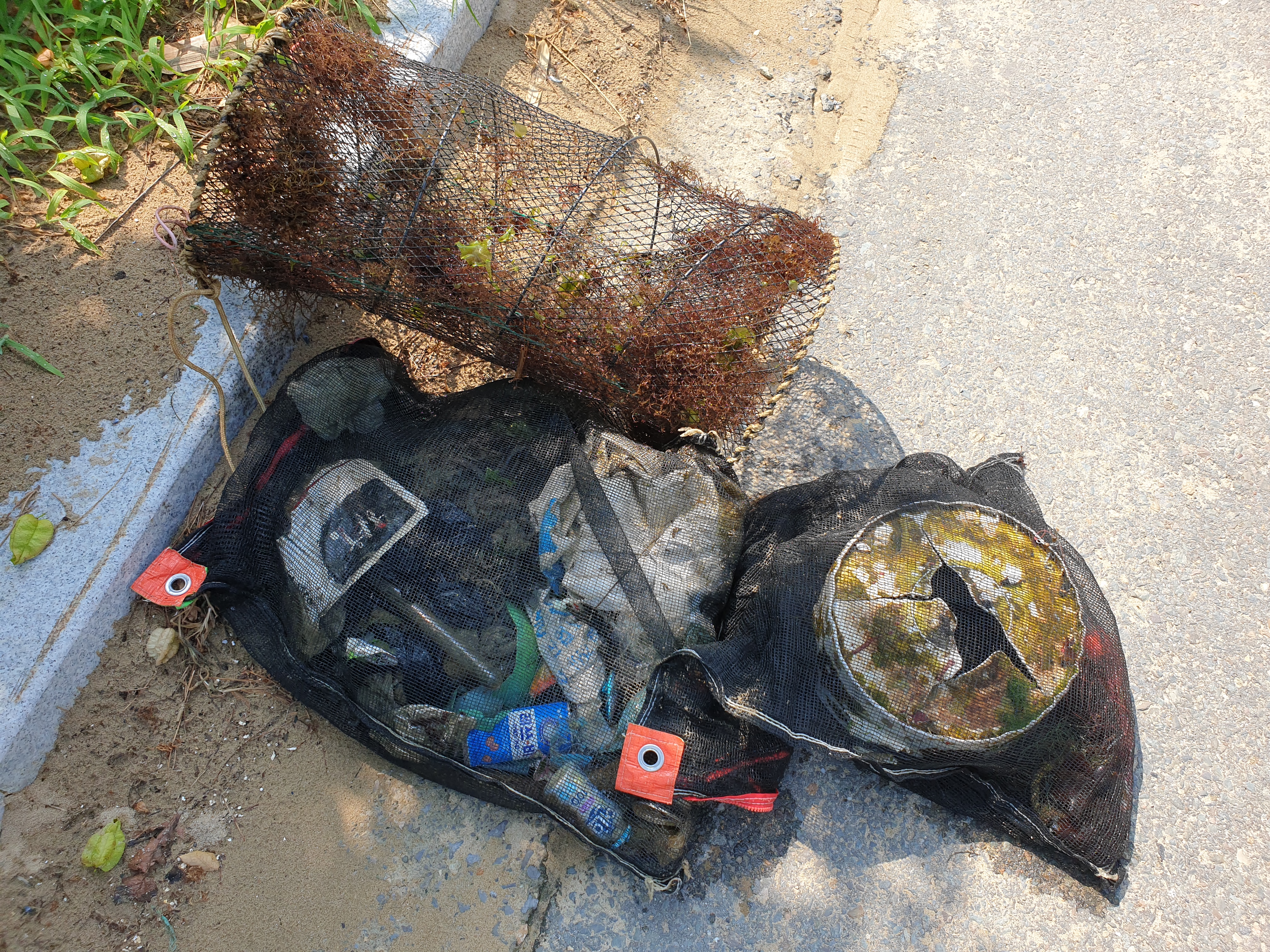
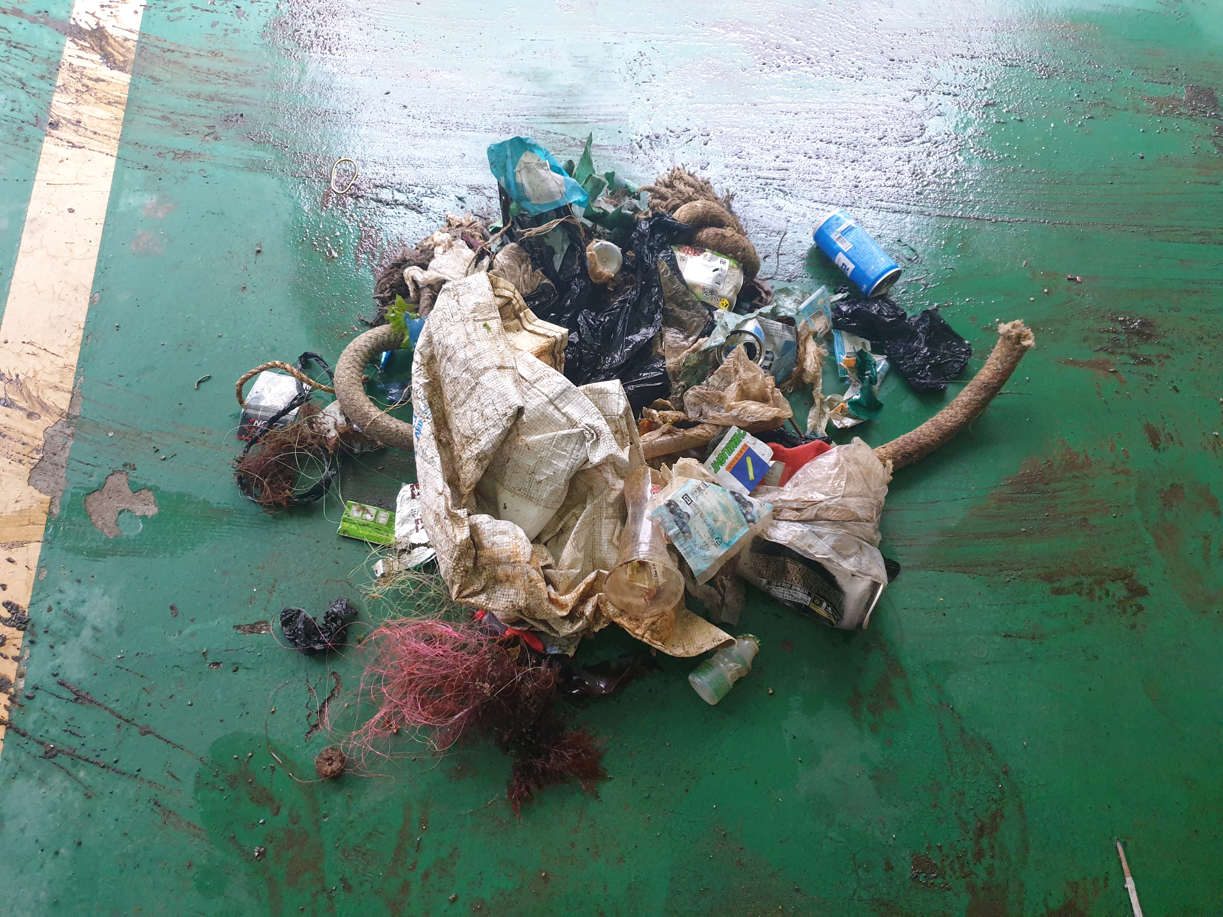
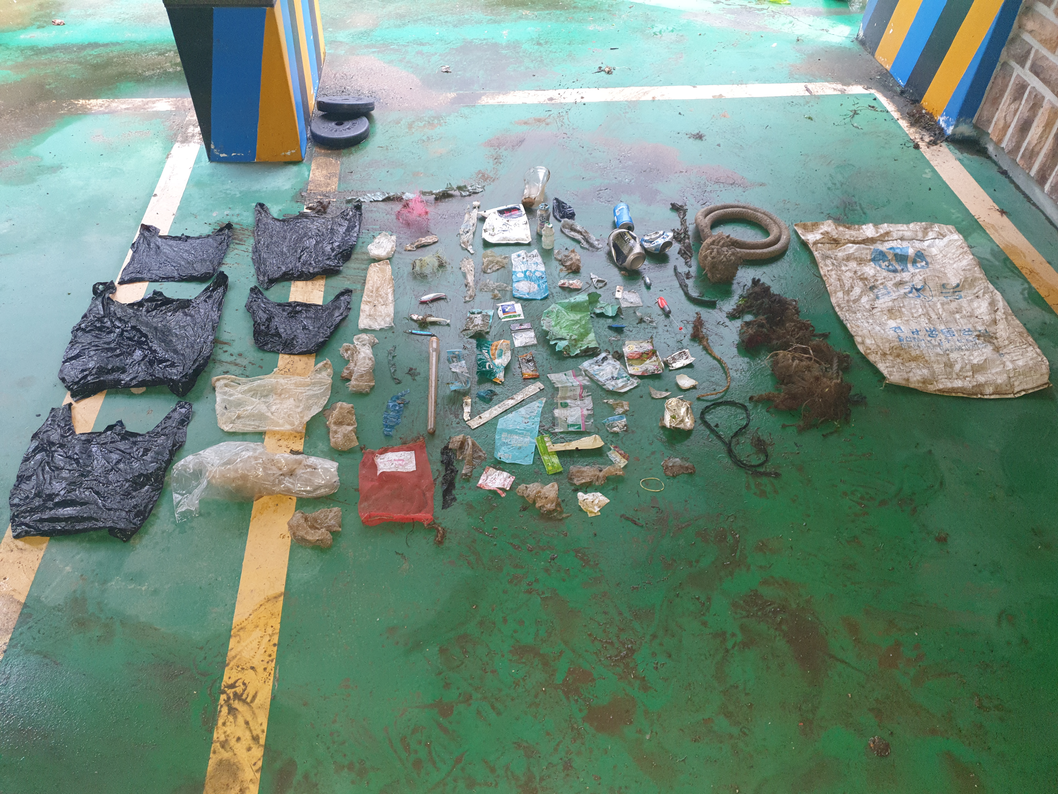
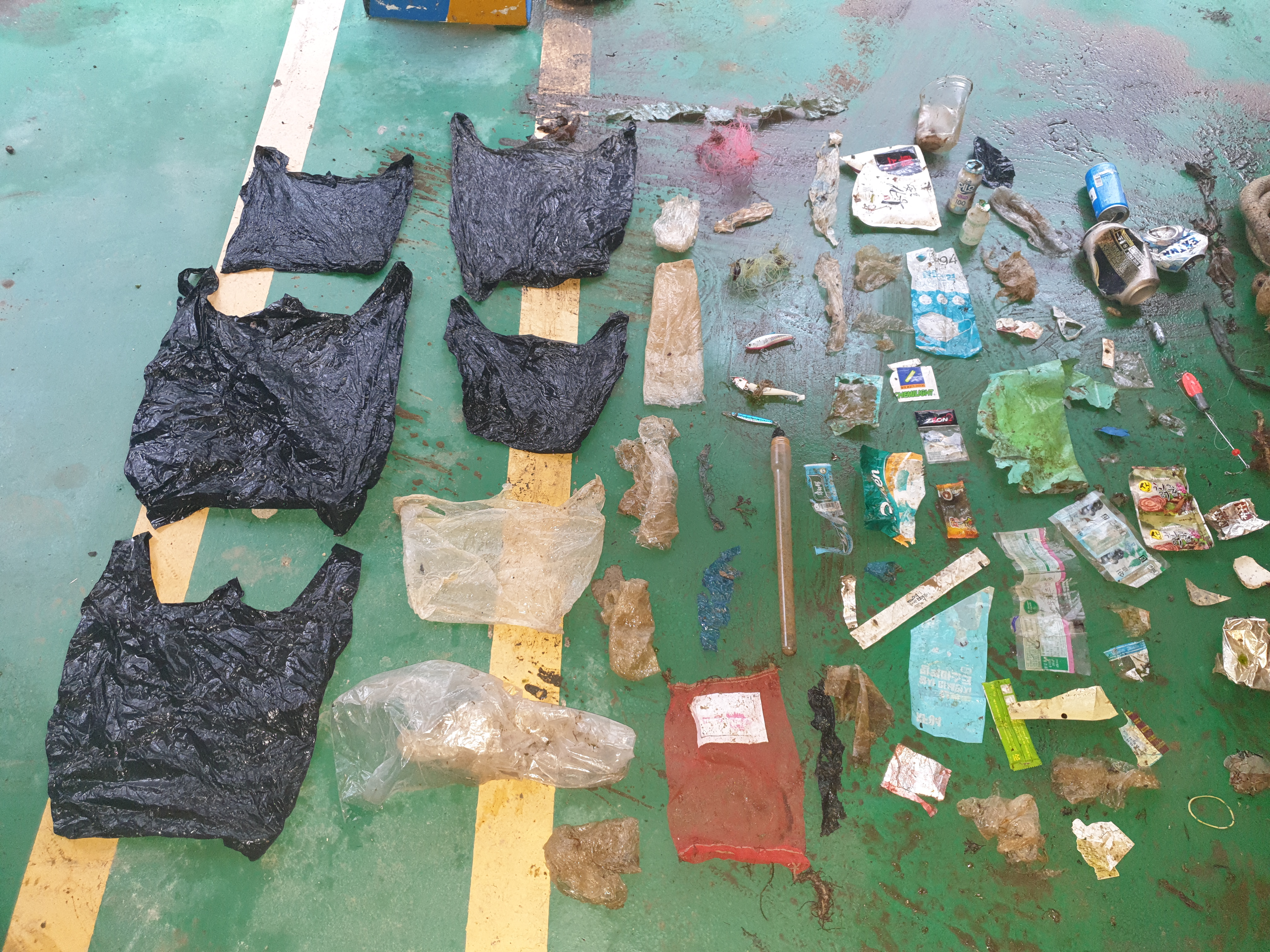
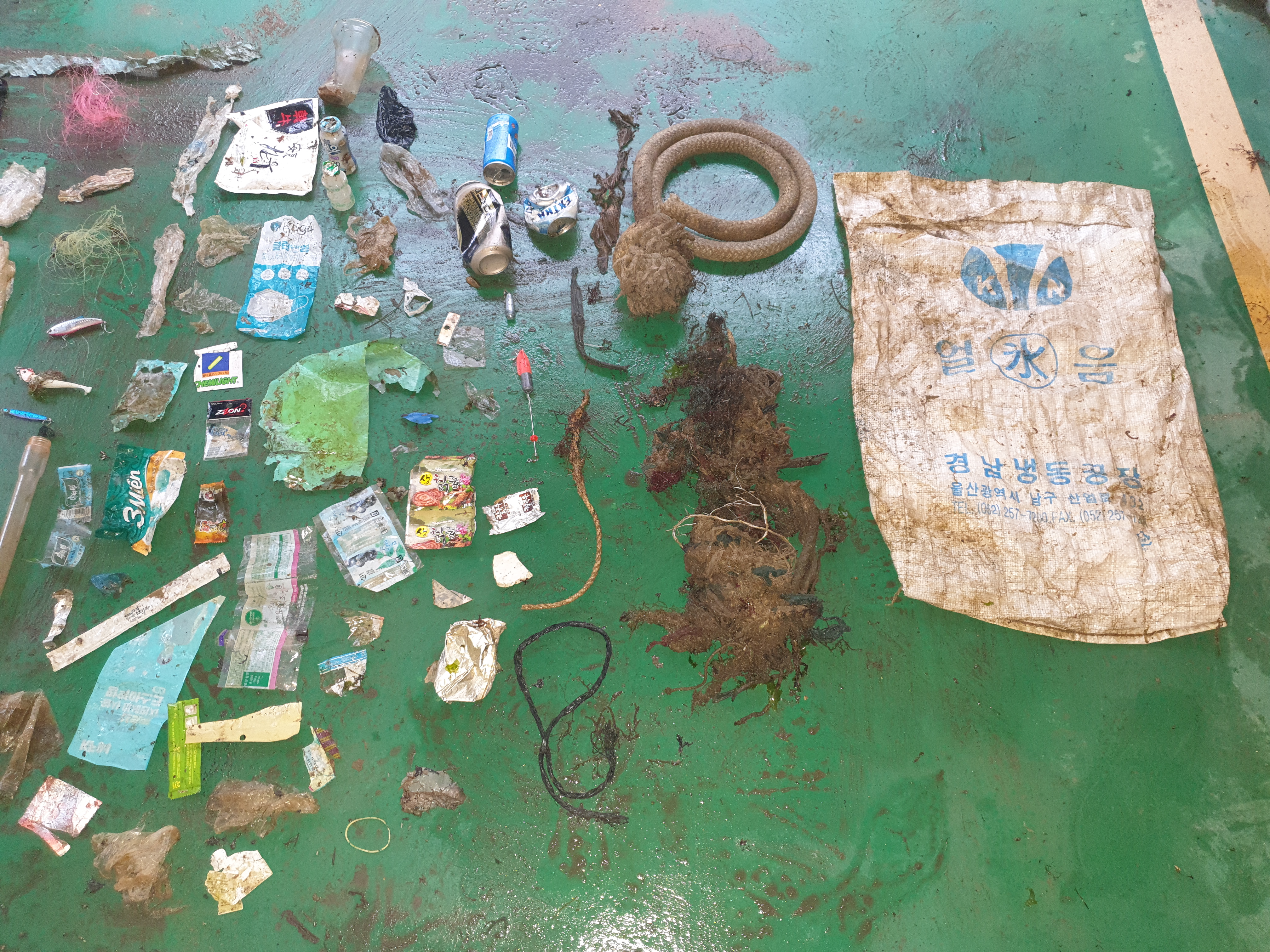
There is a problem that there are too many coffee bags, and there is a problem that the fishing bait comes out a lot even though it is the third day of underwater clean up.
There is a problem that there are too many coffee bags, and there is a problem that the fishing bait comes out a lot even though it is the third day of underwater clean up.
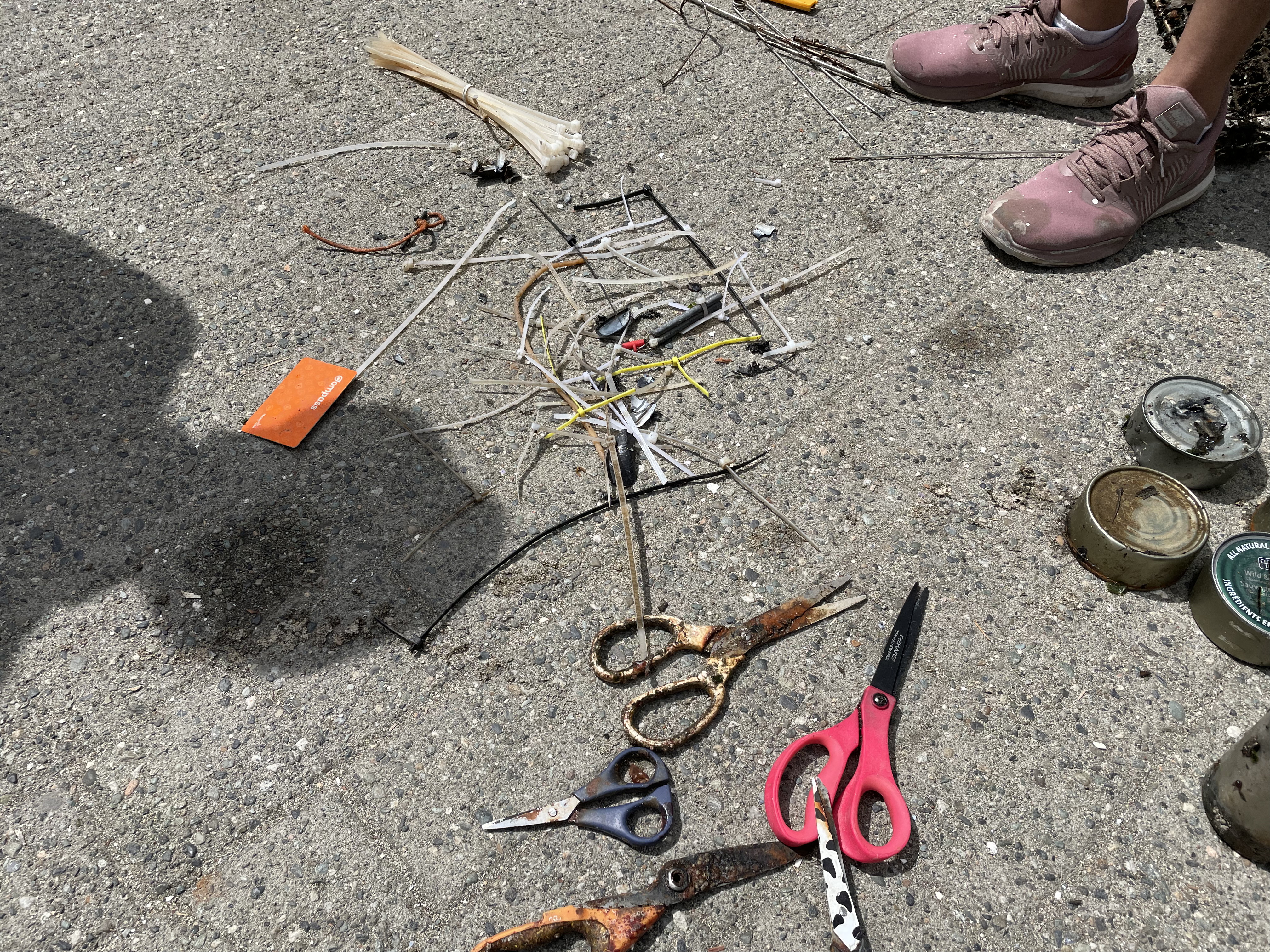
Fishing lures
Rainny
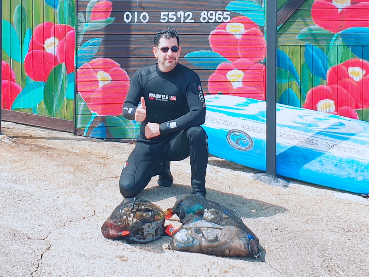
Time Space Dive
Hyugseok Kim
1
6
1
10.00
50
8.00
3.00
estimated
2
5259.84
Fishing lures
Bags-grocery/retail (plastic)
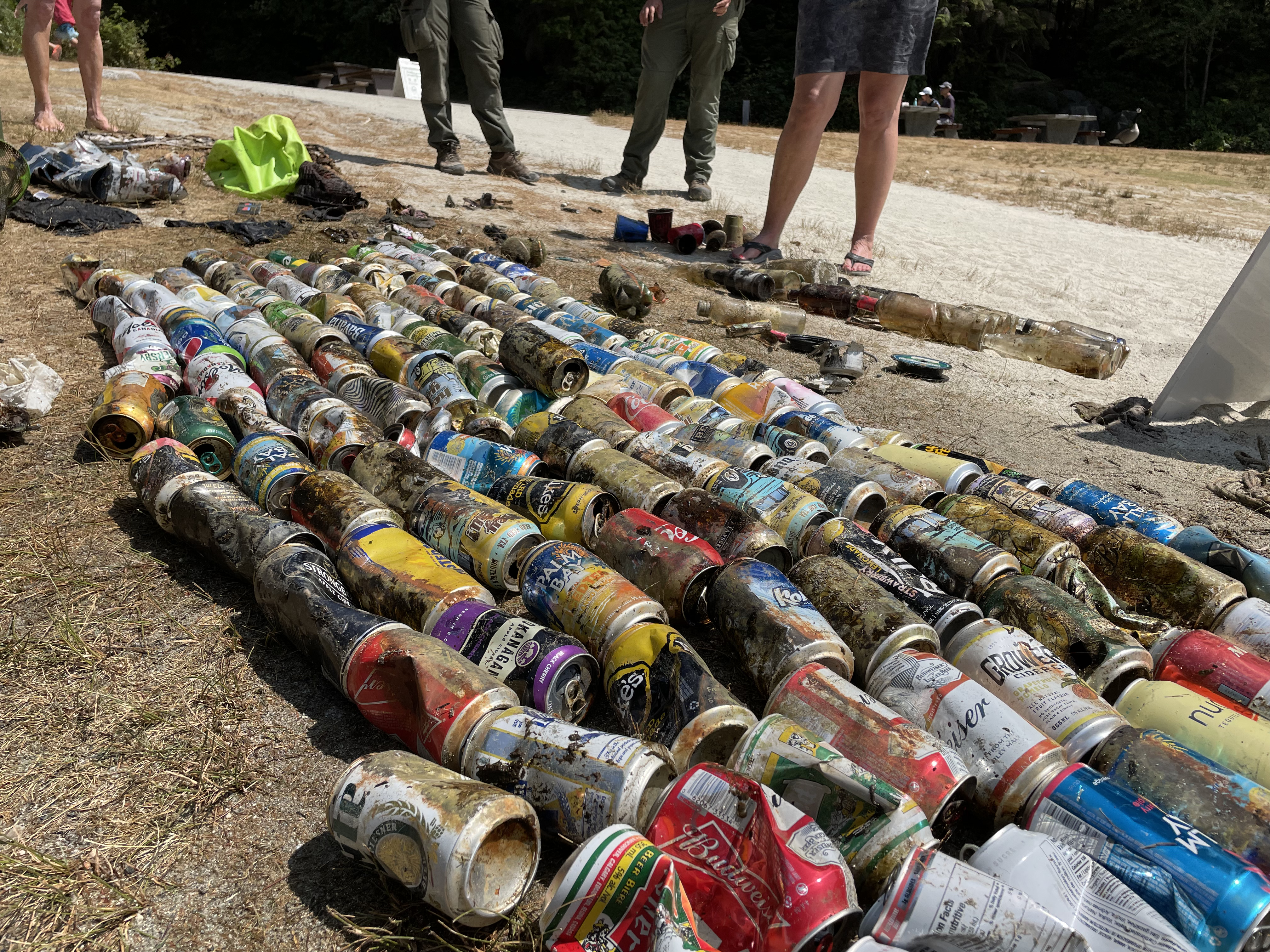
Cans
On
kilograms
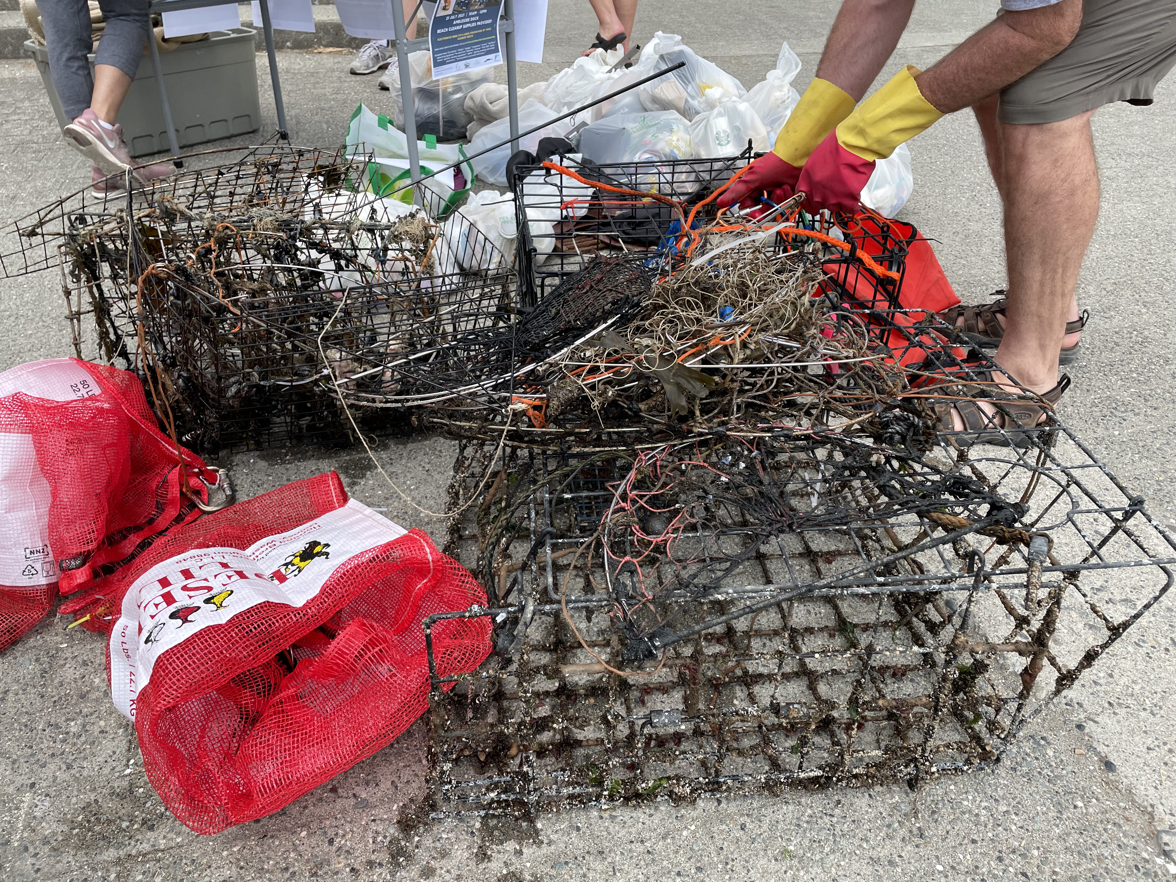
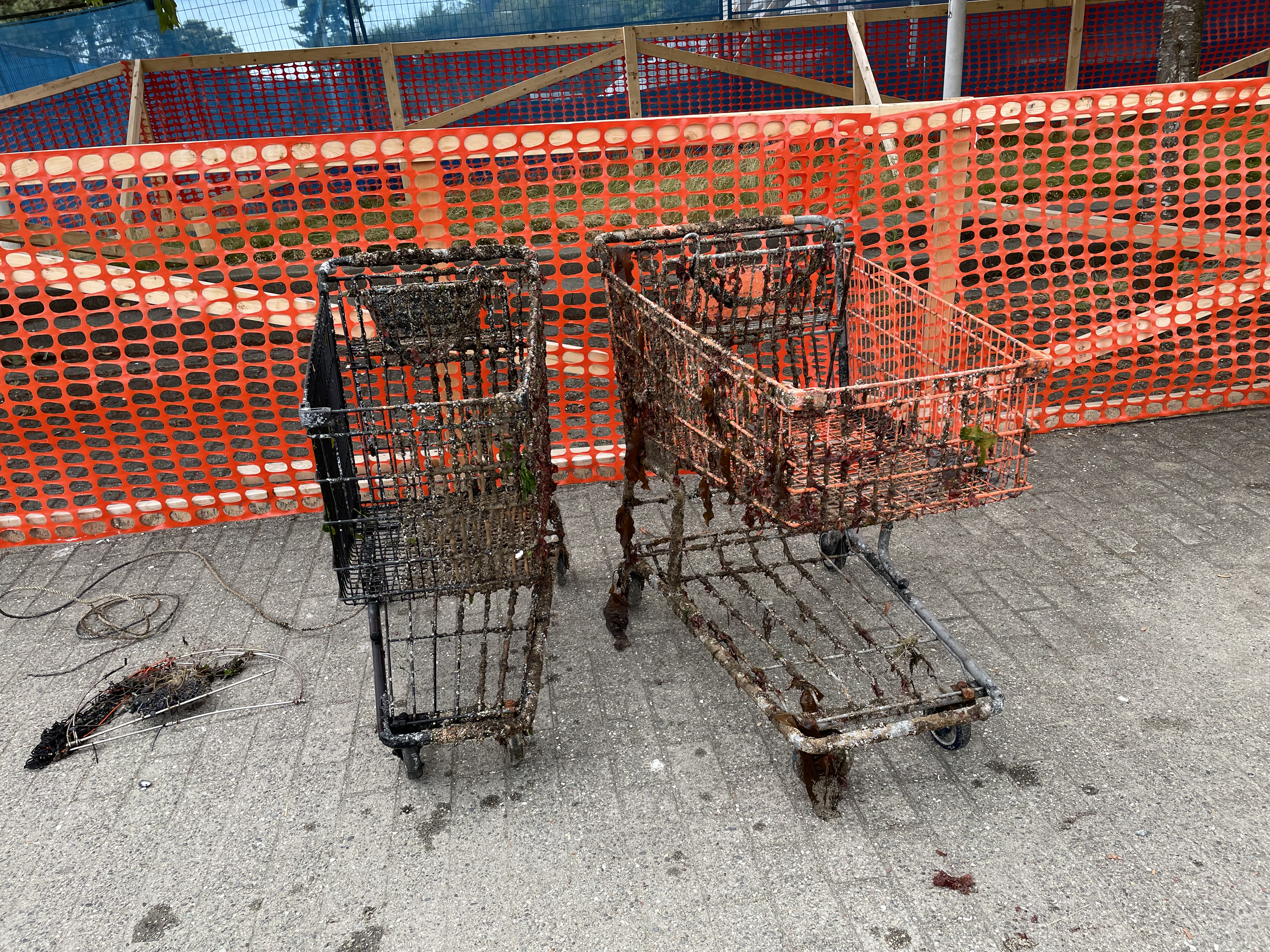
I have debris data to report
Calm (glassy to rippled) for waves 0 – 0.1 meter high
1
4
m2


meters
rocky reef
5
5
State\Province
Jeju-do
City
Seogwipo-si
Map Help
Dive Location
If you know your survey site coordinates, enter them manually in decimal degrees using WGS84 Map Datum. Use the minus sign for latitudes south of the equator and longitudes west of the Prime Meridian to 180 degrees.
If you do not know your survey site coordinates, click the “Map Location” tab to use the map to zoom into your survey site and drop the pin on the map to fall within your survey dive site in the water (not on land or the beach). Ensure you zoom in as much as possible to ensure data accuracy.
Entangled Help