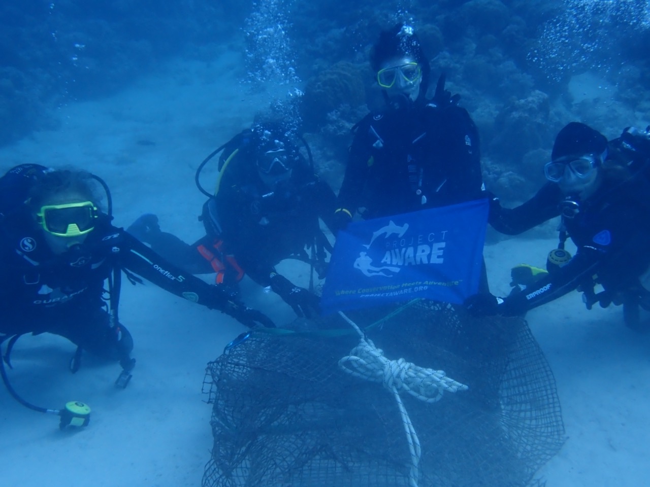
Bahia de Los Muertos
23.9925759, -109.8261243
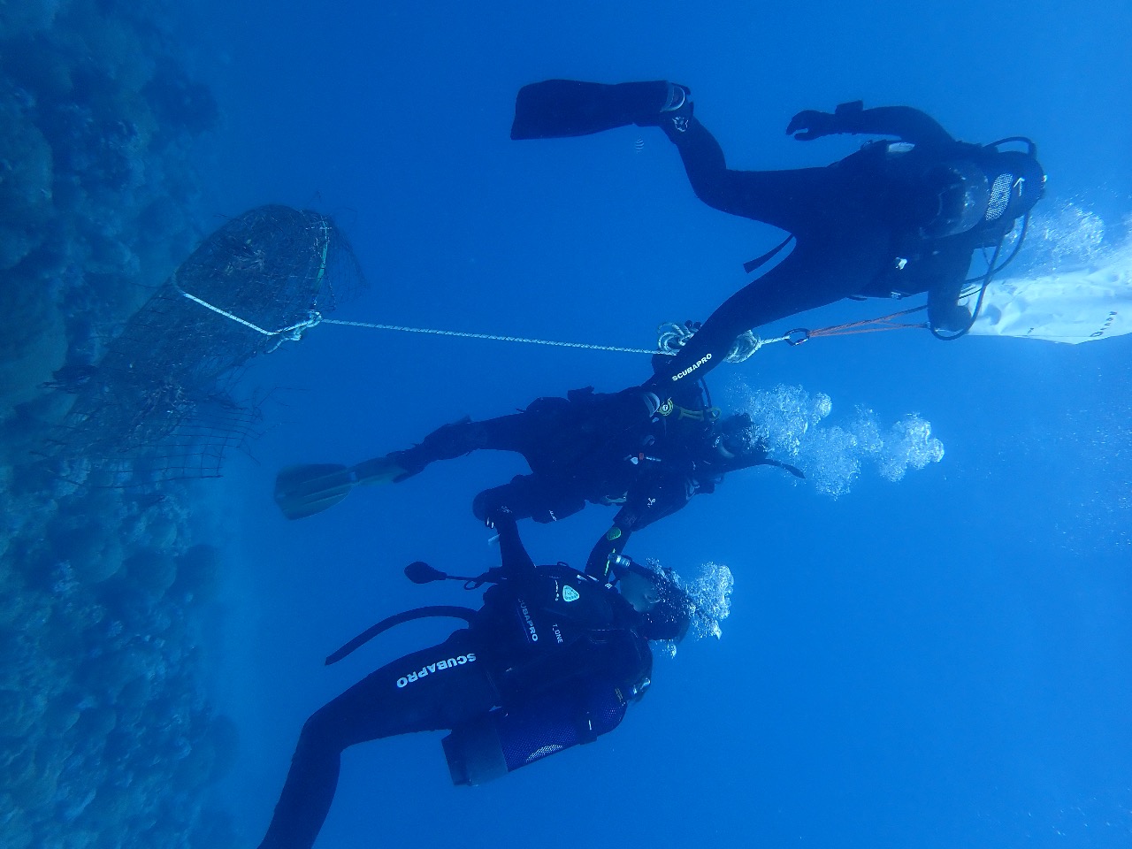
1
sand
40
Spark plugs (used as fishing weights)
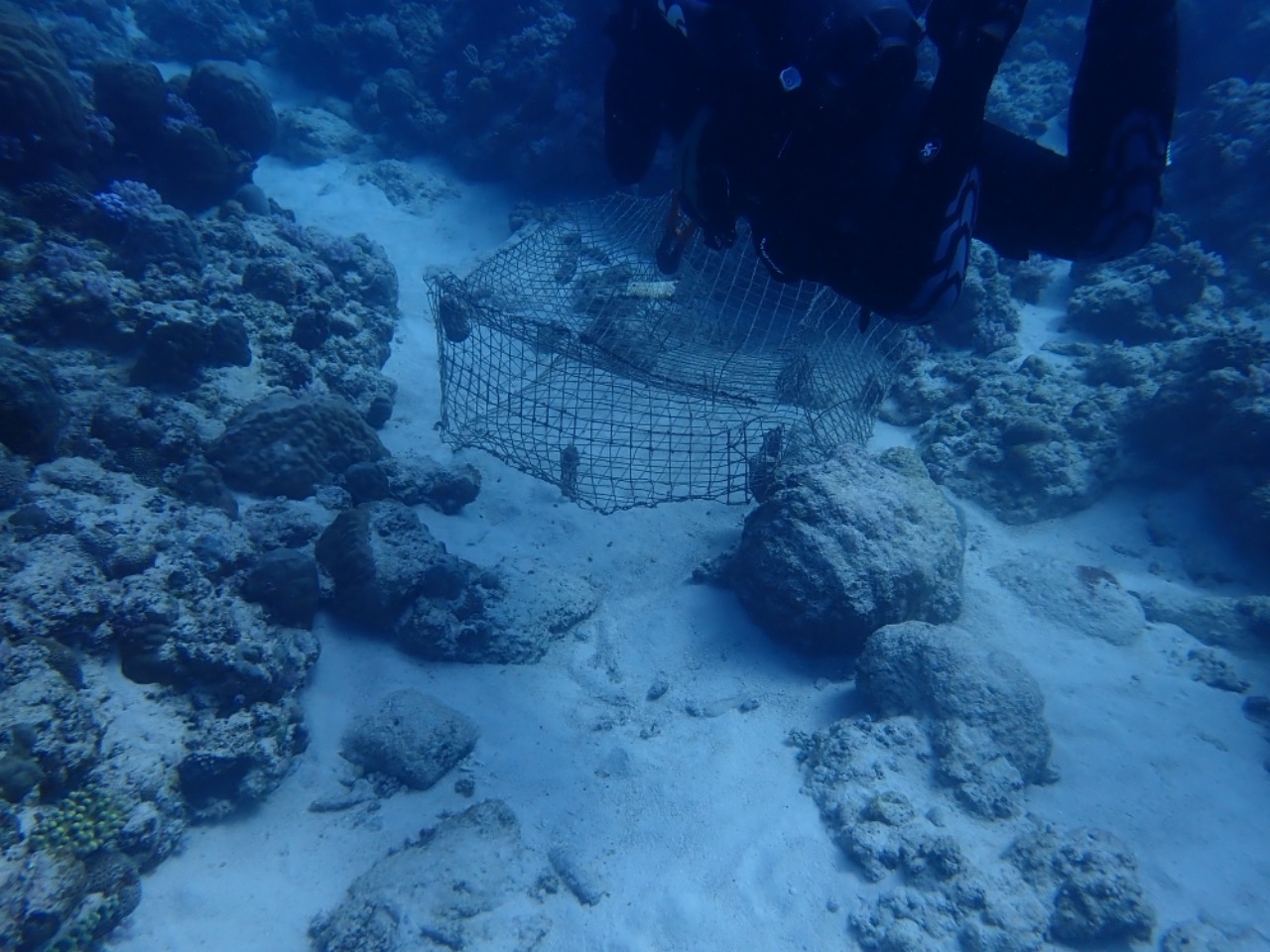
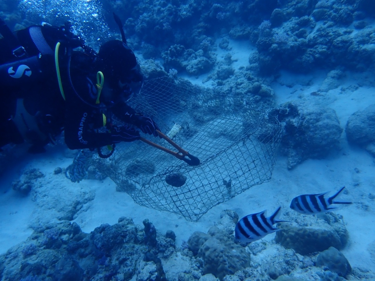
Fishing line and gear were tangeled on seperate heads of corals
1
Wrench
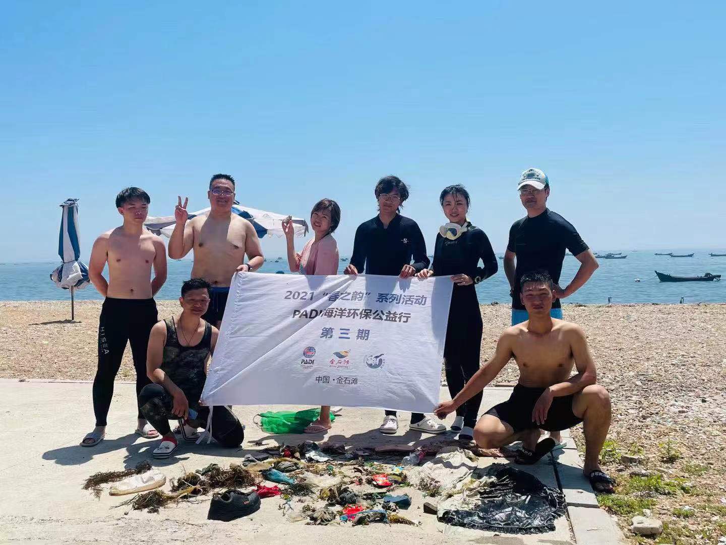
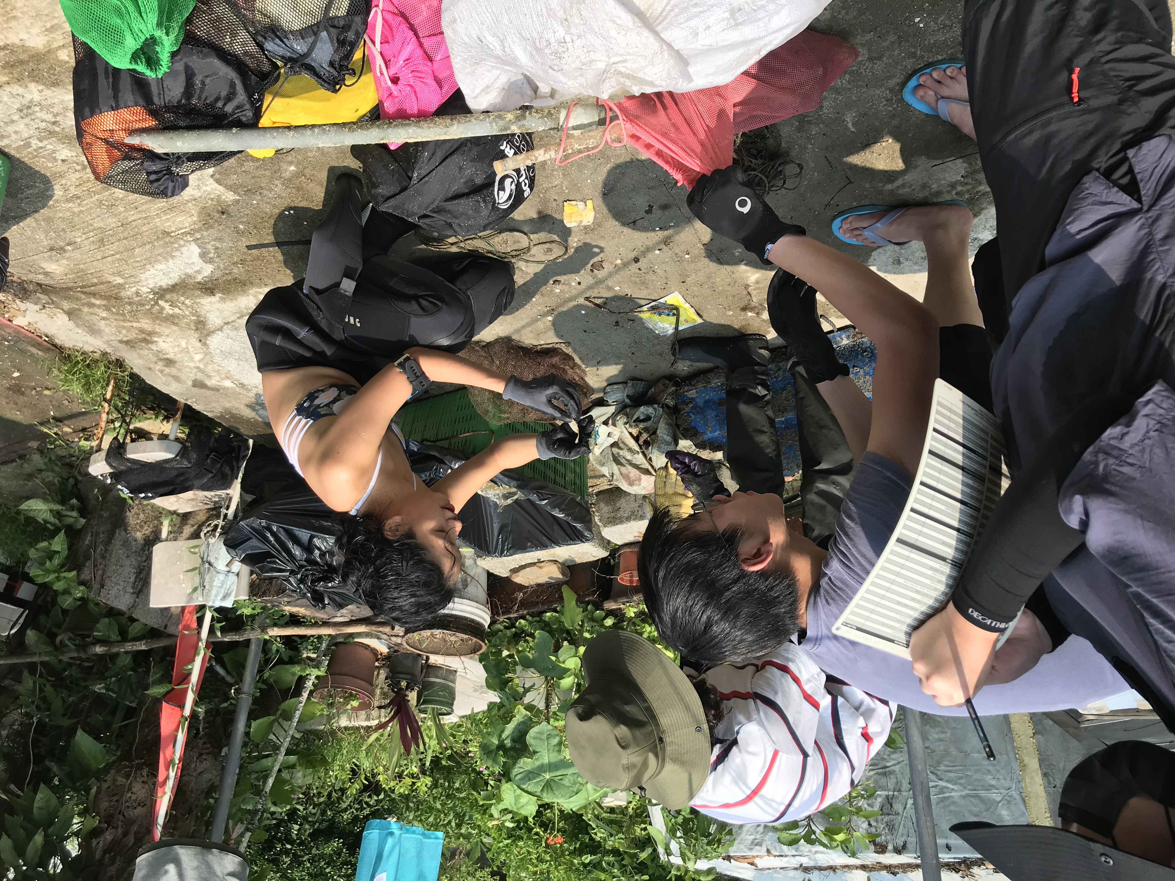
Chrissy Cappellano
2
5.00
103
4.00
1.00
estimated
40
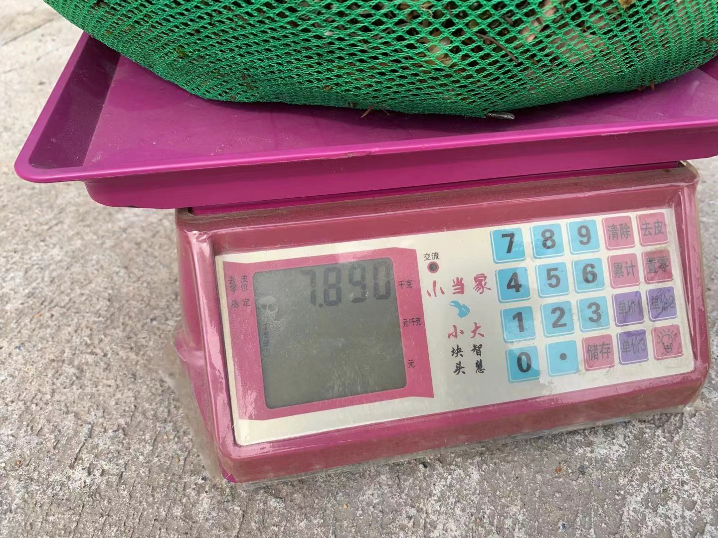
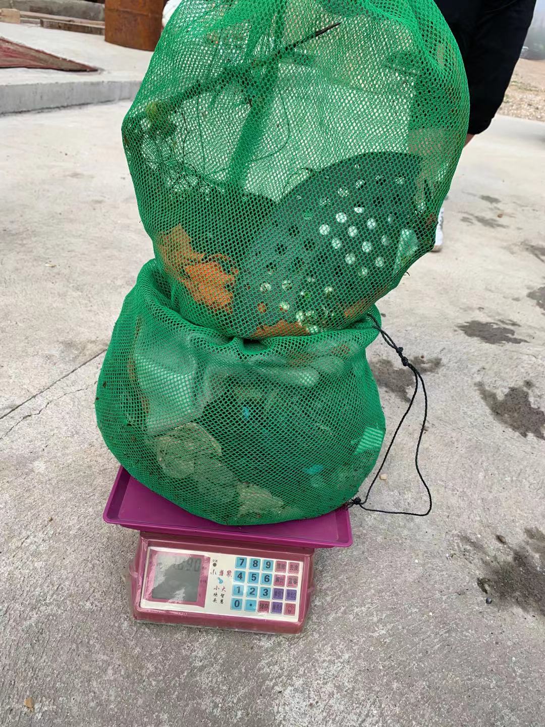
36000.00
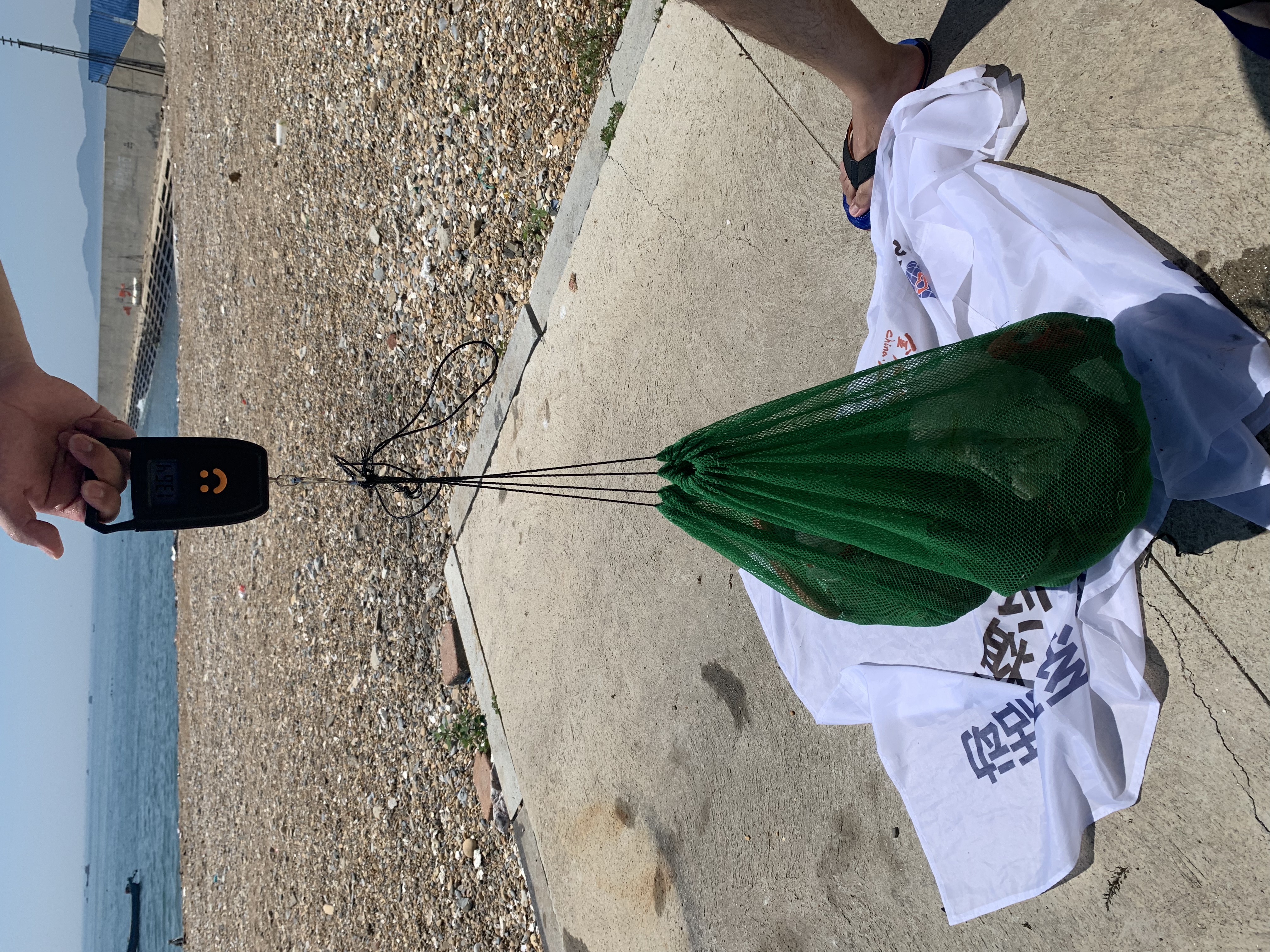
Fishing line entangled with coral growing around it, algae growing on the line which appeared to damage surrounding coral
Fish hooks causing difficulty for divers during removal process
On
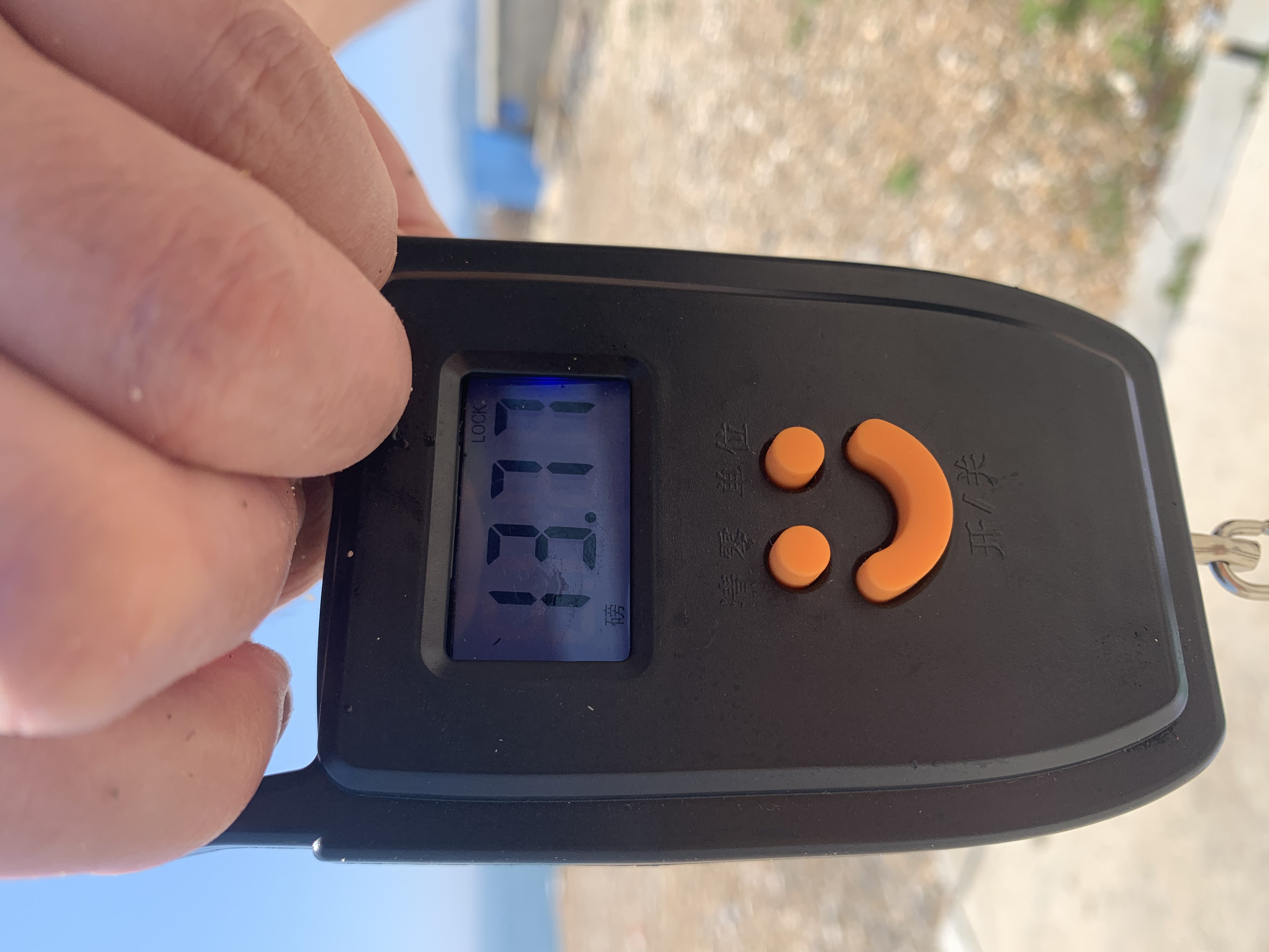
pounds
I have debris data to report
Calm (glassy to rippled) for waves 0 – 0.1 meter high
ft2


8
Fishing line
Coral
meters
rocky reef
State\Province
BCS
City
La Paz
Map Help
Dive Location
If you know your survey site coordinates, enter them manually in decimal degrees using WGS84 Map Datum. Use the minus sign for latitudes south of the equator and longitudes west of the Prime Meridian to 180 degrees.
If you do not know your survey site coordinates, click the “Map Location” tab to use the map to zoom into your survey site and drop the pin on the map to fall within your survey dive site in the water (not on land or the beach). Ensure you zoom in as much as possible to ensure data accuracy.
Entangled Help