DAY.13 Jeju Island
1
33.227598, 126.565882
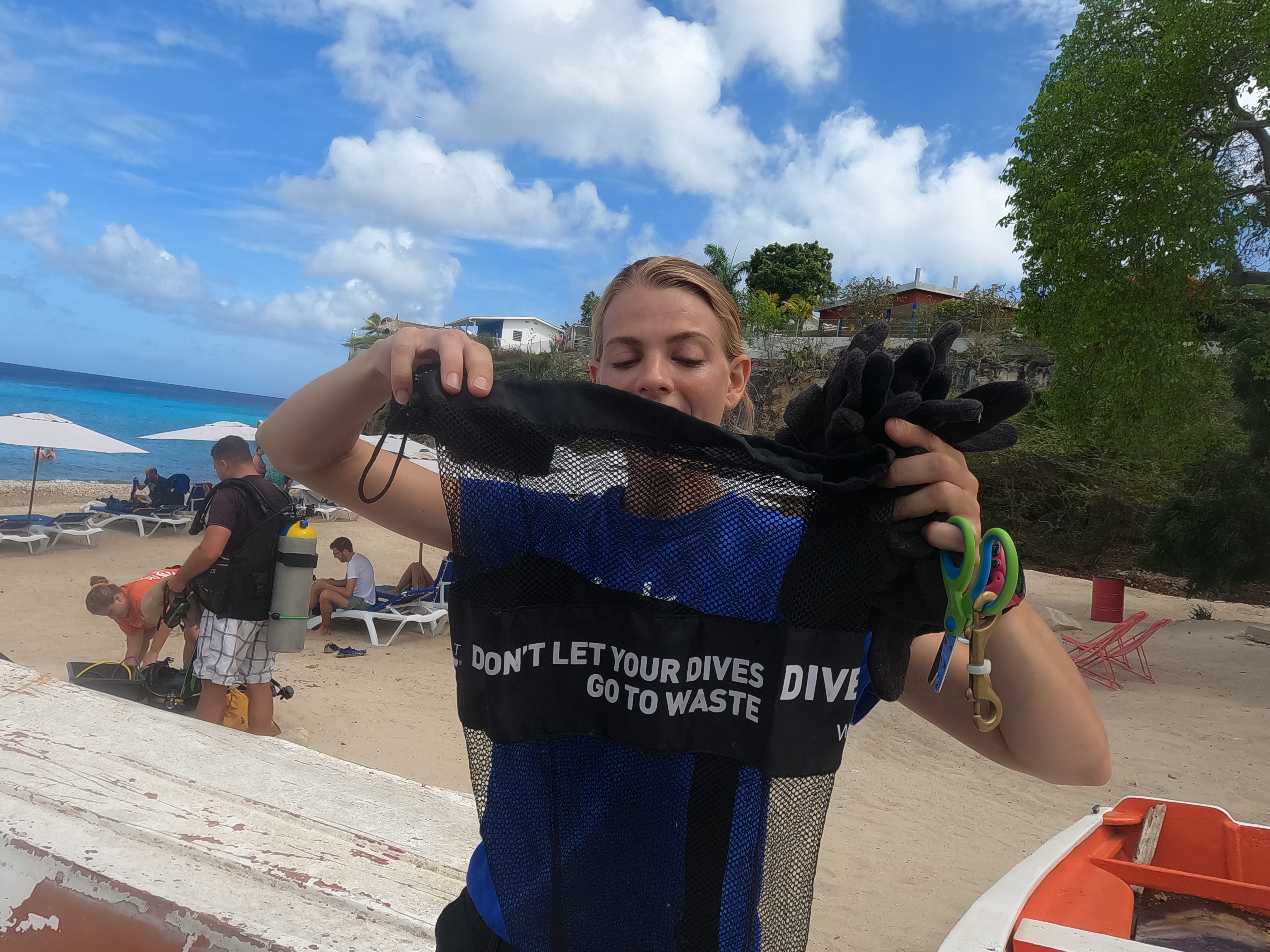
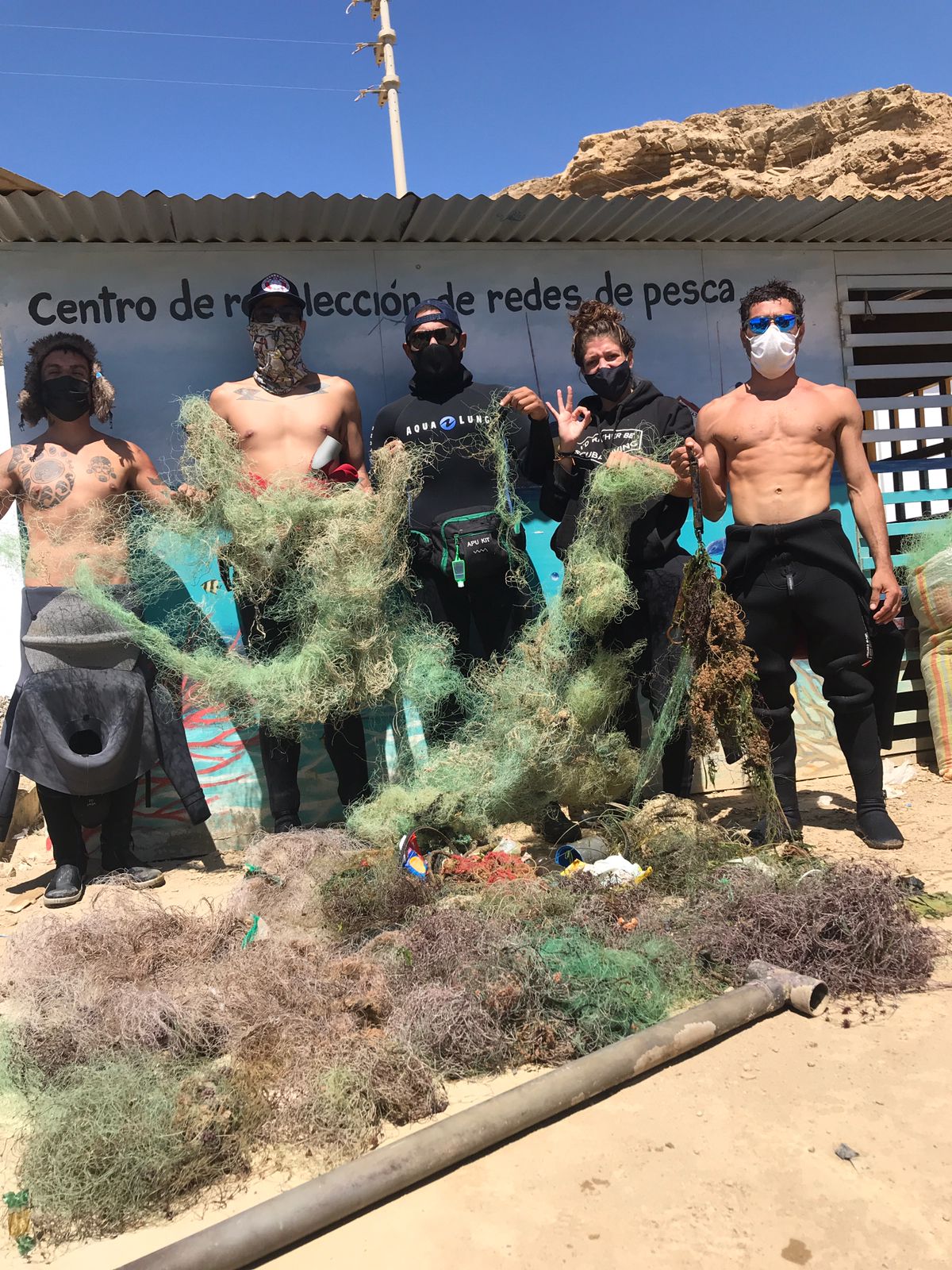
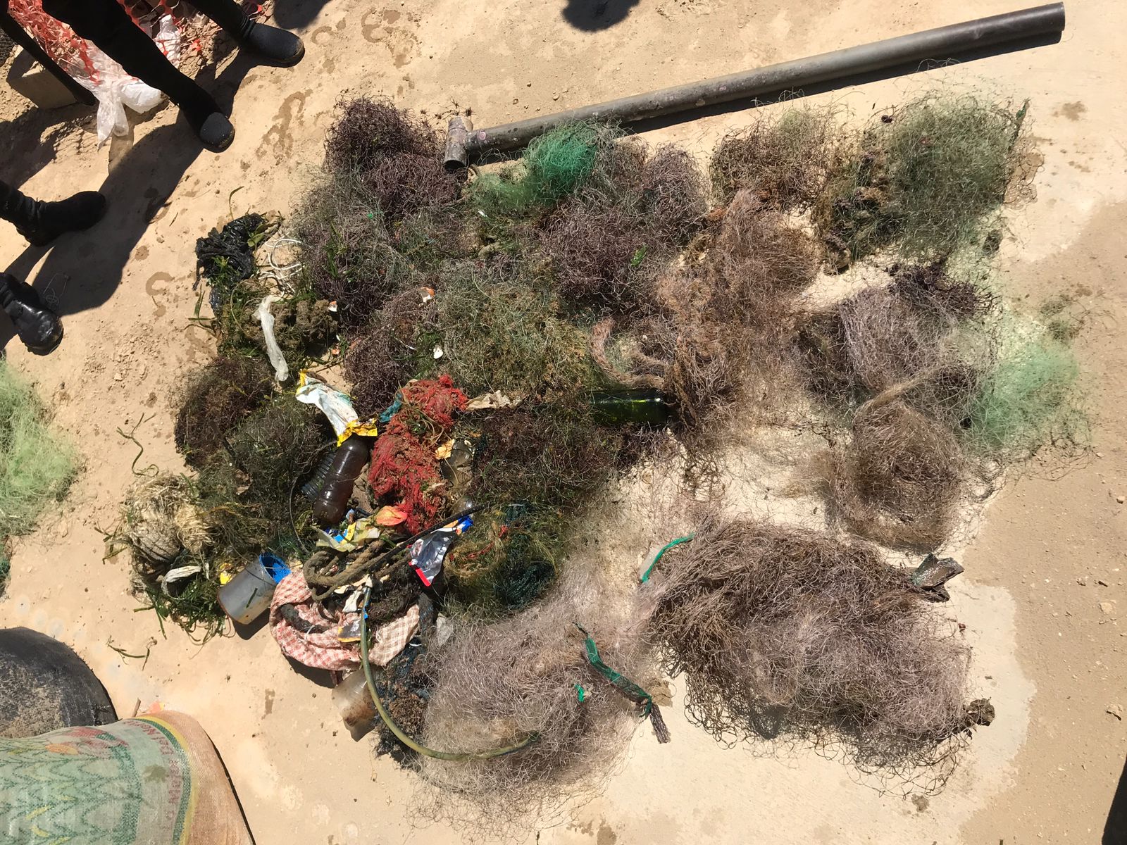
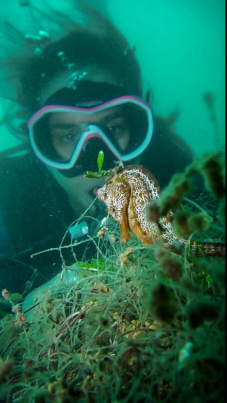
We did the project as Technical Diving. Some trash were in the deep ocean.
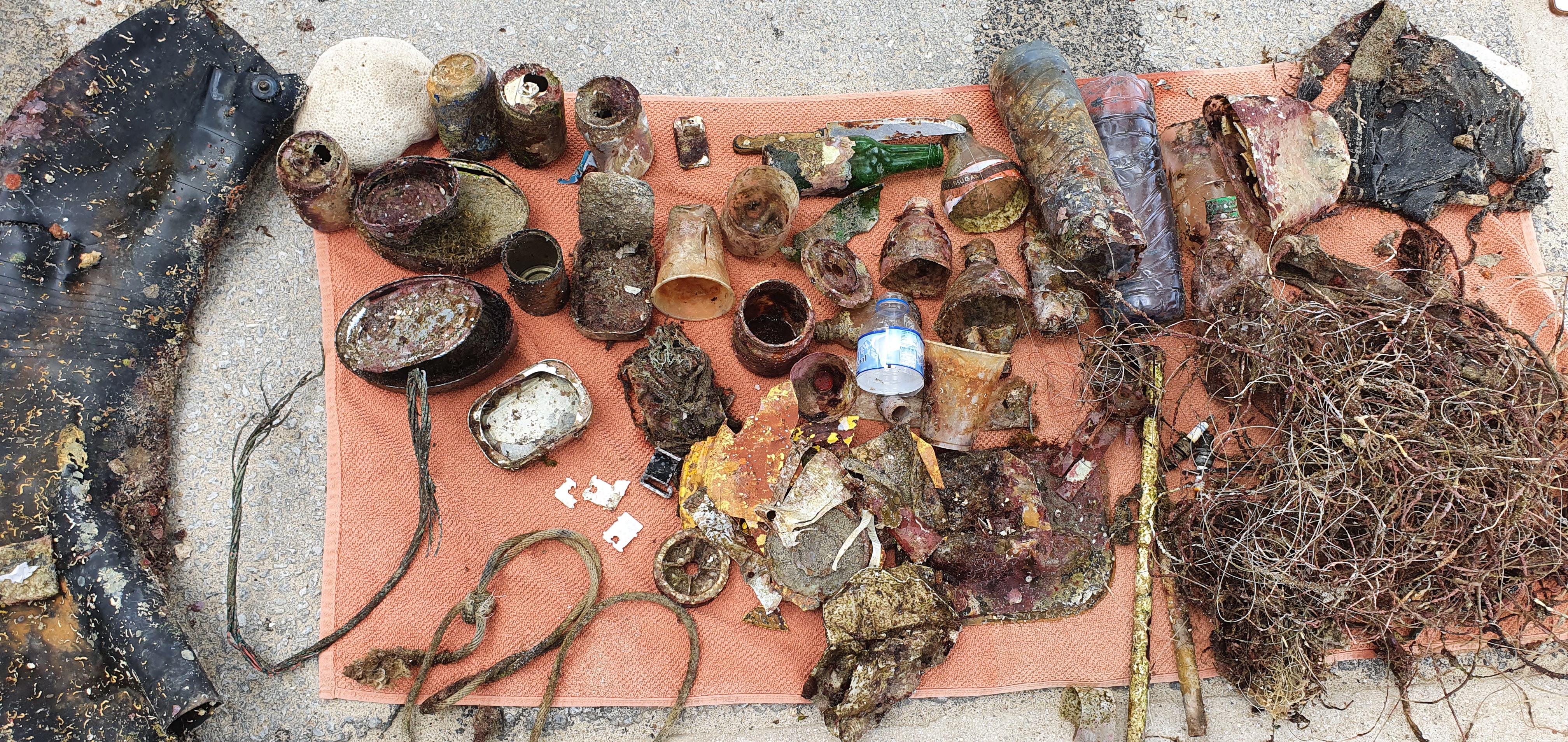
Two items were mirror and case for knife dropped by Scuba Diver.
Some divers could drop their item. We have to make sure fasten the items.
Mirror and case for knife.
Sunny
Time Space Dive
Hyungseok Kim
4
2.00
40
41.90
6.00
estimated
5693.82
Chain
Knife
Mirror
On
kilograms
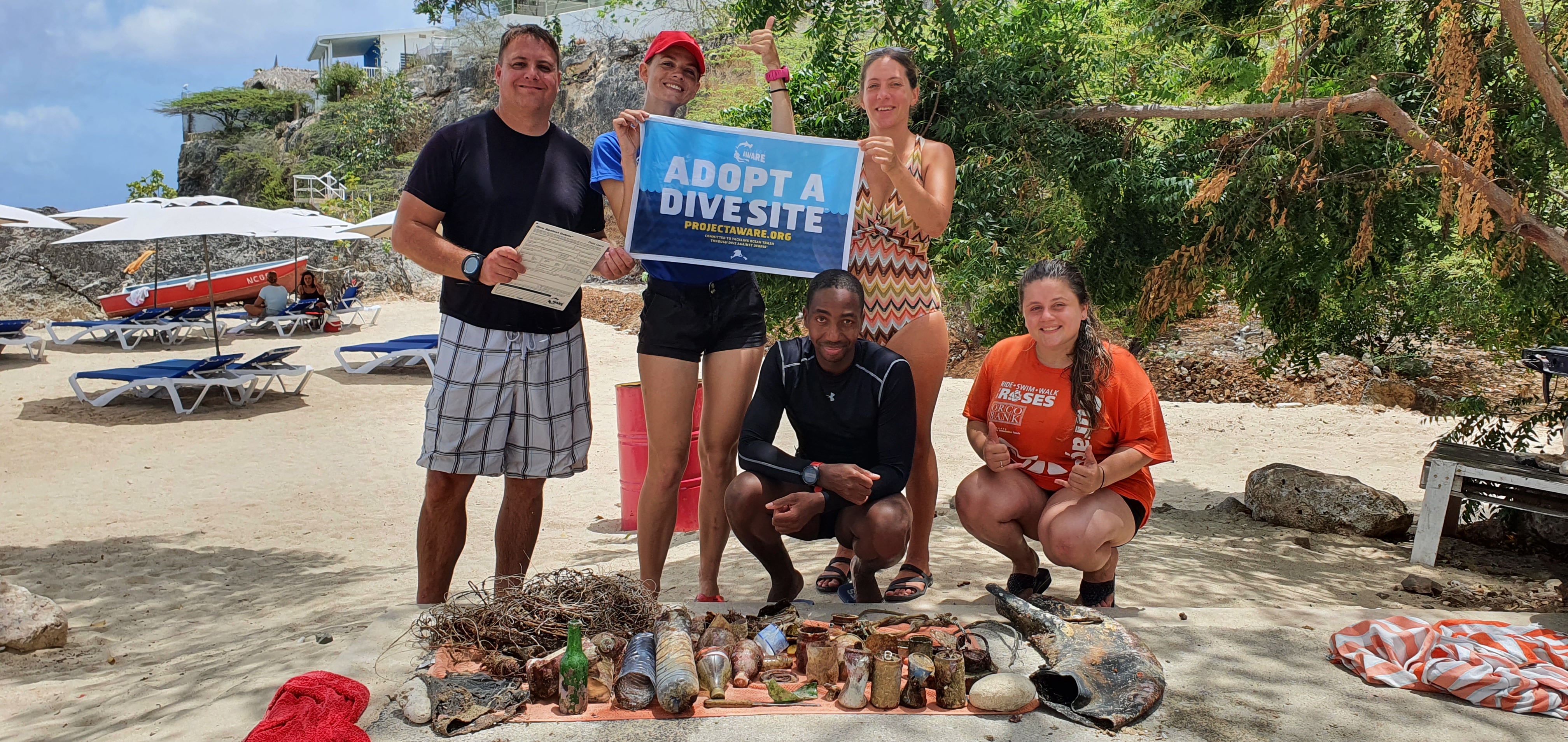
I have debris data to report
Smooth (wavelets) for waves 0.1 - 0.5 meter high
m2


meters
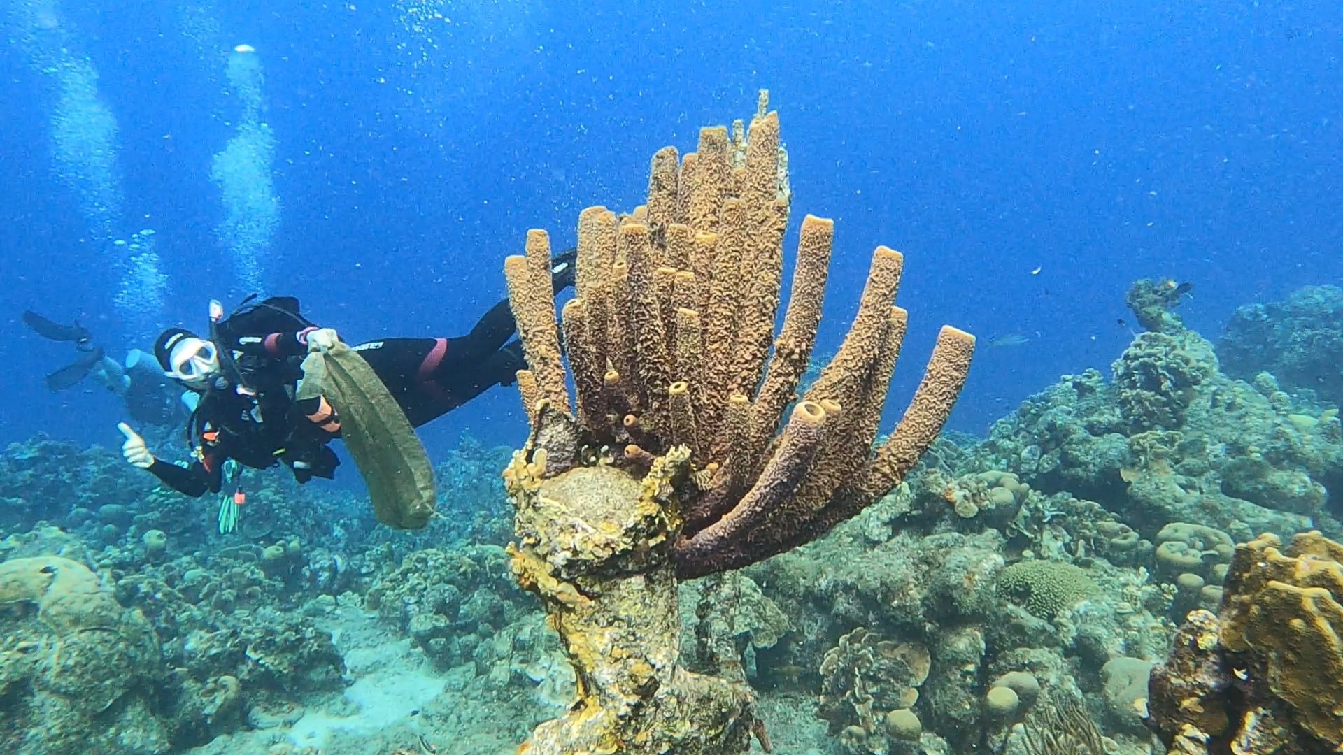
coral reef
1
1
State\Province
Jeju-do
City
Seogwipo
Map Help
Dive Location
If you know your survey site coordinates, enter them manually in decimal degrees using WGS84 Map Datum. Use the minus sign for latitudes south of the equator and longitudes west of the Prime Meridian to 180 degrees.
If you do not know your survey site coordinates, click the “Map Location” tab to use the map to zoom into your survey site and drop the pin on the map to fall within your survey dive site in the water (not on land or the beach). Ensure you zoom in as much as possible to ensure data accuracy.
Entangled Help