Menu

Wharf #2

0
0
0
0

36.604797, -121.889169

0
0
1
silt
0
0
1
0
0
No
None
Toilet
Clear
Aquarius
Dane
0
0
0
0
1
0
0
0
0
0
0
0
0
0
0
0
0
0
0
8
0
0
0
0
0
0
0
0
0
0
0
0
0
0
0
0
14.00
51
25.00
10.00
1
estimated
0
0
0
0
20231.30
0
0
0
0
0
Metal shelves
Toilet
Car parts
0
On
pounds
0
I have debris data to report
2
0
0
Smooth (wavelets) for waves 0.1 - 0.5 meter high
0
0
0
0
0
0
0
ft2
0
2
feet
kelp
2
0
0
0
0
0
0
0
0
0
0
0
0
0
0
2
0
0
0
0
0
0
0
0
0
0
0
0
0
United States
State\Province
CA
City
Monterey
Map Help


Dive Location

If you know your survey site coordinates, enter them manually in decimal degrees using WGS84 Map Datum. Use the minus sign for latitudes south of the equator and longitudes west of the Prime Meridian to 180 degrees.

If you do not know your survey site coordinates, click the “Map Location” tab to use the map to zoom into your survey site and drop the pin on the map to fall within your survey dive site in the water (not on land or the beach). Ensure you zoom in as much as possible to ensure data accuracy.

Entangled Help


Use the vertical tabs below to record any entangled animals you found of each type.

Warf #2

36.604797, -121.889169

1
silt
1
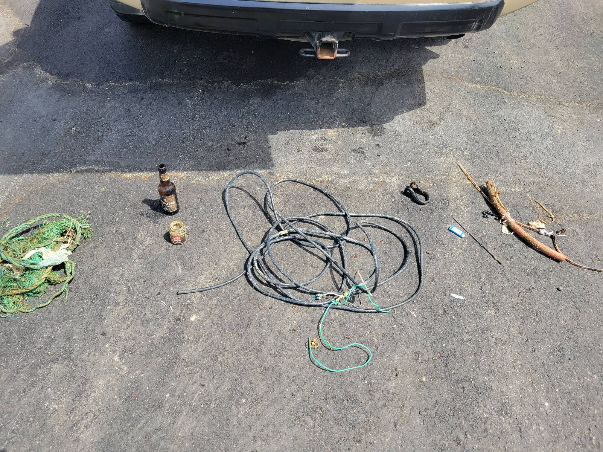
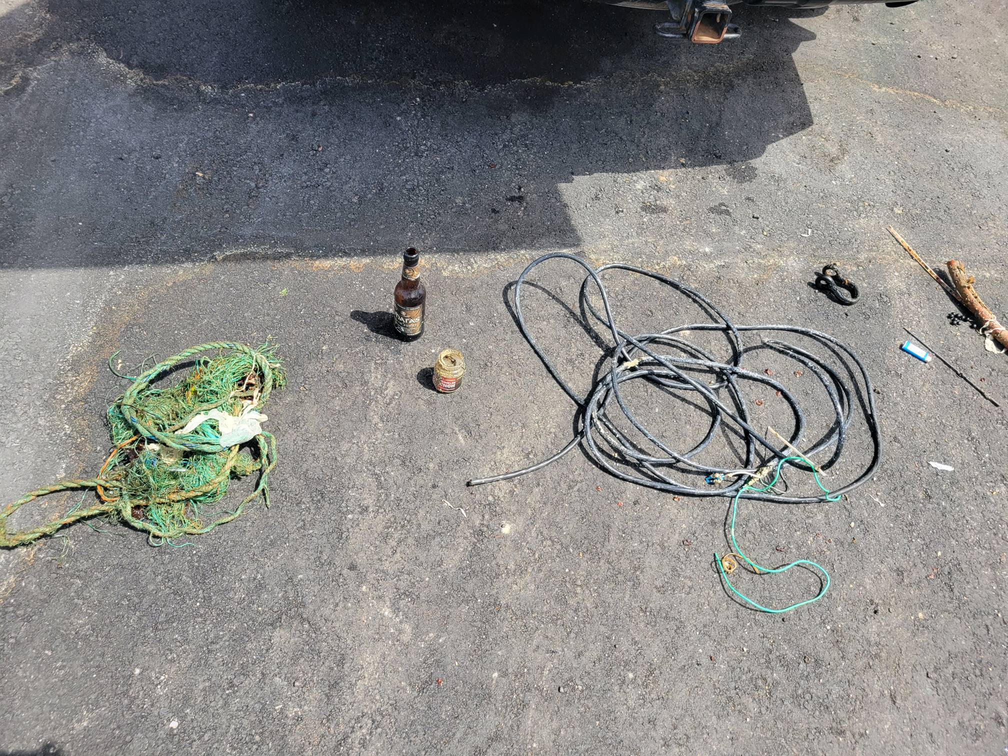
A toilet we could not get out.
Clear
Aquarius Dive Shop
Dane
1
8
14.00
51
25.00
10.00
1
estimated
3000.00
Metal shelves
Toilet
Car parts
On
pounds
I have debris data to report
2
Smooth (wavelets) for waves 0.1 - 0.5 meter high ft2
feet
kelp
2
2
United States
State\Province
CA
City
Monterey
Map Help


Dive Location

If you know your survey site coordinates, enter them manually in decimal degrees using WGS84 Map Datum. Use the minus sign for latitudes south of the equator and longitudes west of the Prime Meridian to 180 degrees.

If you do not know your survey site coordinates, click the “Map Location” tab to use the map to zoom into your survey site and drop the pin on the map to fall within your survey dive site in the water (not on land or the beach). Ensure you zoom in as much as possible to ensure data accuracy.
Entangled Help


Use the vertical tabs below to record any entangled animals you found of each type.

Wharf#2

0
0
0

36.604683631842, -121.88905054015

0
0
0
silt
0
0
0
0
0
Yes
Crab pot
Sunny
1
0
0
0
0
0
0
0
0
0
0
0
0
0
0
0
0
0
0
0
Crab pot
Aquarius
Dane
0
0
0
0
0
0
0
0
0
0
0
0
0
0
0
0
0
0
0
8
0
0
0
0
0
0
0
0
0
0
0
0
0
0
10.00
51
26.00
6.00
0
estimated
0
0
3000.00
0
0
0
0
0
Visibility
0
On
pounds
0
I have debris data to report
0
0
0
Smooth (wavelets) for waves 0.1 - 0.5 meter high
0
0
0
Net
Crab
Released Unharmed
1
0
0
0
0
ft2
0
0
meters
seagrass
0
0
0
0
0
0
0
0
0
0
0
0
0
0
0
0
0
0
0
0
0
0
0
0
0
0
0
0
United States
State\Province
California
City
Monterey
Map Help


Dive Location

If you know your survey site coordinates, enter them manually in decimal degrees using WGS84 Map Datum. Use the minus sign for latitudes south of the equator and longitudes west of the Prime Meridian to 180 degrees.

If you do not know your survey site coordinates, click the “Map Location” tab to use the map to zoom into your survey site and drop the pin on the map to fall within your survey dive site in the water (not on land or the beach). Ensure you zoom in as much as possible to ensure data accuracy.

Entangled Help


Use the vertical tabs below to record any entangled animals you found of each type.

Wharf #2

0
0
0

36.603714226564, -121.88910635248

0
0
0
silt
0
0
0
0
0
No
Hook was swallowed
A brake rotation
Sunny/clear
0
0
0
0
0
0
0
0
0
0
0
0
0
0
0
0
0
0
0
0
Aquarius Dive Shop
Dane
0
0
0
0
0
0
0
0
0
0
0
0
0
0
0
0
0
0
4
8
0
0
0
0
0
0
0
0
0
0
0
0
0
0
45.00
51
24.00
6.00
0
estimated
0
0
28766.90
0
0
0
0
0
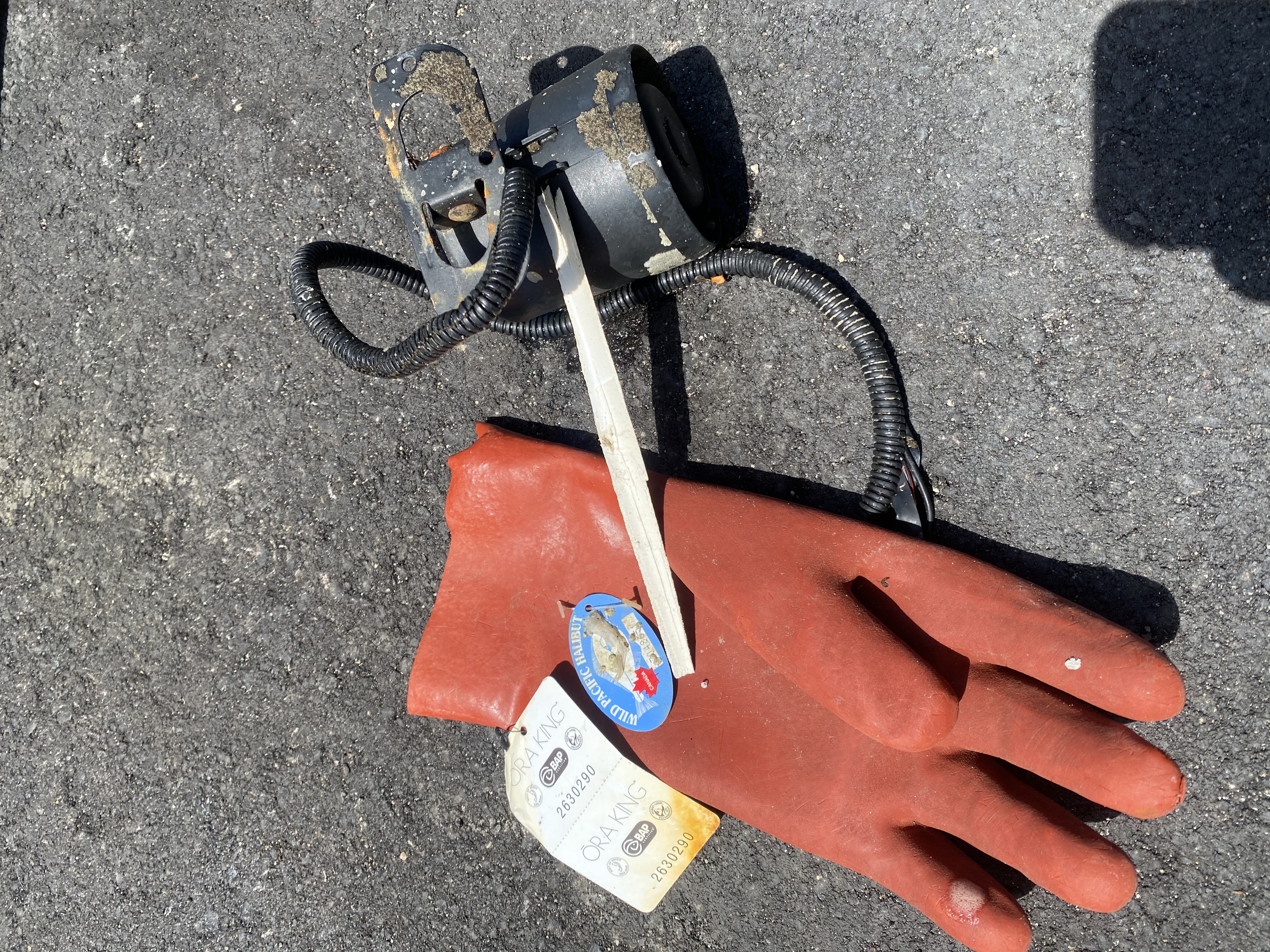
Fishing hooks
Stainless steal beam
2
On
pounds
0
I have debris data to report
1
0
0
Smooth (wavelets) for waves 0.1 - 0.5 meter high
0
0
0
Fishing line
1
Cormorant
0
0
0
0
ft2
0
6
Injured
feet
kelp
0
0
1
0
0
0
1
0
0
0
0
0
0
0
0
0
0
0
0
0
0
0
0
0
0
0
0
0
United States
State\Province
Ca
City
Monterey
Map Help


Dive Location

If you know your survey site coordinates, enter them manually in decimal degrees using WGS84 Map Datum. Use the minus sign for latitudes south of the equator and longitudes west of the Prime Meridian to 180 degrees.

If you do not know your survey site coordinates, click the “Map Location” tab to use the map to zoom into your survey site and drop the pin on the map to fall within your survey dive site in the water (not on land or the beach). Ensure you zoom in as much as possible to ensure data accuracy.

Entangled Help


Use the vertical tabs below to record any entangled animals you found of each type.

Wharf#2

0
0
0

36.603800094759, -121.88916128492

0
0
0
silt
0
0
0
0
0
No
Yes
Really fun experience
Really cool to help release
Crab pot
Sunny
1
0
0
0
0
0
0
0
0
0
0
0
0
0
0
0
0
0
0
0
Crab pots
Aquarius
Dane
0
0
0
0
0
0
0
0
0
0
0
0
0
0
0
0
0
0
0
8
0
0
0
0
0
0
0
0
0
0
0
0
0
0
10.00
51
24.00
6.00
0
estimated
0
0
3000.00
0
0
0
0
0
Plastic bags
Car parts
Fishing lines and nets
0
On
pounds
0
I have debris data to report
0
0
0
Smooth (wavelets) for waves 0.1 - 0.5 meter high
0
0
0
Crab pot
Crab
Released Unharmed
1
0
0
0
0
ft2
0
0
feet
kelp
0
0
0
0
0
0
0
0
0
0
0
0
0
0
0
0
0
0
0
0
0
0
0
0
0
0
0
0
United States
State\Province
California
City
Monterey
Map Help


Dive Location

If you know your survey site coordinates, enter them manually in decimal degrees using WGS84 Map Datum. Use the minus sign for latitudes south of the equator and longitudes west of the Prime Meridian to 180 degrees.

If you do not know your survey site coordinates, click the “Map Location” tab to use the map to zoom into your survey site and drop the pin on the map to fall within your survey dive site in the water (not on land or the beach). Ensure you zoom in as much as possible to ensure data accuracy.
Entangled Help


Use the vertical tabs below to record any entangled animals you found of each type.

ADS592 - Lady Hole

0
0
0
0

55.553059383879, -1.6240417410713

0
0
0
sand
0
1
0
1
0
Lockdown
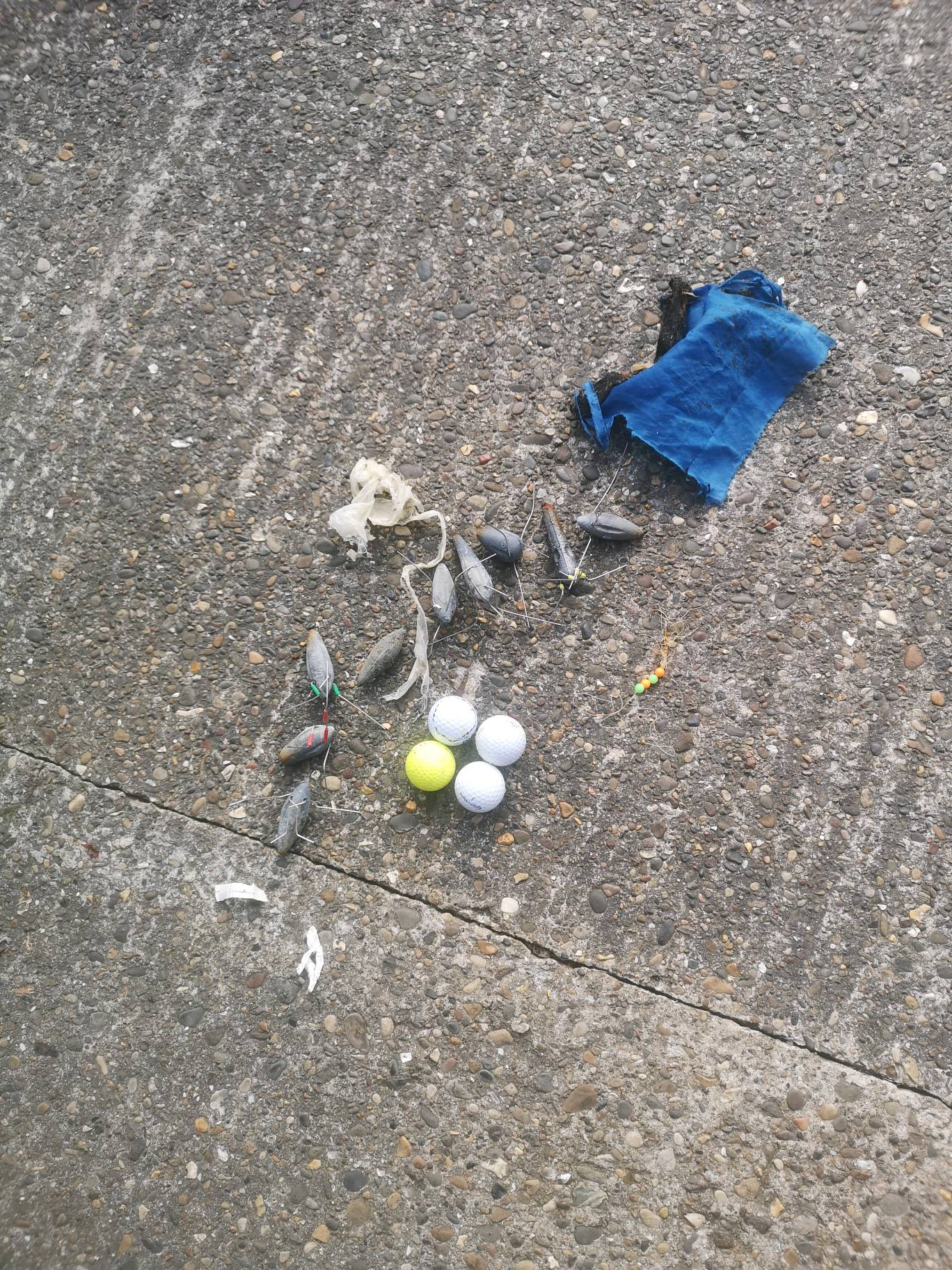
Golf balls
The Fifth Point
Nic Emery
0
0
0
1
0
0
0
0
0
0
0
0
0
0
0
0
0
0
0
6
0
0
0
0
0
0
0
0
0
0
0
0
4
0
0
0
3.50
20
10.00
5.00
0
measured
0
0
0
9
9346.76
0
0
0
0
0
Fishing weights
Fishing line
Golf balls
0
On
kilograms
0
I have debris data to report
0
0
0
Smooth (wavelets) for waves 0.1 - 0.5 meter high
0
0
0
0
1
0
0
m2
0
0
meters
kelp
0
0
0
0
0
0
0
0
0
0
0
0
0
0
0
0
0
0
0
0
0
0
0
0
0
0
0
0
0
United Kingdom
State\Province
Northumberland
City
Beadnell
Map Help


Dive Location

If you know your survey site coordinates, enter them manually in decimal degrees using WGS84 Map Datum. Use the minus sign for latitudes south of the equator and longitudes west of the Prime Meridian to 180 degrees.

If you do not know your survey site coordinates, click the “Map Location” tab to use the map to zoom into your survey site and drop the pin on the map to fall within your survey dive site in the water (not on land or the beach). Ensure you zoom in as much as possible to ensure data accuracy.
Entangled Help


Use the vertical tabs below to record any entangled animals you found of each type.

Molasses Reef #1

25.00805, -80.37768333

sand
Sea Base/FKNMS
Sea Base
5
0.00
23
25.00
20.00
measured
5000.00
On
pounds
Our Survey Site was free of debris
Slight for waves 0.5 -1.25 meter high ft2
feet
coral reef
United States
State\Province
Florida
City
Islamorada
Map Help


Dive Location

If you know your survey site coordinates, enter them manually in decimal degrees using WGS84 Map Datum. Use the minus sign for latitudes south of the equator and longitudes west of the Prime Meridian to 180 degrees.

If you do not know your survey site coordinates, click the “Map Location” tab to use the map to zoom into your survey site and drop the pin on the map to fall within your survey dive site in the water (not on land or the beach). Ensure you zoom in as much as possible to ensure data accuracy.
Entangled Help


Use the vertical tabs below to record any entangled animals you found of each type.

French Reef #7

25.03521667, -80.34788333

sand
Sea Base/FKNMS
Sea Base
5
0.00
33
34.00
26.00
measured
6000.00
On
pounds
Our Survey Site was free of debris
Slight for waves 0.5 -1.25 meter high ft2
feet
coral reef
United States
State\Province
Florida
City
Islamorada
Map Help


Dive Location

If you know your survey site coordinates, enter them manually in decimal degrees using WGS84 Map Datum. Use the minus sign for latitudes south of the equator and longitudes west of the Prime Meridian to 180 degrees.

If you do not know your survey site coordinates, click the “Map Location” tab to use the map to zoom into your survey site and drop the pin on the map to fall within your survey dive site in the water (not on land or the beach). Ensure you zoom in as much as possible to ensure data accuracy.

Entangled Help


Use the vertical tabs below to record any entangled animals you found of each type.

Davis Ledge #2

24.92233333, -80.5055

1
sand
1
Sea Base/FKNMS
Sea Base
5
0.50
35
24.00
18.00
estimated
12000.00
On
pounds
I have debris data to report
Slight for waves 0.5 -1.25 meter high ft2
feet
coral reef
United States
State\Province
Florida
City
Islamorada
Map Help


Dive Location

If you know your survey site coordinates, enter them manually in decimal degrees using WGS84 Map Datum. Use the minus sign for latitudes south of the equator and longitudes west of the Prime Meridian to 180 degrees.

If you do not know your survey site coordinates, click the “Map Location” tab to use the map to zoom into your survey site and drop the pin on the map to fall within your survey dive site in the water (not on land or the beach). Ensure you zoom in as much as possible to ensure data accuracy.
Entangled Help


Use the vertical tabs below to record any entangled animals you found of each type.

ADS566 - Shell Bay

4
8
1
2

22.53333, 114.48333

sand
7
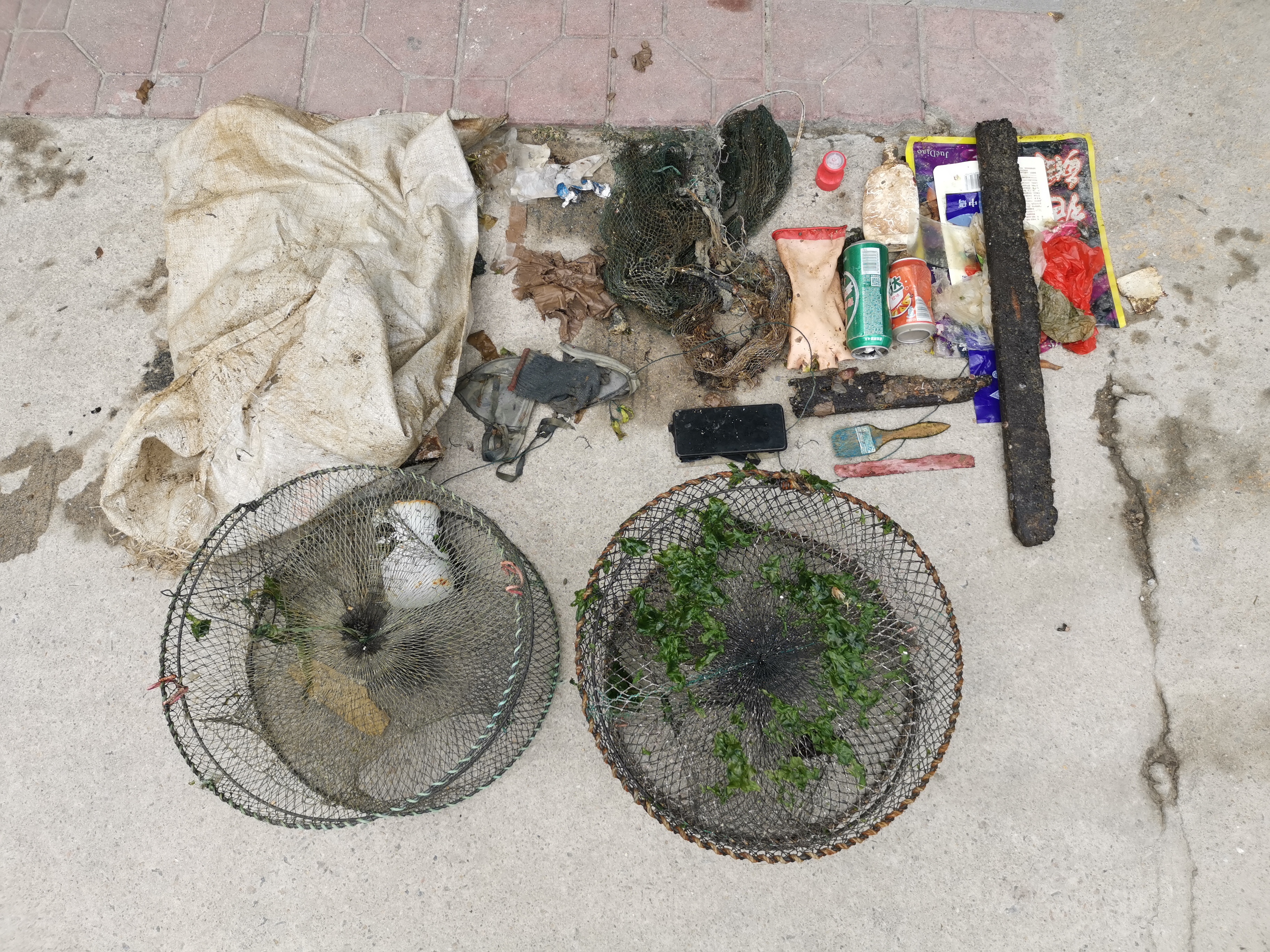
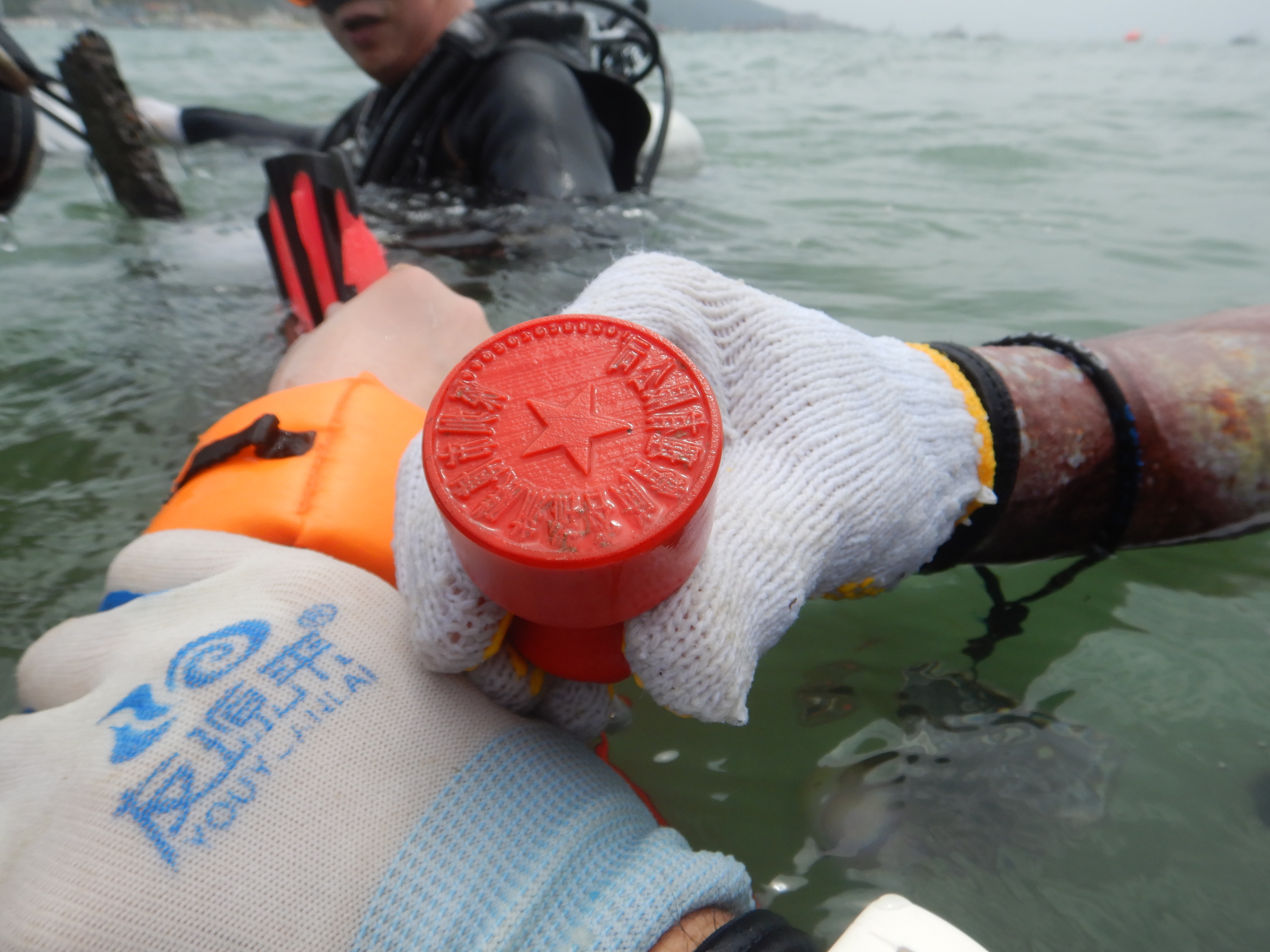
A Fuel Filter. A phone. A company chop.
The fish is trapped in a beverage can.
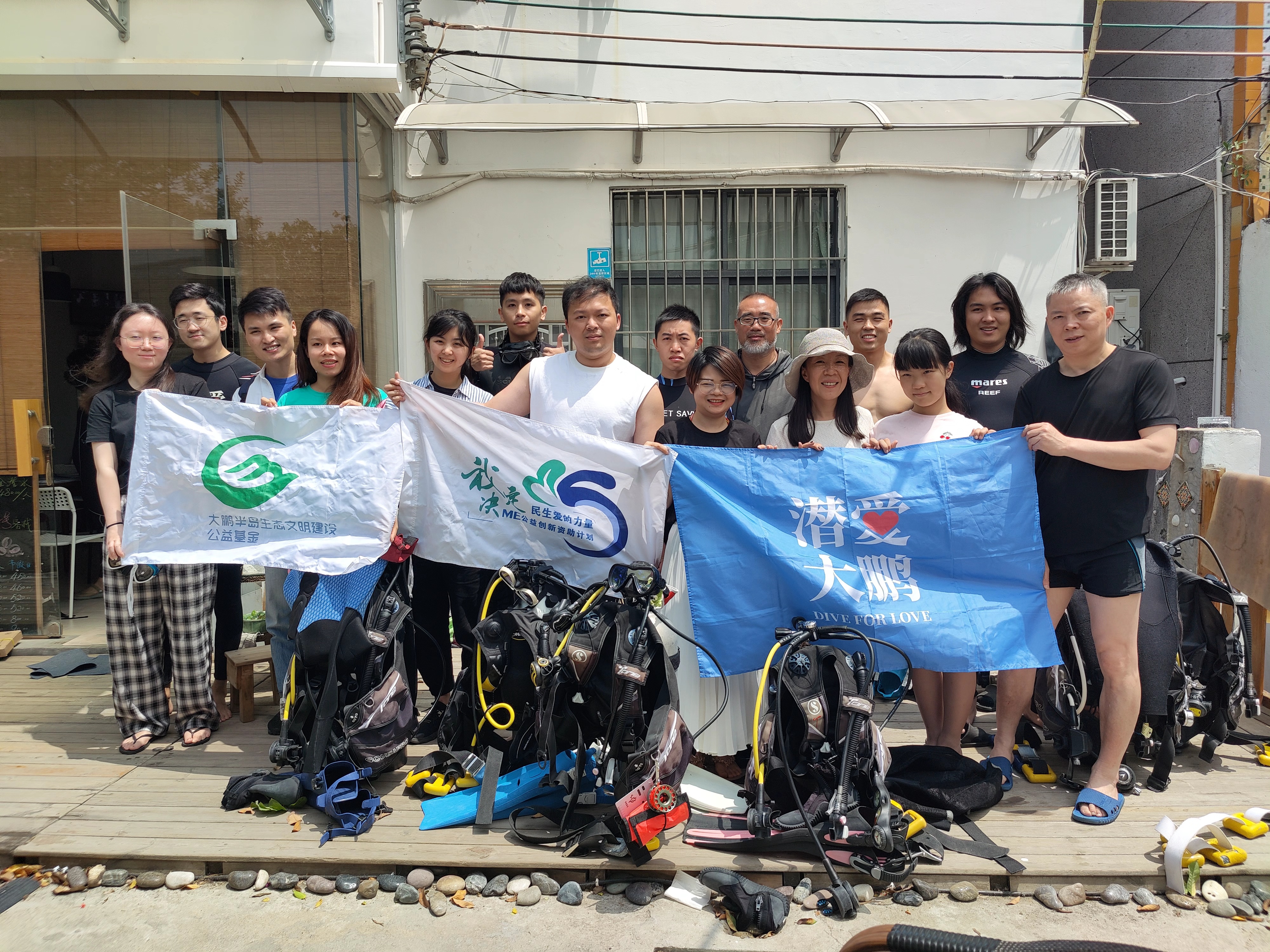
Dive4love
Huan Deng
1
6
9
3
1
6.40
45
6.00
2.00
1
measured
2
3000.00
1
On
kilograms
I have debris data to report
2
Moderate to rough for waves greater than 1.25 meters
4
Fishing trap
Released Unharmed
Small fish
Crab
Released Unharmed
2
1
Beverage can
1
m2
meters
rocky reef
1
1
1
1
1
2
4
China
State\Province
Guangdong
City
Shenzhen
Map Help


Dive Location

If you know your survey site coordinates, enter them manually in decimal degrees using WGS84 Map Datum. Use the minus sign for latitudes south of the equator and longitudes west of the Prime Meridian to 180 degrees.

If you do not know your survey site coordinates, click the “Map Location” tab to use the map to zoom into your survey site and drop the pin on the map to fall within your survey dive site in the water (not on land or the beach). Ensure you zoom in as much as possible to ensure data accuracy.

Entangled Help


Use the vertical tabs below to record any entangled animals you found of each type.

Subscribe to