Menu

Sabalos

coral

20.575567228143, -87.114471576691

Phocea Mexico
Attilio Falletta
8
0.00
45
15.00
9.00
estimated
188.00
On
kilograms
Our Survey Site was free of debris
Slight for waves 0.5 -1.25 meter high m2
meters
coral reef
Mexico
State\Province
Quintana Roo
City
Playa de Carmen
Map Help


Dive Location

If you know your survey site coordinates, enter them manually in decimal degrees using WGS84 Map Datum. Use the minus sign for latitudes south of the equator and longitudes west of the Prime Meridian to 180 degrees.

If you do not know your survey site coordinates, click the “Map Location” tab to use the map to zoom into your survey site and drop the pin on the map to fall within your survey dive site in the water (not on land or the beach). Ensure you zoom in as much as possible to ensure data accuracy.

Entangled Help


Use the vertical tabs below to record any entangled animals you found of each type.

Sabalos

coral

20.573376854013, -87.094470300517

This dive site is clean due to the amount of divers going by.
Windy and the harbour was close for few days
Phocea Mexico
Attilio Falletta
8
0.00
58
15.00
8.00
estimated
1000.00
plastics
fishing lines
On
kilograms
Our Survey Site was free of debris
Slight for waves 0.5 -1.25 meter high m2
meters
coral reef
Mexico
State\Province
Quintana Roo
City
Playa del Carmen
Map Help


Dive Location

If you know your survey site coordinates, enter them manually in decimal degrees using WGS84 Map Datum. Use the minus sign for latitudes south of the equator and longitudes west of the Prime Meridian to 180 degrees.

If you do not know your survey site coordinates, click the “Map Location” tab to use the map to zoom into your survey site and drop the pin on the map to fall within your survey dive site in the water (not on land or the beach). Ensure you zoom in as much as possible to ensure data accuracy.
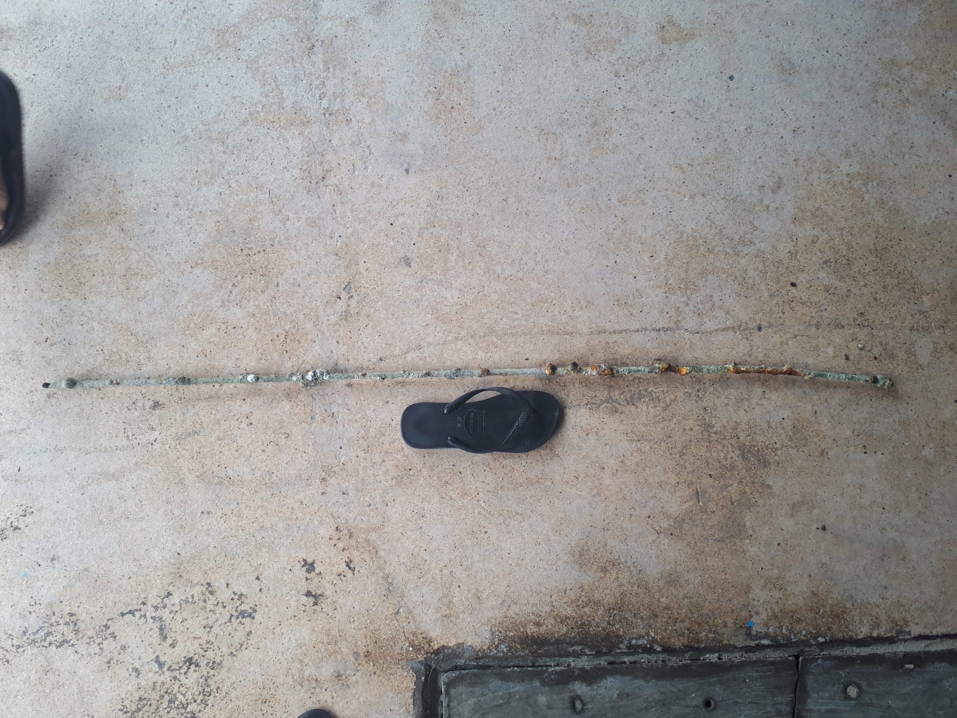
Entangled Help


Use the vertical tabs below to record any entangled animals you found of each type.

Sabalos

sand

20.574471357255, -87.095316059799

Windy
Phocéa Mexico
Attilio Falletta
8
0.00
175
15.00
8.00
estimated
1000.00
Fishing line
plastics
On
kilograms
Our Survey Site was free of debris
Slight for waves 0.5 -1.25 meter high m2
meters
coral reef
Mexico
State\Province
Quintana Roo
City
Playa del Carmen
Map Help


Dive Location

If you know your survey site coordinates, enter them manually in decimal degrees using WGS84 Map Datum. Use the minus sign for latitudes south of the equator and longitudes west of the Prime Meridian to 180 degrees.

If you do not know your survey site coordinates, click the “Map Location” tab to use the map to zoom into your survey site and drop the pin on the map to fall within your survey dive site in the water (not on land or the beach). Ensure you zoom in as much as possible to ensure data accuracy.
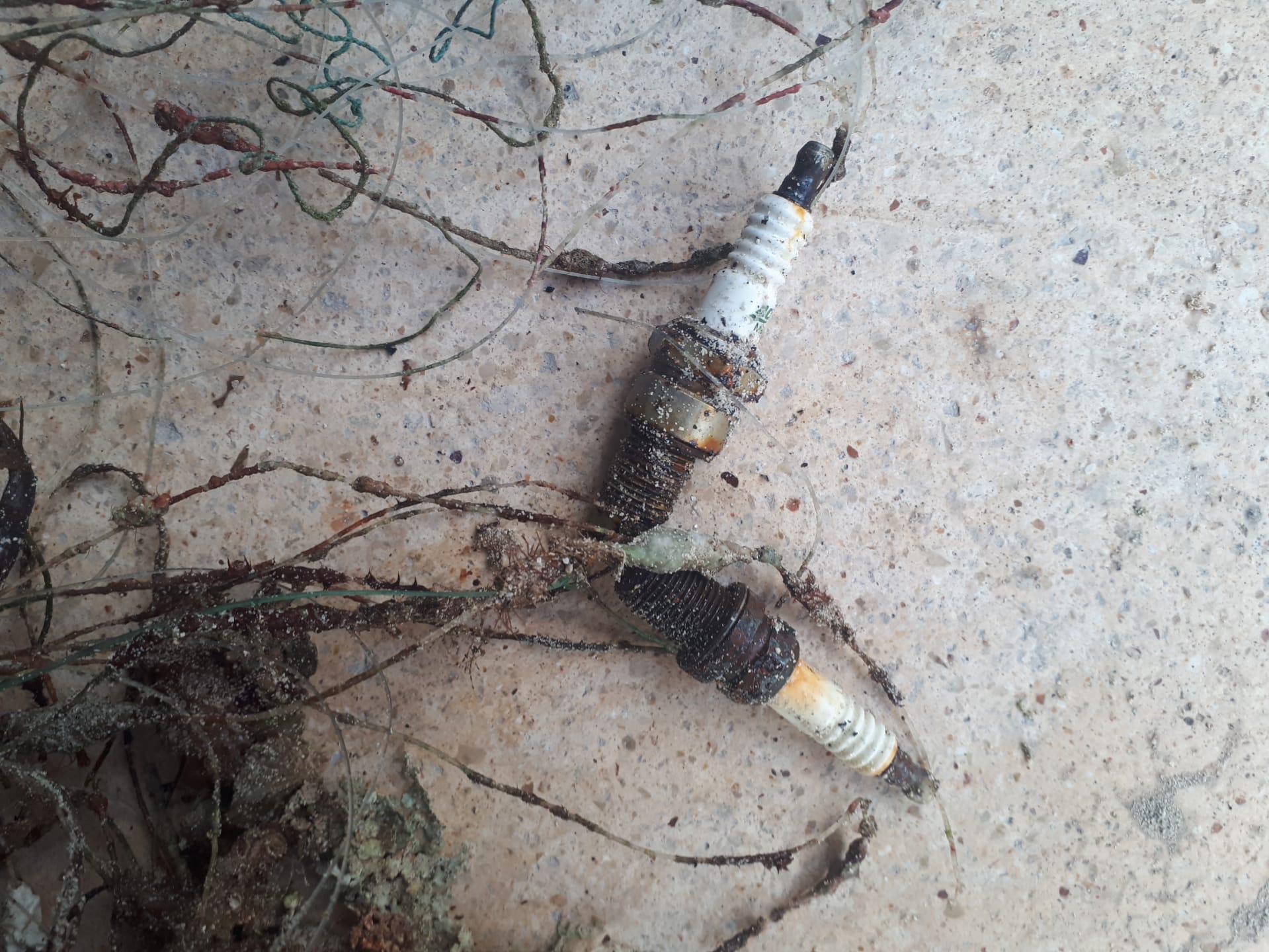
Entangled Help


Use the vertical tabs below to record any entangled animals you found of each type.

Mama Viña Wreck

sand
30

20.560918901717, -87.112040580047

sport fishing
Most divers stray on the wreck and can't go back down to clean up the fishing lines
Windy and harbour close
2
spark plug
Phocea Mexico
Attilio Falletta
1
8
1.00
32
29.00
27.00
estimated
1000.00
fishing lines
plastics
On
kilograms
I have debris data to report
Slight for waves 0.5 -1.25 meter high m2
meters
coral reef
1
Mexico
State\Province
Quintana Roo
City
Playa del Carmen
Map Help


Dive Location

If you know your survey site coordinates, enter them manually in decimal degrees using WGS84 Map Datum. Use the minus sign for latitudes south of the equator and longitudes west of the Prime Meridian to 180 degrees.

If you do not know your survey site coordinates, click the “Map Location” tab to use the map to zoom into your survey site and drop the pin on the map to fall within your survey dive site in the water (not on land or the beach). Ensure you zoom in as much as possible to ensure data accuracy.
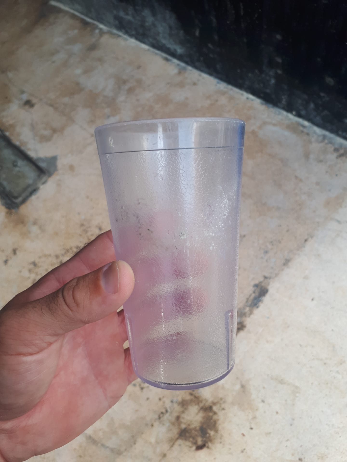
Entangled Help


Use the vertical tabs below to record any entangled animals you found of each type.

Mama Vina Wreck

sand
120

20.566207443468, -87.119574537272

Sport fishing area
Windy and harbour close for few days
Phocéa
Attilio Falletta
8
1.00
96
29.00
27.00
estimated
200.00
fishing line
plastics
On
kilograms
I have debris data to report
Slight for waves 0.5 -1.25 meter high m2
meters
coral reef
Mexico
State\Province
Quintana Roo
City
Playa del Carmen
Map Help


Dive Location

If you know your survey site coordinates, enter them manually in decimal degrees using WGS84 Map Datum. Use the minus sign for latitudes south of the equator and longitudes west of the Prime Meridian to 180 degrees.

If you do not know your survey site coordinates, click the “Map Location” tab to use the map to zoom into your survey site and drop the pin on the map to fall within your survey dive site in the water (not on land or the beach). Ensure you zoom in as much as possible to ensure data accuracy.
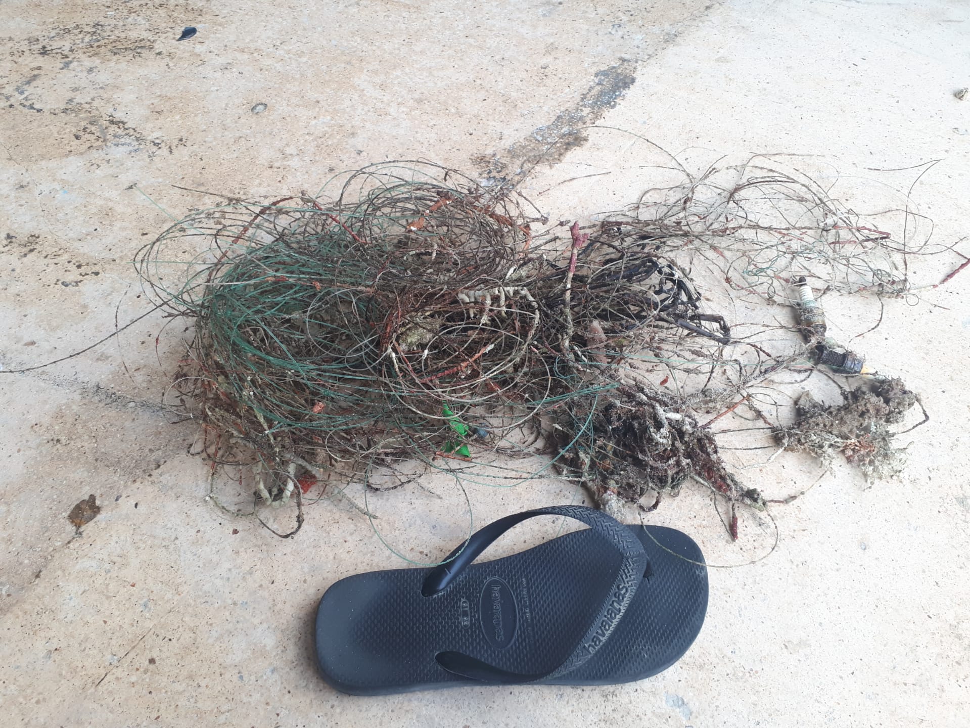
Entangled Help


Use the vertical tabs below to record any entangled animals you found of each type.

Mama Vina

sand
120

20.572484285465, -87.119618804616

nada
nada
Windy and harbour closed
Phocea Mexico
Attilio Falleta
8
1.00
96
29.00
27.00
estimated
200.00
On
kilograms
Our Survey Site was free of debris
Slight for waves 0.5 -1.25 meter high m2
meters
coral reef
Mexico
State\Province
Quintana Roo
City
Playa del Carmen
Map Help


Dive Location

If you know your survey site coordinates, enter them manually in decimal degrees using WGS84 Map Datum. Use the minus sign for latitudes south of the equator and longitudes west of the Prime Meridian to 180 degrees.

If you do not know your survey site coordinates, click the “Map Location” tab to use the map to zoom into your survey site and drop the pin on the map to fall within your survey dive site in the water (not on land or the beach). Ensure you zoom in as much as possible to ensure data accuracy.

Entangled Help


Use the vertical tabs below to record any entangled animals you found of each type.

Mama vina

coral

20.555693084096, -87.087213602765

fishing in the area
windy, harbour closed
phocea
attilio
8
1.00
96
29.00
27.00
estimated
200.00
fishing line
plastic
On
kilograms
I have debris data to report
Slight for waves 0.5 -1.25 meter high m2
meters
coral reef
Mexico
State\Province
quintana roo
City
playa del carmen
Map Help


Dive Location

If you know your survey site coordinates, enter them manually in decimal degrees using WGS84 Map Datum. Use the minus sign for latitudes south of the equator and longitudes west of the Prime Meridian to 180 degrees.

If you do not know your survey site coordinates, click the “Map Location” tab to use the map to zoom into your survey site and drop the pin on the map to fall within your survey dive site in the water (not on land or the beach). Ensure you zoom in as much as possible to ensure data accuracy.

Entangled Help


Use the vertical tabs below to record any entangled animals you found of each type.

Mama viña wreck

sand
5

20.572070092938, -87.112308761634

Windy and harbour close
Phocea mexico
Attilio falletta
8
1.00
96
29.00
27.00
estimated
200.00
On
kilograms
I have debris data to report
Slight for waves 0.5 -1.25 meter high m2
meters
coral reef
1
Mexico
State\Province
Quintana Roo
City
Playa del Carmen
Map Help


Dive Location

If you know your survey site coordinates, enter them manually in decimal degrees using WGS84 Map Datum. Use the minus sign for latitudes south of the equator and longitudes west of the Prime Meridian to 180 degrees.

If you do not know your survey site coordinates, click the “Map Location” tab to use the map to zoom into your survey site and drop the pin on the map to fall within your survey dive site in the water (not on land or the beach). Ensure you zoom in as much as possible to ensure data accuracy.

Entangled Help


Use the vertical tabs below to record any entangled animals you found of each type.

Mama Vina Wreck

coral
120

20.576926768878, -87.117891502072

windy, harbour closed
Phocea Mexico
Attilio Falletta
8
1.00
96
29.00
27.00
estimated
200.00
On
kilograms
I have debris data to report
Slight for waves 0.5 -1.25 meter high m2
meters
coral reef
Mexico
State\Province
Quintana Roo
City
Playa del Carmen
Map Help


Dive Location

If you know your survey site coordinates, enter them manually in decimal degrees using WGS84 Map Datum. Use the minus sign for latitudes south of the equator and longitudes west of the Prime Meridian to 180 degrees.

If you do not know your survey site coordinates, click the “Map Location” tab to use the map to zoom into your survey site and drop the pin on the map to fall within your survey dive site in the water (not on land or the beach). Ensure you zoom in as much as possible to ensure data accuracy.

Entangled Help


Use the vertical tabs below to record any entangled animals you found of each type.

North North Dry Rocks

0
0
0
0

25.128587469977, -80.36203513468

0
0
0
coral
0
0
0
0
0
No
No
Na
Rubber piece
Sunny
4
0
0
0
0
0
0
0
0
0
0
0
0
0
0
0
0
0
0
0
Rope
Rainbow Reef Dive Center
Jo Barendse
0
0
0
0
0
0
0
0
0
0
0
0
0
0
0
0
0
0
0
2
0
0
0
0
0
0
0
0
0
0
0
0
0
0
0
20.00
40
45.00
20.00
0
estimated
0
0
0
0
22688.00
0
0
0
0
1
Rope
Wood
0
On
pounds
0
I have debris data to report
2
0
0
Smooth (wavelets) for waves 0.1 - 0.5 meter high
14
0
0
0
0
0
0
ft2
0
0
feet
coral reef
0
0
0
0
0
0
0
0
0
0
0
0
0
0
0
0
0
0
0
0
0
0
0
0
0
0
0
0
United States
State\Province
FL
City
Key Largo
Map Help


Dive Location

If you know your survey site coordinates, enter them manually in decimal degrees using WGS84 Map Datum. Use the minus sign for latitudes south of the equator and longitudes west of the Prime Meridian to 180 degrees.

If you do not know your survey site coordinates, click the “Map Location” tab to use the map to zoom into your survey site and drop the pin on the map to fall within your survey dive site in the water (not on land or the beach). Ensure you zoom in as much as possible to ensure data accuracy.

Entangled Help


Use the vertical tabs below to record any entangled animals you found of each type.

Subscribe to