Mill Cove Bedford Marina
0
0
0
0
44.712562225842, -63.670966440226
3
0
1
other
0
1
0
3
0
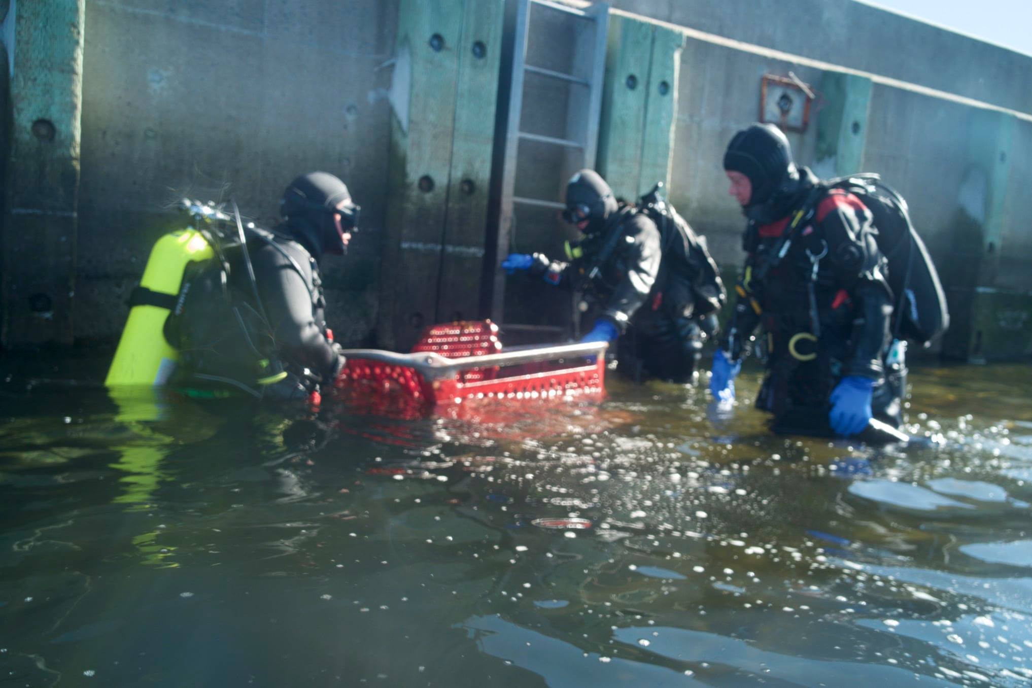
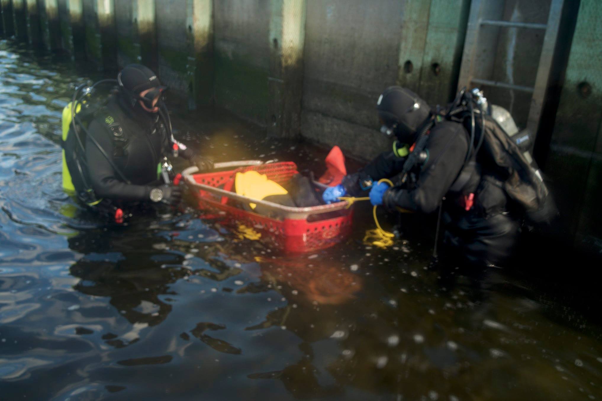
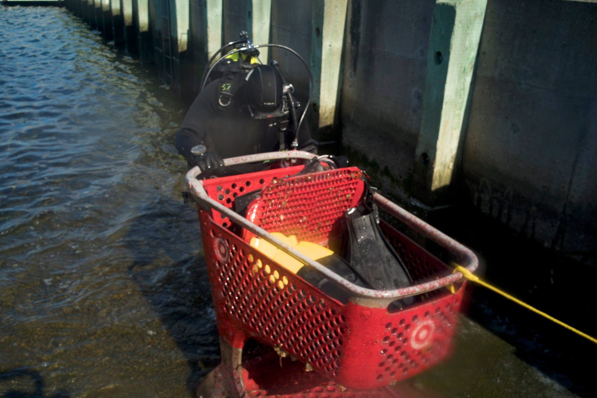
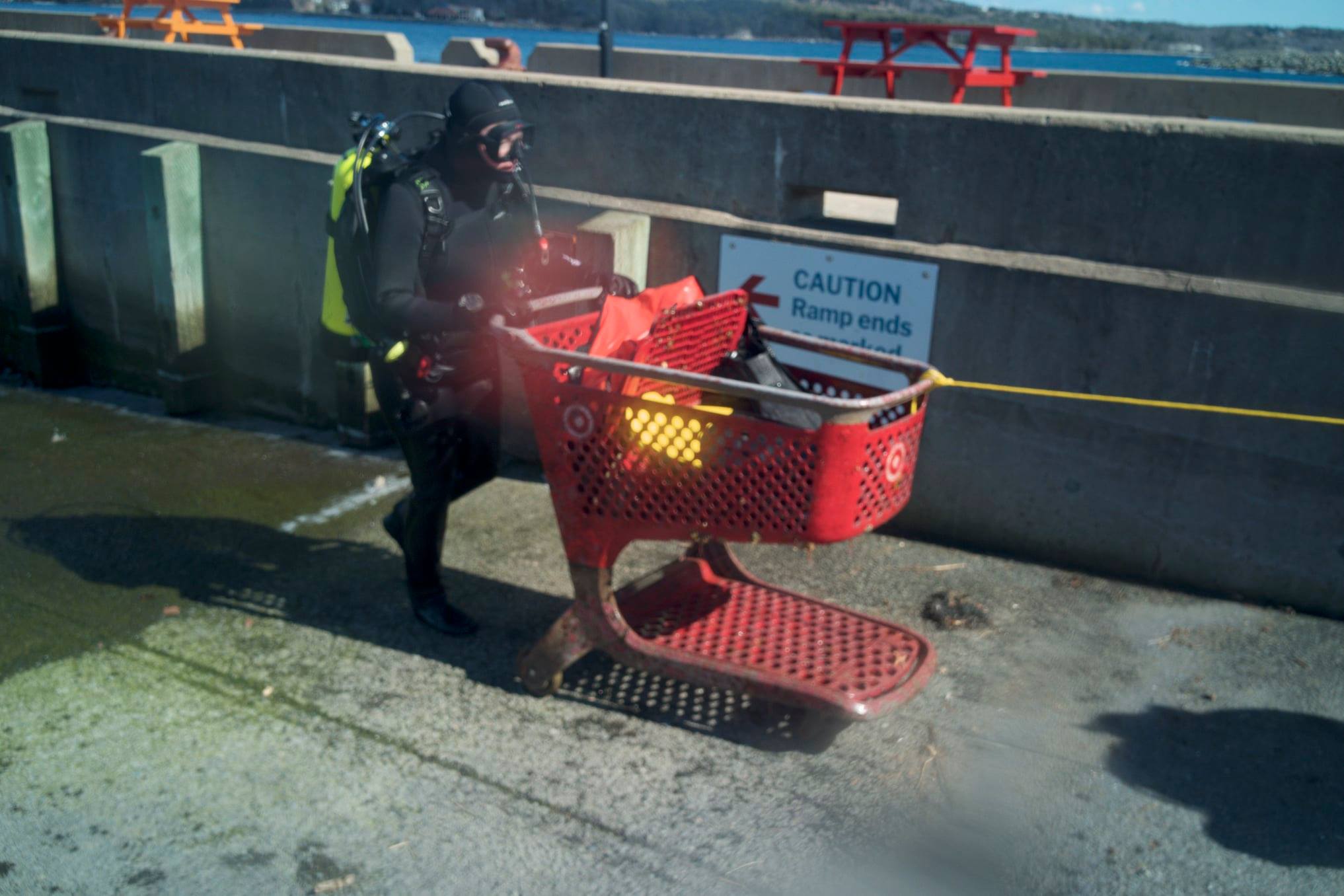
Busy marine
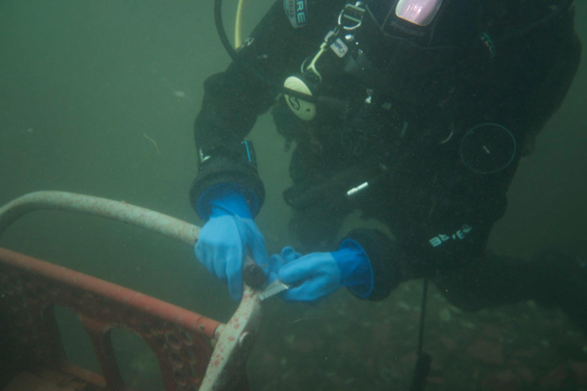
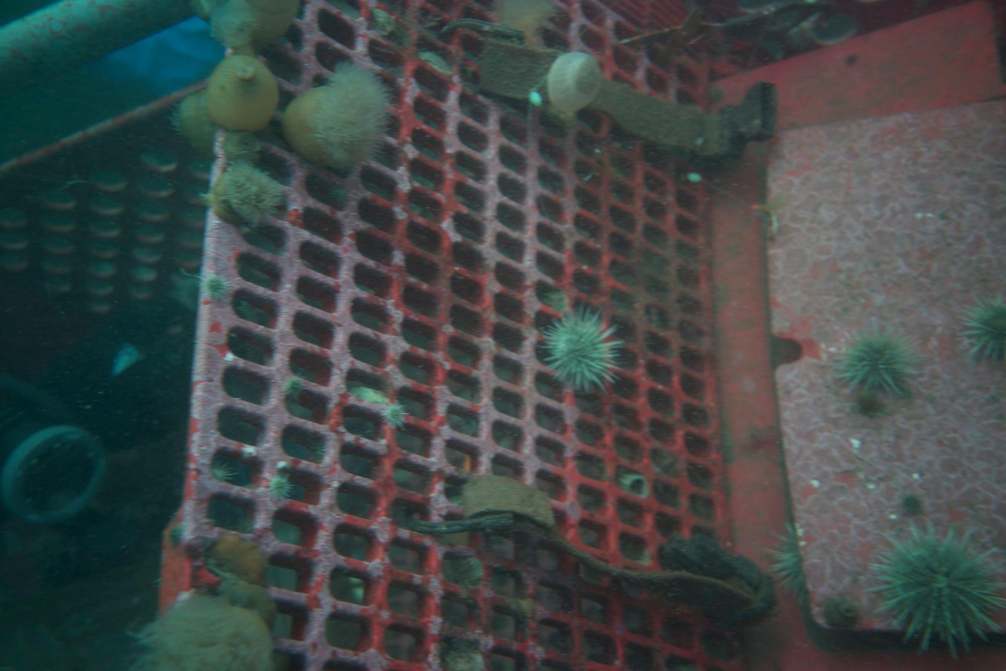
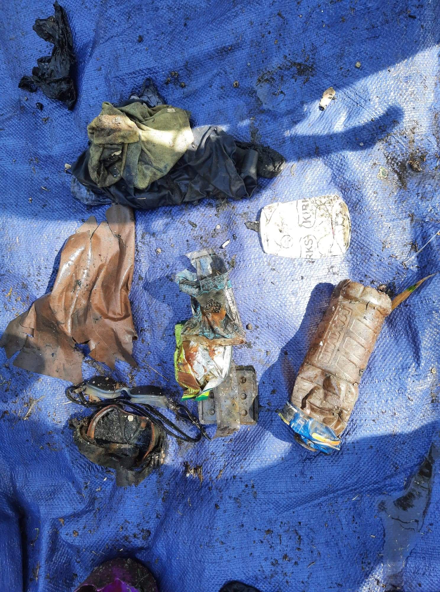
Some items shouldn't be removed due to marine life growing on it.
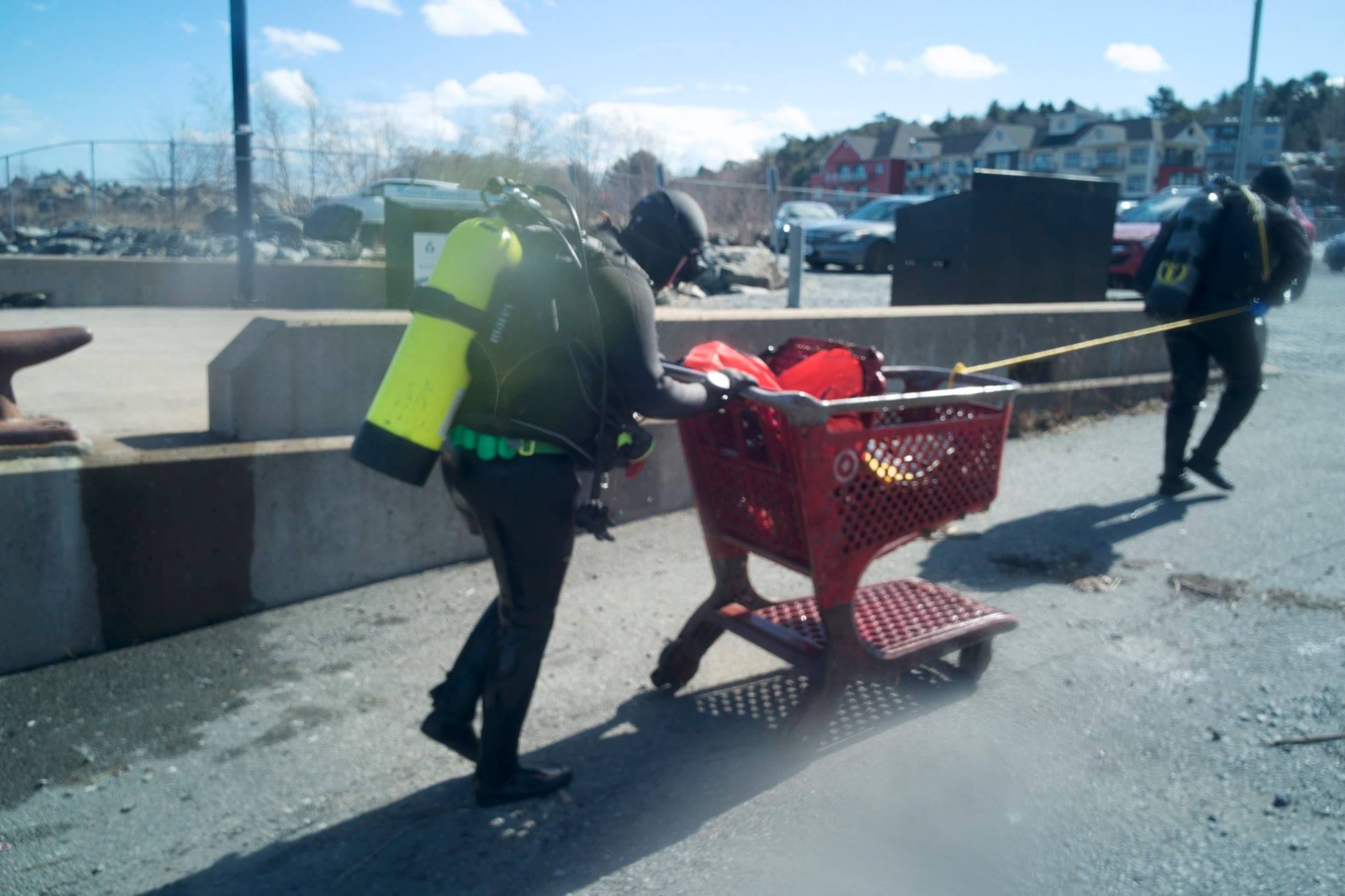
Target shopping Cart that was left as it has a large amount of sea life growing off of it and marine life hanging out at it. Also a large 100 canvas that would be difficult to remove do to silt out/marine life living on it and fishing hooks. Unable to remove two vary large tires due to size.
3
1
1
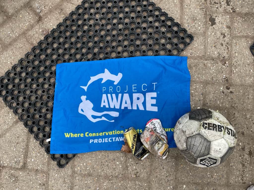
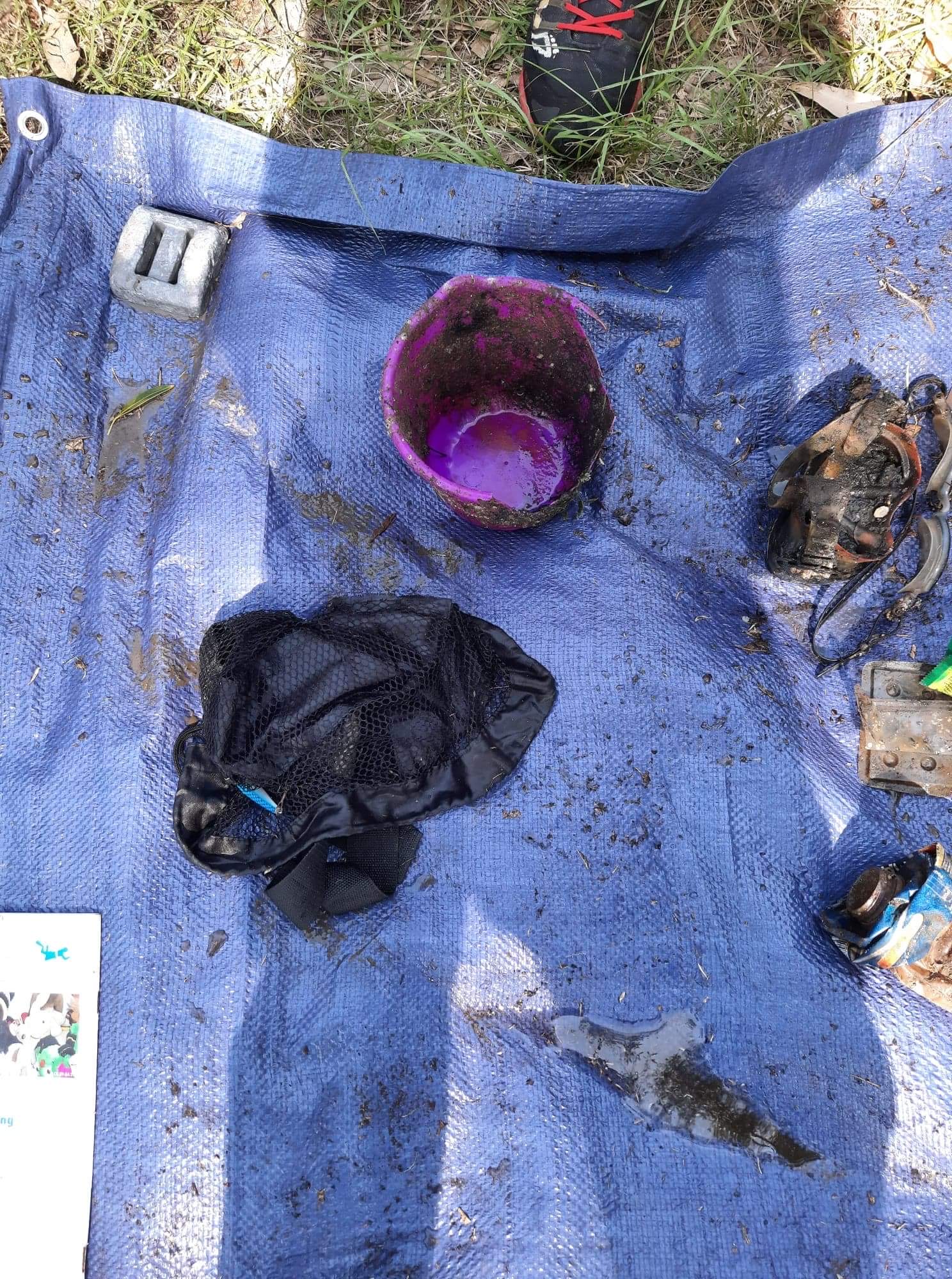
3 sets of glasses/sunglasses
1 iphone
Hard drive
East Coast Scuba & Watersports
Tracy Gregory
0
0
0
0
0
0
0
0
0
0
0
0
0
0
0
0
0
0
3
0
0
1
0
0
1
0
0
0
0
2.00
53
41.00
20.00
0
measured
0
0
350.00
On
pounds
I have debris data to report
0
Calm (glassy to rippled) for waves 0 – 0.1 meter high
ft2


feet
rocky reef
0
0
0
0
3
0
0
State\Province
Nova Scotia
City
Bedford
Map Help
Dive Location
If you know your survey site coordinates, enter them manually in decimal degrees using WGS84 Map Datum. Use the minus sign for latitudes south of the equator and longitudes west of the Prime Meridian to 180 degrees.
If you do not know your survey site coordinates, click the “Map Location” tab to use the map to zoom into your survey site and drop the pin on the map to fall within your survey dive site in the water (not on land or the beach). Ensure you zoom in as much as possible to ensure data accuracy.
Entangled Help
Use the vertical tabs below to record any entangled animals you found of each type.
Dominant Substrate Other
Muscles and sea urhines