Mama Viña
sand
 Mexico
7
20.550790106002, -87.112584951806
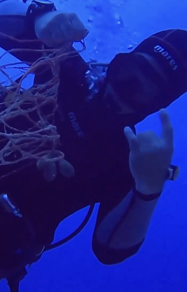
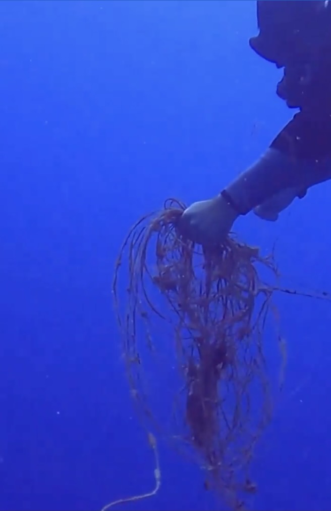
Juste after Mama Viña wreck on the sea bottom there is plenty of fishing lines, no one takes them out because we spend time on the wreck then it's too late and too deep to spend time cleaning the reef.
It's a fishing area and also sport fishing for tourists
Very good surface condition, normal curent underwater for this dive site
Phocea Mexico
Attilio Falletta
4
1.00
44
28.00
25.00
1
estimated
3
80.00
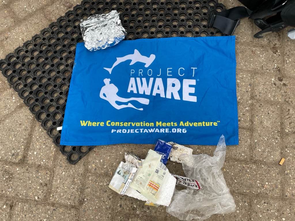
fishing lines
plastic bags
foam cups
On
kilograms
I have debris data to report
Calm (glassy to rippled) for waves 0 – 0.1 meter high
m2
meters
rocky reef
State\Province
Quintana Roo
City
Playa del Carmen
Map Help
Dive Location
If you know your survey site coordinates, enter them manually in decimal degrees using WGS84 Map Datum. Use the minus sign for latitudes south of the equator and longitudes west of the Prime Meridian to 180 degrees.
If you do not know your survey site coordinates, click the “Map Location” tab to use the map to zoom into your survey site and drop the pin on the map to fall within your survey dive site in the water (not on land or the beach). Ensure you zoom in as much as possible to ensure data accuracy.
Entangled Help