Maehaad Reef
26
114
8
10.085694, 99.824335
1
1
sand
142
3
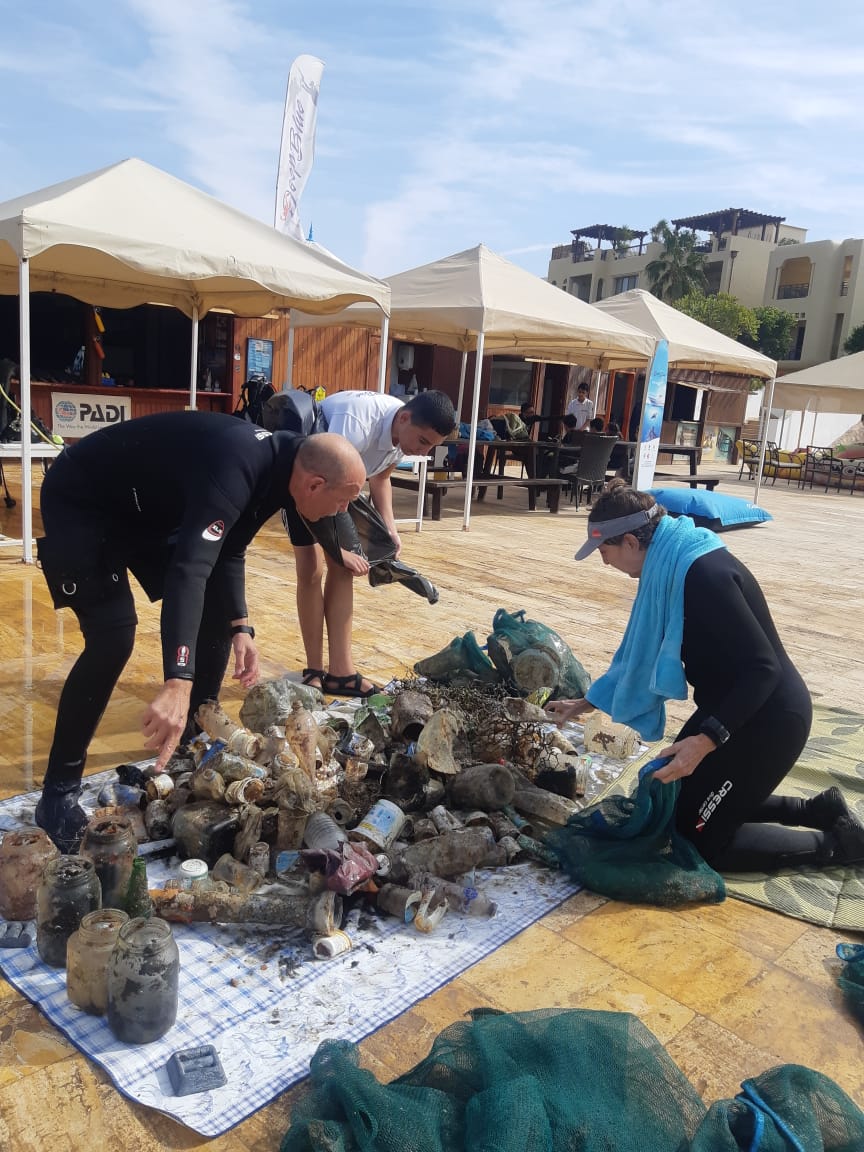
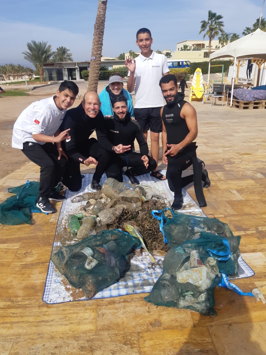
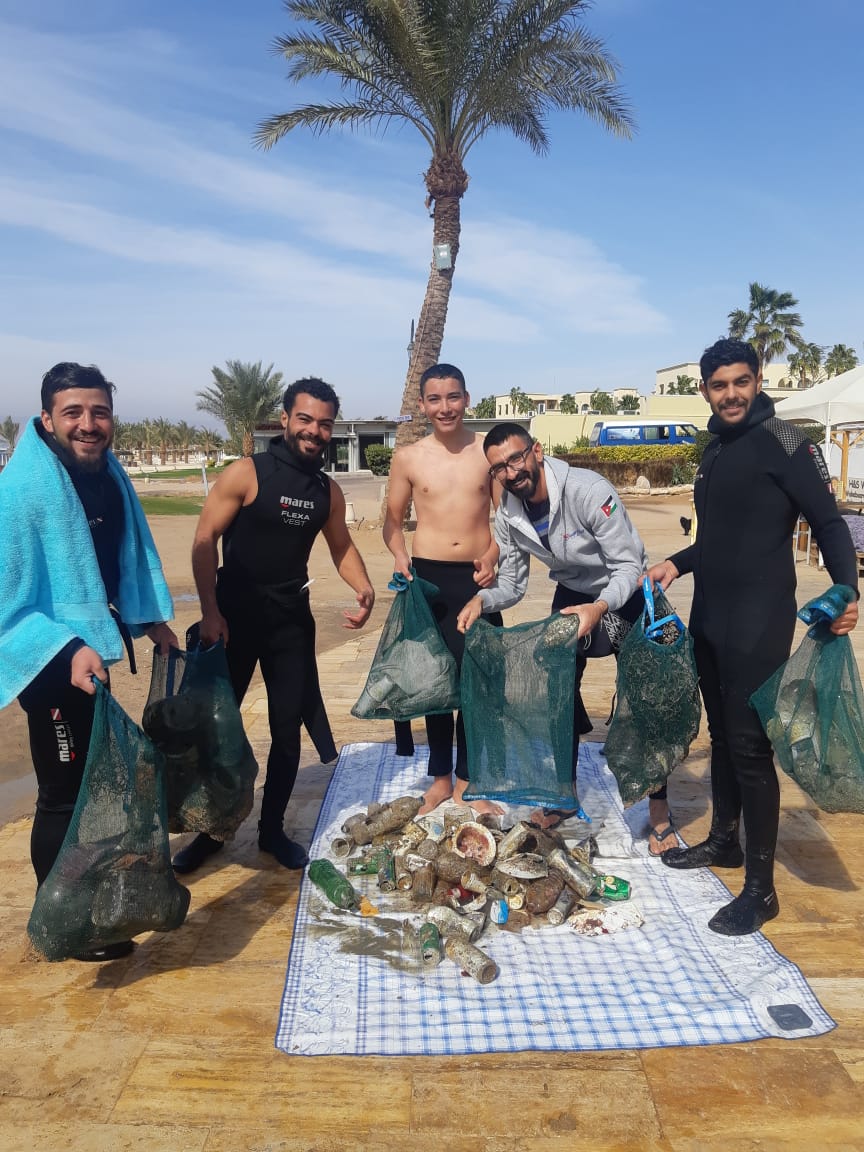
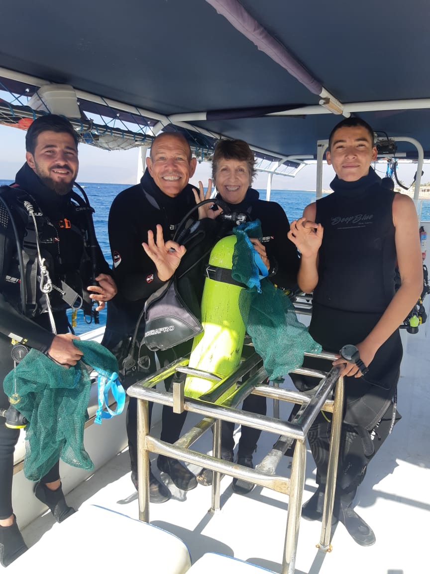
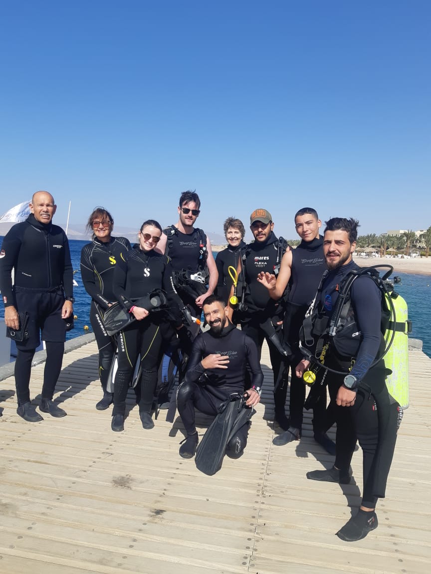
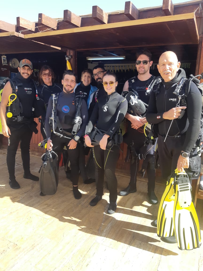
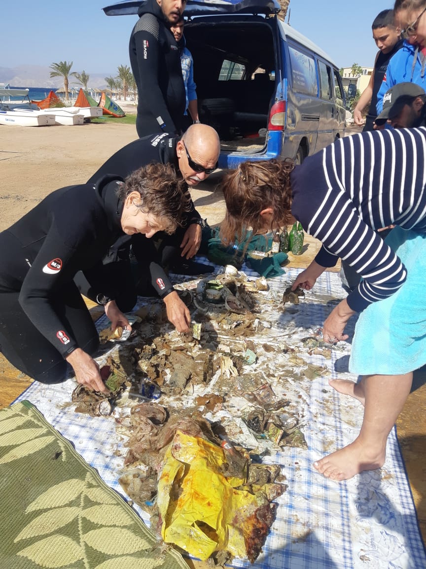
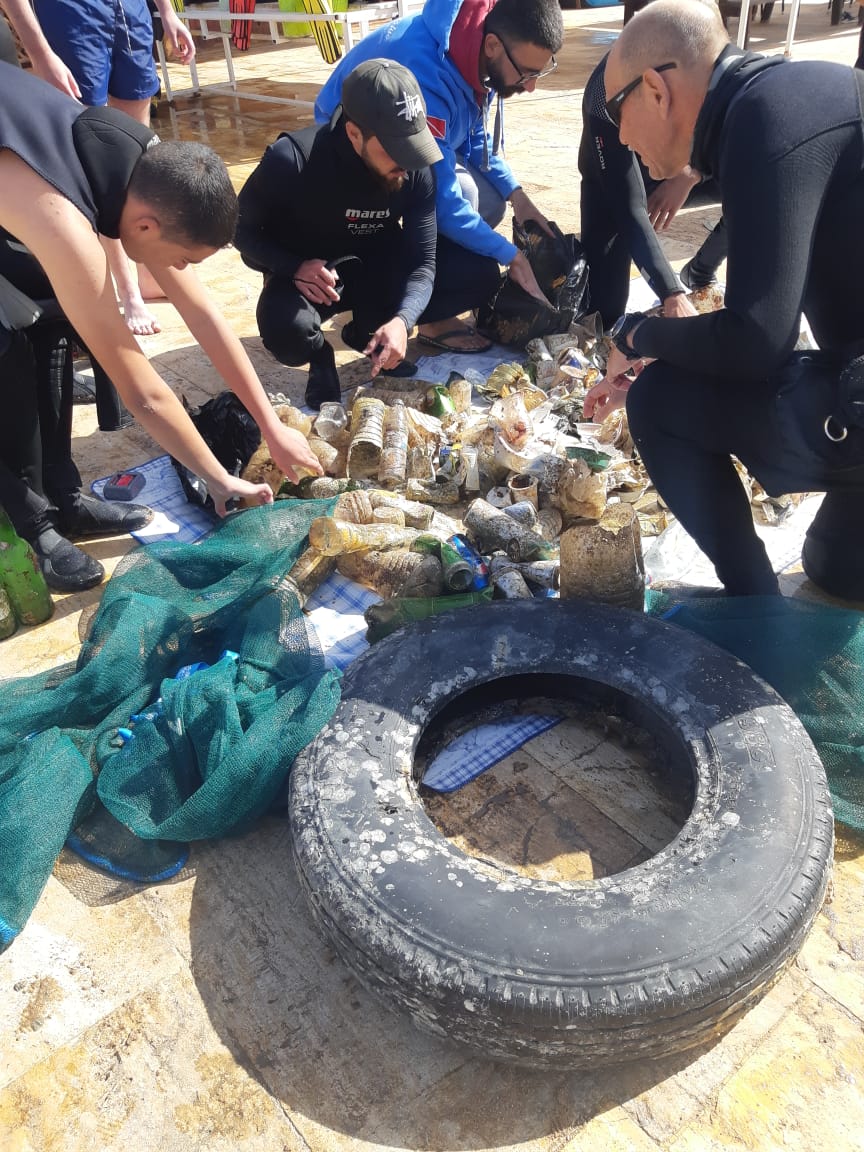
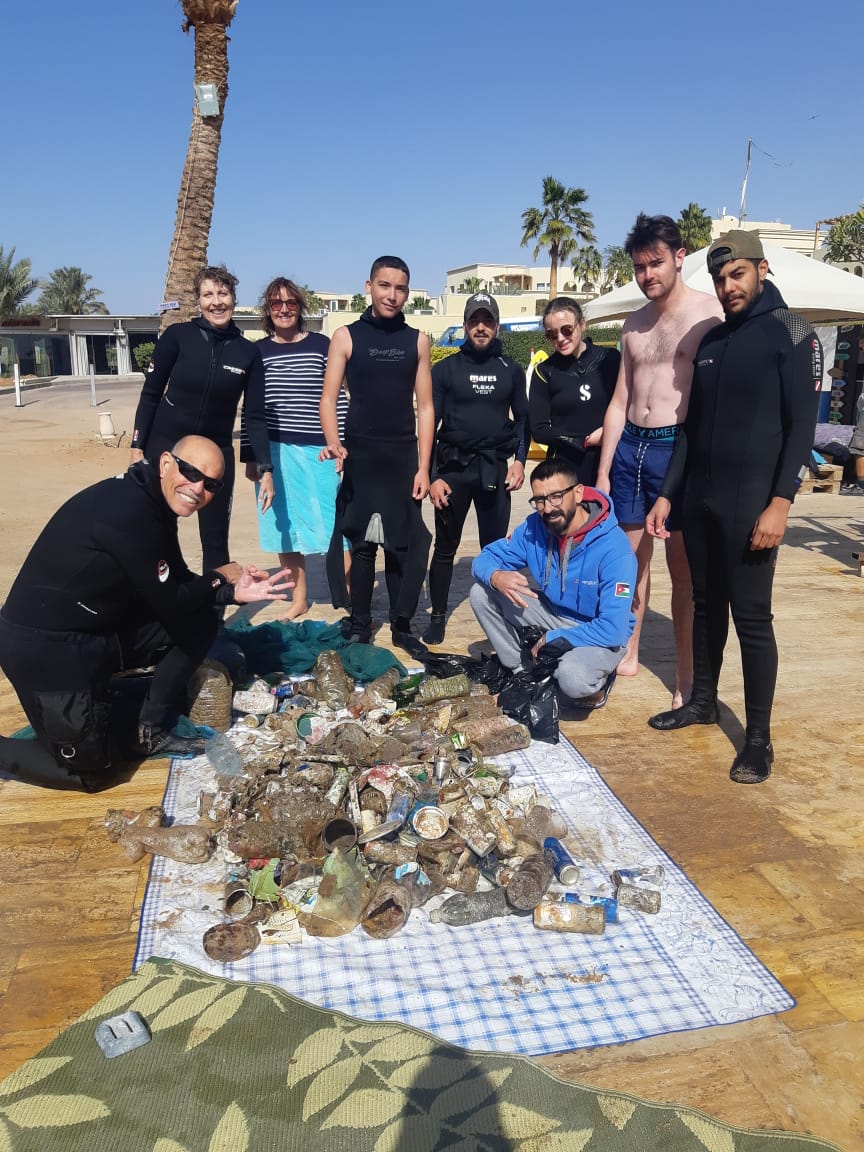
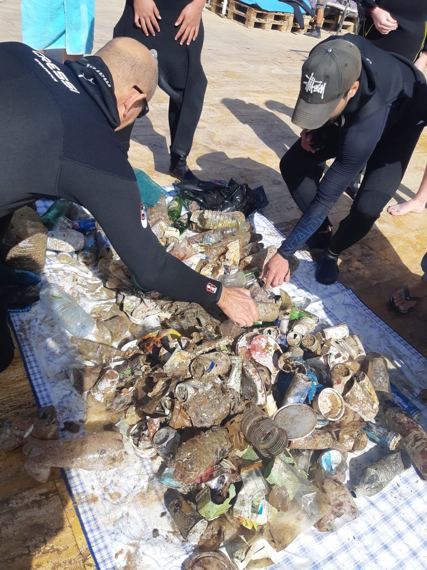
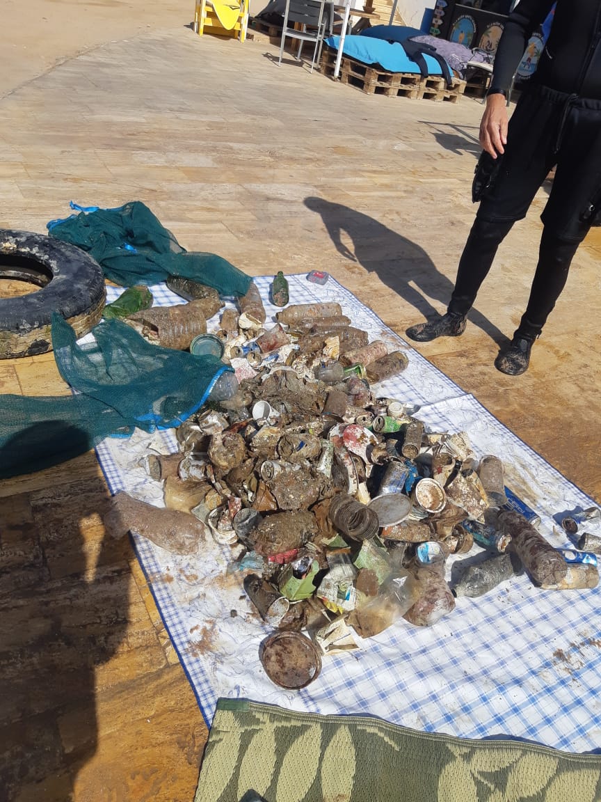
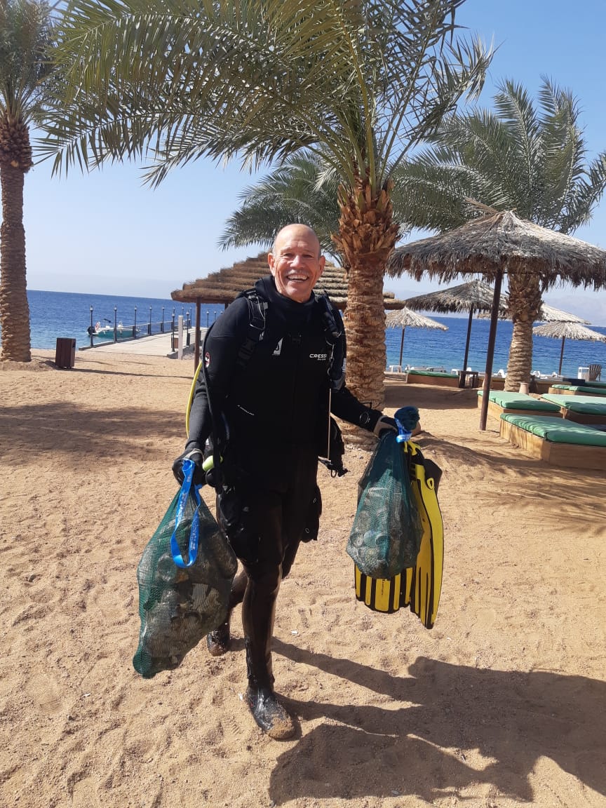
5th time of doing the same area, noticeably cleaner and seems to be more marine activity. Still finding little pockets of buried debris though on closer inspection, most of which are plastic bags which have been there ages. In our team of 6, 2 of us stayed in the original area whilst the others expanded the search area :-D SUCH FUN!
Bilge pump
Sunshine, calm & good viz
1
1
1
1
Bilge Pump
Torch
Plastic Matting
Boat Engine Cover
Eco Koh Tao
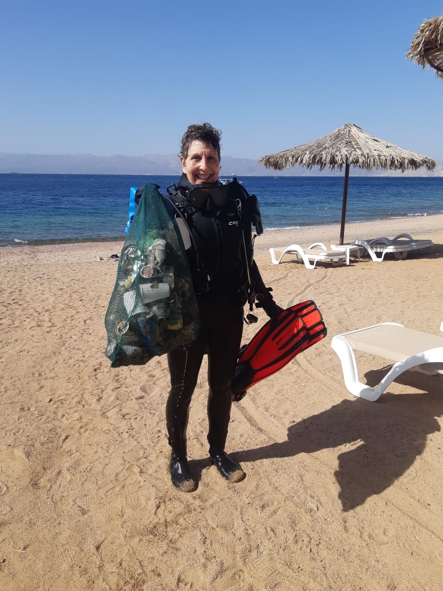
Jennifer Dowling
12
3
26
4
2
1
1
6
2
26
1
3
30.23
62
4.00
1.00
2
measured
45.00
1
2
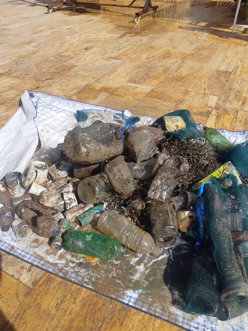
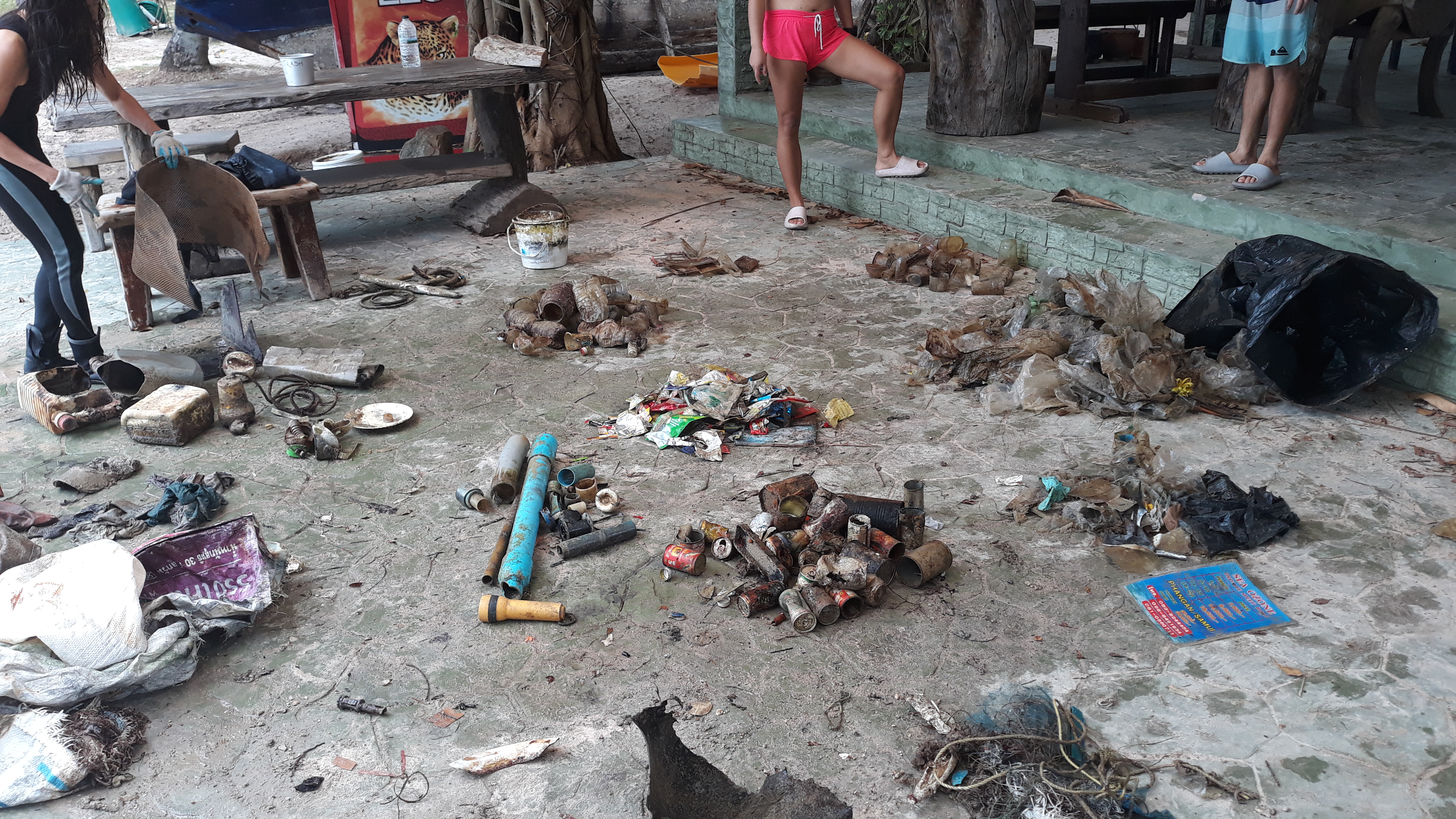
Plastic Bags
Plastic fragments
Wrappers
3
On
kilograms
I have debris data to report
Calm (glassy to rippled) for waves 0 – 0.1 meter high
1
PVC pipe
Released Unharmed
blenny
crab
Released Unharmed
1
1
Plastic bottle
3
1
6
m2
24
1
meters
coral reef
15
3
6
97
38
1
2
State\Province
Surat Thani
City
Koh Tao
Map Help
Dive Location
If you know your survey site coordinates, enter them manually in decimal degrees using WGS84 Map Datum. Use the minus sign for latitudes south of the equator and longitudes west of the Prime Meridian to 180 degrees.
If you do not know your survey site coordinates, click the “Map Location” tab to use the map to zoom into your survey site and drop the pin on the map to fall within your survey dive site in the water (not on land or the beach). Ensure you zoom in as much as possible to ensure data accuracy.
Entangled Help