Menu

Acropora Reef

4
sand

27.909483407311, 34.327872209167

Holiday resort beachfront activities.
N/A
Wind slight North Westerly veering North Easterly 4 to 7 knots, sea state calm to moderate
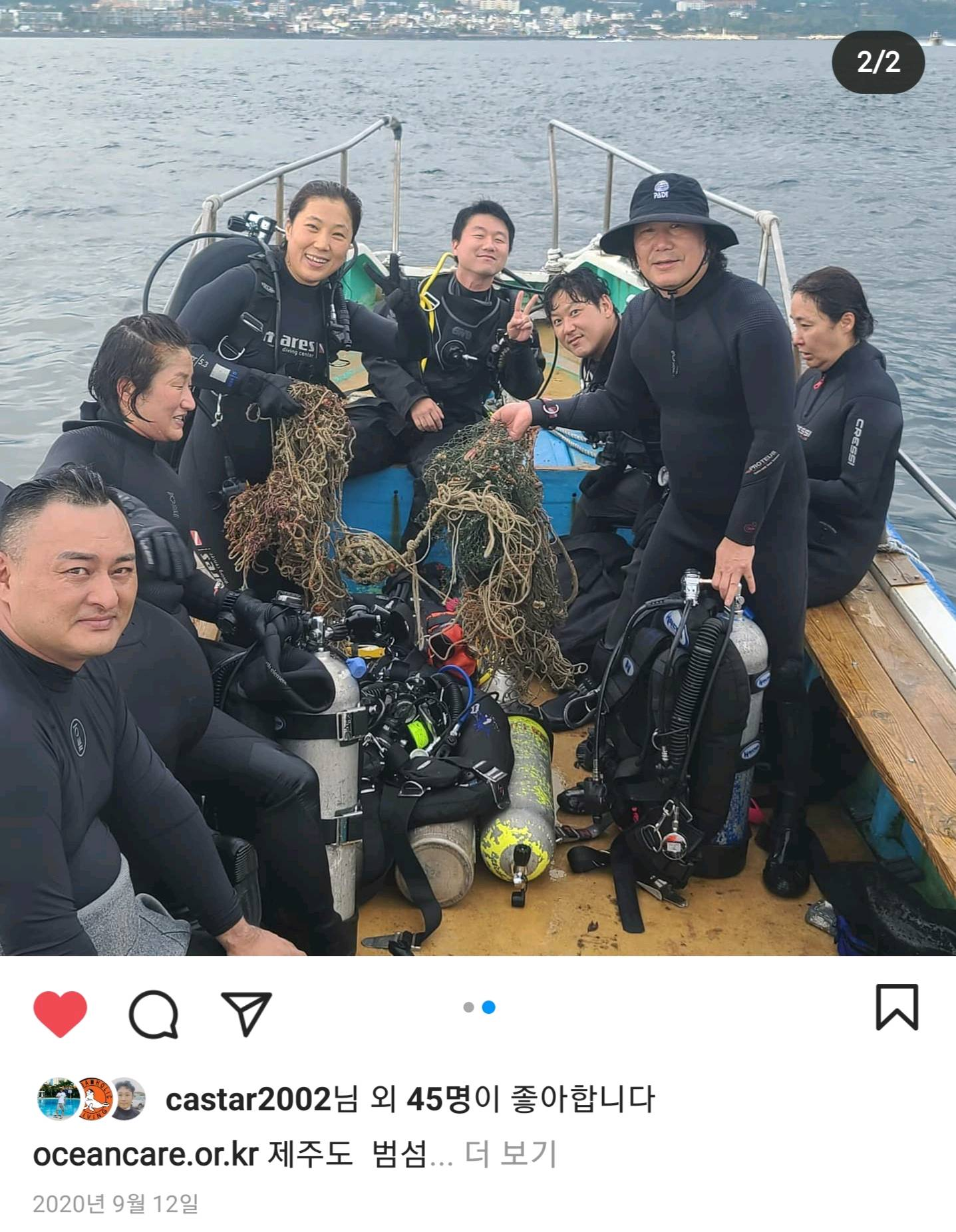
Red Sea Diving College
Jan Ziolo
1
2
0.25
57
23.80
0.50
estimated
450.00
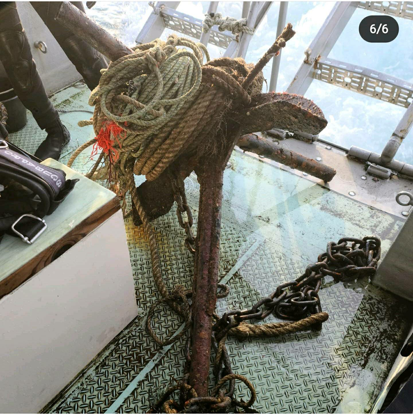
Plastic bag fragments
On
kilograms
I have debris data to report
Calm (glassy to rippled) for waves 0 – 0.1 meter high m2
meters
coral reef
Egypt
State\Province
Sinai
City
Sharm El-Sheikh
Map Help


Dive Location

If you know your survey site coordinates, enter them manually in decimal degrees using WGS84 Map Datum. Use the minus sign for latitudes south of the equator and longitudes west of the Prime Meridian to 180 degrees.

If you do not know your survey site coordinates, click the “Map Location” tab to use the map to zoom into your survey site and drop the pin on the map to fall within your survey dive site in the water (not on land or the beach). Ensure you zoom in as much as possible to ensure data accuracy.

Entangled Help


Use the vertical tabs below to record any entangled animals you found of each type.

ADS11 - Lago di Bracciano

6

42.1142041, 12.1760134

1
other
6
A.S.D. Pro Diving
Flavio Scotto d'Abusco
5
1
4
20
1
7
1
1
64.80
45
20.00
2.50
estimated
500.00
On
kilograms
I have debris data to report
8
Smooth (wavelets) for waves 0.1 - 0.5 meter high
1
m2
meters
other
4
1
1
3
8
4
8
Italy
State\Province
Italia\Roma
City
Roma
Map Help


Dive Location

If you know your survey site coordinates, enter them manually in decimal degrees using WGS84 Map Datum. Use the minus sign for latitudes south of the equator and longitudes west of the Prime Meridian to 180 degrees.

If you do not know your survey site coordinates, click the “Map Location” tab to use the map to zoom into your survey site and drop the pin on the map to fall within your survey dive site in the water (not on land or the beach). Ensure you zoom in as much as possible to ensure data accuracy.

Entangled Help


Use the vertical tabs below to record any entangled animals you found of each type.

Ecosystem Other
lake
Dominant Substrate Other
slime

Jeju

0
0
0
0

33.222388, 126.517341

0
0
0
rock
0
0
0
0
0
Sunny
1
Anchor
Yellow Submarine
Chang Gee Lee
0
0
0
0
0
0
0
0
0
0
0
0
0
0
0
0
0
0
0
3
0
0
0
0
0
0
0
0
0
0
0
0
0
0
0
0
45.00
35
35.00
18.00
0
measured
0
0
0
0
26250.30
0
0
0
0
0
0
On
kilograms
0
I have debris data to report
0
0
0
Smooth (wavelets) for waves 0.1 - 0.5 meter high
0
0
0
0
0
0
0
m2
0
0
meters
other
0
0
0
0
0
0
0
0
0
0
0
0
0
0
0
0
0
0
0
0
0
0
0
0
0
0
0
0
0
South Korea
State\Province
Jejudo
City
Seogwipo
Map Help


Dive Location

If you know your survey site coordinates, enter them manually in decimal degrees using WGS84 Map Datum. Use the minus sign for latitudes south of the equator and longitudes west of the Prime Meridian to 180 degrees.

If you do not know your survey site coordinates, click the “Map Location” tab to use the map to zoom into your survey site and drop the pin on the map to fall within your survey dive site in the water (not on land or the beach). Ensure you zoom in as much as possible to ensure data accuracy.

Entangled Help


Use the vertical tabs below to record any entangled animals you found of each type.

Jeju

0
0
0
0

33.225148, 126.51405

0
0
0
rock
0
0
0
0
0
Wind
Yellow Submarine
Chang Gee Lee
0
0
0
0
0
0
0
0
0
0
0
0
0
0
0
0
0
0
0
5
0
0
0
0
0
0
0
0
0
0
0
0
0
0
0
0
40.00
40
25.00
15.00
0
measured
0
0
0
0
46591.30
0
0
0
0
0
0
On
kilograms
0
I have debris data to report
0
0
0
Calm (glassy to rippled) for waves 0 – 0.1 meter high
0
0
0
0
0
0
0
m2
3
0
meters
other
0
0
0
0
0
0
0
0
0
0
0
0
0
0
0
0
0
0
0
0
0
0
0
0
0
0
0
0
0
South Korea
State\Province
Jejudo
City
Seogwipo
Map Help


Dive Location

If you know your survey site coordinates, enter them manually in decimal degrees using WGS84 Map Datum. Use the minus sign for latitudes south of the equator and longitudes west of the Prime Meridian to 180 degrees.

If you do not know your survey site coordinates, click the “Map Location” tab to use the map to zoom into your survey site and drop the pin on the map to fall within your survey dive site in the water (not on land or the beach). Ensure you zoom in as much as possible to ensure data accuracy.

Entangled Help


Use the vertical tabs below to record any entangled animals you found of each type.

Lamay Island

22.353187, 120.371718

coral

22.353247806884, 120.37228173926

big rope
WenHsiang Weng
2
1
4
15.00
35
15.00
5.00
3
estimated
1600.00
On
kilograms
I have debris data to report
Calm (glassy to rippled) for waves 0 – 0.1 meter high m2
meters
rocky reef
10
Taiwan
Map Help


Dive Location

If you know your survey site coordinates, enter them manually in decimal degrees using WGS84 Map Datum. Use the minus sign for latitudes south of the equator and longitudes west of the Prime Meridian to 180 degrees.

If you do not know your survey site coordinates, click the “Map Location” tab to use the map to zoom into your survey site and drop the pin on the map to fall within your survey dive site in the water (not on land or the beach). Ensure you zoom in as much as possible to ensure data accuracy.

Entangled Help


Use the vertical tabs below to record any entangled animals you found of each type.

Lamay Island

22.353187, 120.371718

coral

22.353044755161, 120.37177211372

2
4
1
5.00
40
17.00
5.00
2
estimated
2500.00
1
On
kilograms
I have debris data to report
Smooth (wavelets) for waves 0.1 - 0.5 meter high m2
meters
rocky reef
10
1
15
Taiwan
Map Help


Dive Location

If you know your survey site coordinates, enter them manually in decimal degrees using WGS84 Map Datum. Use the minus sign for latitudes south of the equator and longitudes west of the Prime Meridian to 180 degrees.

If you do not know your survey site coordinates, click the “Map Location” tab to use the map to zoom into your survey site and drop the pin on the map to fall within your survey dive site in the water (not on land or the beach). Ensure you zoom in as much as possible to ensure data accuracy.

Entangled Help


Use the vertical tabs below to record any entangled animals you found of each type.

Halik

2
1
1

-8.3383595000283, 116.03630152007

0
0
0
coral
0
1
0
2
0
Rain
No
Pocket
Rainy
0
0
0
0
0
0
0
0
0
0
0
0
0
0
0
0
0
0
0
0
Trawangan Dive Center
Chelsey
0
0
0
0
0
0
0
0
0
0
0
0
0
0
0
0
0
0
0
4
0
0
0
0
0
0
0
0
0
0
0
0
0
0
1.00
55
30.00
8.00
1
estimated
0
0
26600.00
0
0
0
0
0
Fishing line
Food wrappers
Plastic bags
0
On
kilograms
0
I have debris data to report
0
0
0
Slight for waves 0.5 -1.25 meter high
0
0
0
0
1
0
0
m2
0
0
meters
coral reef
0
0
0
0
0
0
0
0
0
0
0
0
3
0
0
0
0
0
0
0
0
0
0
0
0
0
0
0
Indonesia
State\Province
Nusa Tenggara Barat
City
Gili Trawangan
Map Help


Dive Location

If you know your survey site coordinates, enter them manually in decimal degrees using WGS84 Map Datum. Use the minus sign for latitudes south of the equator and longitudes west of the Prime Meridian to 180 degrees.

If you do not know your survey site coordinates, click the “Map Location” tab to use the map to zoom into your survey site and drop the pin on the map to fall within your survey dive site in the water (not on land or the beach). Ensure you zoom in as much as possible to ensure data accuracy.

Entangled Help


Use the vertical tabs below to record any entangled animals you found of each type.

Glass Beach

rock
3

35.233776063294, 139.73015724197

Drone
High winds, sunny, light snow.
`
Racing flying drone
Victoria Sengelman
2
8.00
70
18.00
8.00
estimated
900.00
On
pounds
I have debris data to report
Smooth (wavelets) for waves 0.1 - 0.5 meter high ft2
feet
rocky reef
Japan
State\Province
Kanagawa
City
Uraga
Map Help


Dive Location

If you know your survey site coordinates, enter them manually in decimal degrees using WGS84 Map Datum. Use the minus sign for latitudes south of the equator and longitudes west of the Prime Meridian to 180 degrees.

If you do not know your survey site coordinates, click the “Map Location” tab to use the map to zoom into your survey site and drop the pin on the map to fall within your survey dive site in the water (not on land or the beach). Ensure you zoom in as much as possible to ensure data accuracy.

Entangled Help


Use the vertical tabs below to record any entangled animals you found of each type.

Point Panic

0
0
0
0

21.291058, -157.859851

5
0
0
sand
0
0
0
100
0
Boat channel
Marine electrical box
Fair, calm seas
1
1
1
Marine conduit and cable
Marine electrical box/panel
Garden hose
ODA Hawaii
Glenn Roberts
0
0
0
0
0
0
0
0
0
0
0
0
0
0
0
0
0
2
0
2
0
0
0
0
0
0
2
0
0
0
0
0
0
0
0
0
50.00
60
25.00
10.00
0
estimated
0
0
0
15
100.00
0
0
0
0
0
Garden hose
Marine electrical box/panel
0
On
pounds
0
I have debris data to report
0
0
0
Smooth (wavelets) for waves 0.1 - 0.5 meter high
0
0
0
0
0
0
0
m2
0
0
feet
rocky reef
0
0
0
0
0
0
0
0
0
0
0
0
0
0
0
0
0
0
0
0
0
0
0
0
0
0
0
0
0
United States
State\Province
Hawaii
City
Honolulu
Map Help


Dive Location

If you know your survey site coordinates, enter them manually in decimal degrees using WGS84 Map Datum. Use the minus sign for latitudes south of the equator and longitudes west of the Prime Meridian to 180 degrees.

If you do not know your survey site coordinates, click the “Map Location” tab to use the map to zoom into your survey site and drop the pin on the map to fall within your survey dive site in the water (not on land or the beach). Ensure you zoom in as much as possible to ensure data accuracy.

Entangled Help


Use the vertical tabs below to record any entangled animals you found of each type.

ADS370 - Blue Bay The Wall & The Garden

102

12.134471, -68.984976

1
coral
4
100
Felicia Dolman #390958
41
2
1
17
1
1
25.00
45
30.00
2.00
estimated
12
500.00
6
On
kilograms
I have debris data to report
28
Calm (glassy to rippled) for waves 0 – 0.1 meter high
2
none
1
Released Unharmed
Seastar
13
m2
3
meters
coral reef
7
3
3
5
8
21
5
Netherlands Antilles
Map Help


Dive Location

If you know your survey site coordinates, enter them manually in decimal degrees using WGS84 Map Datum. Use the minus sign for latitudes south of the equator and longitudes west of the Prime Meridian to 180 degrees.

If you do not know your survey site coordinates, click the “Map Location” tab to use the map to zoom into your survey site and drop the pin on the map to fall within your survey dive site in the water (not on land or the beach). Ensure you zoom in as much as possible to ensure data accuracy.

Entangled Help


Use the vertical tabs below to record any entangled animals you found of each type.

Subscribe to