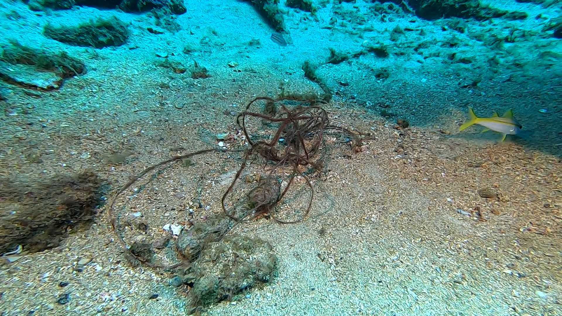
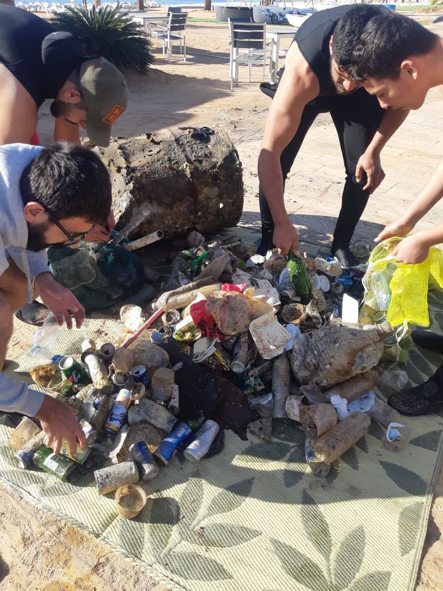
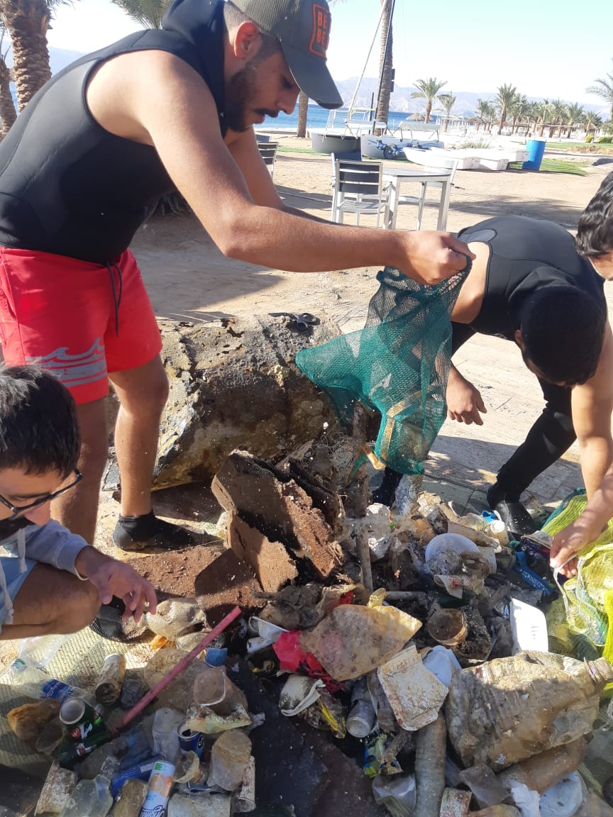
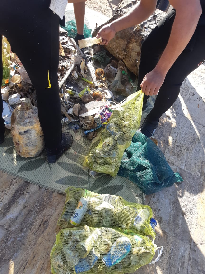
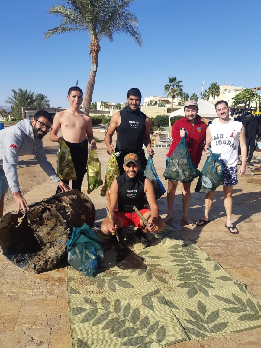
Big Rock
24
54
2
sand
1
16.074298564747, -86.94509508535
2 Category 5 Hurricanes in November
Diaper
Rainy
1
1
1
1
1
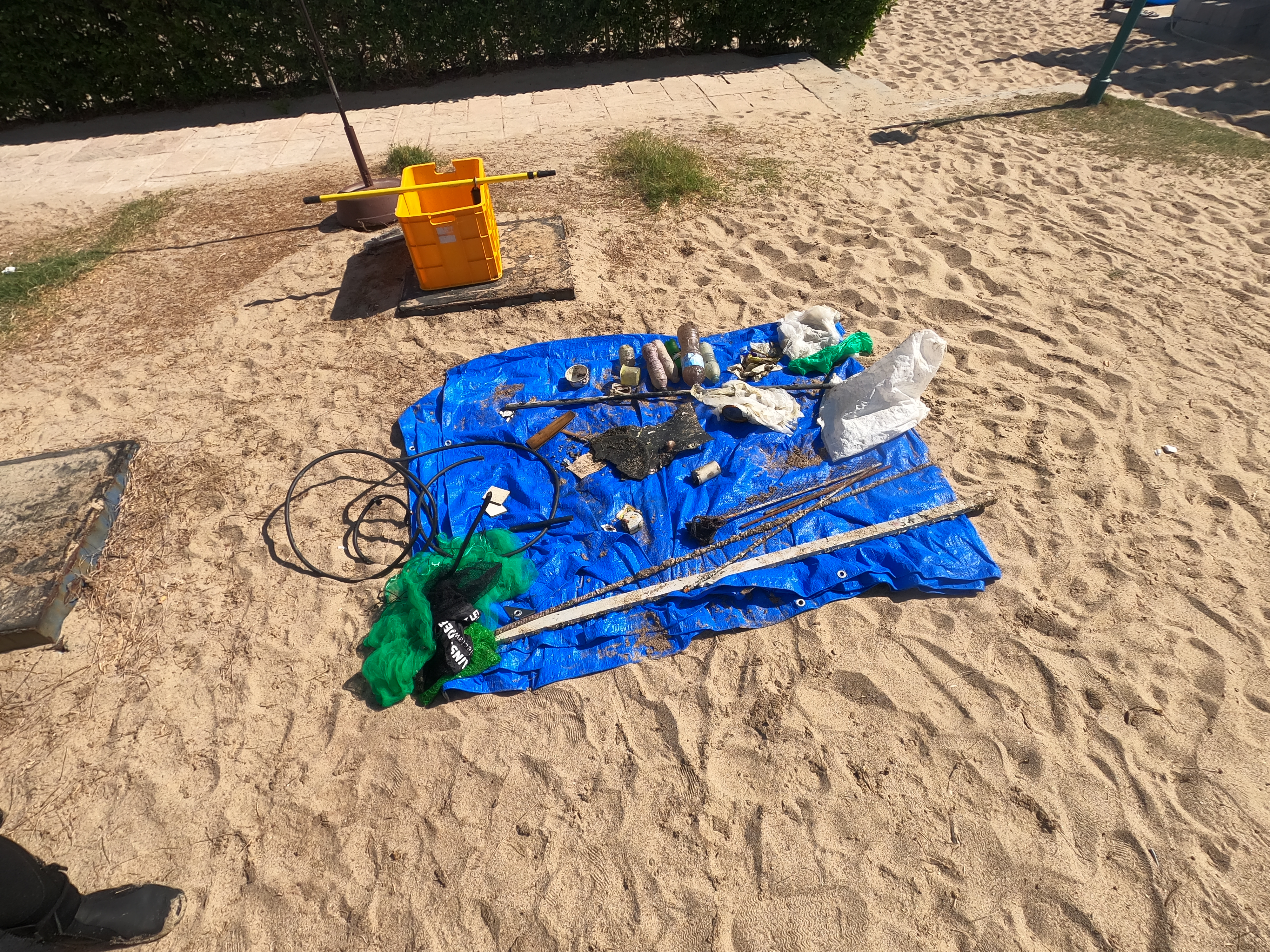
Single Use Face Mask
Plastic Pen
Plastic Deodorant Stick
Foam Cushion Piece
Baby Wipe
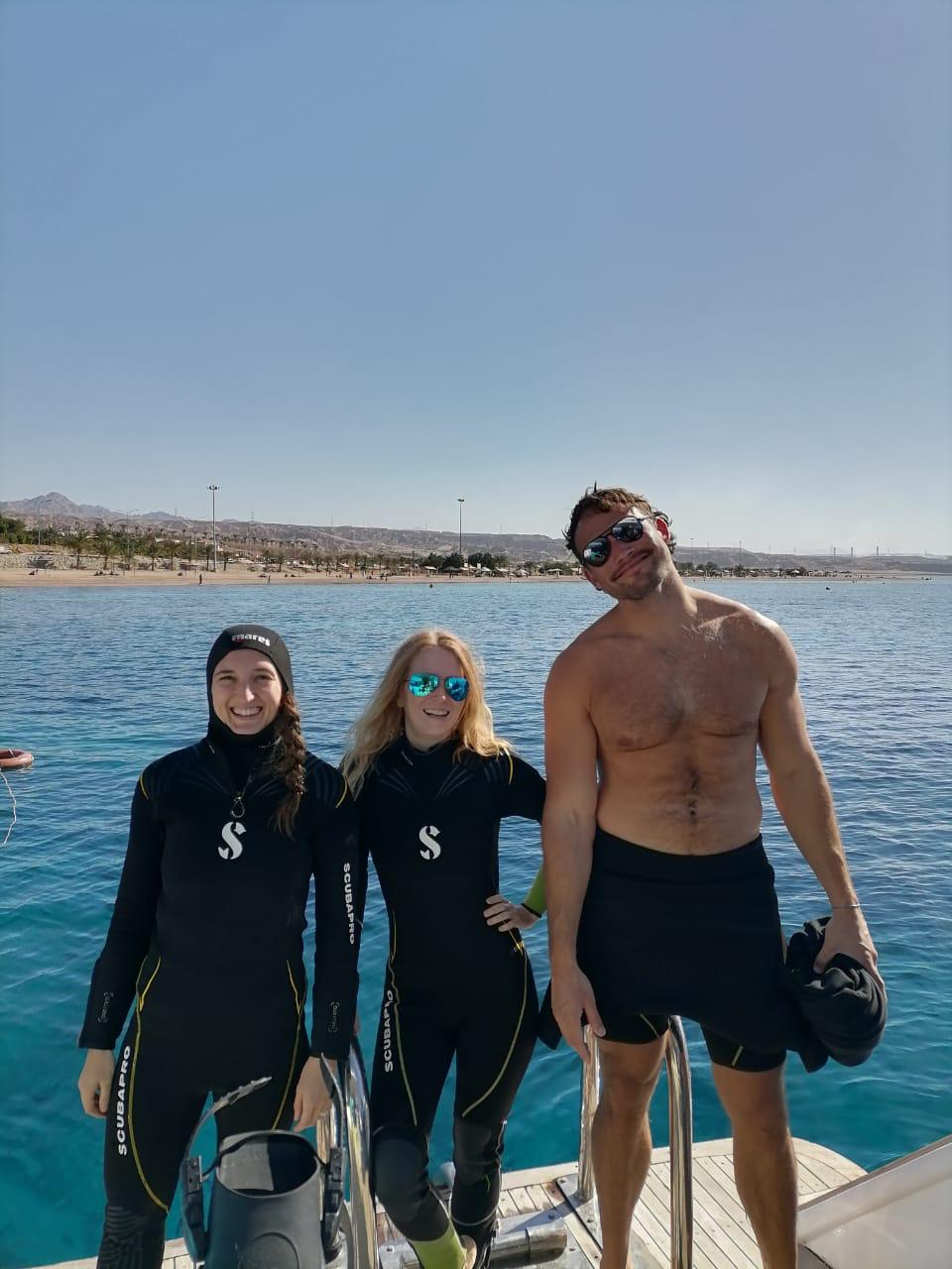
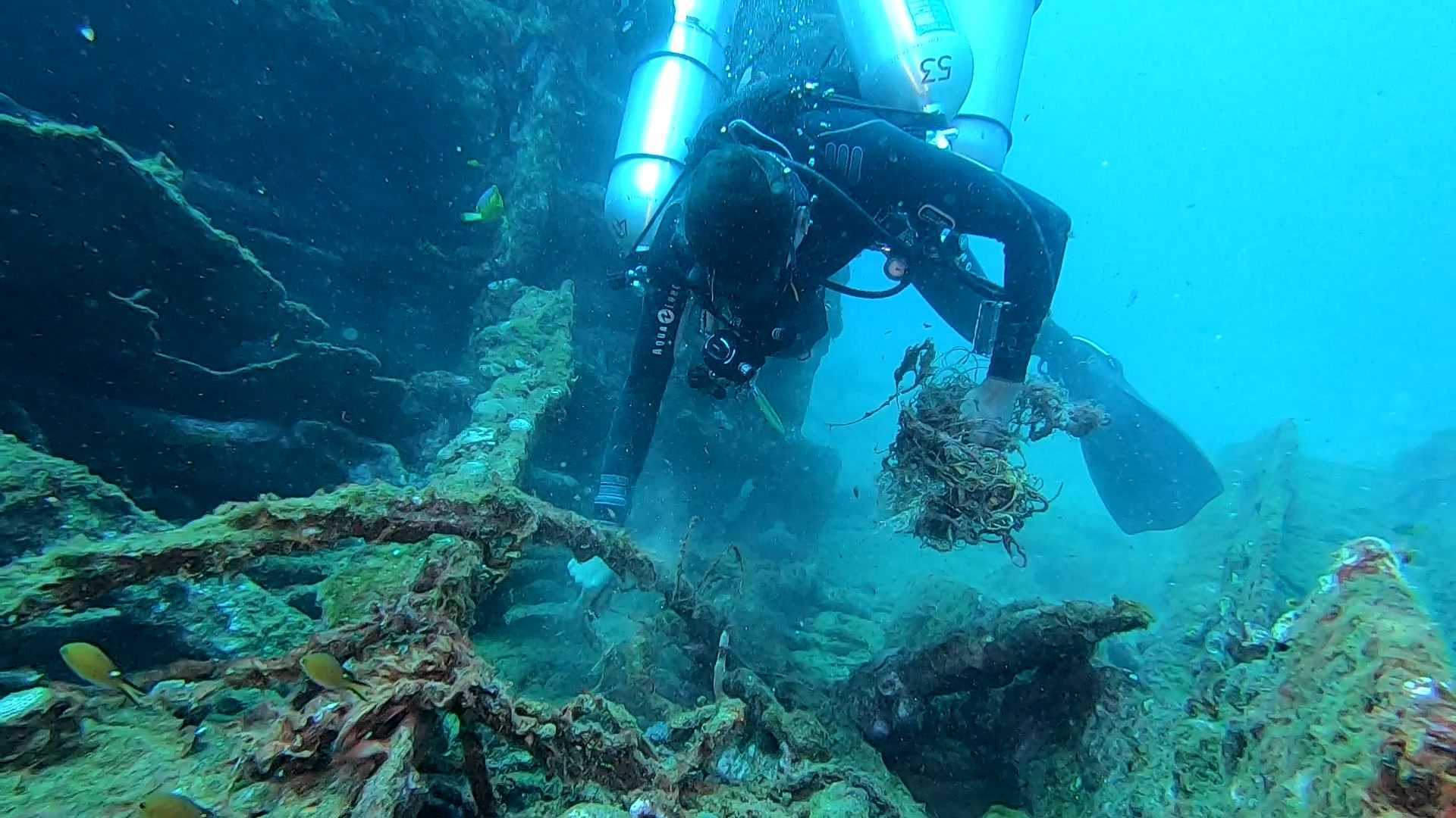
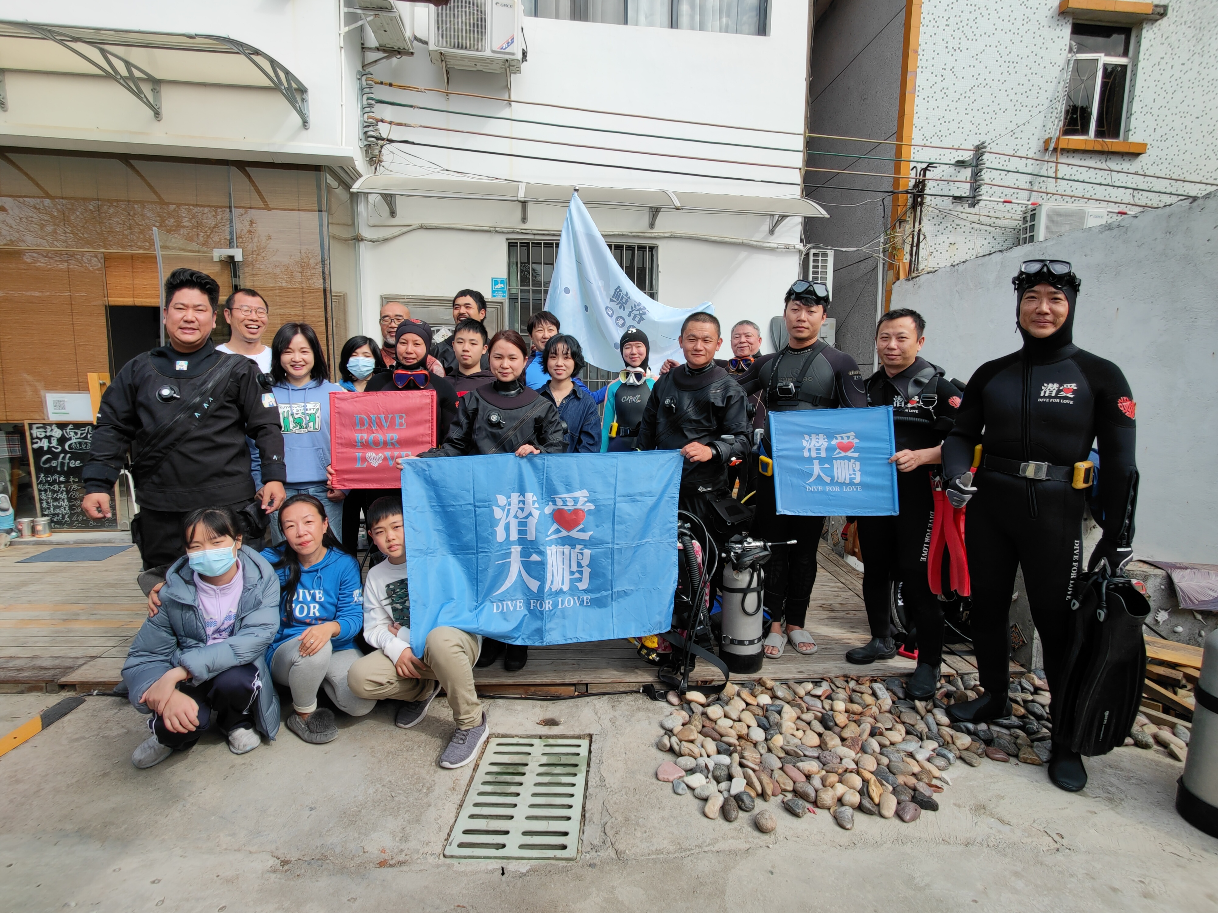
Utila Dive Centre
Cody Gordon/ Suzy Phipps
1
2
1
1
1
2
1
12
4
5
2
1
1
7.00
55
24.00
3.00
2
measured
970.00
2
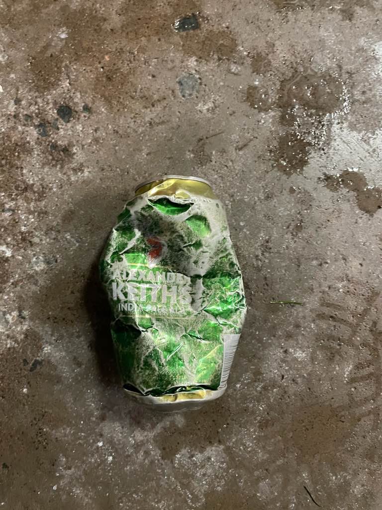
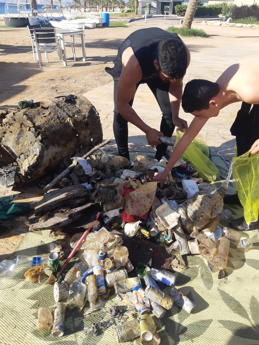
Plastic Food Wrappers
On
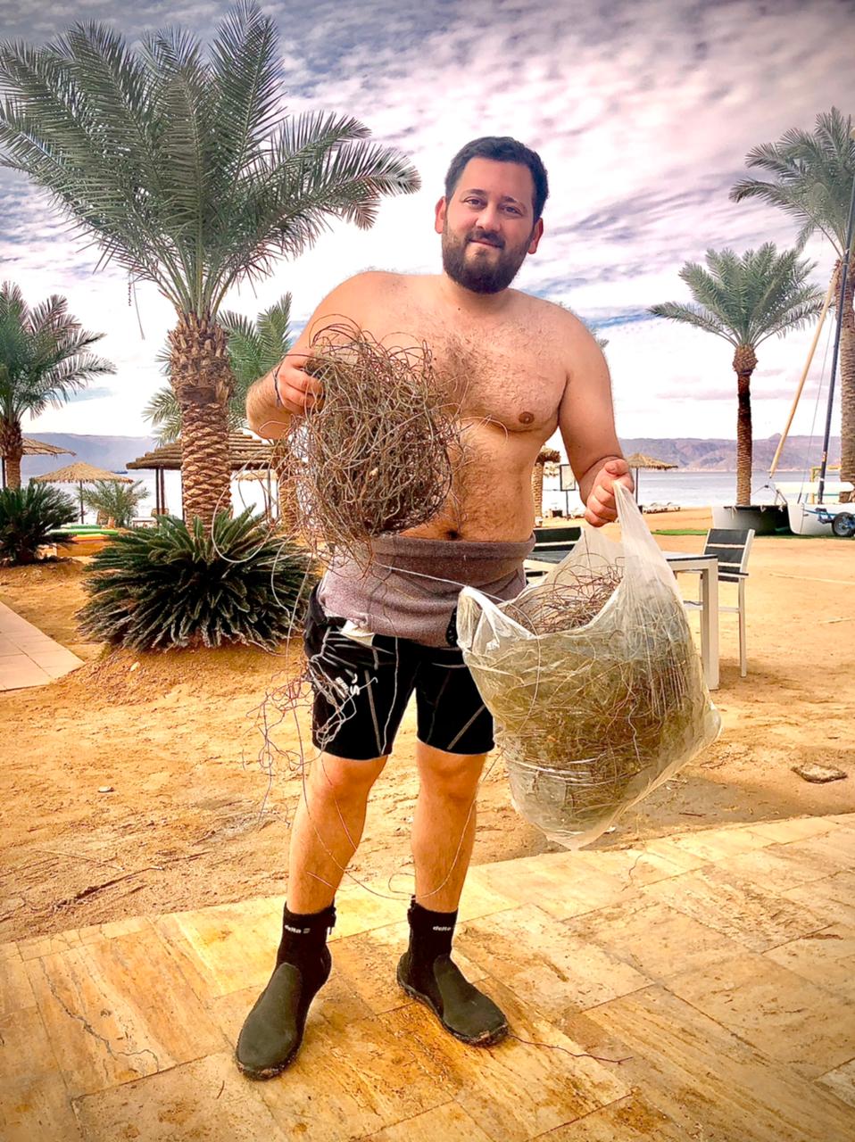
pounds
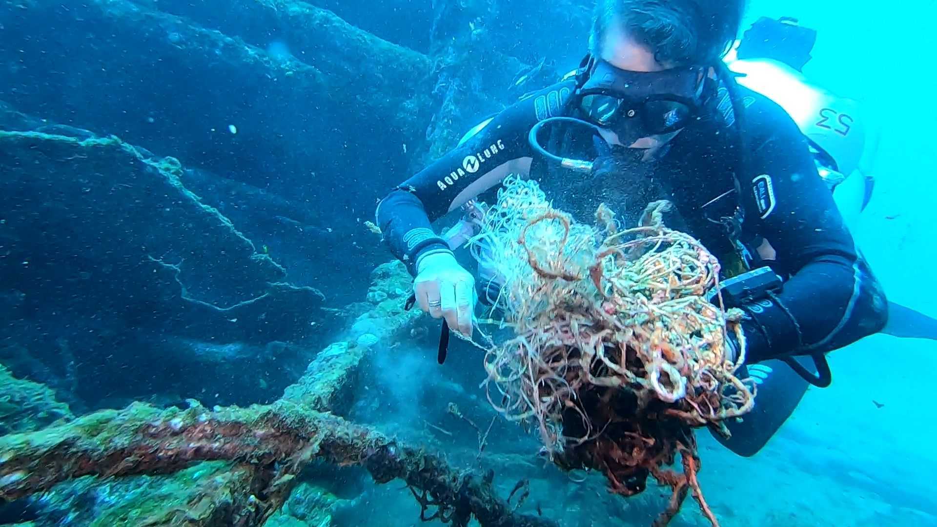
I have debris data to report
Smooth (wavelets) for waves 0.1 - 0.5 meter high
2
7
1
m2
1
meters
other
1
State\Province
Bay Islands
City
Utila
Map Help
Dive Location
If you know your survey site coordinates, enter them manually in decimal degrees using WGS84 Map Datum. Use the minus sign for latitudes south of the equator and longitudes west of the Prime Meridian to 180 degrees.
If you do not know your survey site coordinates, click the “Map Location” tab to use the map to zoom into your survey site and drop the pin on the map to fall within your survey dive site in the water (not on land or the beach). Ensure you zoom in as much as possible to ensure data accuracy.
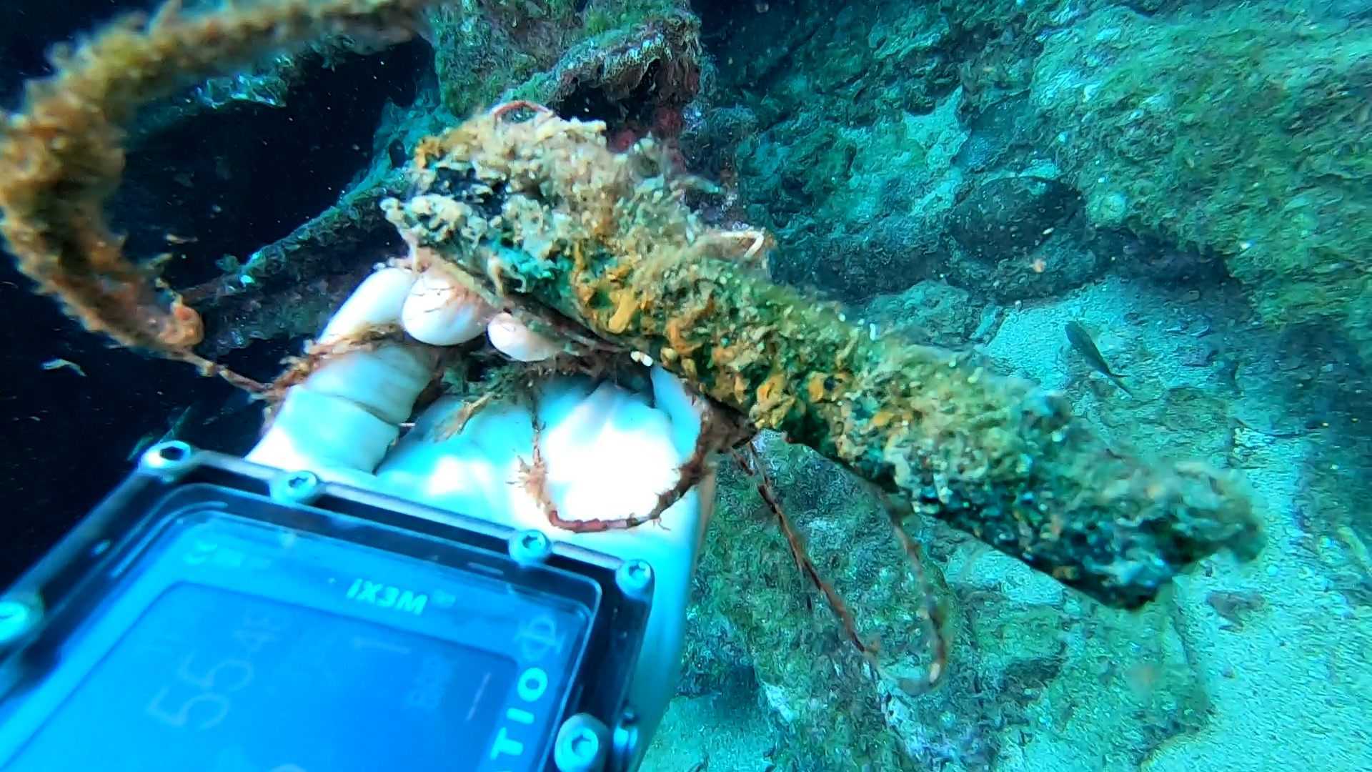
Entangled Help
Use the vertical tabs below to record any entangled animals you found of each type.
Ecosystem Other
mixed coral reef and sand