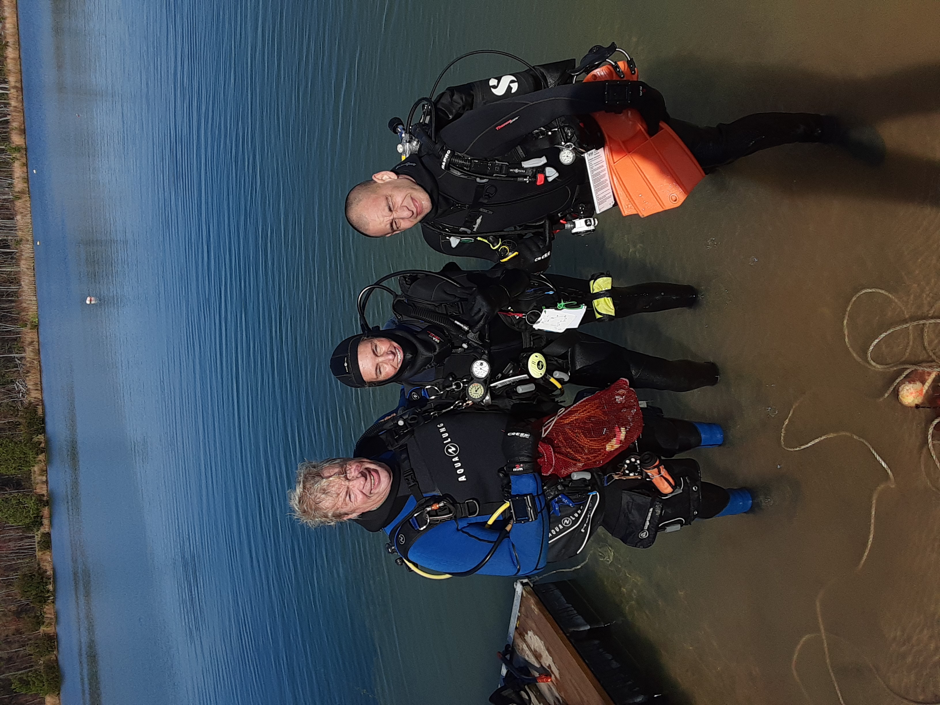
Loutraki Harbor Loutraki Dive club 25/7/2020
11
10
2
1
sand
3
9
37.978808027468, 22.975307582771
Loutraki Dive club 25/7/2020 Loutraki Harbor
At this event we were 6 divers and 8 land support
Very good
3
1
1
2
1
1
1
1
1
1
1
1
1
1
1
1
2
1
1
3
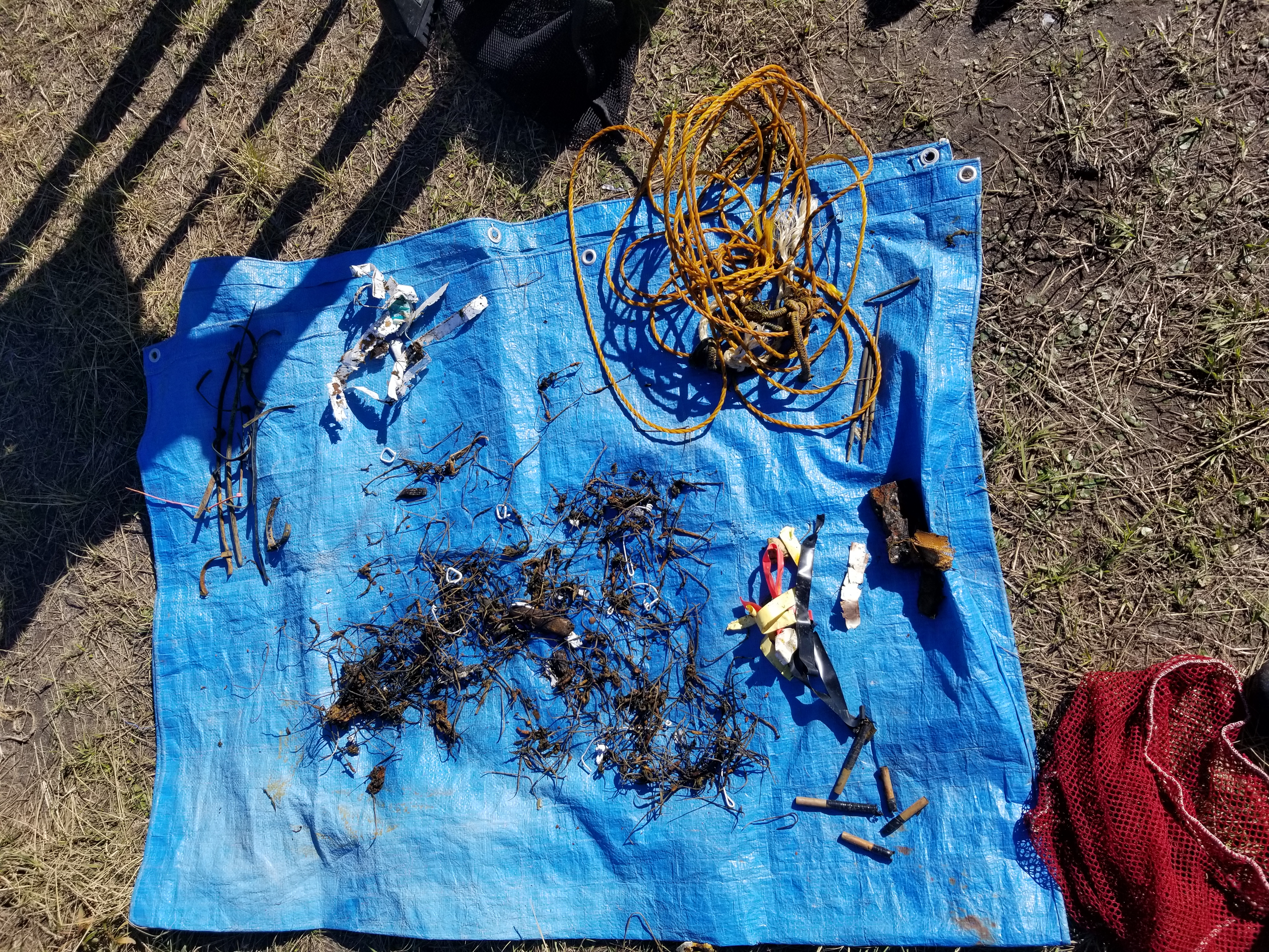
flower pots
screwdriver
hammer
cutter
scissors
hoe
awl
Waterpump Pliers
anchor
bicycle rim
trident
kids scooter
sunbed piece
boat headlight
boat fragmends
sea umbrella
masks (covid 19)
pen
raincoat
signs(municipal)
Loutraki Dive Club
Nikos_Ba
3
29
1
2
6
1
1
4
33
1
1
1
83.00
44
7.40
1.60
5
measured
2
1160.00
2
On
kilograms
I have debris data to report
6
Calm (glassy to rippled) for waves 0 – 0.1 meter high
m2


meters
seagrass
4
4
3
6
1
1
87
1
1
State\Province
Corinthia
City
Loutraki
Map Help
Dive Location
If you know your survey site coordinates, enter them manually in decimal degrees using WGS84 Map Datum. Use the minus sign for latitudes south of the equator and longitudes west of the Prime Meridian to 180 degrees.
If you do not know your survey site coordinates, click the “Map Location” tab to use the map to zoom into your survey site and drop the pin on the map to fall within your survey dive site in the water (not on land or the beach). Ensure you zoom in as much as possible to ensure data accuracy.
Entangled Help