Destin East Jetties
30.384351, -86.506578
1
Fishing from the jetties; boaters; snorkelers
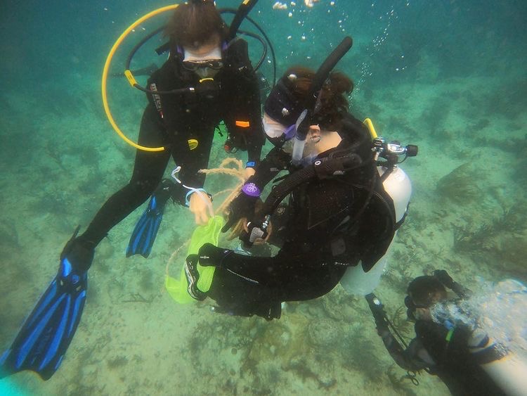
Very cold dive for Florida!!! (57-60 degrees)
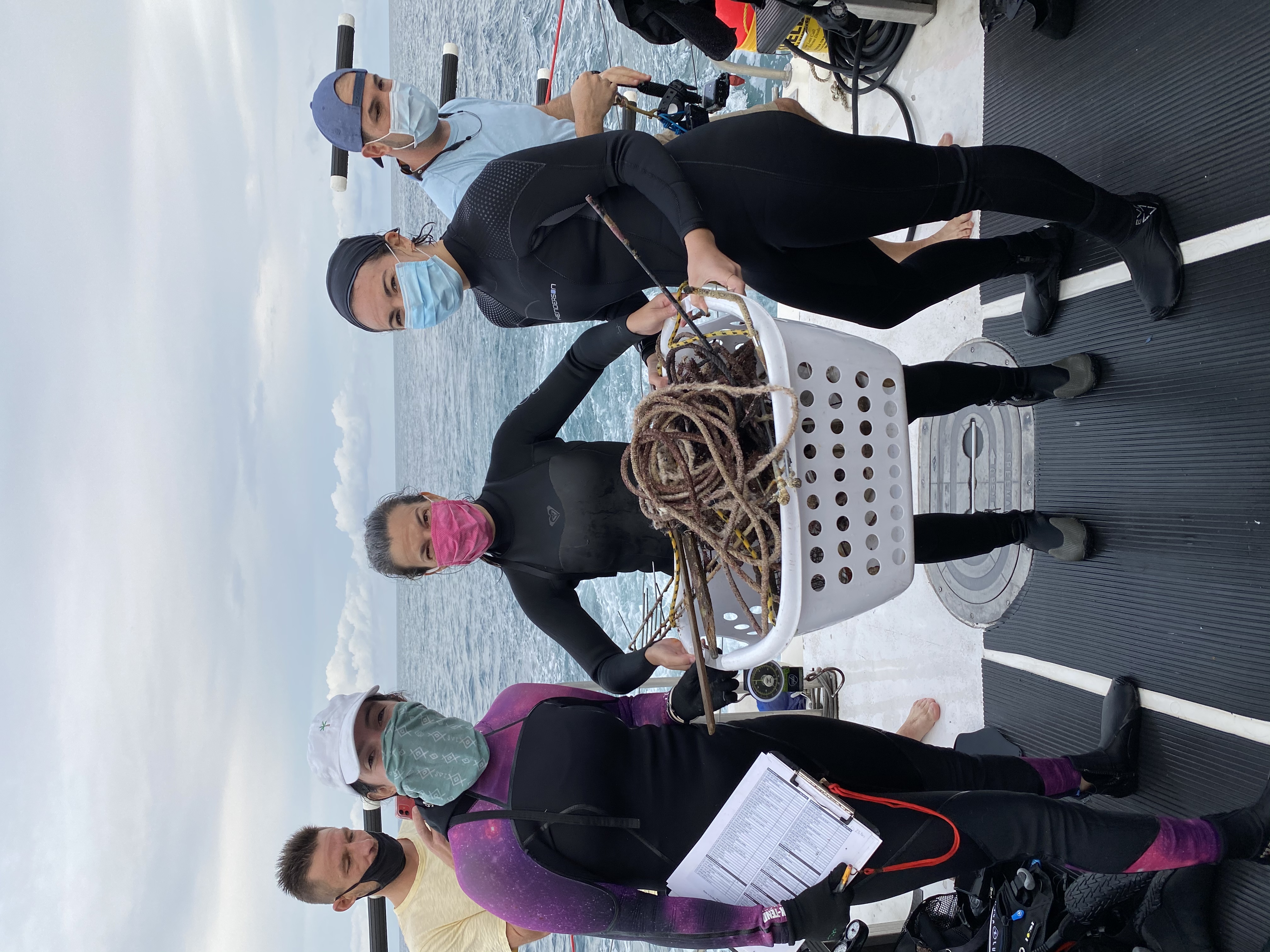
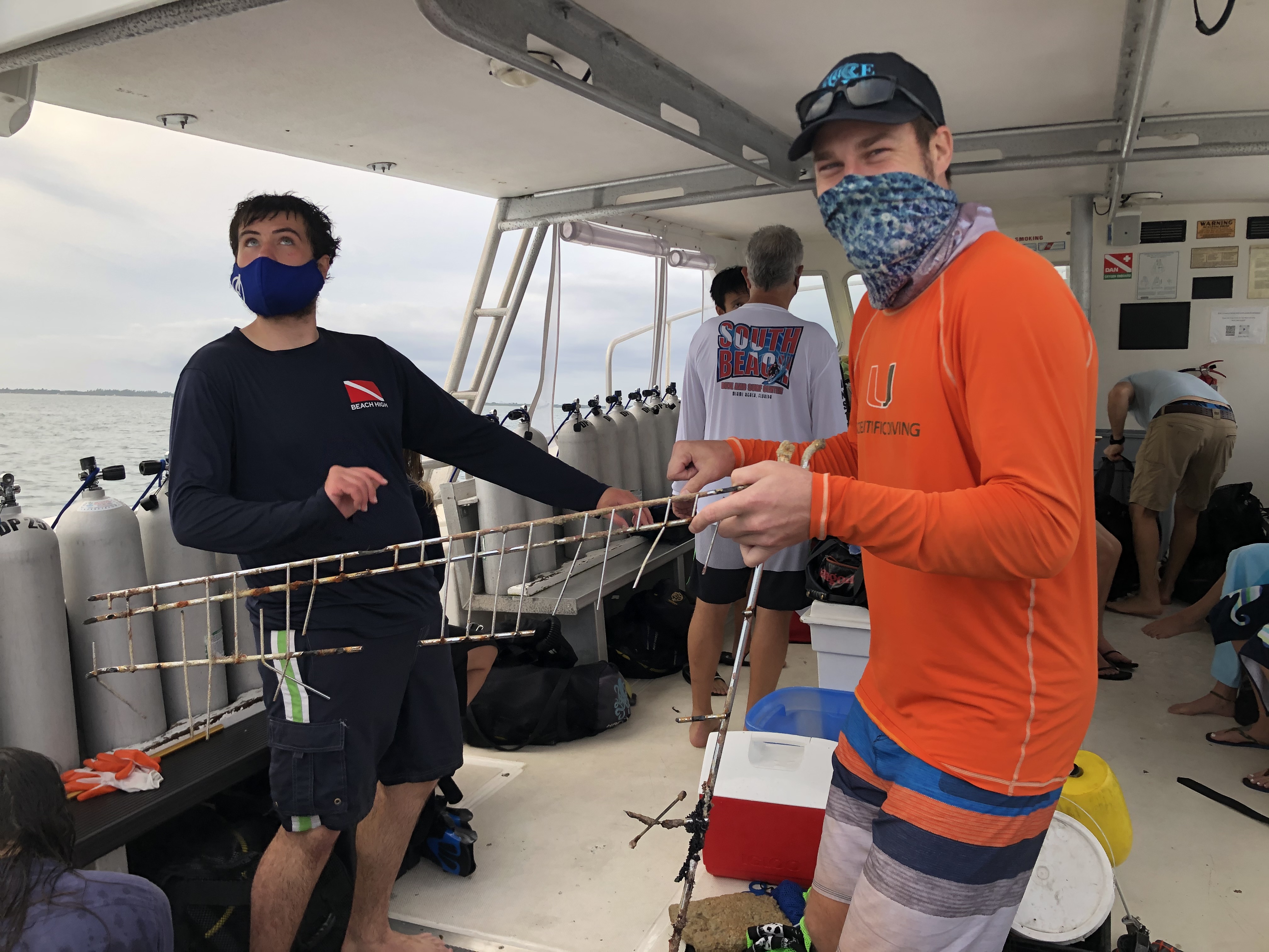
Men's diamond encrusted wedding ring; pvc piping
Cold and sunny
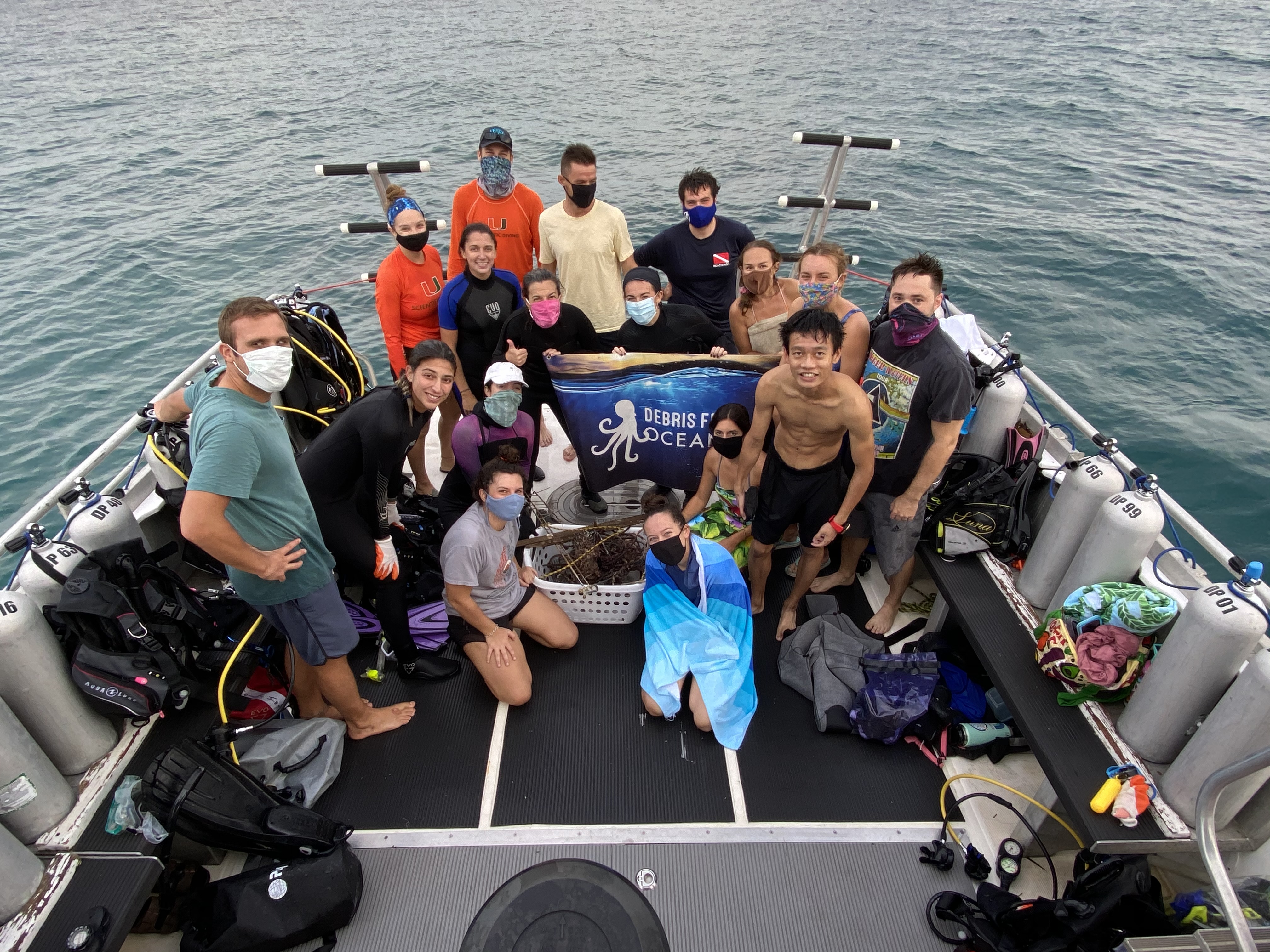
Emerald Coast Scuba
Scott Cole
1
1
1
1
14
1
3
25.00
27
55.00
5.00
measured
2
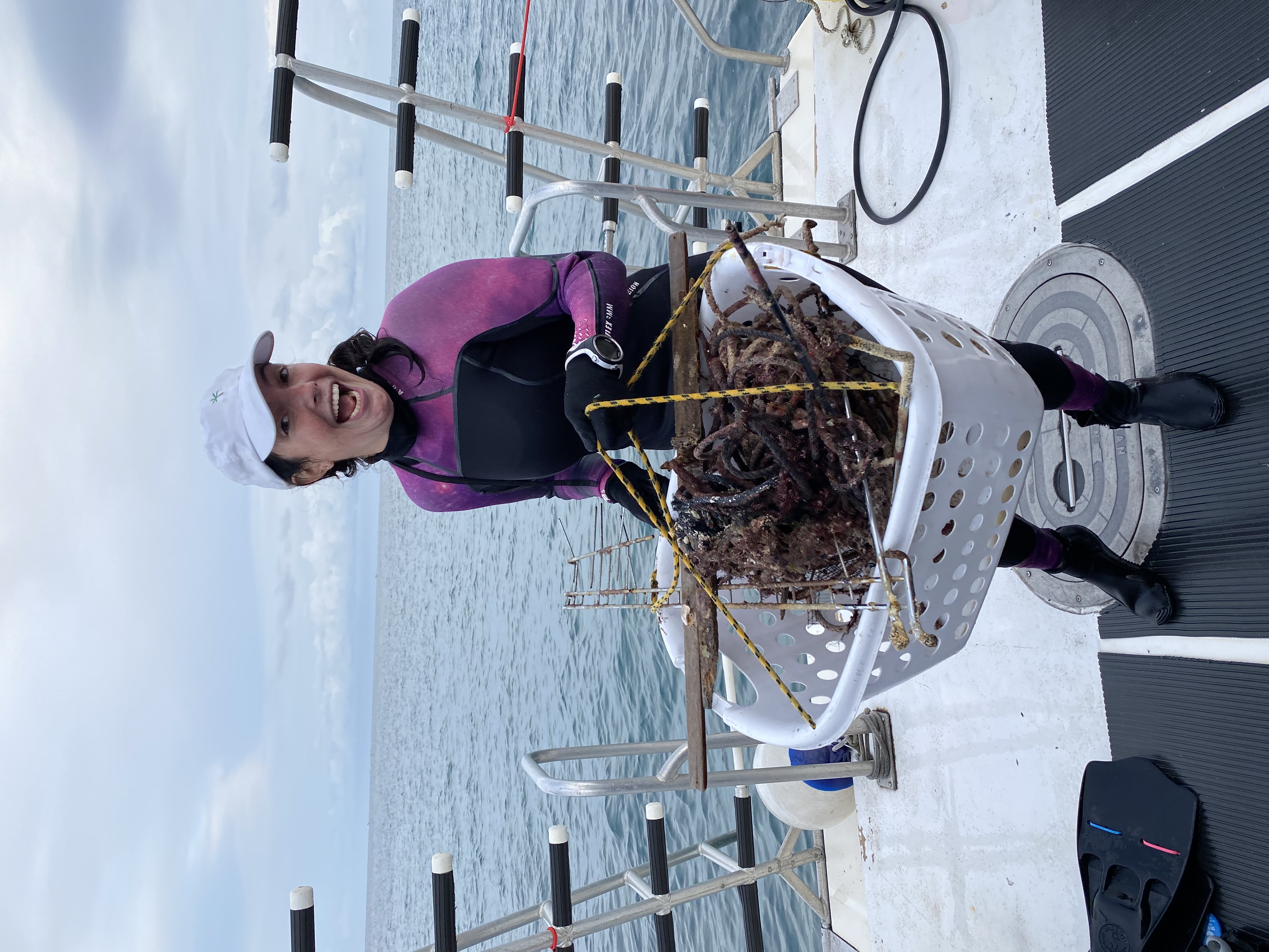
14000.00
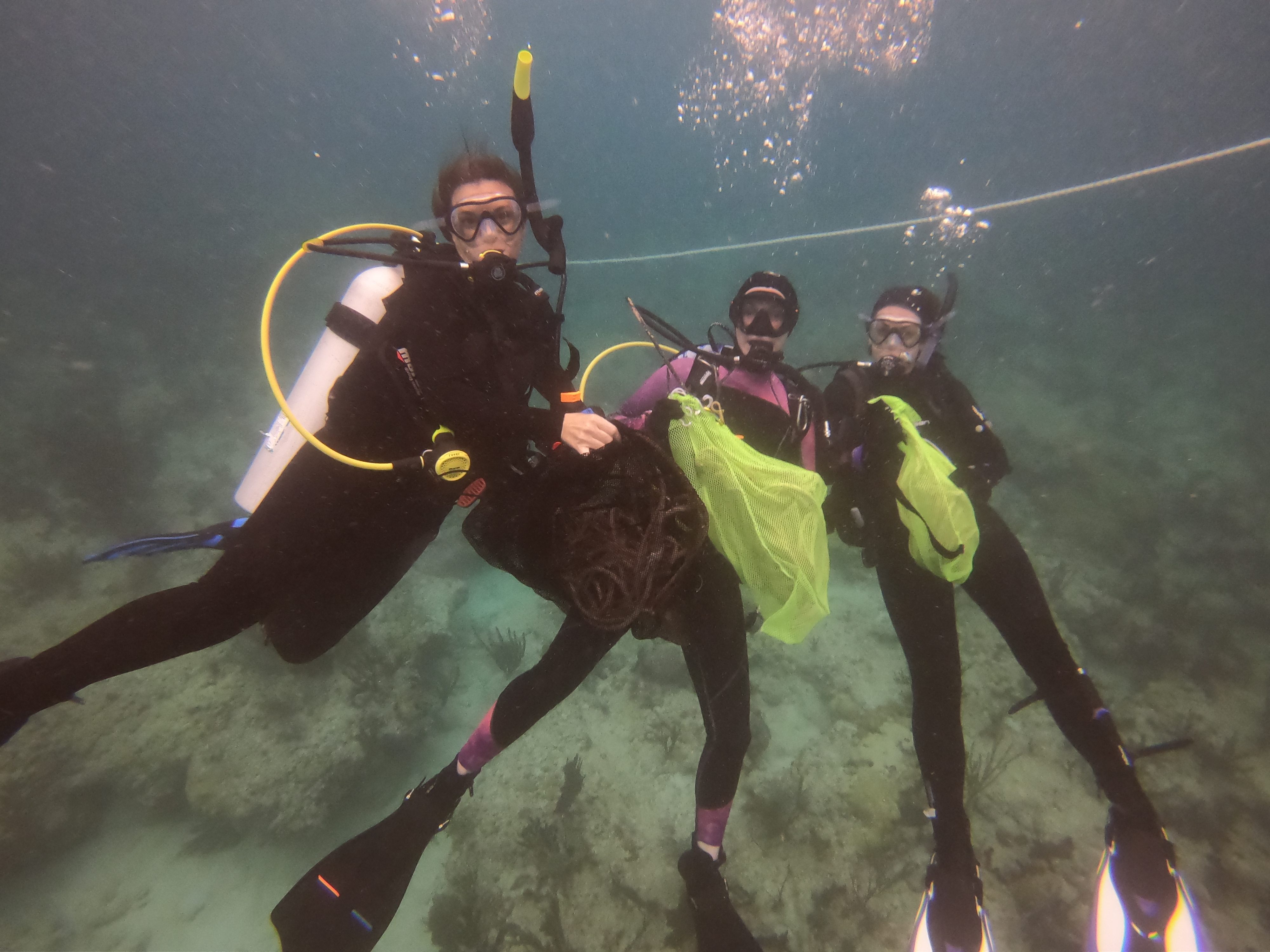
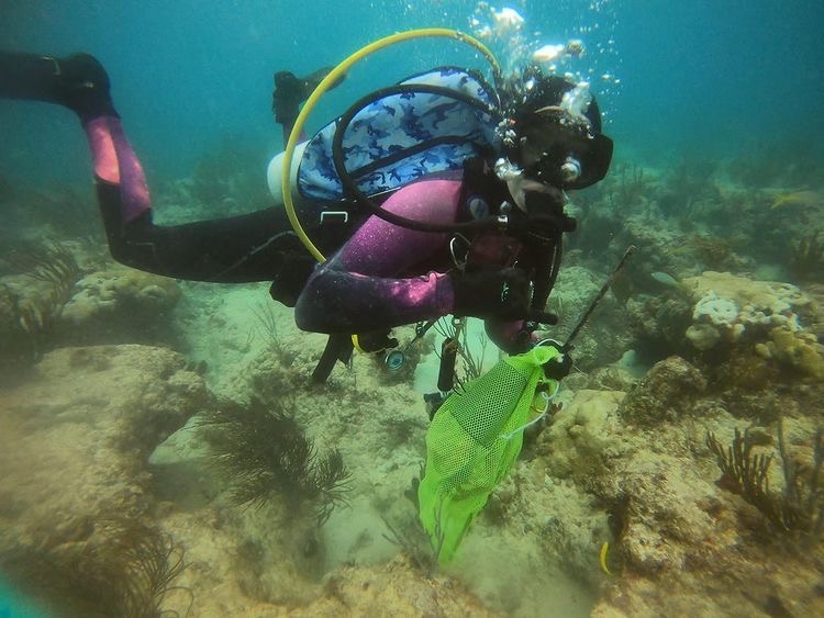
fishing line
plastics
towels
On
pounds
I have debris data to report
Smooth (wavelets) for waves 0.1 - 0.5 meter high
1
1
ft2

5
feet
rocky reef
1
1
1
4
State\Province
FL
City
Destin
Map Help
Dive Location
If you know your survey site coordinates, enter them manually in decimal degrees using WGS84 Map Datum. Use the minus sign for latitudes south of the equator and longitudes west of the Prime Meridian to 180 degrees.
If you do not know your survey site coordinates, click the “Map Location” tab to use the map to zoom into your survey site and drop the pin on the map to fall within your survey dive site in the water (not on land or the beach). Ensure you zoom in as much as possible to ensure data accuracy.
Entangled Help