Malibu Rd. 1st entry
0
0
0
34.026849992222, -118.70469053689
0
0
0
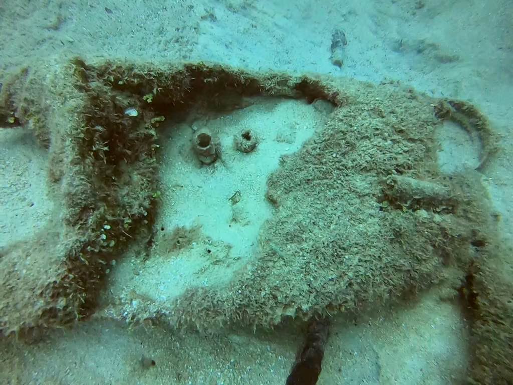
sand
0
0
0
0
0
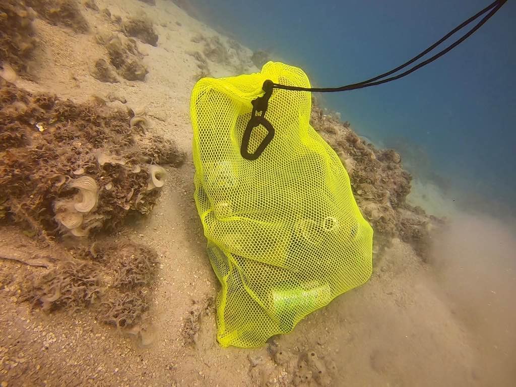
Was leading a friend on their first beach dive, collecting trash was the secondary objective
Beach goer trash or trash from houses on beach
Less trash than expected, this is a lobster diving site so it’s likely other divers have cleaned up some trash
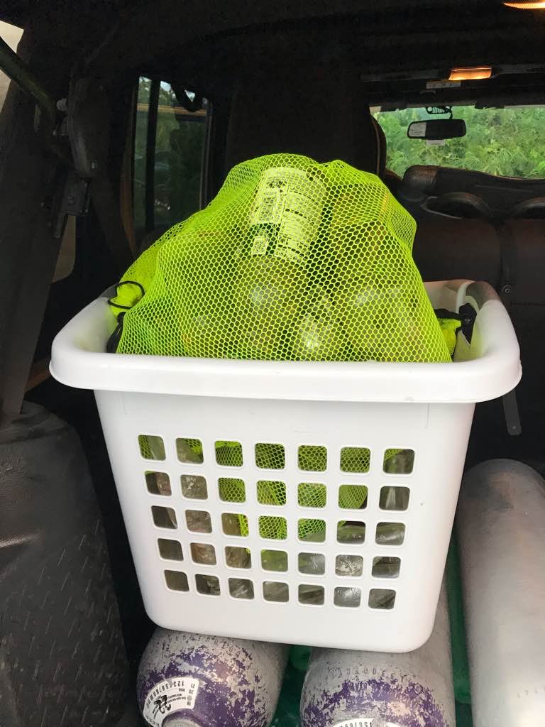
Duct tape
Windy (off shore winds)
1
0
0
0
0
0
0
0
0
0
0
0
0
0
0
0
0
0
0
0
Piece of duct tape
N/A
Miles Roche
0
0
0
0
0
0
0
0
0
0
0
0
0
0
0
0
0
0
0
2
0
1
0
0
0
0
0
0
0
0
0
0
0
0
0.01
42
29.00
10.00
0
estimated
0
0
11197.40
0
0
0
0
0
Paper towel
Duct tape piece
0
On
pounds
0
I have debris data to report
0
0
0
Smooth (wavelets) for waves 0.1 - 0.5 meter high
0
0
0
0
0
0
0
m2

0
0
feet
rocky reef
0
0
0
0
0
0
0
0
0
0
0
0
0
0
0
0
0
0
0
0
0
0
0
0
0
0
0
0
State\Province
CA
City
Malibu
Map Help
Dive Location
If you know your survey site coordinates, enter them manually in decimal degrees using WGS84 Map Datum. Use the minus sign for latitudes south of the equator and longitudes west of the Prime Meridian to 180 degrees.
If you do not know your survey site coordinates, click the “Map Location” tab to use the map to zoom into your survey site and drop the pin on the map to fall within your survey dive site in the water (not on land or the beach). Ensure you zoom in as much as possible to ensure data accuracy.
Entangled Help