Little Pond, Morton Park
13
20
4
silt
41.94294534665, -70.683137317154
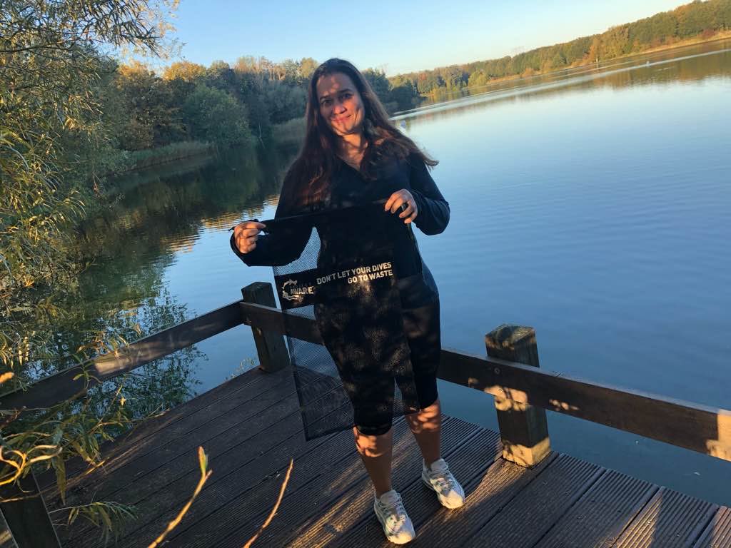
Twenty First Year of Underwater Cleanups!
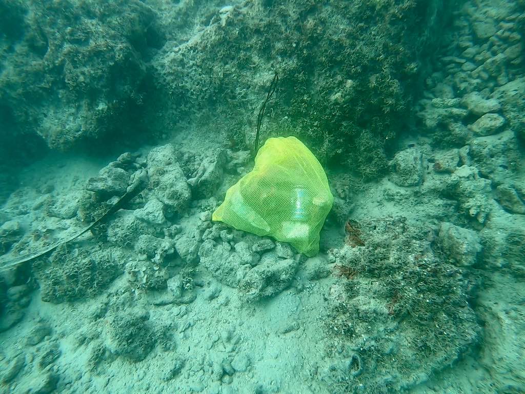
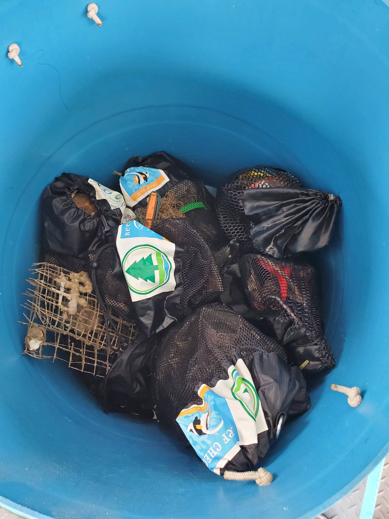
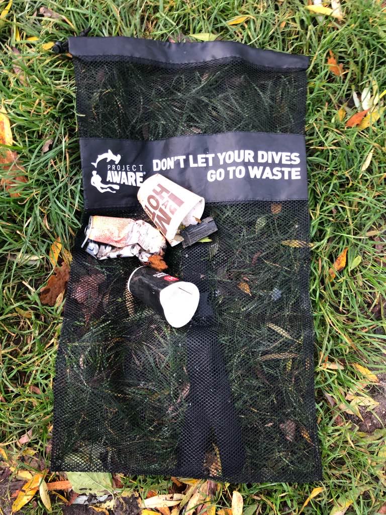
Due to the Coronavirus I limited the cleanup team this year to just two divers. We were very pleased to see how clean the bottom was after all the years that we have worked to remove the debris! Next year we will pick a different site that has never been cleaned.
Due to the Coronavirus I limited the cleanup team this year to just two divers. We were very pleased to see how clean the bottom was after all the years that we have worked to remove the debris! Next year we will pick a different site that has never been cleaned.
People swimming, fishing, kayaking and picnics in the surrounding park.
The cloth face mask...
Partly sunny
1
Cloth Face Mask
Private Cleanup
John Hoagland
6
2
1
2
2
3
3.00
45
30.00
5.00
estimated
24000.00
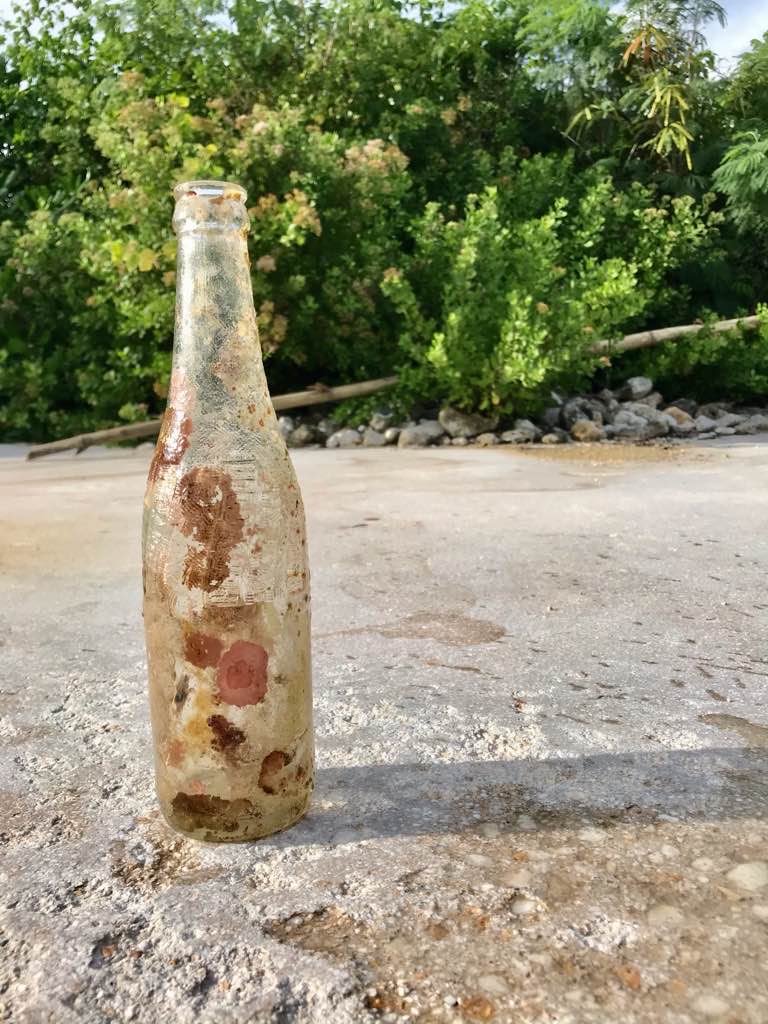
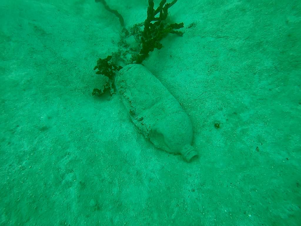
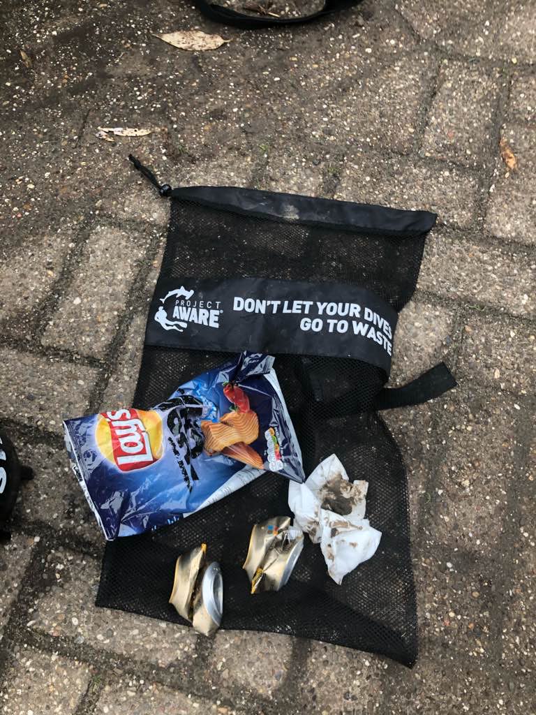
Plastic fragments
1
On
pounds
I have debris data to report
1
Calm (glassy to rippled) for waves 0 – 0.1 meter high
1
ft2

feet
other
2
State\Province
MA
City
Plymouth
Map Help
Dive Location
If you know your survey site coordinates, enter them manually in decimal degrees using WGS84 Map Datum. Use the minus sign for latitudes south of the equator and longitudes west of the Prime Meridian to 180 degrees.
If you do not know your survey site coordinates, click the “Map Location” tab to use the map to zoom into your survey site and drop the pin on the map to fall within your survey dive site in the water (not on land or the beach). Ensure you zoom in as much as possible to ensure data accuracy.
Entangled Help
Use the vertical tabs below to record any entangled animals you found of each type.
Ecosystem Other
fresh Water Pond