ADS644 - Point Panic
4
4
2
1
1
rock
47
21.290254820757, -157.86028982744
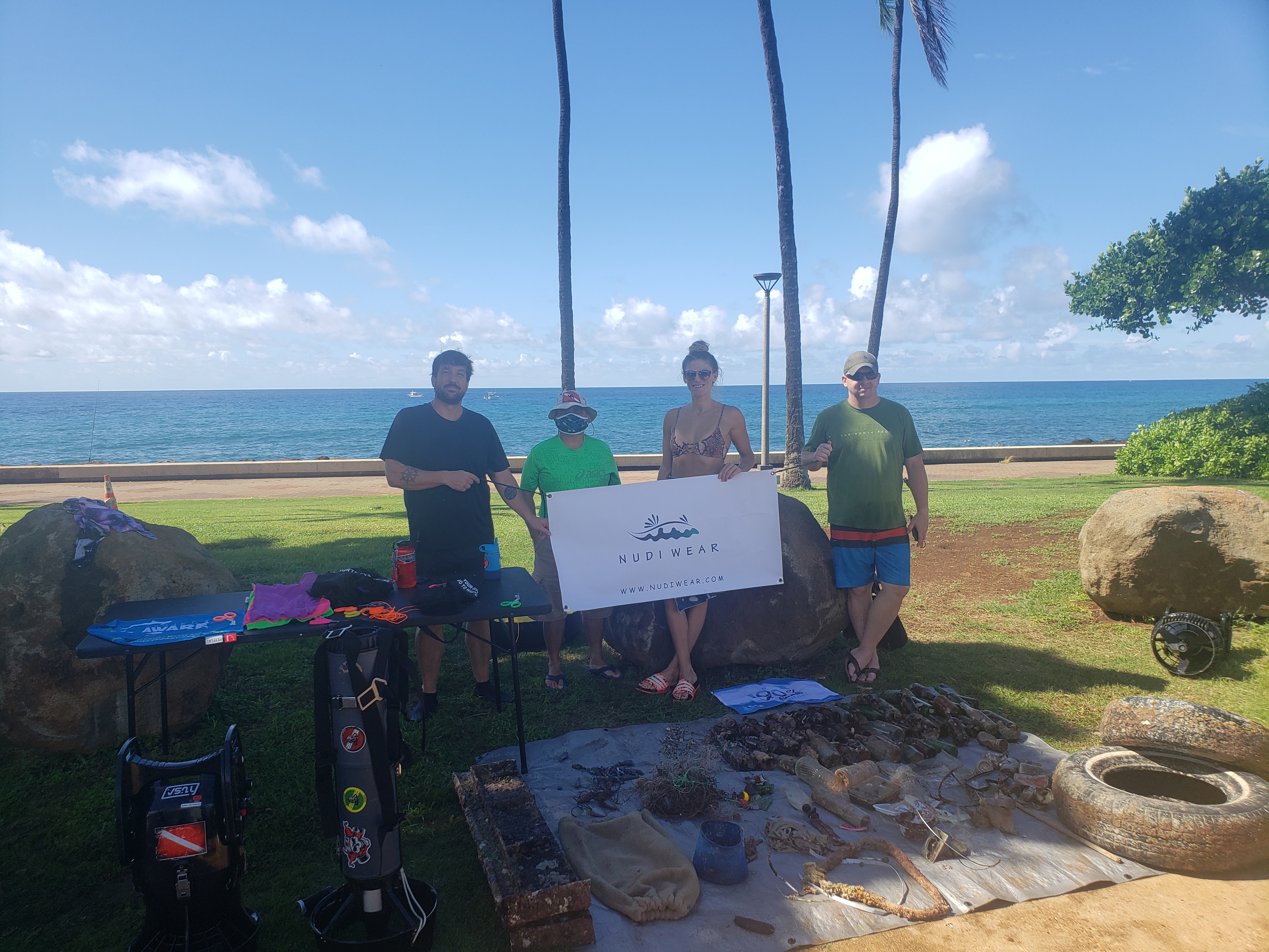
people
Rain
1
1
1
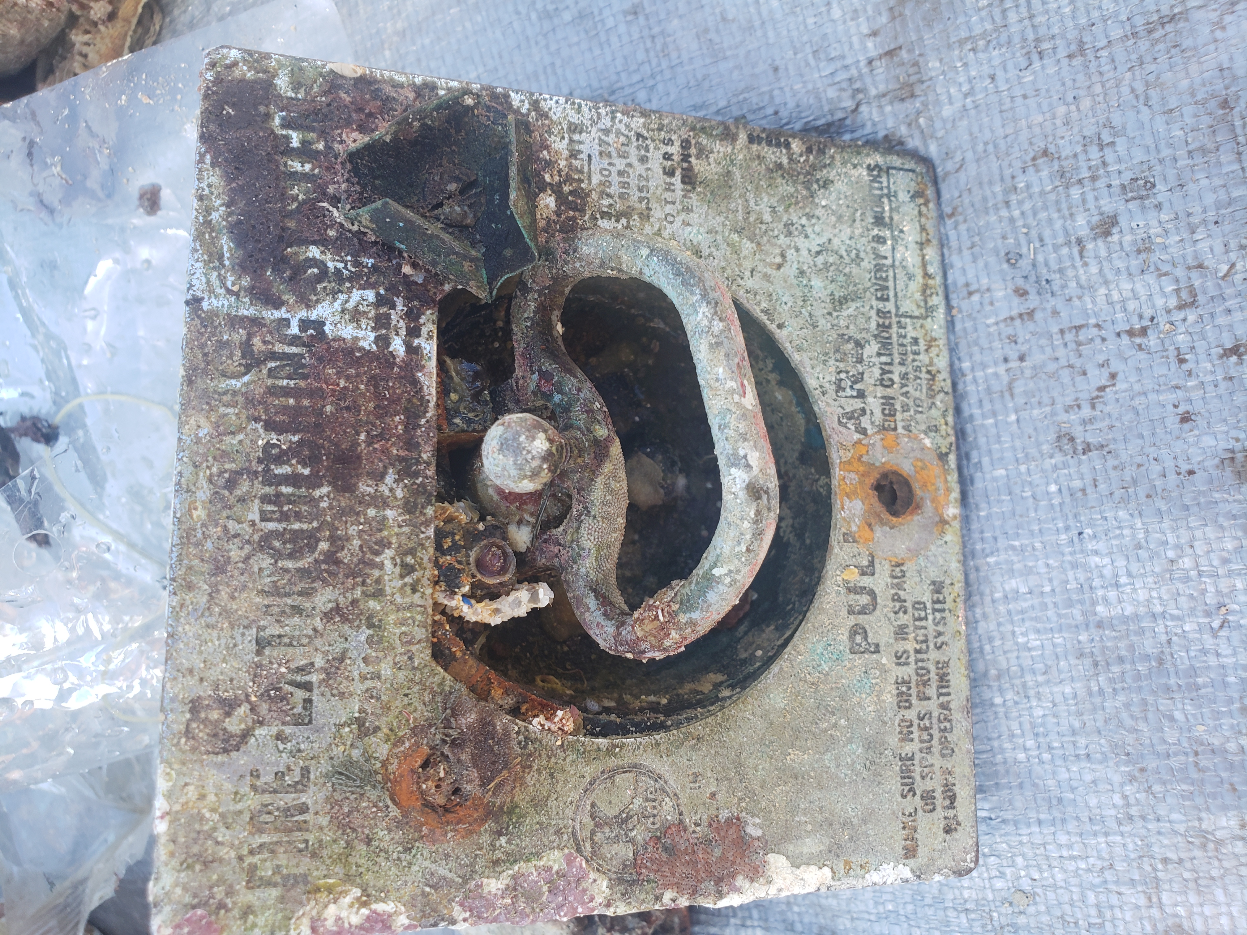
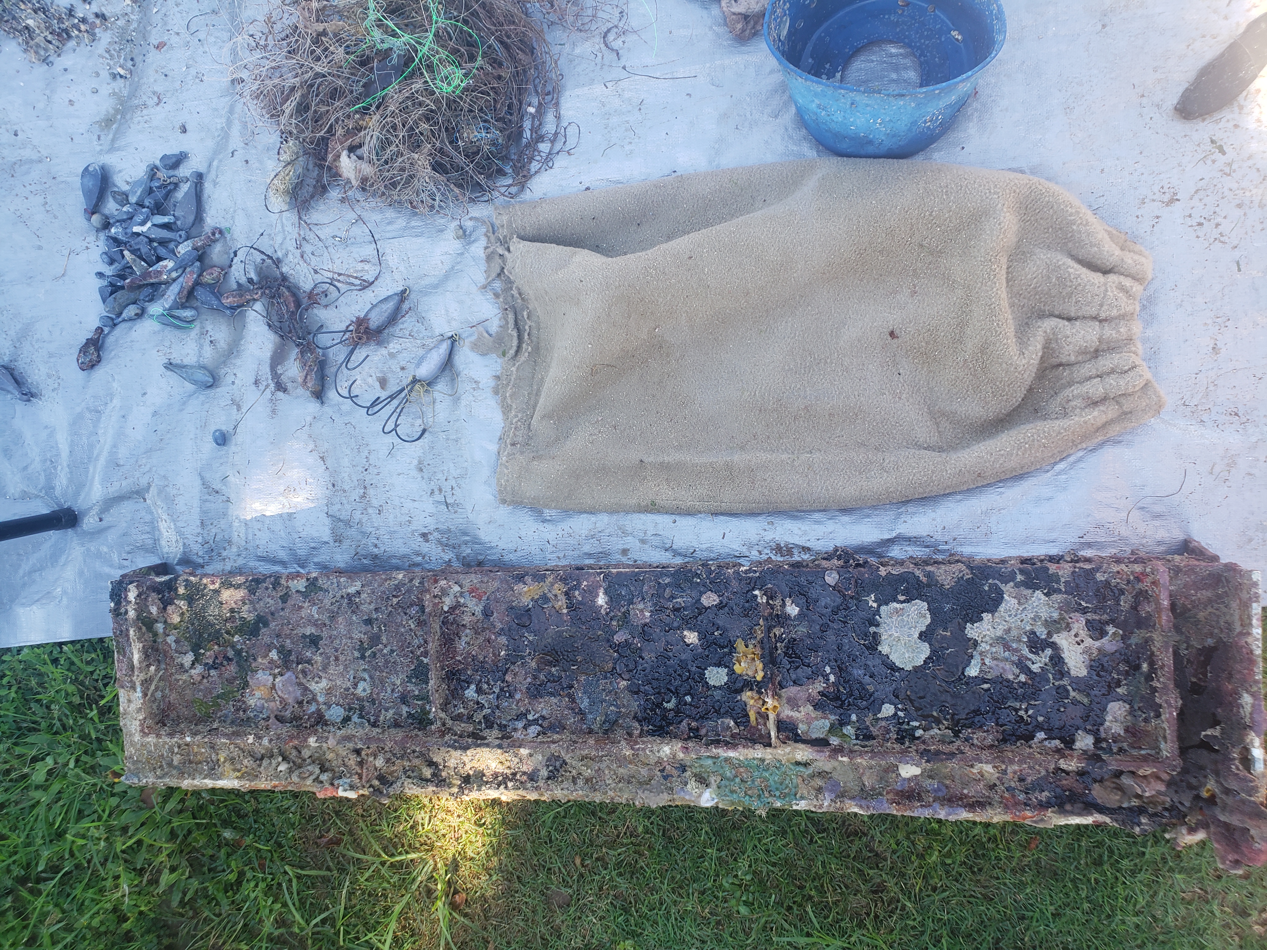
Large metal Fire Extinguisher Pull
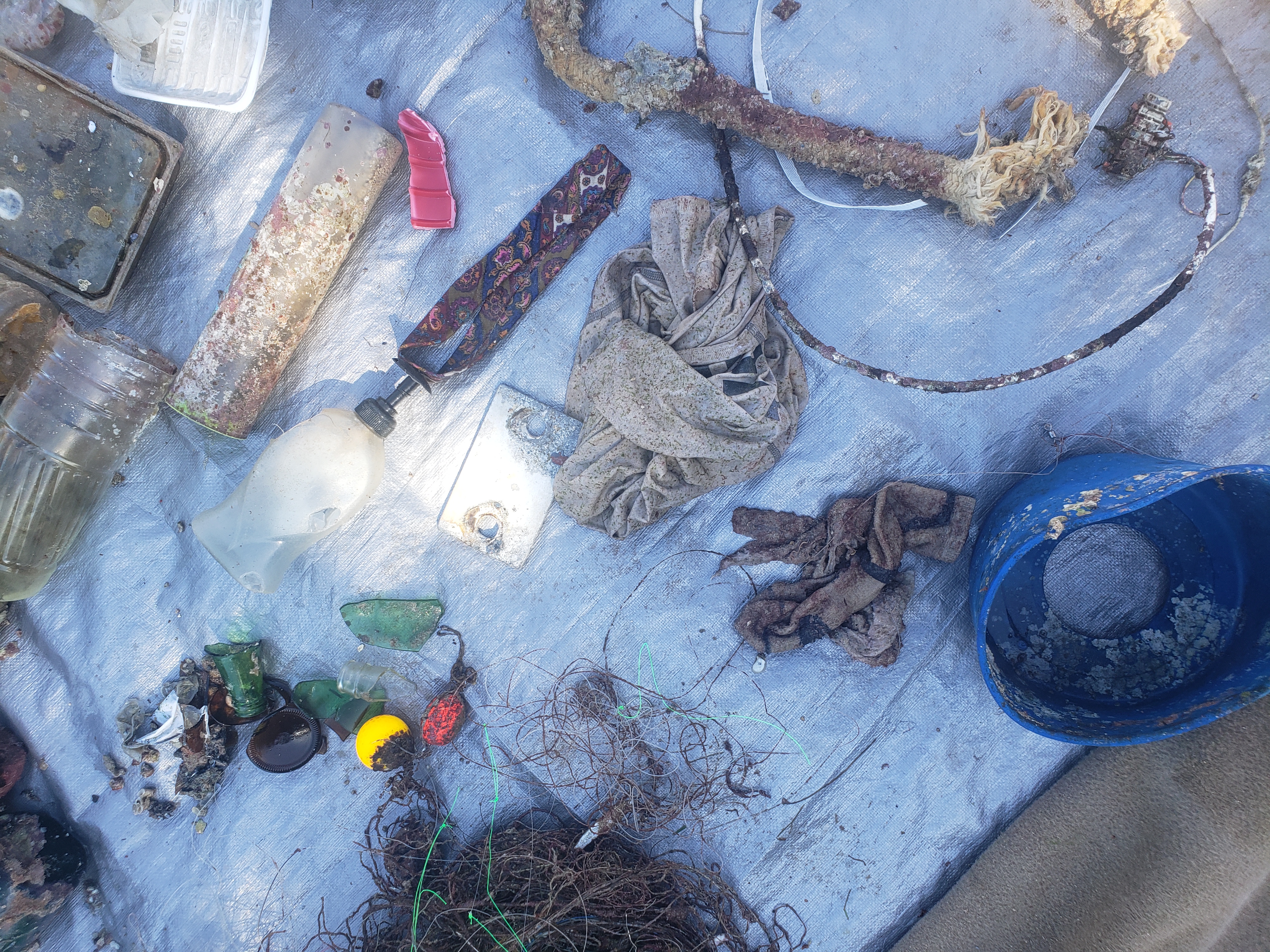
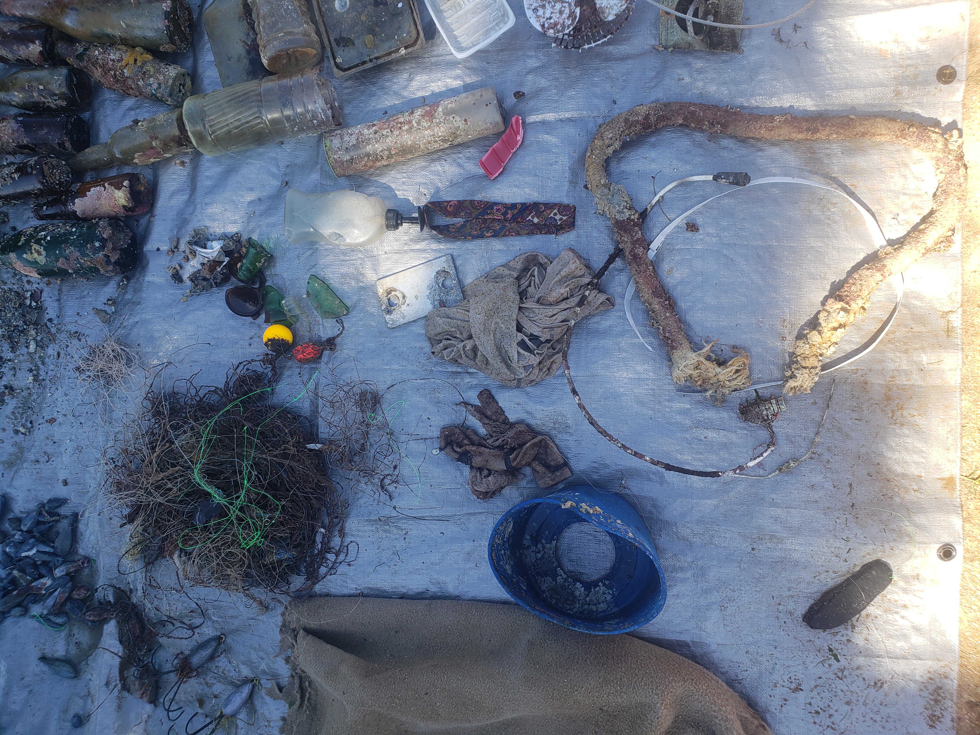
Circular Metal frame w/ canvas sides
Large Aluminum slab (auto or boat)
Nudi Wear
Ryan Scalf
1
1
8
1
4
2
135.00
45
24.00
4.00
1
estimated
9
50.00
2
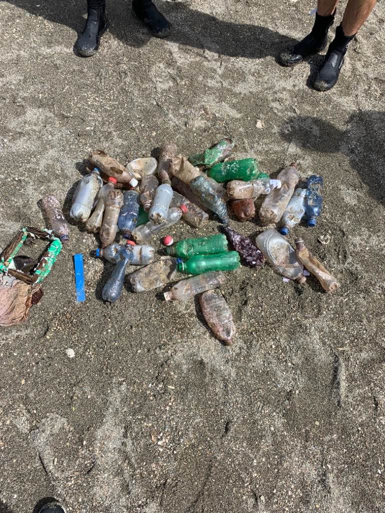
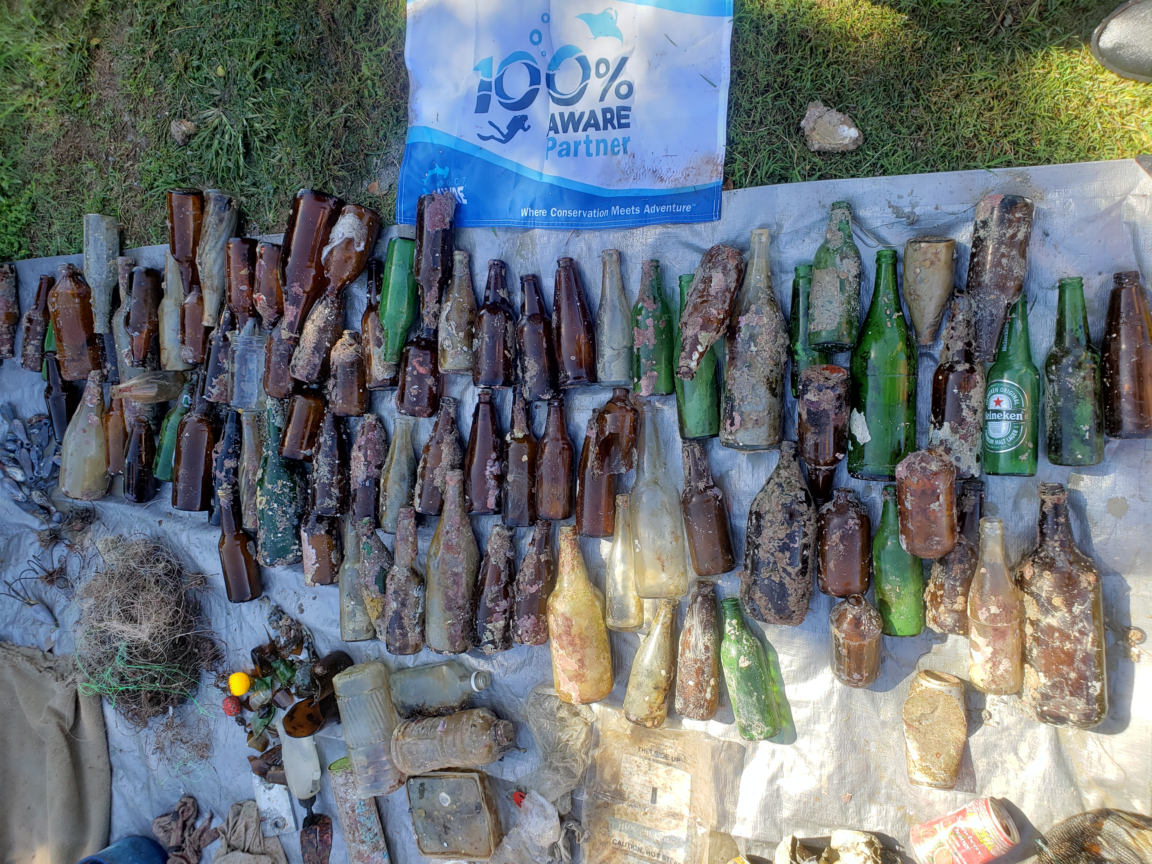
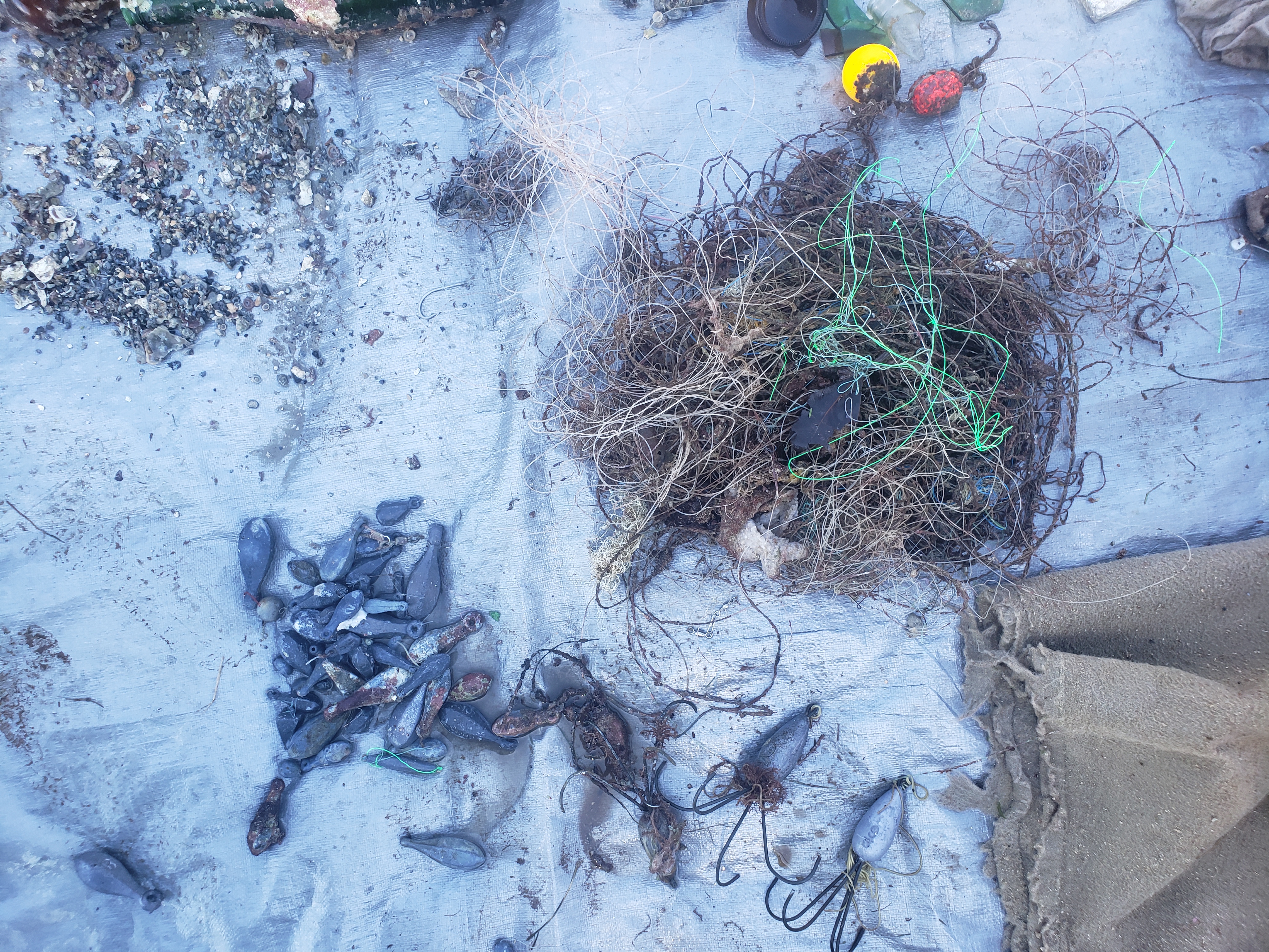
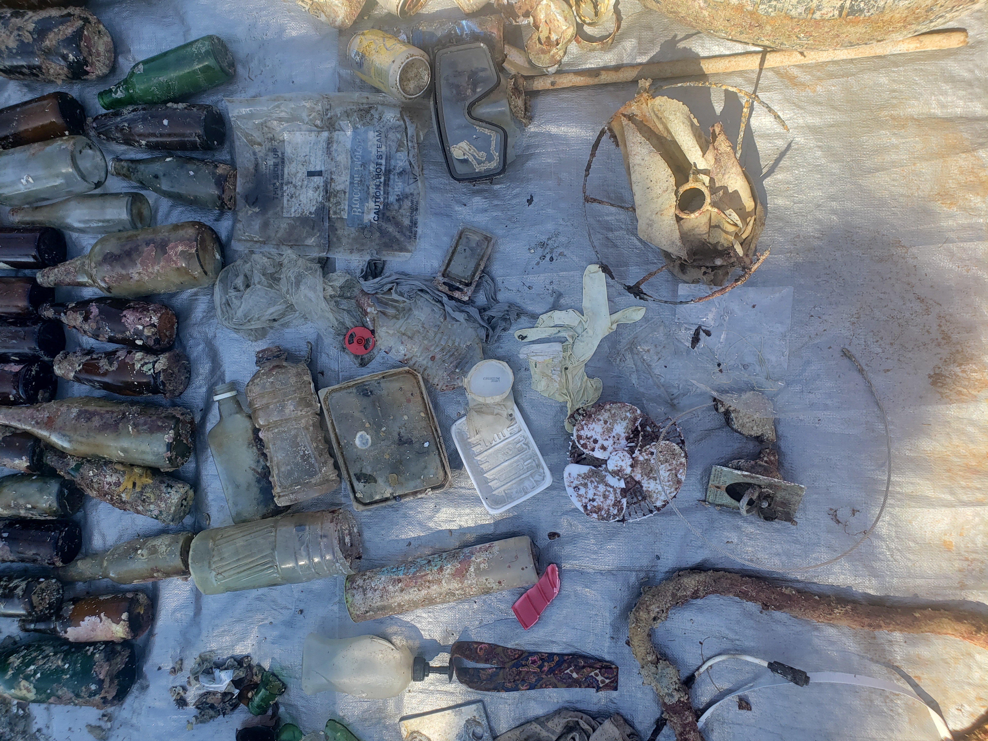
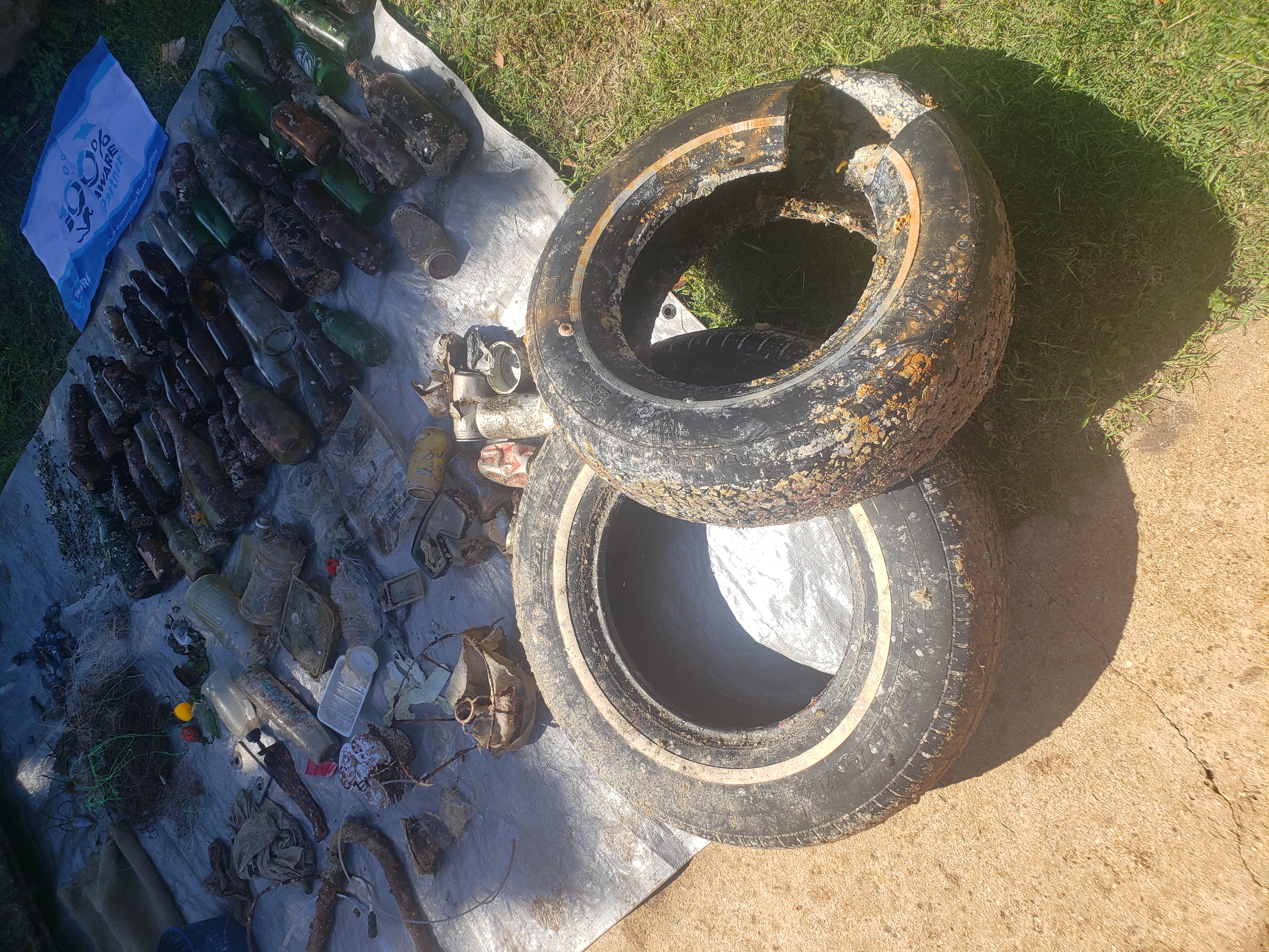
glass
On
pounds
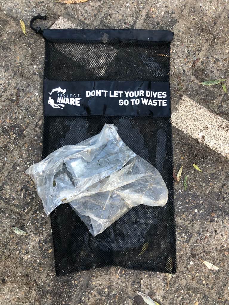
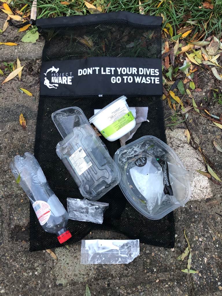
I have debris data to report
113
Smooth (wavelets) for waves 0.1 - 0.5 meter high
1
5
2
1
m2

1
meters
rocky reef
2
1
1
1
4
23
1
State\Province
Hawaii
City
Honolulu
Map Help
Dive Location
If you know your survey site coordinates, enter them manually in decimal degrees using WGS84 Map Datum. Use the minus sign for latitudes south of the equator and longitudes west of the Prime Meridian to 180 degrees.
If you do not know your survey site coordinates, click the “Map Location” tab to use the map to zoom into your survey site and drop the pin on the map to fall within your survey dive site in the water (not on land or the beach). Ensure you zoom in as much as possible to ensure data accuracy.
Entangled Help