ADS126 - Chilpo Beach Northern Rocky outcrop
14
137
1
2
36.136072, 129.398292
1
5
sand
1
7
Big shoutout to AWARE Week 2020!
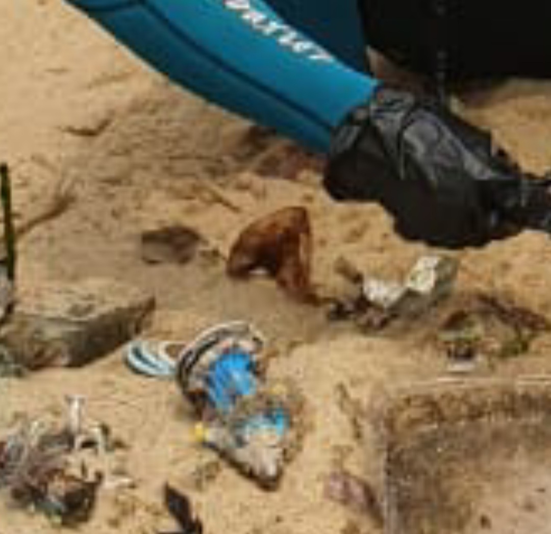
The water was very clear on this day. I went farther north than usual as all year the water there has been very murky and vis had been zero due to so much rain and runoff most of the season. I found SOOO much trash there I just could not remove it all. It broke my heart swimming back to the exit point and passing by so much trash that I just wasnt able to remove.
Because of the virus the debris I have removed this season until today for the most part had been random stuff that I typically find all year rather than the usual "beachgoer" related stuff I usually find in late summer and fall as people had not been visiting the beaches as much. Today however many of the debris items found were fresh/new and obviously things people on the beach or nearby pleasure boating had discarded and/or lost.
Full video of dive here: https://youtu.be/jaxZnIEYGwk
Pool/Swimming Floats
Clear. Some rough seas several days ago but very calm surface for the past few days
2
Pool/Swimming Floats
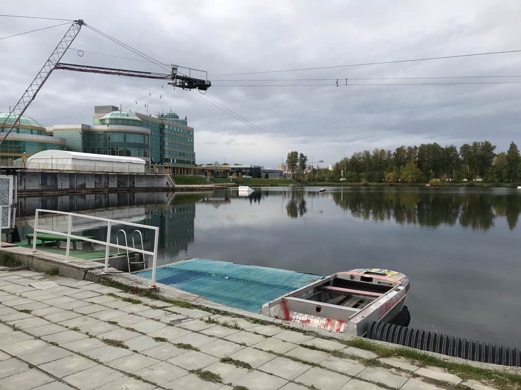
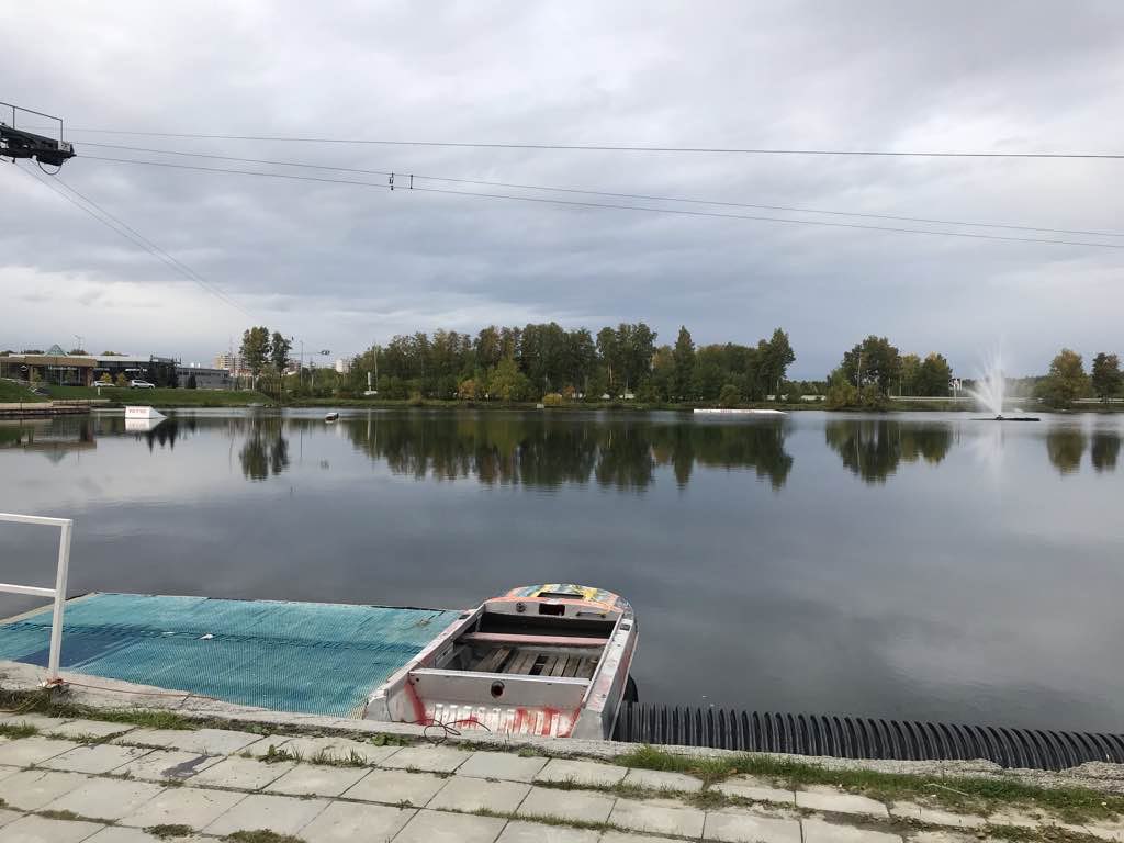
Dive Against Debris Korea (Daegu)
William Henderson
4
1
6
1
2
5
20.00
77
6.00
1.00
7
estimated
6
200.00
2
2
1
gloves
random crap
On
kilograms
I have debris data to report
Smooth (wavelets) for waves 0.1 - 0.5 meter high
5
29
5
4
m2


10
meters
rocky reef
5
1
1
6
4
8
State\Province
Gyeongbukdo
City
Pohang
Map Help
Dive Location
If you know your survey site coordinates, enter them manually in decimal degrees using WGS84 Map Datum. Use the minus sign for latitudes south of the equator and longitudes west of the Prime Meridian to 180 degrees.
If you do not know your survey site coordinates, click the “Map Location” tab to use the map to zoom into your survey site and drop the pin on the map to fall within your survey dive site in the water (not on land or the beach). Ensure you zoom in as much as possible to ensure data accuracy.
Entangled Help