Weaver Lake
6
15
1
49.347477, -121.869334
1
0
0
silt
0
2
4
1
0
No
Boat motor
Sunny
1
1
3
2
1
1
1
1
1
0
0
0
0
0
0
0
0
0
0
0
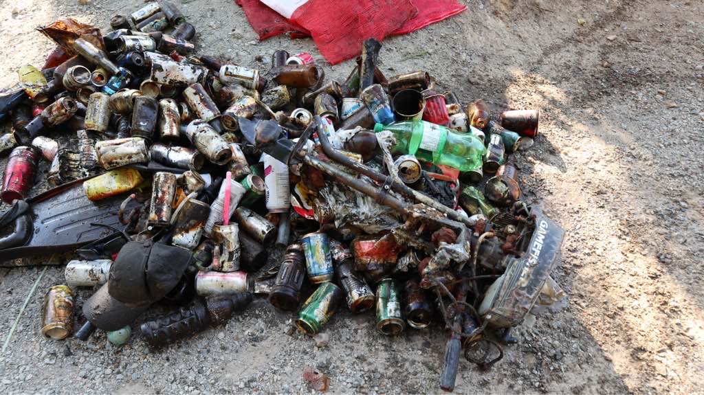
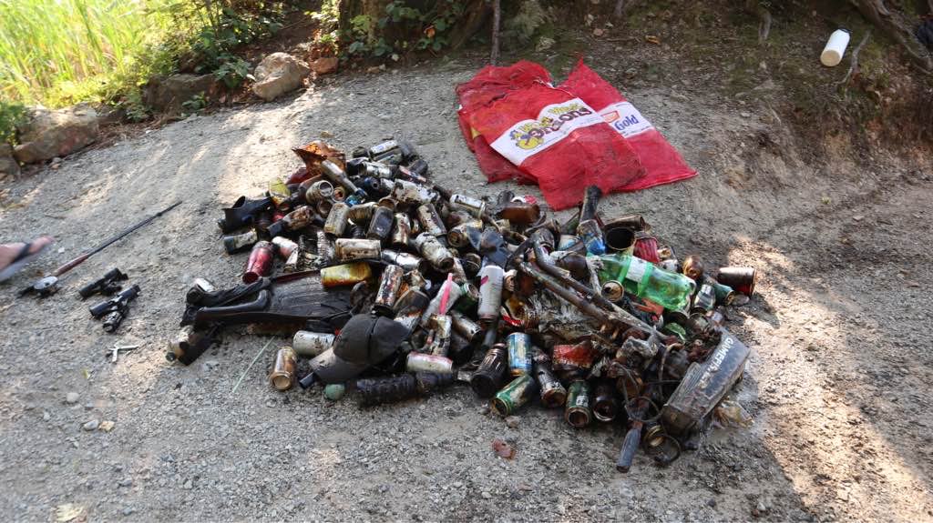
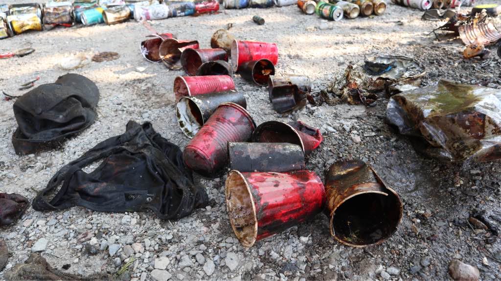
Boat engine
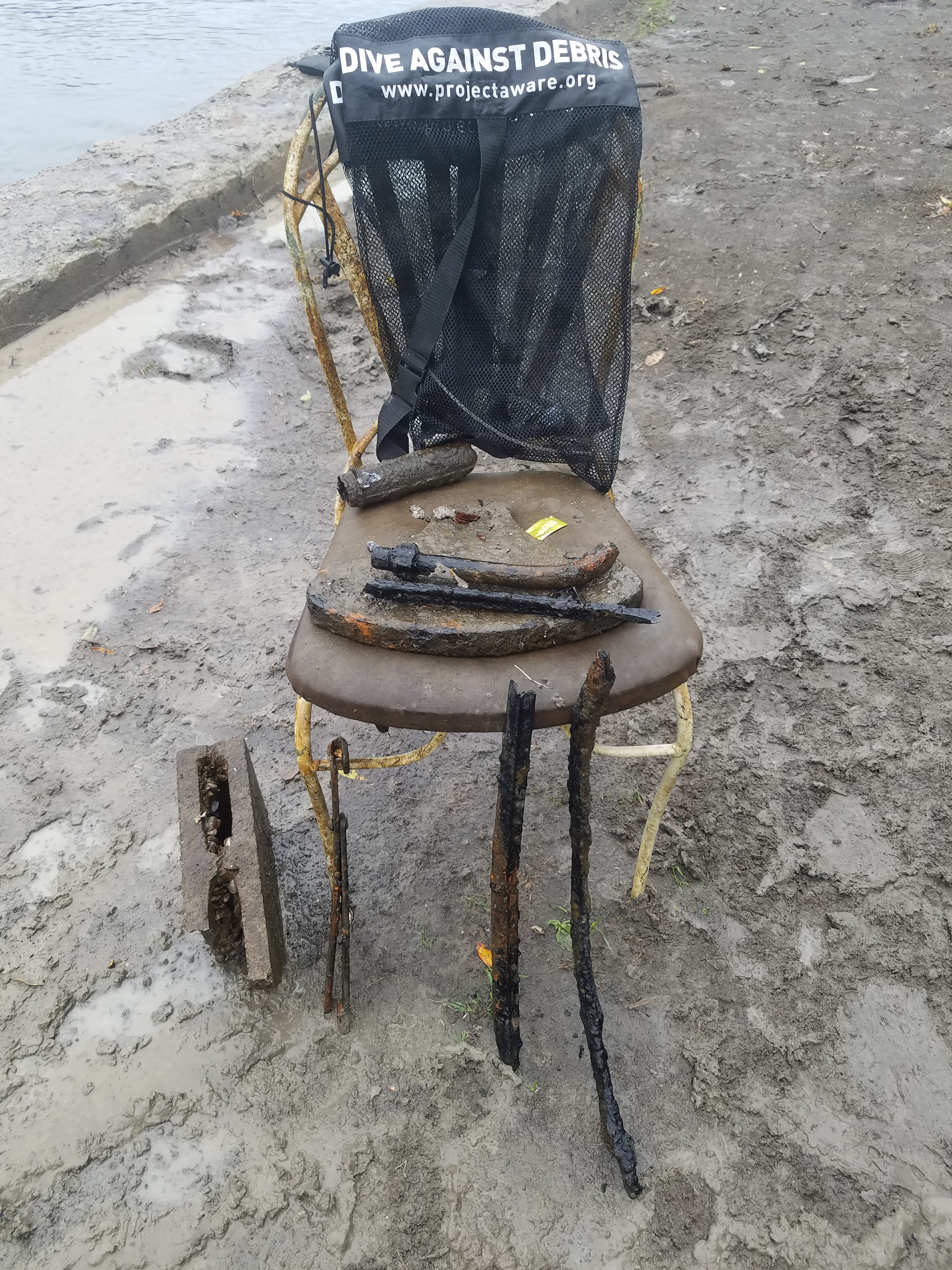
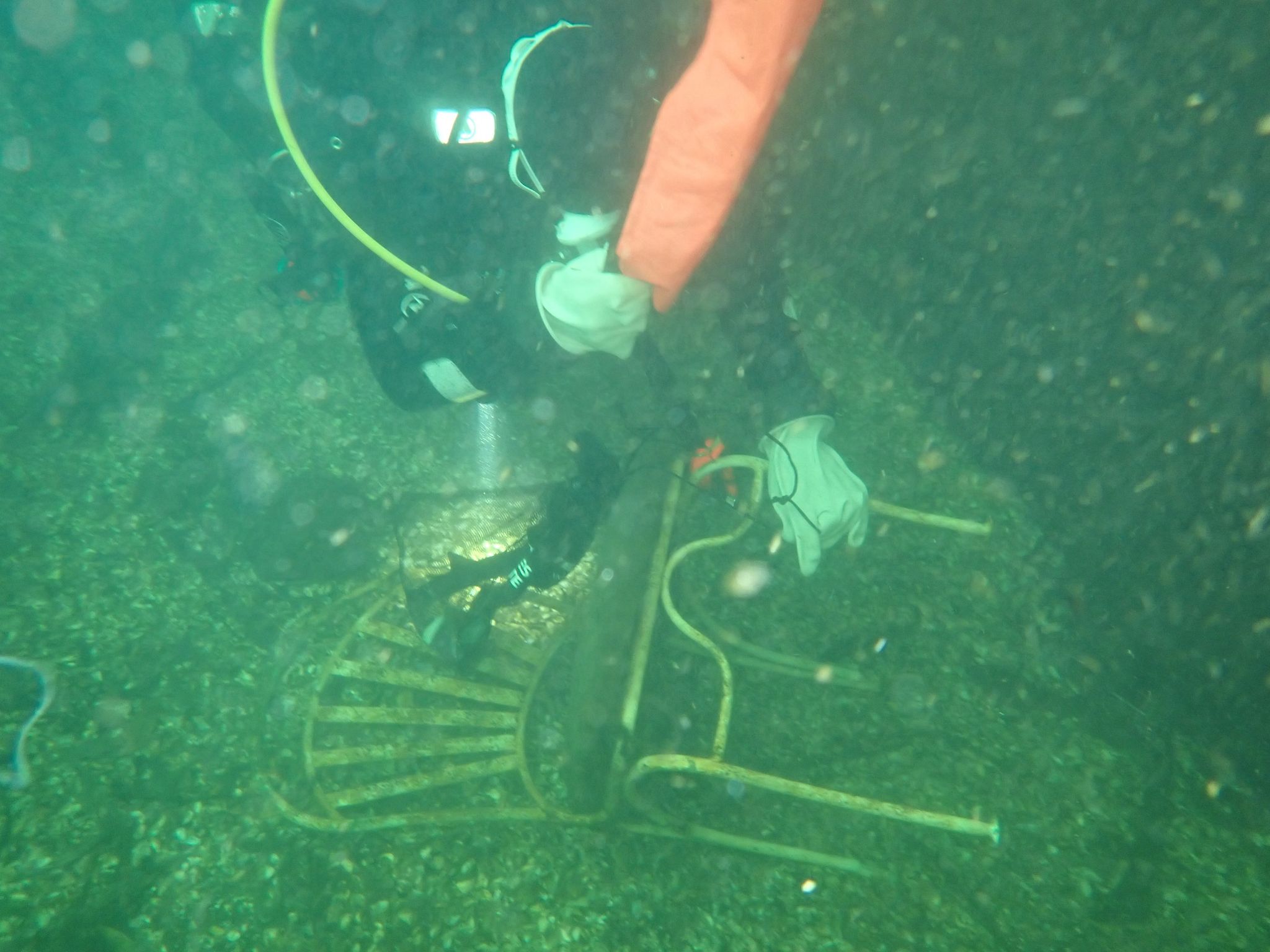
Metal propeller
Sunglasses
Dog leash
Roll of duct tape
Scissors
Pliers
Jewelry
Juice tetra box
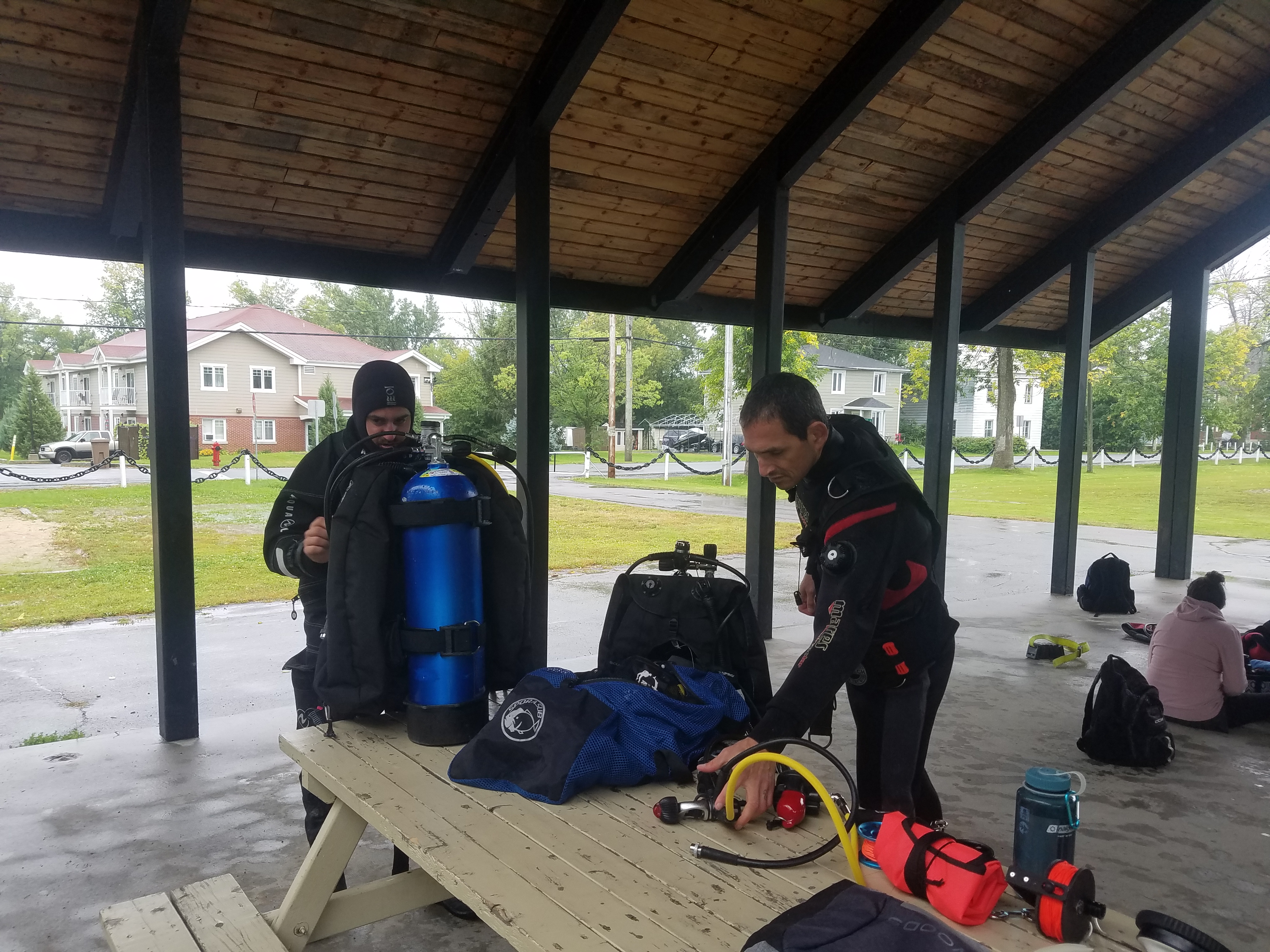
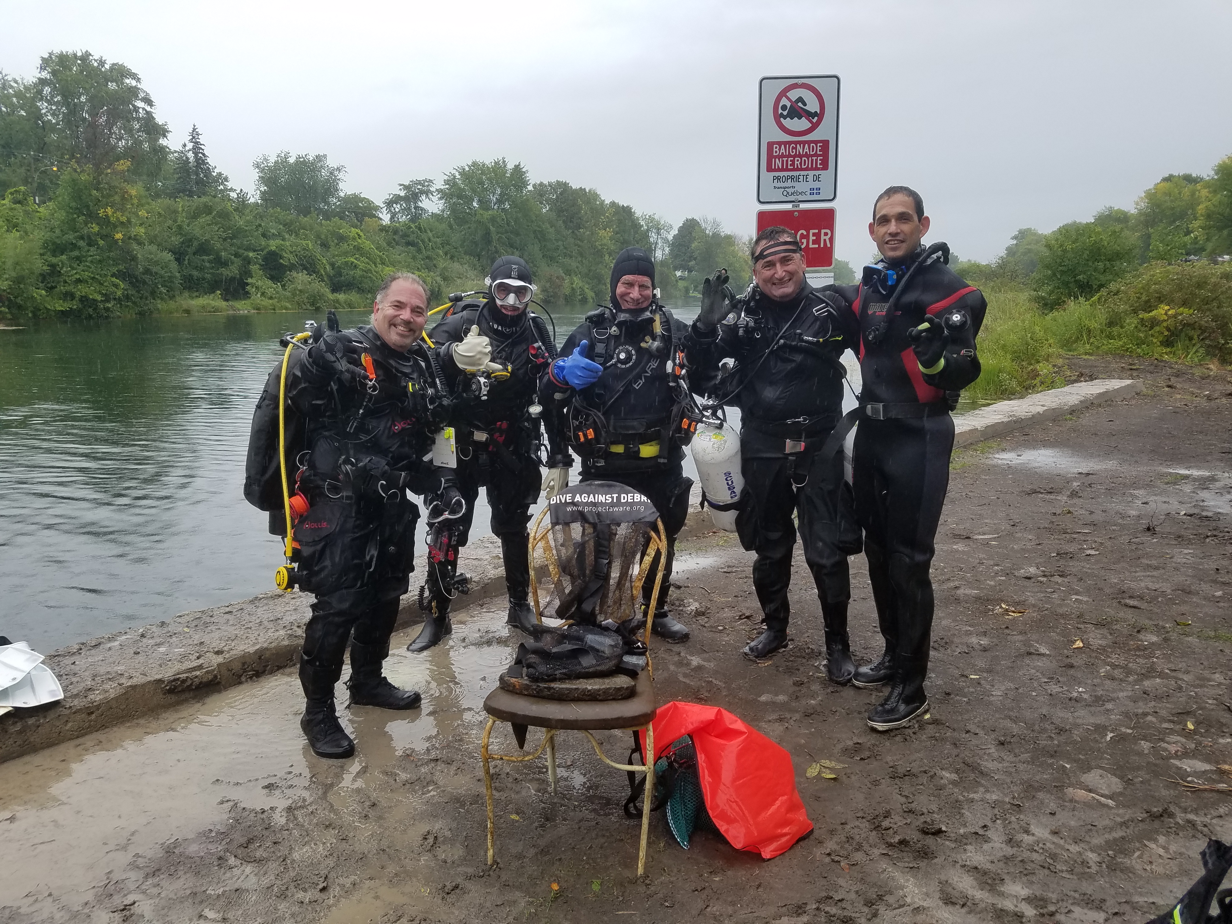
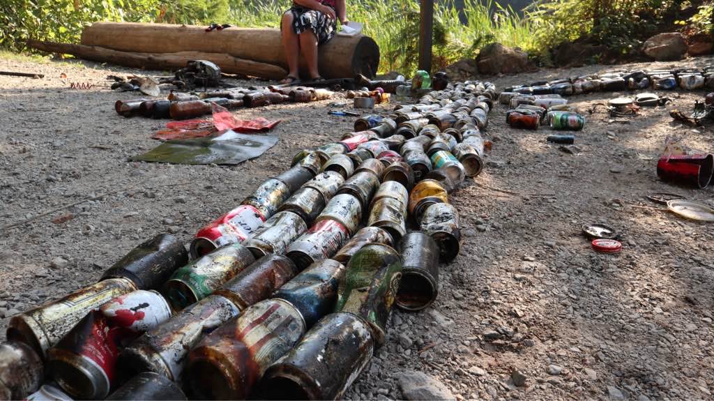
Divers for Cleaner Lakes and Oceans
Henry Wang
0
1
0
17
0
0
0
0
3
0
0
0
0
0
0
0
0
4
0
3
0
0
0
0
0
0
0
1
0
0
18
0
0
0
116.40
60
33.00
3.00
0
measured
0
5
259.00
0
0
0
0
0
0
On
pounds
0
I have debris data to report
30
0
0
Calm (glassy to rippled) for waves 0 – 0.1 meter high
0
0
0
0
2
0
0
m2
0
0
meters
other
10
0
0
0
0
3
0
0
0
7
0
0
3
1
0
0
194
0
0
0
0
0
0
0
0
0
2
0
State\Province
British Columbia
City
Harrison
Map Help
Dive Location
If you know your survey site coordinates, enter them manually in decimal degrees using WGS84 Map Datum. Use the minus sign for latitudes south of the equator and longitudes west of the Prime Meridian to 180 degrees.
If you do not know your survey site coordinates, click the “Map Location” tab to use the map to zoom into your survey site and drop the pin on the map to fall within your survey dive site in the water (not on land or the beach). Ensure you zoom in as much as possible to ensure data accuracy.
Entangled Help