San Juan
coral
 Mexico
30
20.54840296829, -86.931222621359
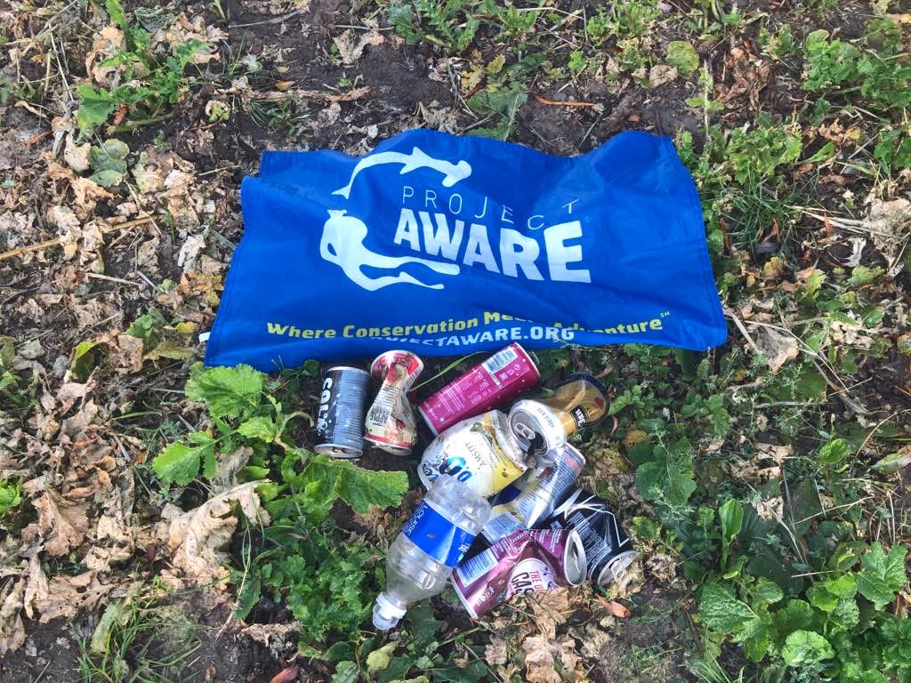
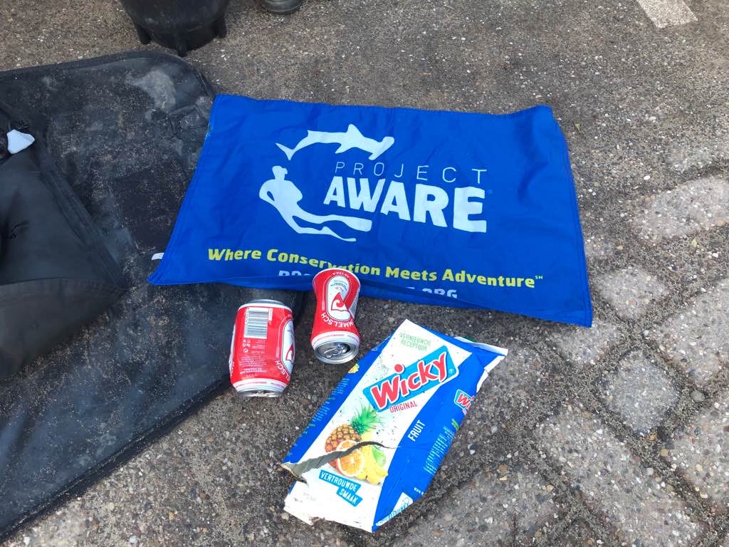
New folded trash bag
SSE winds 15 knots
Aldora Divers
Liang Chen
4
1
2.50
79
60.00
40.00
estimated
11
2000.00
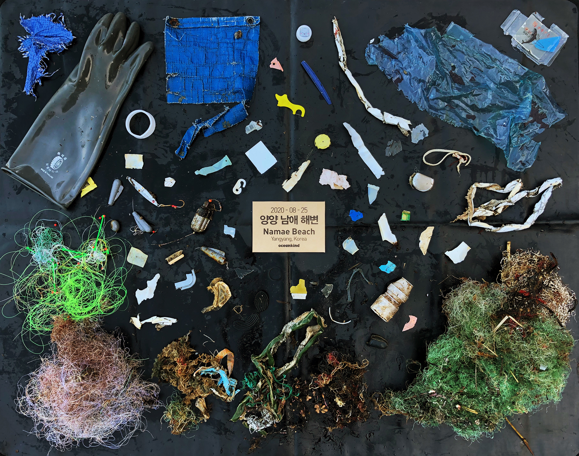
Fishing line
Sinkers
Hooks
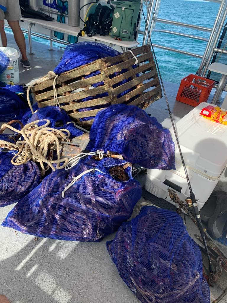
On
pounds
I have debris data to report
Smooth (wavelets) for waves 0.1 - 0.5 meter high
m2
feet
coral reef
State\Province
Quintana Roo
City
San Miguel
Map Help
Dive Location
If you know your survey site coordinates, enter them manually in decimal degrees using WGS84 Map Datum. Use the minus sign for latitudes south of the equator and longitudes west of the Prime Meridian to 180 degrees.
If you do not know your survey site coordinates, click the “Map Location” tab to use the map to zoom into your survey site and drop the pin on the map to fall within your survey dive site in the water (not on land or the beach). Ensure you zoom in as much as possible to ensure data accuracy.
Entangled Help