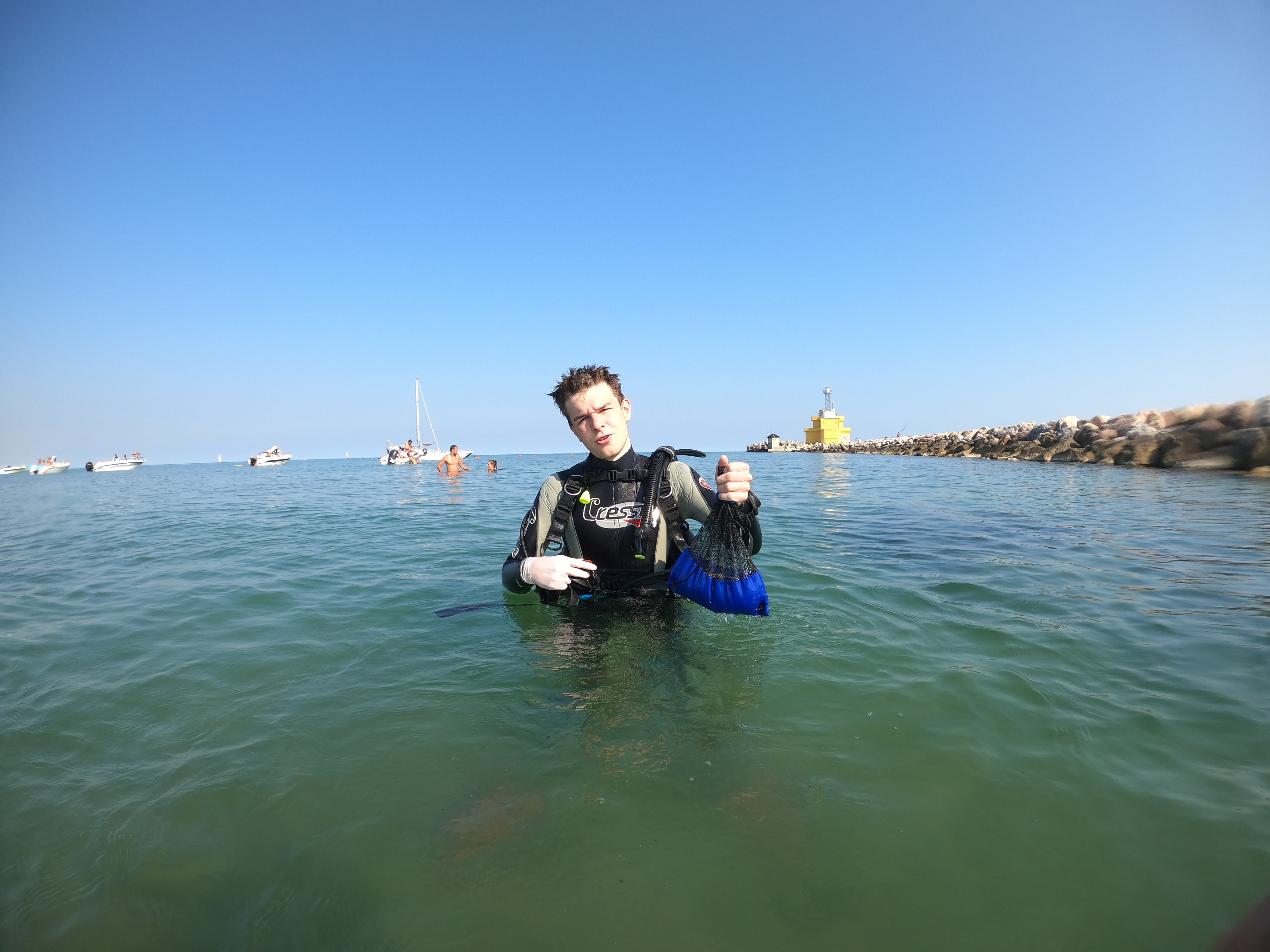
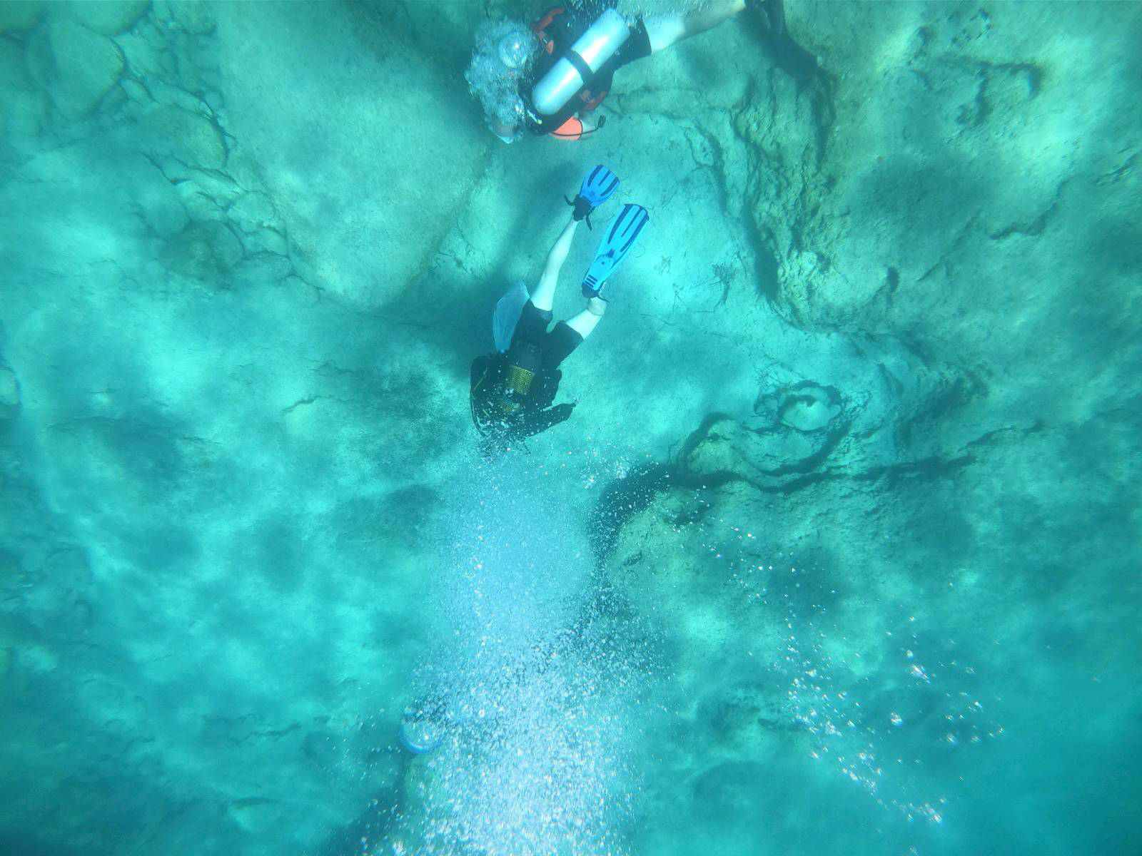
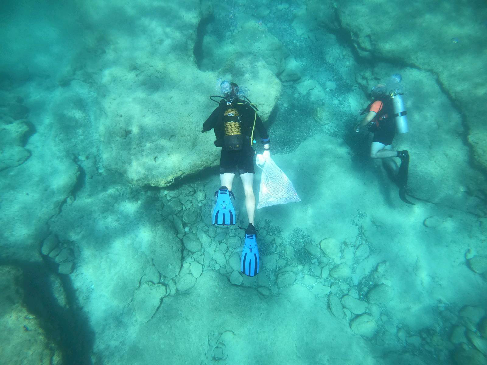
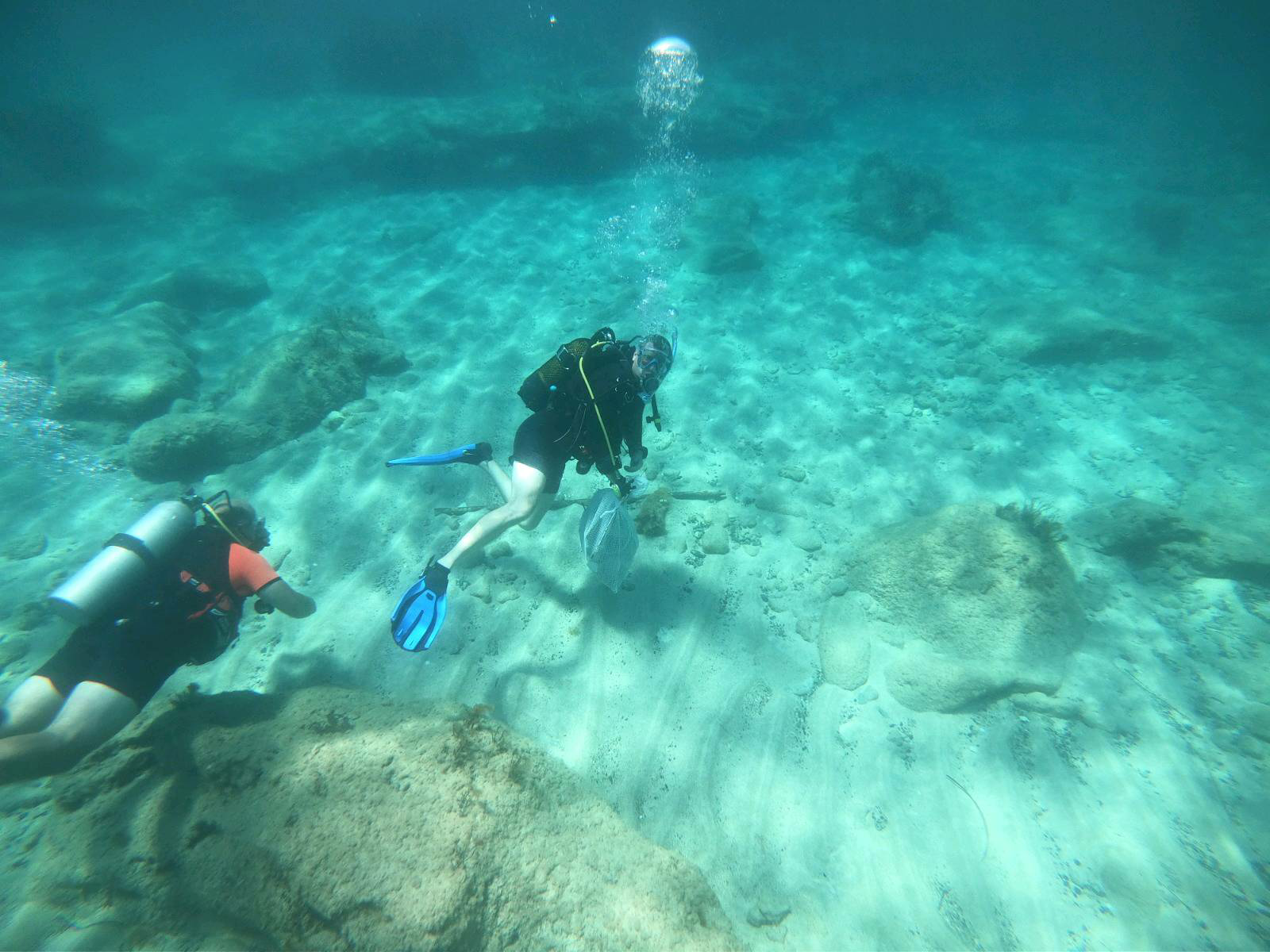
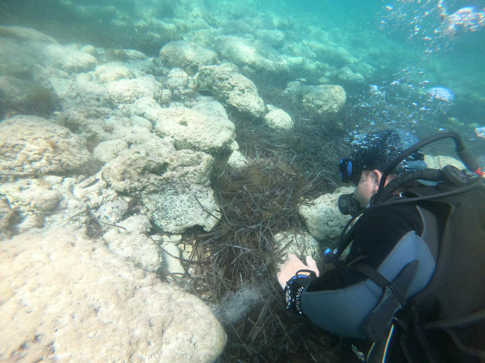
Bachelor Beach Bonaire
2
-2
12.125374357884, -68.287442922592
3
23
1
12.125374357884, -68.287442922592
this is a popular site for locals to swim and have parties at.
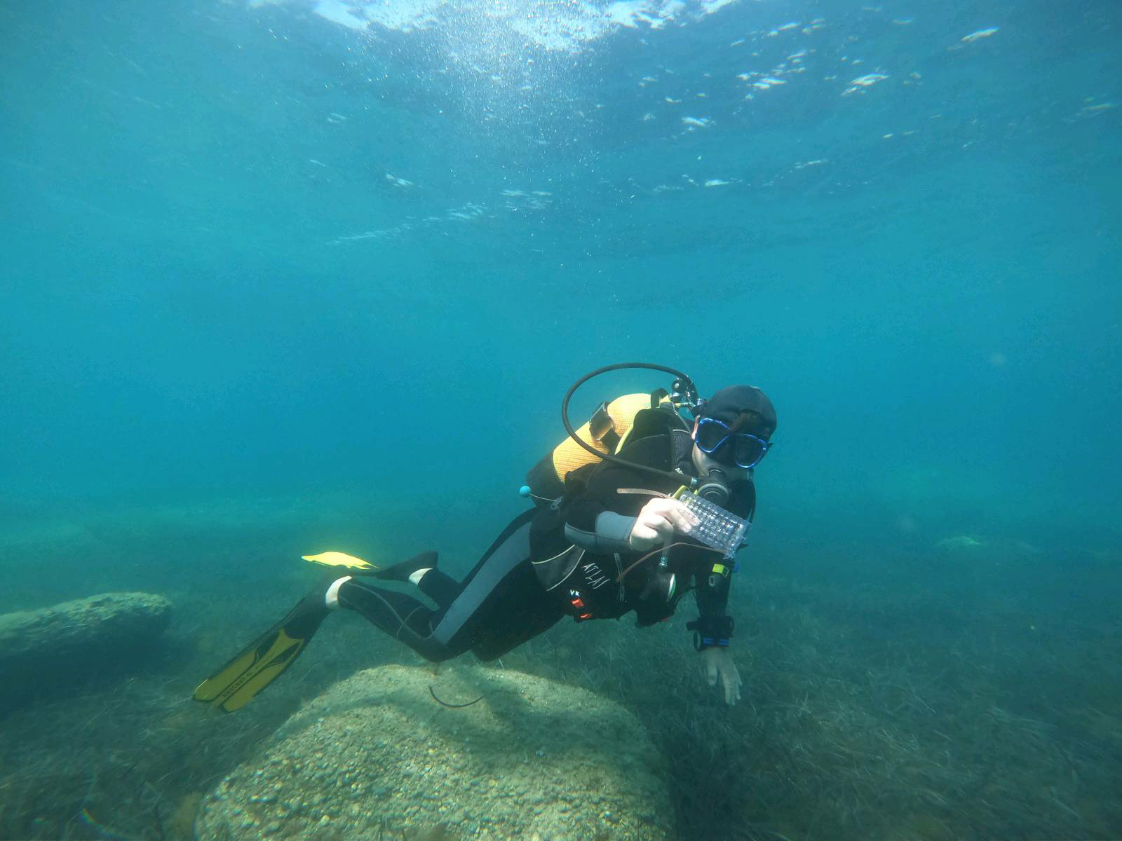
sunny
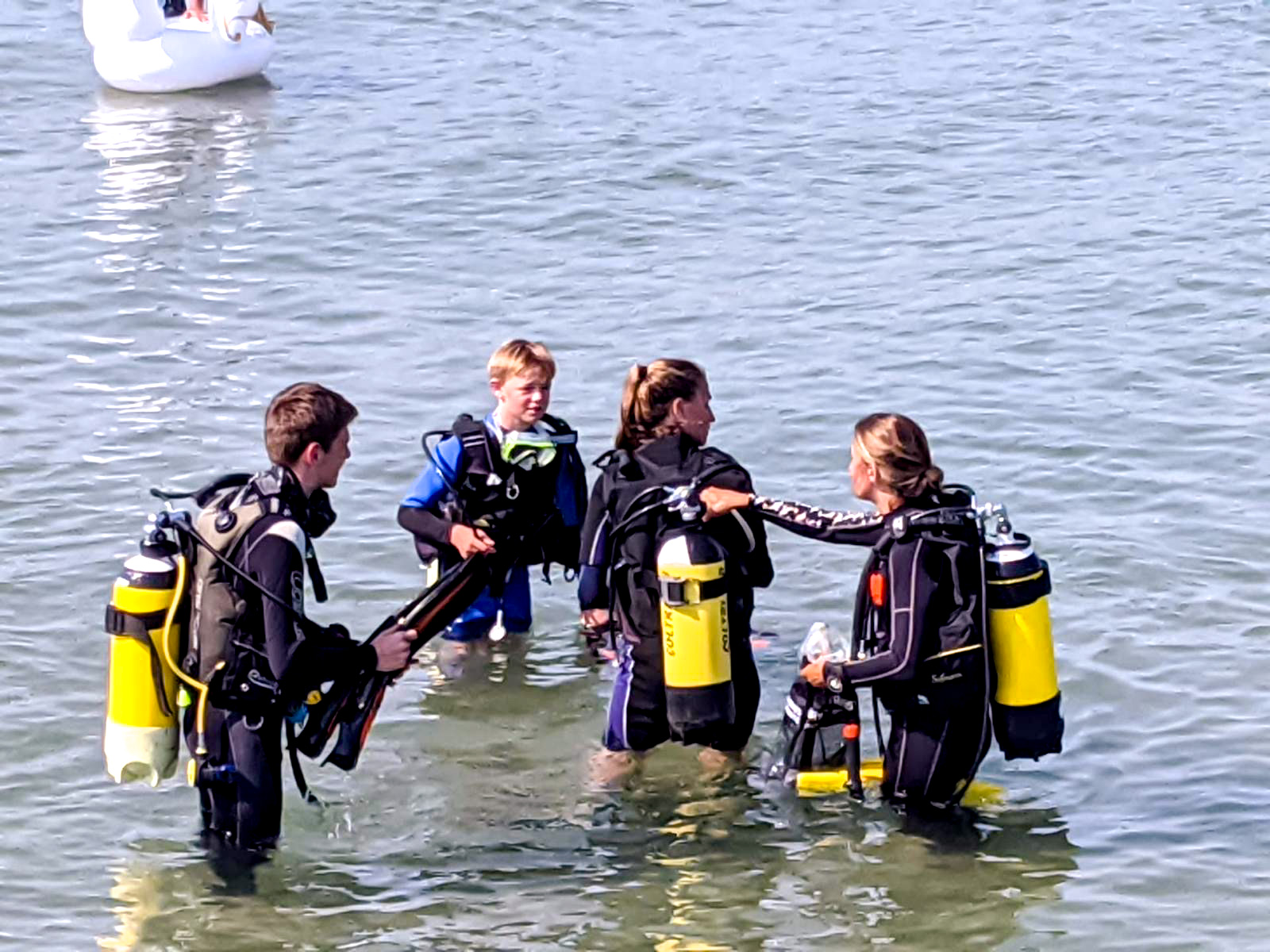
Dive Friends Bonaire
Monique Kooijman
4
8
2
1
20
1
3
2
5
30.00
608
18.60
6.00
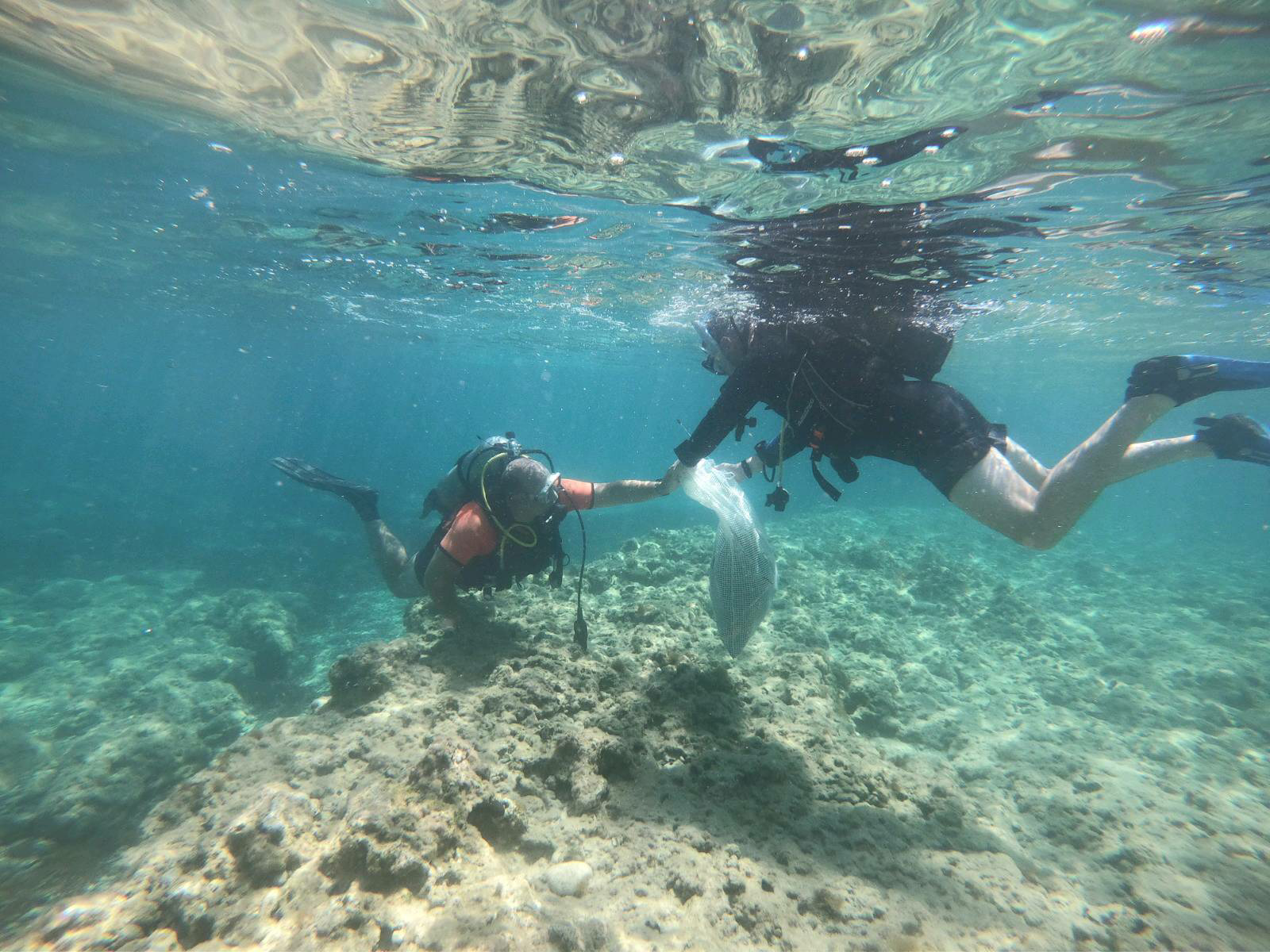
estimated
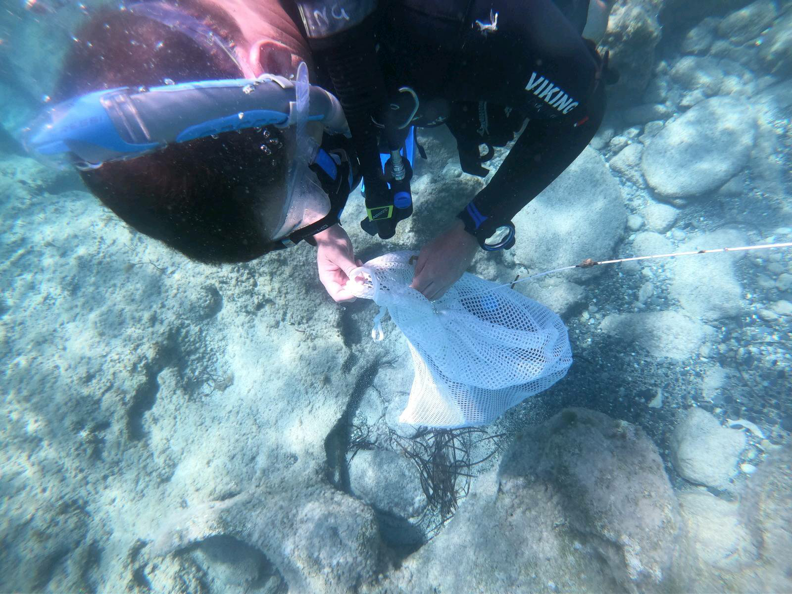
2500.00
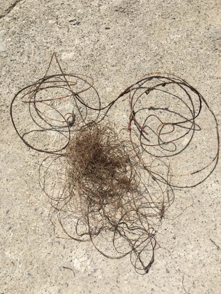
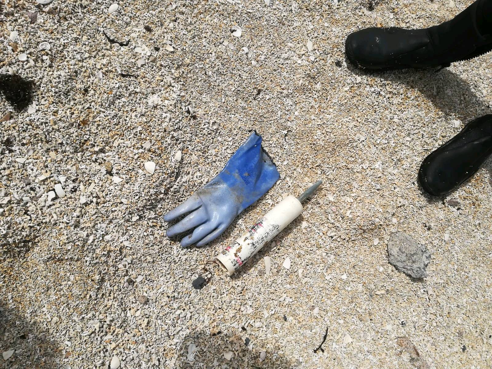
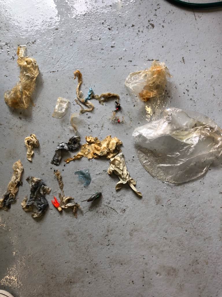
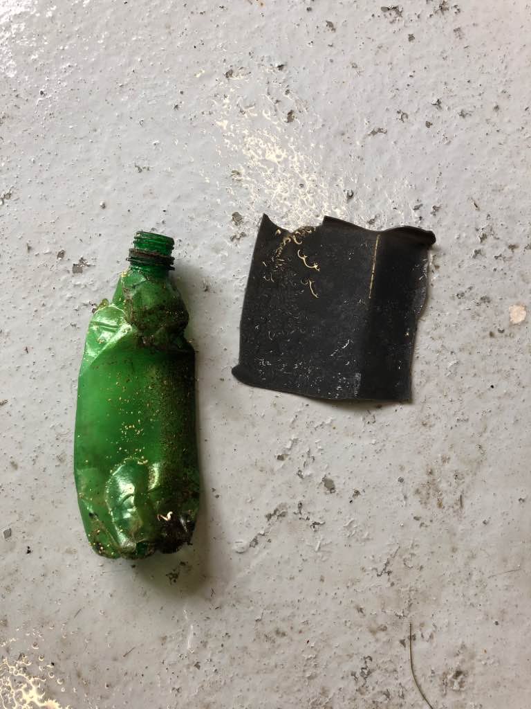
fishing line
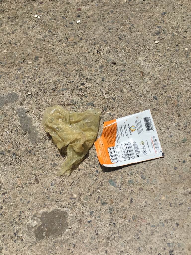
plastic cups
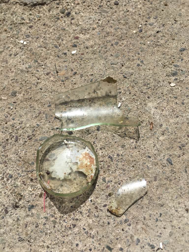
glass bottles
On
kilograms
I have debris data to report
4
Calm (glassy to rippled) for waves 0 – 0.1 meter high
0
1
m2


meters
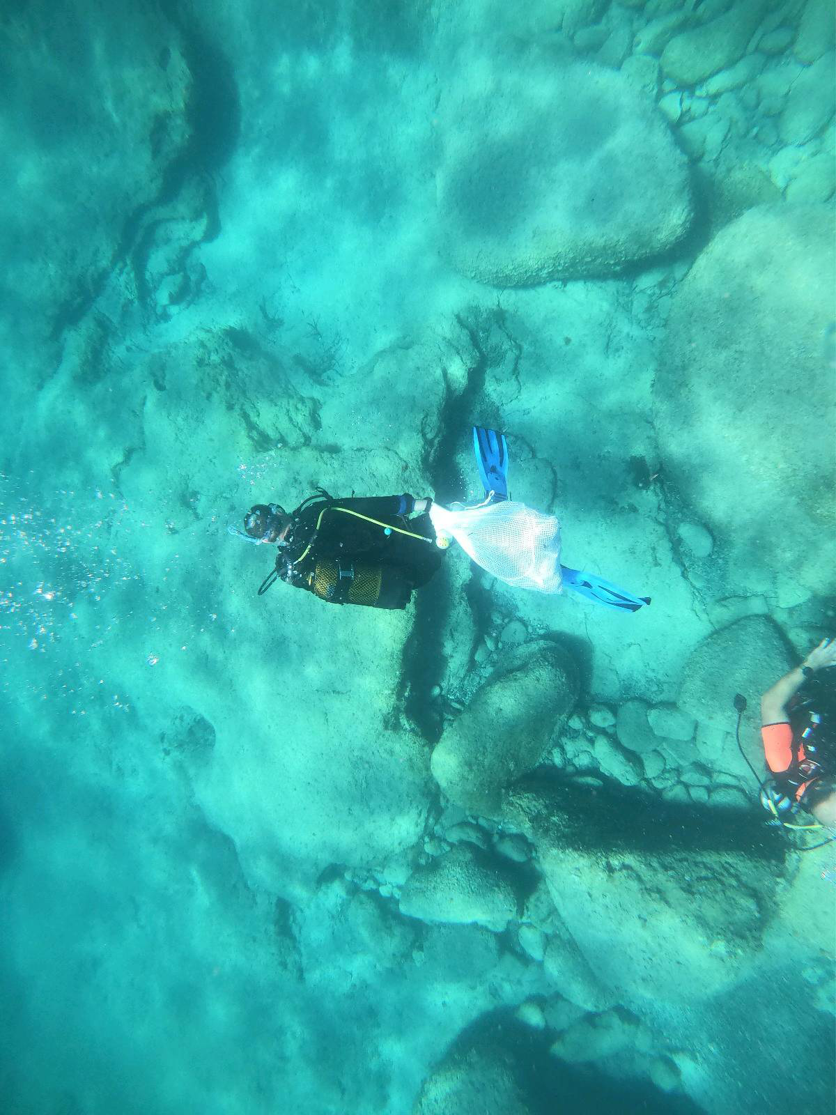
coral reef
10
City
Kralendijk
Map Help
Dive Location
If you know your survey site coordinates, enter them manually in decimal degrees using WGS84 Map Datum. Use the minus sign for latitudes south of the equator and longitudes west of the Prime Meridian to 180 degrees.
If you do not know your survey site coordinates, click the “Map Location” tab to use the map to zoom into your survey site and drop the pin on the map to fall within your survey dive site in the water (not on land or the beach). Ensure you zoom in as much as possible to ensure data accuracy.
Entangled Help